
Hochtor
Beschrijving
- Hoogte 2369.00 m
Links
Feiten
Verslagen
Gidsen en kaarten
Overnachting
Organisaties
Reisorganisaties
GPS
Anders
Kaarten
De Zwerver
Netherlands
2018
Netherlands
2018
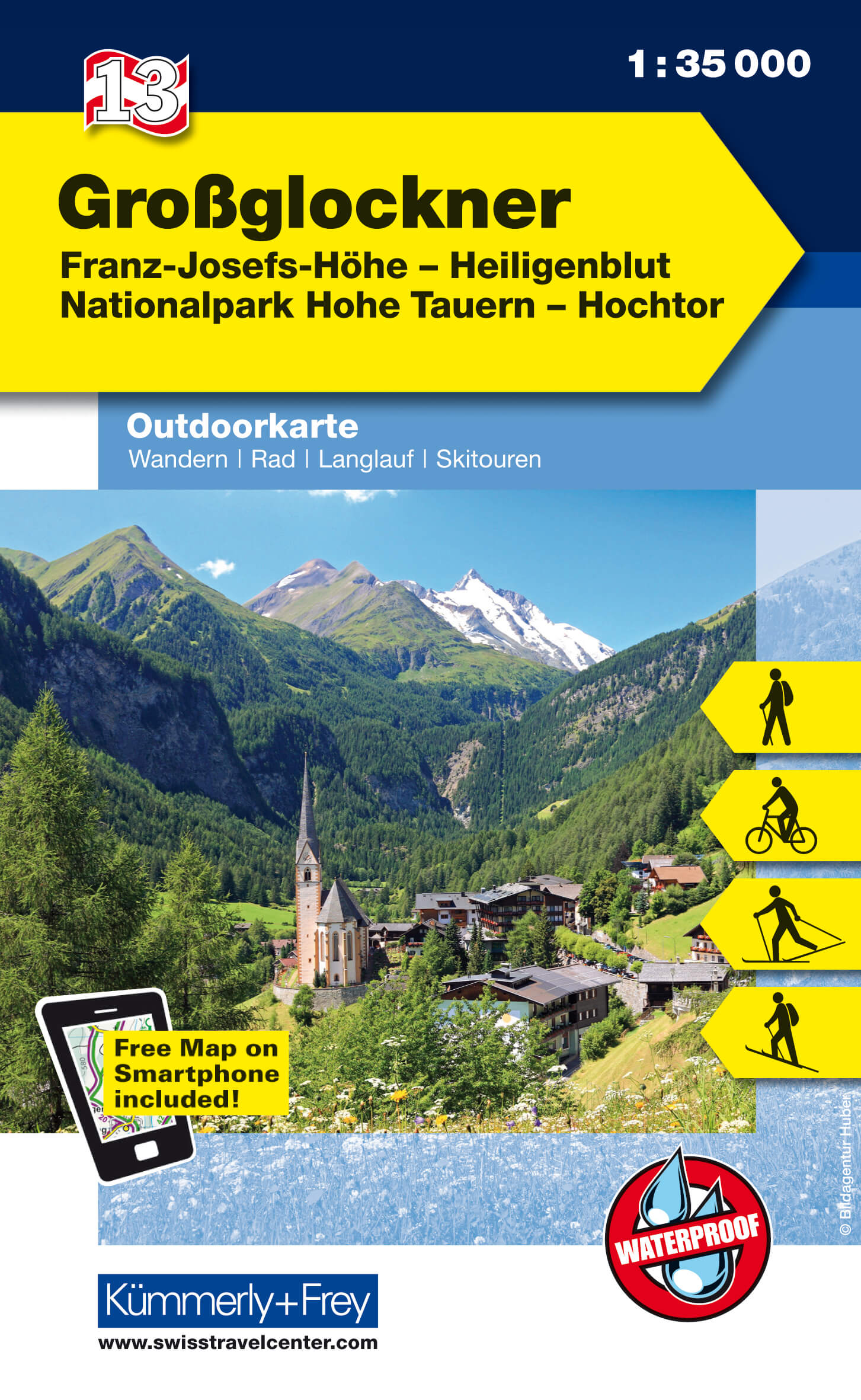
- Wandelkaart 13 Outdoorkarte AT Grossglockner | Kümmerly & Frey
- Grossglockner - Franz-Josefs-Hohe - Heiligenblut - Hohe Tauern NP - Hochtor area of the Tyrol at 1:35,000 on a GPS compatible, double-sided map from Kümmerly+Frey printed on sturdy, waterproof and tear-resistant synthetic paper; contoured, with hiking, cycling and ski routes, accommodation facilities, locations for other recreational... Read more
- Also available from:
- Stanfords, United Kingdom

Stanfords
United Kingdom
2018
United Kingdom
2018
- Grossglockner - Franz-Josefs-Hohe - Heiligenblut - Hohe Tauern NP - Hochtor K+F Outdoor Map 13
- Grossglockner - Franz-Josefs-Hohe - Heiligenblut - Hohe Tauern NP - Hochtor area of the Tyrol at 1:35,000 on a GPS compatible, double-sided map from Kümmerly+Frey printed on sturdy, waterproof and tear-resistant synthetic paper; contoured, with hiking, cycling and ski routes, accommodation facilities, locations for other recreational... Read more