
Liège
Beschrijving
Province in Eastern Belgium.
Kaart

Paden in deze landsdeel
- E2GPX
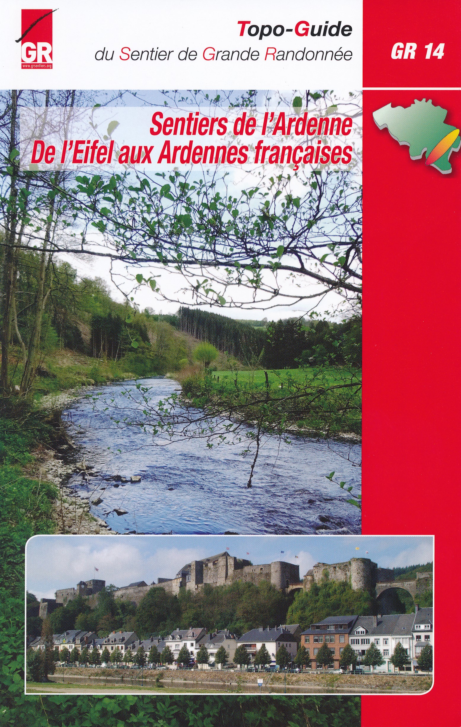
- GR14 - Sentier de l'ArdenneGPX
- GR15 - AE - Ardennes-EifelGPX
- GR16 - Sentier de la SemoisGPX
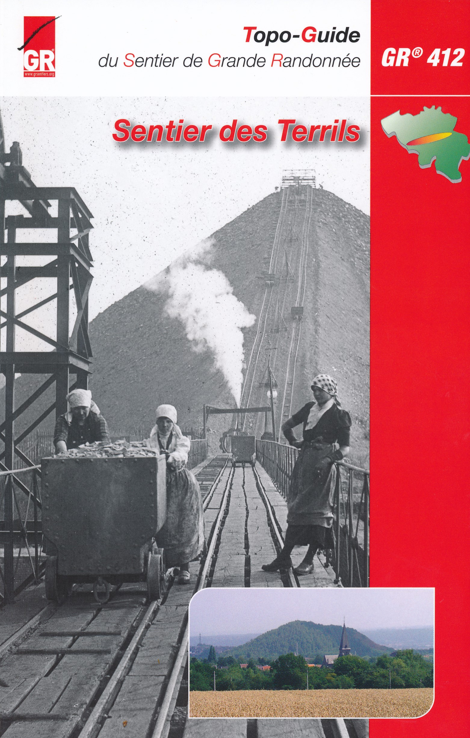
- GR412 - Sentier des TerrilsGPX
- GR5GPX
- GR56 - Hautes Fagnes - EifelGPX
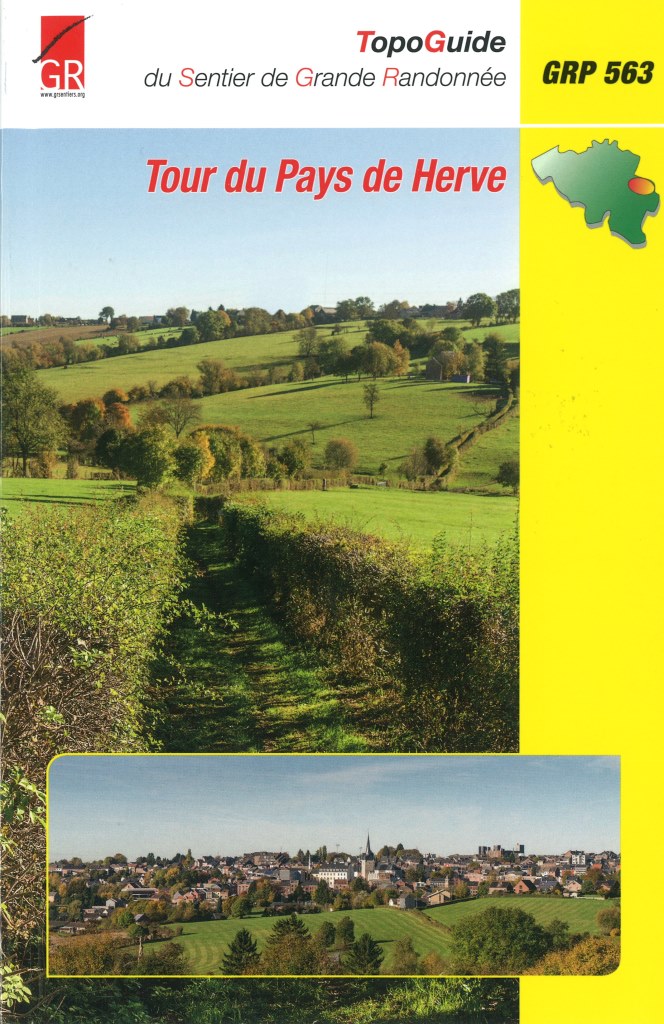
- GR563 - Tour du Pays de HerveGPX
- GR564 - Kempen - CondrozGPX
- GR57 - Vallée de l'OurtheGPX
- GR571 - Vallées des LégendesGPX
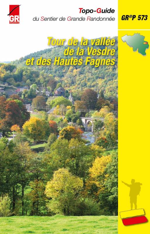
- GR573 - Hautes FagnesGPX
- GR576 - Tour du Condroz LiégeoisGPX
- GR577 - Tour de la FamenneGPX
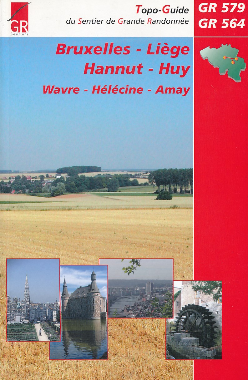
- GR579 - Brussels - LiègeGPX
- Tour de la Vesdre
- Transardense Route
- Via Gallia BelgicaGPX
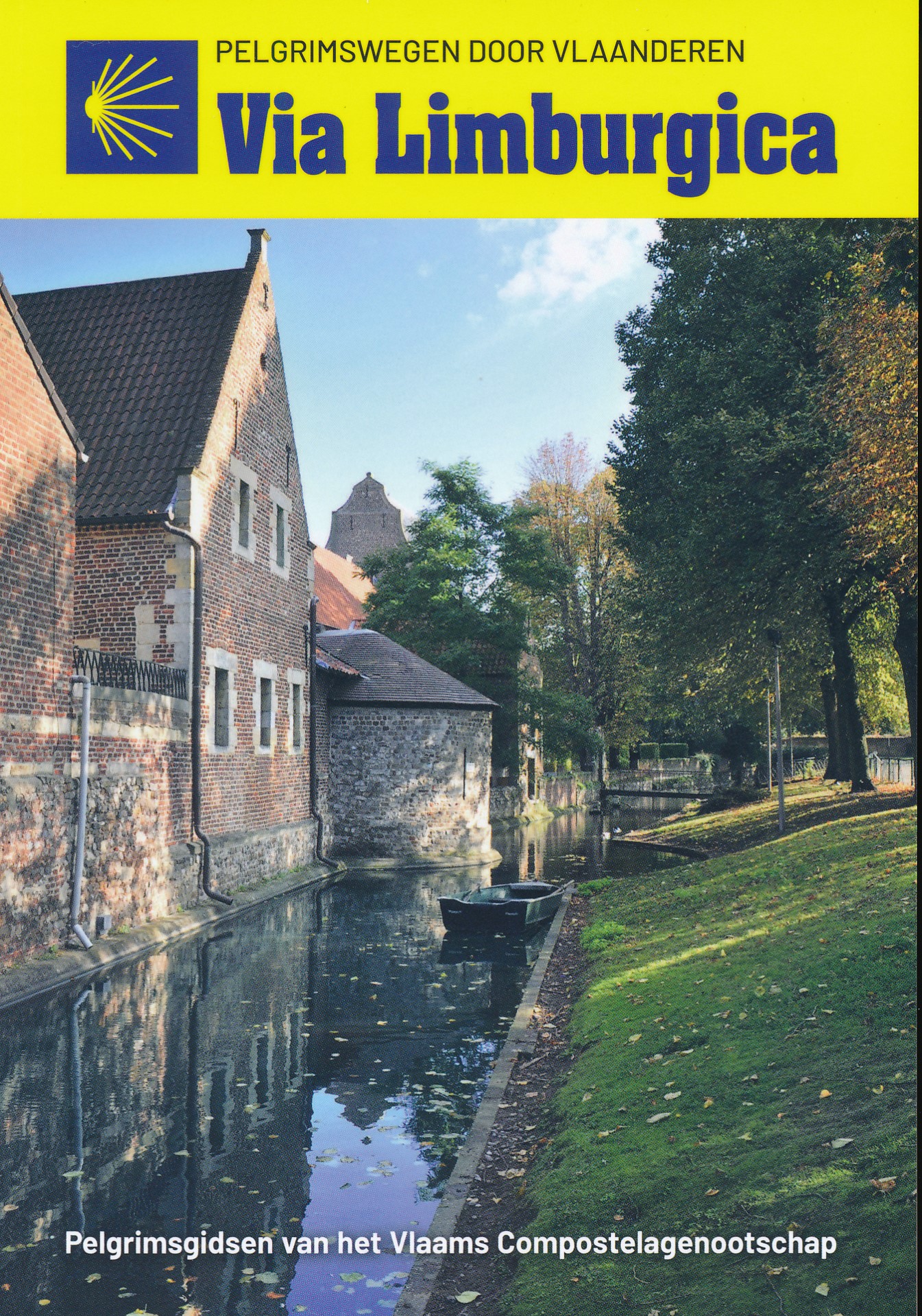
- Via LimburgicaGPX
- Via MonasticaGPX
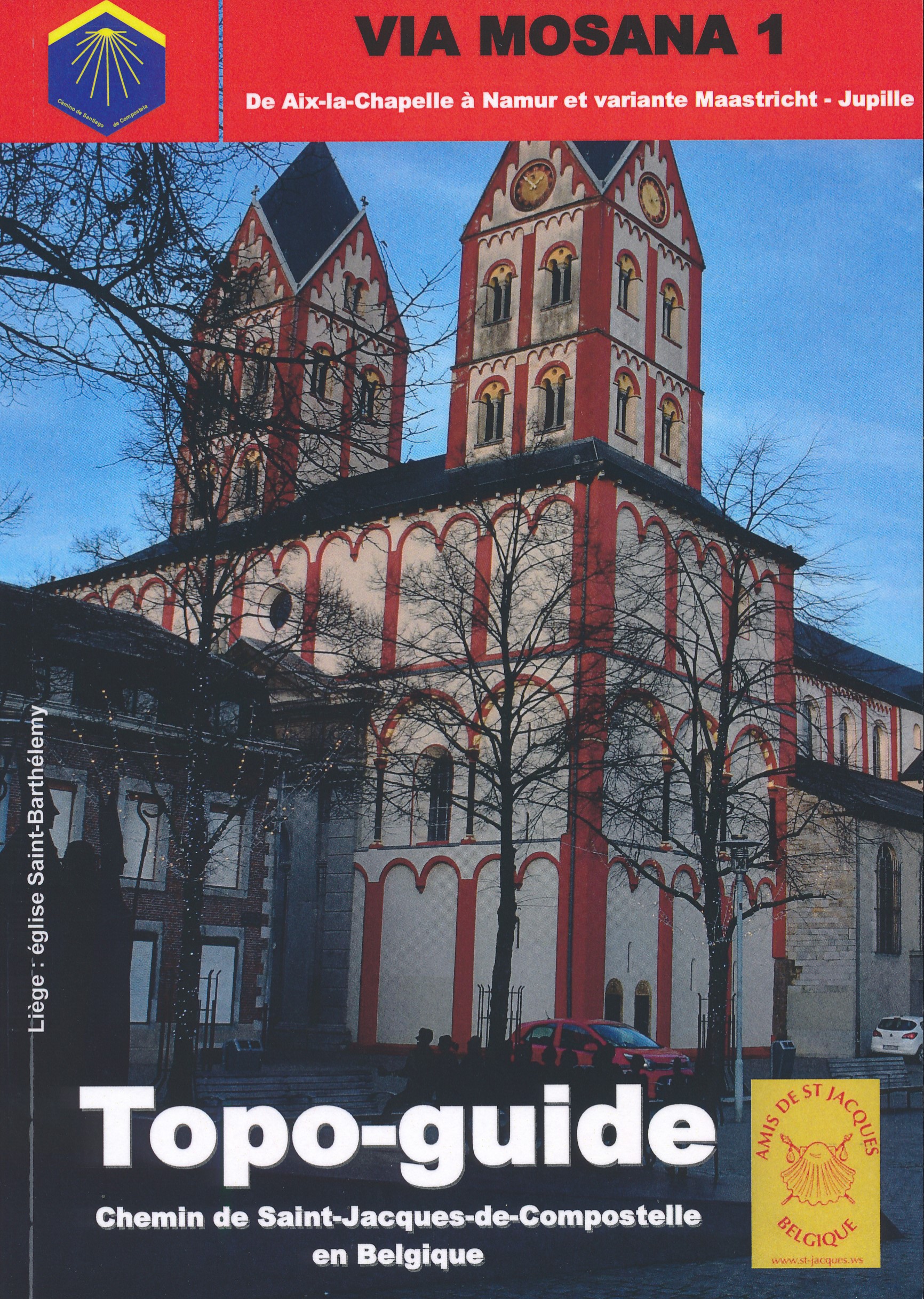
- Via MosanaGPX
Links
Feiten
Verslagen
Gidsen en kaarten
Overnachting
Organisaties
Reisorganisaties
GPS
Anders
Boeken
De Zwerver
Netherlands
2018
Netherlands
2018
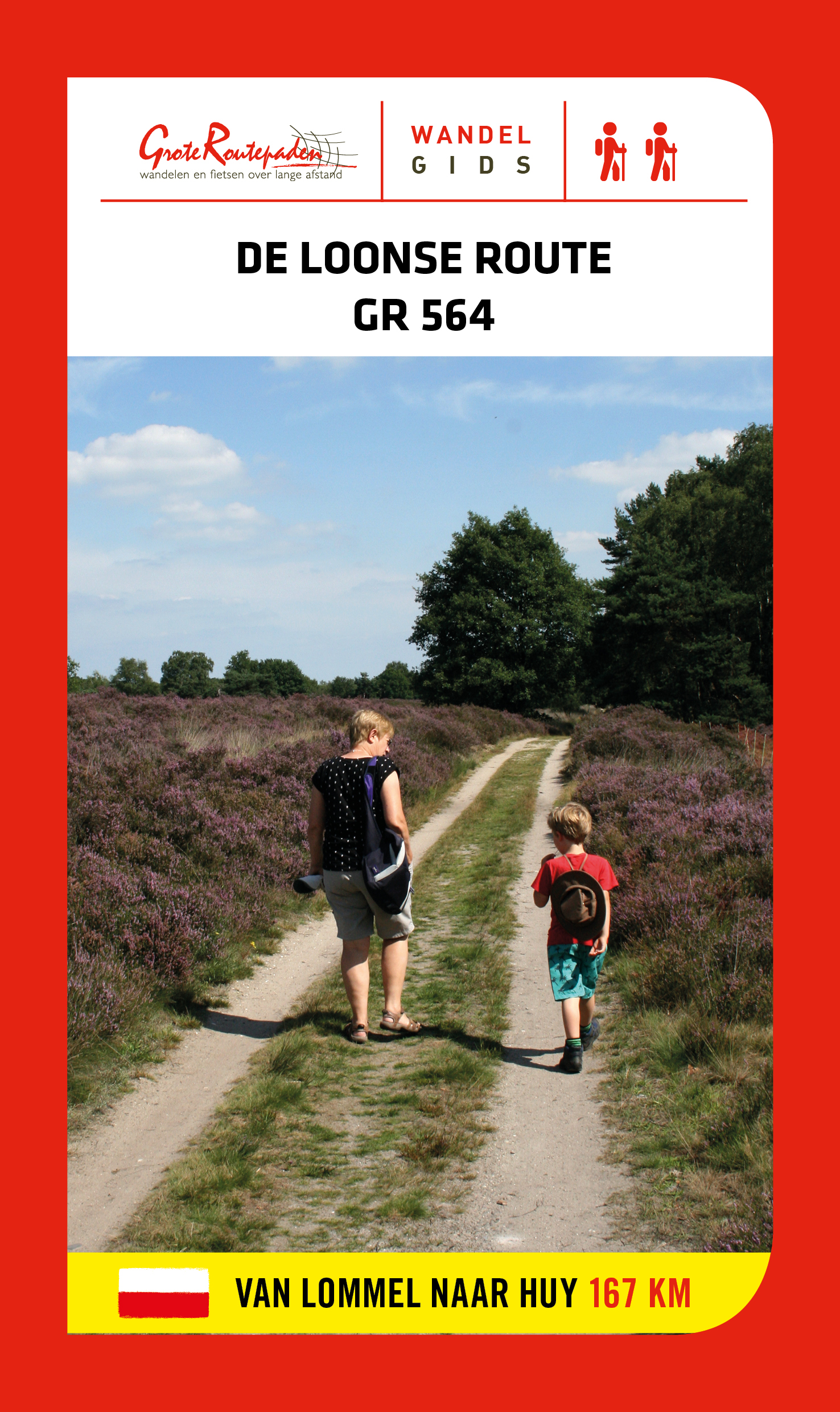
- Wandelgids GR 564 De Loonse route | Grote Routepaden
- GR 564 is afwisseling en contrast. Duinen en vennen, zand en water, heide en bos in de Limburgse Kempen. Natte beemden, fruitplantages en maïs; grote vierkanthoeven en kleine dorpen met spitse kerktorens. In Haspengouw word je telkens verrast door weidse vergezichten. Je steekt de taalgrens over en duikt de vallei van de Mehaigne in: hoogtes en... Read more
De Zwerver
Netherlands
2022
Netherlands
2022

De Zwerver
Netherlands
2021
Netherlands
2021
De Zwerver
Netherlands
2023
Netherlands
2023

De Zwerver
Netherlands
2021
Netherlands
2021

De Zwerver
Netherlands
2021
Netherlands
2021
De Zwerver
Netherlands
2004
Netherlands
2004
- Wandelgids Bruxelles - Liege - Hannut - Huy | GR Sentiers
- De GR 579 start bij de wandelboom achter de Sint Michielskathedraal in Brussel; op die plaats komen ook de GR 12 en de GR 126 voorbij. Van Brussel gaat het door het Terkamerenbos en Watermael-Bosvoorde naar het Zoniënwoud. Als je dat verlaat kruis je in Huldenberg de GR 512 om door een glooiend landschap naar Pécrot op Waals grondgebied te... Read more

De Zwerver
Netherlands
2017
Netherlands
2017
- Wandelgids GR 563 Land van Herve | GR Sentiers
- Franstalige gids voor de GR pays 563 (159,7 km) tussen Luik, Verviers, Eupen, Vaals (drielandenpunt), Voerstreek. De gids bevat deelkaartjes, beschrijvingen, en handige toeristische informatie (restaurants, openbaar vervoer, bezienswaardigheden): 160 km lange rondwandeling voor wie houdt van een tocht vol afwisseling op vlak van natuur en... Read more

De Zwerver
Netherlands
2014
Netherlands
2014
- Wandelgids 901 Tours et traversées dans l'Ain GR9, GR9A, GR59 | FFRP
- Guide FFRandonnée Tours et Traversée dans l'ain. GR 59, 9, 9A. Etangs de la Dombes, monts et cluses du Revermont ou bocages de la Bresse. Plus de 50 jours de randonnée.Depuis les Monts du Jura, du Revermont ou du Bugey, ces itinéraires en boucle ou en ligne offrent aux randonneurs des vues imprenables. voici à l'est le Mont Blanc et les... Read more
- Also available from:
- Stanfords, United Kingdom

Stanfords
United Kingdom
2014
United Kingdom
2014
- GR59/GR9/GRP: Tours et Traversées de l`Ain FFRP Topo-guide No. 901
- Tours et Traversées de l`Ain, FFRP topoguide, Ref. No. 901, covering in all 949km of hiking trails in the French Jura between Lons-le-Saunier and the confluence of the Ain and the Rhône, including sections of GR 5, 9 and 9A. Current edition of this title was published in June 2014.ABOUT THE FFRP (Fédération française de la randonnée pédestre)... Read more
De Zwerver
Netherlands
2023
Netherlands
2023
De Zwerver
Netherlands
2018
Netherlands
2018
- Wandelgids GR14 Sentier de l'Ardenne | GR Sentiers
- GR 14 neemt je mee door uitgestrekte bossen; loopt langs betoverende rivieren zoals de Warche, Amblève; Liene, Ourthe, Lesse en de Semois en doet typische dorpjes en charmante kleine steden aan zoals Stavelot, Trois-Ponts, Lierneux, La Roche, Saint-Hubert enBouillon. De route is een onuitputtelijke bron van ontdekkingen voor de wandelaar die... Read more
Kaarten
De Zwerver
Netherlands
2021
Netherlands
2021
De Zwerver
Netherlands
2022
Netherlands
2022
De Zwerver
Netherlands
Netherlands
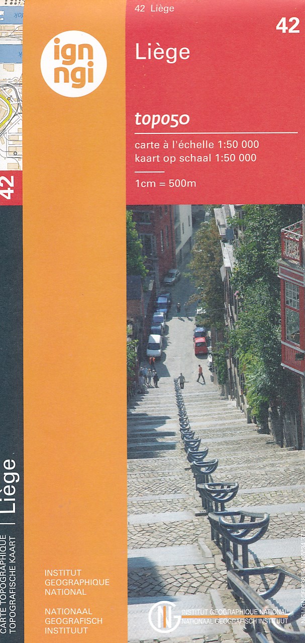
- Topografische kaart - Wandelkaart 42 Topo50 Luik - Liege | NGI - Nationaal Geografisch Instituut
- Topographical survey of Belgium at 1:50,000 from the country’s national survey organization, Nationaal Geografisch Instituut / Institut Géographique National. Contour interval varies according to the terrain, from 2.5 metres in the coastal areas to 10 metres in the Ardennes. The maps provide all the information expected of topographic mapping... Read more
- Also available from:
- Stanfords, United Kingdom

Stanfords
United Kingdom
United Kingdom
- Liège NGI Topo 42
- Topographical survey of Belgium at 1:50,000 from the country’s national survey organization, Nationaal Geografisch Instituut / Institut Géographique National. Contour interval varies according to the terrain, from 2.5 metres in the coastal areas to 10 metres in the Ardennes. The maps provide all the information expected of topographic mapping... Read more
De Zwerver
Netherlands
2023
Netherlands
2023
De Zwerver
Netherlands
Netherlands
- Also available from:
- Stanfords, United Kingdom

Stanfords
United Kingdom
United Kingdom
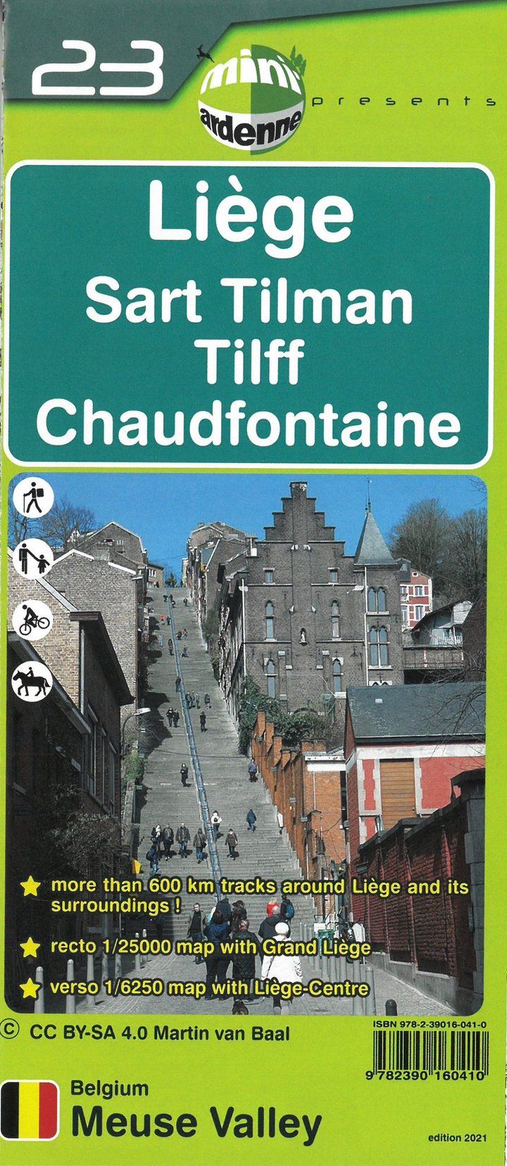
- Liège - Sart Tilman - Tilff - Chaudfontaine Mini-Ardenne 23
- Ardennes Recreational Maps at a scale of 1:25,000 enable you to discover the Ardennes from junction to junction, each associated with a locality, through a network of hiking, cycling or riding paths. The network of mini walks consists of suggested routes with kilometre distance marked showing field boundaries and urbanised built up areas.... Read more
De Zwerver
Netherlands
Netherlands
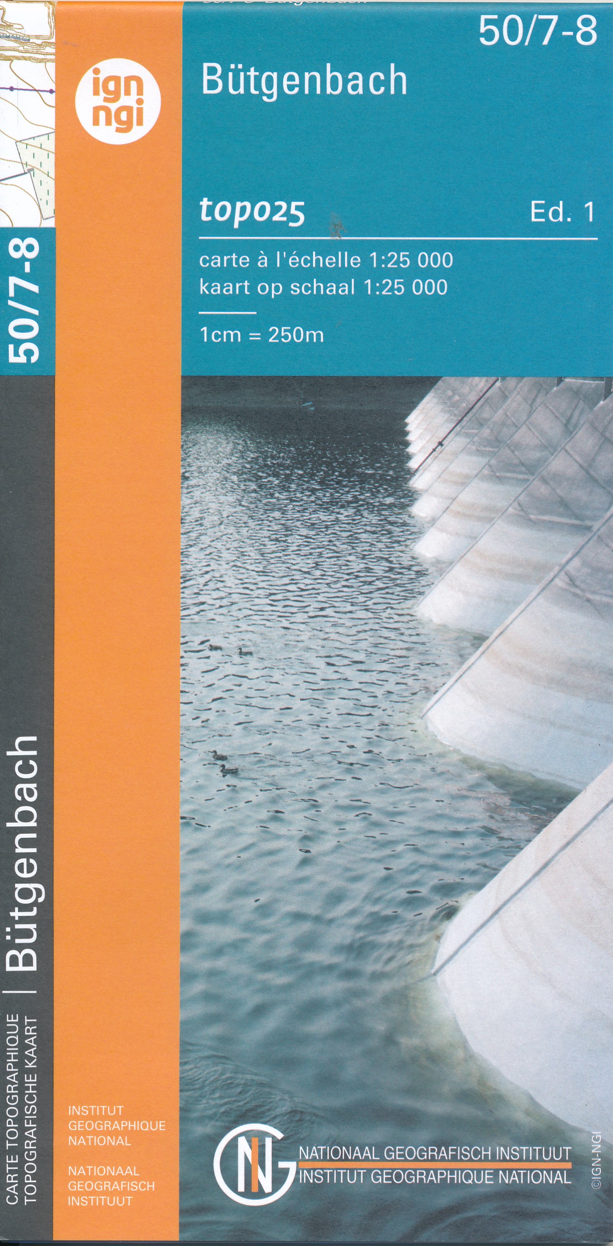
- Wandelkaart - Topografische kaart 50/7-8 Topo25 Bütgenbach - Büllingen,Bullange | NGI - Nationaal Geografisch Instituut
- Topographical survey of Belgium at 1:20,000 from Nationaal Geografisch Instituut / Institut Géographique National, the country’s national survey organization. Each 20K map covers one quarter of the corresponding 1:50,000 map (with adjustments in the border and coastal areas). The maps provide all the information expected of topographic mapping... Read more
- Also available from:
- Stanfords, United Kingdom

Stanfords
United Kingdom
United Kingdom
- Butgenbach NGI Topo 50/7-8
- Topographical survey of Belgium at 1:20,000 from Nationaal Geografisch Instituut / Institut Géographique National, the country’s national survey organization. Each 20K map covers one quarter of the corresponding 1:50,000 map (with adjustments in the border and coastal areas). The maps provide all the information expected of topographic mapping... Read more

De Zwerver
Netherlands
2014
Netherlands
2014
- Wandelkaart 07 Mercantour & Alpi-Maritieme | Didier Richard
- Mercantour National Park and the Maritime Alps on a large, double-sided, contoured and GPS compatible map from Editions Didier Richard highlighting local walking trails and long-distance hiking routes including the GR5. Coverage extends from well north of Col de Larch to Sospel, Levens and Roquestéron in the mountains north of the French... Read more
- Also available from:
- Stanfords, United Kingdom

Stanfords
United Kingdom
2014
United Kingdom
2014
- Mercantour & Alpi-Marittime Didier Richard 07
- Mercantour National Park and the Maritime Alps on a large, double-sided, contoured and GPS compatible map from Editions Didier Richard highlighting local walking trails and long-distance hiking routes including the GR5. Coverage extends from well north of Col de Larch to Sospel, Levens and Roquestéron in the mountains north of the French... Read more
De Zwerver
Netherlands
Netherlands
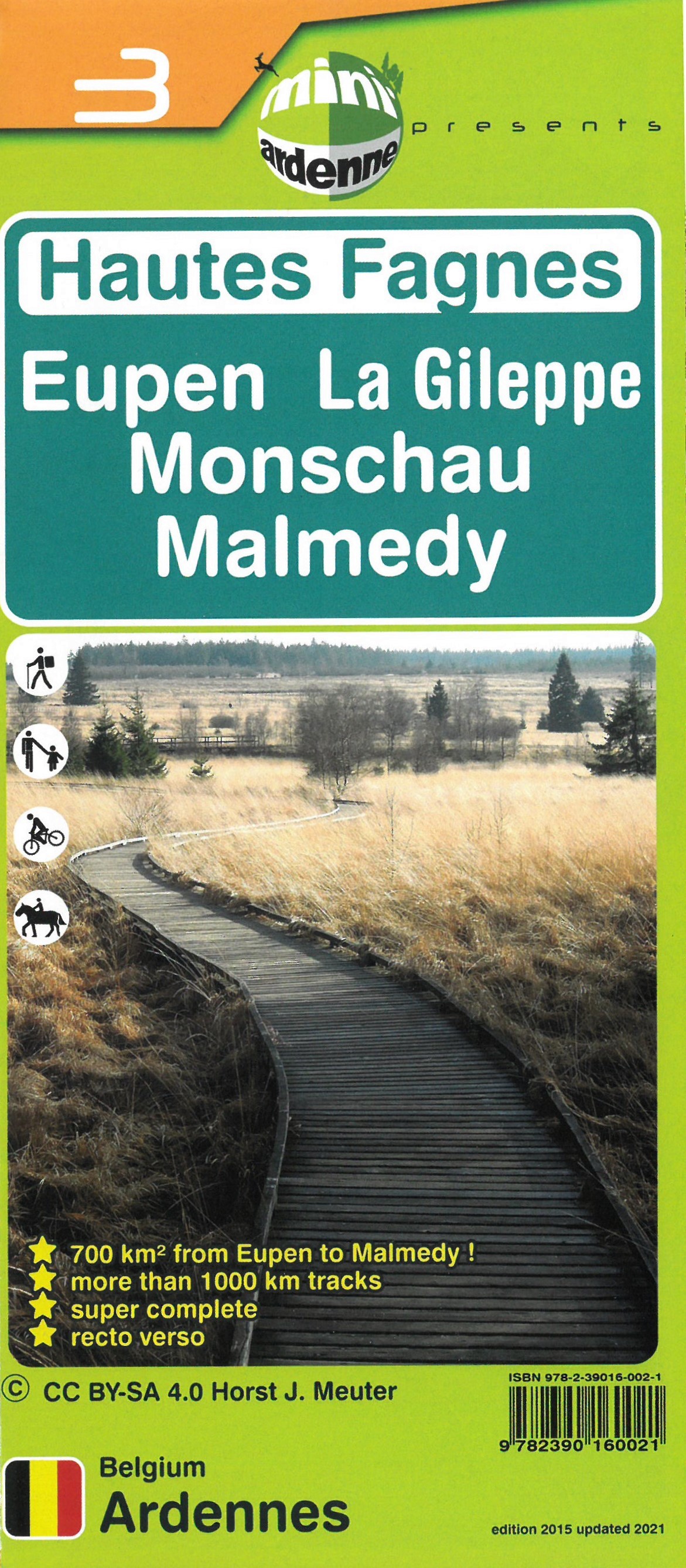
- Wandelkaart 03 Hautes Fagnes - Hoge Venen | Mini-Ardenne
- De wandelkaarten van Mini-Ardenne zijn volledig nieuw en op schaal 1/25000. De kaarten doen u belanden in een netwerk van honderden kilometers paden voor wandelaars, fietsers en ruiters. Door het gebruik van knooppunten (elk knooppunt is gelinkt aan een plaats), kunnen zowel de beginnende als de geoefende wandelaars de Ardennen en zijn... Read more
- Also available from:
- Stanfords, United Kingdom

Stanfords
United Kingdom
United Kingdom
- Haute Fagnes - Eupen - La Gileppe - Monschau - Malmedy Mini-Ardenne 3
- Ardennes Recreational Maps at a scale of 1:25,000 enable you to discover the Ardennes from junction to junction, each associated with a locality, through a network of hiking, cycling or riding paths.The network of mini walks consists of suggested routes with kilometre distance marked showing field boundaries and urbanised built up areas. ... Read more
De Zwerver
Netherlands
Netherlands
- Also available from:
- Stanfords, United Kingdom

Stanfords
United Kingdom
United Kingdom
- Spa NGI Topo 49/3-4
- Topographical survey of Belgium at 1:20,000 from Nationaal Geografisch Instituut / Institut Géographique National, the country’s national survey organization. Each 20K map covers one quarter of the corresponding 1:50,000 map (with adjustments in the border and coastal areas). The maps provide all the information expected of topographic mapping... Read more


De Zwerver
Netherlands
Netherlands
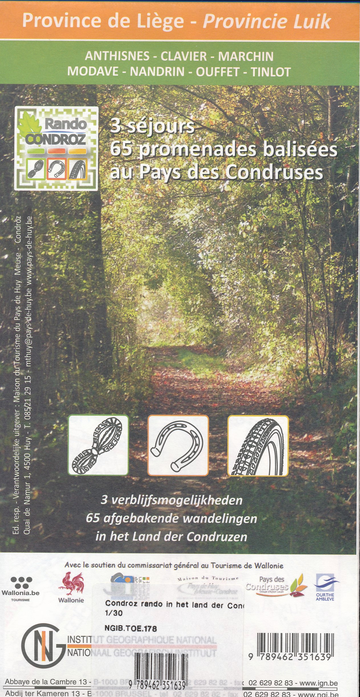
- Wandelkaart 178 Pays des Condruses - Land der Condruzen | NGI - Nationaal Geografisch Instituut
- Gedetailleerde wandelkaart van een bepaald gebied in de Belgische Ardennen. Veel ingetekende route en met symbolen worden alle toeristische aspecten weergegeven. Uitstekende kaart om vanuit een vast standplaats dagtochten te maken. 65 ingetekende wandelroutes Read more
De Zwerver
Netherlands
Netherlands