
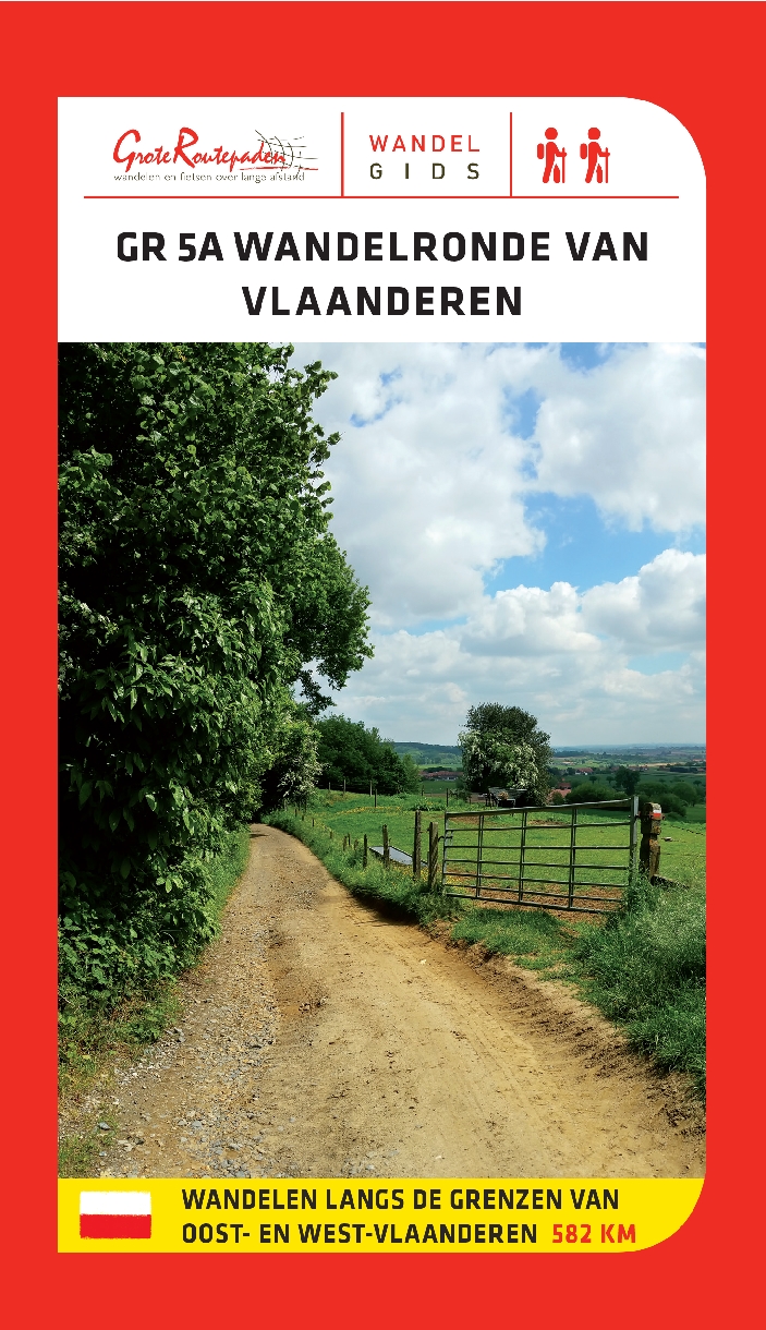
West-Vlaanderen
Beschrijving
Province in the western tip of Belgium.
Kaart

Paden in deze landsdeel
Links
Feiten
Verslagen
Gidsen en kaarten
Overnachting
Organisaties
Reisorganisaties
GPS
Anders
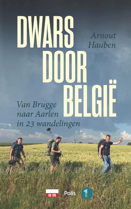
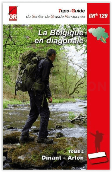
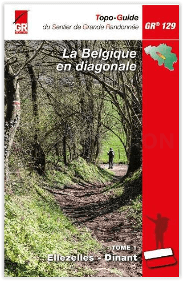
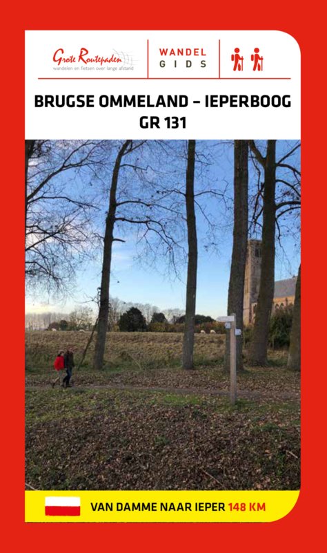
Boeken
De Zwerver
Netherlands
2023
Netherlands
2023
De Zwerver
Netherlands
2023
Netherlands
2023

De Zwerver
Netherlands
2017
Netherlands
2017
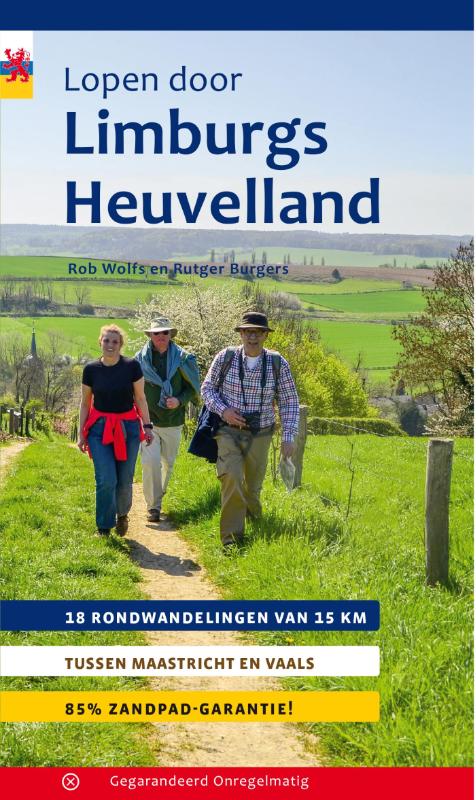
- Wandelgids Lopen door Limburgs Heuvelland | Gegarandeerd Onregelmatig
- 18 rondwandelingen van 15 km tussen Maastricht en Vaals Read more
De Zwerver
Netherlands
2014
Netherlands
2014
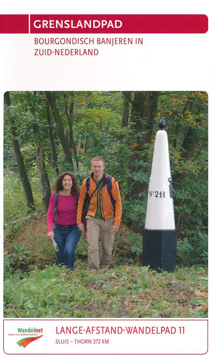
- Wandelgids 11 LAW Grenslandpad | Wandelnet
- Routegids met gedetailleerde topografische kaarten waar de route duidelijk op ingetekend is. Daarnaast alle noodzakelijke informatie als openbaar vervoer en overnachtingsadressen. Traject : Sluis-Thorn, lengte : 372 km Deze wandelgids van het Lange-Afstand-Wandelpad langs de grens met Belgie van Sluis naar Thorn (Zeeland, Noord-Brabant,... Read more
De Zwerver
Netherlands
2022
Netherlands
2022
De Zwerver
Netherlands
2012
Netherlands
2012
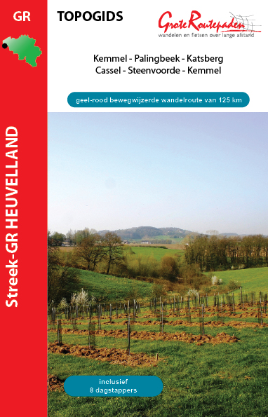
- Wandelgids Streek GR Heuvelland | Grote Routepaden
- 125 km bewegwijzerde wandelpaden op en rond de heuvels van de Westhoek vormt de geel-rode draad van deze topogids. Je ontdekt een uniek wandelgebied met authentieke dorpjes, panoramische vergezichten en ongestoorde natuurgebieden. De Streek-GR Heuvelland is doordrongen van panoramische hoogstandjes: Katsberg en Casselberg, Vidaigneberg,... Read more

De Zwerver
Netherlands
2023
Netherlands
2023
De Zwerver
Netherlands
Netherlands
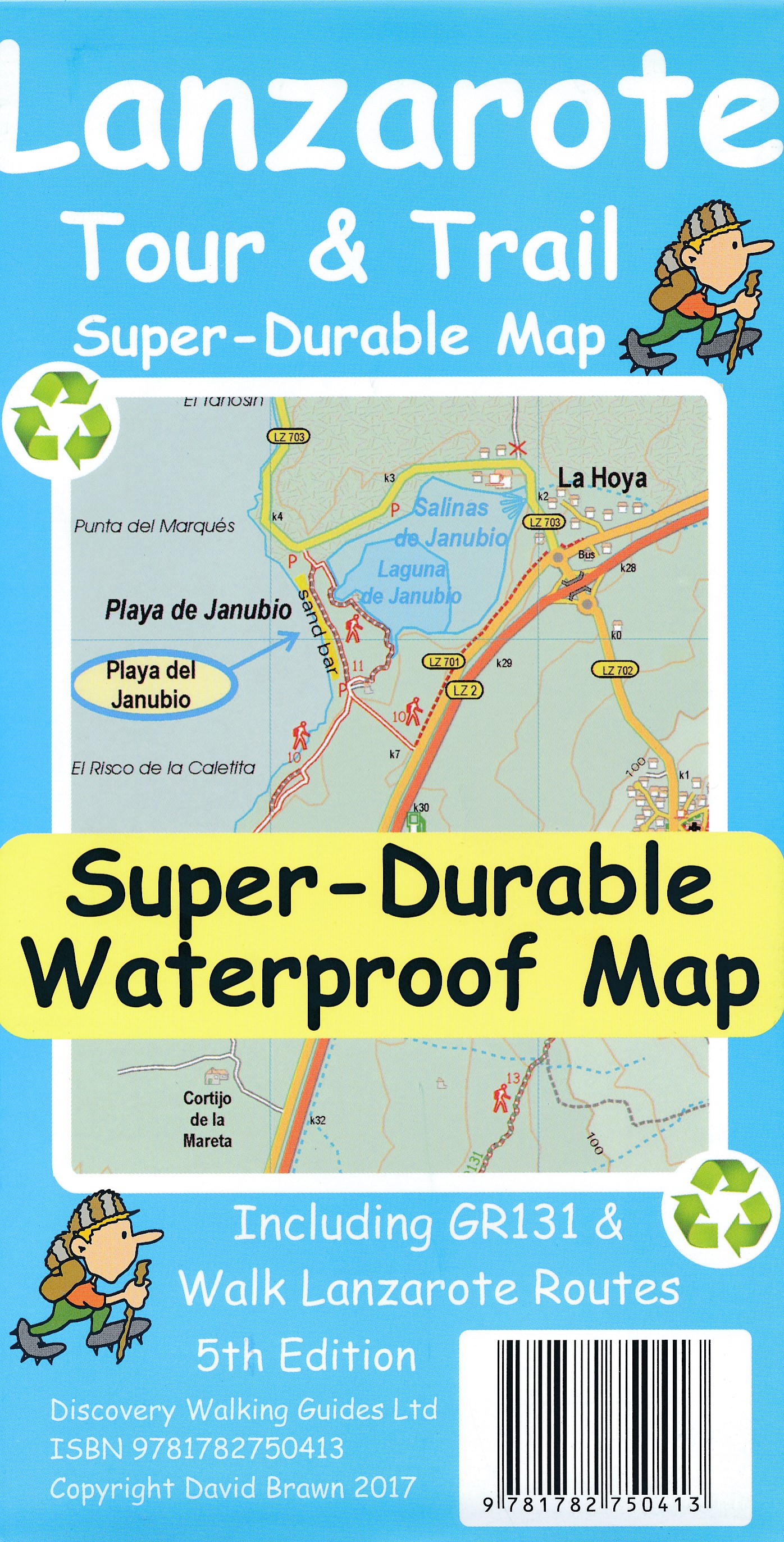
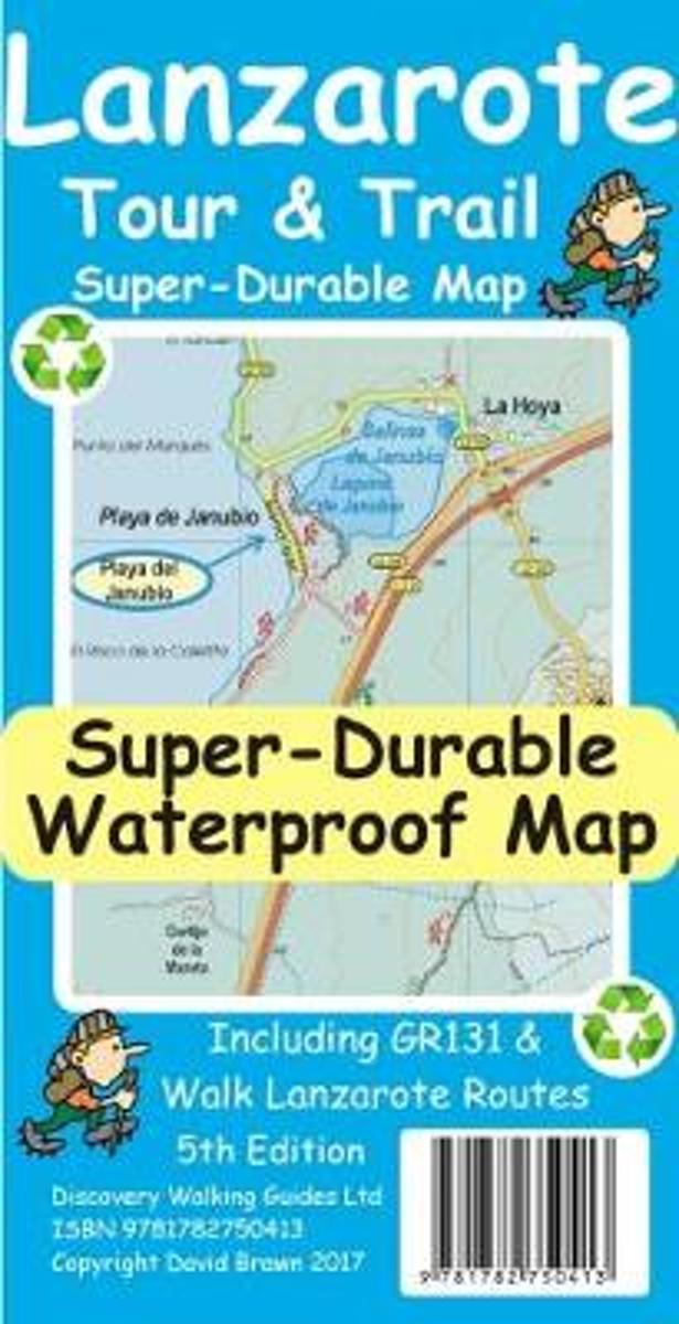
- Wandelkaart Tour & Trail Lanzarote | Discovery Walking Guides
- Travel & Languages Reference Maps & Road Atlases International Books Read more
- Also available from:
- Bol.com, Netherlands
- Bol.com, Belgium
- Stanfords, United Kingdom
Bol.com
Netherlands
Netherlands
- Lanzarote Tour & Trail Super-Durable Map
- This map is being replaced by a new 4th edition published on 9 May 2016 ISBN 9781782750277. Lanzarote Tour & Trail Map 3rd edition Super-Durable version covers this big island at a scale of 1:40,000 resulting in the most detailed and toughest map of Lanzarote that you can buy. All the country walking routes from our new 3rd edition of Walk!... Read more
Bol.com
Belgium
Belgium
- Lanzarote Tour & Trail Super-Durable Map
- This map is being replaced by a new 4th edition published on 9 May 2016 ISBN 9781782750277. Lanzarote Tour & Trail Map 3rd edition Super-Durable version covers this big island at a scale of 1:40,000 resulting in the most detailed and toughest map of Lanzarote that you can buy. All the country walking routes from our new 3rd edition of Walk!... Read more

Stanfords
United Kingdom
United Kingdom
- Lanzarote Tour & Trail Super-Durable Map
- Lanzarote Tour & Trail Super-Durable Map 5th edition covers this big island at a scale of 1:40,000 resulting in the most detailed and toughest map of Lanzarote that you can buy. Large 960mm by 700mm double sided map sheet with generous overlap, to reduce turning the map in use, folds to 235mm by 120mm pocket size using our special `concertina... Read more
Bol.com
Netherlands
Netherlands
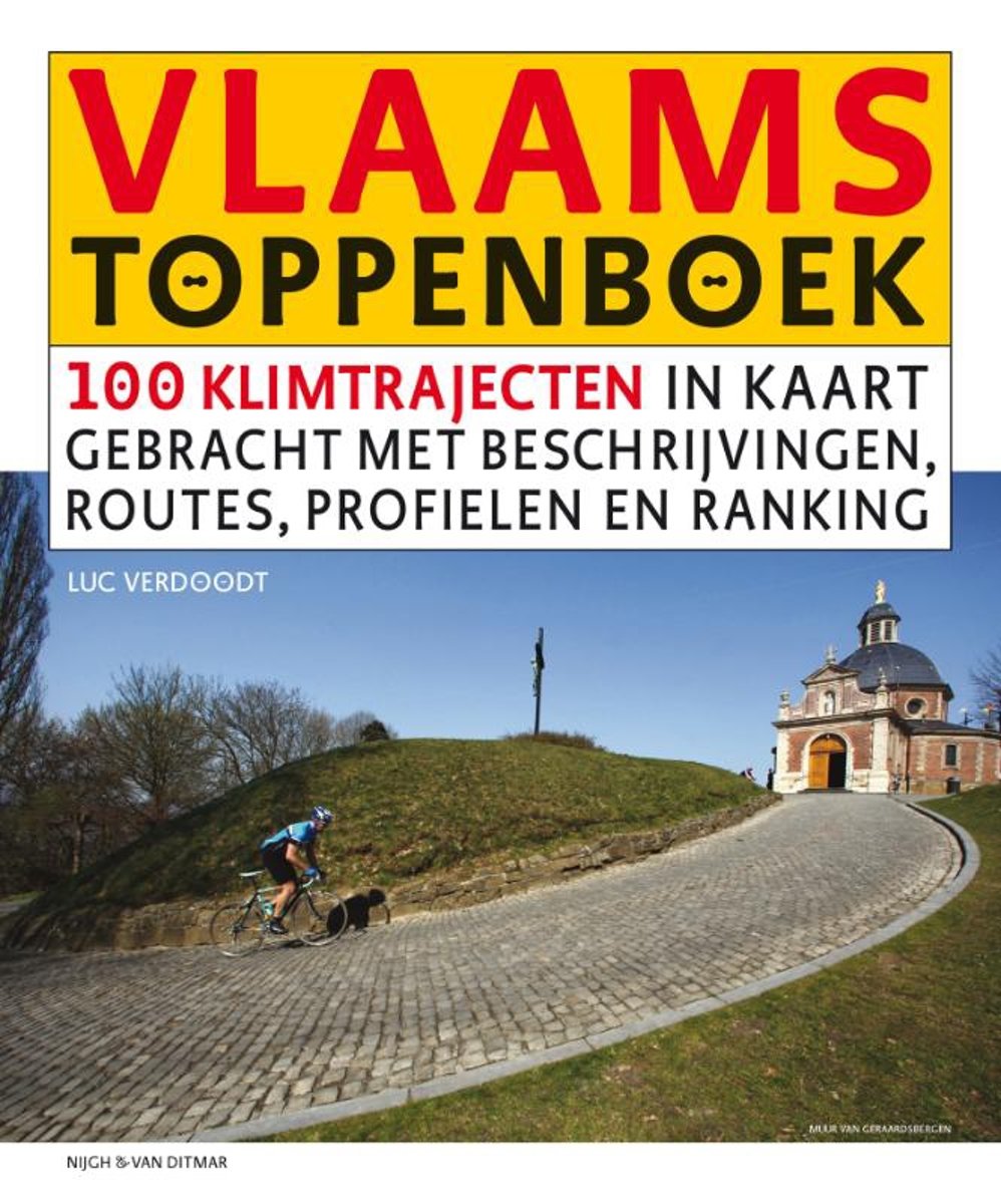
- Vlaams Toppenboek
- De Vlaamse Ardennen, het Hageland, Voeren, het West-Vlaamse Heuvelland... Vlaanderen mag dan het vlakke land heten, wielerfanaten kunnen toch op behoorlijk veel plekken al dan niet op het grote verzet een 'berg' beklimmen en bedwingen.In het Vlaams Toppenboek wordt een ranking gemaakt van 100 bekende en minder bekende heuvels, hellingen, toppen... Read more
- Also available from:
- Bol.com, Belgium
Bol.com
Belgium
Belgium
- Vlaams Toppenboek
- De Vlaamse Ardennen, het Hageland, Voeren, het West-Vlaamse Heuvelland... Vlaanderen mag dan het vlakke land heten, wielerfanaten kunnen toch op behoorlijk veel plekken al dan niet op het grote verzet een 'berg' beklimmen en bedwingen.In het Vlaams Toppenboek wordt een ranking gemaakt van 100 bekende en minder bekende heuvels, hellingen, toppen... Read more
Kaarten
De Zwerver
Netherlands
Netherlands
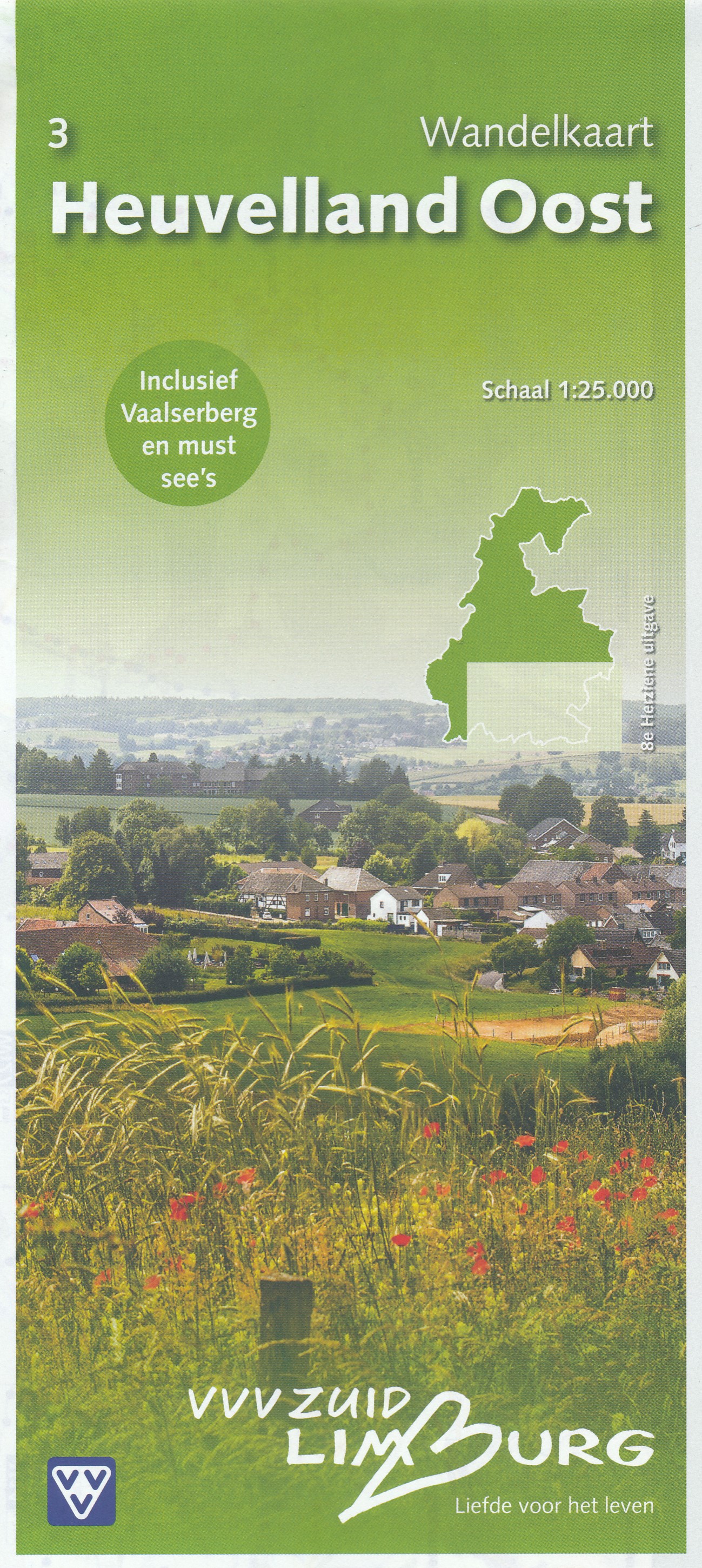
- Wandelkaart - Topografische kaart 3 Heuvelland Oost | VVV Zuid Limburg
- Wandelkaart 3 Heuvelland Oost heeft een schaal van 1: 25.000 en heeft een topografische ondergrond. De wandelingen, die via gekleurde paaltjes route gaat, zijn gelegen in de Gemeenten Gulpen-Wittem, Simpelveld en Vaals. Tevens zijn er ook wandelingen in delen van de gemeenten Heerlen, Kerkrade, Landgraaf en Nuth. Voor de echte wandel... Read more
De Zwerver
Netherlands
Netherlands
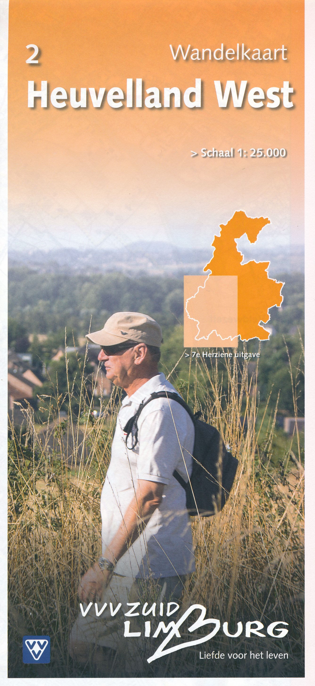
- Wandelkaart - Topografische kaart 2 Heuvelland West | VVV Zuid Limburg
- Wandelkaart 2 Heuvelland West heeft een schaal van 1: 25.000 en heeft een topografische ondergrond. De wandelingen, die via gekleurde paaltjesroute gaat, zijn gelegen in de Gemeenten Beek, Eijsden, Maastricht, Margraten, Meerssen en Valkenburg. Op deze kaart zijn ook delen van de gemeenten Gulpen-Wittem en Nuth opgenomen. Voor de echte wandel... Read more
De Zwerver
Netherlands
Netherlands
De Zwerver
Netherlands
Netherlands
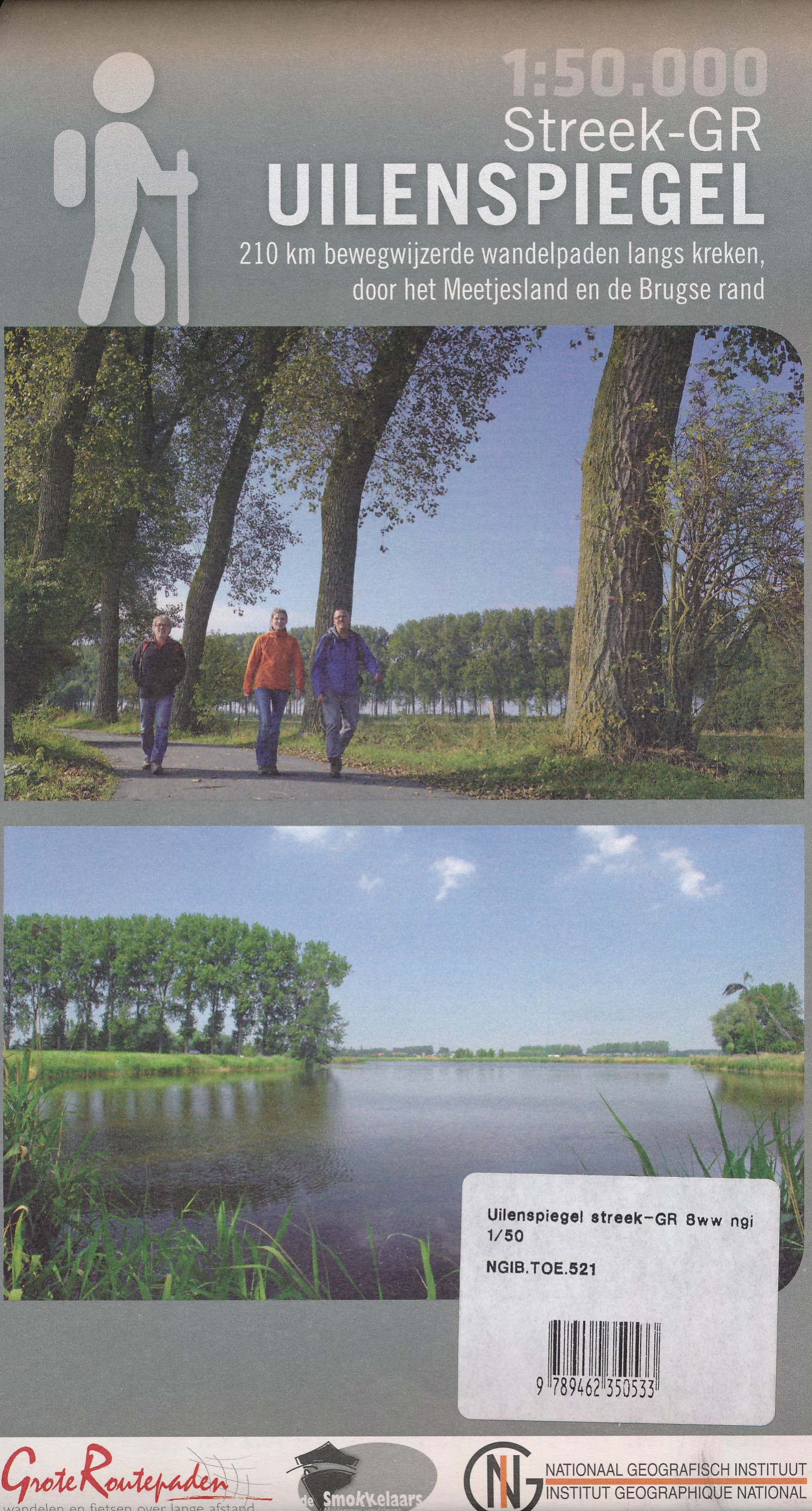
- Wandelkaart 521 Streek GR Uilenspiegel GR 8 | NGI - Nationaal Geografisch Instituut
- Omvat: de gemeentes Damme, Het Zwin, Sluis, Oostburg en Terneuzen, Meetjesland, de Lembeekse bossen, provinciaal domein Het Leen & het Drongengoedbos Productomschrijving: Het Nationaal Geografisch Instituut publiceert ook toeristische kaarten, in samenwerking met lokale overheden, VVV-kantoren en andere verenigingen. Deze kaarten zijn ontworpen... Read more

De Zwerver
Netherlands
Netherlands
- Wandelkaart - Fietskaart Insel Rügen | Verlag Dr. Barthel
- Frei von Werbeanzeigen. reißfest, wetterfest durch Beschichtung mit hochwertiger nicht spiegelnder Folie, mit ausgewählten Straßennamen zur besseren Orientierung, farbig hervorgehobenen Ausflugszielen, Sehenswürdigkeiten der Umgebung in Text und Bild und alle regionalen und überregionalen Wander- und Radwanderwege sowie ausgewiesene... Read more

Bol.com
Netherlands
Netherlands
- Lanzarote WK241
- Toeristische kaart voor wandelen, fietsen en vrije tijd met activiteitengids en stadsplattegronden • goed leesbare schaal van 1:50 000 • te gebruiken met GPS • met praktische informatie over de regio • wandel- en fietspaden • aanbevolen routes • kastelen • uitzichtpunten • stranden en baaien • toeristische informatie • veel topografische... Read more
- Also available from:
- Bol.com, Belgium
Bol.com
Belgium
Belgium
- Lanzarote WK241
- Toeristische kaart voor wandelen, fietsen en vrije tijd met activiteitengids en stadsplattegronden • goed leesbare schaal van 1:50 000 • te gebruiken met GPS • met praktische informatie over de regio • wandel- en fietspaden • aanbevolen routes • kastelen • uitzichtpunten • stranden en baaien • toeristische informatie • veel topografische... Read more

Bol.com
Netherlands
Netherlands
- Tenerife Hikers Maps
- Our latest hiking research on Tenerife has resulted in new editions of Walk! Tenerife and Tenerife Hikers' Super-Durable Maps being published in 2017. Thanks to Jan Kostura's 2016 research we have several new hiking adventures described in detail in Walk! Tenerife. Jan's gps records of his research for new routes and updating of current routes... Read more
- Also available from:
- Bol.com, Belgium
Bol.com
Belgium
Belgium
- Tenerife Hikers Maps
- Our latest hiking research on Tenerife has resulted in new editions of Walk! Tenerife and Tenerife Hikers' Super-Durable Maps being published in 2017. Thanks to Jan Kostura's 2016 research we have several new hiking adventures described in detail in Walk! Tenerife. Jan's gps records of his research for new routes and updating of current routes... Read more

De Zwerver
Netherlands
Netherlands
- Wandelkaart WKE2 La Palma | Freytag & Berndt
- Uitstekende wandelkaart van La Palma, tweezijdig, met ingetekende routes, hoogtelijnen en andere belangrijke informatie. Ook met fietsroutes, bovendien GPS geschikt! Read more
- Also available from:
- Bol.com, Netherlands
- Bol.com, Belgium
- The Book Depository, United Kingdom

Bol.com
Netherlands
Netherlands
- FB WKE2 La Palma
- Dubbelzijdige wandel- en vrijetijdskaart • toeristische tips • stadsplattegronden • fietspaden en mountainbikeroutes • GPS-punten • ski- en langlaufroutes Read more
Bol.com
Belgium
Belgium
- FB WKE2 La Palma
- Dubbelzijdige wandel- en vrijetijdskaart • toeristische tips • stadsplattegronden • fietspaden en mountainbikeroutes • GPS-punten • ski- en langlaufroutes Read more

The Book Depository
United Kingdom
United Kingdom
- La Palma Hiking + Leisure Map 1:30 000
- Uitstekende wandelkaart van La Palma, tweezijdig, met ingetekende routes, hoogtelijnen en andere belangrijke informatie. Ook met fietsroutes, bovendien GPS geschikt! Read more

Stanfords
United Kingdom
United Kingdom
- Ardennes Falkplan Cycling Map 37
- Brussels region and the eastern part of the Flemish Brabant province of Belgium at 1:50,000 in a series from Falk B.V. showing the network of signposted cycling routes on large, double-sided indexed maps with prominent highlighting of long-distance LF routes, symbols indicating accommodation and other tourist services, plus in each title two or... Read more

Stanfords
United Kingdom
United Kingdom
- West Flanders Province
- West Flanders Province on a double-sided map at 1:100,000 in a series of GPS compatible topographic maps from the Nationaal Geografisch Instituut/Institut Géographique National, Belgium`s national survey organization, each with a separate index booklet covering the whole country.Described by the publishers as a topographic series, the maps do... Read more
De Zwerver
Netherlands
Netherlands
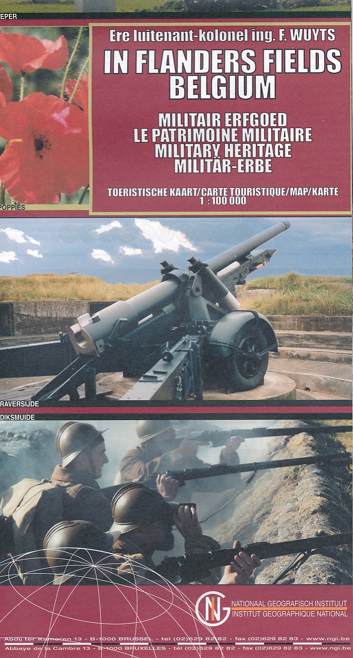
- Historische Kaart Militair Erfgoed - In Flanders fields Belgium | NGI - Nationaal Geografisch Instituut
- The Western Front in Flanders on a detailed map at 1:100,000 from the Belgian Nationaal Geografisch Instituut highlighting locations of numerous monuments, cemeteries, front lines and other WWI-related sites, listed in the accompanying panels with, where appropriate, their phone numbers. The map is double-sided but all the main WWI battlefields... Read more
- Also available from:
- Stanfords, United Kingdom

Stanfords
United Kingdom
United Kingdom
- Belgium: In Flanders Fields
- The Western Front in Flanders on a detailed map at 1:100,000 from the Belgian Nationaal Geografisch Instituut highlighting locations of numerous monuments, cemeteries, front lines and other WWI-related sites, listed in the accompanying panels with, where appropriate, their phone numbers. The map is double-sided but all the main WWI battlefields... Read more
De Zwerver
Netherlands
Netherlands
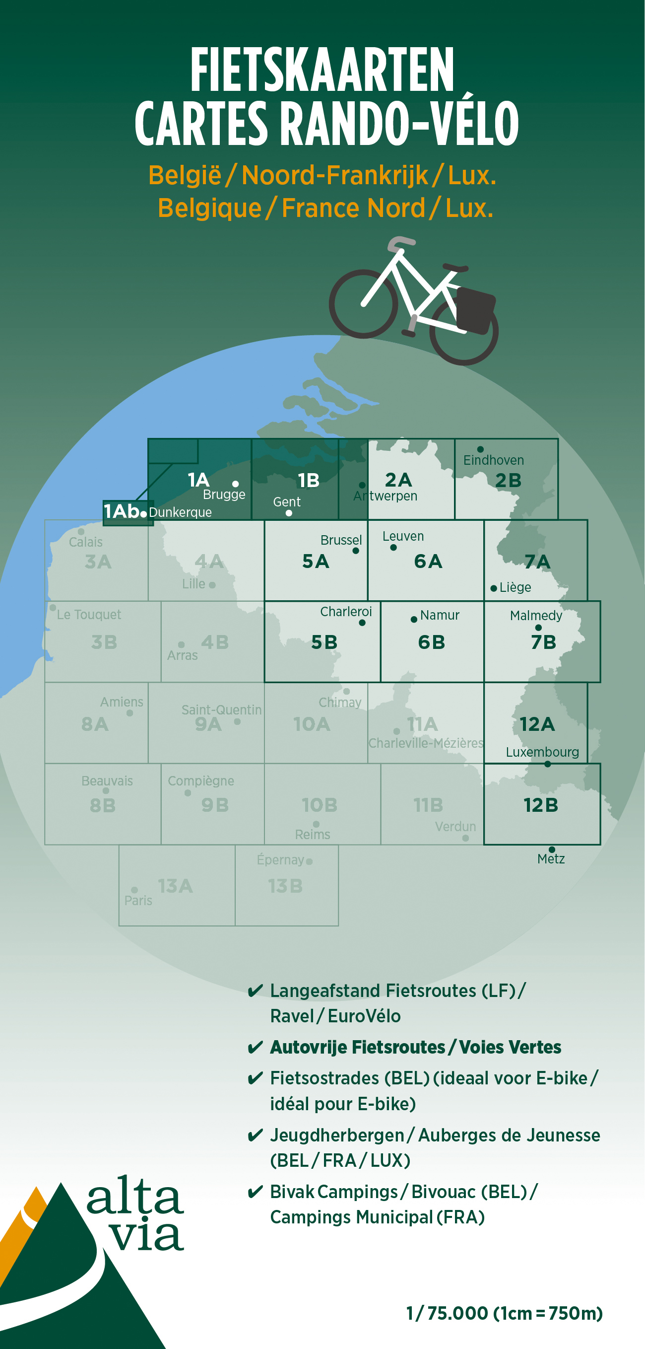
- Fietskaart 1 Oost & West Vlaanderen | Alta Via
- Alta Via`s topographical cycling maps emphasize car-free cycling routes or the so-called Voies Vertes (Green Routes), a cycling network that runs through Belgium and Luxembourg. All LF and Ravel cycle routes are included, supplemented with old railways and towpaths that have been transformed into bike paths. The map also lists all youth... Read more
- Also available from:
- Stanfords, United Kingdom

Stanfords
United Kingdom
United Kingdom
- East and West Flanders Cycling Map 1
- Alta Via`s topographical cycling maps emphasize car-free cycling routes or the so-called Voies Vertes (Green Routes), a cycling network that runs through Belgium and Luxembourg. All LF and Ravel cycle routes are included, supplemented with old railways and towpaths that have been transformed into bike paths. The map also lists all youth... Read more
De Zwerver
Netherlands
Netherlands
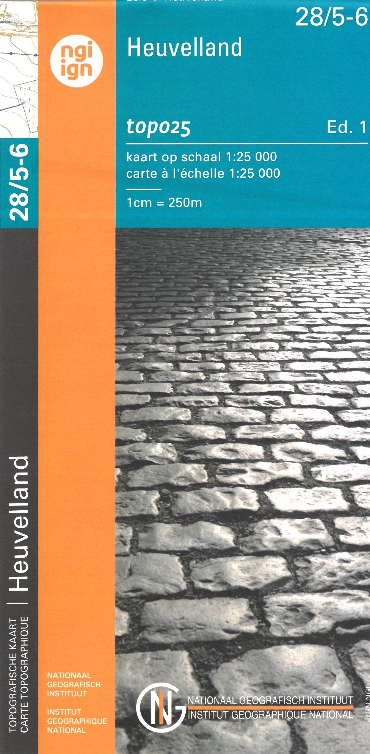
- Wandelkaart - Topografische kaart 28/5-6 Topo25 Heuvelland | NGI - Nationaal Geografisch Instituut
- Zeer gedetailleerde topografische kaart van een deel van Belgie. Deze kaart is bijzonder geschikt voor wandeltochten, bijvoorbeeld in het heuvelachtige gebied van de Ardennen. Wel moet u bedenken dat op deze kaarten wandelroutes als zodanig niet staan ingetekend. Voorzien van alle topografische details als hoogtelijnen, waterlopen, bosgebieden,... Read more
- Also available from:
- Stanfords, United Kingdom

Stanfords
United Kingdom
United Kingdom
- Heuvelland NGI Topo 28/5-6 - WWI Ypres Salient Battlefields
- Heuvelland - Mesen (Messines), map No. 28/5-6 in the topographic survey of Belgium at 1:20,000 covering the World War I battlefields area between St-Elooi and Ploegsteert, including Wijtschate. Please note that areas on the French side of the border, around Bailleul and St-Jans-Cappel in the west and across the Lys in the south-eastern corner,... Read more