
Auvergne
Beschrijving

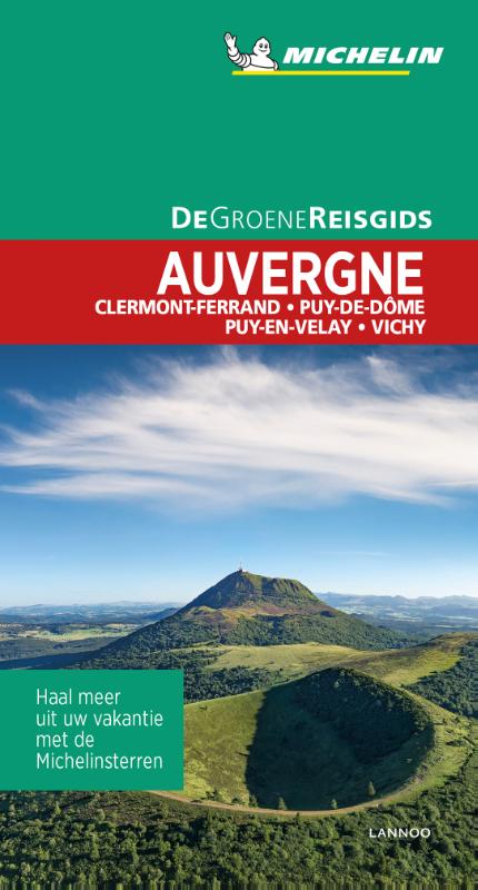
The Auvergne is a extensive region, comprising the Massif Central. Quiet and rural, it has many attractions for the hiker. Well known are the volcanic areas south of Clermont-Ferrand. Though not fuming any more, the volcanic shapes are very well recognisable.
Kaart

Paden in deze regio
Links
Feiten
Verslagen
Gidsen en kaarten
Overnachting
Organisaties
Reisorganisaties
GPS
Anders
Boeken
De Zwerver
Netherlands
2020
Netherlands
2020

De Zwerver
Netherlands
2022
Netherlands
2022
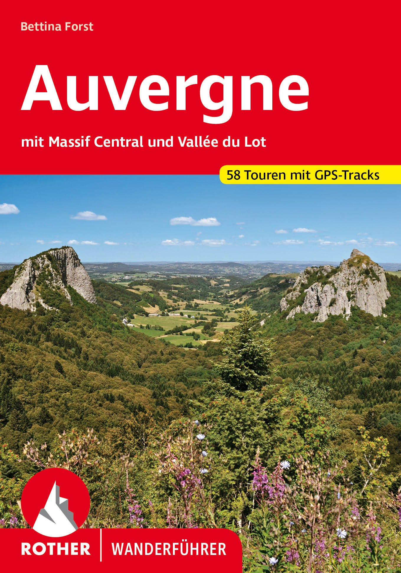
- Wandelgids 246 Auvergne en Massif Central - Vallée du Lot | Rother Bergverlag
- Uitstekende wandelgids met een groot aantal dagtochten in dal en hooggebergte. Met praktische informatie en beperkt kaartmateriaal! Wandelingen in verschillende zwaarte weergegeven in rood/blauw/zwart. Die Auvergne mit dem Massif Central bildet das wilde, grüne Herz Frankreichs. Abseits von Touristenströmen und Autorouten konnte diese... Read more
De Zwerver
Netherlands
2023
Netherlands
2023
De Zwerver
Netherlands
2021
Netherlands
2021
De Zwerver
Netherlands
2017
Netherlands
2017
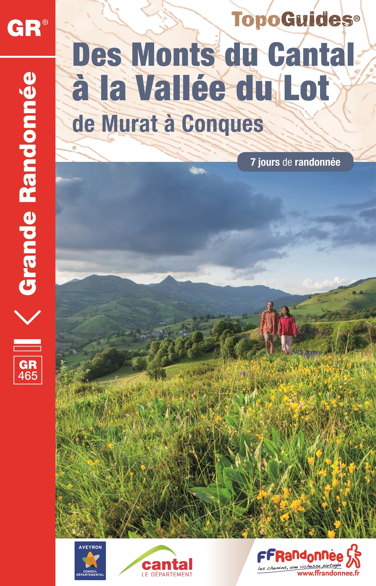
- Wandelgids 465 Des Monts du Cantal à la vallée du Lot GR465 | FFRP
- Uitstekende wandelgids met gedetailleerde kaarten en een routebeschrijving. Fout lopen wordt op deze manier wel erg moeilijk. Met symbolen is weergegeven welke voorzieningen (openbaar vervoer / winkels / overnachtingen) er zijn langs of bij de route. Een nadeel is dat de daadwerkelijke adressen dan weer niet altijd genoemd worden. Alle gidsen... Read more
De Zwerver
Netherlands
Netherlands
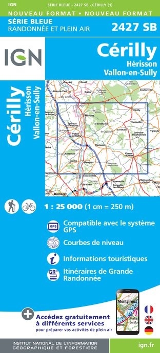
- Topografische kaart - Wandelkaart 2427SB Cérilly | IGN - Institut Géographique National
- L'indispensable carte de randonnée IGN. A conserver dans son sac à dos Read more
- Also available from:
- Stanfords, United Kingdom

Stanfords
United Kingdom
United Kingdom
- Cerilly - Herisson - Vallon-en-Sully IGN 2427SB
- L'indispensable carte de randonnée IGN. A conserver dans son sac à dos Read more
De Zwerver
Netherlands
Netherlands
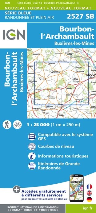
- Topografische kaart - Wandelkaart 2527SB Bourbon-l'Archambault | IGN - Institut Géographique National
- L'indispensable carte de randonnée IGN aux alentours de Bourbon-l'Archambault / Buxières-les-Mines. A conserver dans son sac à dos Read more
- Also available from:
- Stanfords, United Kingdom

Stanfords
United Kingdom
United Kingdom
- Bourbon-l`Archambault - Buxieres-les-Mines IGN 2527SB
- L'indispensable carte de randonnée IGN aux alentours de Bourbon-l'Archambault / Buxières-les-Mines. A conserver dans son sac à dos Read more
Bol.com
Netherlands
Netherlands
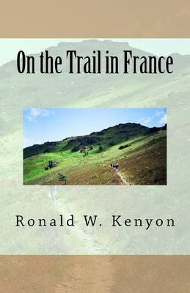
- On the Trail in France
- Many tourists who visit Paris wish they could discover the real France, the hidden France they have read about in novels and seen in paintings at museums. They would like to visit charming villages, meet real French people and savor traditional French cuisine. But how to do it? And, for that matter, does this authentic France still exist?That... Read more
- Also available from:
- Bol.com, Belgium
Bol.com
Belgium
Belgium
- On the Trail in France
- Many tourists who visit Paris wish they could discover the real France, the hidden France they have read about in novels and seen in paintings at museums. They would like to visit charming villages, meet real French people and savor traditional French cuisine. But how to do it? And, for that matter, does this authentic France still exist?That... Read more
De Zwerver
Netherlands
2020
Netherlands
2020
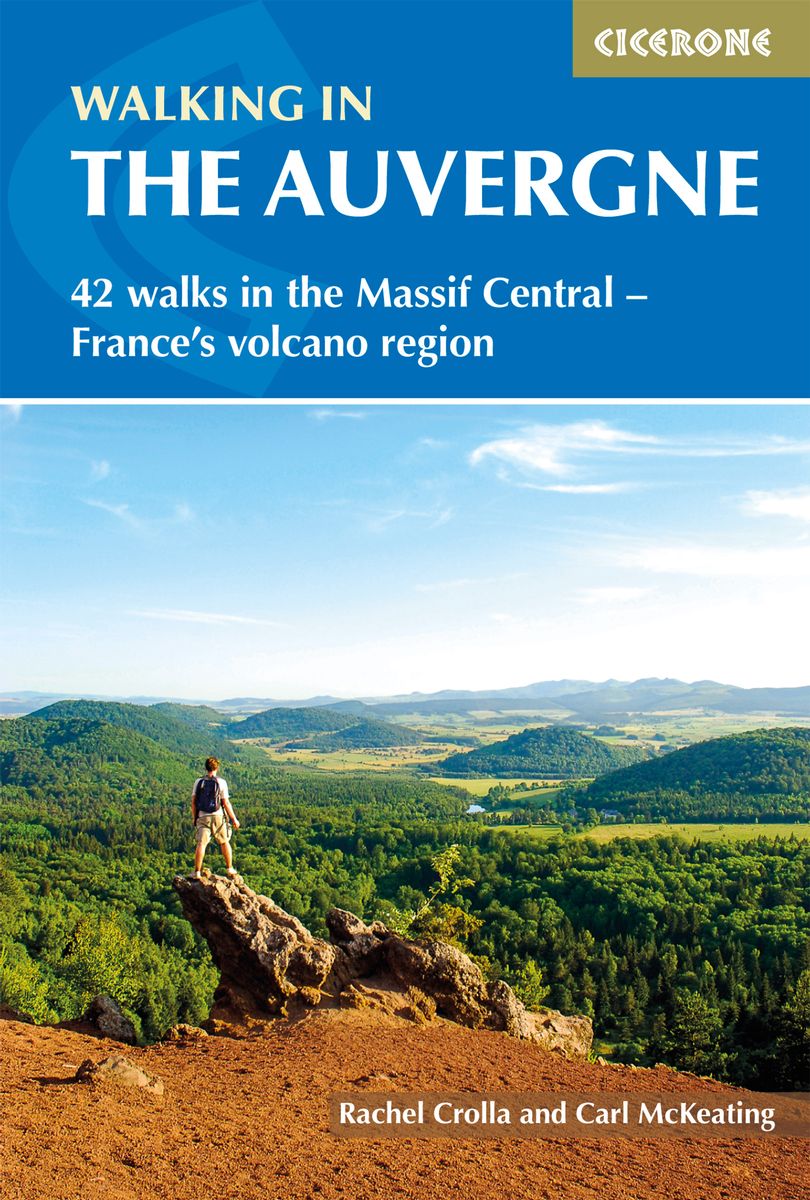
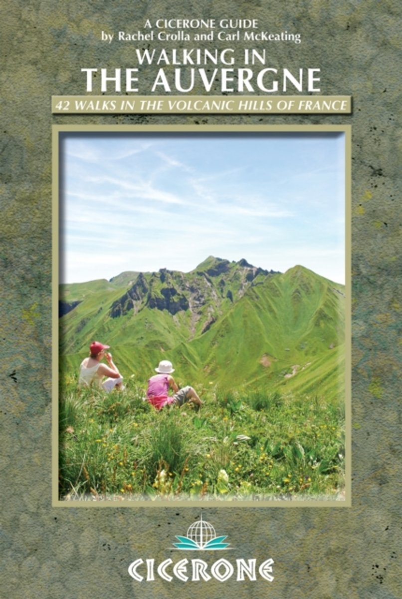
- Wandelgids Walking in the Auvergne | Cicerone
- Guidebook to the Auvergne describing 42 walks between 5 and 20km in the quiet volcanic hills of central France. Five areas are covered: Cantal, Chaine des Puys, Mont Dores, Haute-Loire and Montagne Bourbonnaise. The volcanic geography provides a stunning backdrop to routes suitable for all walkers. Bases in Vichy, Clermont-Ferrand and Puy-en-Velay. Read more
- Also available from:
- Bol.com, Netherlands
- Bol.com, Belgium
- Stanfords, United Kingdom
- The Book Depository, United Kingdom
Bol.com
Netherlands
2013
Netherlands
2013
- Walking in the Auvergne
- This walking guidebook describes 42 day routes exploring the stunning Auvergne region in central France. The walks are ideal for day walkers and hikers, with routes ranging from easy 5km outings to more challenging 20km hikes. All are illustrated with clear mapping and colour photographs. The guide focuses on the best routes in five different... Read more
Bol.com
Belgium
2013
Belgium
2013
- Walking in the Auvergne
- This walking guidebook describes 42 day routes exploring the stunning Auvergne region in central France. The walks are ideal for day walkers and hikers, with routes ranging from easy 5km outings to more challenging 20km hikes. All are illustrated with clear mapping and colour photographs. The guide focuses on the best routes in five different... Read more

Stanfords
United Kingdom
2013
United Kingdom
2013
- Auvergne Walking Guide
- Rachel Crolla and Carl McKeating’s Cicerone guide to Walking in the Auvergne illustrates 42 walks in the volcanic hills of France covering the Puy de Dôme, Cantal and Haute-Loire regions and featuring detailed instructions, clear sketch maps and colour photographs.The book covers the area from Vichy in the north to Le Puy-en-Velay in the... Read more

The Book Depository
United Kingdom
2013
United Kingdom
2013
- Walking in the Auvergne
- 42 Walks in the Massif Central - France's volcano region Read more
Bol.com
Netherlands
Netherlands
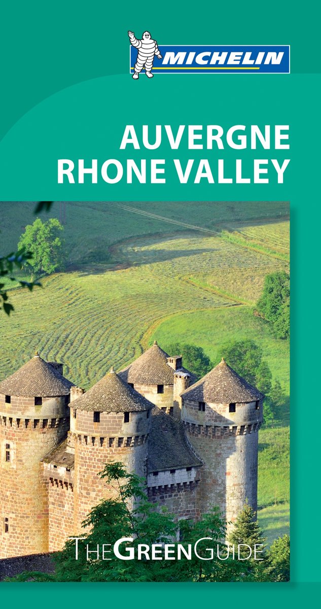
- Green Guide Auvergne/Rhone Valley
- The updated Green Guide Auvergne Rhone Valley presents this centrally located French region, full of stunning vistas, ancient and picturesque castles, churches and villages, outdoor activities, and tasty culinary specialties. Enjoy a Beaujolais vineyard driving tour, take a nighttime walk along Lyon's twinkling streets, zip down Super-Besse's... Read more
- Also available from:
- Bol.com, Belgium
Bol.com
Belgium
Belgium
- Green Guide Auvergne/Rhone Valley
- The updated Green Guide Auvergne Rhone Valley presents this centrally located French region, full of stunning vistas, ancient and picturesque castles, churches and villages, outdoor activities, and tasty culinary specialties. Enjoy a Beaujolais vineyard driving tour, take a nighttime walk along Lyon's twinkling streets, zip down Super-Besse's... Read more
Kaarten
De Zwerver
Netherlands
Netherlands
- Also available from:
- Stanfords, United Kingdom

Stanfords
United Kingdom
United Kingdom
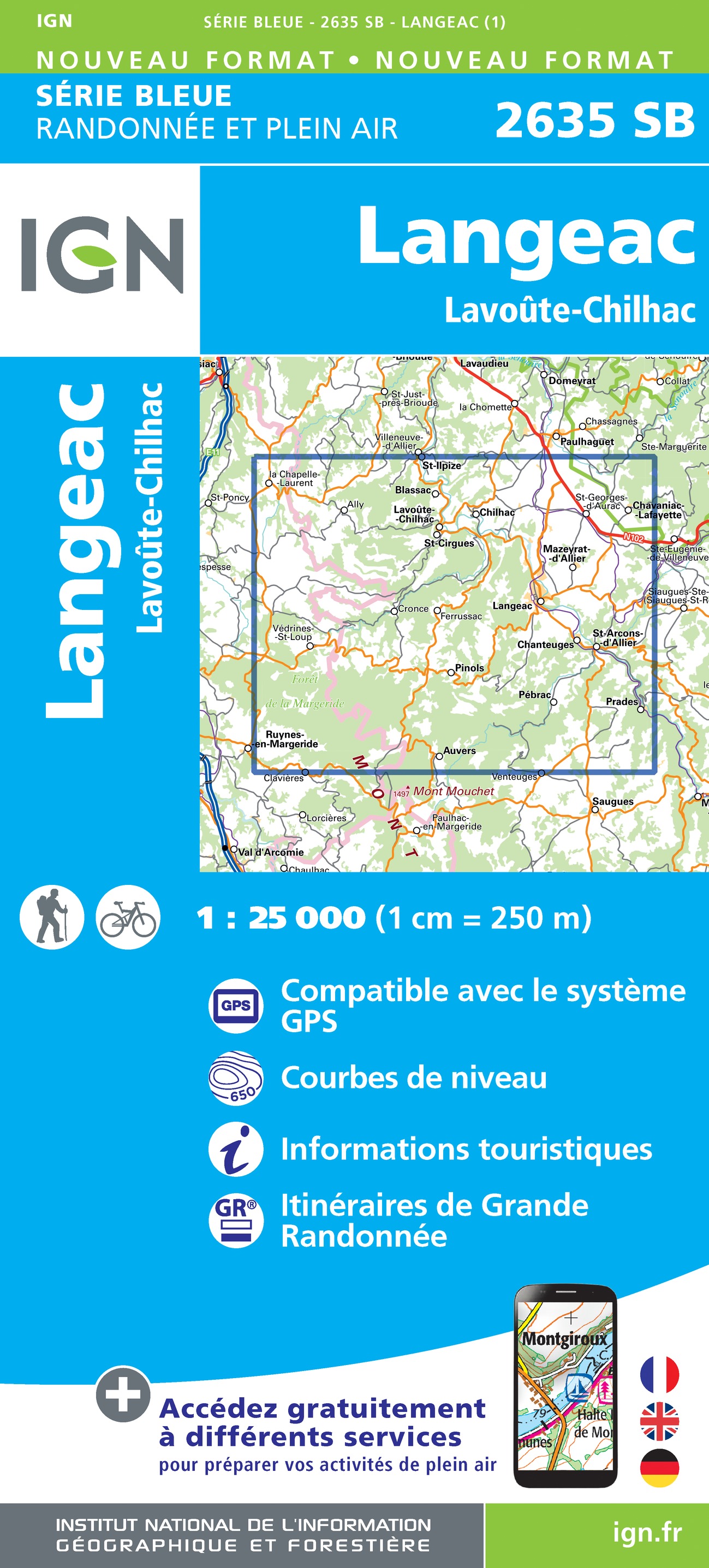
- Langeac - Lavoute-Chilhac IGN 2635SB
- Topographic survey of France at 1:25,000 in IGN`s excellent TOP25 / Série Bleue series. All the maps are GPS compatible, with a 1km UTM grid plus latitude and longitude lines at 5’ intervals. Contours are at 5m intervals except for mountainous areas where the maps have contours at 10m intervals, vividly enhanced by hill shading and graphics for... Read more
De Zwerver
Netherlands
Netherlands
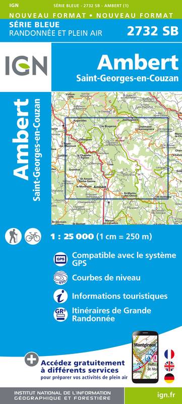
- Wandelkaart - Topografische kaart 2732SB Ambert | IGN - Institut Géographique National
- Topographic survey of France at 1:25,000 in IGN`s excellent TOP25 / Série Bleue series. All the maps are GPS compatible, with a 1km UTM grid plus latitude and longitude lines at 5’ intervals. Contours are at 5m intervals except for mountainous areas where the maps have contours at 10m intervals, vividly enhanced by hill shading and graphics for... Read more
- Also available from:
- Stanfords, United Kingdom

Stanfords
United Kingdom
United Kingdom
- Ambert - Saint-Georges-en-Couzan - Pierre-sur-Haute IGN 2732SB
- Topographic survey of France at 1:25,000 in IGN`s excellent TOP25 / Série Bleue series. All the maps are GPS compatible, with a 1km UTM grid plus latitude and longitude lines at 5’ intervals. Contours are at 5m intervals except for mountainous areas where the maps have contours at 10m intervals, vividly enhanced by hill shading and graphics for... Read more
De Zwerver
Netherlands
Netherlands
De Zwerver
Netherlands
Netherlands
- Also available from:
- Stanfords, United Kingdom

Stanfords
United Kingdom
United Kingdom
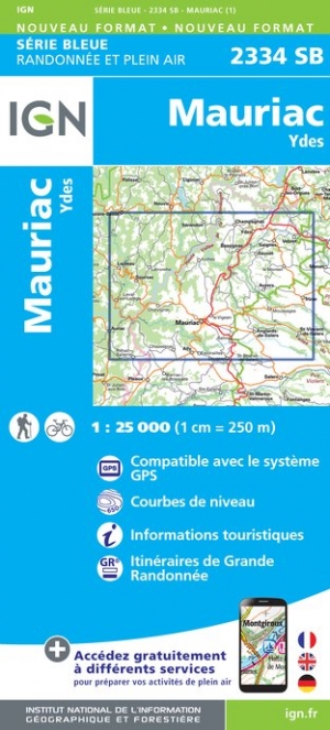
- Mauriac - Ydes IGN 2334SB
- Topographic survey of France at 1:25,000 in IGN`s excellent TOP25 / Série Bleue series. All the maps are GPS compatible, with a 1km UTM grid plus latitude and longitude lines at 5’ intervals. Contours are at 5m intervals except for mountainous areas where the maps have contours at 10m intervals, vividly enhanced by hill shading and graphics for... Read more
De Zwerver
Netherlands
Netherlands
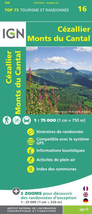
- Wandelkaart - Fietskaart 16 Cézallier - Monts du Cantal | IGN - Institut Géographique National
- Une carte générale de très grande lisibilité au 1/75 000 + 5 extraits de TOP25 au 1/25 000 en une seule carte ! Read more
- Also available from:
- Stanfords, United Kingdom

Stanfords
United Kingdom
United Kingdom
- Cézallier - Monts du Cantal IGN 75016
- Cézallier - Monts du Cantal region in a series of GPS compatible, contoured TOP 75 maps at 1:75,000 from the IGN, highlighting local and long-distance hiking paths, cycling routes and sites for other recreational activities. The map includes five large panels showing the areas around Lac de Lastioulles, Col de Néronne, la Godivelle, Puy Mary,... Read more
De Zwerver
Netherlands
Netherlands
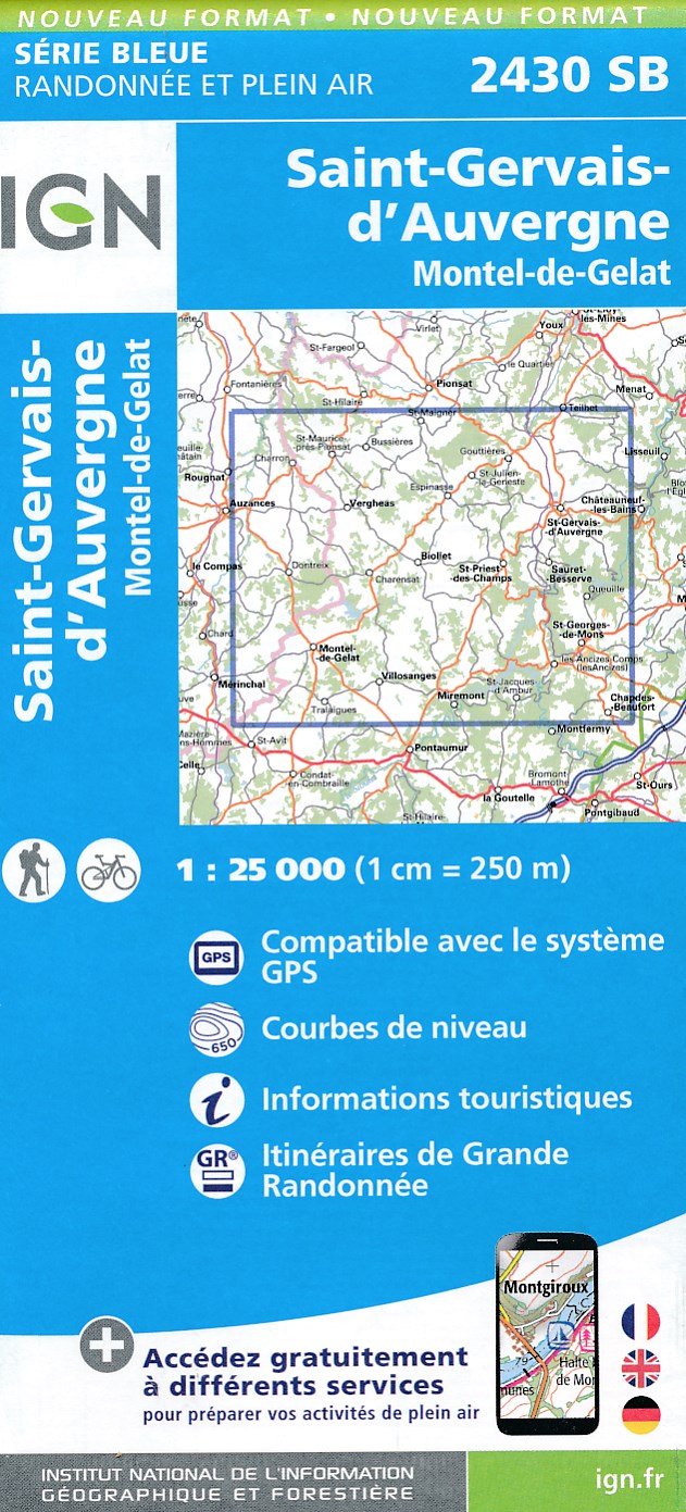
- Wandelkaart - Topografische kaart 2430SB Saint-Gervais d'Auvergne | IGN - Institut Géographique National
- Topographic survey of France at 1:25,000 in IGN`s excellent TOP25 / Série Bleue series. All the maps are GPS compatible, with a 1km UTM grid plus latitude and longitude lines at 5’ intervals. Contours are at 5m intervals except for mountainous areas where the maps have contours at 10m intervals, vividly enhanced by hill shading and graphics for... Read more
- Also available from:
- Stanfords, United Kingdom

Stanfords
United Kingdom
United Kingdom
- Saint-Gervais-d`Auvergne IGN Map 2430SB
- Topographic survey of France at 1:25,000 in IGN`s excellent TOP25 / Série Bleue series. All the maps are GPS compatible, with a 1km UTM grid plus latitude and longitude lines at 5’ intervals. Contours are at 5m intervals except for mountainous areas where the maps have contours at 10m intervals, vividly enhanced by hill shading and graphics for... Read more
De Zwerver
Netherlands
Netherlands
De Zwerver
Netherlands
Netherlands
- Also available from:
- Stanfords, United Kingdom

Stanfords
United Kingdom
United Kingdom
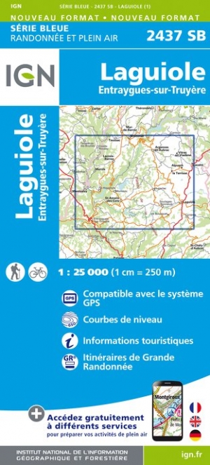
- Laguiole - Entraygues-sur-Truyere IGN 2437SB
- Topographic survey of France at 1:25,000 in IGN`s excellent TOP25 / Série Bleue series. All the maps are GPS compatible, with a 1km UTM grid plus latitude and longitude lines at 5’ intervals. Contours are at 5m intervals except for mountainous areas where the maps have contours at 10m intervals, vividly enhanced by hill shading and graphics for... Read more
De Zwerver
Netherlands
Netherlands
- Also available from:
- Stanfords, United Kingdom

Stanfords
United Kingdom
United Kingdom
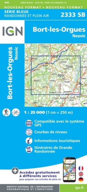
- Bort-les-Orgues - Neuvic IGN 2333SB
- Topographic survey of France at 1:25,000 in IGN`s excellent TOP25 / Série Bleue series. All the maps are GPS compatible, with a 1km UTM grid plus latitude and longitude lines at 5’ intervals. Contours are at 5m intervals except for mountainous areas where the maps have contours at 10m intervals, vividly enhanced by hill shading and graphics for... Read more

De Zwerver
Netherlands
Netherlands
- Also available from:
- Stanfords, United Kingdom

Stanfords
United Kingdom
United Kingdom
- Aigueperse - Châtel-Guyon - Manzat IGN 2530SB
- Topographic survey of France at 1:25,000 in IGN`s excellent TOP25 / Série Bleue series. All the maps are GPS compatible, with a 1km UTM grid plus latitude and longitude lines at 5’ intervals. Contours are at 5m intervals except for mountainous areas where the maps have contours at 10m intervals, vividly enhanced by hill shading and graphics for... Read more
De Zwerver
Netherlands
Netherlands
- Also available from:
- Stanfords, United Kingdom

Stanfords
United Kingdom
United Kingdom
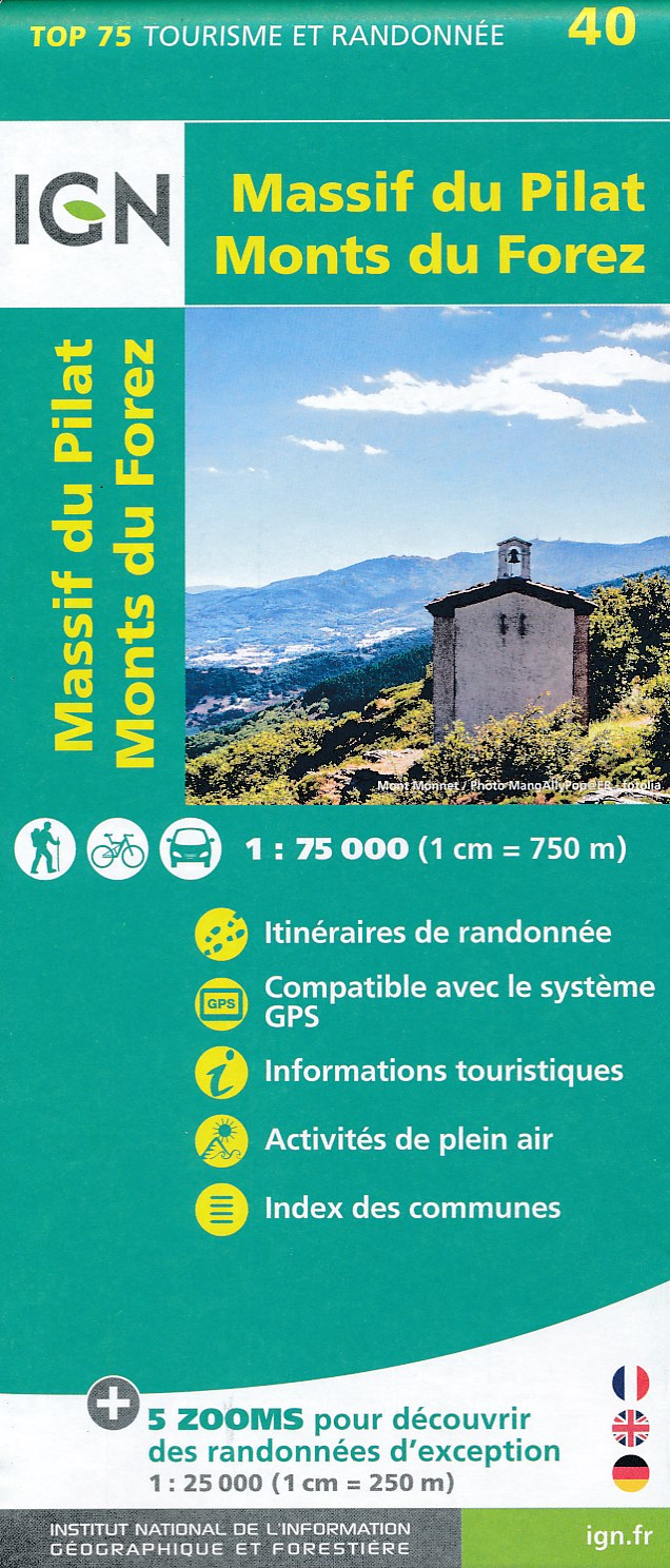
- Massif du Pilat - Monts du Forez IGN 75040
- Topographic survey of France at 1:25,000 in IGN`s excellent TOP25 / Série Bleue series. All the maps are GPS compatible, with a 1km UTM grid plus latitude and longitude lines at 5’ intervals. Contours are at 5m intervals except for mountainous areas where the maps have contours at 10m intervals, vividly enhanced by hill shading and graphics for... Read more
De Zwerver
Netherlands
Netherlands
- Also available from:
- Stanfords, United Kingdom

Stanfords
United Kingdom
United Kingdom
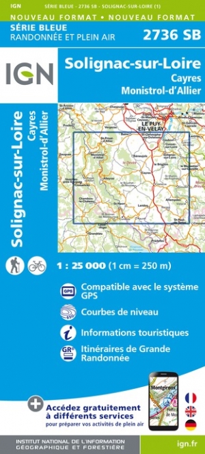
- Solignac-sur-Loire - Cayres - Monistrol-d`Allier IGN 2736SB
- Topographic survey of France at 1:25,000 in IGN`s excellent TOP25 / Série Bleue series. All the maps are GPS compatible, with a 1km UTM grid plus latitude and longitude lines at 5’ intervals. Contours are at 5m intervals except for mountainous areas where the maps have contours at 10m intervals, vividly enhanced by hill shading and graphics for... Read more
De Zwerver
Netherlands
Netherlands
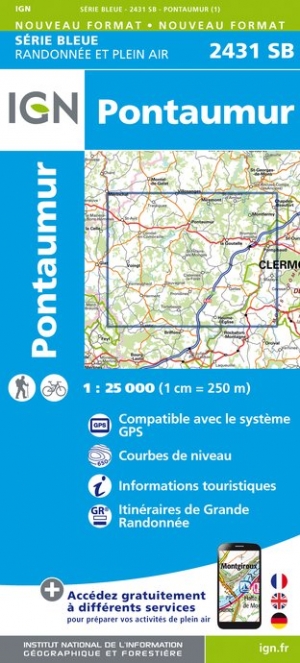
- Wandelkaart - Topografische kaart 2431SB Pontaumur | IGN - Institut Géographique National
- Topographic survey of France at 1:25,000 in IGN`s excellent TOP25 / Série Bleue series. All the maps are GPS compatible, with a 1km UTM grid plus latitude and longitude lines at 5’ intervals. Contours are at 5m intervals except for mountainous areas where the maps have contours at 10m intervals, vividly enhanced by hill shading and graphics for... Read more
- Also available from:
- Stanfords, United Kingdom

Stanfords
United Kingdom
United Kingdom
- Pontaumur IGN Map 2431SB
- Topographic survey of France at 1:25,000 in IGN`s excellent TOP25 / Série Bleue series. All the maps are GPS compatible, with a 1km UTM grid plus latitude and longitude lines at 5’ intervals. Contours are at 5m intervals except for mountainous areas where the maps have contours at 10m intervals, vividly enhanced by hill shading and graphics for... Read more