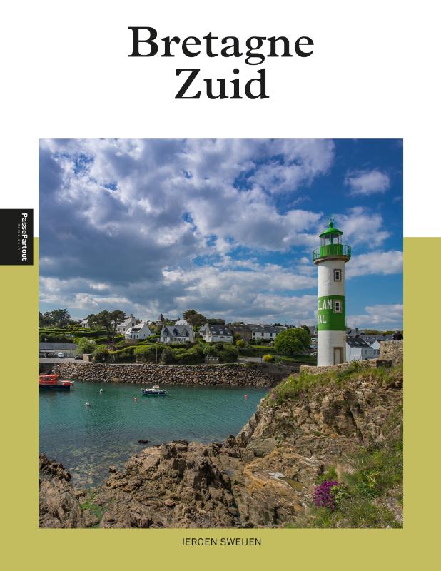
Bretagne
Beschrijving

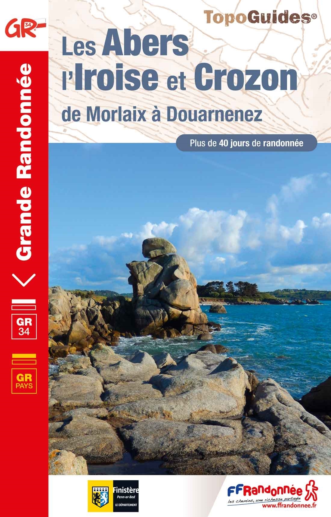
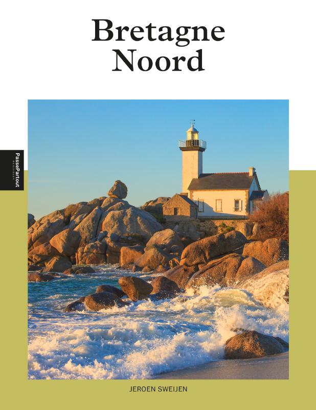
Popular region in the west of France. Brittany reaches far into the Atlantic Ocean. The coastline is rugged and varied. The main hiking attraction is the 1.800 km long coastal trail, the GR34, coinciding with the E9. The countryside is one of fields and hedges and historic little villages.
Kaart

Paden in deze regio
Links
Feiten
Verslagen
Gidsen en kaarten
Overnachting
Organisaties
Reisorganisaties
GPS
Anders
Boeken
De Zwerver
Netherlands
2015
Netherlands
2015
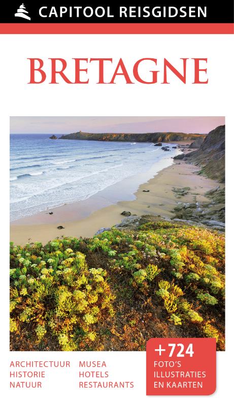
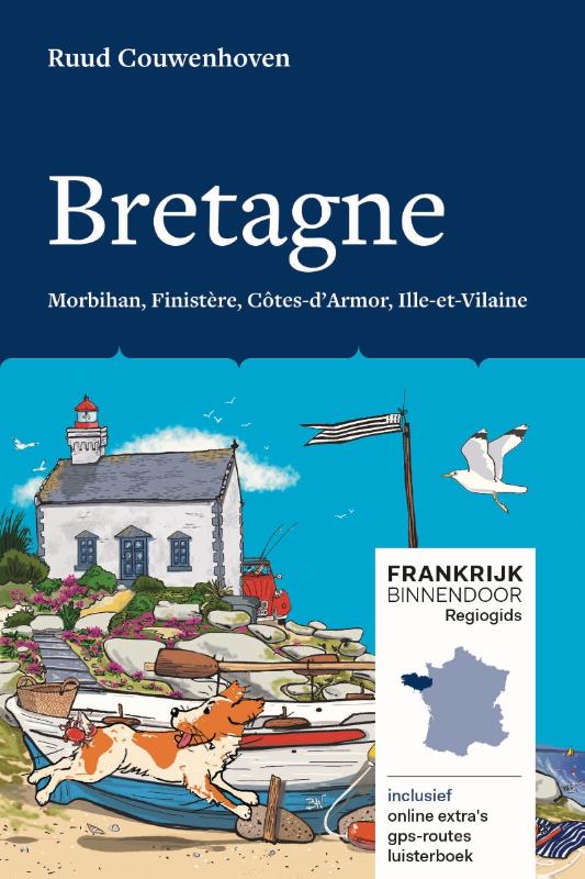
- Reisgids Capitool Reisgidsen Bretagne | Unieboek
- Prachtig geillustreerde reisgids met o.a. 3D tekeningen, fraaie kaarten en geweldige foto’s. Daarnaast uitgebreide achtergrondbeschrijvingen. Echt om in de stemming te komen! Groot formaat gids. Capitool Reisgids De reisgids Bretagne is ideaal in gebruik vóór; tijdens en na de reis. Inmiddels is Capitool, met meer dan 100 titels, al jaren... Read more
De Zwerver
Netherlands
2013
Netherlands
2013
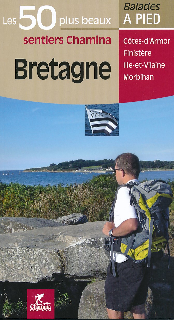
- Wandelgids Bretagne - 50 sentiers | Chamina
- Franstalige wandelgids met 50 dagwandelingen verspreid over heel Bretagne. Goede kaarten en duidelijke informatie over de wandelingen. Les plus belles randonnées, issues d'une sélection rigoureuse, réunies en un seul ouvrage avec carnet pratique, pages consacrées à la découverte patrimoniale, descriptifs détaillés et cartes faciles à lire.... Read more

De Zwerver
Netherlands
2007
Netherlands
2007
- Wandelgids Across the eastern alps: E5 | Cicerone
- From Lake Constance in Germany, this guidebook describes walking the E5 trek that runs 600km through a remarkable kaleidoscope of landscapes and culture in Switzerland, Austria and Italy, to its destination at Verona. It traverses the Allgauer, Lechtaler and Ötztaler Alps. There is a good network of alpine refuges and guesthouses on the route. Read more

De Zwerver
Netherlands
2014
Netherlands
2014
- Wandelgids P355 Les Portes de Bretagne... à pied | FFRP
- Uitstekende wandelgids met gedetailleerde kaarten en een routebeschrijving. Fout lopen wordt op deze manier wel erg moeilijk. Met symbolen is weergegeven welke voorzieningen (openbaar vervoer / winkels / overnachtingen) er zijn langs of bij de route. Een nadeel is dat de daadwerkelijke adressen dan weer niet altijd genoemd worden. Alle gidsen... Read more
- Also available from:
- Stanfords, United Kingdom

Stanfords
United Kingdom
2014
United Kingdom
2014
- Les Portes de Bretagne à pied FFRP Topo-guide No. 355
- Les Portes de Bretagne à pied, FFRP topo-guide Ref. No. P355, with 43 walks of varying length and difficulty in the department of ’Ille-et-Vilaine east of Rennes. Current edition of this title was published in August 2014.To see the list of other FFRP guides with day walks please click on the series link.ABOUT THE FFRP (Fédération française de... Read more

De Zwerver
Netherlands
2022
Netherlands
2022
- Wandelgids Munchen - Venetie, München - Venedig | Rother Bergverlag
- Beschrijving van een lange afstand pad dwars door de Alpen van Munchen naar Venetie: goede beschrijvingen van de etappes, kaarten redelijk. Die anspruchsvolle Alpenüberquerung von München nach Venedig verläuft auf einer der interessantesten aller möglichen Routen über das höchste Gebirge Europas. Im Herzen Münchens beginnt die Tour am... Read more
De Zwerver
Netherlands
2023
Netherlands
2023
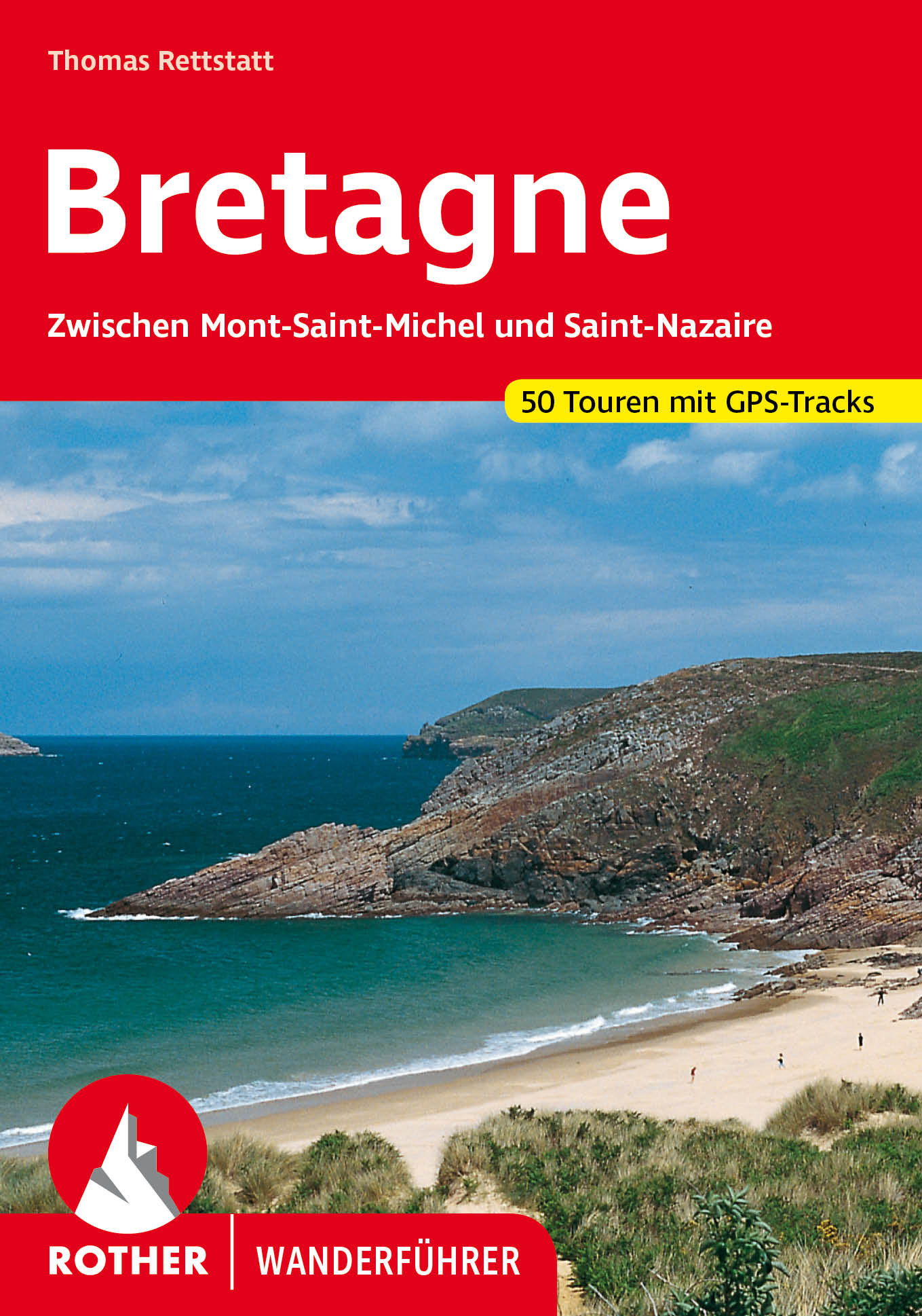
- Wandelgids 247 Bretagne | Rother Bergverlag
- Uitstekende wandelgids met een groot aantal dagtochten in dal en hooggebergte. Met praktische informatie en beperkt kaartmateriaal! Wandelingen in verschillende zwaarte weergegeven in rood/blauw/zwart. Die Bretagne ist das Land am Meer (armor). Entsprechend folgen die schönsten Wanderwege der eindrucksvollen Küste, die durch den Wechsel von... Read more
Kaarten
De Zwerver
Netherlands
Netherlands
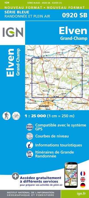
- Wandelkaart - Topografische kaart 0920SB Elven - Grand-Champ | IGN - Institut Géographique National
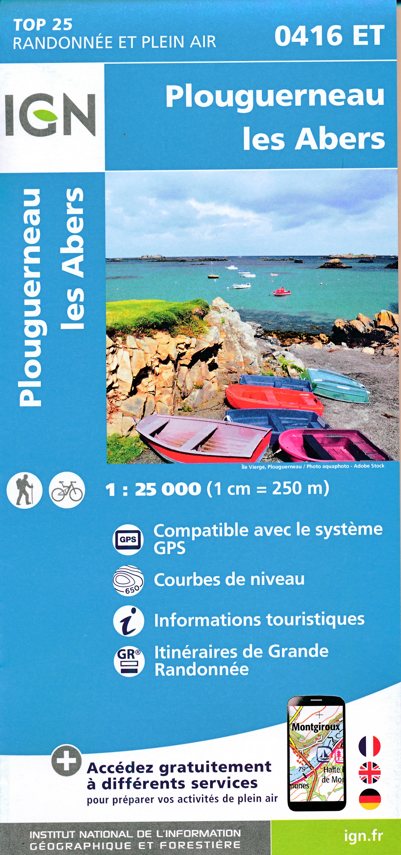
- Topographic survey of France at 1:25,000 in IGN's excellent TOP25 / S Read more
- Also available from:
- Stanfords, United Kingdom

Stanfords
United Kingdom
United Kingdom
- Elven - Grand-Champ IGN 0920SB
- Topographic survey of France at 1:25,000 in IGN`s excellent TOP25 / Série Bleue series. All the maps are GPS compatible, with a 1km UTM grid plus latitude and longitude lines at 5’ intervals. Contours are at 5m intervals except for mountainous areas where the maps have contours at 10m intervals, vividly enhanced by hill shading and graphics for... Read more

De Zwerver
Netherlands
Netherlands
- Wandelkaart 2558 Europäischer Fernwanderweg E5 | Kompass
- Ideal für die Planung und für unterwegs! • Übersichtliche Karten im idealen Maßstab 1:50 000 • Handliches Format 100 x 175 mm • Reiß- und wetterfestes Papier – ideal für jede Witterung • Kompakte Reiseführer-Infos zu den Highlights am Weg und Übernachtungsverzeichnis • Extra Stadtpläne mit Infos zu Apotheken, Geldautomaten, Werkstätten usw. Read more
- Also available from:
- Stanfords, United Kingdom

Stanfords
United Kingdom
United Kingdom
- Lake Constance to Verona - E5 European Long-Distance Trail Kompass 2558
- The 601km eastern half of Europe’s E5 long distance footpaths from Lake Constance across the Austrian Alps to Verona on a waterproof and tear-resistant, contoured and GPS compatible concertina map from Kompass presenting the route on 40 panels, each 17.5x20cm. Plus accommodations recommendations and street plans.The route is highlighted on maps... Read more
De Zwerver
Netherlands
Netherlands
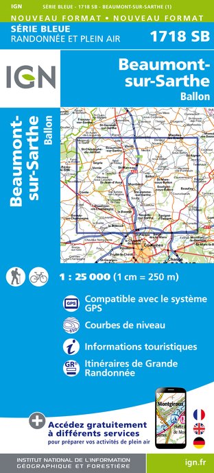
- Wandelkaart - Topografische kaart 1718SB Beaumont-sur-Sarthe - Ballon | IGN - Institut Géographique National
- Topographic survey of France at 1:25,000 in IGN's excellent TOP25 / S Read more
- Also available from:
- Stanfords, United Kingdom

Stanfords
United Kingdom
United Kingdom
- Beaumont-sur-Sarthe - Ballon IGN 1718SB
- Topographic survey of France at 1:25,000 in IGN`s excellent TOP25 / Série Bleue series. All the maps are GPS compatible, with a 1km UTM grid plus latitude and longitude lines at 5’ intervals. Contours are at 5m intervals except for mountainous areas where the maps have contours at 10m intervals, vividly enhanced by hill shading and graphics for... Read more

De Zwerver
Netherlands
Netherlands
- Wandelkaart - Fietskaart Insel Rügen | Verlag Dr. Barthel
- Frei von Werbeanzeigen. reißfest, wetterfest durch Beschichtung mit hochwertiger nicht spiegelnder Folie, mit ausgewählten Straßennamen zur besseren Orientierung, farbig hervorgehobenen Ausflugszielen, Sehenswürdigkeiten der Umgebung in Text und Bild und alle regionalen und überregionalen Wander- und Radwanderwege sowie ausgewiesene... Read more
De Zwerver
Netherlands
Netherlands
- Also available from:
- Stanfords, United Kingdom

Stanfords
United Kingdom
United Kingdom
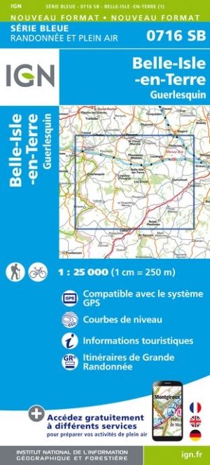
- Belle-Isle-en-Terre - Guerlesquin IGN 0716SB
- Topographic survey of France at 1:25,000 in IGN`s excellent TOP25 / Série Bleue series. All the maps are GPS compatible, with a 1km UTM grid plus latitude and longitude lines at 5’ intervals. Contours are at 5m intervals except for mountainous areas where the maps have contours at 10m intervals, vividly enhanced by hill shading and graphics for... Read more
De Zwerver
Netherlands
Netherlands
- Also available from:
- Stanfords, United Kingdom

Stanfords
United Kingdom
United Kingdom
- Craon - Chemaze IGN 1420SB
- Topographic survey of France at 1:25,000 in IGN`s excellent TOP25 / Série Bleue series. All the maps are GPS compatible, with a 1km UTM grid plus latitude and longitude lines at 5’ intervals. Contours are at 5m intervals except for mountainous areas where the maps have contours at 10m intervals, vividly enhanced by hill shading and graphics for... Read more
De Zwerver
Netherlands
Netherlands
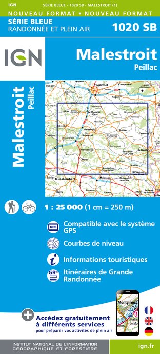
- Wandelkaart - Topografische kaart 1020SB Malestroit - Peillac | IGN - Institut Géographique National
- Topographic survey of France at 1:25,000 in IGN's excellent TOP25 / S Read more
- Also available from:
- Stanfords, United Kingdom

Stanfords
United Kingdom
United Kingdom
- Malestroit - Peillac IGN 1020SB
- Topographic survey of France at 1:25,000 in IGN`s excellent TOP25 / Série Bleue series. All the maps are GPS compatible, with a 1km UTM grid plus latitude and longitude lines at 5’ intervals. Contours are at 5m intervals except for mountainous areas where the maps have contours at 10m intervals, vividly enhanced by hill shading and graphics for... Read more
De Zwerver
Netherlands
Netherlands
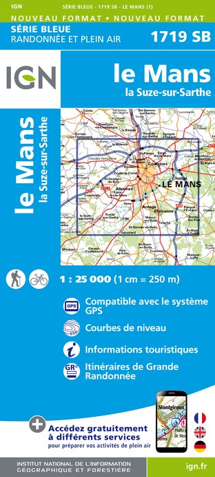
- Wandelkaart - Topografische kaart 1719SB Le Mans - La Suze-sur-Sarthe | IGN - Institut Géographique National
- Topographic survey of France at 1:25,000 in IGN's excellent TOP25 / S Read more
- Also available from:
- Stanfords, United Kingdom

Stanfords
United Kingdom
United Kingdom
- Le Mans - la Suze-sur-Sarthe IGN 25K Série Bleue Map 1719SB
- Topographic survey of France at 1:25,000 in IGN`s excellent TOP25 / Série Bleue series. All the maps are GPS compatible, with a 1km UTM grid plus latitude and longitude lines at 5’ intervals. Contours are at 5m intervals except for mountainous areas where the maps have contours at 10m intervals, vividly enhanced by hill shading and graphics for... Read more
De Zwerver
Netherlands
Netherlands
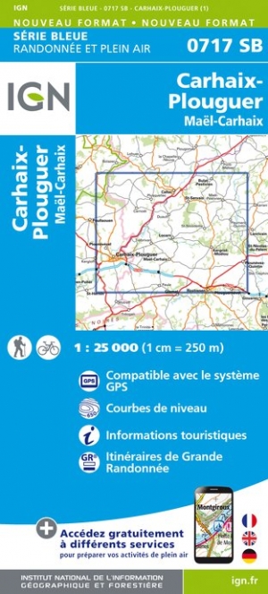
- Wandelkaart - Topografische kaart 0717SB Carhaix-Plouguer, Maël-Carhaix | IGN - Institut Géographique National
- In de loop van de periode 2014-2018 gaat IGN de 25.000 serie vervangen: de oude versies Est en Ouest (E en O aanduiding achter het nummer van de kaart) gaan verdwijnen en worden vervangen door een kaart met nummer en gevolgd door de letters SB. In de meeste gevalen is het een samenvoeging van de E en O kaart, de SB kaart beslaat dan ook een... Read more
- Also available from:
- Stanfords, United Kingdom

Stanfords
United Kingdom
United Kingdom
- Carhaix-Plouguer - Mael-Carhaix IGN 0717SB
- In de loop van de periode 2014-2018 gaat IGN de 25.000 serie vervangen: de oude versies Est en Ouest (E en O aanduiding achter het nummer van de kaart) gaan verdwijnen en worden vervangen door een kaart met nummer en gevolgd door de letters SB. In de meeste gevalen is het een samenvoeging van de E en O kaart, de SB kaart beslaat dan ook een... Read more

Meer kaarten…