
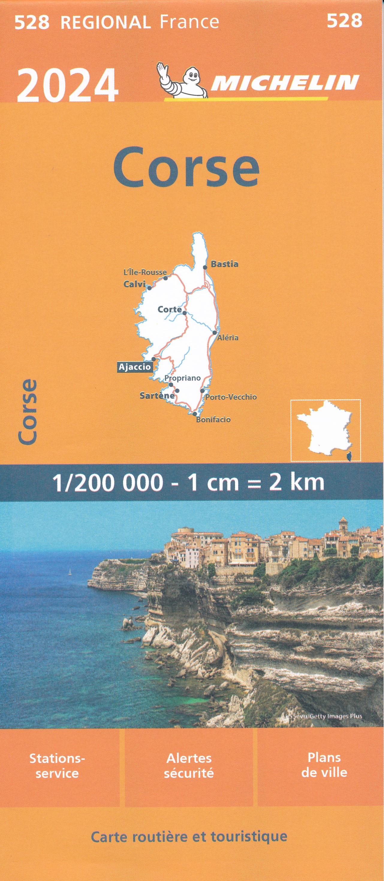
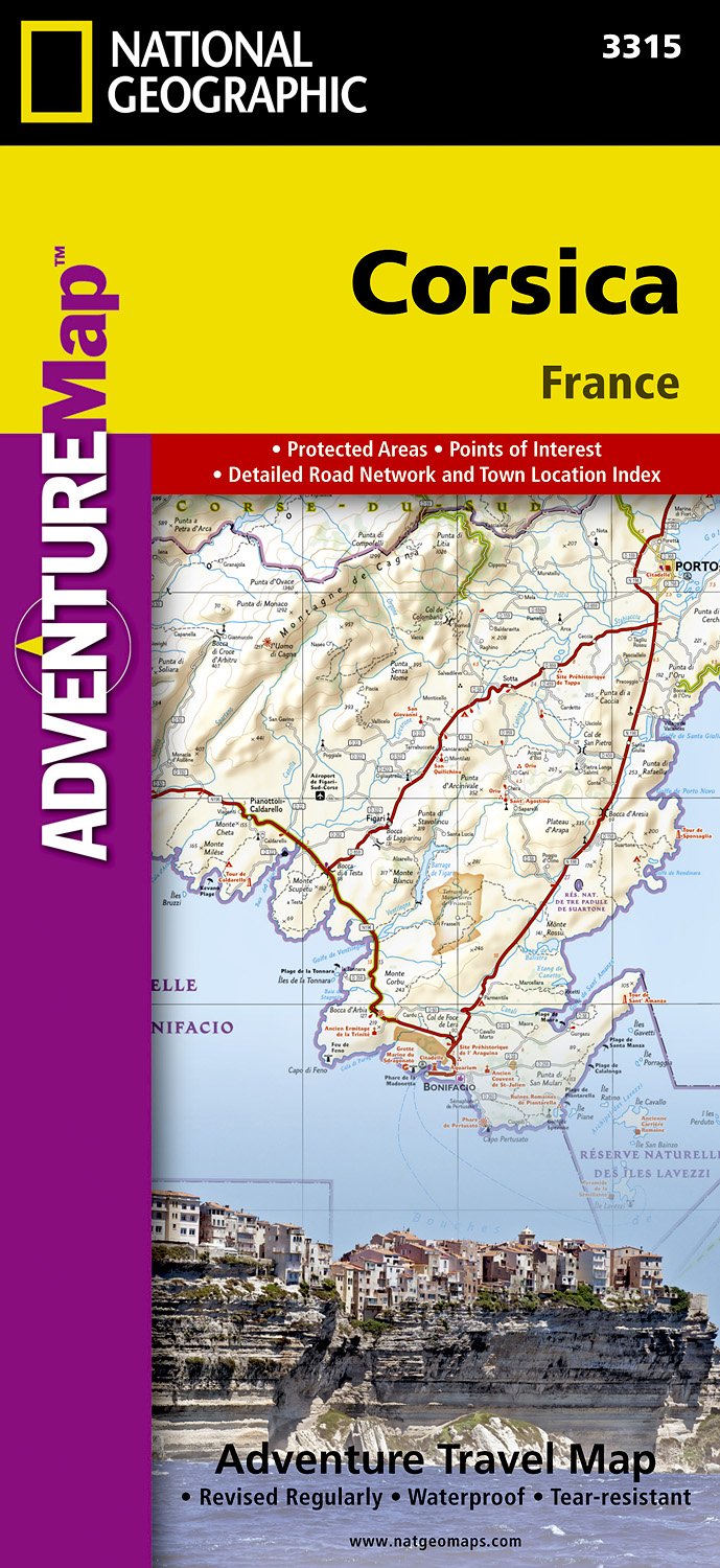
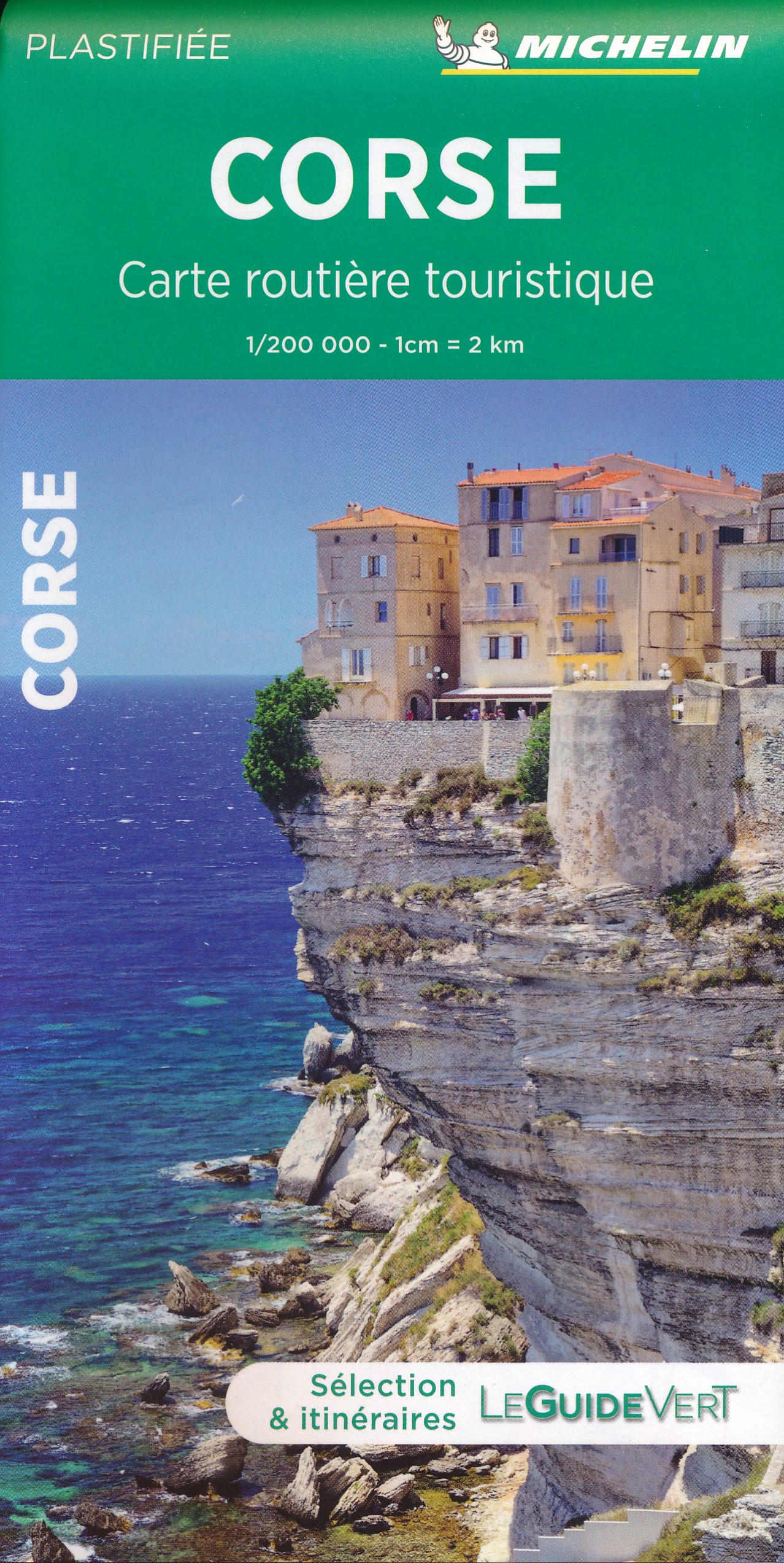
Corsica
Beschrijving

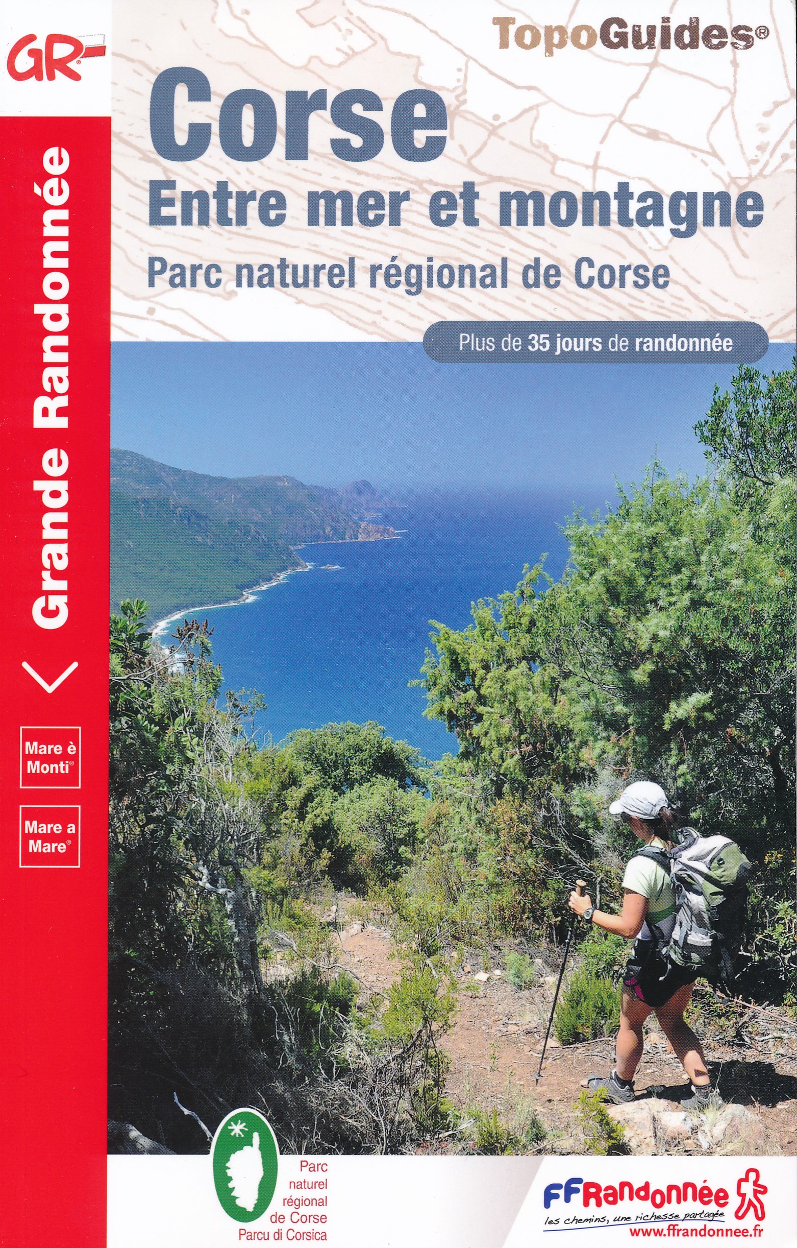
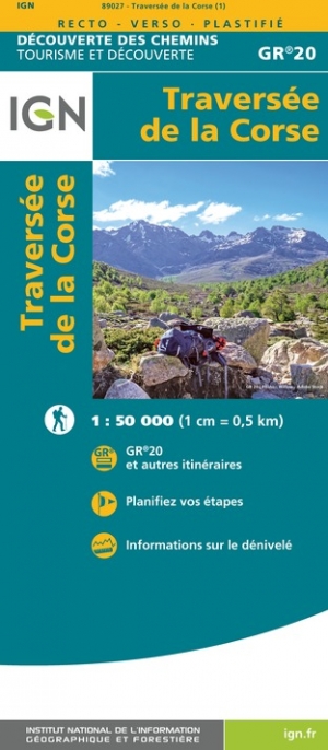
 destination in the Mediterranean, has good hiking possibilities. To start with, the GR20 is a challenging two weeks hike crossing the mountainous interior of the island. The GR20 is said to be the most difficult of the French Grand Randonnees, long distance hiking trails. For sure: it is very popular. Less challenging hikes take you across the island from coast to coast, passing rural areas and "maquis', dry shrub. These hikes are Mare a Mare Nord, Centre, Sud, and Mare e Monti.
A rewarding hiking destination is Li Pozzi, a mountain range not far from the GR20 in the south of the island.
Kaart

Paden in deze regio
Links
Feiten
Verslagen
Gidsen en kaarten
Overnachting
Organisaties
Reisorganisaties
GPS
Anders
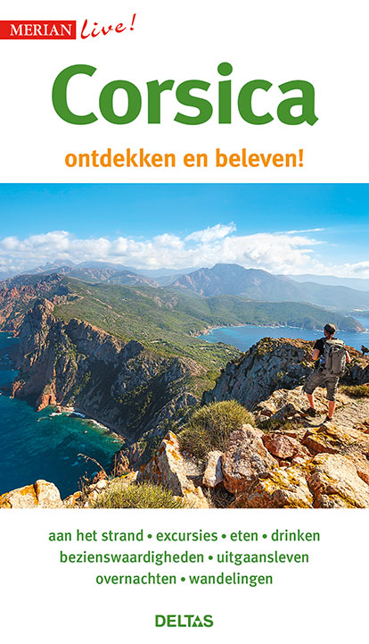
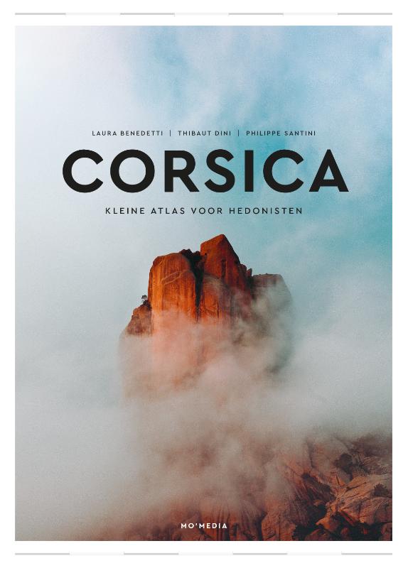
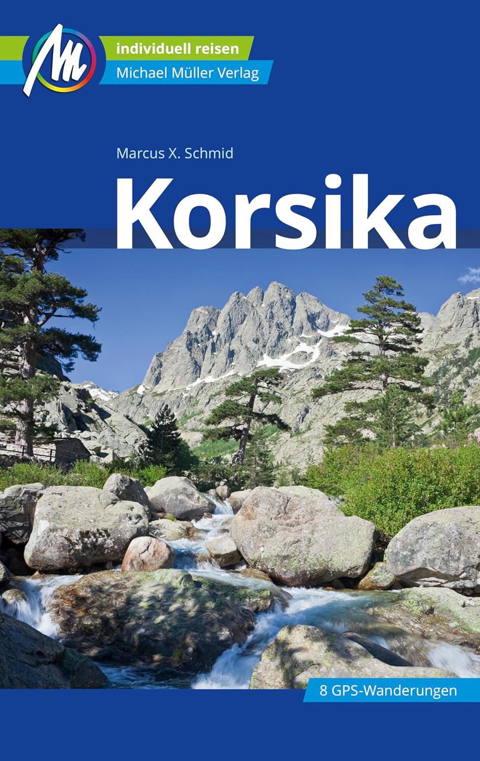
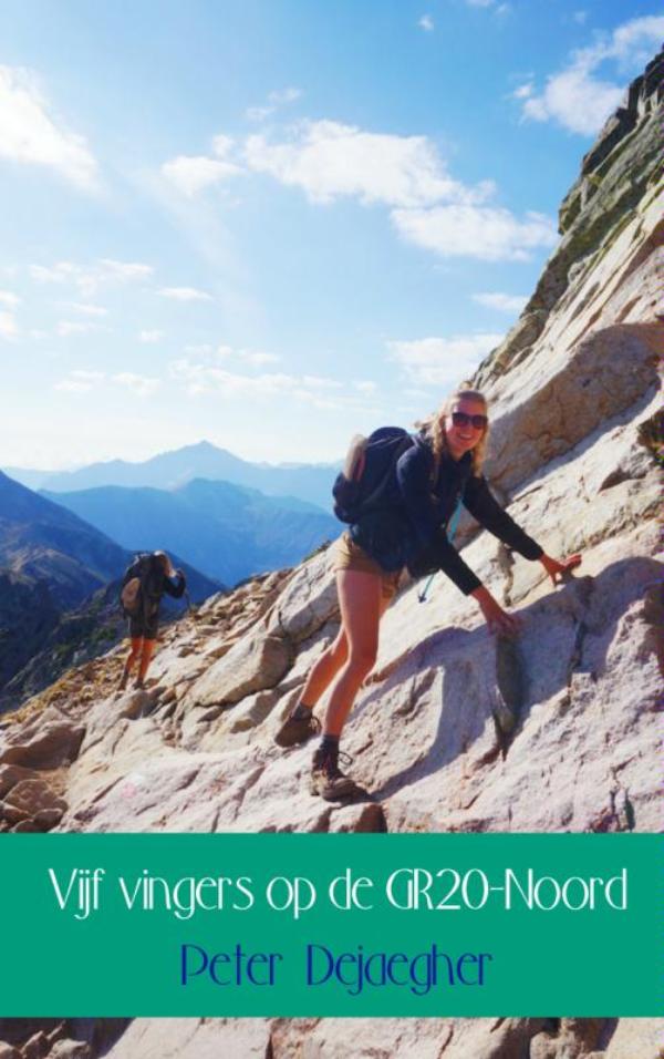
Boeken
- Also available from:
- Stanfords, United Kingdom

Stanfords
United Kingdom
2018
United Kingdom
2018
- Corsica - Walk & Eat
- This pocket-sized guide to walking in Corsica is designed for visitors who would like to do some fairly easy walking as opposed to tackling the more difficult routes described in Landscapes of Corsica. It`s ideal for high season, when strenuous routes may be too hot, or for those travelling with children. The walks cover the entire island.Even... Read more
De Zwerver
Netherlands
2013
Netherlands
2013
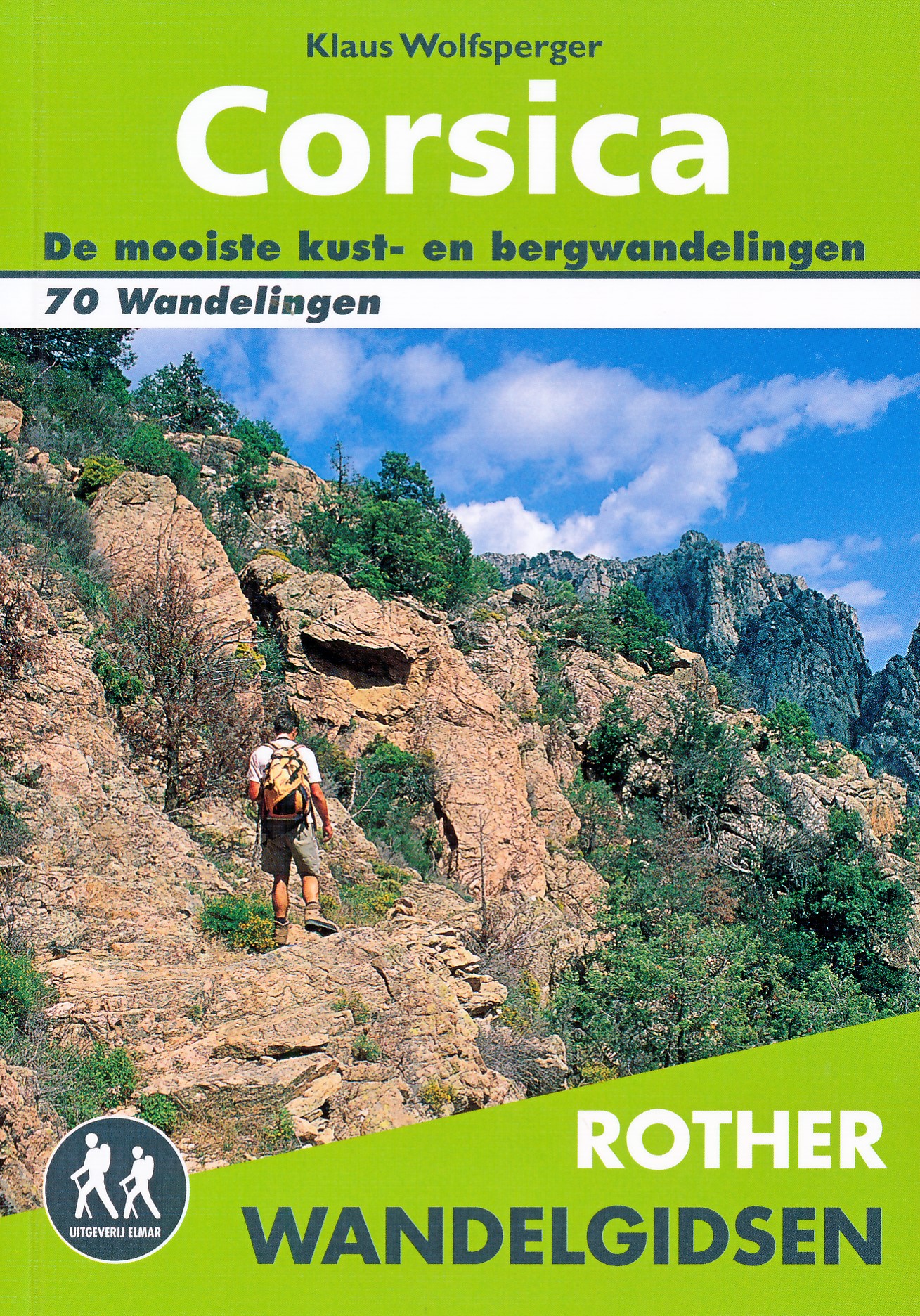
- Wandelgids Corsica | Uitgeverij Elmar
- De Rother wandelgids Corsica telt maar liefst zeventig wandelingen. Corsica is een populaire vakantiebestemming vanwege het gunstige klimaat, de kilometer lange zandstranden, gezellige dorpjes, uitgestrekte wouden en kristalheldere meren en beken. Maar het zijn vooral de imposante berglandschappen die Corsica bij wandelaars populair maakt. De... Read more
De Zwerver
Netherlands
2018
Netherlands
2018
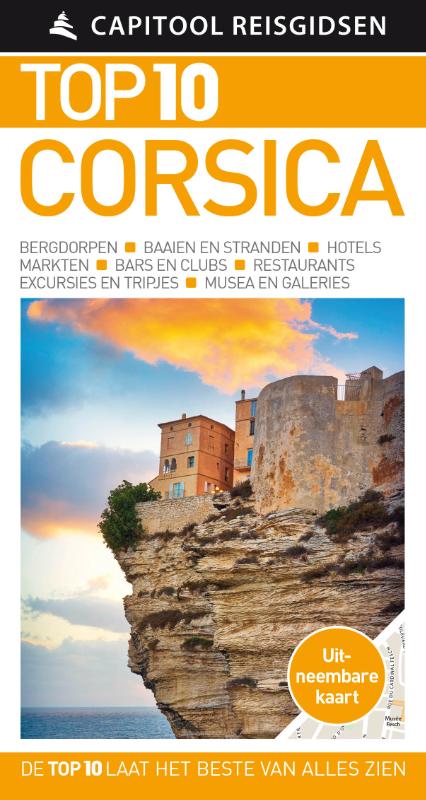
- Reisgids Capitool Top 10 Corsica | Unieboek
- De naam zegt het al: een compacte versie van de veel geprezen Capitool serie. Eigenlijk vergelijkbaar met veel illustraties, veel aandacht voor cultuur en bevolking en hier en daar praktische informatie. Kleine versie, handig in de binnenzak. Zon, zee en strand Of je nu wilt zwemmen in de azuurblauwe zee, een wandeltocht wilt maken door het... Read more
De Zwerver
Netherlands
2022
Netherlands
2022
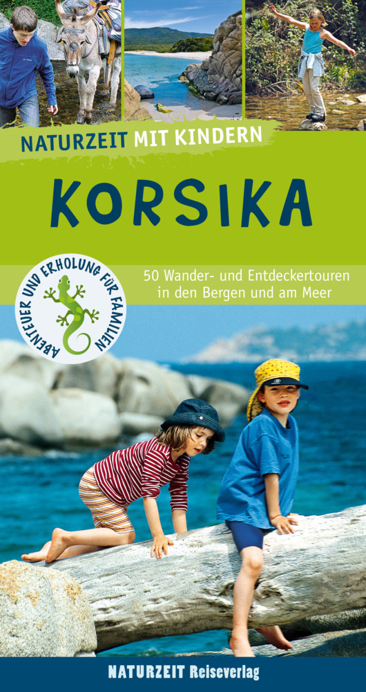
- Reisgids Korsika mit Kindern - Corsica | Naturzeit Reiseverlag
- Korsika mit Kindern ab 17.9 EURO 45 Wander- und Entdeckertouren für Familien Abenteuer und Erholung für Familien. 6. Auflage Read more
De Zwerver
Netherlands
2017
Netherlands
2017
De Zwerver
Netherlands
2014
Netherlands
2014
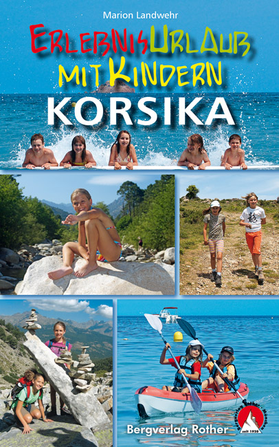
- Wandelgids - Reisgids Erlebnisurlaub mit Kindern - Korsika, Corsica | Rother Bergverlag
- 40 Wanderungen und Ausflüge. Mit GPS-Daten Rother Wanderbuch. 3., aktualisierte Auflage. Read more
Meer boeken…
Kaarten
De Zwerver
Netherlands
Netherlands
- Also available from:
- Stanfords, United Kingdom

Stanfords
United Kingdom
United Kingdom
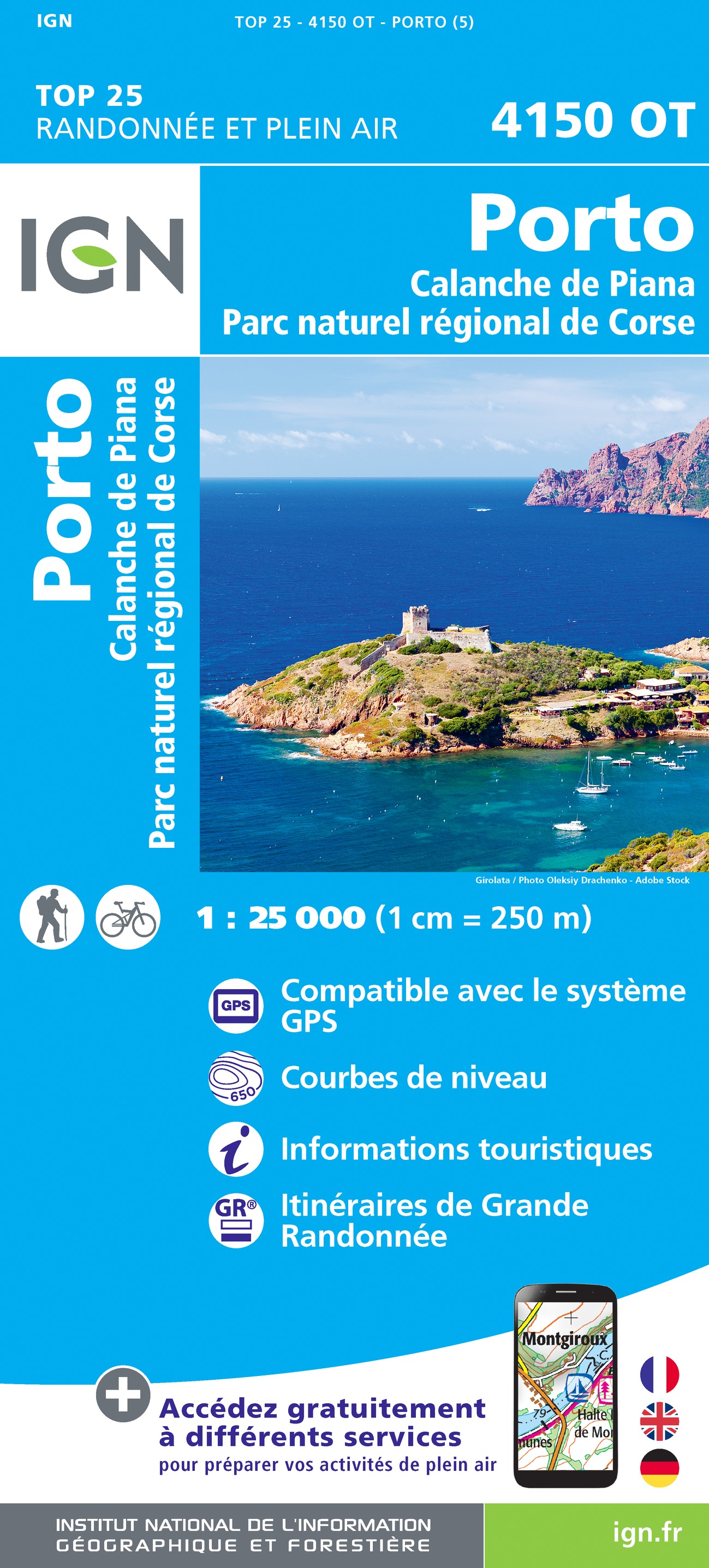
- Porto - Calanche de Piana - PNR de Corse IGN 4150OT
- Topographic survey of France at 1:25,000 in IGN`s excellent TOP25 / Série Bleue series. All the maps are GPS compatible, with a 1km UTM grid plus latitude and longitude lines at 5’ intervals. Contours are at 5m intervals except for mountainous areas where the maps have contours at 10m intervals, vividly enhanced by hill shading and graphics for... Read more
De Zwerver
Netherlands
Netherlands
- Also available from:
- Stanfords, United Kingdom

Stanfords
United Kingdom
United Kingdom
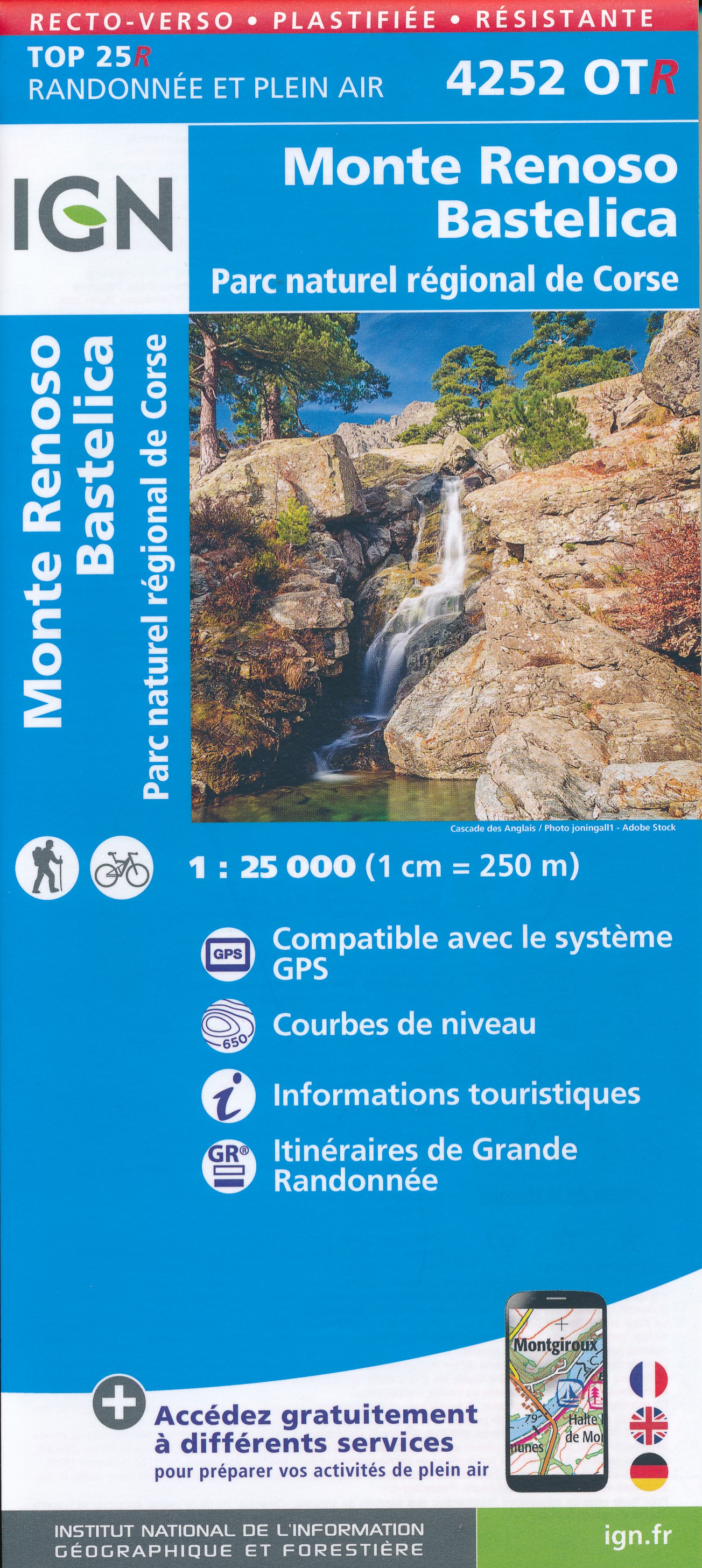
- Monte Renoso - Bastelica - PNR de Corse IGN WATERPROOF 4252OTR
- Topographic survey of France at 1:25,000 in IGN`s excellent TOP25 / Série Bleue series. All the maps are GPS compatible, with a 1km UTM grid plus latitude and longitude lines at 5’ intervals. Contours are at 5m intervals except for mountainous areas where the maps have contours at 10m intervals, vividly enhanced by hill shading and graphics for... Read more
De Zwerver
Netherlands
Netherlands
De Zwerver
Netherlands
Netherlands
- Also available from:
- Stanfords, United Kingdom

Stanfords
United Kingdom
United Kingdom
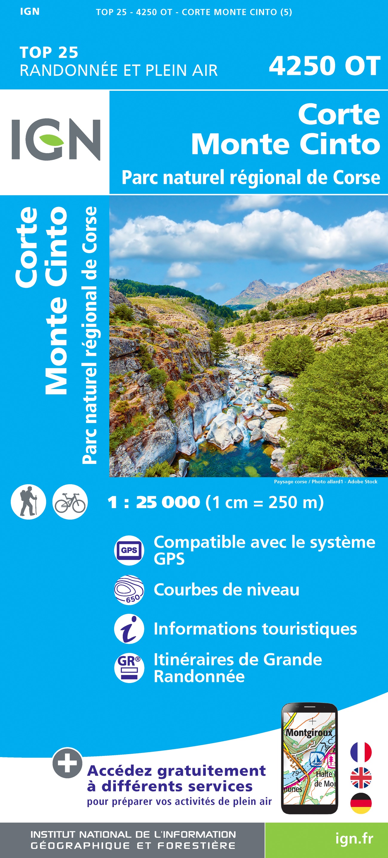
- Corte - Monte Cinto - PNR de Corse IGN 4250OT
- Topographic survey of France at 1:25,000 in IGN`s excellent TOP25 / Série Bleue series. All the maps are GPS compatible, with a 1km UTM grid plus latitude and longitude lines at 5’ intervals. Contours are at 5m intervals except for mountainous areas where the maps have contours at 10m intervals, vividly enhanced by hill shading and graphics for... Read more
De Zwerver
Netherlands
2020
Netherlands
2020
- Also available from:
- Stanfords, United Kingdom

De Zwerver
Netherlands
Netherlands
De Zwerver
Netherlands
Netherlands
- Also available from:
- Stanfords, United Kingdom

Stanfords
United Kingdom
United Kingdom
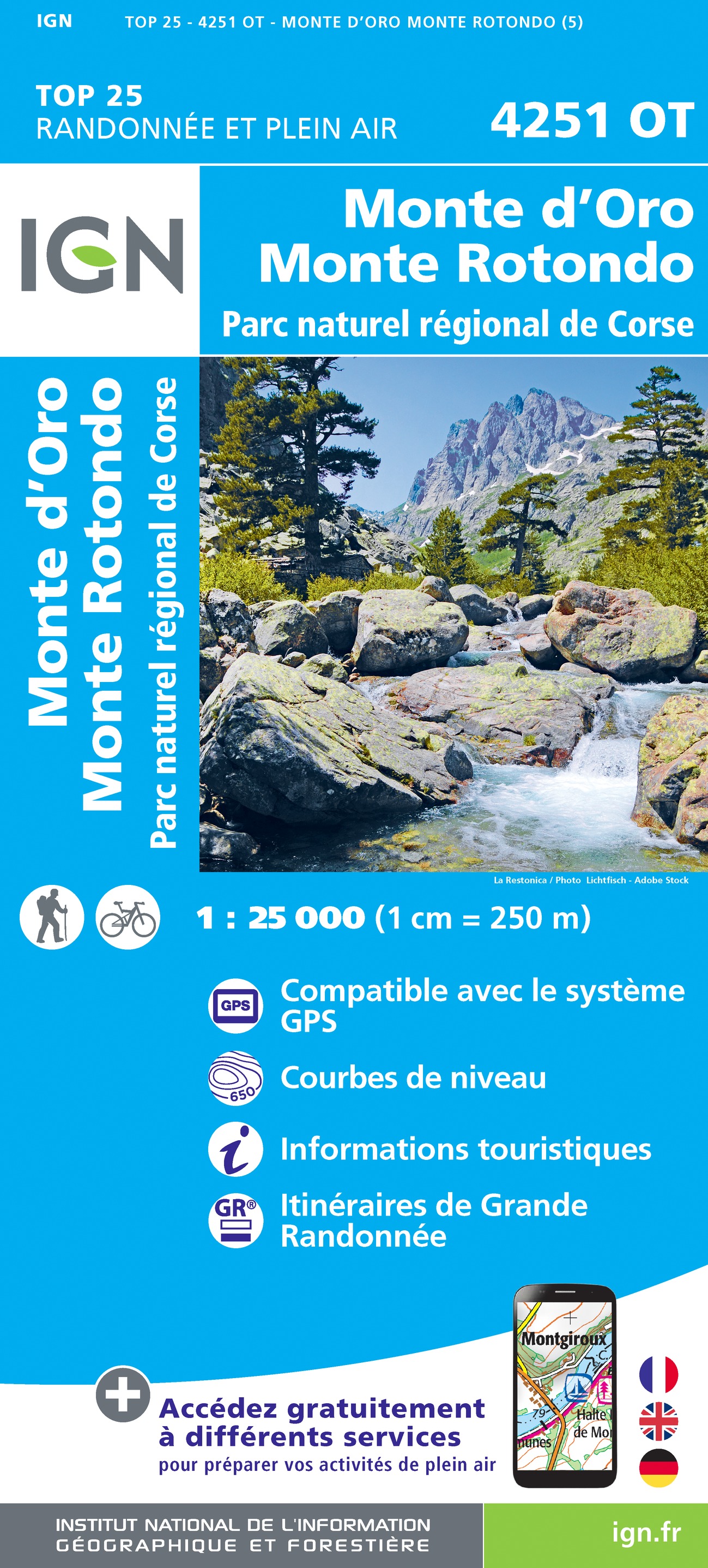
- Monte d`Oro - Monte Rotondo - PNR de Corse IGN 4251OT
- Topographic survey of France at 1:25,000 in IGN`s excellent TOP25 / Série Bleue series. All the maps are GPS compatible, with a 1km UTM grid plus latitude and longitude lines at 5’ intervals. Contours are at 5m intervals except for mountainous areas where the maps have contours at 10m intervals, vividly enhanced by hill shading and graphics for... Read more

De Zwerver
Netherlands
Netherlands
- Also available from:
- Stanfords, United Kingdom

Stanfords
United Kingdom
United Kingdom
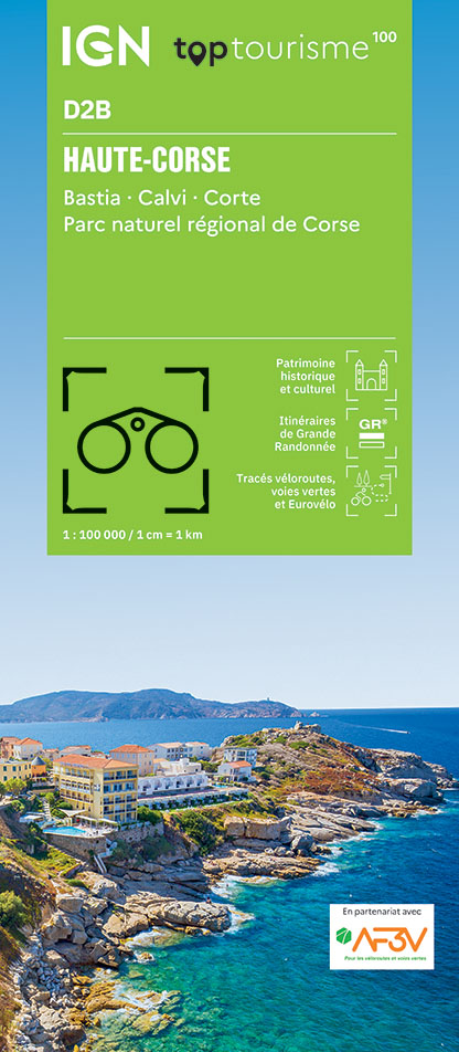
- Bastia - Corte - Calvi - Ile Rousse - PNR du Corse (Nord) IGN TOP100 175
- Discover the new double-sided laminated edition of TOP100 road maps of France from the Institut Géographique National (IGN); exceptionally detailed, contoured road maps which include the cycle paths and greenways of the AF3V (French Association for the Development of Cycle Paths and Greenways), ideal for exploring the French countryside by car,... Read more