
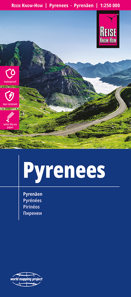
Pyrenees
Beschrijving

The Pyrenees form the natural border between Spain and france. The mountain range extends from one sea to the other, from the Atlantic to the Mediterranean, always a good excuse for hikers to symbolically cross over and stay away from home two months.
Of course there is a fan group of the Pyrenees versus one of the Alps. The Pyrenees are very different from the Alps alltogether. There are no large lakes, but many high situated small ones. There are almost no passings over the Pyrenees from France into Spain. The famous exceptions - St Jean-Pied-de-Port and Col de Somport - are used by the Way of St. James, Camino de Santiago.
There are plenty of good hikes, among them the GR10, the Haute Randonnée Pyrénéenne, and - on the Spanish side, the GR11.
Kaart

Paden in deze regio
- Camino AragonésGPX
- Camino de BaztanGPX
- Camino de GironaGPX
- Camino FrancésGPX
- Carros de FocGPX
- E3GPX
- E4GPX
- E7GPX
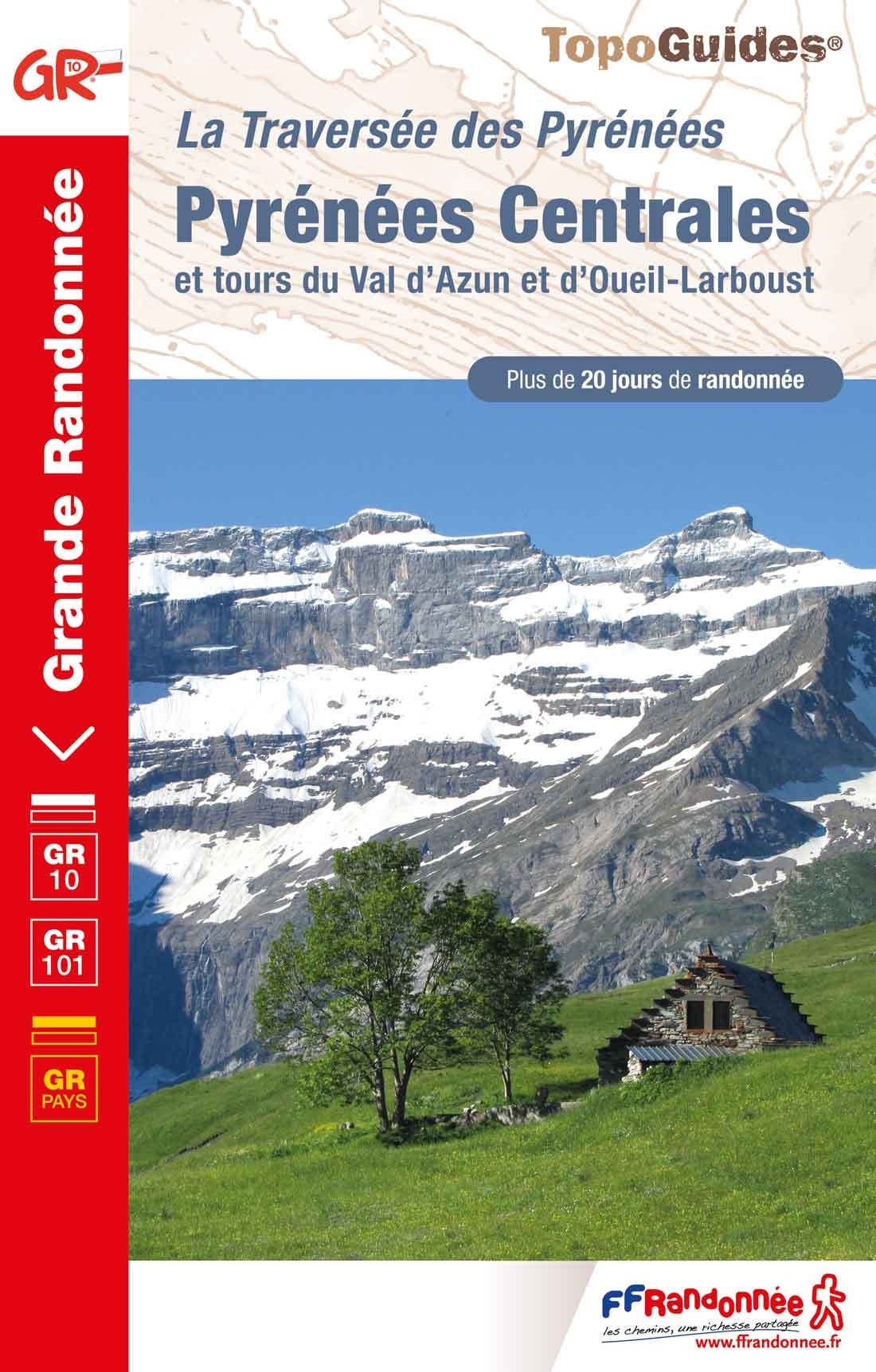
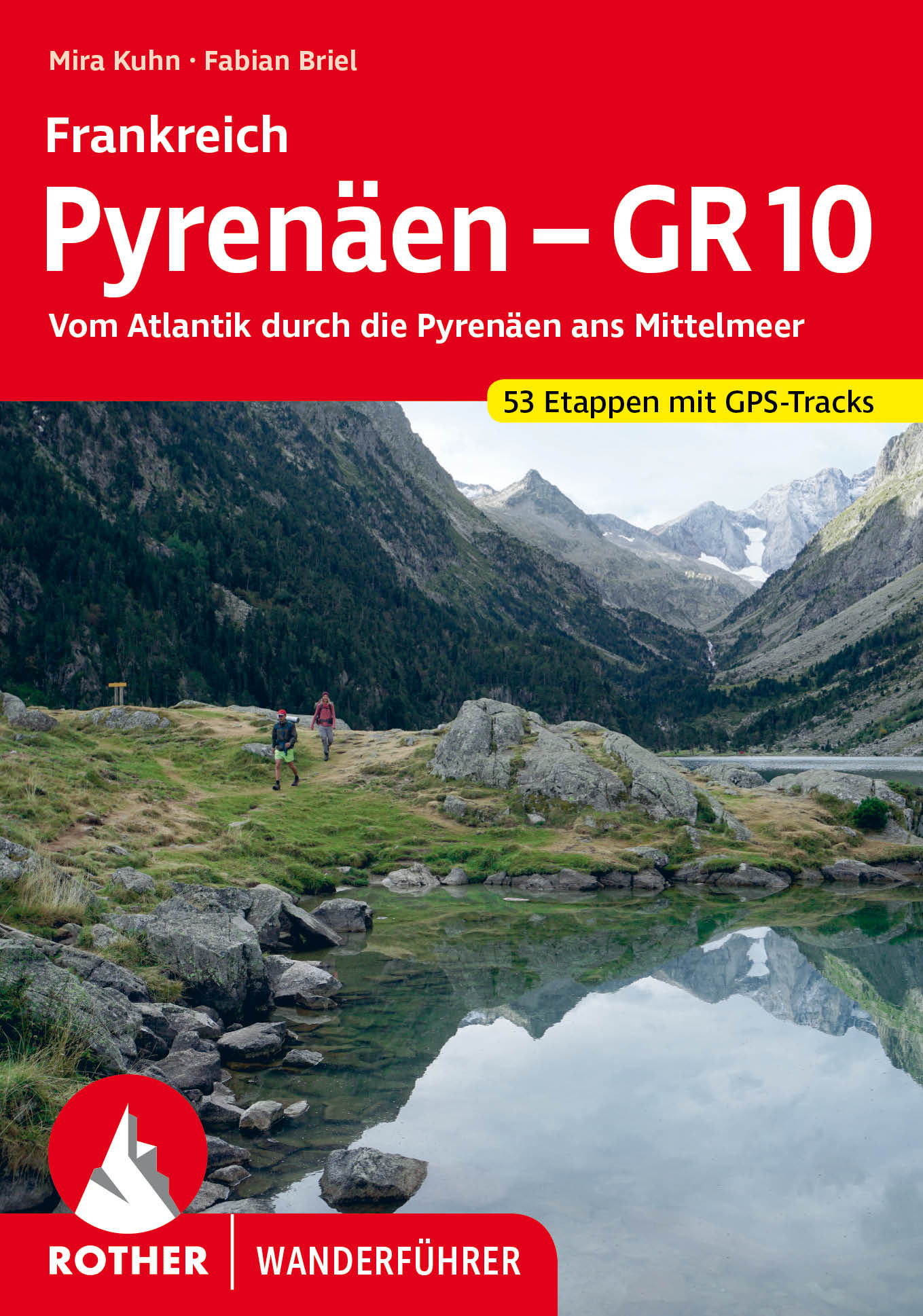
- GR10 - Traversée des PyrénéesGPX
- GR101GPX
- GR107 - El Camí dels Bons HomesGPX
- GR11 Sendero PirenaicoGPX
- GR36 - Traversée du PérigordGPX
- GR65 - Via PodiensisGPX
- GR7GPX
- GR78 - Sentier de PiémontGPX
- GR8GPX
- GR83 - Camí del Nord o del CanigóGPX
- GR86GPX
- HRP - Haute Randonnée PyrénéenneGPX
- Sentier CathareGPX
- Tour du LarzacGPX
- Voie de Lourdes
- Voie du PiémontGPX
Links
Feiten
Verslagen
Gidsen en kaarten
Overnachting
Organisaties
Reisorganisaties
GPS
Anders
Boeken
Netherlands
2018
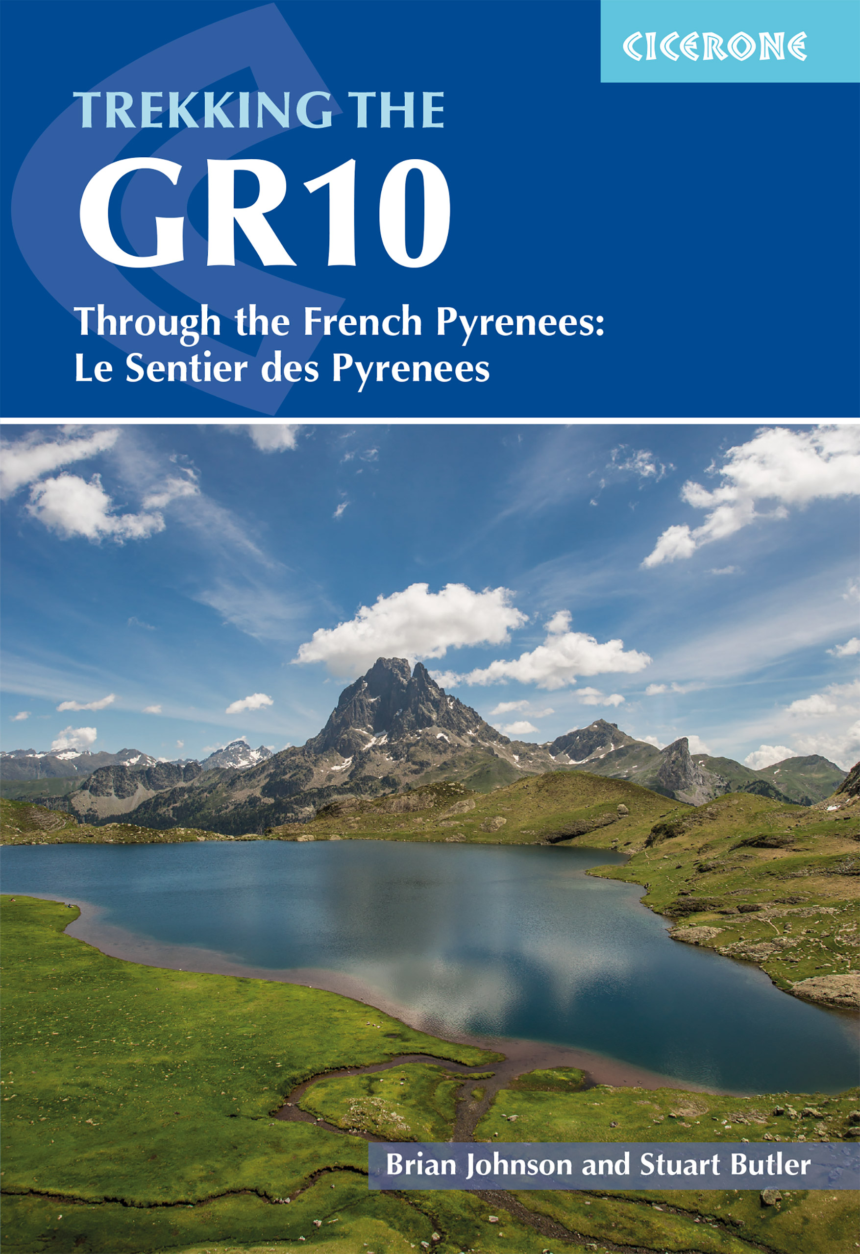
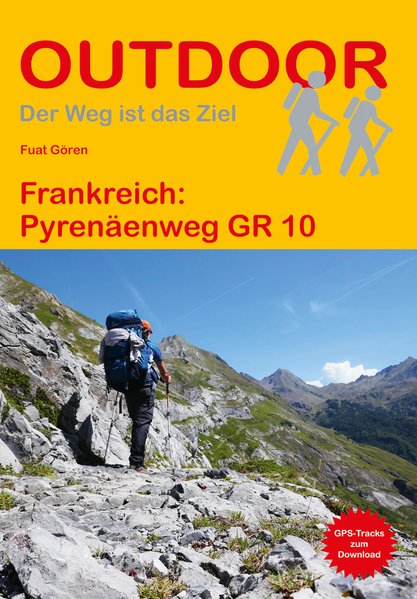
- Wandelgids 216 Pyrenäenweg GR10 - GR 10 | Conrad Stein Verlag
- Handzaam boekje (prettig klein formaat) met de routebeschrijving inclusief een heleboel praktische informatie. De beschrijving is uitstekend, maar kaarten zijn beperkt en schetsmatig aanwezig. Duits. Der GR 10 ist einer der bekanntesten Fernwanderwege Frankreichs. Von Hendaye an der französischen Atlantikküste wandern Sie über 933 km und ca.... Read more
Netherlands
2021
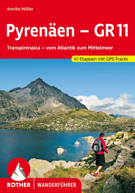
- Wandelgids Pyrenäen - GR 11 - Pyreneeen | Rother Bergverlag
- Goede compacte wandelgids van de GR11, de Spaanse doorgaande Pyreneeën route. Veel praktische informatie, kaartmateriaal beperkt, met hoogteprofielen. Majestätisch ragen schneebedeckte Gipfel auf, verträumt liegen Bergseen in stillen Landschaften, wie von der Zeit vergessen scheinen die wenigen, kleinen Bergdörfer zu sein – und über ihnen allen... Read more

Netherlands
2014
- Wandelgids - Pelgrimsroute 6531 Sentier vers Saint-Jacques-de-Compostelle : Montgenèvre - Arles GR653D | FFRP
- Guide FFRandonnée Sentier vers Saint-Jacques-de-Compostelle : Montgenèvre - Arles - GR 653D - 459 km de sentiers GR. La Voie d'Arles. Un chemin incontournable, à la fois itinéraire jacquaire et ancienne voie romaine, qui vous fera découvrir 4 départements aux paysages contrastés et au... Read more
- Also available from:
- Stanfords, United Kingdom

United Kingdom
2014
- GR653D Chemins de St-Jacques: Montgenèvre - Arles FFRP Topo-guide No. 6531
- Chemins de St-Jacques: Montgenèvre - Arles, FFRP topoguide Ref. no. 6531, covering a 459km route along the GR653D from Montgenèvre in the French Alps on the Italian border, across Gap, Sisteron, Apt and Cavaillon, to Arles. Current edition of this title was published in June 2014.ABOUT THE FFRP (Fédération française de la randonnée pédestre)... Read more
Netherlands
2015
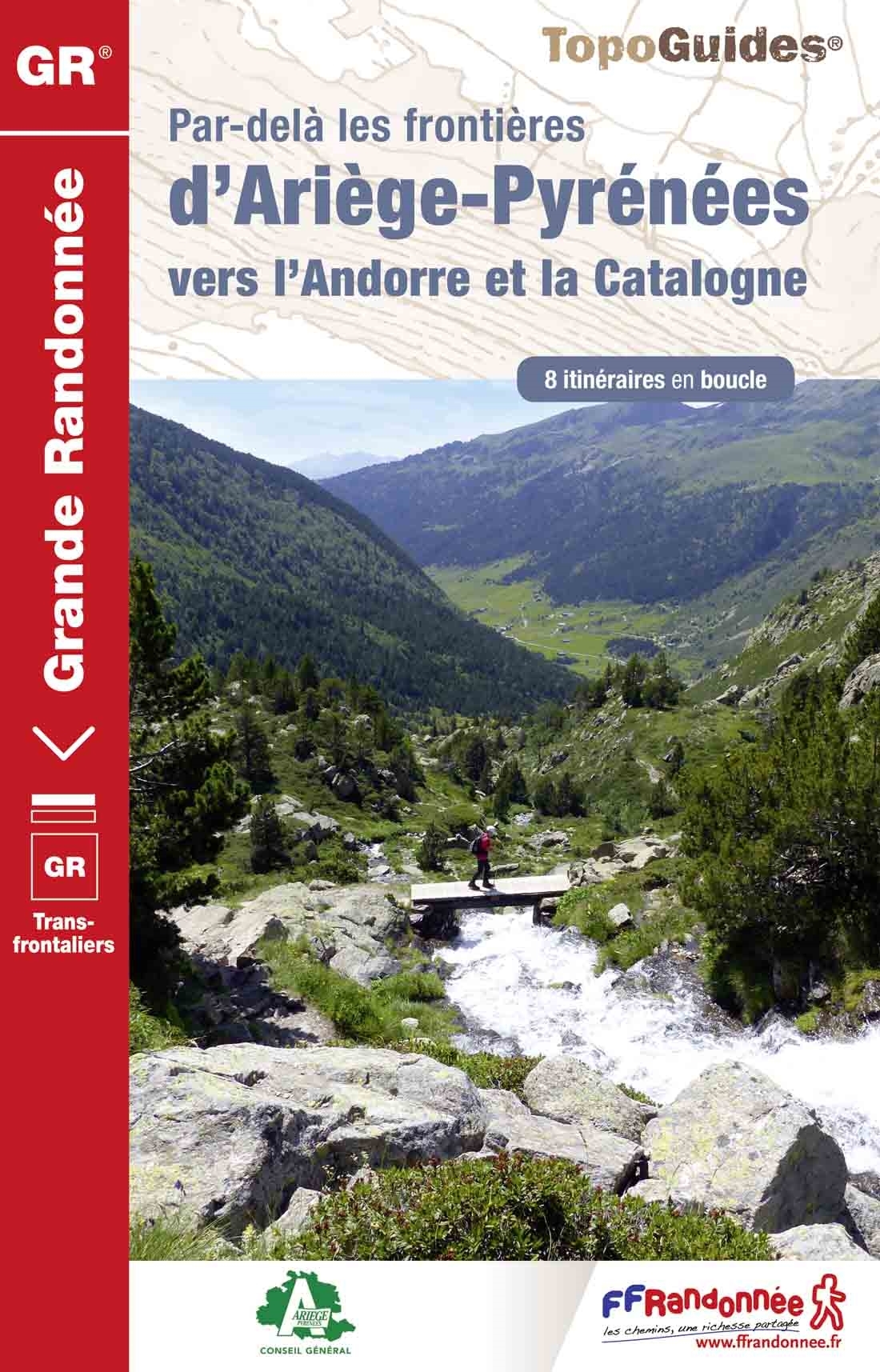
- Wandelgids 1098 Par dela les Frontieres d' Ariège - Pyrenees | FFRP
- Franstalige wandelgids. Uitstekende beschrijving met gedetailleerd kaartmateriaal (topografisch, IGN) en veel praktische informatie over zwaarte, hoogte en hutten. Bijna onmisbaar voor het lopen van deze route. In andere beschrijvingen zijn geen goede kaarten bijgevoegd! Wij leveren er een beknopte Frans-Nederlandse woordenlijst bij. Dans le... Read more
- Also available from:
- Stanfords, United Kingdom

United Kingdom
2015
- GRP: Ariège-Pyrénées – Andorre - Catalogne FFRP Topo-guide No. 1098
- Par-delà les frontiers d’Ariège-Pyrénées vers Andorre et la Catalogne, FFRP topoguide Ref. no. 1098, covering 384kms of trails in eight cross-border circuits in the Pyrenees between 36kms and 72kms long. The routes include a 70kms tour in the footsteps of Charlemagne, a 44kms Three Nations circuit, etc. Current edition of this title was... Read more


Netherlands
2022
Netherlands
2015
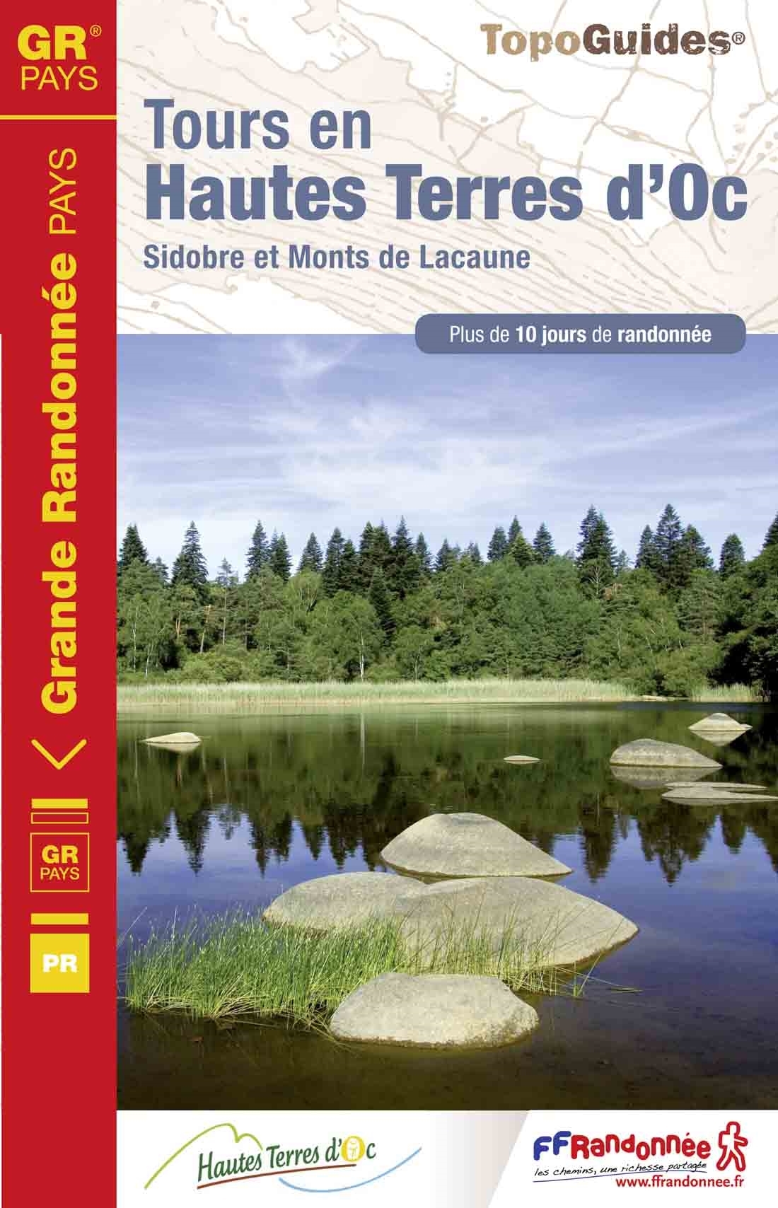
- Wandelgids 811 Tours en Hautes Terres d'Oc | FFRP
- Uitstekende routegids met gedetailleerde kaarten en een routebeschrijving. Fout lopen wordt op deze manier wel erg moeilijk. Met symbolen is weergegeven welke voorzieningen (openbaar vervoer / winkels / overnachtingen) er zijn langs of bij de route. Een nadeel is dat de daadwerkelijke adressen dan weer niet altijd genoemd worden. Alle gidsen... Read more
- Also available from:
- Stanfords, United Kingdom

United Kingdom
2015
- GR de Pays: Tours en Hautes Terres d`Oc FFRP Topo-guide No. 811
- Tours en Hautes Terres d`Oc, FFRP topoguide Ref. No. 811, covering a 230km circular route in the Parc Naturel Régional du Haut-Languedoc, with additional descriptions of 14 day walks in the region. Current edition of this title was published in July 2015.ABOUT THE FFRP (Fédération française de la randonnée pédestre) TOPOGUIDES: published in a... Read more
Kaarten

Netherlands
2016
- Wandelgids The Cretan Way E4 | Anavasi
- The Cretan Way is a 500km walking route which takes you from east to west across the varied and spectacular landscapes of Crete. It is the ideal way to discover the rural, mountainous and costal regions of this incredible island. This guide is based on a 28-day walk.This guide includes practical information, maps at a scale of 1:25.000 of... Read more
- Also available from:
- Stanfords, United Kingdom

United Kingdom
2016
- The Cretan Way - A 28 Day Walk
- The Cretan Way is a 500km walking route which takes you from east to west across the varied and spectacular landscapes of Crete. It is the ideal way to discover the rural, mountainous and costal regions of this incredible island. This guide is based on a 28-day walk.This guide includes practical information, maps at a scale of 1:25.000 of... Read more

Netherlands
2020
- Wandelatlas - Pelgrimsroute (kaart) 161 Chemins de Compostelle GR65 | Michelin
- Véritable petit atlas détaillant chaque étape avec indications précises concernant les villes de départ et d'arrivée ainsi que pour les localités traversées (auberges, refuges, restaurants, pharmacies, gare, épiceries, Km parcourus, Km restants....).Ce petit atlas suit le chemin du... Read more

Netherlands
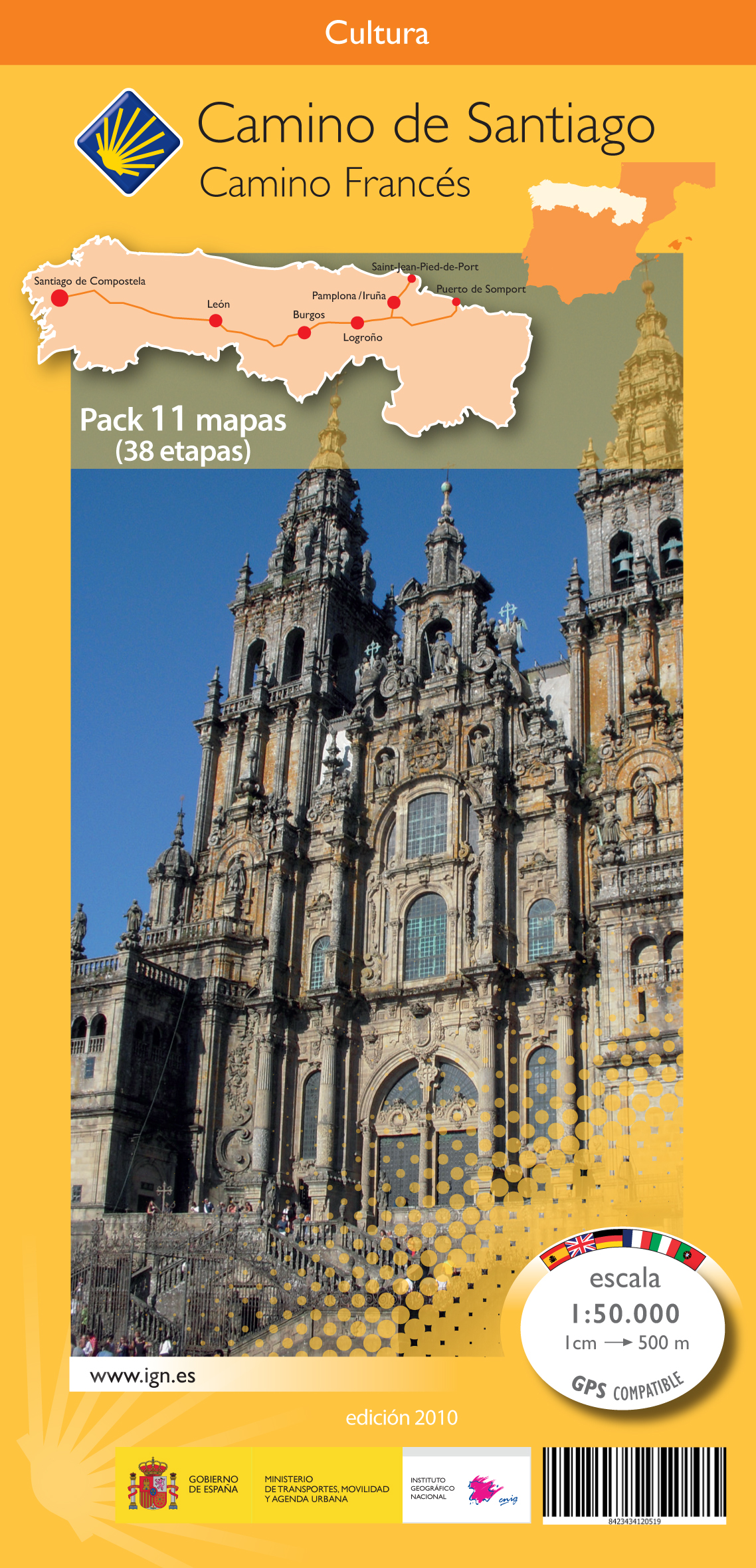
- Pelgrimsroute (kaart) - Wandelkaart Camino de Santiago in Spanje | CNIG - Instituto Geográfico Nacional
- All roads leading to Santiago de Compostela in the Iberian Peninsula are represented on this Caminos de Santiago / The Way of St. James Map. Routes highlighted on a physical map of the Iberian Peninsula at 1:1,250,000 from IGN/CNIG, Spain civilian topographic survey organization. The base map with altitude colouring and relief shading provides... Read more
- Also available from:
- Stanfords, United Kingdom

United Kingdom
- Caminos de Santiago / Ways of St. James on the Iberian Peninsula CNIG Overview Map
- All roads leading to Santiago de Compostela in the Iberian Peninsula are represented on this Caminos de Santiago / The Way of St. James Map. Routes highlighted on a physical map of the Iberian Peninsula at 1:1,250,000 from IGN/CNIG, Spain civilian topographic survey organization. The base map with altitude colouring and relief shading provides... Read more

Netherlands
- Wandelkaart - Pelgrimsroute (kaart) 133 Spanischer Jakobsweg | Kompass
- The main route of the Way of St James to Compostela across northern Spain presented at 1:100,000 on a durable, waterproof and tear-resistant map from Kompass, arranged as 26 separate strips, each with a route profile, plus additional street plans of central Logro Read more
- Also available from:
- Stanfords, United Kingdom

United Kingdom
- The Way of St. James to Compostela: Spanish Section
- The main route of the Way of St James to Compostela across northern Spain presented at 1:100,000 on a durable, waterproof and tear-resistant map from Kompass, arranged as 26 separate strips, each with a route profile, plus additional street plans of central Logroño, Burgos, León and Santiago itself.The whole route is covered on 26 panels, each... Read more
Netherlands
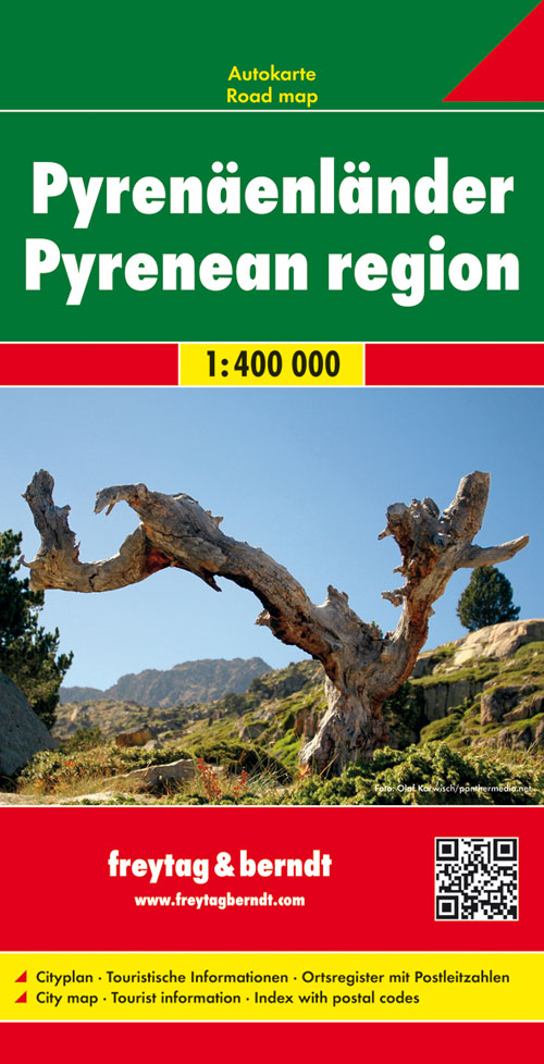
- Wegenkaart - landkaart Pyreneeën Landen | Freytag & Berndt
- Pyrenäenländer 1 : 400 000. Autokarte ab 10.9 EURO Touristische Informationen. Citypläne. Ortsregister mit Postleitzahlen Freytag & Berndt Autokarte. Neuauflage, Laufzeit bis 2018 Read more
- Also available from:
- Stanfords, United Kingdom

United Kingdom
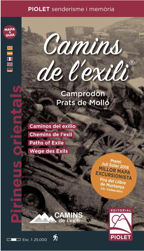
- Paths of Exile - Camprodon - Prats de Molló Editorial Piolet Map + Travel Notebook
- The republican exile at the end of the Spanish Civil War and the Jewish exodus during World War II are the main thread of this cross-border circular trek.They are 60 km of half a mountain that follow the paths used by the Republican exiles (1939) and the Jews fleeing from Nazi barbarism (1940-1945) and where the author (Carlos Treviño) tries to... Read more
Netherlands
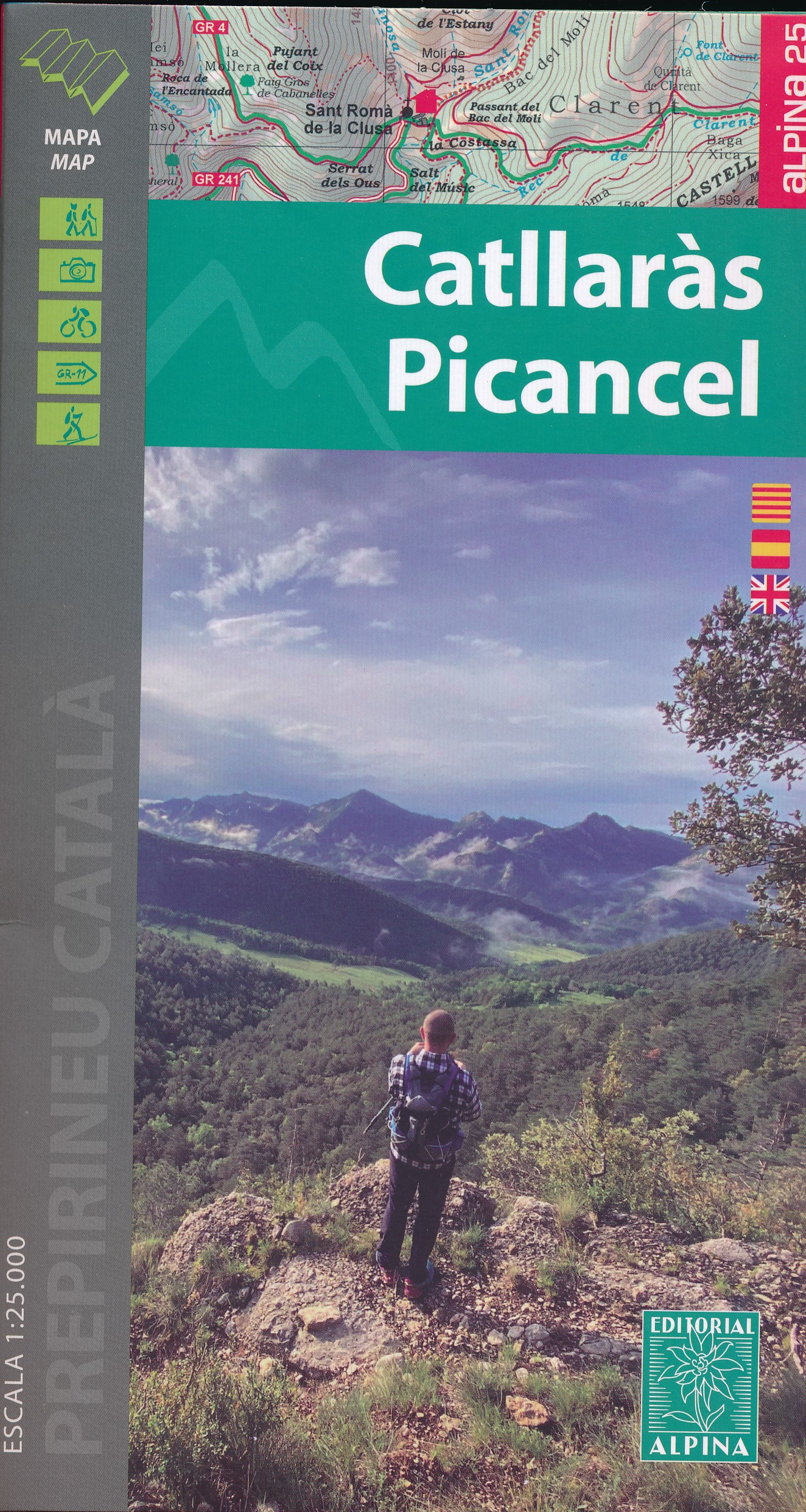
- Wandelkaart 39 Catllaràs Picancel | Editorial Alpina
- Catllaràs Picancel in an extensive and very popular series of walking maps from Editorial Alpina covering the Pyrenees, Catalonia and other selected hiking areas in Spain, including Picos de Europa, Sierra Nevada and parts of Andalucía, Majorca, etc. Scales vary from 1:50,000 to 1:10,000, with the majority of the titles at 1:25,000. The maps... Read more
- Also available from:
- Stanfords, United Kingdom

United Kingdom
- Catllaràs - Picancel Editorial Alpina
- Catllaràs Picancel in an extensive and very popular series of walking maps from Editorial Alpina covering the Pyrenees, Catalonia and other selected hiking areas in Spain, including Picos de Europa, Sierra Nevada and parts of Andalucía, Majorca, etc. Scales vary from 1:50,000 to 1:10,000, with the majority of the titles at 1:25,000. The maps... Read more
Netherlands
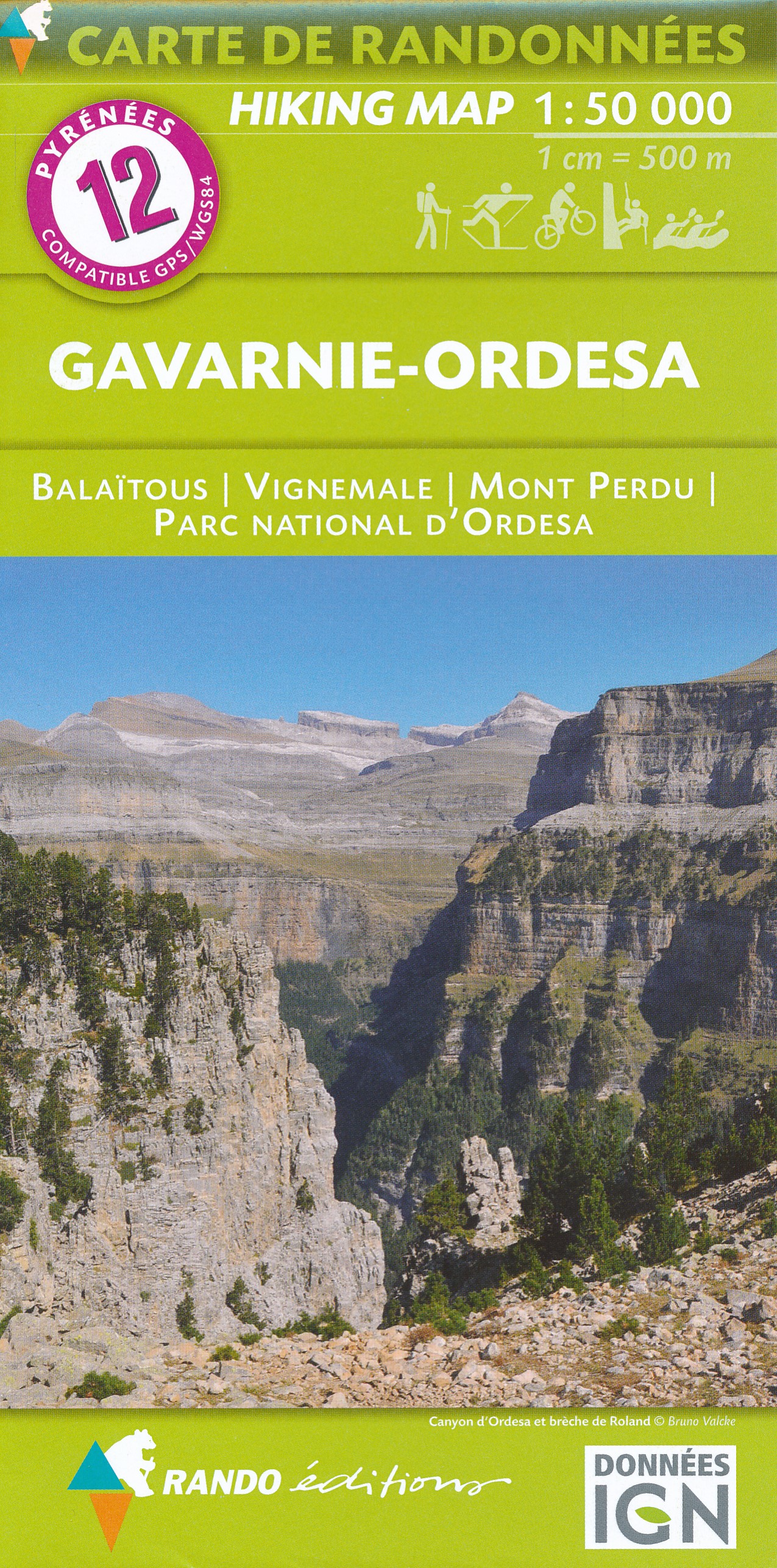
- Wandelkaart 12 Gavarnie - Ordesa | Rando Editions
- Uitstekende wandelkaart met veel toeristische informatie en bijzonder gedetailleerd. Wandelroutes en hutten / campings zijn ingetekend, met hoogtelijnen. GPS Compatible Met Balaitous, Vignemale, Mont Perdu, Parc National d' Ordesa IGN based cartography Topography shown by hill shading and contours Hiking and biking routes Refuges and other... Read more
Netherlands
- Also available from:
- Stanfords, United Kingdom

United Kingdom
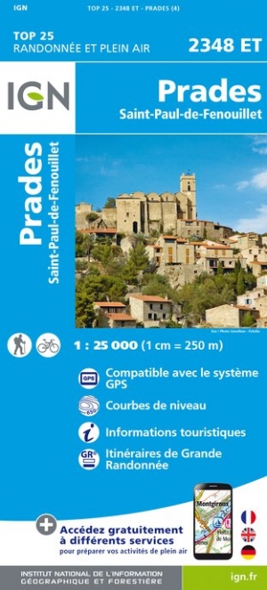
- Prades - Saint-Paul-de-Fenouillet IGN 2348ET
- Topographic survey of France at 1:25,000 in IGN`s excellent TOP25 / Série Bleue series. All the maps are GPS compatible, with a 1km UTM grid plus latitude and longitude lines at 5’ intervals. Contours are at 5m intervals except for mountainous areas where the maps have contours at 10m intervals, vividly enhanced by hill shading and graphics for... Read more
Netherlands
- Also available from:
- Stanfords, United Kingdom

United Kingdom
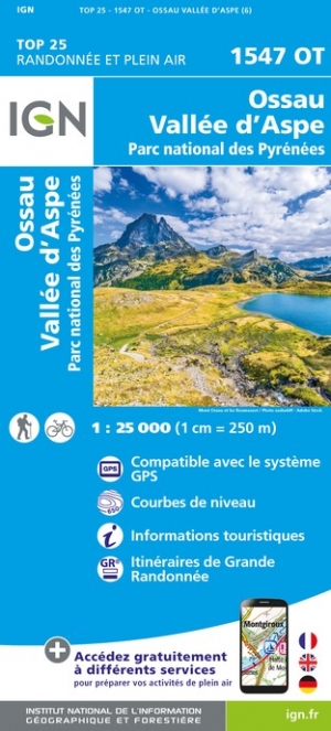
- Ossau - Vallee d`Aspe - Parc National des Pyrenees IGN 1547OT
- Between 2014 and 2019, the IGN renewed its entire Serie Bleue collection.A new map for optimal readability, with better geometric precision and enriched tourist information.A new format twice as large: the format of the new Serie Bleue is equivalent to that of the Top 25 and the number of references will thus be divided by 2.For most maps, the... Read more
Netherlands
- Also available from:
- Stanfords, United Kingdom

United Kingdom
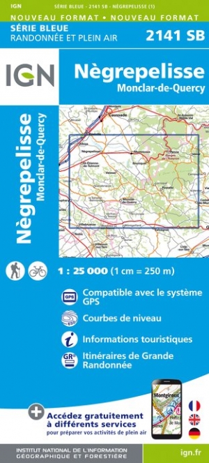
- Negrepelisse - Monclar-de-Quercy IGN 2141SB
- Topographic survey of France at 1:25,000 in IGN`s excellent TOP25 / Série Bleue series. All the maps are GPS compatible, with a 1km UTM grid plus latitude and longitude lines at 5’ intervals. Contours are at 5m intervals except for mountainous areas where the maps have contours at 10m intervals, vividly enhanced by hill shading and graphics for... Read more
Netherlands
2018

Netherlands
- Wandelkaart - Fietskaart - Wegenkaart - landkaart 449 Central Crete - Kreta centraal | Terrain maps
- Central Crete at 1:100,000 on an indexed, GPS compatible road map from Terrain Editions, printed on light, waterproof and tear-resistant plastic paper, with street plans of central Heraklion and Rethymno.This title is part of a series which covers Crete in three sheets. The maps have contours at 100m intervals, enhanced by relief shading with... Read more
- Also available from:
- Stanfords, United Kingdom

United Kingdom
- Central Crete Terrain Editions 449
- Central Crete at 1:100,000 on an indexed, GPS compatible road map from Terrain Editions, printed on light, waterproof and tear-resistant plastic paper, with street plans of central Heraklion and Rethymno.This title is part of a series which covers Crete in three sheets. The maps have contours at 100m intervals, enhanced by relief shading with... Read more
Netherlands
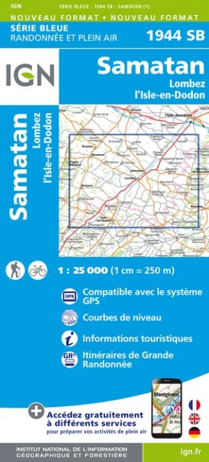
- Wandelkaart - Topografische kaart 1944SB Samatan | IGN - Institut Géographique National
- Topographic survey of France at 1:25,000 in IGN`s excellent TOP25 / S�rie Bleue series. All the maps are GPS compatible, with a 1km UTM grid plus latitude and longitude lines at 5� intervals. Contours are at 5m intervals except for mountainous areas where the maps have contours at 10m intervals, vividly enhanced by hill shading and graphics for ... Read more
- Also available from:
- Stanfords, United Kingdom

United Kingdom
- Samatan - Lombez - l`Isle-en-Dodon IGN 1944SB
- Topographic survey of France at 1:25,000 in IGN`s excellent TOP25 / Série Bleue series. All the maps are GPS compatible, with a 1km UTM grid plus latitude and longitude lines at 5’ intervals. Contours are at 5m intervals except for mountainous areas where the maps have contours at 10m intervals, vividly enhanced by hill shading and graphics for... Read more