
Bayern
Beschrijving
Paden in deze landsdeel
- AlemannenwegGPX
- Alpen Weitwanderweg
- Altmühltal PanoramawegGPX
- Badener Weg
- BöhmwegGPX
- Bodensee RundwegGPX
- BurgenwegGPX
- Burgundenweg
- DonausteigGPX
- E6GPX
- E8GPX
- ErzwegGPX
- EselswegGPX
- Europäische Wasserscheideweg
- FrankenwegGPX
- Frankenweg (Schwäbischer Albverein)GPX
- Frankenweg Odenwald
- Fränkischer GebirgswegGPX
- Fränkischer Rotwein WanderwegGPX
- GlasschleifererwegGPX
- GoethewegGPX
- GoldsteigGPX
- GunthersteigGPX
- Höhenweg Fichtelgebirge
- Höhenweg Steinwaldweg
- Heilbronner HöhenwegGPX
- Hessenweg 3GPX
- Hessenweg 5GPX
- Hessenweg 9GPX
- HochrhönerGPX
- HohenzollernwegGPX
- JurasteigGPX
- König LudwigwegGPX
- Kelten ErlebniswegGPX
- KunigundenwegGPX
- Lech Höhenweg
- LechwegGPX
- Main-WerrawegGPX
- Maintal Höhenringweg
- MaximilianswegGPX
- NordwaldkammwegGPX
- NurtschwegGPX
- Oberallgäuer RundwanderwegGPX
- PandurensteigGPX
- PrälatenwegGPX
- Rhön HöhenwegGPX
- Romantische StrasseGPX
- Schwäbisch Allgäuer WanderwegGPX
- SpessartwegGPX
- Steigerwald PanoramawegGPX
- Stromberg-Schwäbischer Waldweg
- Traumpfad München-VenedigGPX
- Via Claudia AugustaGPX
- Westweg FichtelgebirgeGPX
- ZeugenbergrundeGPX
Links
Feiten
Verslagen
Gidsen en kaarten
Overnachting
Organisaties
Reisorganisaties
GPS
Anders
Boeken
De Zwerver
Netherlands
2021
Netherlands
2021
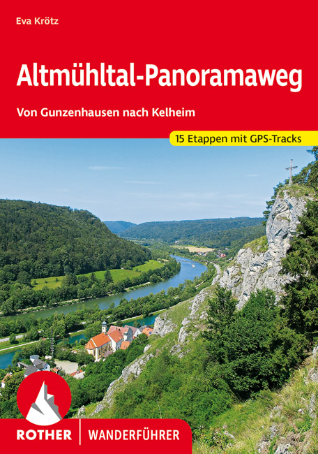
- Wandelgids Altmühltal-Panoramaweg | Rother Bergverlag
- Von Gunzenhausen nach Kelheim. 15 Etappen. Mit GPS-Daten Rother Wanderbuch Read more
De Zwerver
Netherlands
2013
Netherlands
2013
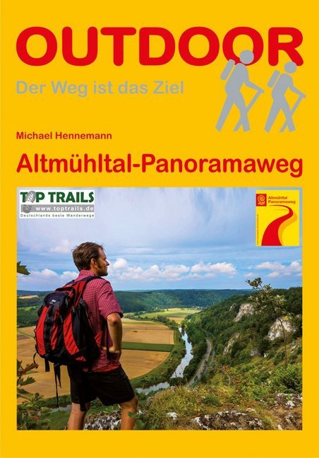
- Wandelgids Altmühltal-Panoramaweg | Conrad Stein Verlag
- Der Weg ist das Ziel. 1. Auflage. Read more

De Zwerver
Netherlands
2022
Netherlands
2022
- Klimgids - Klettersteiggids Bayern, Vorarlberg, Tirol, Salzburg | Rother Bergverlag
- 92 Klettersteige zwischen Rhein und Salzach Rother Wanderführer. 10., vollständig neu bearbeitete Auflage. Read more

De Zwerver
Netherlands
2013
Netherlands
2013
- Wandelgids Münchner Wanderberge | Rother Bergverlag
- De ‘Rother Wanderbücher’ behandelen telkens de 50 mooiste wandelingen, die variëren van eenvoudige kindvriendelijke wandelingen tot routes die aanzienlijk meer ervaring vereisen. Uitvoerige routebeschrijvingen, een aantrekkelijke lay-out met vele kleurenfoto’s, niets aan duidelijkheid te wensen gelaten hoogteprofielen, kaartjes met de... Read more
De Zwerver
Netherlands
2021
Netherlands
2021
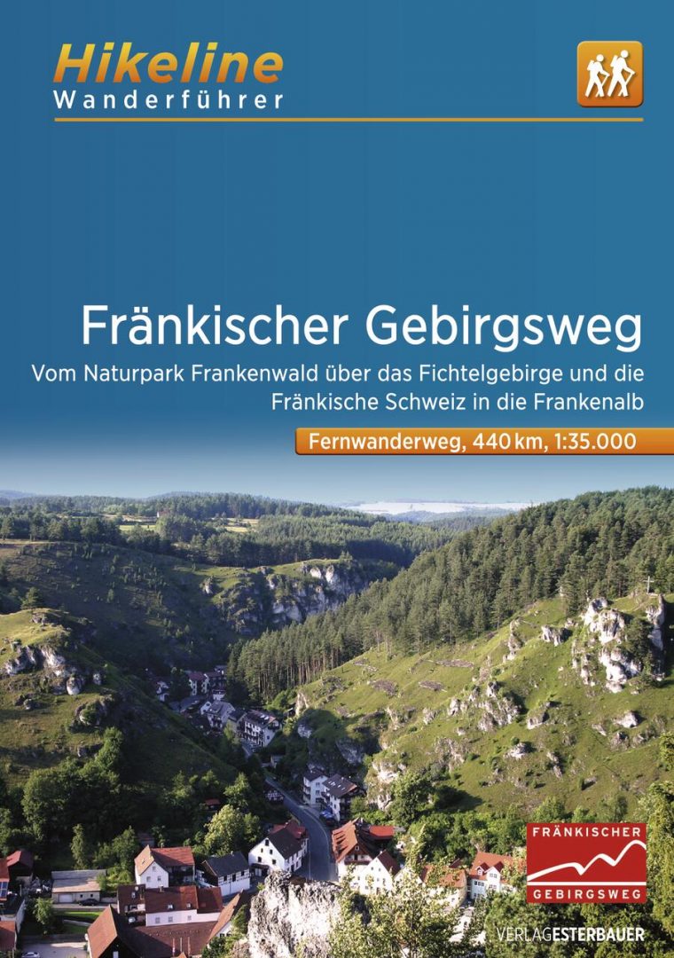
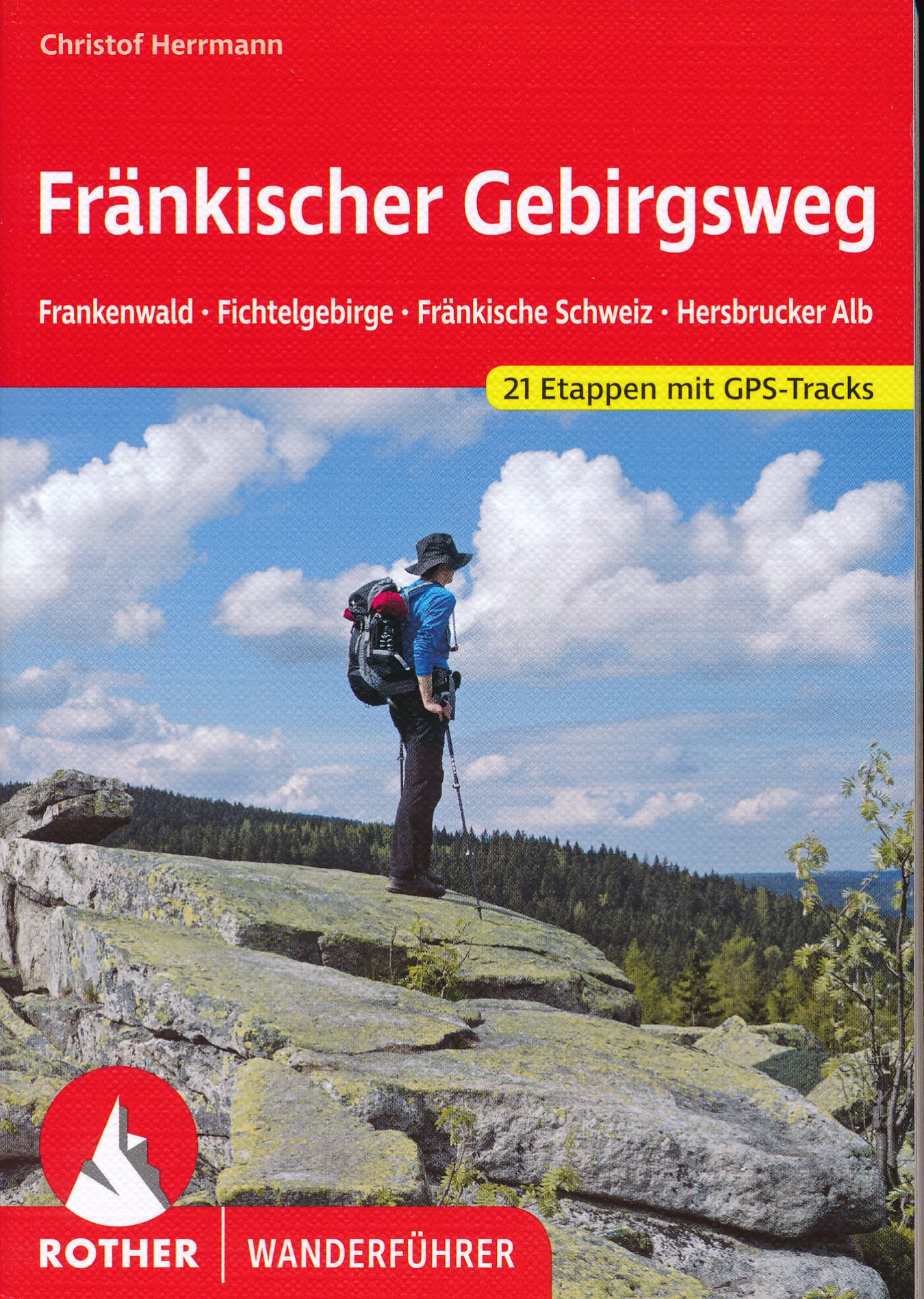
- Wandelgids Fränkischer Gebirgsweg | Rother Bergverlag
- 160 Seiten mit 85 Farbabbildungen, 21 Höhenprofile, 21 Wanderkärtchen im Maßstab 1:100.000, eine Übersichtskarte im Maßstab 1:700.000, GPS-Tracks zum Download Ausgezeichnet als »Qualitätsweg Wanderbares Deutschland«! Vom Frankenwald über das Fichtelgebirge und die Fränkische Schweiz zum Nürnberger Land – der Fränkische Gebirgsweg zählt zu den... Read more
De Zwerver
Netherlands
2012
Netherlands
2012
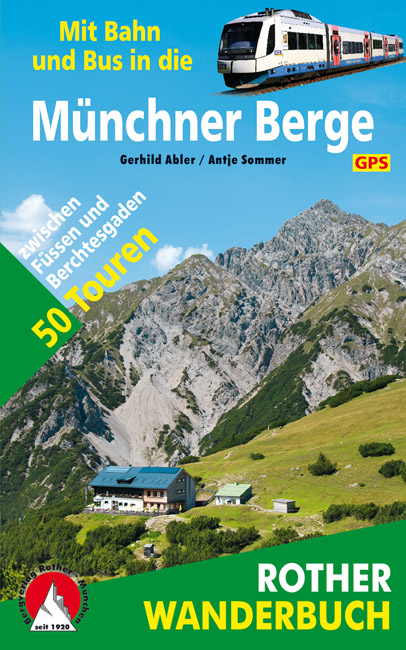
- Wandelgids Münchner Berge mit Bahn und Bus | Rother Bergverlag
- Beschrijving van vijftig bergwandelingen in het Zuid-Duitse Alpengebied die bereikbaar zijn per openbaar vervoer vanaf München. De ‘Rother Wanderbücher’ behandelen telkens de 50 mooiste wandelingen, die variëren van eenvoudige kindvriendelijke wandelingen tot routes die aanzienlijk meer ervaring vereisen. Uitvoerige routebeschrijvingen, een... Read more
De Zwerver
Netherlands
2023
Netherlands
2023
De Zwerver
Netherlands
2010
Netherlands
2010
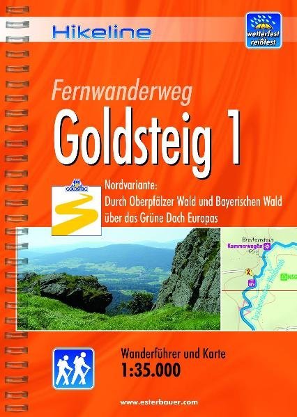
- Wandelgids Hikeline Goldsteig 1 | Esterbauer
- Handzame gids met een goede beschrijving van een meerdaagse tocht in dit gebied. De gids is in spiraalbinding en elke pagina is op scheur- en watervast papier gedrukt. Daar is echt over nagedacht! Der Goldsteig mit seinen beiden Varianten, zugleich Qualitätsweg Wanderbares Deutschland und einer der „Top Trails of Germany“, ist mit insgesamt ca.... Read more
De Zwerver
Netherlands
2021
Netherlands
2021
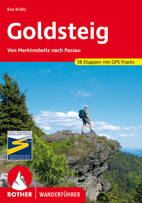
- Wandelgids 118 Goldsteig - Von Marktredwitz nach Passau | Rother Bergverlag
- Uitstekende wandelgids van de Goldsteig route in 38 etappes, van Marktredwitz naar Passau. Met voldoende en duidelijke informatie en goed kaartmateriaal. 200 Seiten mit 100 Farbabbildungen, 38 Höhenprofile, 38 Wanderkärtchen im Maßstab 1:75.000, eine Übersichtskarte Im August 2007 ist der Startschuss für den neuen, rund 660 km langen... Read more
De Zwerver
Netherlands
2022
Netherlands
2022
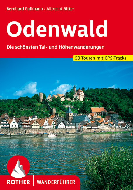
- Wandelgids Odenwald | Rother Bergverlag
- Uitstekende wandelgids met een groot aantal dagtochten in dal en hooggebergte. Met praktische informatie en beperkt kaartmateriaal! Wandelingen in verschillende zwaarte weergegeven in rood/blauw/zwart. Der Odenwald, der von der Bergstraße, dem Neckar und dem Main begrenzt wird, bietet einen reichen Schatz an Natur und Kultur. Neben den... Read more

De Zwerver
Netherlands
2011
Netherlands
2011
- Wandelgids Hikeline Rund um die Zugspitze | Esterbauer
- Handzame gids met een goede beschrijving van een groot aantal dagtochten in dit gebied. De gids is in spiraalbinding en elke pagina is op scheur- en watervast papier gedrukt. Daar is echt over nagedacht! Streckencharakteristik Länge, Höhenmeter und Etappen Die insgesamt 50 Touren dieses Buches decken eine große Bandbreite von kurzen... Read more
Meer boeken…

Kaarten

De Zwerver
Netherlands
Netherlands
- Wandelkaart 4 Stara Planina gebergte | Domino
- Stara Planina Western: Berkovita to Zlatitsa map at 1:50,000 from Bulgarian publishers Domino, contoured and GPS compatible, with hiking trails, accommodation options including a list of local mountain refuges, etc. The map is double-sided and covers the mountains from Varshets (directly north of Sofia) to just beyond Etrepole.Maps in the... Read more
- Also available from:
- Stanfords, United Kingdom

Stanfords
United Kingdom
United Kingdom
- Stara Planina Western: Berkovita to Zlatitsa Domino Map
- Stara Planina Western: Berkovita to Zlatitsa map at 1:50,000 from Bulgarian publishers Domino, contoured and GPS compatible, with hiking trails, accommodation options including a list of local mountain refuges, etc. The map is double-sided and covers the mountains from Varshets (directly north of Sofia) to just beyond Etrepole.Maps in the... Read more
De Zwerver
Netherlands
Netherlands
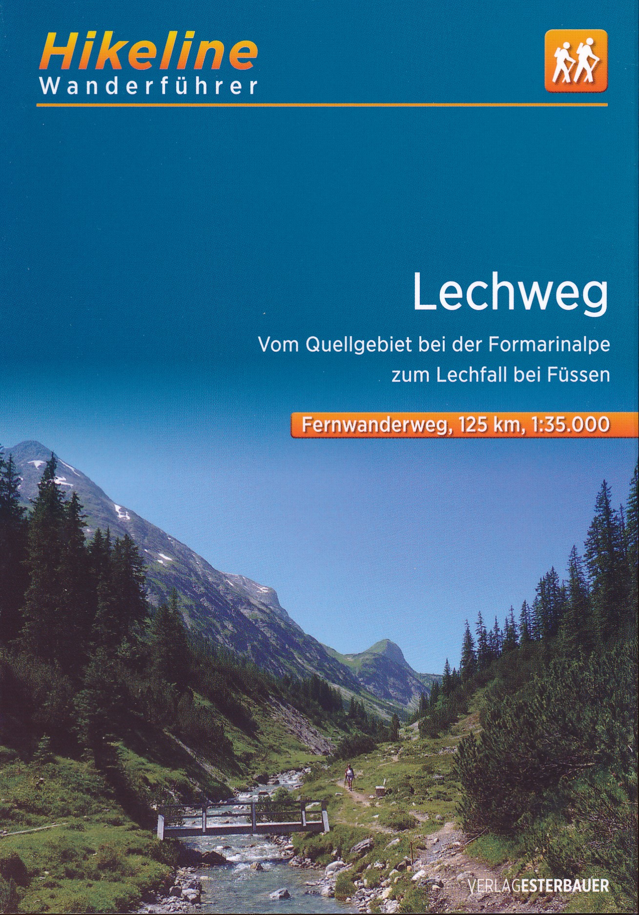
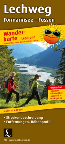
- Wandelkaart 728 Lechweg | Publicpress
- Mit Streckenbeschreibung, Entfernungen, Höhenprofil. Karte ohne Jahresangabe. Read more

De Zwerver
Netherlands
Netherlands
- Wandelkaart - Topografische kaart 24 UK50 Naturpark Altmühltal - Mittlerer Teil | LVA Bayern
- The middle part of the Altmühl Valley Regional Park, map no. 50-24, in a series of special contoured and GP-compatible recreational maps from the Bavarian state survey organization, with cartography of the German topographic survey at 1:50,000 and extensive additional tourist overprint highlighting waymarked hiking trails and cycling routes,... Read more
- Also available from:
- Stanfords, United Kingdom

Stanfords
United Kingdom
United Kingdom
- Altmuhltal NP Central UK50-24
- The middle part of the Altmühl Valley Regional Park, map no. 50-24, in a series of special contoured and GP-compatible recreational maps from the Bavarian state survey organization, with cartography of the German topographic survey at 1:50,000 and extensive additional tourist overprint highlighting waymarked hiking trails and cycling routes,... Read more
De Zwerver
Netherlands
Netherlands
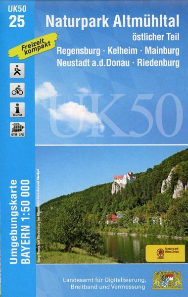
- Wandelkaart 25 UK50 Bayern Naturpark Altmühltal, östlicher Teil | LVA Bayern
- The eastern part of the Altmühl Valley Regional Park and the western environs of Regensburg, map no. 50-25 covering an area which includes Parsberg, Riedenburg, Mainburg and Kehlheim, in a series of special contoured and GP-compatible recreational maps from the Bavarian state survey organization, with cartography of the German topographic... Read more
- Also available from:
- Stanfords, United Kingdom

Stanfords
United Kingdom
United Kingdom
- Altmuhltal NP East UK50-25
- The eastern part of the Altmühl Valley Regional Park and the western environs of Regensburg, map no. 50-25 covering an area which includes Parsberg, Riedenburg, Mainburg and Kehlheim, in a series of special contoured and GP-compatible recreational maps from the Bavarian state survey organization, with cartography of the German topographic... Read more
De Zwerver
Netherlands
Netherlands
De Zwerver
Netherlands
Netherlands
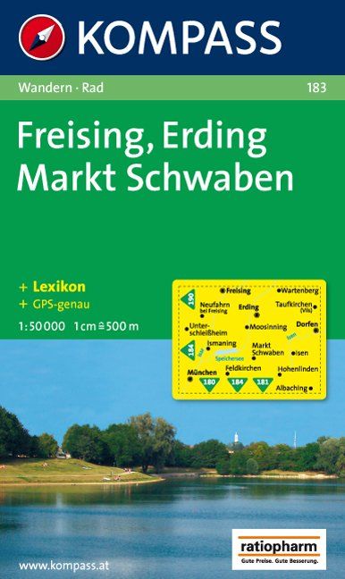
- Wandelkaart 183 Freising - Erding - Markt Schwaben | Kompass
- Goede wandelkaart met vrijwel alle topografische details en ingetekende routes. Ook met symbolen voor toeristische bezienswaardigheden, register. Berghutten duidelijk weergegeven. Gevaarlijke wandelroutes zijn goed herkenbaar. GPS toepasbaar Read more
De Zwerver
Netherlands
Netherlands
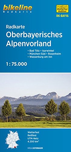
- Fietskaart BAY16 Bikeline Radkarte Oberbayerisches Alpenvorland | Esterbauer
- Bikeline Radkarte Oberbayerisches Alpenvorland 1 : 75 000 ab 7.9 EURO Bad Tölz - Isarwinkel - München-Süd - Rosenheim - Wasserburg am Inn Bikeline Radkarte Bayern. 2. überarbeitete Auflage Read more

De Zwerver
Netherlands
Netherlands
- Wandelkaart 2.4 Nafpaktos - Panaitoliko - Karpenisi | Anavasi
- Prespa - Vitsi – Voras area of northern Greece at 1:50,000 on a light, waterproof and tear-resistant, GPS compatible, contoured map from Anavasi, with recommendations for three hiking trails and notes on the E4 and E6 cross-European trails. The map is double-sided; coverage in the west starts from the Prespa Lake on the border with Albania and... Read more
De Zwerver
Netherlands
Netherlands
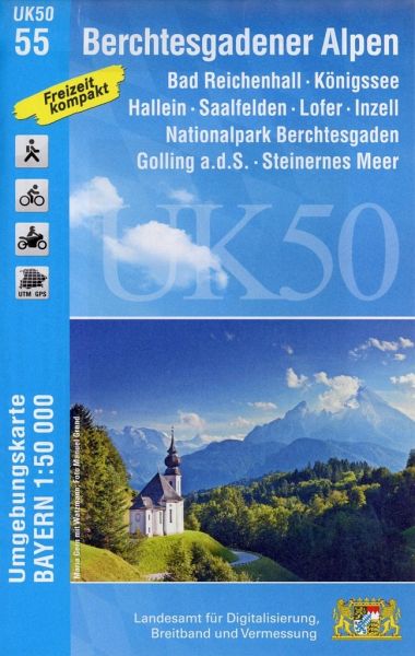
- Wandelkaart 55 UK50 Bayern Berchtesgadener Alpen | LVA Bayern
- Berchtesgaden Alps: Königssee - Bad Reichenhall area, map no. 50-55 including Hallein, Lofer and Saalfelden, in a series of special contoured and GP-compatible recreational maps from the Bavarian state survey organization, with cartography of the German topographic survey at 1:50,000 and extensive additional tourist overprint highlighting... Read more
- Also available from:
- Stanfords, United Kingdom

Stanfords
United Kingdom
United Kingdom
- Berchtesgaden Alps - Bad Reichenhall - Konigssee UK50-55
- Berchtesgaden Alps: Königssee - Bad Reichenhall area, map no. 50-55 including Hallein, Lofer and Saalfelden, in a series of special contoured and GP-compatible recreational maps from the Bavarian state survey organization, with cartography of the German topographic survey at 1:50,000 and extensive additional tourist overprint highlighting... Read more

De Zwerver
Netherlands
Netherlands
- Wandelkaart 5 Rila gebergte | Domino
- Rila Mountains at 1:50,000 on a large, double-sided, contoured map with GPS waypoints for shelters and chalets, peaks, etc. and highlighting hiking routes. Topography is shown by contours at 50m intervals with additional relief shading and graphics and colouring for scree, single rocks over 5m high, marshlands and pine scrub and forests. An... Read more
- Also available from:
- Stanfords, United Kingdom

Stanfords
United Kingdom
United Kingdom
- Rila Mountains Domino
- Rila Mountains at 1:50,000 on a large, double-sided, contoured map with GPS waypoints for shelters and chalets, peaks, etc. and highlighting hiking routes. Topography is shown by contours at 50m intervals with additional relief shading and graphics and colouring for scree, single rocks over 5m high, marshlands and pine scrub and forests. An... Read more
De Zwerver
Netherlands
Netherlands
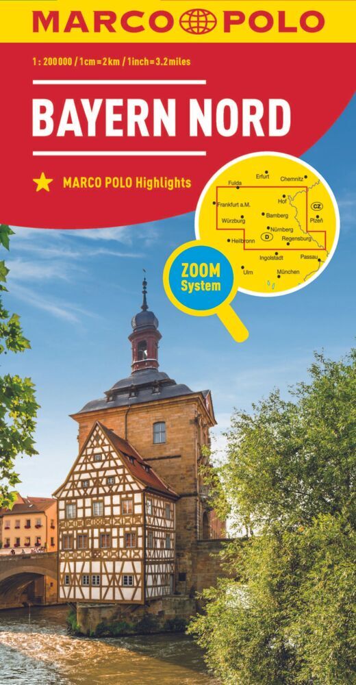
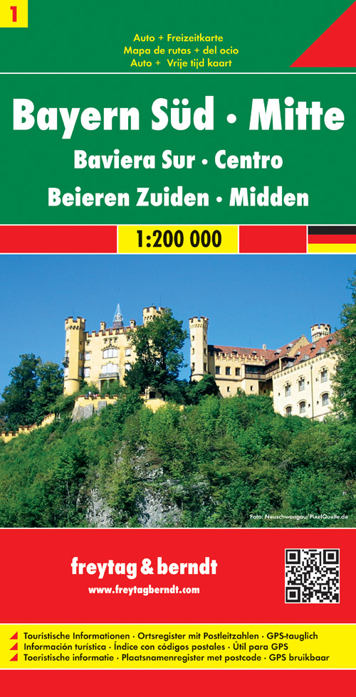
- Wegenkaart - landkaart 01 Beieren zuid - Bayern sud | Freytag & Berndt
- Deutschland 01 Bayern 1. Süd, Mitte 1 : 200 000. Auto- und Freizeitkarte ab 10.9 EURO Touristische Informationen, Ortsregister mit Postleitzahlen, GPS-tauglich Bayern Freytag & Berndt Auto + Freizeitkarte. Neuauflage, Laufzeit bis 2016 Read more
De Zwerver
Netherlands
Netherlands
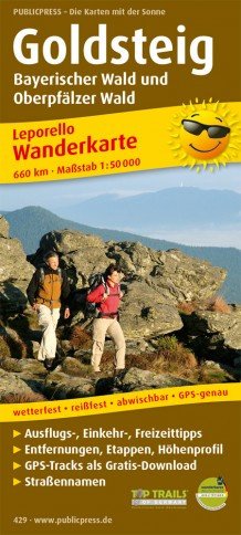
- Wandelkaart Goldsteig | Publicpress
- Mit Ausflugszielen, Einkehr- Freizeittipps, wetterfest, reissfest, abwischbar, GPS-genau. 3. Auflage. Read more

De Zwerver
Netherlands
Netherlands
- Wandelkaart 38 Outdoorkarte Altmühltal | Kümmerly & Frey
- Altmühltal - Eichstätt - Kelheim area of Bavaria at 1:35,000 from Kümmerly+Frey in a series GPS compatible, double-sided maps printed on durable, waterproof and tear-resistant plastic paper; contoured, with hiking and cycle routes, other recreational activities, etc.Maps in this series are at a scale of either 1:50,000 or 1:35,000. Contour... Read more
- Also available from:
- Stanfords, United Kingdom

Stanfords
United Kingdom
United Kingdom
- Altmühltal - Eichstätt - Beilngries - Kelheim K+F Outdoor Map 38
- Altmühltal - Eichstätt - Kelheim area of Bavaria at 1:35,000 from Kümmerly+Frey in a series GPS compatible, double-sided maps printed on durable, waterproof and tear-resistant plastic paper; contoured, with hiking and cycle routes, other recreational activities, etc.Maps in this series are at a scale of either 1:50,000 or 1:35,000. Contour... Read more

De Zwerver
Netherlands
Netherlands
- Wandelkaart 6 Pirin gebergte | Domino
- Pirin Mountains at 1:50,000 on a large, double-sided, contoured map with GPS waypoints for shelters and chalets, peaks, etc. and highlighting hiking routes. Topography is shown by contours at 40m intervals with additional relief shading and graphics and colouring for sandstone stacks, single rocks over 5m high, marshlands and different types of... Read more
- Also available from:
- Stanfords, United Kingdom

Stanfords
United Kingdom
United Kingdom
- Pirin Mountains Domino
- Pirin Mountains at 1:50,000 on a large, double-sided, contoured map with GPS waypoints for shelters and chalets, peaks, etc. and highlighting hiking routes. Topography is shown by contours at 40m intervals with additional relief shading and graphics and colouring for sandstone stacks, single rocks over 5m high, marshlands and different types of... Read more