
Italië
Beschrijving

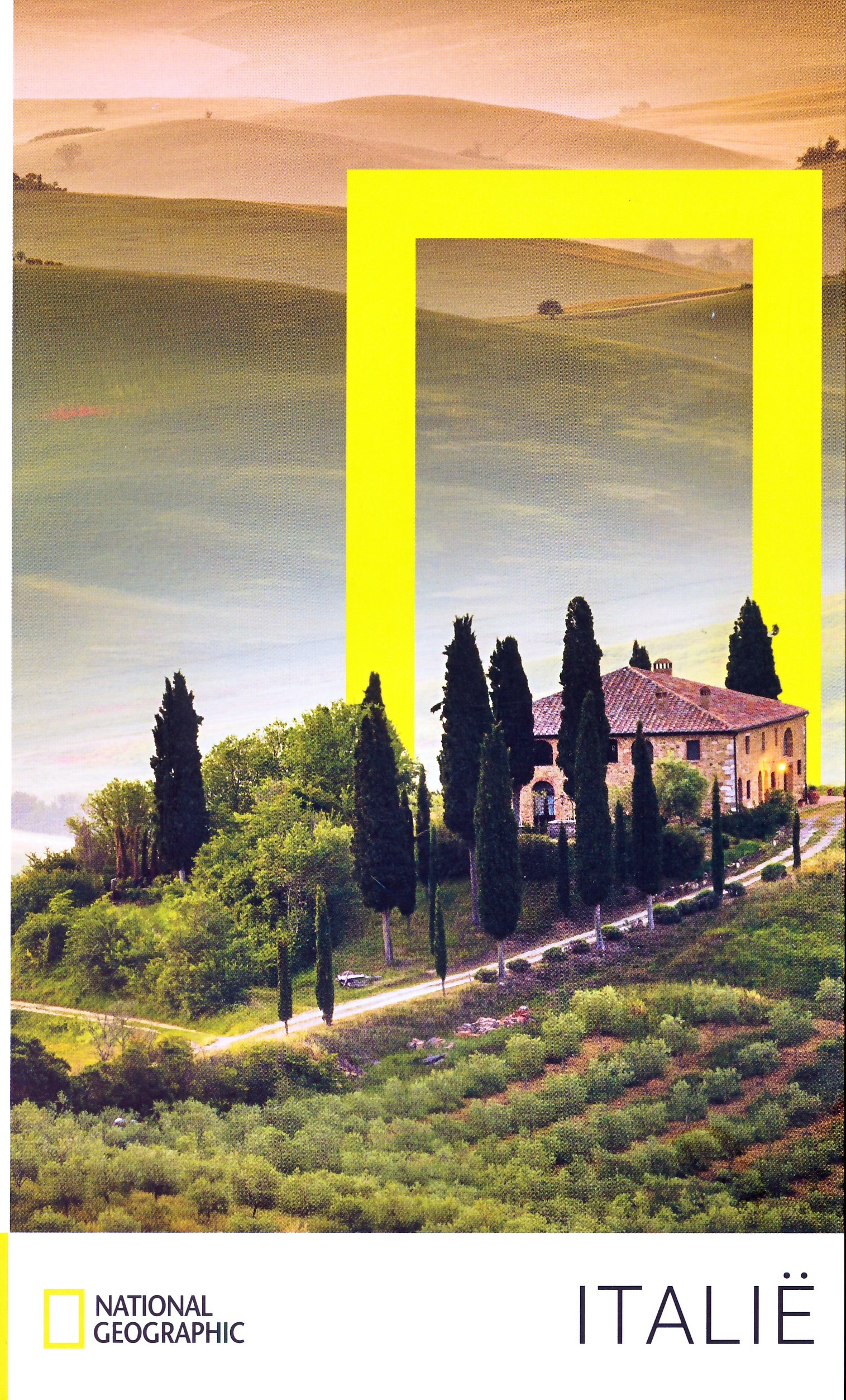
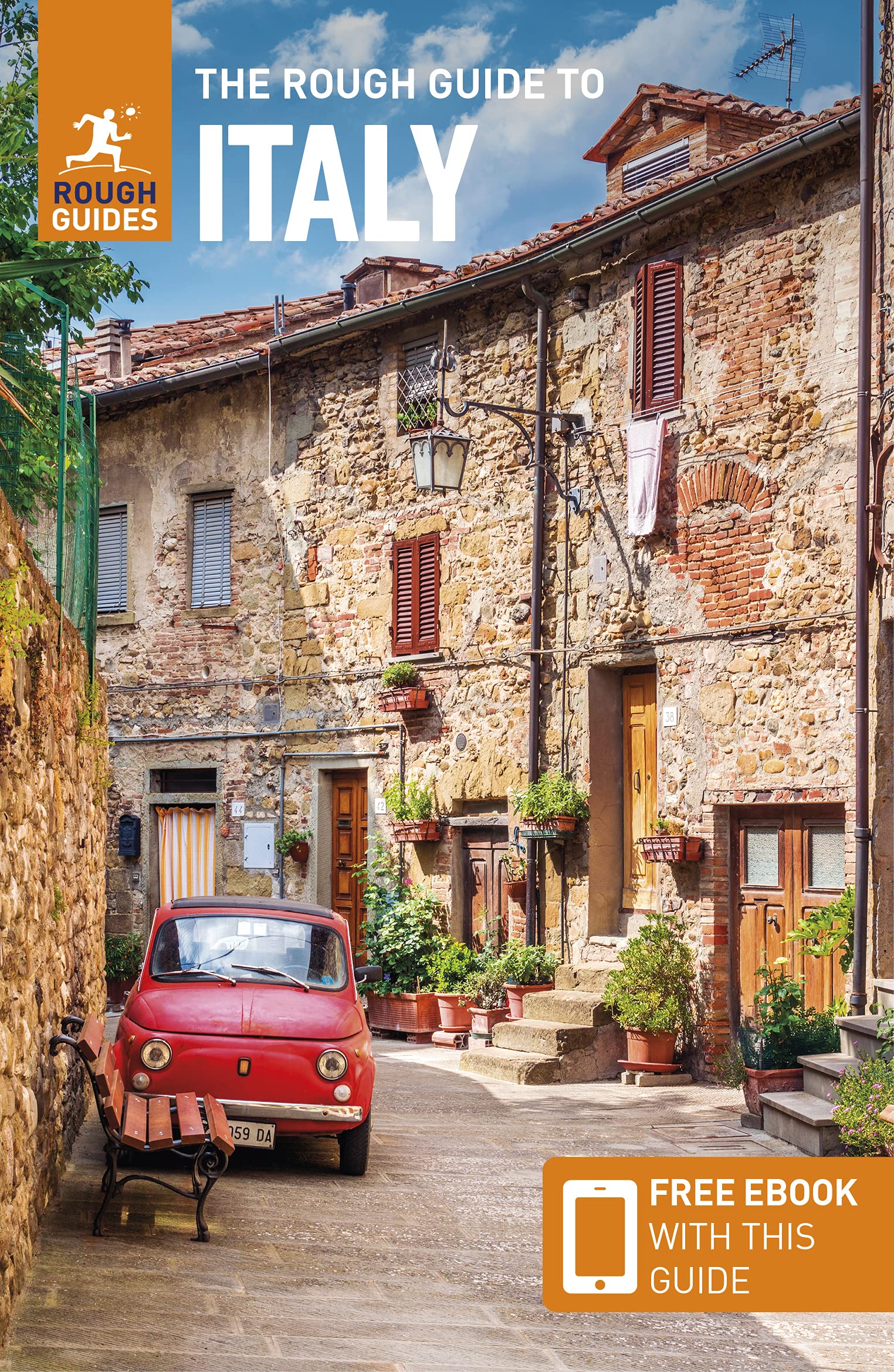
Italy is a country of enormous diversity and contrast. Most famous are the Alps. Coming from the efficient neatness of Switzerland or Austria, the Italian Alps are wilder and at the same time more tranquil, like stepping back in time. The most beautiful and popular areas are Gran Paradiso, Val Grande, Stelvio and the Dolomites.
In addition there are countless national parks, all very much worth hiking through. A series of mountain ranges runs from north to south like a backbone, starting from the hills of Tuscany, to the Apennines and Abruzzo to Italy's toe, Calabria. Southern Italy, too far for many tourists, has several attractive hiking regions, like Pollino and Aspromonte.
In the Alps you can walk from hut to hut, elsewhere you can do day hikes, such is the rule in general. However some genuine long distance hiking trails are under construction. European long distance trail E10 in the Alps, which coincides with the 1000km long Grande Alpine Trail and the international Via Alpina. The second large project is the E1, which coincides with the Grand Apennine Mountains Trail and the Ligurian Mountains High Trail. If this trail is ever completed, you can start from Como passing Genova and continue all the way to Reggio di Calabria and Palermo or Siracuse on Sicily. The third large project means to join all these trails into one 6000km long Sentiero Italia. Last but not least, there is the Alta Via in the Dolomites: splendid walking.
Mountain huts abound in the Alps. Hiking can be done all summer, from June until well into October. Further south spring is the best hiking season. In April you will still get stuck in the snow up in the mountains. Autumn is supposed to be fine as well, but alas, as one hiker put it: "you wake up to the sounds of church bells and gunfire". As hunters, Italians are best avoided.
Kaart


Paden
- Alta Via dei GigantiGPX
- Alta Via dei Monti LiguriGPX
- Alta Via Della Valle d'Aosta No 1
- Alta Via Della Valle d'Aosta No 2
- Alta Via Dolomiti 1GPX
- Alta Via Dolomiti 10
- Alta Via Dolomiti 2GPX
- Alta Via Dolomiti 3GPX
- Alta Via Dolomiti 4GPX
- Alta Via Dolomiti 5
- Alta Via Dolomiti 6GPX
- Alta Via Dolomiti 7
- Alta Via Dolomiti 8
- Alta Via Dolomiti 9
- Bassa Via del GardaGPX
- Cinque Terre
- E1GPX
- E10GPX
- E12GPX
- E5GPX
- E7GPX
- Florence - Siena
- GoethewegGPX
- GR58 - Tour du QueyrasGPX
- Grande Escursione AppenninicaGPX
- Grande Traversata del Gran Paradiso
- Grande Traversata delle AlpiGPX
- Meraner HöhenwegGPX
- Pfunderer HöhenwegGPX
- Santiago de Compostela Pilgrims WayGPX
- Südalpenweg - 3GPX
- SeealpentourGPX
- Sentiero della PaceGPX
- Sentiero ItaliaGPX
- Sentiero Roma
- Tiroler Höhenweg
- TMB - Tour du Mont BlancGPX
- Tour des CombinsGPX
- Tour des Grands Barrages
- Tour du MatterhornGPX
- Tour Monte RosaGPX
- Traumpfad München-VenedigGPX
- Via AlpinaGPX
- Via FrancigenaGPX
- Via SacraGPX
- Via SbrinzGPX
- Via SplugaGPX
- Via ValtellinaGPX
Regios
- Abruzzi
- Adamello
- Aeolian Islands
- Alpi Biellesi e Cusiane
- Alpi di Livigno
- Alpi Liguri
- Alpi Marittime
- Alpi Oróbie e Bergamasche
- Alpi Sarentini
- Alpi Vicentine
- Alps
- Amalfi Coast
- Appennini
- Apulia
- Ötztal
- Bernina
- Brenta
- Calabria
- Cilento
- Defereggengebirge
- Dolomiti
- Dolomiti di Fiemme
- Elba
- Friuli
- Garda
- Gran Paradiso
- Grand Combin
- Julische Alpen
- Karawanken
- Karnischer Alpen
- Lago di Como
- Lago Maggiore
- Liguria
- Lombardia
- Matterhorn
- Moncenisio
- Monginevro
- Mont Blanc
- Monte Leone
- Monte Rosa
- Monti Sibillini
- Monviso
- Nonstaler Alpen
- Ortler
- Paganella
- Platta Gruppe
- Presanella
- Rieserfernergruppe
- Sardinia
- Südtirol
- Sesvenna Gruppe
- Sicilia
- Sobretta
- Stelvio
- Stubai
- Texelgruppe
- Tirol
- Toscana
- Trentino
- Umbria
- Val d'Aosta
- Val Grande
- Val Venosta
- Valle d'Aosta
- Veneto
- Vinschgau
- Zillertal
Bergen


Links
Feiten
Verslagen
Gidsen en kaarten
Overnachting
Organisaties
Reisorganisaties
GPS
Anders
Boeken

Netherlands
2016
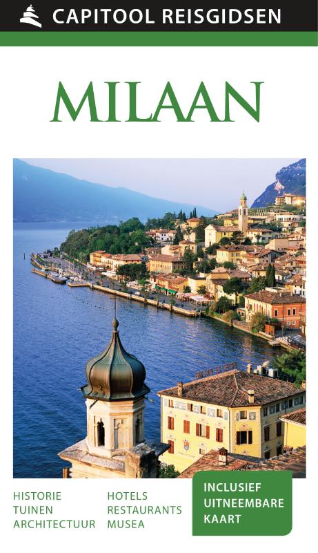
- Reisgids Capitool Reisgidsen Milaan en de meren | Unieboek
- Prachtig geillustreerde reisgids met o.a. 3D tekeningen, fraaie kaarten en geweldige foto’s. Daarnaast uitgebreide achtergrondbeschrijvingen. Echt om in de stemming te komen! Groot formaat gids. De modestad Milaan is, behalve een van de grote financiële en economische metropolen van Europa, ook rijk aan geschiedenis, kunst en architectuur. De... Read more
Netherlands
2017
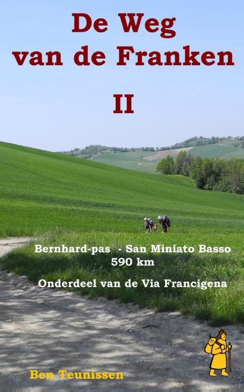
- Wandelgids - Pelgrimsroute De weg van de Franken 2 | Anoda Publishing
- Deze gids is onderdeel van een routebeschrijving die je vanaf Maastricht al wandelend de weg naar Rome laat ontdekken. Abt Albert van de benedictijner abdij uit de Noord-Duitse stad Stade schreef in het midden van de dertiende eeuw in zijn dagboek ‘Annales Stadenses’ de beroemde zin: ‘Alle wegen leiden naar Rome’. In dit verslag van zijn... Read more
Netherlands
2021
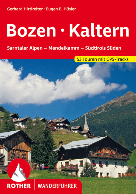
- Wandelgids Bozen - Bolzano - Kaltern | Rother Bergverlag
- Uitstekende wandelgids met een groot aantal dagtochten in dal en hooggebergte. Met praktische informatie en beperkt kaartmateriaal! Wandelingen in verschillende zwaarte weergegeven in rood/blauw/zwart. 53 Wanderungen und Bergtouren rund um Bozen und Kaltern - zwischen Penser Joch und Brixen, Eppan im Überetsch und Salurn im Unterland Bozen ist... Read more
Netherlands
2015
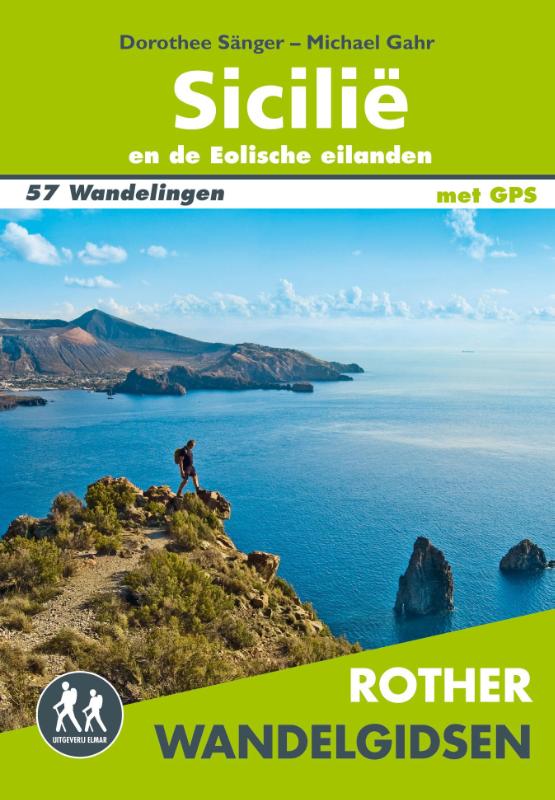
- Wandelgids Sicilië en de Eolische eilanden | Uitgeverij Elmar
- 57 wandelingen op Sicilië en de Eolische eilanden Read more
Netherlands
2016
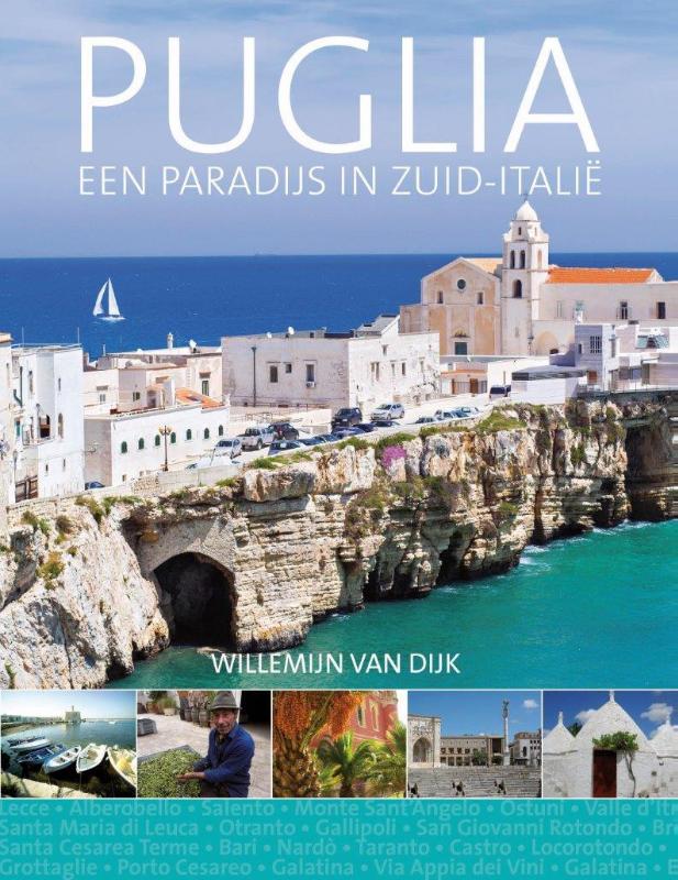
- Reisgids Puglia | Edicola
- Benvenuti in Puglia, de zonovergoten hak van de Italiaanse laars. Het paradijselijke Puglia is een droombestemming voor wie het authentieke Italië zoekt en zich wil laten overdonderen door een wonderschone, minder bekende kant van het land. Met haar zongebleekte huisjes, velden vol olijfbomen, witte stadjes op pittoreske heuvels, schitterende... Read more
Netherlands
2023
Netherlands
2012
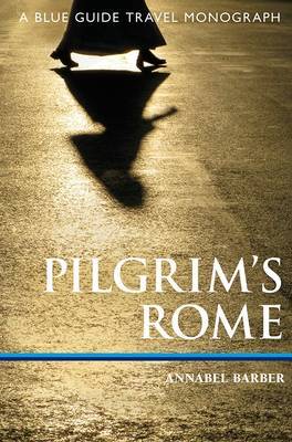
- Reisgids Pilgrim's Rome | Blue Guides
- A guide to Rome's Christian monuments, explained and put into context by an examination of the history of pilgrimage, from its most ancient forms to more modern, even secular practice. Supplements a good guide book to Rome, ideal for anyone with a deeper interest in the beliefs and myths that have built the living city, for the Christian... Read more
Netherlands
2015
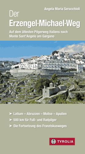
- Wandelgids Der Erzengel Michael Weg | Tyrolia
- Latium - Abruzzen - Molise - Apulien. 500 km für Fuß- und Radpilger. Die Fortsetzung des Franziskusweges. Auf den Spuren der Normannen und des Franz von Assisi durch die wilden Abruzzen Als Franz von Assisi 1219 in den Orient reiste, tat er das auf einem uralten Pilgerweg: Vom Rietital aus folgte er dem seit dem 6. Jahrhundert frequentierten... Read more

Netherlands
2024
Kaarten
Netherlands
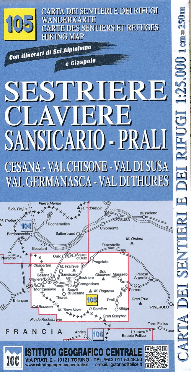
- Wandelkaart 105 Sestriere, Claviere, Sansicario, Prali | IGC - Istituto Geografico Centrale
- Sestriere - Claviere - Prali area at 1:25,000 in a series of contoured, GPS compatible walking maps from the Turin based Istituto Geografico Centrale, highlighting hiking trails including long-distance routes, ski routes and alpine accommodation. The maps have contours at 25m intervals, enhanced by shading and graphic relief for very clear... Read more
- Also available from:
- Stanfords, United Kingdom

United Kingdom
- Sestriere - Claviere Sansiciaro - Prali 25K IGC Map No. 105
- Sestriere - Claviere - Prali area at 1:25,000 in a series of contoured, GPS compatible walking maps from the Turin based Istituto Geografico Centrale, highlighting hiking trails including long-distance routes, ski routes and alpine accommodation. Maps in this series have contours at 25m intervals, enhanced by shading and graphic relief for very... Read more
Netherlands
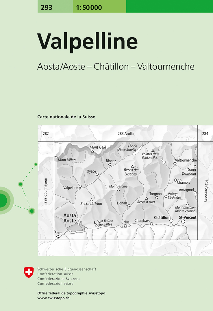
- Wandelkaart - Topografische kaart 293 Valpelline | Swisstopo
- Valpelline, map No. 293, in the standard topographic survey of Switzerland at 1:50,000 from Swisstopo, i.e. without the special overprint highlighting walking trails, local bus stops, etc, presented in Swisstopo Read more
- Also available from:
- Stanfords, United Kingdom

United Kingdom
- Valpelline Swisstopo 293
- Valpelline, map No. 293, in the standard topographic survey of Switzerland at 1:50,000 from Swisstopo, i.e. without the special overprint highlighting walking trails, local bus stops, etc, presented in Swisstopo’s hiking editions of the 50K survey. The map covers mainly the Italian side of the border, with only a small part of Switzerland shown... Read more
Netherlands
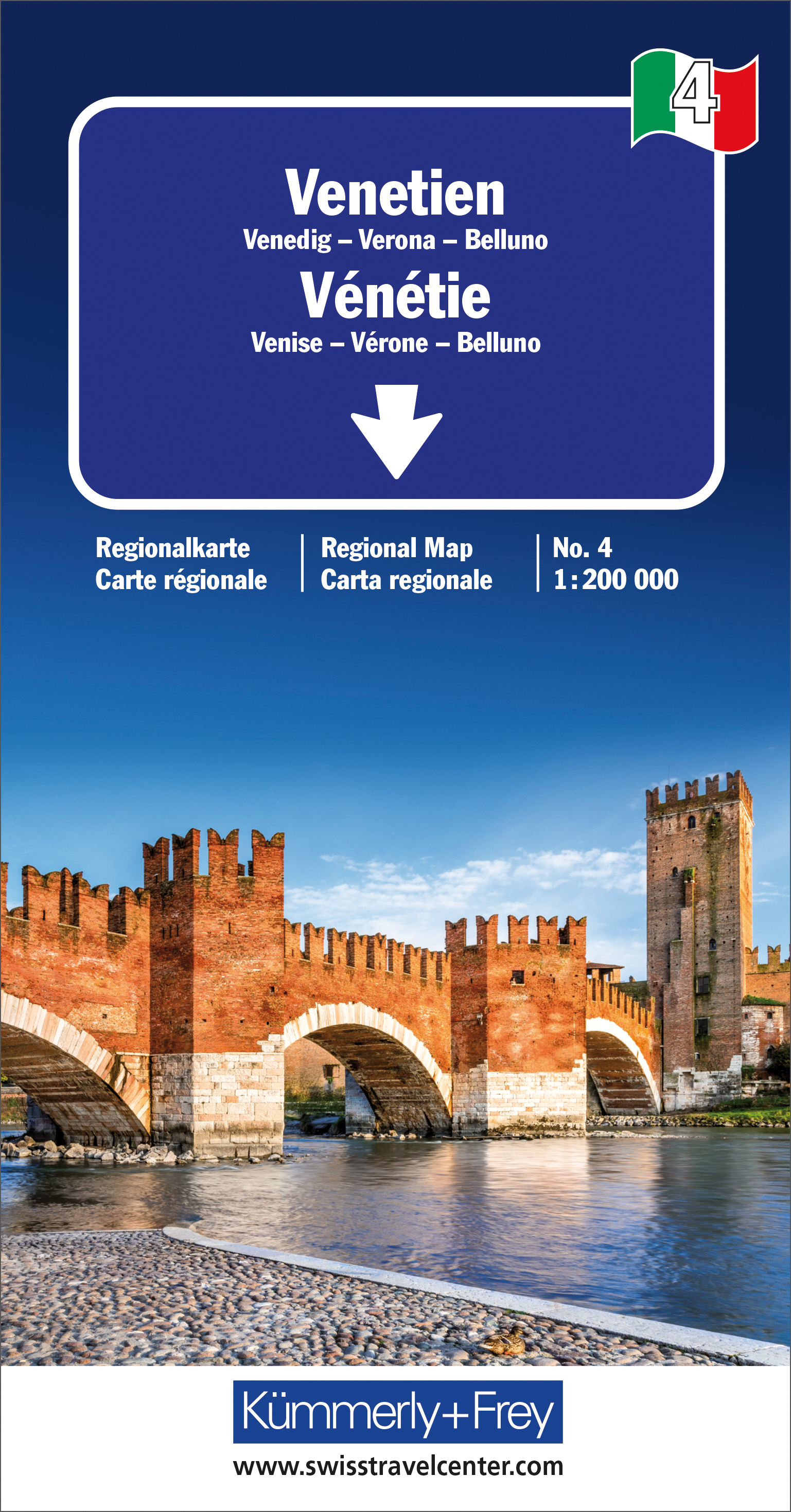
- Wegenkaart - landkaart 04 Venetie / Veneto | Kümmerly & Frey
- Strassenkarte Italien Blatt 4: Venetien ab 10.95 EURO Venedig-Verona-Blluno. Regionalkarte Nr. 4. Massstab 1:200000 Italien Regionalkarte Kümmerly & Frey Karte. 1. Auflage, Laufzeit bis 2021 Read more
Netherlands
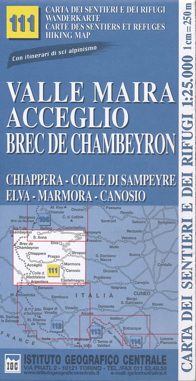
- Wandelkaart 111 Valle Maira, Acceglio, monte Chambeyron | IGC - Istituto Geografico Centrale
- Valle Maira - Acceglio area at 1:25,000 in a series of contoured, GPS compatible walking maps from the Turin based Istituto Geografico Centrale, highlighting hiking trails including long-distance routes, ski routes and alpine accommodation. The maps have contours at 25m intervals, enhanced by shading and graphic relief for very clear... Read more
- Also available from:
- Stanfords, United Kingdom

United Kingdom
- Valle Maira - Acceglio 25K IGC Map No. 111
- Valle Maira - Acceglio area at 1:25,000 in a series of contoured, GPS compatible walking maps from the Turin based Istituto Geografico Centrale, highlighting hiking trails including long-distance routes, ski routes and alpine accommodation. Maps in this series have contours at 25m intervals, enhanced by shading and graphic relief for very clear... Read more
Netherlands
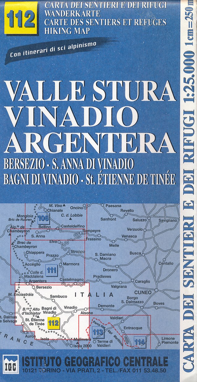
- Wandelkaart 112 Valle Stura, Vinadio Argentera | IGC - Istituto Geografico Centrale
- Gedetailleerde wandelkaart met hoogtelijnen, wandelroutes en hutten ingetekend. Read more
- Also available from:
- Stanfords, United Kingdom

United Kingdom
- Valle Stura - Vinadio - Argentera IGC 112
- Valle Stura - Vinadio - Argentera area at 1:25,000 in a series of contoured, GPS compatible walking maps from the Turin based Istituto Geografico Centrale, highlighting hiking trails including long-distance routes, ski routes and alpine accommodation. Maps in this series have contours at 25m intervals, enhanced by shading and graphic relief for... Read more
Netherlands
- Wandelkaart 028 Val Tramontina - Val Cosa - Val Meduna- Val d' Arzino | Tabacco Editrice
- Val Tramontina - Val Cosa - Val d`Arzino area in a series of Tabacco maps at 1:25,000 covering the Dolomites and the mountains of north-eastern Italy - Stanfords’ most popular coverage for this region, with excellent cartography and extensive overprint for hiking routes and other recreational activities, local bus stops, etc. To see the list of... Read more
- Also available from:
- Stanfords, United Kingdom

United Kingdom
- Val Tramontina - Val Cosa - Val d`Arzino Tabacco 028
- Val Tramontina - Val Cosa - Val d`Arzino area in a series of Tabacco maps at 1:25,000 covering the Dolomites and the mountains of north-eastern Italy - Stanfords’ most popular coverage for this region, with excellent cartography and extensive overprint for hiking routes and other recreational activities, local bus stops, etc. To see the list of... Read more
Netherlands
- Wandelkaart 16 Val Vermenagna, Valle Pesio, Alta Valle Ellero, Parco Naturale Del Marguareis | Fraternali Editore
- Val Vermenagna - Valle Pesio - Alta Valle Ellero area of the Italian Alps presented at 1:25,000 in a series of large, contoured and GPS compatible walking maps from Fraternali Editore, printed on light, waterproof and tear-resistant synthetic paper. Maps in this series have topography shown by contour lines at 5m intervals with relief shading,... Read more
- Also available from:
- Stanfords, United Kingdom

United Kingdom
- Val Vermenagna - Valle Pesio - Alta Valle Ellero
- Val Vermenagna - Valle Pesio - Alta Valle Ellero area of the Italian Alps presented at 1:25,000 in a series of large, contoured and GPS compatible walking maps from Fraternali Editore, printed on light, waterproof and tear-resistant synthetic paper. Maps in this series have topography shown by contour lines at 5m intervals with relief shading,... Read more
Netherlands
- Wandelkaart A06 Siniscola | Abies
- Siniscola area at 1:25,000 in a series of contoured maps from Ed. Abies. Overprint highlights campsites and agriturismo accommodation, climbing sites, wild sheep and bird watching sites and archaeological remains. This title has no UTM grid. Main series at 1:60,000 (Nos. 1 to 12) The maps have contours at 100m intervals and colouring for... Read more
Netherlands
- Wandelkaart 05 Monte Catillo - Monti Lucretili - Monte Navegna - Cervia | Edizione il Lupo
- Topografische wandelkaart met wandelroutes en mountainbike routes ingetekend van het park Monti Lucretili in Lazio. The first map that understands the whole territory from Tivoli up to the Lake of the Turano and to the Navegna Mountain Dimensions 116 x 85 cm - Basic IGM - wooded Coverage Map forehead-back with official trails of the Parks and... Read more
Netherlands
2021
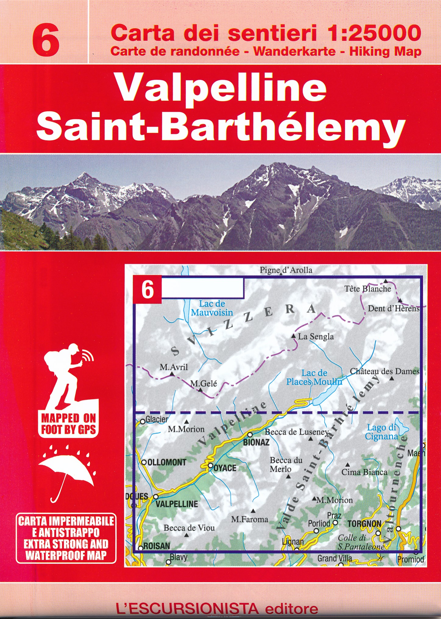
- Wandelkaart 06 Valpelline, Saint-Barthelemy | L'Escursionista editore
- Voor weinig gebieden in Italië zijn echt goede wandelkaarten beschikbaar. Dit is gelukkig zo'n serie: voor de noordwestelijke Alpen van Italië; Gran Paradiso, Mont Blanc en Aosta en omgeving. Met GPS grid uitgeruste detailkaart, schaal 1:25.000 met alle noodzakelijke wandelinformatie als ingetekende routes, Via Ferrata routes, campings,... Read more
Netherlands
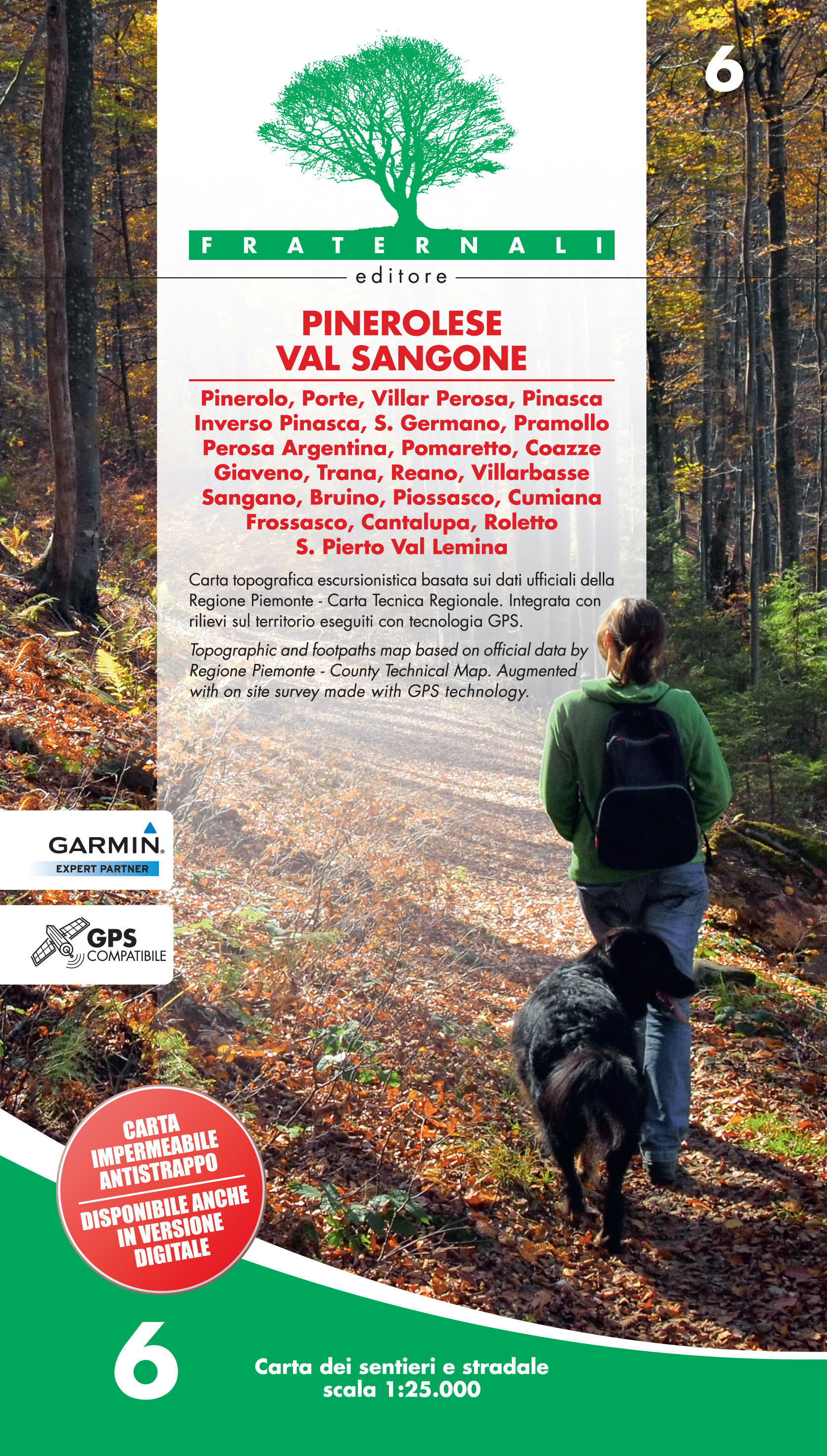
- Wandelkaart 06 Pinerolese - Val Sangone | Fraternali Editore
- Gebied: Pinerolo, Porte, Villar Perosa, Pinasca, Inverso Pinasca, S. Germano, Pramollo, Perosa Argentina, Pomaretto, Coazze, Giaveno, Trana, Reano, Villarbasse, Sangano, Bruino, Piossasco, Cumiana, Frossasco, Cantalupa, Roletto, S. Pietro Val Lemina. Een uitstekende wandelkaart van de westkant van Italie waar tot voor kort geen echt goede... Read more
- Also available from:
- Stanfords, United Kingdom

United Kingdom
- Pinerolese - Val Sangone Fraternali Editore 06
- Pinerolese - Val Sangone area of the Italian Alps presented at 1:25,000 in a series of large, contoured and GPS compatible walking maps from Fraternali Editore, printed on light, waterproof and tear-resistant synthetic paper. Maps in this series have topography shown by contour lines at 5m intervals with relief shading, spot heights, and... Read more
Netherlands
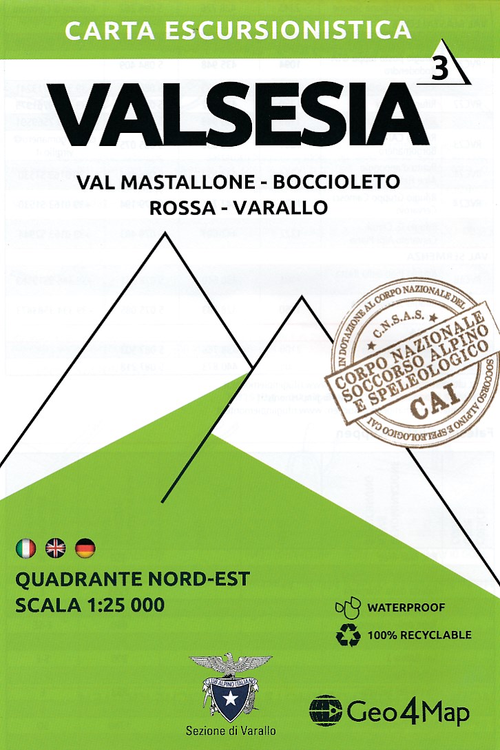
- Wandelkaart - Topografische kaart 3 Valsesia - Val Mastallone | Geo4Map
- Gedetailleerde wandelkaart van een deel van het bergmassief van de Monte Rosa en de uitlopers daarvan in het noordelijke deel van Piemonte. De kaart is gebaseerd op topografische kaarten met belangrijke zaken als hoogtelijnen, bergtoppen en woningen. Daarnaast zijn er voor de wandelaars nuttige feiten als hutten, campings maar ook markeringen... Read more
- Also available from:
- Stanfords, United Kingdom

United Kingdom
- Valsesia - Val Mastallone - Boccioleto - Rossa - Varallo Geo4Map 3
- 1:25,000 hiking map to the north east of Valsesia centred on Fobello including Rimella, Varallo, Rossa and Boccioleto.Published in association with the CAI, the Italian Alpine Club, who are responsible for the trails. Trails are marked on the map. The key information and more detailed information on the rear of the sheet are in Italian, German... Read more