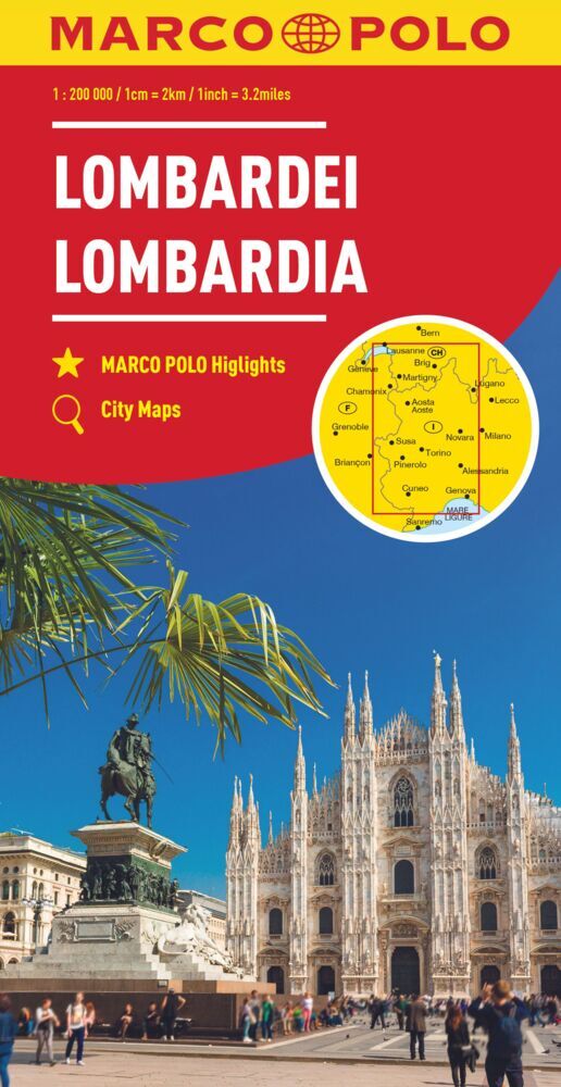
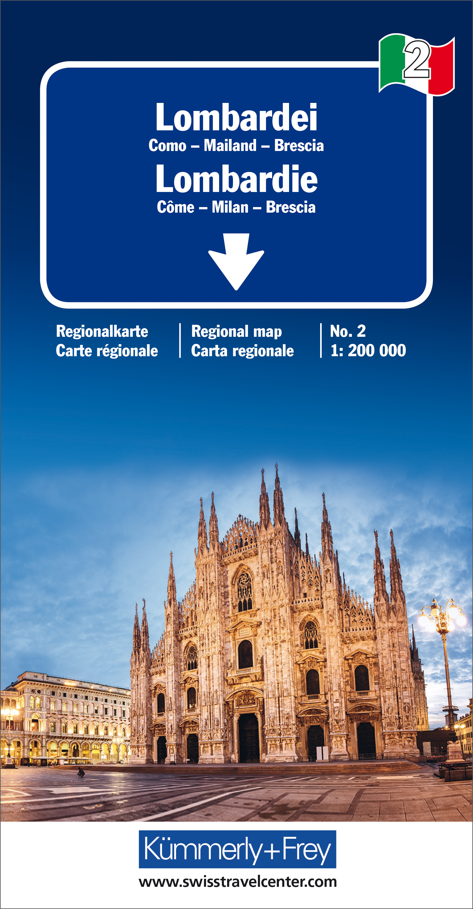
Lombardia
Beschrijving
Lombardia or Lombardy is the region around Milano.
Links
Feiten
Verslagen
Gidsen en kaarten
Overnachting
Organisaties
Reisorganisaties
GPS
Anders
Boeken

Stanfords
United Kingdom
2015
United Kingdom
2015
- Italian Lakes Walking: Garda, Maggiore, Como and Iseo
- This guidebook describes 50 walks around Lakes Como, Iseo, Garda and Maggiore in Northern Italy. The picturesque routes are accessible by public transport from popular centres including Bellagio, Riva, Stresa and Cannero, and range from 2 to 14km in length. There are gentle lakeside strolls, and numerous ridge routes and traverses as well as... Read more

Stanfords
United Kingdom
United Kingdom
- Ortles / Ortler - Cevedale Kompass 077
- Ortles/Ortler - Cevedale area at 1:25,000 on a durable, waterproof and tear-resistant map from Kompass in their series of detailed maps of the Dolomites.CARTOGRAPHY: Kompass maps of the Dolomites at 1:25,000 have contours at 25-m intervals. An overprint shows local and long-distance footpaths, including all the high level routes (Alte Vie). The... Read more
De Zwerver
Netherlands
2022
Netherlands
2022
- Also available from:
- The Book Depository, United Kingdom

De Zwerver
Netherlands
2019
Netherlands
2019
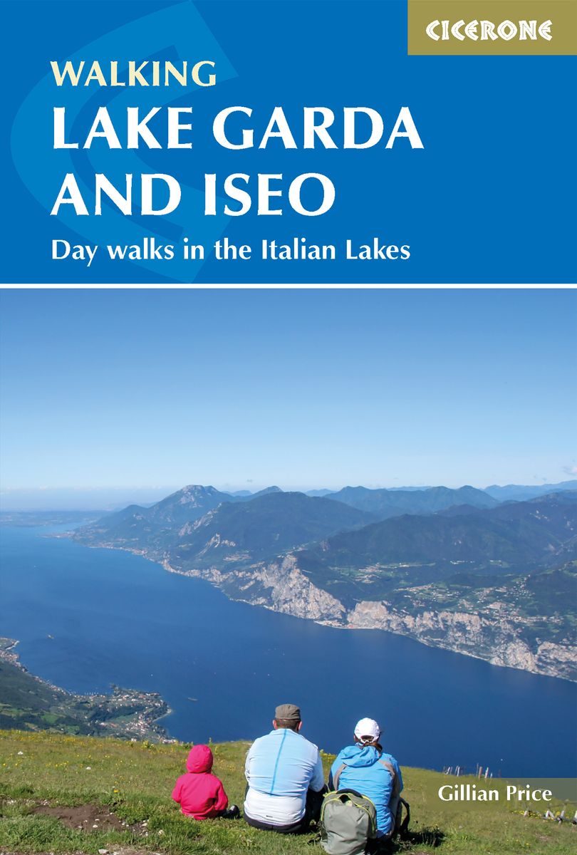
- Wandelgids Walking Lake Garda and Iseo | Cicerone
- Guidebook to 20 day walks around the majestic Italian lakes of Garda and Iseo. The routes, which range from leisurely strolls to more strenuous routes up panoramic peaks, offer something to suit all walkers. Invaluable practical information about public transport, accommodation and walking kit is included, together with a handy Italian glossary. Read more
- Also available from:
- Stanfords, United Kingdom
- The Book Depository, United Kingdom

Stanfords
United Kingdom
2019
United Kingdom
2019
- Walking Lake Garda & Iseo
- This guidebook describes 20 walks around Lakes Garda and Iseo in Northern Italy. The routes range from 4 to 13km in length and are graded 1 to 3. There is something for everyone, from easy leisurely strolls for first-time walkers to strenuous climbs up panoramic peaks.The clear maps, inspirational photographs and information about accommodation... Read more

The Book Depository
United Kingdom
2019
United Kingdom
2019
- Walking Lake Garda and Iseo
- Day walks in the Italian Lakes Read more
Kaarten
- Also available from:
- Stanfords, United Kingdom

Stanfords
United Kingdom
2021
United Kingdom
2021
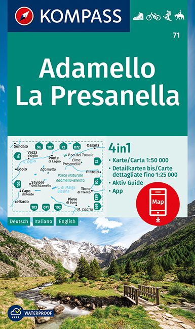
- Adamello - La Presanella Kompass 71
- Adamello - La Presanella area just north of Lake Garda on a GPS compatible hiking and recreational map at 1:50,000 from Kompass, printed on durable, waterproof and tear-resistant synthetic paper. KOMPASS HIKING MAPS OF ITALY: this title is part of an extensive series of walking maps from Kompass covering selected areas of Italy at mainly... Read more
De Zwerver
Netherlands
Netherlands
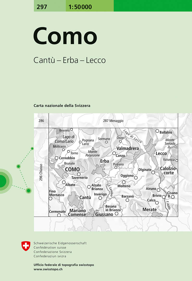
- Wandelkaart - Topografische kaart 297 Como - Tessin | Swisstopo
- Como, map No. 297, in the standard topographic survey of Switzerland at 1:50,000 from Swisstopo, i.e. without the special overprint highlighting walking trails, local bus stops, etc, presented in Swisstopo Read more
- Also available from:
- Stanfords, United Kingdom

Stanfords
United Kingdom
United Kingdom
- Como Swisstopo 297
- Como, map No. 297, in the standard topographic survey of Switzerland at 1:50,000 from Swisstopo, i.e. without the special overprint highlighting walking trails, local bus stops, etc, presented in Swisstopo’s hiking editions of the 50K survey. The map covers mainly the Italian side of the border, with only a small part of Switzerland shown on... Read more
De Zwerver
Netherlands
Netherlands
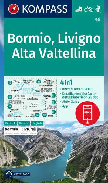
- Wandelkaart 96 Bormio - Livigno - Alta Valtellina | Kompass
- Map No. 96, Bormio - Livigno - Corna di Campo, from Kompass printed on sturdy, waterproof and tear-resistant synthetic paper in a series of walking maps of selected areas of Italy at 1:50,000, with hiking routes on a topographic base, various types of accommodation, recreational facilities, places of interest, etc. Kompass are Europe’s largest... Read more
- Also available from:
- Stanfords, United Kingdom
Stanfords
United Kingdom
United Kingdom
- Bormio - Livigno - Alta Valtellina Kompass 96
- Map No. 96, Bormio - Livigno - Corna di Campo, from Kompass printed on sturdy, waterproof and tear-resistant synthetic paper in a series of walking maps of selected areas of Italy at 1:50,000, with hiking routes on a topographic base, various types of accommodation, recreational facilities, places of interest, etc. Kompass are Europe’s largest... Read more
De Zwerver
Netherlands
Netherlands
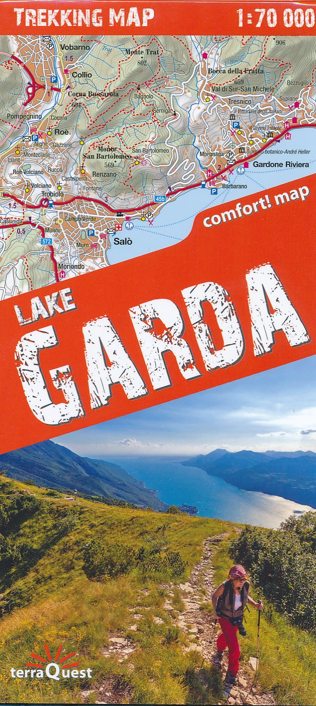
- Wandelkaart Trekking map Lake Garda - Lago di Garda | TerraQuest
- Uitstekende wandelkaart van het gebied rond het Garda meer. Alle noodzakelijke gegevens staan er op, de kaart is gebaseerd op topografische kaarten en voorzien van ingetekende wandelroutes. De kaart is geplastificeerd. Voor een uitsnede welk gebied deze kaart dekt. This is the 1:70,000 trekking map for Lake Garda covering just north of Arco at... Read more
- Also available from:
- Stanfords, United Kingdom

Stanfords
United Kingdom
United Kingdom
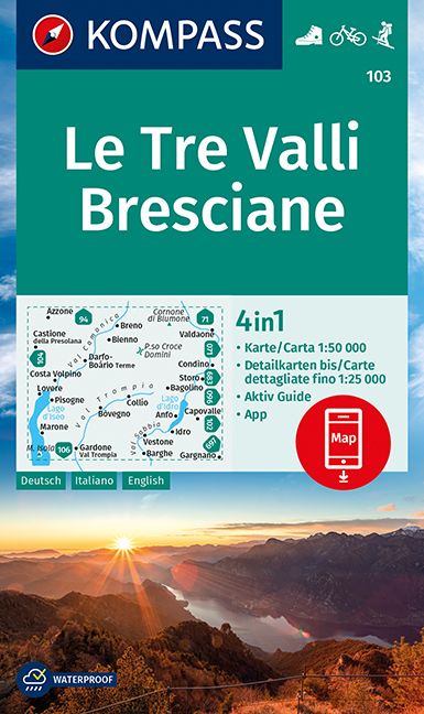
- Le Tre Valli Bresciane Kompass 103
- Map No. 103, Le Tre Valli Bresciane, from Kompass in a series of walking maps of selected areas of Italy at 1:50,000, with hiking routes on a topographic base, various types of accommodation, recreational facilities, places of interest, etc. Kompass are Europe’s largest publishers of walking maps, with extensive coverage of hiking areas in... Read more

De Zwerver
Netherlands
Netherlands
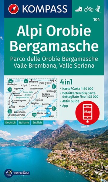
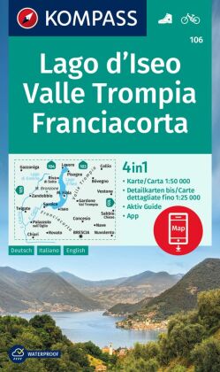
- Wandelkaart 104 Alpi Orobie Bergamasche, Parco delle Orobie Bergamasche, Valle Brembana, Valle Seriana | Kompass
- Alpi Orobie (Bergamasker Alps) between Bergamo and Sondrio including Lago d’Iseo, on a GPS compatible hiking and recreational map at 1:50,000 from Kompass, printed on durable, waterproof and tear-resistant synthetic paper.KOMPASS HIKING MAPS OF ITALY – TO SEE THE OTHER TITLES IN THIS SERIES PLEASE CLICK ON THE SERIES LINK. The series covers the... Read more
- Also available from:
- Stanfords, United Kingdom
Stanfords
United Kingdom
United Kingdom
- Alpi Orobie Bergamasche - Valle Brembana - Valle Seriana Kompass 104
- Alpi Orobie (Bergamasker Alps) between Bergamo and Sondrio including Lago d’Iseo, on a GPS compatible hiking and recreational map at 1:50,000 from Kompass, printed on durable, waterproof and tear-resistant synthetic paper.KOMPASS HIKING MAPS OF ITALY – TO SEE THE OTHER TITLES IN THIS SERIES PLEASE CLICK ON THE SERIES LINK. The series covers the... Read more
De Zwerver
Netherlands
Netherlands
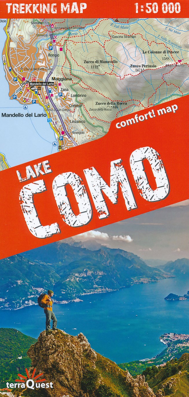
- Wandelkaart Trekking map Lake Como - Lago di Como | TerraQuest
- Lake Como and the surrounding area on a waterproof and tear-resistant, contoured and GPS compatible map at 1:50,000 from terraQuest, highlighting hiking trails, campsites and refuges, etc. The map is presented in a special format handy for conveniently viewing just small sections of it at one time.Coverage extends from the town of Como and the... Read more
- Also available from:
- Stanfords, United Kingdom

Stanfords
United Kingdom
United Kingdom
- Lake Como terraQuest Trekking Map
- Lake Como and the surrounding area on a waterproof and tear-resistant, contoured and GPS compatible map at 1:50,000 from terraQuest, highlighting hiking trails, campsites and refuges, etc. The map is presented in a special format handy for conveniently viewing just small sections of it at one time.Coverage extends from the town of Como and the... Read more
Meer kaarten…