
Matterhorn
Beschrijving
Kaart

Paden in deze regio
Links
Feiten
Verslagen
Gidsen en kaarten
Overnachting
Organisaties
Reisorganisaties
GPS
Anders
Boeken
De Zwerver
Netherlands
2022
Netherlands
2022
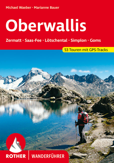
- Wandelgids Oberwallis | Rother Bergverlag
- Goede duitstalige wandelgids. Veel dagtochten, met gradaties en kleuren in zwaarte gerangschikt. Veel praktische informatie. Handzaam formaat. Das Wallis mit seinen mehr als viertausend Meter hohen Bergriesen wie Matterhorn und Monte Rosa, mit Gletscherbrüchen, Eisflanken und Felswänden ist nicht nur ein Paradies für Alpinisten, sondern... Read more
De Zwerver
Netherlands
2012
Netherlands
2012
- Wandelgids Walliser Alpen Gebietsführer | Rother Bergverlag
- Wallis: »Land der weißen Riesen«, »Mekka des Bergsteigens«, der markigen Worthülsen und klingenden Attribute gibt es viele, namentlich im Sprachschatz einheimischer Tourismusmanager und alpenferner Werbeleute. Doch in der Tat, es steckt viel Wahres in den verbalen Superlativen für Landschaft und Natur des Viertausender-Kantons: Nirgendwo sonst... Read more
De Zwerver
Netherlands
2010
Netherlands
2010
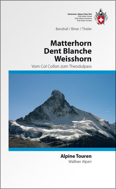
- Wandelgids Alpine Touren Matterhorn - Weisshorn - Dent Blanche | SAC Schweizer Alpenclub
- Wandel- klimgids voor de Walliser Alpen met beschrijvingen van de routes naar toppen van bekende topppen: Bouquetins - Dents de Perroc, Dent Blanche, Grand Cornier, Gable horner - Zinalrothorn , Weisshorn, Diablons - Bella Tola & Matterhorn. Im Gebiet dieses Führers liegen die schönsten und berühmtesten Viertausender der Schweizer Alpen. In der... Read more


Bol.com
Netherlands
Netherlands
- Five Weeks One Summer
- Mountain walking in the Swiss Alps - breathtaking, dramatic scenery in a magical region, a network of mountain huts, rustic inns, spectacular lakes, glaciers, flower-filled meadows... super fun! Interested? Martin Block's enthusiasm for alpine walking spills over into this fascinating and sometimes moving 'diary' of his solo alpine venture,... Read more
- Also available from:
- Bol.com, Belgium
Bol.com
Belgium
Belgium
- Five Weeks One Summer
- Mountain walking in the Swiss Alps - breathtaking, dramatic scenery in a magical region, a network of mountain huts, rustic inns, spectacular lakes, glaciers, flower-filled meadows... super fun! Interested? Martin Block's enthusiasm for alpine walking spills over into this fascinating and sometimes moving 'diary' of his solo alpine venture,... Read more
Bol.com
Netherlands
Netherlands
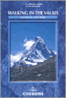
- Walking In The Valais
- The Pennine Alps in the Valais region of Switzerland contain more 4000m peaks than anywhere else in Western Europe and some of the greats: the Matterhorn, Monte Rosa, Dent Blanche and Grand Combin, all surrounded by idyllic valleys and hillsides dotted with chalets, hay barns and hardy little alpine flowers as well as pristine snowfields and... Read more
- Also available from:
- Bol.com, Belgium
Bol.com
Belgium
Belgium
- Walking In The Valais
- The Pennine Alps in the Valais region of Switzerland contain more 4000m peaks than anywhere else in Western Europe and some of the greats: the Matterhorn, Monte Rosa, Dent Blanche and Grand Combin, all surrounded by idyllic valleys and hillsides dotted with chalets, hay barns and hardy little alpine flowers as well as pristine snowfields and... Read more
Bol.com
Netherlands
Netherlands
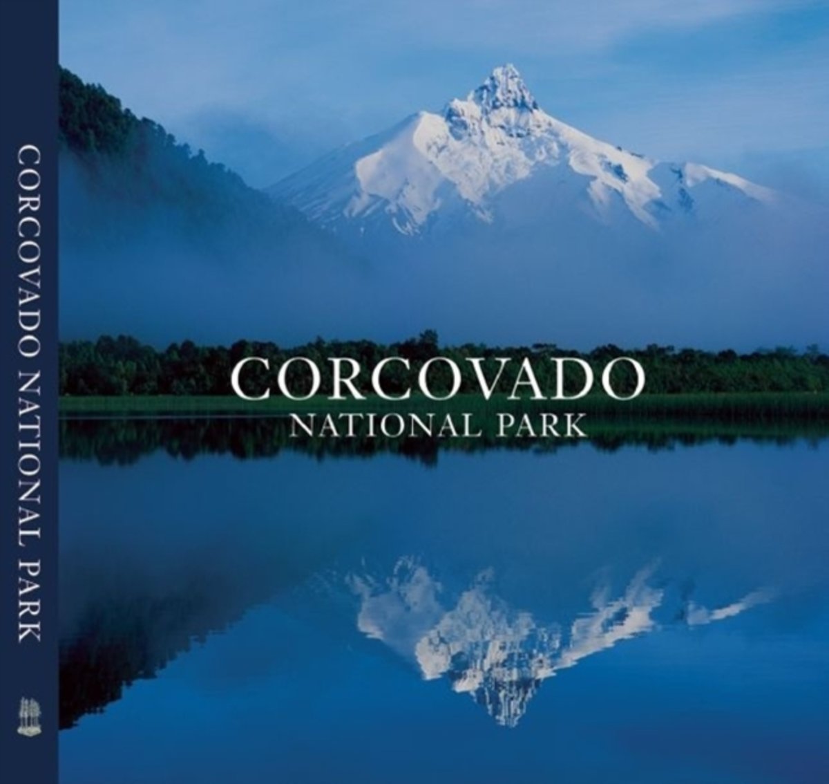
- Corcovado National Park
- Shimmering lakes. Snow-capped mountains. Primeval forest where pumas haunt the shadows. Free-flowing rivers that race to the sea. This is Chile's Corcovado National Park, one of the last great wilderness areas on Earth. Rising above it all is the Corcovado volcano, whose striking form has been a landmark for travellers along the Pacific... Read more
- Also available from:
- Bol.com, Belgium
Bol.com
Belgium
Belgium
- Corcovado National Park
- Shimmering lakes. Snow-capped mountains. Primeval forest where pumas haunt the shadows. Free-flowing rivers that race to the sea. This is Chile's Corcovado National Park, one of the last great wilderness areas on Earth. Rising above it all is the Corcovado volcano, whose striking form has been a landmark for travellers along the Pacific... Read more
Bol.com
Netherlands
2015
Netherlands
2015
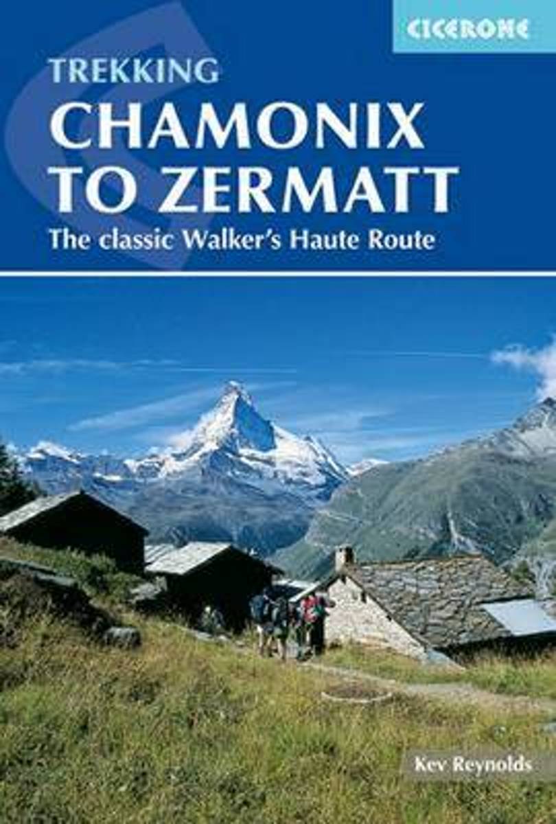
- Chamonix to Zermatt
- A guide to the classic Chamonix to Zermatt trek, from Mont Blanc to the Matterhorn, in the northern slopes of the Pennines Alps, described in 14 stages. In two weeks of mountain travel you will see the greatest collection of 4000 metre peaks in the Alps and visit some of the most spectacular valleys. You will discover delightful villages and... Read more
- Also available from:
- Bol.com, Belgium
Bol.com
Belgium
2015
Belgium
2015
- Chamonix to Zermatt
- A guide to the classic Chamonix to Zermatt trek, from Mont Blanc to the Matterhorn, in the northern slopes of the Pennines Alps, described in 14 stages. In two weeks of mountain travel you will see the greatest collection of 4000 metre peaks in the Alps and visit some of the most spectacular valleys. You will discover delightful villages and... Read more
Bol.com
Netherlands
Netherlands
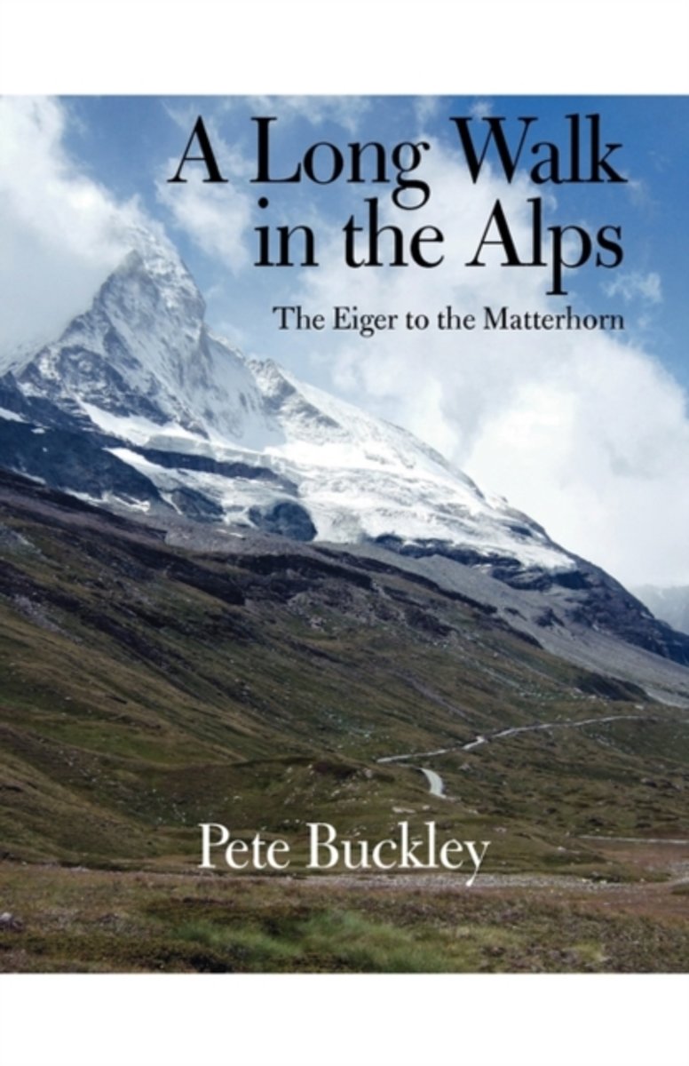
- A Long Walk in the Alps
- There can be no more enduring symbols of the Alps than the Eiger and the Matterhorn. These two great mountains have inspired climbers throughout Europe while the towns at their feet, Grindelwald and Zermatt, have become World famous resorts. A Long Walk in the Alps describes a journey beginning under the shadow of the Eiger's infamous north... Read more
- Also available from:
- Bol.com, Belgium
Bol.com
Belgium
Belgium
- A Long Walk in the Alps
- There can be no more enduring symbols of the Alps than the Eiger and the Matterhorn. These two great mountains have inspired climbers throughout Europe while the towns at their feet, Grindelwald and Zermatt, have become World famous resorts. A Long Walk in the Alps describes a journey beginning under the shadow of the Eiger's infamous north... Read more
Bol.com
Netherlands
Netherlands
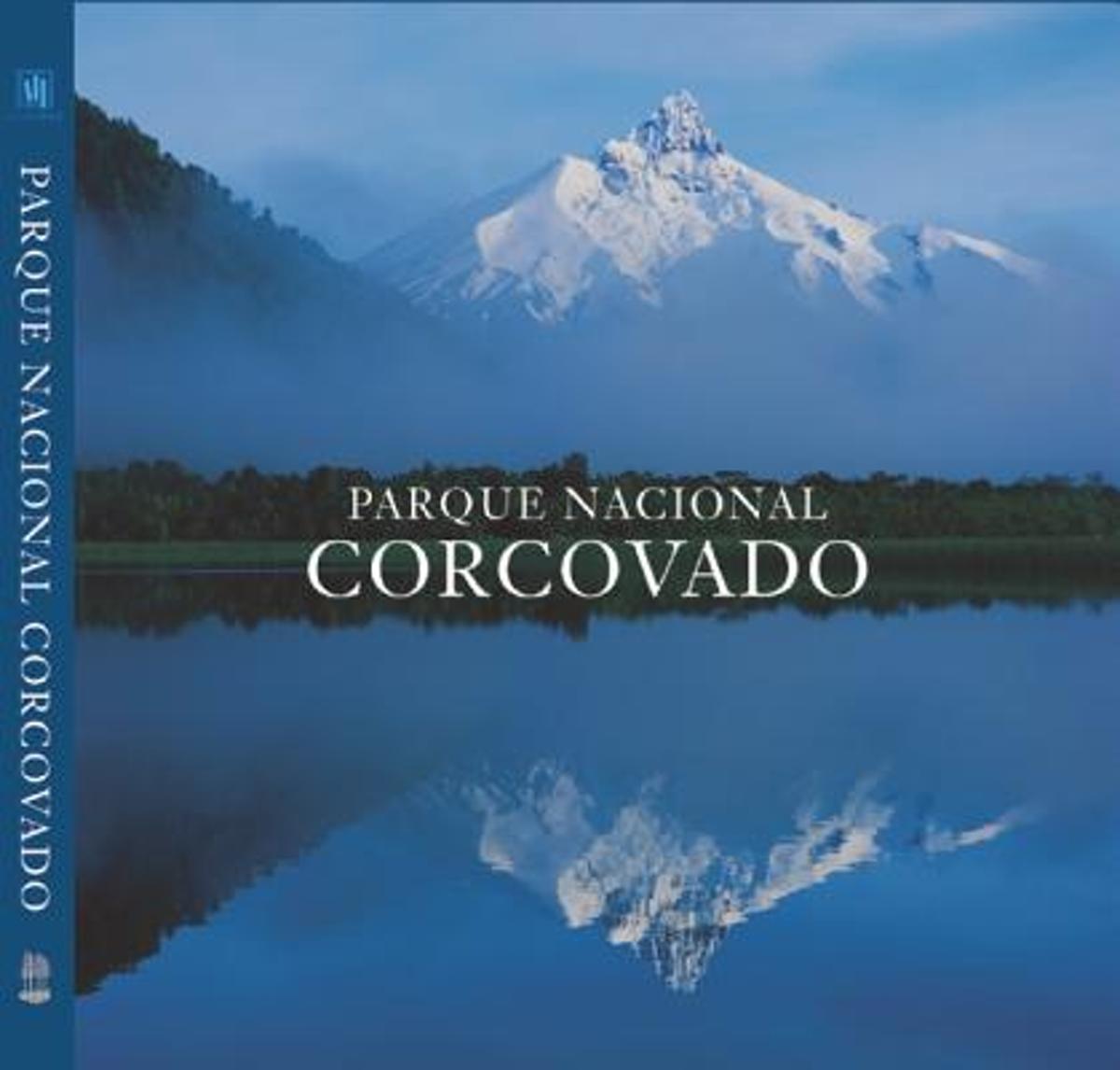
- Parque Nacional Corcovado
- Shimmering lakes. Snow-capped mountains. Primeval forest where pumas haunt the shadows. Free-flowing rivers that race to the sea. This is Chile's Corcovado National Park, one of the last great wilderness areas on Earth. Rising above it all is the Corcovado volcano, whose striking form has been a landmark for travellers along the Pacific... Read more
- Also available from:
- Bol.com, Belgium
Bol.com
Belgium
Belgium
- Parque Nacional Corcovado
- Shimmering lakes. Snow-capped mountains. Primeval forest where pumas haunt the shadows. Free-flowing rivers that race to the sea. This is Chile's Corcovado National Park, one of the last great wilderness areas on Earth. Rising above it all is the Corcovado volcano, whose striking form has been a landmark for travellers along the Pacific... Read more
Bol.com
Netherlands
Netherlands
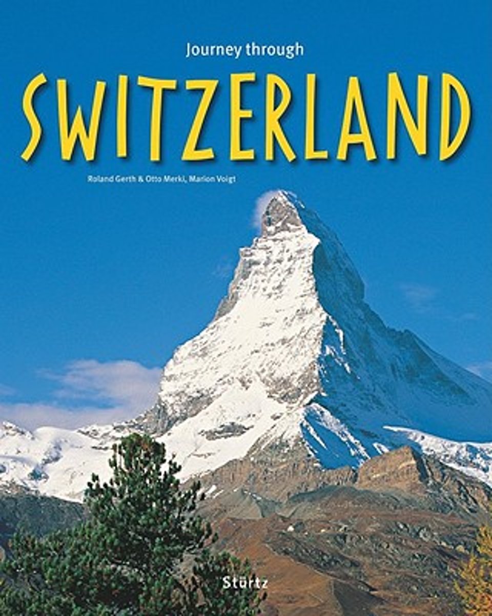
- Journey Through Switzerland
- This diverse guide celebrates the best that Switzerland has to offer. Exploring the countrys attractions for winter sports enthusiasts as well as avid climbers and hikers, this travel companion highlights the Matterhorn, the Eiger, the Piz Palü, and a variety of secluded mountain trails, providing a host of numerous challenges. With the... Read more
- Also available from:
- Bol.com, Belgium
Bol.com
Belgium
Belgium
- Journey Through Switzerland
- This diverse guide celebrates the best that Switzerland has to offer. Exploring the countrys attractions for winter sports enthusiasts as well as avid climbers and hikers, this travel companion highlights the Matterhorn, the Eiger, the Piz Palü, and a variety of secluded mountain trails, providing a host of numerous challenges. With the... Read more

De Zwerver
Netherlands
2019
Netherlands
2019
- Wandelgids Trekking in the Alps | Cicerone
- An inspirational guidebook to 20 classic treks in the Alps. As well as introducing new hiking areas in the Alps, classics such as the Tour of Mont Blanc, and Chamonix to Zermatt are included. Trekking in the Alps is immensely satisfying, and this book celebrates the rich and scenic diversity for which this great mountain range is renowned. Read more
- Also available from:
- Bol.com, Netherlands
- Bol.com, Belgium
- Stanfords, United Kingdom
- The Book Depository, United Kingdom

Bol.com
Netherlands
2011
Netherlands
2011
- Trekking in the Alps
- An inspirational guide to the delights of Alpine multi-day hikes. With 20 hikes described, including classics such as the Tour of Mont Blanc and the Tour of the Vanoise as well as new multi-day routes like the Traverse of the Slovenian Alps, this guide celebrates the rich scenic diversity for which the Alps are renowned.The eight talented... Read more
Bol.com
Belgium
2011
Belgium
2011
- Trekking in the Alps
- An inspirational guide to the delights of Alpine multi-day hikes. With 20 hikes described, including classics such as the Tour of Mont Blanc and the Tour of the Vanoise as well as new multi-day routes like the Traverse of the Slovenian Alps, this guide celebrates the rich scenic diversity for which the Alps are renowned.The eight talented... Read more

Stanfords
United Kingdom
2011
United Kingdom
2011
- Alps Trekking
- An inspirational walking guide to 20 summer treks in the European Alps in Italy, Austria, Switzerland, France and Slovenia, by 8 Alpine trekking experts, including the classics such as the Tour of Mont Blanc and lesser-known routes like the Traverse of the Slovenian Alps. All the rich scenic diversity for which the Alps are renowned is... Read more

The Book Depository
United Kingdom
2011
United Kingdom
2011
- Trekking in the Alps
- An inspirational guidebook to 20 classic treks in the Alps. As well as introducing new hiking areas in the Alps, classics such as the Tour of Mont Blanc, and Chamonix to Zermatt are included. Trekking in the Alps is immensely satisfying, and this book celebrates the rich and scenic diversity for which this great mountain range is renowned. Read more
Bol.com
Netherlands
Netherlands
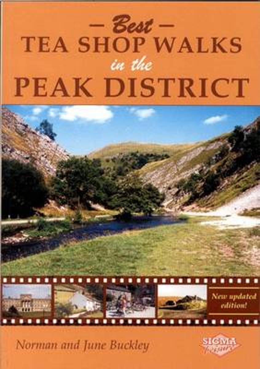
- Best Tea Shop Walks in the Peak District
- What could be better than a country walk with the reward of afternoon tea? This guidebook contains twenty-six varied and attractive walks suitable for all the family. June and Norman Buckley describe them with accurate instructions, clear sketch maps and delightful photographs. To add to the pleasure, each walk includes one or more tea shops;... Read more
- Also available from:
- Bol.com, Belgium
- Stanfords, United Kingdom
Bol.com
Belgium
Belgium
- Best Tea Shop Walks in the Peak District
- What could be better than a country walk with the reward of afternoon tea? This guidebook contains twenty-six varied and attractive walks suitable for all the family. June and Norman Buckley describe them with accurate instructions, clear sketch maps and delightful photographs. To add to the pleasure, each walk includes one or more tea shops;... Read more

Stanfords
United Kingdom
United Kingdom
- Tea Shop Walks in the Peak District
- What could be better than a country walk with the reward of afternoon tea? This guidebook contains twenty-six varied and attractive walks suitable for all the family. June and Norman Buckley describe them with accurate instructions, clear sketch maps and delightful photographs. To add to the pleasure, each walk includes one or more tea shops;... Read more
Bol.com
Netherlands
Netherlands
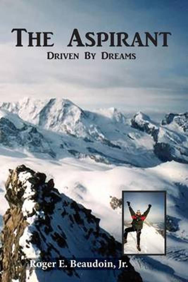
- The Aspirant
- This is the black and white interior version of The Aspirant which is also available as a full color paperback. At age 15 Roger Beaudoin's fascination with the Matterhorn was seeded. On a family trip to Disneyland, he stood in awe before a 300 foot high replica of the Alps' most famous mountain peak. Later in 1988, as graduate student on... Read more
- Also available from:
- Bol.com, Belgium
Bol.com
Belgium
Belgium
- The Aspirant
- This is the black and white interior version of The Aspirant which is also available as a full color paperback. At age 15 Roger Beaudoin's fascination with the Matterhorn was seeded. On a family trip to Disneyland, he stood in awe before a 300 foot high replica of the Alps' most famous mountain peak. Later in 1988, as graduate student on... Read more
Kaarten
De Zwerver
Netherlands
Netherlands
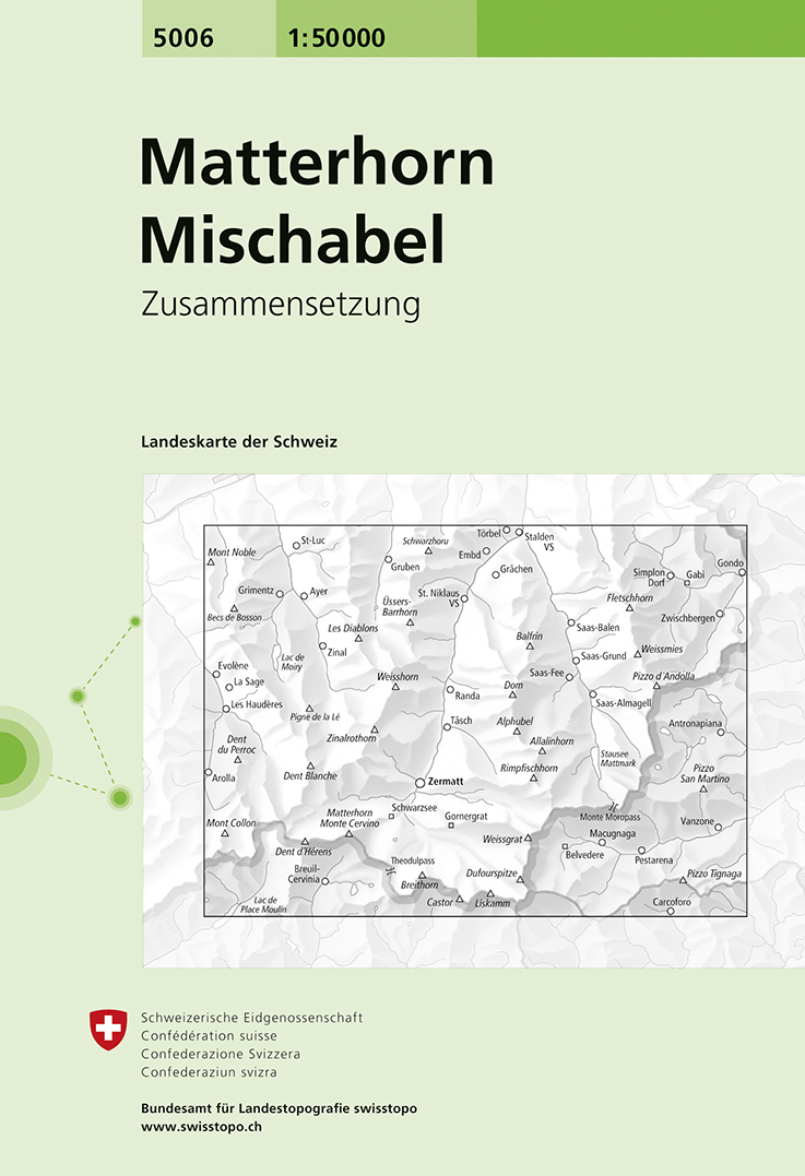
- Wandelkaart - Topografische kaart 5006 Matterhorn Mischabel | Swisstopo
- Matterhorn - Mischabel area, map No. 5006, in the standard topographic survey of Switzerland at 1:50,000 from Swisstopo, i.e. without the special overprint highlighting walking trails, local bus stops, etc, presented in Swisstopo Read more
- Also available from:
- Stanfords, United Kingdom

Stanfords
United Kingdom
United Kingdom
- Matterhorn - Mischabel Swisstopo 5006
- Matterhorn - Mischabel area, map No. 5006, in the standard topographic survey of Switzerland at 1:50,000 from Swisstopo, i.e. without the special overprint highlighting walking trails, local bus stops, etc, presented in Swisstopo’s hiking editions of the 50K survey. The map covers the whole of the Mattertal and Saastal valleys with Zermatt,... Read more

De Zwerver
Netherlands
Netherlands
- Wandelkaart 05 Cervino Matterhorn e Monte Rosa | IGC - Istituto Geografico Centrale
- Matterhorn/M.Cervino and Monte Rosa, map no. 5, in a series contoured hiking maps at 1:50,000 with local trails, long-distance footpaths, mountain accommodation, etc. from the Turin based Istituto Geografico Centrale covering the Italian Alps and Piedmont, the lakes and northern Lombardy, and the Italian Riviera.The maps have contours at 50m... Read more
- Also available from:
- Stanfords, United Kingdom

Stanfords
United Kingdom
United Kingdom
- Matterhorn / M. Cervino - Monte Rosa IGC 5
- The Italian side of the Matterhorn and Monte Rosa, with coverage extending from Zermatt to Aosta, in a series contoured hiking maps at 1:50,000 with local trails, long-distance footpaths, mountain accommodation, etc. from the Turin based Istituto Geografico Centrale. Maps in this series have contours at 50m intervals, enhanced by shading and... Read more
De Zwerver
Netherlands
Netherlands
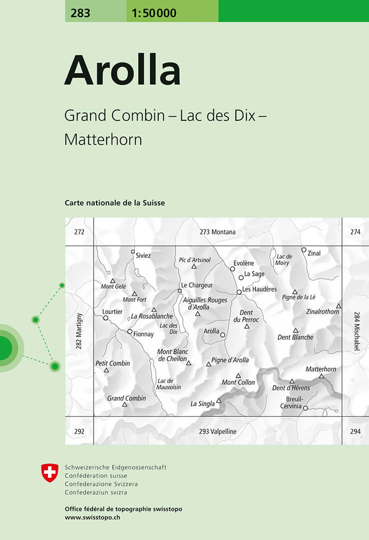
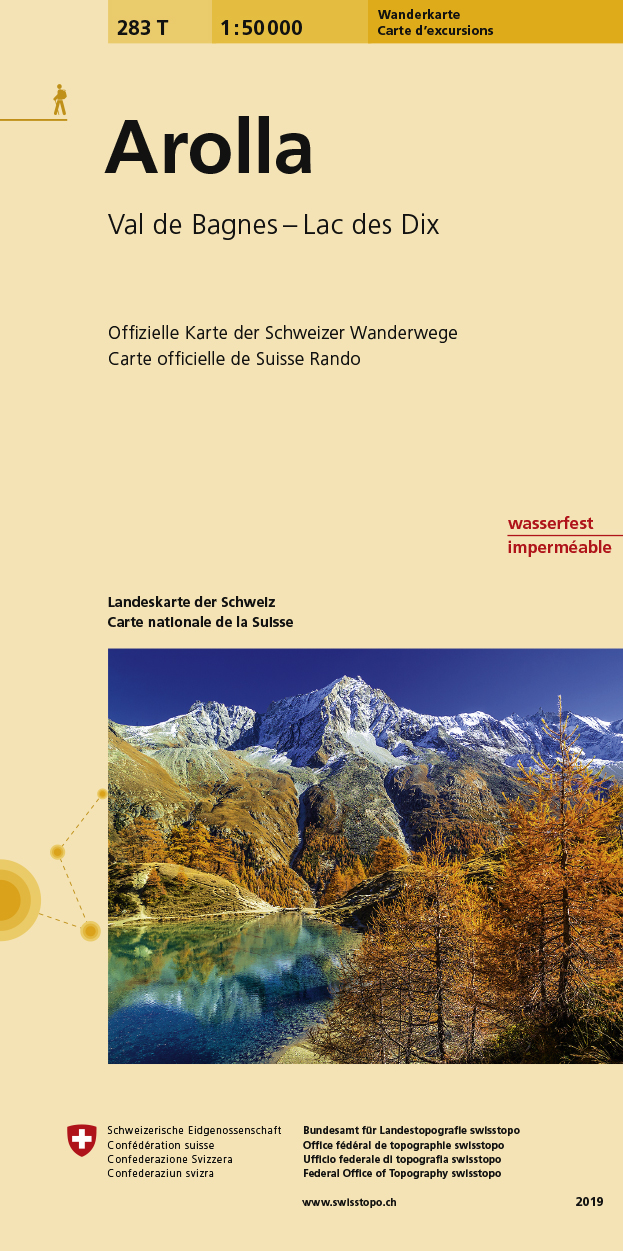
- Wandelkaart - Topografische kaart 283 Arolla | Swisstopo
- Arolla, map No. 283, in the standard topographic survey of Switzerland at 1:50,000 from Swisstopo, i.e. without the special overprint highlighting walking trails, local bus stops, etc, presented in Swisstopo Read more
- Also available from:
- Stanfords, United Kingdom

Stanfords
United Kingdom
United Kingdom
- Arolla Swisstopo 283
- Arolla, map No. 283, in the standard topographic survey of Switzerland at 1:50,000 from Swisstopo, i.e. without the special overprint highlighting walking trails, local bus stops, etc, presented in Swisstopo’s hiking editions of the 50K survey. The map covers the peaks from the Matterhorn to Grand Combin, and the southern part of Val d’Herens... Read more
De Zwerver
Netherlands
2022
Netherlands
2022
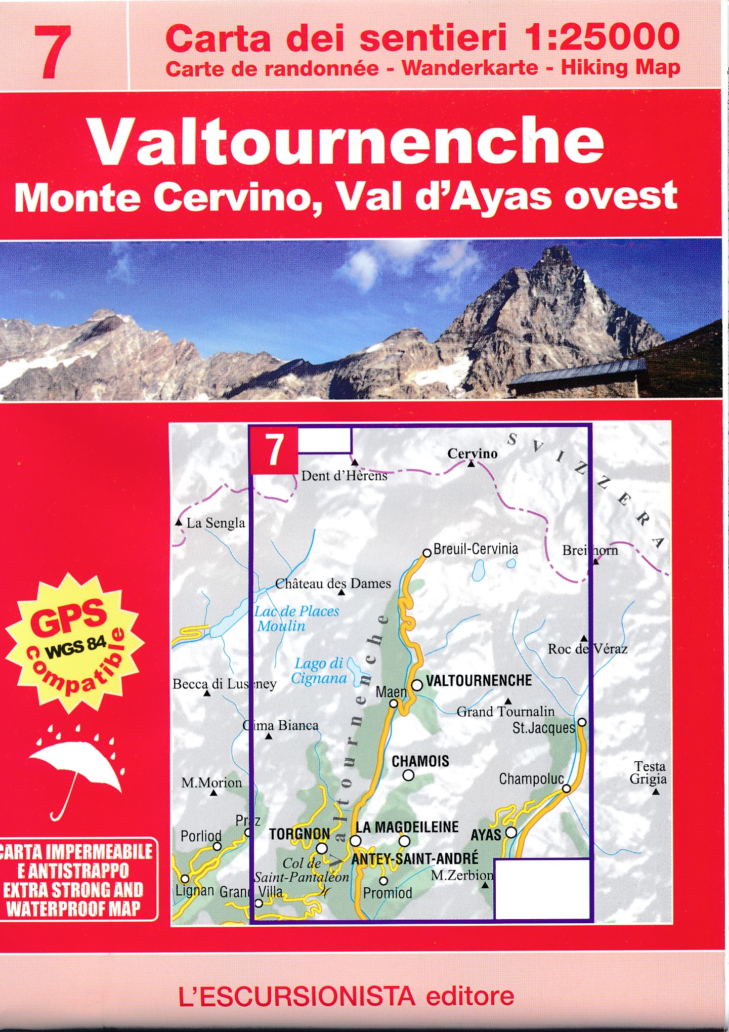
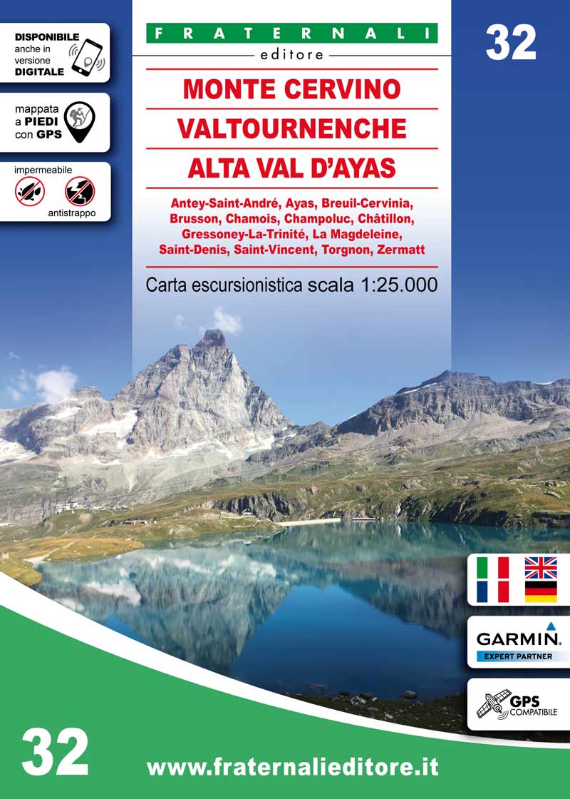
- Wandelkaart 07 Valtournenche, Monte Cervino | L'Escursionista editore
- Voor weinig gebieden in Italië zijn echt goede wandelkaarten beschikbaar. Dit is gelukkig zo'n serie: voor de noordwestelijke Alpen van Italië; Gran Paradiso, Mont Blanc en Aosta en omgeving. Met GPS grid uitgeruste detailkaart, schaal 1:25.000 met alle noodzakelijke wandelinformatie als ingetekende routes, Via Ferrata routes, campings,... Read more
De Zwerver
Netherlands
Netherlands
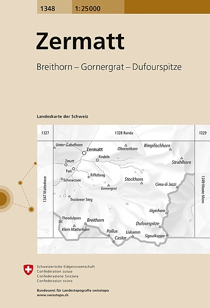
- Wandelkaart - Topografische kaart 1348 Zermatt | Swisstopo
- Map No. 1348, Zermatt, in the topographic survey of Switzerland at 1:25,000 from Bundesamt f Read more
- Also available from:
- Stanfords, United Kingdom

Stanfords
United Kingdom
United Kingdom
- Zermatt Swisstopo 1348
- Map No. 1348, Zermatt, in the topographic survey of Switzerland at 1:25,000 from Bundesamt für Landestopographie (swisstopo), covering the whole country on 247 small format sheets, with special larger maps published for popular regions including some titles now available in hiking versions.Highly regarded for their superb use of graphic relief... Read more
De Zwerver
Netherlands
Netherlands
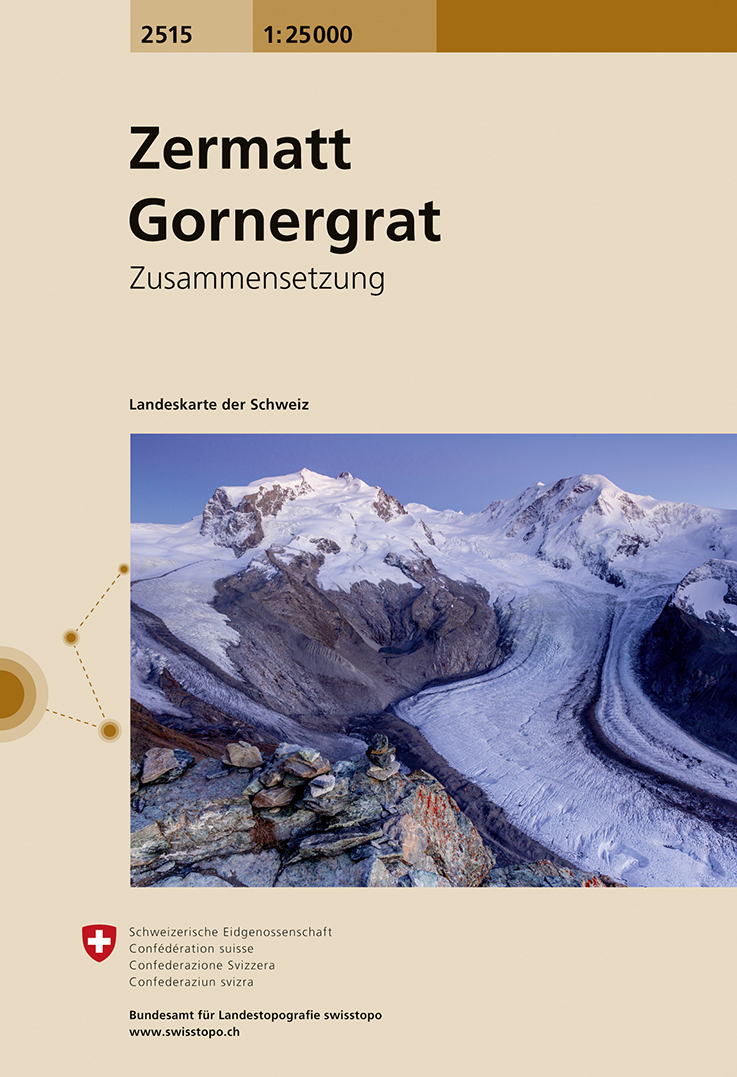
- Wandelkaart - Topografische kaart 2515 Zermatt - Gornergrat | Swisstopo
- Map No. 2515, Zermatt - Gornergrat, in the topographic survey of Switzerland at 1:25,000 from Swisstopo, covering the upper part of the Mattertal with T Read more
- Also available from:
- Stanfords, United Kingdom

Stanfords
United Kingdom
United Kingdom
- Zermatt - Gornergrat Swisstopo 2515
- Map No. 2515, Zermatt - Gornergrat, in the topographic survey of Switzerland at 1:25,000 from Swisstopo, covering the upper part of the Mattertal with Täsch and Zermatt and extending south across the peaks (Monte Rosa/Dufourspitze, Breithorn, Theodulpass, Matterhorn and Dents d’Hérens) to Breuil-Cervinia in Italy. Peaks on both sides of the... Read more
De Zwerver
Netherlands
Netherlands
- Also available from:
- Stanfords, United Kingdom

Stanfords
United Kingdom
United Kingdom
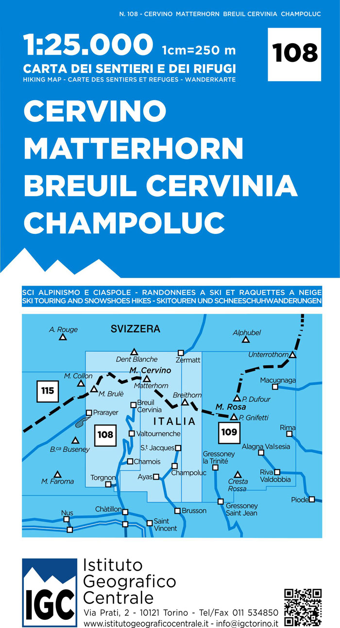
- Matterhorn / Cervino - Breuil Cervinia - Champoluc IGC 108
- Matterhorn/M. Cervino - Breuil-Cervinia - Champoluc area at 1:25,000 in a series of contoured, GPS compatible walking maps from the Turin based Istituto Geografico Centrale, highlighting hiking trails including long-distance routes, ski routes and alpine accommodation. Maps in this series have contours at 25m intervals, enhanced by shading and... Read more
De Zwerver
Netherlands
Netherlands
- Wandelkaart 283T Arolla | Swisstopo
- Arolla area, map No. 283T, at 1:50,000 in a special hiking edition of the country Read more
- Also available from:
- Stanfords, United Kingdom

Stanfords
United Kingdom
United Kingdom
- Arolla Swisstopo Hiking 283T
- Arolla area, map No. 283T, at 1:50,000 in a special hiking edition of the country’s topographic survey, published by Swisstopo in cooperation with the Swiss Hiking Federation. The map covers the peaks from the Matterhorn to Grand Combin, and the southern part of Val d’Herens with Evolène and La Forclaz.Cartography, identical to the standard... Read more
De Zwerver
Netherlands
Netherlands
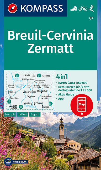
- Wandelkaart 87 Breuil-Cervinia - Zermatt | Kompass
- Breuil-Cervinia - Matterhorn - Zermatt area straddling the border of Italy and Switzerland on a GPS compatible hiking and recreational map at 1:50,000 from Kompass, printed on durable, waterproof and tear-resistant synthetic paper. Coverage extends north to Arolla and east to Monte Rosa, with Aosta in the south-western corner of the map, and... Read more
- Also available from:
- Stanfords, United Kingdom

Stanfords
United Kingdom
United Kingdom
- Breuil-Cervinia - Zermatt Kompass 87
- Breuil-Cervinia - Matterhorn - Zermatt area straddling the border of Italy and Switzerland on a GPS compatible hiking and recreational map at 1:50,000 from Kompass, printed on durable, waterproof and tear-resistant synthetic paper. Coverage extends north to Arolla and east to Monte Rosa, with Aosta in the south-western corner of the map, and... Read more
De Zwerver
Netherlands
Netherlands
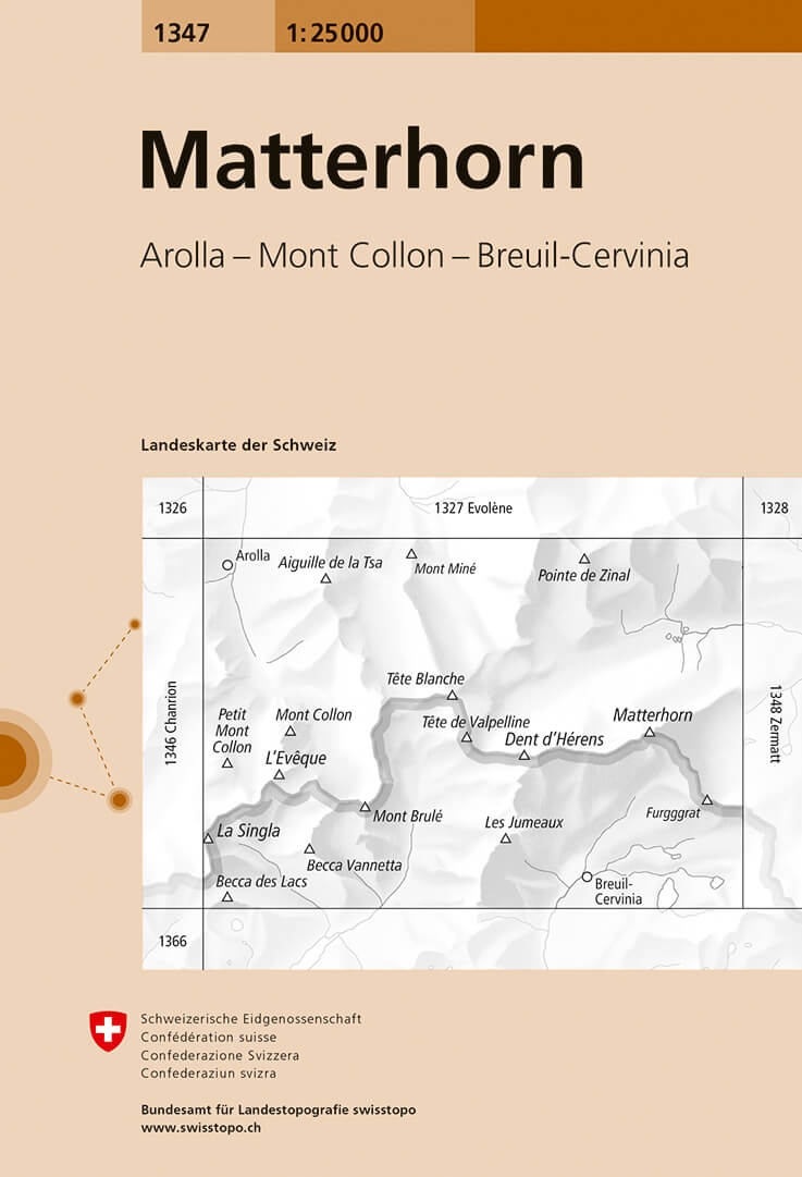
- Wandelkaart - Topografische kaart 1347 Matterhorn | Swisstopo
- Map No. 1347, Matterhorn, in the topographic survey of Switzerland at 1:25,000 from Bundesamt f Read more
- Also available from:
- Stanfords, United Kingdom

Stanfords
United Kingdom
United Kingdom
- Matterhorn Swisstopo 1347
- Map No. 1347, Matterhorn, in the topographic survey of Switzerland at 1:25,000 from Bundesamt für Landestopographie (swisstopo), covering the whole country on 247 small format sheets, with special larger maps published for popular regions including some titles now available in hiking versions.Highly regarded for their superb use of graphic... Read more
De Zwerver
Netherlands
Netherlands
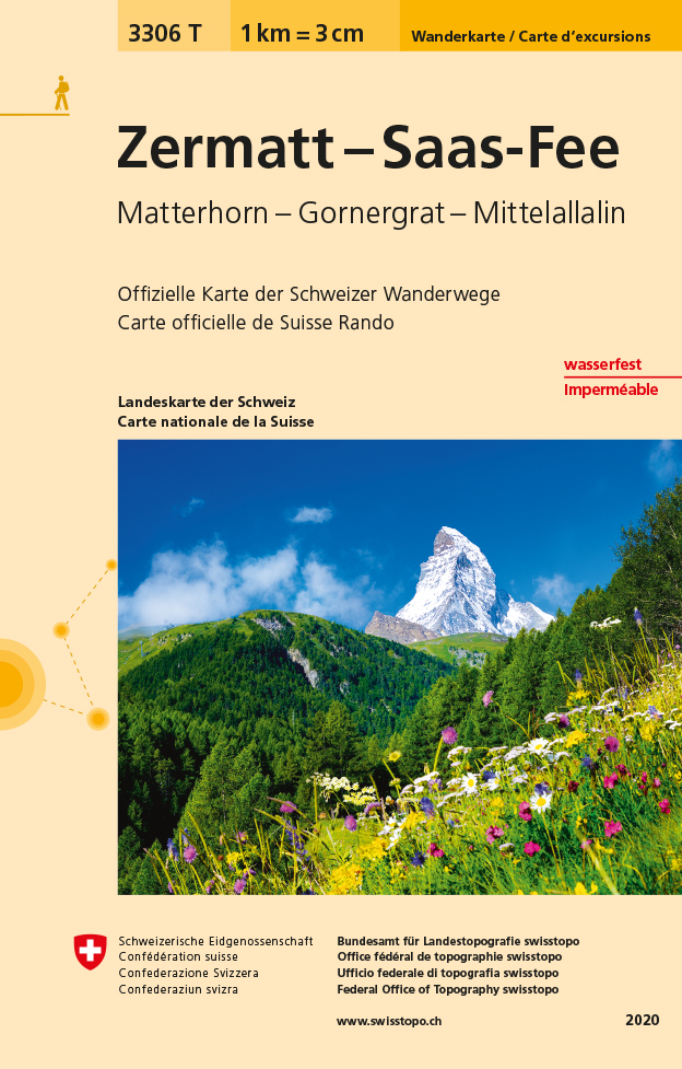
- Wandelkaart - Topografische kaart 3306T Zermatt - Saas - Fee | Swisstopo
- Een nieuwe serie van de Zwitserse topografische dienst: eindelijk goede wandelkaarten met ingetekende wandelroutes op scheur- en watervast papier. Vooralsnog zijn ze uitgebracht van de populaire wandelgebieden en niet landelijk dekkend (zie overzicht) Op een gedetailleerde schaal van 1:33.333 met als ondergrond de onovertroffen topografische... Read more
- Also available from:
- Stanfords, United Kingdom

Stanfords
United Kingdom
United Kingdom
- Zermatt - Saas-Fee - Matterhorn - Gornergrat - Mittelallalin Swisstopo Hiking 3306T
- Zermatt - Saas Fee - Matterhorn - Gornergrat - Mischabel area at 1:33,333 on light, waterproof and tear-resistant map No. 3306T published by Swisstopo in cooperation with the Swiss Hiking Federation. Cartography is the same as in Swisstopo’s 50K hiking maps, simply enlarged to 1:33,333 for extra clarity but without additional information.... Read more
De Zwerver
Netherlands
Netherlands
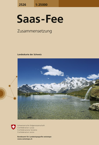
- Wandelkaart - Topografische kaart 2526 Saas - Fee | Swisstopo
- Map No. 2526, Saas-Fee, in the topographic survey of Switzerland at 1:25,000 from Swisstopo, covering the central part of the Mischabel range and both sides of the two adjoining valleys: the Mattertal between Zermatt and St Niklaus and the Saastal from north of Saas-Balen to the Mattmark Reservoir. Please note: Zermatt is at the southern edge... Read more
- Also available from:
- Stanfords, United Kingdom

Stanfords
United Kingdom
United Kingdom
- Saas-Fee Swisstopo 2526
- Map No. 2526, Saas-Fee, in the topographic survey of Switzerland at 1:25,000 from Swisstopo, covering the central part of the Mischabel range and both sides of the two adjoining valleys: the Mattertal between Zermatt and St Niklaus and the Saastal from north of Saas-Balen to the Mattmark Reservoir. Please note: Zermatt is at the southern edge... Read more
De Zwerver
Netherlands
Netherlands
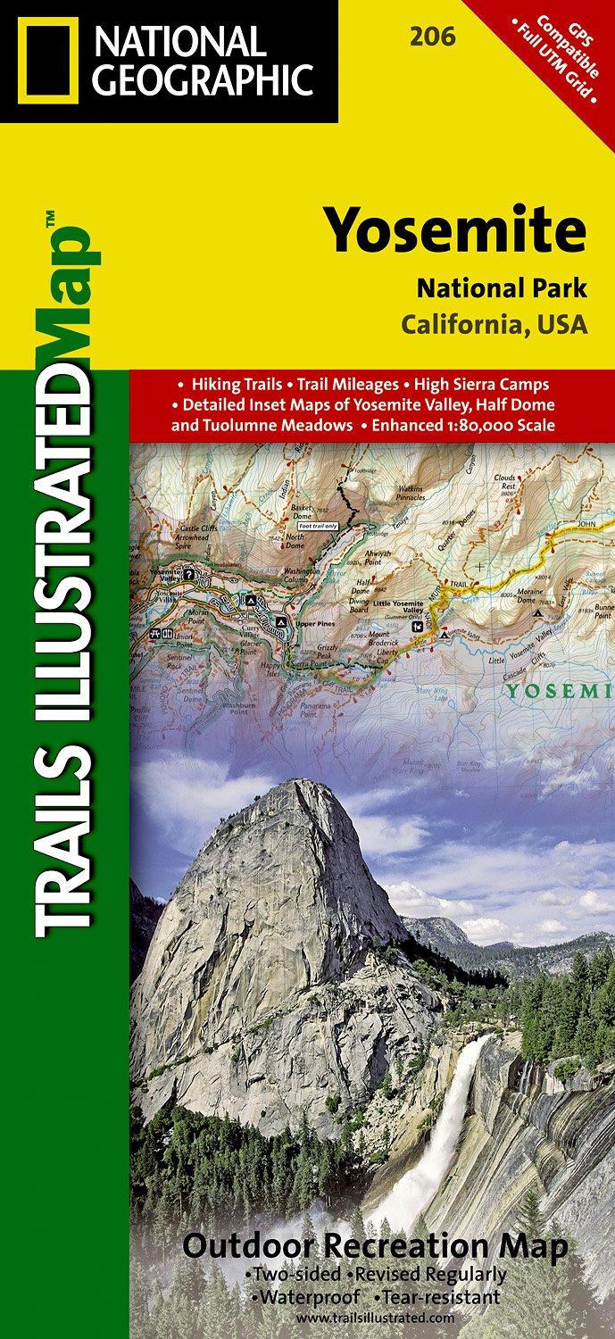
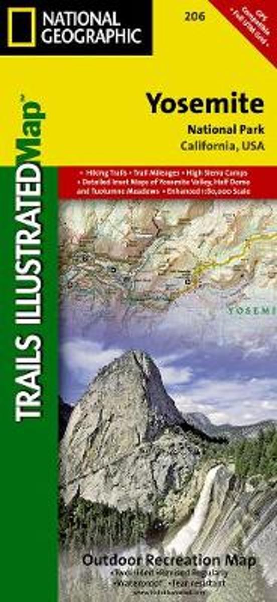
- Wandelkaart - Topografische kaart 206 Yosemite National Park | National Geographic
- Prachtige geplastificeerde kaart van het bekende nationaal park. Met alle recreatieve voorzieningen als campsites, maar ook met topografische details en wandelroutes ed. Door uitgekiend kleurgebruik zeer prettig in gebruik. Scheur en watervast! Coverage includes Stanislaus National Forest, Emigrant Wilderness, Carson Iceberg Wilderness, Toiyabe... Read more
- Also available from:
- Bol.com, Netherlands
- Bol.com, Belgium
- Stanfords, United Kingdom
- The Book Depository, United Kingdom
Bol.com
Netherlands
Netherlands
- Yosemite National Park
- Waterproof Tear-Resistant Topographic MapExplore the majesty of Yosemite National Park with National Geographic's Trails Illustrated map. Loaded with helpful information on camping, hiking, lodging, transportation, regulations, and safety, this map is an invaluable tool for casual park visitors and avid adventurers alike. Expertly... Read more
Bol.com
Belgium
Belgium
- Yosemite National Park
- Waterproof Tear-Resistant Topographic MapExplore the majesty of Yosemite National Park with National Geographic's Trails Illustrated map. Loaded with helpful information on camping, hiking, lodging, transportation, regulations, and safety, this map is an invaluable tool for casual park visitors and avid adventurers alike. Expertly... Read more

Stanfords
United Kingdom
United Kingdom
- Yosemite National Park CA NGS Trails Illustrated Map 206
- Map No. 206, Yosemite National Park, CA, in an extensive series of GPS compatible, contoured hiking maps of USA’s national and state parks or forests and other popular recreational areas. Cartography based on the national topographic survey, with additional tourist information.The maps, with most titles now printed on light, waterproof and... Read more


Stanfords
United Kingdom
United Kingdom
- Tour of the Matterhorn / Cervino L`Escursionista Editore Map-Guide
- Tour of the Matternhorn (Il Cervino) & Gran Balconata del Cervino long-distance hiking routes presented on a waterproof and tear-restant, double-sided, contoured and GPS compatible map published jointly by L’Escursionista Editore and Editrek, with a separate guide booklet for each route.On one side is a map at 1:50,000 showing the Tour of the... Read more