
Sardinia
Beschrijving
Second largest island in the Mediterranean.
Paden in deze regio
Links
Feiten
Verslagen
Gidsen en kaarten
Overnachting
Organisaties
Reisorganisaties
GPS
Anders
Boeken
De Zwerver
Netherlands
2016
Netherlands
2016
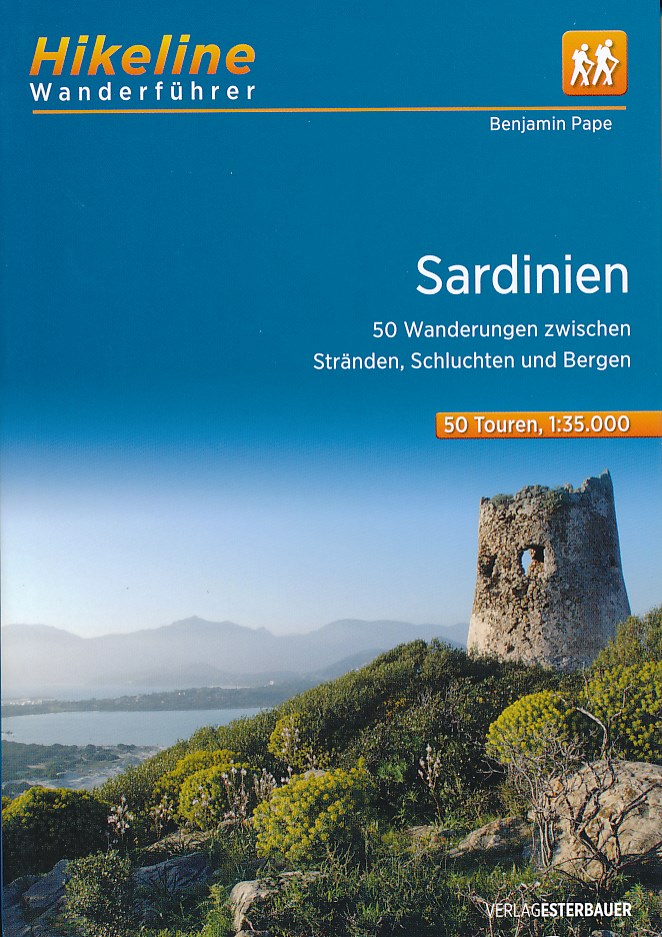
- Wandelgids Hikeline Sardinië - Sardinien | Esterbauer
- 50 Wanderungen zwischen Stränden, Schluchten und Bergen, 50 Touren, 560 km. 1. Auflage. Read more
De Zwerver
Netherlands
2018
Netherlands
2018
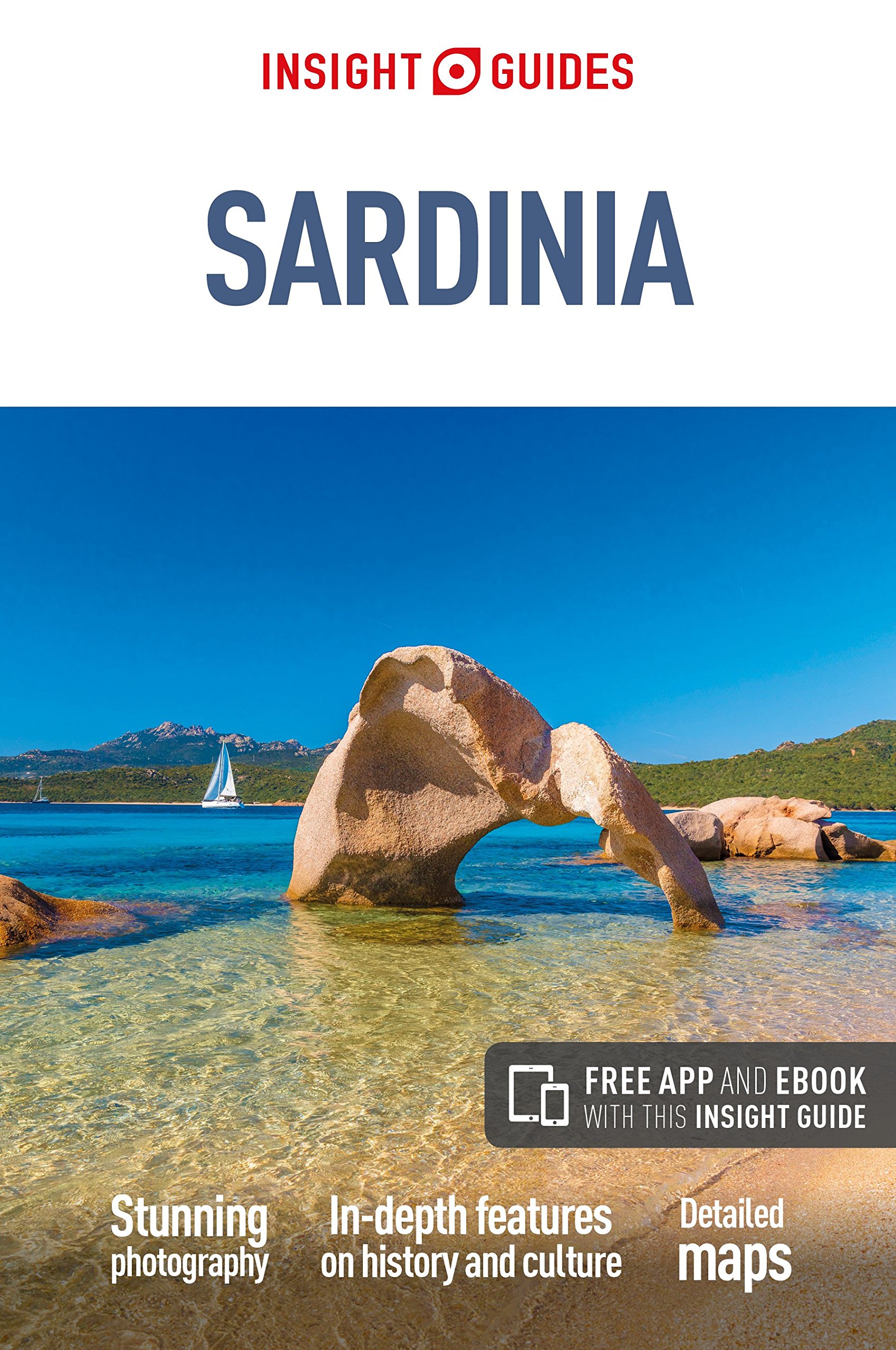
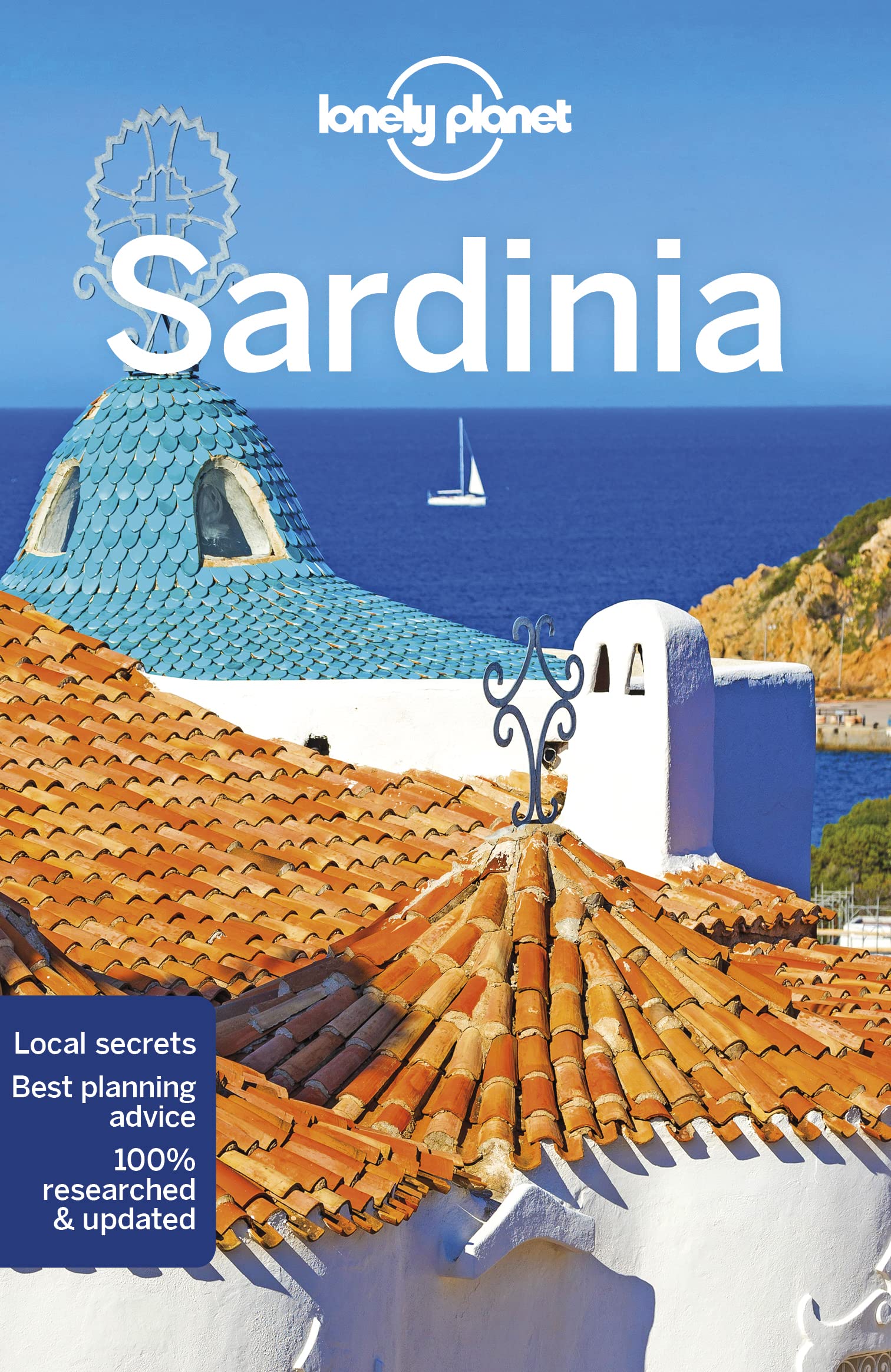
- Reisgids Sardinia - Sardinië | Insight Guides
- Dé gids als het gaat om achtergrondinformatie en prachtige fotos. Door het formaat en gewicht niet zo zeer om mee te nemen, als wel om thuis voor en na de reis uitgebreid te lezen. Kwalitatief van een hoog niveau! Engels. Sardinia is known for its crystal-clear emerald seas, snow-white beaches and glitzy resorts, but those who venture inland... Read more
De Zwerver
Netherlands
2016
Netherlands
2016
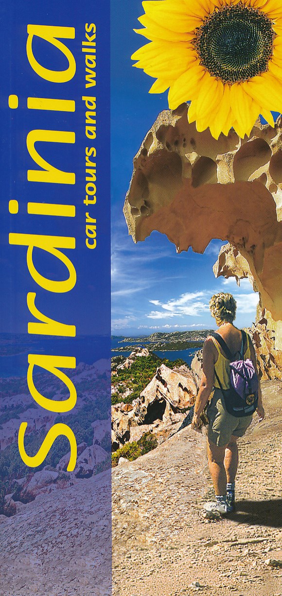
- Wandelgids Sardinia - Sardinië | Sunflower books
- Sardinia is the Sunflower Landscapes guide to exploring the best walking and touring possibilities on the island. The guide covers a range of routes including walks in Gallura, Supramonte, Barbagia, Marmilla, Costa del Sud, Iglesiente, Catena del Goceano and Nurra. A double-sided, fold-out touring map at the back of the book gives an overview... Read more
- Also available from:
- Stanfords, United Kingdom

Stanfords
United Kingdom
2016
United Kingdom
2016
- Sardinia Sunflower Landscape Guide
- Sardinia is the Sunflower Landscapes guide to exploring the best walking and touring possibilities on the island. The guide covers a range of routes including walks in Gallura, Supramonte, Barbagia, Marmilla, Costa del Sud, Iglesiente, Catena del Goceano and Nurra. A double-sided, fold-out touring map at the back of the book gives an overview... Read more
De Zwerver
Netherlands
Netherlands
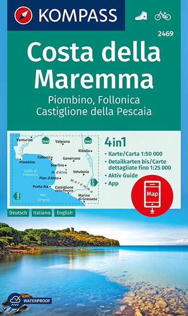
- Wandelkaart 2469 Costa della Maremma | Kompass
- Die GPS-genauen KOMPASS Karten sind ideal für Ihre nächste Tour! Der lesefreundliche Maßstab und nützliche Informationen über die Region erleichtern Ihre Planung.IT Read more
- Also available from:
- Stanfords, United Kingdom

Stanfords
United Kingdom
United Kingdom
- Maremma Coast - Piombino - Follonica - Castiglione della Pascaia Kompass 2469
- The coast of Maremma at 1:50,000 from Kompass, on a map printed on durable, waterproof and tear-resistant synthetic paper. Coverage includes Piombino, Follonica, Castiglione della Pescaia, Marina di Grosseto, Wetulonia, Ribolla, Valpiana, Venturina, etc. Contours are at 40m intervals, with a 2-km UTM grid. Extensive overprint includes cycling... Read more
Bol.com
Netherlands
Netherlands
- Rough Water Handling
- Rough Water Handling by Doug Cooper is a practical guide that will help you to master the skills needed to manoeuvre a sea kayak efficiently in rough water and advanced conditions. For intermediate and advanced paddlers, Doug draws on his personal and coaching experience to help the reader master sea kayak handling skills and techniques.... Read more
- Also available from:
- Bol.com, Belgium
Bol.com
Belgium
Belgium
- Rough Water Handling
- Rough Water Handling by Doug Cooper is a practical guide that will help you to master the skills needed to manoeuvre a sea kayak efficiently in rough water and advanced conditions. For intermediate and advanced paddlers, Doug draws on his personal and coaching experience to help the reader master sea kayak handling skills and techniques.... Read more
De Zwerver
Netherlands
2023
Netherlands
2023
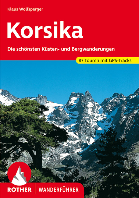
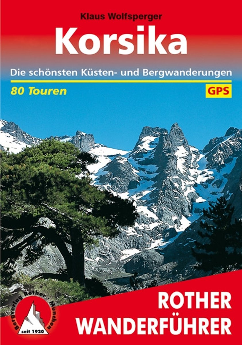
- Wandelgids 255 Korsika - Corsica | Rother Bergverlag
- Uitstekende wandelgids met een groot aantal dagtochten in dal en hooggebergte. Met praktische informatie en beperkt kaartmateriaal! Wandelingen in verschillende zwaarte weergegeven in rood/blauw/zwart. Das Standardwerk zu Korsika – 58 ausgewählte Wanderungen an den Küsten und in den Bergen der »Insel der Schönheit« Bizarre Felsküsten, liebliche... Read more
- Also available from:
- Bol.com, Netherlands
- Bol.com, Belgium
Bol.com
Netherlands
2015
Netherlands
2015
- Wanderungen Auf Korsika
- Das Standardwerk zu Korsika 80 ausgew hlte Wanderungen an den K sten und in den Bergen der Insel der Sch nheit Bizarre Felsk sten, liebliche Sandbuchten, herrliche Kastanien- und Kiefernw lder, blitzsaubere B che, zauberhafte Bergseen, Gipfelziele bis ber 2700 Meter H he, und dazu noch ein weitgehend ungetr btes Naturerlebnis welche... Read more
Bol.com
Belgium
2015
Belgium
2015
- Wanderungen Auf Korsika
- Das Standardwerk zu Korsika 80 ausgew hlte Wanderungen an den K sten und in den Bergen der Insel der Sch nheit Bizarre Felsk sten, liebliche Sandbuchten, herrliche Kastanien- und Kiefernw lder, blitzsaubere B che, zauberhafte Bergseen, Gipfelziele bis ber 2700 Meter H he, und dazu noch ein weitgehend ungetr btes Naturerlebnis welche... Read more
Bol.com
Netherlands
2016
Netherlands
2016
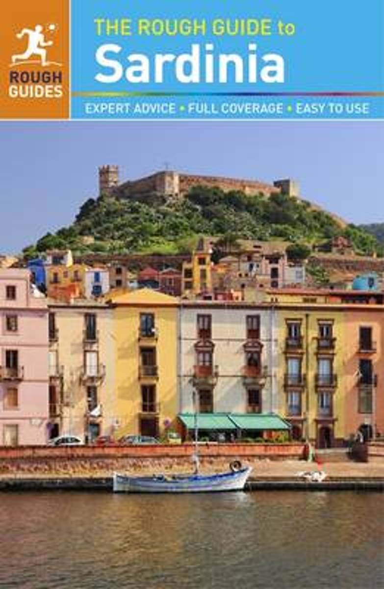
- Rough Guide - Sardinia
- The Rough Guide to Sardinia is the ultimate travel guide to one of the Mediterranean's most fascinating islands.Discover Sardinia's highlights with stunning photography, color-coded maps, and more listings and information than ever before. You'll find detailed practical advice on what to see and do in Sardinia, from museums and archaeological... Read more
- Also available from:
- Bol.com, Belgium
Bol.com
Belgium
2016
Belgium
2016
- Rough Guide - Sardinia
- The Rough Guide to Sardinia is the ultimate travel guide to one of the Mediterranean's most fascinating islands.Discover Sardinia's highlights with stunning photography, color-coded maps, and more listings and information than ever before. You'll find detailed practical advice on what to see and do in Sardinia, from museums and archaeological... Read more
Bol.com
Netherlands
2017
Netherlands
2017
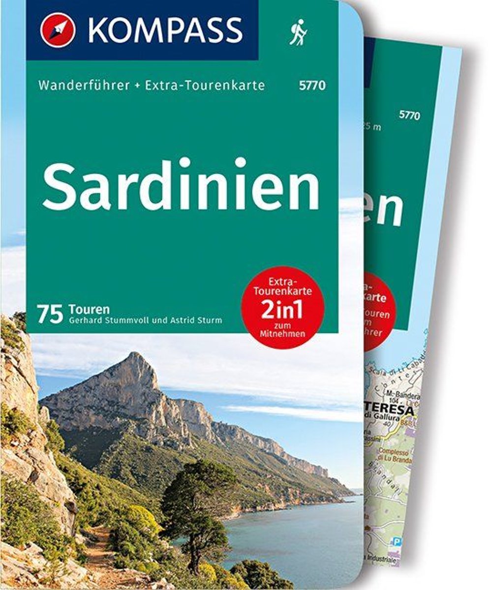
- WF5770 Sardinien mit Karte Kompass
- De Kompass wandelgids + kaart geeft een overzicht van alle wandelroutes in het gebied met nauwkeurige routeaanwijzingen en hoogteaanduidingen, De extra grote kaart, schaal 1:35 000, is ideaal om van te voren uw route uit te stippelen en om onderweg te gebruiken; naast de bekende bestemmingen, worden ook de minder bekende vermeld; openbaar... Read more
- Also available from:
- Bol.com, Belgium
Bol.com
Belgium
2017
Belgium
2017
- WF5770 Sardinien mit Karte Kompass
- De Kompass wandelgids + kaart geeft een overzicht van alle wandelroutes in het gebied met nauwkeurige routeaanwijzingen en hoogteaanduidingen, De extra grote kaart, schaal 1:35 000, is ideaal om van te voren uw route uit te stippelen en om onderweg te gebruiken; naast de bekende bestemmingen, worden ook de minder bekende vermeld; openbaar... Read more
Kaarten

De Zwerver
Netherlands
Netherlands
- Wandelkaart 2458 Firenze - Siena - Chianti | Kompass
- Florence - Siena - Chianti area on a double-sided map at 1:50,000 from Kompass, printed on durable, waterproof and tear-resistant synthetic paper. Coverage includes Val di Pesa, Val d’Elsa, Monteriggioni, etc. Contours are at 40m intervals, with a 2-km UTM grid. Extensive overprint includes GEA - Grande Escursione Appenninica, Sentiero Italia,... Read more
- Also available from:
- Stanfords, United Kingdom

Stanfords
United Kingdom
United Kingdom
- Florence - Siena - Chianti Kompass 2458
- Florence - Siena - Chianti area on a double-sided map at 1:50,000 from Kompass, printed on durable, waterproof and tear-resistant synthetic paper. Coverage includes Val di Pesa, Val d’Elsa, Monteriggioni, etc. Contours are at 40m intervals, with a 2-km UTM grid. Extensive overprint includes GEA - Grande Escursione Appenninica, Sentiero Italia,... Read more
De Zwerver
Netherlands
Netherlands
- Wegenkaart - landkaart Italië | Borch
- Italia / Italien / Italy 1 : 800 000 ab 9.9 EURO Italia Nord / Italia Sud / Sardegna / Sicília. Laminiert Borch Map. Neuauflage, Nachdruck. Read more
De Zwerver
Netherlands
Netherlands
De Zwerver
Netherlands
Netherlands
- Also available from:
- Stanfords, United Kingdom
Stanfords
United Kingdom
United Kingdom
- Maremma - Grosseto - Monte Argentario - Isola di Giglio Kompass 2470
- Maremma - Grosseto - Monte Argentario - Isola di Giglio area on a double-sided map at 1:50,000 from Kompass, printed on durable, waterproof and tear-resistant synthetic paper. Coverage includes Parco Regionale della Maremma, Parco Naturale dell’Iccellina, Monte Bellino, etc. Contours are at 40m intervals, with a 2-km UTM grid. Extensive... Read more
De Zwerver
Netherlands
2024
Netherlands
2024
De Zwerver
Netherlands
Netherlands
- Wegenkaart - landkaart 3309 Sardinia - Sardinië | National Geographic
- Wegenkaart van Sardinië, Italië met vermelding van veel bezienswaardigheden, nationale parken en attrakties. Watervast en scheurvast. Juist door deze vermeldingen onderscheidt de kaart zich van andere wegenkaarten. Sardinia Adventure Map is designed to meet the unique needs of adventure travelers—detailed, durable, and accurate. Sicily includes... Read more
De Zwerver
Netherlands
Netherlands
De Zwerver
Netherlands
Netherlands
- Wandelkaart 102 Gardasee - Lago di Garda - Lake Garda | Kompass
- Lake Garda and the surrounding mountain on a waterproof and tear-resistant, contoured and GPS compatible map at 1:50,000 from Kompass with hiking and cycling trails, plus on the reverse a panorama map of the area, street plans of central Verona, Riva del Garda and Peschiera, and extensive English language to the area. Contours are at 40m... Read more
- Also available from:
- Stanfords, United Kingdom
Stanfords
United Kingdom
United Kingdom
- Lake Garda - Monte Baldo Kompass 102
- Lake Garda and the surrounding mountain on a waterproof and tear-resistant, contoured and GPS compatible map at 1:50,000 from Kompass with hiking and cycling trails, plus on the reverse a panorama map of the area, street plans of central Verona, Riva del Garda and Peschiera, and extensive English language to the area. Contours are at 40m... Read more
De Zwerver
Netherlands
Netherlands
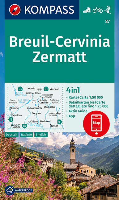
- Wandelkaart 87 Breuil-Cervinia - Zermatt | Kompass
- Breuil-Cervinia - Matterhorn - Zermatt area straddling the border of Italy and Switzerland on a GPS compatible hiking and recreational map at 1:50,000 from Kompass, printed on durable, waterproof and tear-resistant synthetic paper. Coverage extends north to Arolla and east to Monte Rosa, with Aosta in the south-western corner of the map, and... Read more
- Also available from:
- Stanfords, United Kingdom
Stanfords
United Kingdom
United Kingdom
- Breuil-Cervinia - Zermatt Kompass 87
- Breuil-Cervinia - Matterhorn - Zermatt area straddling the border of Italy and Switzerland on a GPS compatible hiking and recreational map at 1:50,000 from Kompass, printed on durable, waterproof and tear-resistant synthetic paper. Coverage extends north to Arolla and east to Monte Rosa, with Aosta in the south-western corner of the map, and... Read more
De Zwerver
Netherlands
2017
Netherlands
2017
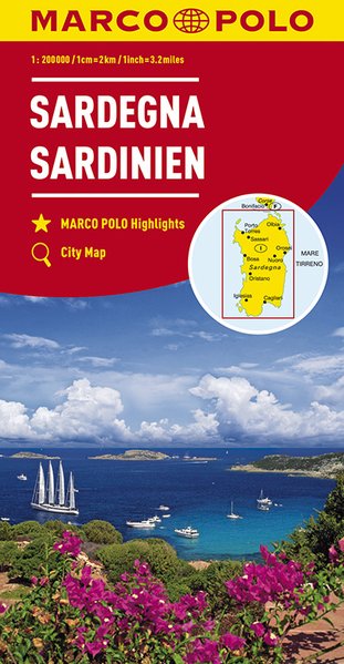
- Wegenkaart - landkaart 15 Sardinien - Sardinië | Marco Polo
- MARCO POLO Karte Italien 15. Sardinien 1:200 000 ab 9.99 EURO MARCO POLO Karten 1:200. 000. 7. Auflage Read more

De Zwerver
Netherlands
Netherlands
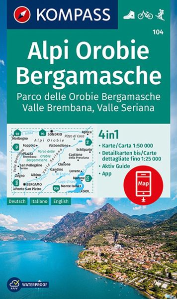
- Wandelkaart 104 Alpi Orobie Bergamasche, Parco delle Orobie Bergamasche, Valle Brembana, Valle Seriana | Kompass
- Alpi Orobie (Bergamasker Alps) between Bergamo and Sondrio including Lago d’Iseo, on a GPS compatible hiking and recreational map at 1:50,000 from Kompass, printed on durable, waterproof and tear-resistant synthetic paper.KOMPASS HIKING MAPS OF ITALY – TO SEE THE OTHER TITLES IN THIS SERIES PLEASE CLICK ON THE SERIES LINK. The series covers the... Read more
- Also available from:
- Stanfords, United Kingdom
Stanfords
United Kingdom
United Kingdom
- Alpi Orobie Bergamasche - Valle Brembana - Valle Seriana Kompass 104
- Alpi Orobie (Bergamasker Alps) between Bergamo and Sondrio including Lago d’Iseo, on a GPS compatible hiking and recreational map at 1:50,000 from Kompass, printed on durable, waterproof and tear-resistant synthetic paper.KOMPASS HIKING MAPS OF ITALY – TO SEE THE OTHER TITLES IN THIS SERIES PLEASE CLICK ON THE SERIES LINK. The series covers the... Read more
De Zwerver
Netherlands
Netherlands
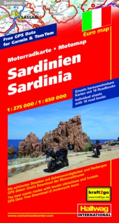
- Wegenkaart - landkaart Motomap Motorkaart Sardinië - Sardinie | Hallwag
- Motomap Sardinien 1 : 275 000 / 1 : 650 000 ab 16.95 EURO Die schönsten Strecken mit Sehenswürdigkeiten und Herbergen. GPS-Daten: Gratis Download der Motorradtouren Hallwag Motorradkarte Euro map Bikers´ Paradise. 2. Auflage, Laufzeit bis 2021 Read more