
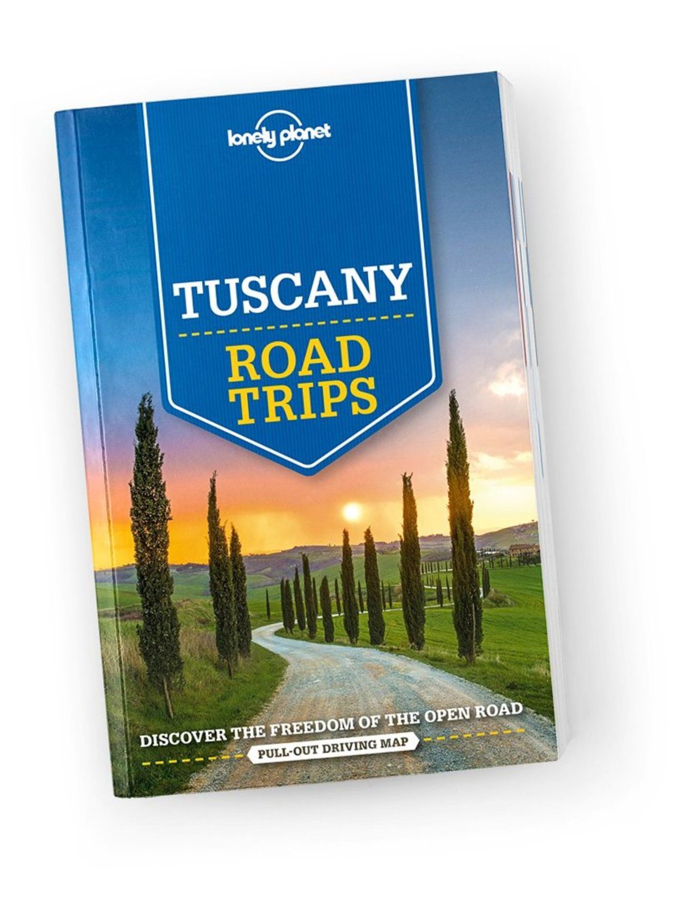
Toscana
Beschrijving
Famous and picturesque region between Florence (Firenze) and Sienna.
Paden in deze regio
Links
Feiten
Verslagen
Gidsen en kaarten
Overnachting
Organisaties
Reisorganisaties
GPS
Anders
Boeken
De Zwerver
Netherlands
2012
Netherlands
2012
- Reisgids Kunstreiseführer Friaul und Triest | Dumont
- Das Thema dieses Kunst-Reiseführers ist die italienische Region Friaul- Julisch Venetien. Sie besteht aus zwei Provinzen, von denen das Friaul die weitaus größere ist. Julisch Venetien dagegen umfasst seit 1954 nur noch die Stadt Triest und einen kleinen Küstenstreifen bis Muggia. Wie ein Amphitheater liegt das Friaul im äußersten Nordosten... Read more
De Zwerver
Netherlands
2018
Netherlands
2018
De Zwerver
Netherlands
2017
Netherlands
2017
- Reisgids Trotter Toscane Umbrië | Lannoo
- Veel aandacht voor praktische informatie als hotels en restaurants, maar ook, soms wat beperkte beschrijvingen van bezienswaardigheden. Handig zijn de vele plattegronden: verrassend en verfrissend geschreven! -De no-nonsensegids voor een allesomvattende trip - Praktische en overzichtelijke gids voor de zelfstandige reiziger die weet wat hij... Read more
De Zwerver
Netherlands
2022
Netherlands
2022
De Zwerver
Netherlands
2018
Netherlands
2018
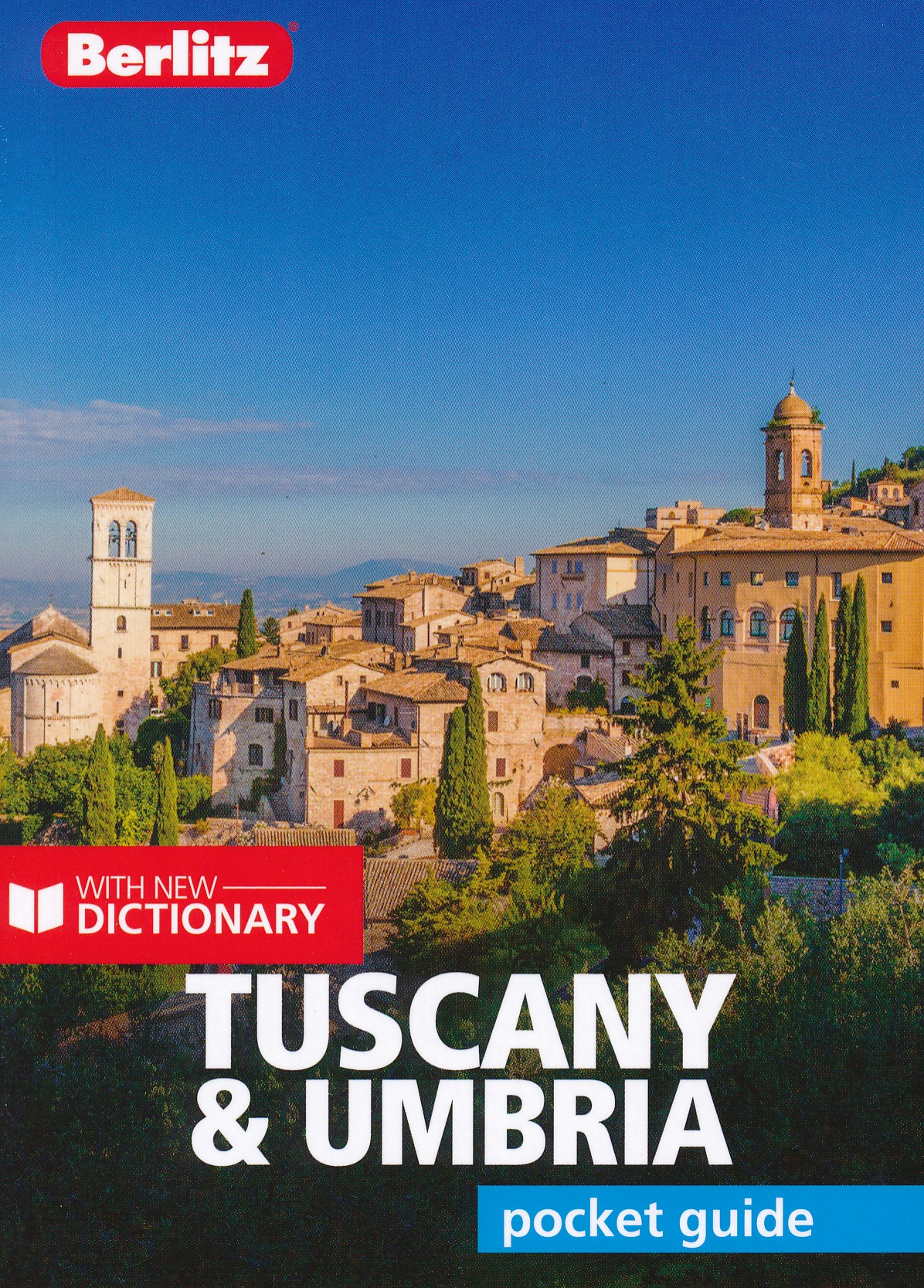
- Reisgids Pocket Guide Tuscany - Umbria, Toscane en Umbrie | Berlitz
- Toscane en Umbrie Pocket Guide Berlitz is een handzaam engelstalige reisgids met bezienswaardigheden, kaartjes, hotels en restaurants Berlitz Pocket Guide Tuscany and Umbria is a concise, full-colour travel guide that combines lively text with vivid photography to highlight the very best that this bountiful region has to offer, from its... Read more
De Zwerver
Netherlands
2007
Netherlands
2007
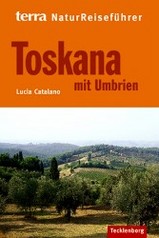
- Natuurgids NaturReiseführer Toskana mit Umbrien | Tecklenborg
- Duitstalige natuurreisgids met leuke informatie welke flora en fauna waar te zien is. Goede beschrijvingen en mooie foto´s. Beschrijft wel een selectie van natuurgebieden, niet uitputtend voor hele land. Neben den weltweit bekannten Hügeln mit Zypressen, Weingärten und Olivenhainen bietet das Gebiet „Toskana und Umbrien´´ dem Naturfreund eine... Read more
De Zwerver
Netherlands
2023
Netherlands
2023
De Zwerver
Netherlands
2019
Netherlands
2019
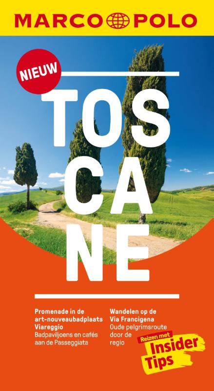
- Reisgids Marco Polo NL Toscane | 62Damrak
- Marco Polo reisgids voor Toscane. Handig pocketformaat, boordevol informatie, met uitneembare kaart achter in het boek en atlas-pagina's. Met Insider Tips om Toscane écht te ontdekken en de TOP 15 van bezienswaardigheden in één oogopslag. Veel up-to-date informatie in overzichtelijke hoofdstukken: sightseeing, eten & drinken, winkelen, uitgaan,... Read more
Kaarten
De Zwerver
Netherlands
Netherlands
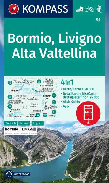
- Wandelkaart 96 Bormio - Livigno - Alta Valtellina | Kompass
- Map No. 96, Bormio - Livigno - Corna di Campo, from Kompass printed on sturdy, waterproof and tear-resistant synthetic paper in a series of walking maps of selected areas of Italy at 1:50,000, with hiking routes on a topographic base, various types of accommodation, recreational facilities, places of interest, etc. Kompass are Europe’s largest... Read more
- Also available from:
- Stanfords, United Kingdom

Stanfords
United Kingdom
United Kingdom
- Bormio - Livigno - Alta Valtellina Kompass 96
- Map No. 96, Bormio - Livigno - Corna di Campo, from Kompass printed on sturdy, waterproof and tear-resistant synthetic paper in a series of walking maps of selected areas of Italy at 1:50,000, with hiking routes on a topographic base, various types of accommodation, recreational facilities, places of interest, etc. Kompass are Europe’s largest... Read more
De Zwerver
Netherlands
Netherlands
De Zwerver
Netherlands
2018
Netherlands
2018
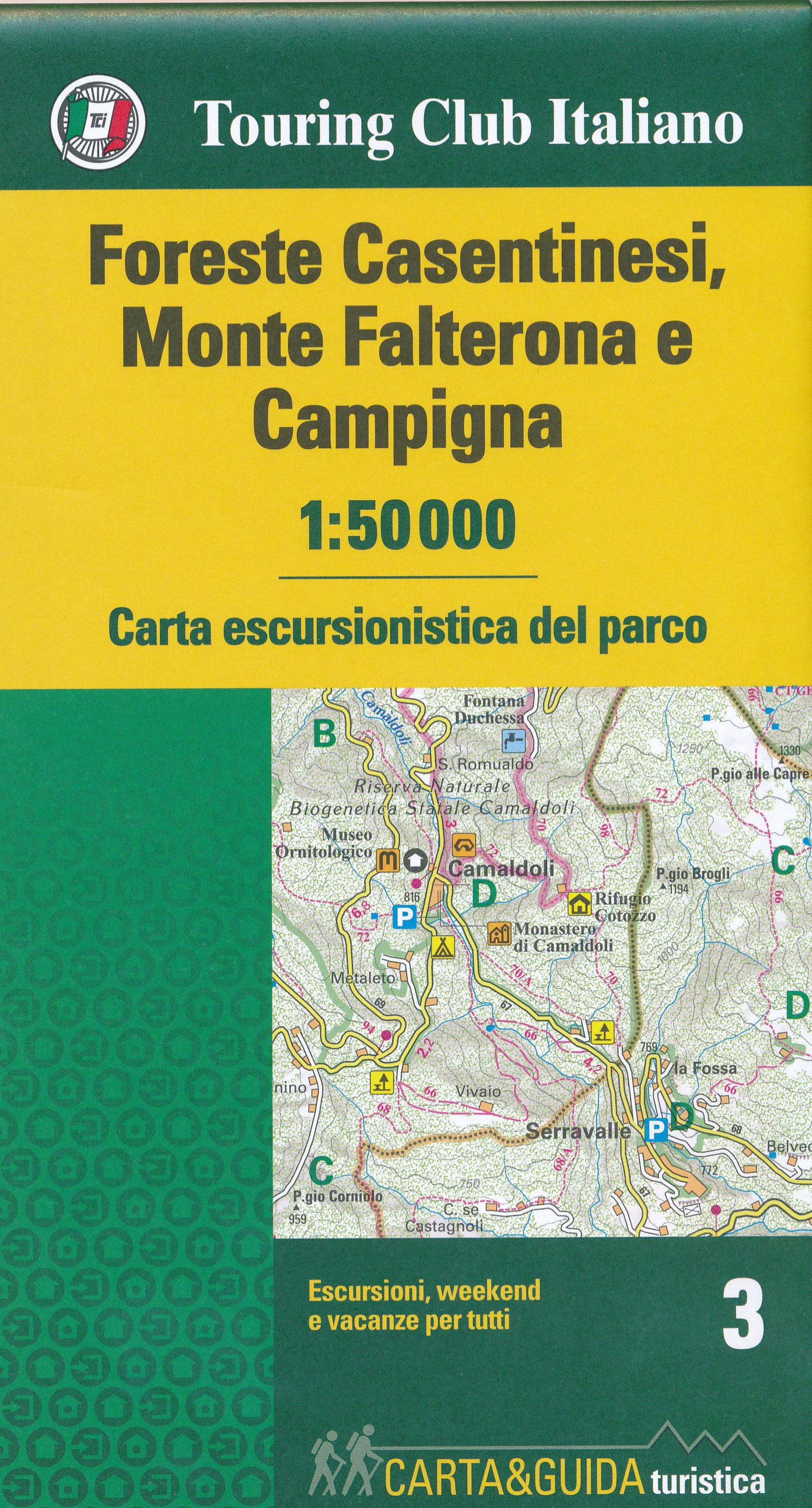
- Wandelkaart 3 Carta-guida Foreste Casentinesi, Monte Falterona e Campigna | Touring Club Italiano
- Een nieuwe serie van een aantal belangrijke natuurgebieden en nationale parken in Italie. Routes voor iedereen: gezinnen, jongeren, wandelaars, sporters, natuurliefhebbers en kampeerders. Elke titel bestaat uit een wandelkaart op een schaal van 1:50 000 en een parkgids. De kaart bevat: - weg-, autosnelweg-, spoor- en navigatie-lijnen, handig om... Read more
De Zwerver
Netherlands
2018
Netherlands
2018
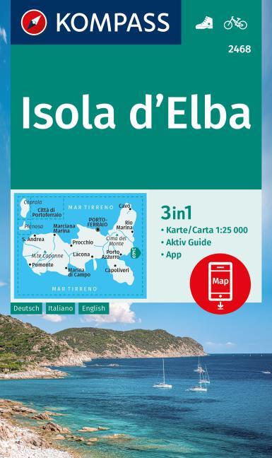
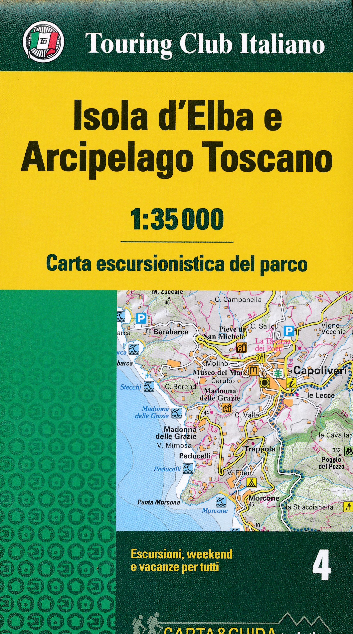
- Wandelkaart 4 Carta-guida Isola d'Elba - Archipelago Toscano | Touring Club Italiano
- Een nieuwe serie van een aantal belangrijke natuurgebieden en nationale parken in Italie. Routes voor iedereen: gezinnen, jongeren, wandelaars, sporters, natuurliefhebbers en kampeerders. Elke titel bestaat uit een wandelkaart op een schaal van 1:35 000 en een parkgids. De kaart bevat: - weg-, autosnelweg-, spoor- en navigatie-lijnen, handig om... Read more

De Zwerver
Netherlands
Netherlands
- Wandelkaart 2458 Firenze - Siena - Chianti | Kompass
- Florence - Siena - Chianti area on a double-sided map at 1:50,000 from Kompass, printed on durable, waterproof and tear-resistant synthetic paper. Coverage includes Val di Pesa, Val d’Elsa, Monteriggioni, etc. Contours are at 40m intervals, with a 2-km UTM grid. Extensive overprint includes GEA - Grande Escursione Appenninica, Sentiero Italia,... Read more
- Also available from:
- Stanfords, United Kingdom

Stanfords
United Kingdom
United Kingdom
- Florence - Siena - Chianti Kompass 2458
- Florence - Siena - Chianti area on a double-sided map at 1:50,000 from Kompass, printed on durable, waterproof and tear-resistant synthetic paper. Coverage includes Val di Pesa, Val d’Elsa, Monteriggioni, etc. Contours are at 40m intervals, with a 2-km UTM grid. Extensive overprint includes GEA - Grande Escursione Appenninica, Sentiero Italia,... Read more
- Also available from:
- Stanfords, United Kingdom
Stanfords
United Kingdom
2021
United Kingdom
2021
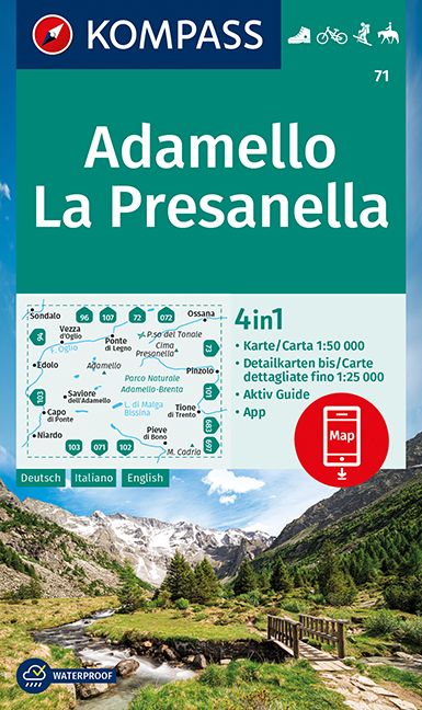
- Adamello - La Presanella Kompass 71
- Adamello - La Presanella area just north of Lake Garda on a GPS compatible hiking and recreational map at 1:50,000 from Kompass, printed on durable, waterproof and tear-resistant synthetic paper. KOMPASS HIKING MAPS OF ITALY: this title is part of an extensive series of walking maps from Kompass covering selected areas of Italy at mainly... Read more
De Zwerver
Netherlands
Netherlands
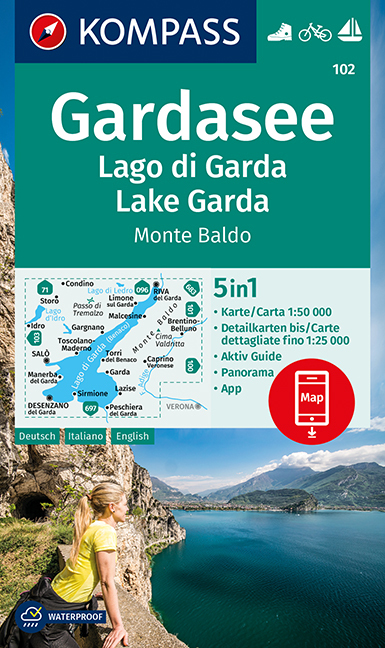
- Wandelkaart 102 Gardasee - Lago di Garda - Lake Garda | Kompass
- Lake Garda and the surrounding mountain on a waterproof and tear-resistant, contoured and GPS compatible map at 1:50,000 from Kompass with hiking and cycling trails, plus on the reverse a panorama map of the area, street plans of central Verona, Riva del Garda and Peschiera, and extensive English language to the area. Contours are at 40m... Read more
- Also available from:
- Stanfords, United Kingdom
Stanfords
United Kingdom
United Kingdom
- Lake Garda - Monte Baldo Kompass 102
- Lake Garda and the surrounding mountain on a waterproof and tear-resistant, contoured and GPS compatible map at 1:50,000 from Kompass with hiking and cycling trails, plus on the reverse a panorama map of the area, street plans of central Verona, Riva del Garda and Peschiera, and extensive English language to the area. Contours are at 40m... Read more
De Zwerver
Netherlands
2023
Netherlands
2023
- Also available from:
- Stanfords, United Kingdom

Stanfords
United Kingdom
United Kingdom
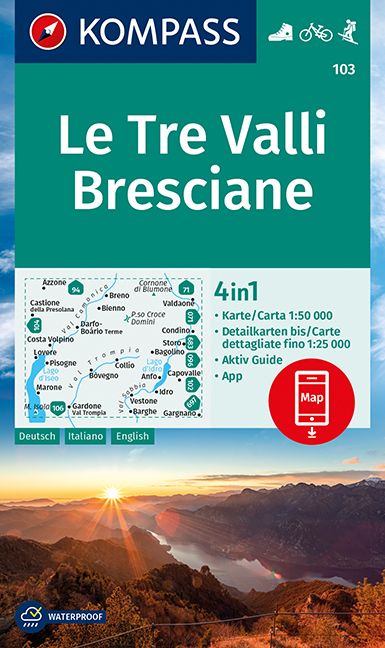
- Le Tre Valli Bresciane Kompass 103
- Map No. 103, Le Tre Valli Bresciane, from Kompass in a series of walking maps of selected areas of Italy at 1:50,000, with hiking routes on a topographic base, various types of accommodation, recreational facilities, places of interest, etc. Kompass are Europe’s largest publishers of walking maps, with extensive coverage of hiking areas in... Read more
De Zwerver
Netherlands
Netherlands
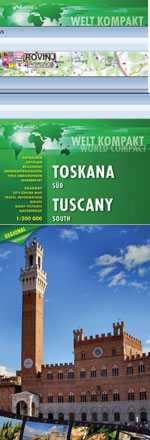
- Wegenkaart - landkaart Toscane Zuid - Toskana sud | Freytag & Berndt
- FuB Toskana Süd 1 : 200 000 World Compact Series ab 10.9 EURO 1:200. 000 freytag & berndt Auto + Freizeitkarten. Neuauflage, Laufzeit bis 2015. Read more