Alps
Beschrijving

The Alps, main mountain range of Europe, extending from France to Slovenia, including Austria, Italy, Germany, Switzerland, Liechtenstein. Highest summit is Mont Blanc (4.810), on the frontier of France, Switzerland and Italy, home of the popular Tour du Mont Blanc.
The Alps are, contrary to what most people think, not the largest mountain range in Europe. The Carpathians actually are more extensive, but not as high.
Often, hikers from outside Europe ask where to go in the Alps, which trail is best. Obviously, this is something every individual has to decide upon herself. The range of hiking opportunities in the Alps is huge. Beautiful country walks are within reach of snow capped mountains where someone else is sweating on a rope to get over a glacier. There are plenty of long distance trails combining different areas, although most people stick to one area. Some like to stay in a hotel and make day walks. Others fancy a hut-tour.
Let's be clear on another point: the facilities in the Alps are among the best in the world. Some would argue they are over the top. Thousands of huts – and very good ones too – lots of ski lifts, well marked trails.
Okay, we from Traildino do have some advice. First, take into account the local culture of an area. Many Alpine regions have a long and rich history which is there to enjoy. The different countries sharing the Alps are all very different, and the regional differences are equally astonishing. This is really a part of the fun here: enjoying nature, enjoying people and hospitality. Second tip: famous is not best. You will probably think of flying to the Matterhorn or Mont Blanc or something equally famous. Needless to say: these area's are very busy and by no means the most impressive or beautiful. Pretty as they are, also the different national parks draw many visitors and hikers are packed in large huts when aiming at the high peaks. If that's what you want: fine. If you prefer a small hut where a local warden makes you the best dinner you've ever had and where you can have a chat with the other three guests while inhaling the sounds and fumes of the end of the day, than virtually every region in the Alps has its charms.
Kaart

Paden in deze regio
- AdlerwegGPX
- Aletsch PanoramawegGPX
- AlpannoniaGPX
- Alpen Weitwanderweg
- Alpenkranz Uri
- Alpenpanorama-WegGPX
- AlpenpässewegGPX
- Alta Via dei GigantiGPX
- Alta Via dei Monti LiguriGPX
- Alta Via Della Valle d'Aosta No 1
- Alta Via Della Valle d'Aosta No 2
- Alta Via Dolomiti 1GPX
- Alta Via Dolomiti 10
- Alta Via Dolomiti 2GPX
- Alta Via Dolomiti 3GPX
- Alta Via Dolomiti 4GPX
- Alta Via Dolomiti 5
- Alta Via Dolomiti 6GPX
- Alta Via Dolomiti 7
- Alta Via Dolomiti 8
- Alta Via Dolomiti 9
- ArnowegGPX
- Ämtlerweg
- Bassa Via del GardaGPX
- Berliner HöhenwegGPX
- Berner Voralpenweg
- Chemin des BissesGPX
- Chemin du VignobleGPX
- Dachstein-Tauern Panoramaweg
- E10GPX
- E2GPX
- E4GPX
- E5GPX
- E6GPX
- Eisenwurzenweg - 8GPX
- EmmenuferwegGPX
- Freiburger VoralpenwegGPX
- Furka HöhenwegGPX
- Gailtaler HöhenwegGPX
- GoethewegGPX
- GR5GPX
- GR50 - Tour des ÉcrinsGPX
- GR510 - Sentier des huit valléesGPX
- GR54 - Tour de l'Oisans et des ÉcrinsGPX
- GR541
- GR549
- GR55 - Tour de la VanoiseGPX
- GR56 - Tour de l'UbayeGPX
- GR58 - Tour du QueyrasGPX
- GR65 - Via PodiensisGPX
- GR653 - Via TolosanaGPX
- GR653D - Voie d’ArlesGPX
- GR9GPX
- GR91 - Traversée du VercorsGPX
- GR93GPX
- GR94 - Tour des Hautes-AlpesGPX
- GR946
- GR95GPX
- GR96 - Traversée des BaugesGPX
- Grande Traversata del Gran Paradiso
- Grande Traversata delle AlpiGPX
- Grenzpfad NapfberglandGPX
- GTPA - Grande Traversée des PréalpesGPX
- Haute Route Chamonix-ZermattGPX
- Heidiland Wandertour
- Heilbronner HöhenwegGPX
- Hintere Gasse
- KalkalpenwegGPX
- Karnischer HöhenwegGPX
- Karwendel Höhenweg
- Kesch Trek
- Kreuzecker Höhenweg
- Lasörling HöhenwegGPX
- Lötschberg PanoramawegGPX
- Lechtaler HöhenwegGPX
- Liechtensteiner PanoramawegGPX
- Mariazeller Wege - 6GPX
- MaximilianswegGPX
- Meraner HöhenwegGPX
- Mittelbünden PanoramawegGPX
- Nationalpark PanoramawegGPX
- Nord-Süd Wanderweg - 5GPX
- Nordalpenweg - 1GPX
- Obwaldner HöhenwegGPX
- Pragelpass-WegGPX
- Prättigauer HöhenwegGPX
- Rätikon Höhenweg
- Rheintaler HöhenwegGPX
- Route du Temps
- Rupertiweg - 10GPX
- Salzburger AlmenwegGPX
- Salzsteigweg - 9GPX
- Sanetsch Muveran WegGPX
- Südalpenweg - 3GPX
- Schanfigger HöhenwegGPX
- Schladminger Tauern Höhenweg
- Schwyzer HöhenwegGPX
- SeealpentourGPX
- Senda SegantiniGPX
- Senda SursilvanaGPX
- Sentiero CristallinaGPX
- Sentiero della PaceGPX
- Sentiero Lago di LuganoGPX
- Sentiero VerzascaGPX
- Slovene Geological Path
- Slovenska Planinska PotGPX
- Slovenska Planinska Pot (extended)
- Stubaier HöhenwegGPX
- Sub-Alpine Trail
- Tauernhöhenweg
- Thurgauer PanoramawegGPX
- ThurwegGPX
- Tiroler Höhenweg
- TMB - Tour du Mont BlancGPX
- Tour des CombinsGPX
- Tour des Dents du MidiGPX
- Tour des Grands Barrages
- Tour du Augstbordhorn
- Tour du BeaufortainGPX
- Tour du MatterhornGPX
- Tour du Saint-BernardGPX
- Tour du Val de BagnesGPX
- Tour du WildhornGPX
- Tour Monte RosaGPX
- Tour Val d'HérensGPX
- Trans-Swiss TrailGPX
- Traumpfad München-VenedigGPX
- Venediger HöhenwegGPX
- Verwall Höhenweg
- Via AlpinaGPX
- Via EngiadinaGPX
- Via FrancigenaGPX
- Via GebennensisGPX
- Via JacobiGPX
- Via RhenanaGPX
- Via SbrinzGPX
- Via SplugaGPX
- Via StockalperGPX
- Via ValtellinaGPX
- Voralpenweg - 4GPX
- Walk of Peace
- Walliser SonnenwegGPX
- WALSA-wegGPX
- Weg der SchweizGPX
- Züri Oberland HöhenwegGPX
- Zürich-Zugerland PanoramawegGPX
- Zentralalpenweg - 2GPX


Links
Feiten
Verslagen
Gidsen en kaarten
Overnachting
Organisaties
Reisorganisaties
GPS
Anders
Boeken

Netherlands
2013
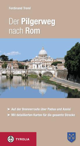
- Wandelgids - Pelgrimsroute Der Pilgerweg nach Rom | Tyrolia
- Auf der Brennerroute über Padua und Assisi. Abt-Albert-von Stade-Weg, Antoniusweg Cammino di Sant´Antonio, Franziskusweg Cammino di Assisi, Romweg Via di Roma. Mit detaillierten Karten für die gesamte Strecke. Read more

Netherlands
2023
Netherlands
2022
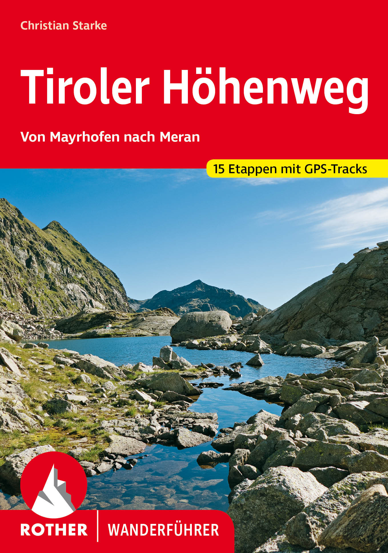
- Wandelgids Tiroler Höhenweg | Rother Bergverlag
- Uitstekende beschrijvingen van deze steeds populairder wordende bergtocht! Goede routebeschrijving, veel praktische informatie, hoogteprofielen en redelike kaartjes. Met alle noodzakelijke info. Zie voor beschrijving de duitse tekst hieronder ... Der Tiroler Höhenweg ist ein hochalpiner Weitwanderweg der Superlative, der in grandioser... Read more

Netherlands
2021
Netherlands
2021
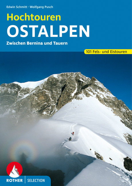
- Wandelgids Hochtouren Ostalpen | Rother Bergverlag
- Das Hochtourenbuch für die Ostalpen – zum Planen, Schmökern und Träumen! Piz Bernina, Piz Palü, Ortler, Adamello, Großglockner, Hochalmspitze ... - große Namen von großen Bergen sind in diesem Buch versammelt, samt der klassischen Anstiege, die jeder hochgebirgserfahrene Bergsteiger irgendwann in seinem Tourenbuch stehen haben will. Die... Read more
Netherlands
2014
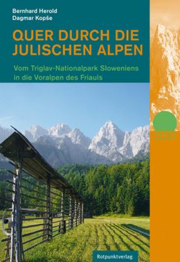
- Wandelgids Quer Durch die Julischen Alpen - Triglav | Rotpunktverlag
- Vom Triglav-Nationalpark Sloweniens in die Voralpen des Friauls. 1. Auflage. Read more

Netherlands
2021
- Wandelgids Adlerweg - Adelaarsweg | Rother Bergverlag
- De Rother wandelgidsen beschrijven zeer goed de wandelingen in specifieke gebieden. In de gids vindt men kaarten, routebeschrijvingen en de nodige praktische informatie om van de wandelingen/trekkings een geslaagde onderneming te maken. 31 Höhenprofile; 32 Wanderkärtchen im Maßstab 1:75.000, zwei Übersichtskarten; GPS-Tracks zum Download »Auf... Read more
Netherlands
2017
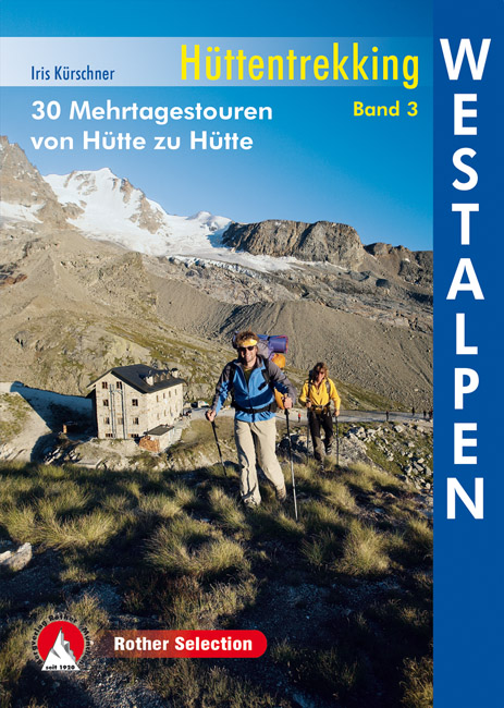
- Wandelgids Huttentochten - Hüttentrekking Westalpen Frankreich - Italien Band 3 | Rother Bergverlag
- Wild und urtümlich, so präsentiert sich das westliche Drittel des Alpenbogens. Viele Ortschaften dort sind stark von Abwanderung betroffen, sodass man nicht selten auf Geisterdörfer trifft, in denen nur noch ein paar Alte leben. Weitwanderrouten wie der GR 5 und die GTA, die Grande Traversata delle Alpi, spannende Höhenwege über aussichtsreiche... Read more
Netherlands
2024
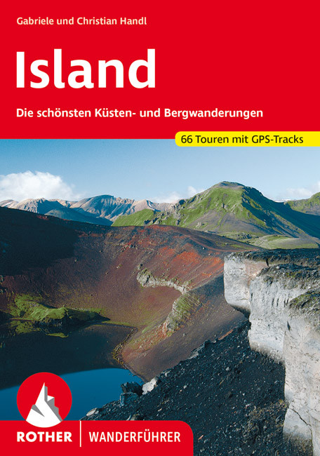
- Wandelgids Island - Ijsland | Rother Bergverlag
- Wandelgids : vele dagtochten worden degelijk beschreven met openbaar vervoer informatie, goede routebeschrijvingen en beperkt kaartmateriaal. Island, die Insel aus Feuer und Eis, übt einen magischen Reiz auf jeden Naturliebhaber aus. Aktive Vulkane und weite Lavawüsten bilden einen Kontrast zu schier unendlichen Gletschern. Gewaltige... Read more
Netherlands
2022
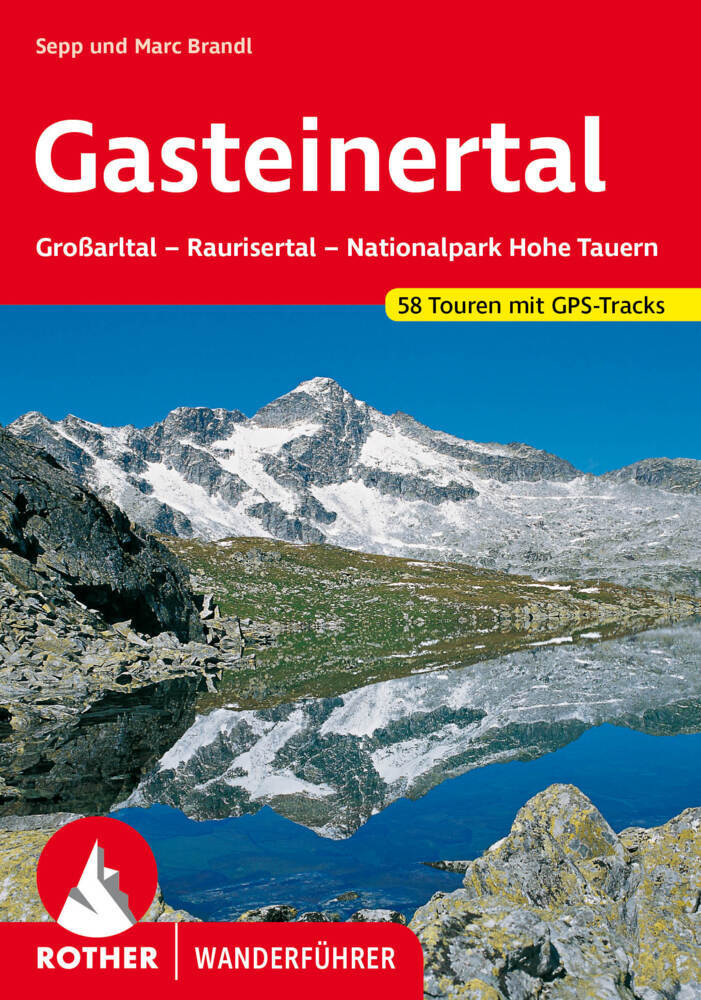
- Wandelgids Gasteinertal | Rother Bergverlag
- Uitstekende wandelgids met een groot aantal dagtochten in dal en hooggebergte. Met praktische informatie en beperkt kaartmateriaal! Wandelingen in verschillende zwaarte weergegeven in rood/blauw/zwart. Die Tauerntäler rund um Bad Gastein - das Großarltal, das Gasteinertal und das Raurisertal - berühren Teile der Radstädter Tauern sowie der... Read more
Netherlands
2022
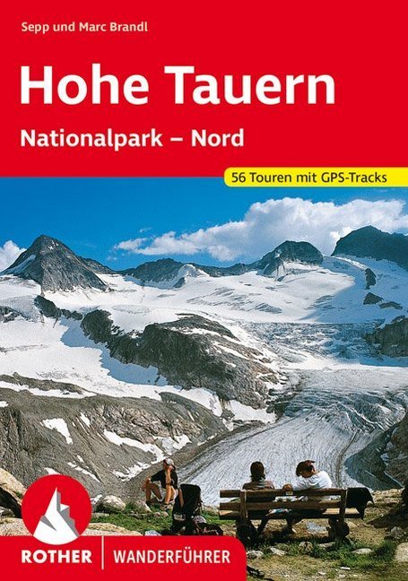
- Wandelgids Hohe Tauern - NP nord | Rother Bergverlag
- Uitstekende wandelgids met een groot aantal dagtochten in dal en hooggebergte. Met praktische informatie en beperkt kaartmateriaal! Wandelingen in verschillende zwaarte weergegeven in rood/blauw/zwart. Die Hohen Tauern sind eine der bekanntesten Hochgebirgsregionen der Ostalpen - mit riesigen Gletschern und zwei der berühmtesten Berge... Read more
Kaarten

Netherlands
2016
- Wandelgids The Cretan Way E4 | Anavasi
- The Cretan Way is a 500km walking route which takes you from east to west across the varied and spectacular landscapes of Crete. It is the ideal way to discover the rural, mountainous and costal regions of this incredible island. This guide is based on a 28-day walk.This guide includes practical information, maps at a scale of 1:25.000 of... Read more
- Also available from:
- Stanfords, United Kingdom

United Kingdom
2016
- The Cretan Way - A 28 Day Walk
- The Cretan Way is a 500km walking route which takes you from east to west across the varied and spectacular landscapes of Crete. It is the ideal way to discover the rural, mountainous and costal regions of this incredible island. This guide is based on a 28-day walk.This guide includes practical information, maps at a scale of 1:25.000 of... Read more

Netherlands
2020
- Wandelatlas - Pelgrimsroute (kaart) 161 Chemins de Compostelle GR65 | Michelin
- Véritable petit atlas détaillant chaque étape avec indications précises concernant les villes de départ et d'arrivée ainsi que pour les localités traversées (auberges, refuges, restaurants, pharmacies, gare, épiceries, Km parcourus, Km restants....).Ce petit atlas suit le chemin du... Read more

Netherlands
2017
- Wandelgids Der Meraner Höhenweg | Tappeiner Verlag
- Prachtig uitgevoerde wandelgids met veel foto's en uitgebreide tekst. Bijgevoegd een gedetailleerde kaart van 1:25.000 met de ingetekende route. De kaart is toereikend om te gebruiken op de route; op de achterkant staat dan de praktische informatie nog een extra vermeld. In diesem Buch über den Meraner Höhenweg werden einerseits die Entstehung... Read more

Netherlands
2023
Netherlands
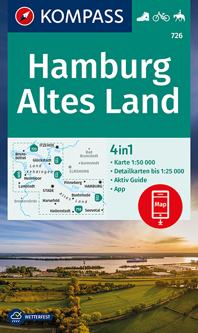
- Wandelkaart 726 Hamburg - Altes Land | Kompass
- Hamburg and the Elbe Estuary area of northern Germany on a detailed, GPS compatible map at 1:50,000 from Kompass with local and long-distance footpaths, cycling routes, accommodation, etc, printed on durable, waterproof and tear-resistant synthetic paper.KOMPASS HIKING & RECREATIONAL MAPS: this title is part of an extensive series covering... Read more
- Also available from:
- Stanfords, United Kingdom

United Kingdom
- Hamburg - Altes Land Kompass 726
- Hamburg and the Elbe Estuary area of northern Germany on a detailed, GPS compatible map at 1:50,000 from Kompass with local and long-distance footpaths, cycling routes, accommodation, etc, printed on durable, waterproof and tear-resistant synthetic paper.KOMPASS HIKING & RECREATIONAL MAPS: this title is part of an extensive series covering... Read more
Netherlands
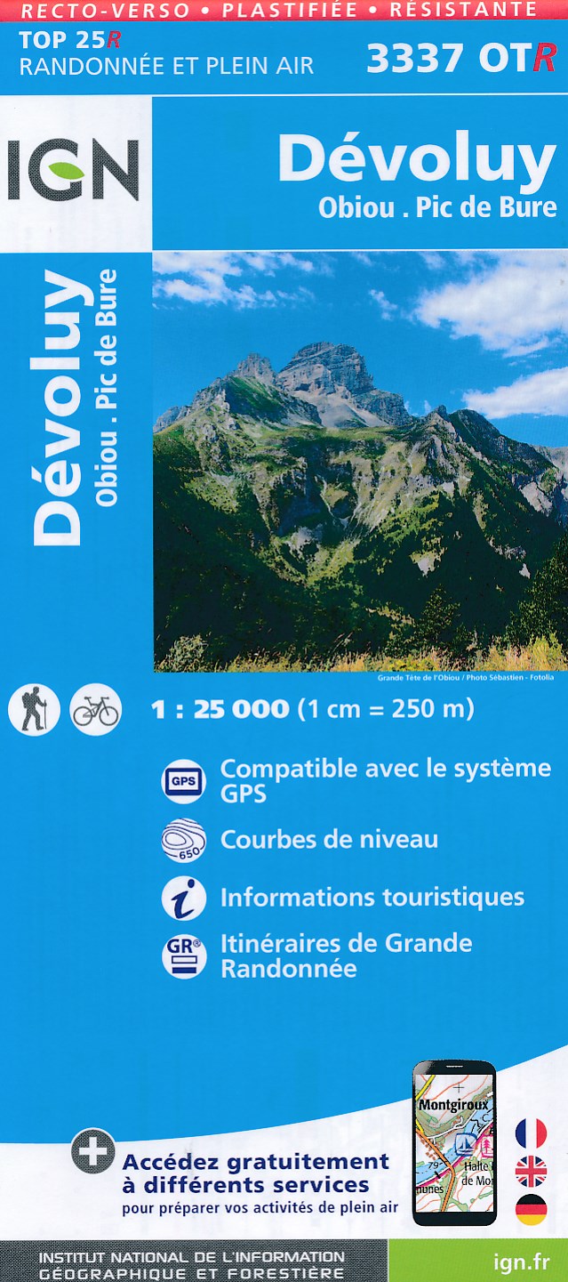
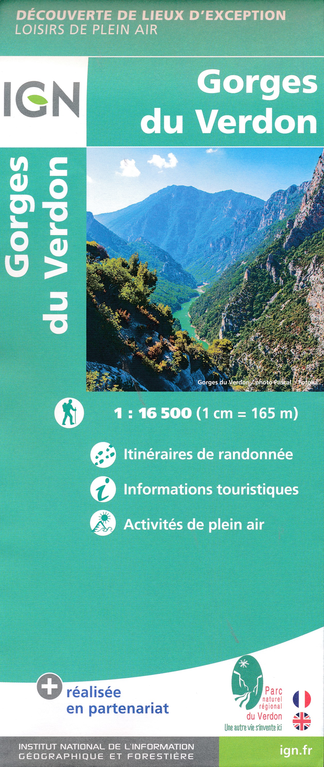
- Wandelkaart - Topografische kaart 3337OTR Dévoluy | IGN - Institut Géographique National
- Topographic survey of France at 1:25,000 in IGN`s excellent TOP25 / Série Bleue series. All the maps are GPS compatible, with a 1km UTM grid plus latitude and longitude lines at 5’ intervals. Contours are at 5m intervals except for mountainous areas where the maps have contours at 10m intervals, vividly enhanced by hill shading and graphics for... Read more
- Also available from:
- Stanfords, United Kingdom

United Kingdom
- Devoluy - Obiou - Pic de Bure IGN WATERPROOF 3337OTR
- Topographic survey of France at 1:25,000 in IGN`s excellent TOP25 / Série Bleue series. All the maps are GPS compatible, with a 1km UTM grid plus latitude and longitude lines at 5’ intervals. Contours are at 5m intervals except for mountainous areas where the maps have contours at 10m intervals, vividly enhanced by hill shading and graphics for... Read more
Netherlands
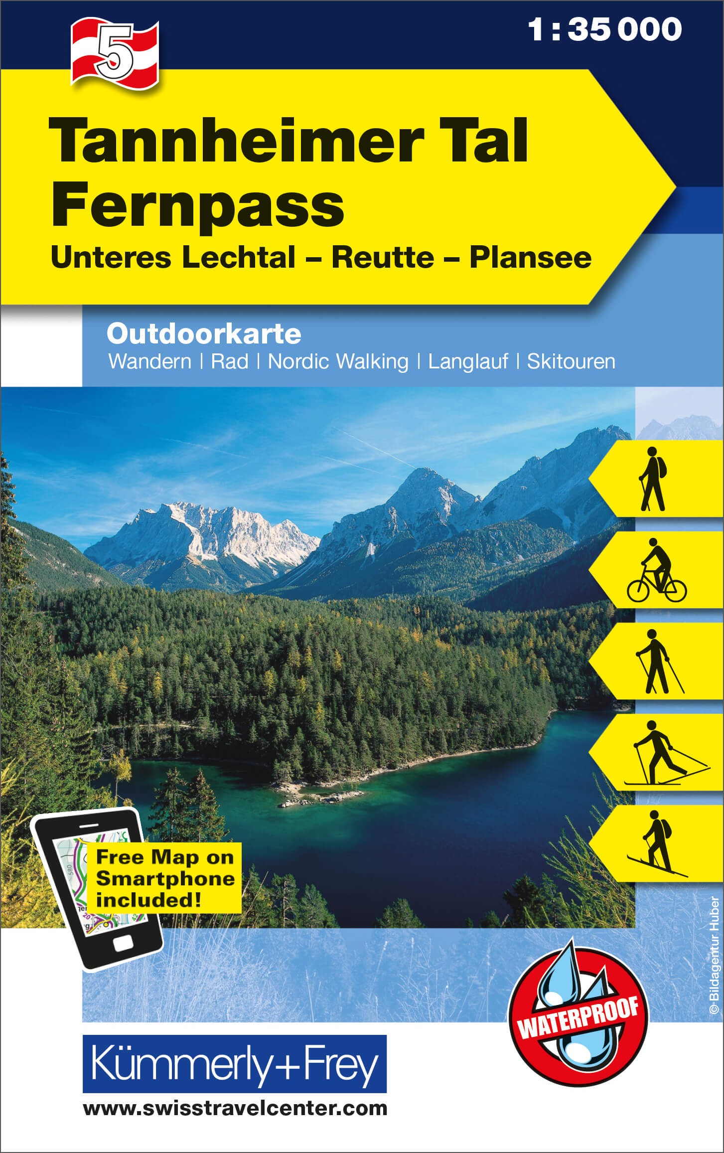
- Wandelkaart 05 Outdoorkarte AT Tannheimer Tal - Fernpass | Kümmerly & Frey
- Tannheimer Tal - Fernpass - Unteres Lechtal - Reutte - Plansee area of the Tyrol at 1:35,000 on a GPS compatible, double-sided map from Kümmerly+Frey printed on sturdy, waterproof and tear-resistant synthetic paper; contoured, with hiking, cycling and ski routes, accommodation facilities, locations for other recreational activities, etc.Maps in... Read more
- Also available from:
- Stanfords, United Kingdom

United Kingdom
- Tannheimer Tal - Fernpass - Unteres Lechtal - Reutte - Plansee K+F Outdoor Map 5
- Tannheimer Tal - Fernpass - Unteres Lechtal - Reutte - Plansee area of the Tyrol at 1:35,000 on a GPS compatible, double-sided map from Kümmerly+Frey printed on sturdy, waterproof and tear-resistant synthetic paper; contoured, with hiking, cycling and ski routes, accommodation facilities, locations for other recreational activities, etc.Maps in... Read more
Netherlands
2017
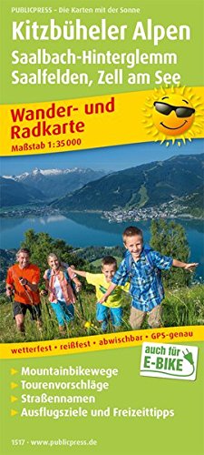
- Wandelkaart 1517 Kitzbüheler Alpen | Publicpress
- Kitzbüheler Alpen, Saalbach-Hinterglemm, Saalfelden - Zell am See 1:35 000 Wander- und Radkarte ab 10 EURO Wander- und Radkarte mit Ausflugszielen & Freizeittipps, wetterfest, reißfest, abwischbar, GPS-genau PUBLICPRESS Wander- und Radkarte. 1. Auflage Read more

Netherlands
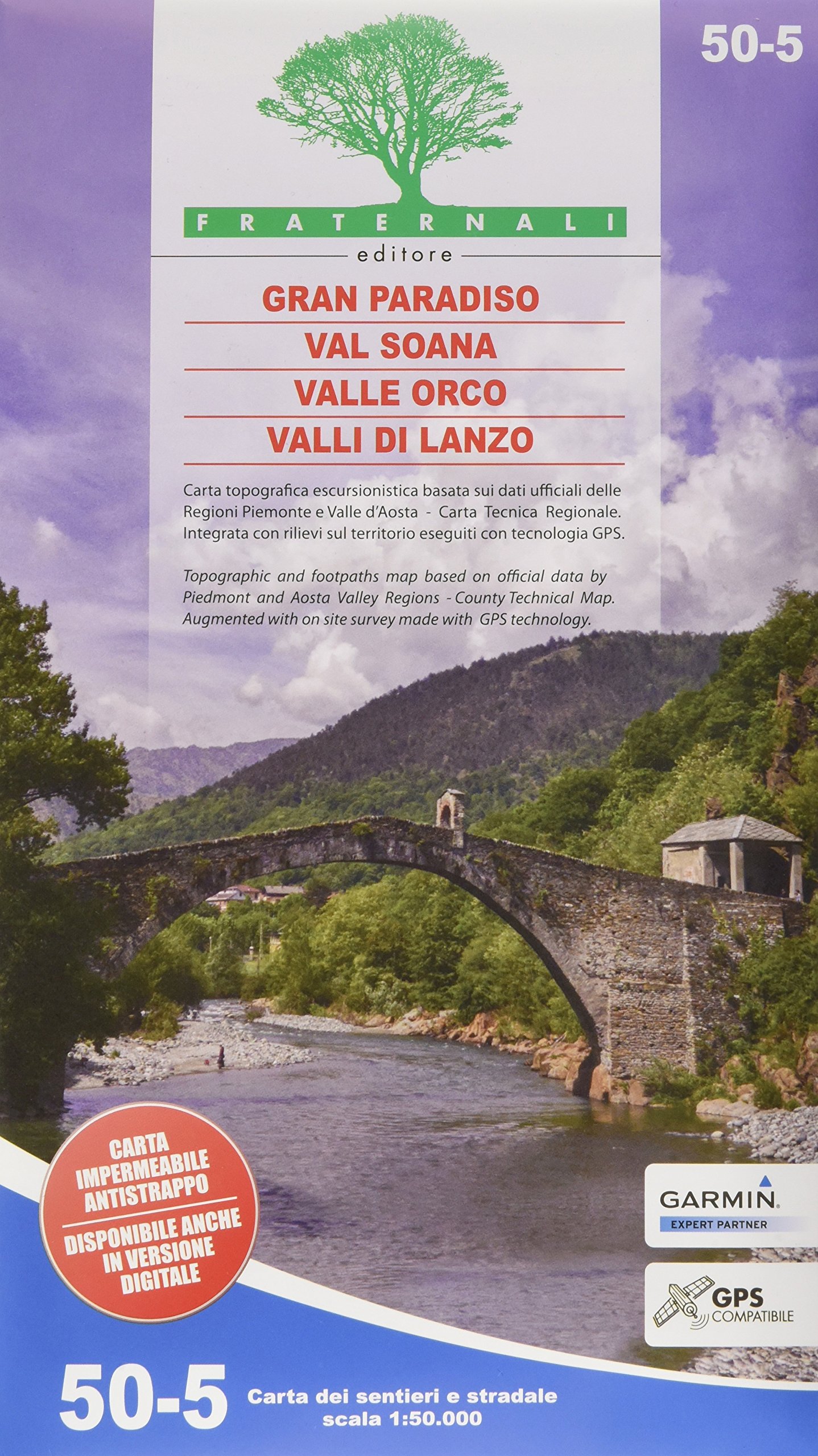
- Wandelkaart 03 Il parco nazionale del Gran Paradiso | IGC - Istituto Geografico Centrale
- Gran Paradiso National Park in a series contoured hiking maps at 1:50,000 with local trails, long-distance footpaths, mountain accommodation, etc, from the Turin based Istituto Geografico Centrale. This new edition published in late 2013 highlights, among other routes, the GTA (Grande Traversata delle Alpi), Via Alpina and Alta Via 2. Coverage... Read more
- Also available from:
- Stanfords, United Kingdom

United Kingdom
- Gran Paradiso National Park IGC 3
- Gran Paradiso National Park in a series contoured hiking maps at 1:50,000 with local trails, long-distance footpaths, mountain accommodation, etc, from the Turin based Istituto Geografico Centrale. The map highlights, among other routes, the GTA (Grande Traversata delle Alpi), Via Alpina and Alta Via 2. Coverage extends from Aosta at the top of... Read more
Netherlands
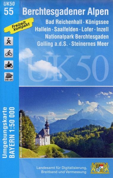
- Wandelkaart 55 UK50 Bayern Berchtesgadener Alpen | LVA Bayern
- Berchtesgaden Alps: Königssee - Bad Reichenhall area, map no. 50-55 including Hallein, Lofer and Saalfelden, in a series of special contoured and GP-compatible recreational maps from the Bavarian state survey organization, with cartography of the German topographic survey at 1:50,000 and extensive additional tourist overprint highlighting... Read more
- Also available from:
- Stanfords, United Kingdom

United Kingdom
- Berchtesgaden Alps - Bad Reichenhall - Konigssee UK50-55
- Berchtesgaden Alps: Königssee - Bad Reichenhall area, map no. 50-55 including Hallein, Lofer and Saalfelden, in a series of special contoured and GP-compatible recreational maps from the Bavarian state survey organization, with cartography of the German topographic survey at 1:50,000 and extensive additional tourist overprint highlighting... Read more