
River delta
Beschrijving
Speciality of the Dutch landscape is its river delta. The river delta is the complex of waterways fed from Rhine and Meuse. Many hiking paths enable us to explore these rivers and the landscapes formed by them.
Paden in deze regio
- Achterhoekpad
- DeltapadGPX
- Dordtse Waardroute
- E2GPX
- E8GPX
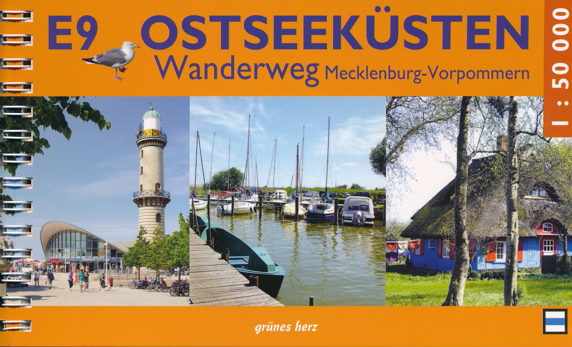
- E9GPX
- Grote RivierenpadGPX
- HanzestedenpadGPX
- IJsselweg
- Jacobsweg Die Haghe
- Jacobsweg Nieumeghen
- LingepadGPX
- Maarten van RossumpadGPX
- Maas- en PeelliniepadGPX
- Maas-NiederrheinpadGPX
- MaasduinenGPX
- Nederlands KustpadGPX
- OeverloperpadGPX
- OosterscheldepadGPX
- Oude IJssel-Rijnpad
- Overijssels HavezatenpadGPX
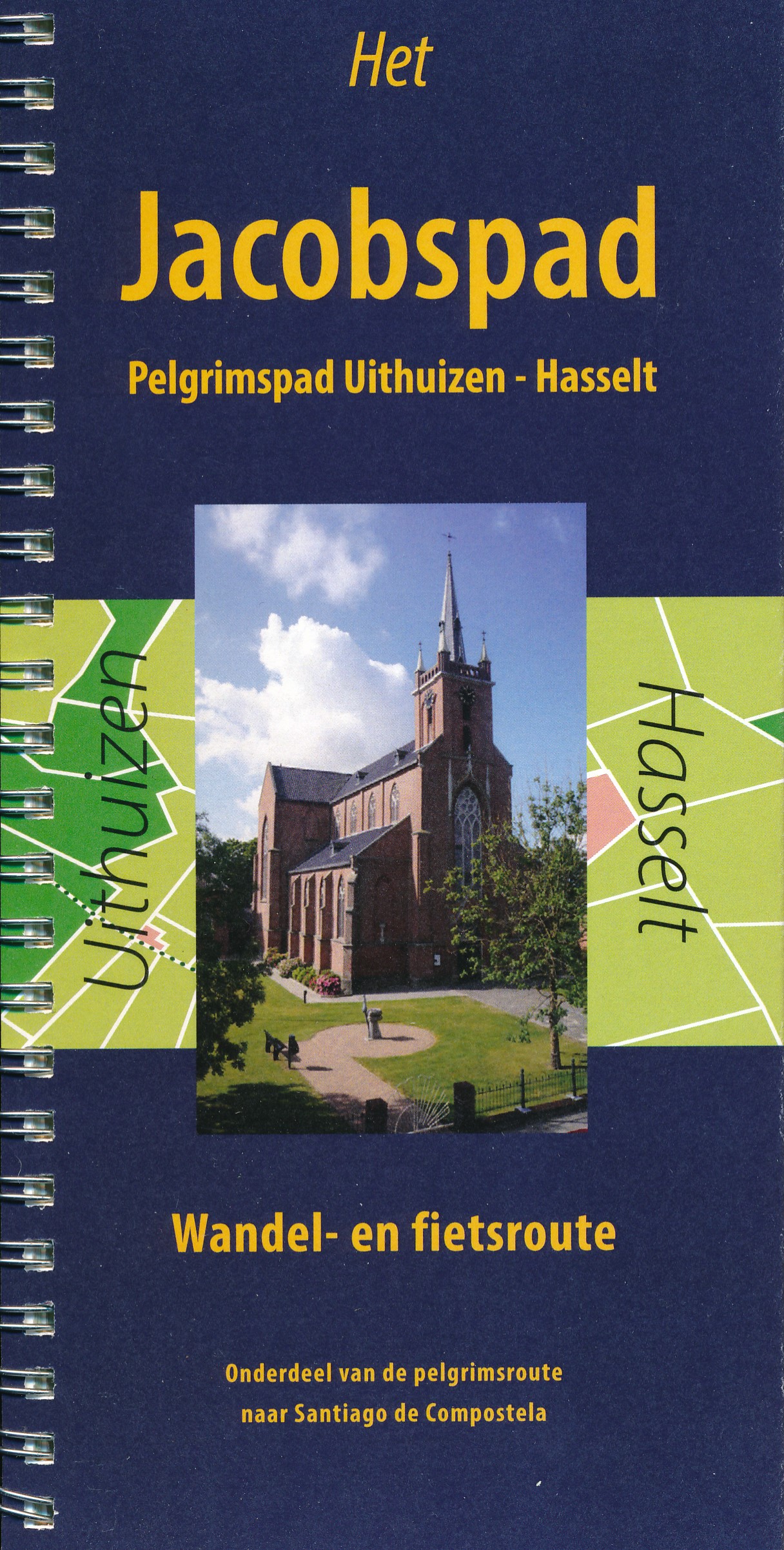
- PelgrimspadGPX
- Rijndeltapad
- Romeinse LimespadGPX
- Streekpad NijmegenGPX
- Tielerwaard Wandelroute
- Walcherenroute
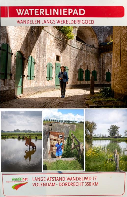
- WaterliniepadGPX
Links
Feiten
Verslagen
Gidsen en kaarten
Overnachting
Organisaties
Reisorganisaties
GPS
Anders
Boeken
.jpg)
De Zwerver
Netherlands
2013
Netherlands
2013
- Wandelgids 5-3 LAW Nederlands Kustpad deel 3, Friesland-Groningen | Wandelnet
- Helder vormgegeven wandelgids met bijzonder duidelijke topografische kaarten. Met openbaar vervoer informatie. In deze gids zijn twee Lange-Afstand-Wandelpaden gecombineerd tot een doorlopende route : het Friese Kustpad en het Wad- en Wierdenpad. Ook zijn tien dagwandelingen opgenomen. Het Nederlands Kustpad deel 3, Friesland - Groningen maakt... Read more

De Zwerver
Netherlands
Netherlands
- Also available from:
- Stanfords, United Kingdom

Stanfords
United Kingdom
United Kingdom
- Birmingham, Wolverhampton & The Black Country OS Landranger Map 139 (paper)
- Birmingham with the surrounding area including the Black Country, Wolverhampton, Walsall, Solihull, Stourbridge, Bromsgrove and a section of the E2 European Long-distance Path on a paper version of map No. 139 from the Ordnance Survey’s Landranger series at 1:50,000, with contoured and GPS compatible topographic mapping plus tourist... Read more

De Zwerver
Netherlands
Netherlands
- Also available from:
- Stanfords, United Kingdom

Stanfords
United Kingdom
United Kingdom
- Kettering, Corby, Market Harborough & Stamford OS Landranger Map 141 (paper)
- The area around Kettering, Corby, Market Harborough and Stamford, including Rockingham Forest and part of the E2 European Long-distance Path, on a paper version of map No. 141 from the Ordnance Survey’s Landranger series at 1:50,000, with contoured and GPS compatible topographic mapping plus tourist information.MOBILE DOWNLOADS: As well as the... Read more

De Zwerver
Netherlands
Netherlands
- Also available from:
- Stanfords, United Kingdom

Stanfords
United Kingdom
United Kingdom
- Reading & Windsor - Henley-on-Thames & Bracknell OS Landranger Map 175 (paper)
- Reading – Windsor area, including a section of the Thames Path / E2 European Long-distance Path, on a paper version of map No. 175 from the Ordnance Survey’s Landranger series at 1:50,000, with contoured and GPS compatible topographic mapping plus tourist information.MOBILE DOWNLOADS: As well as the physical edition of the map, each Landranger... Read more
Bol.com
Netherlands
Netherlands
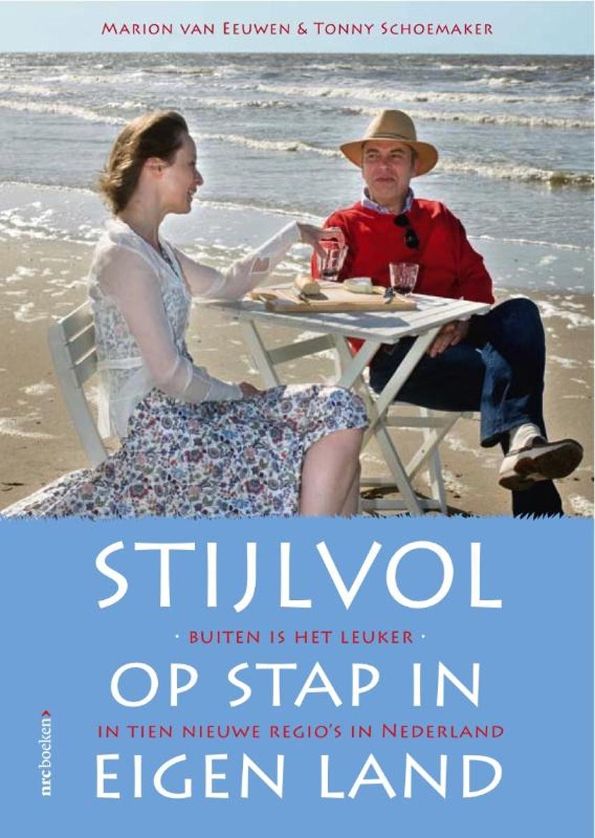
- Stijlvol op stap in eigen land
- De nacht doorbrengen in het kleinste hotel ter wereld of ontbijten onder de moerbeibomen? Dat kan met de tips uit de uitgaansgids Stijlvol op stap in eigen land.NRC-redacteuren Marion van Eeuwen en Tonny Schoemaker stroopten Nederland af op zoek naar culturele, sportieve, interessante en ontspannende activiteiten. De auteurs verbaasden zich... Read more
- Also available from:
- Bol.com, Belgium
Bol.com
Belgium
Belgium
- Stijlvol op stap in eigen land
- De nacht doorbrengen in het kleinste hotel ter wereld of ontbijten onder de moerbeibomen? Dat kan met de tips uit de uitgaansgids Stijlvol op stap in eigen land.NRC-redacteuren Marion van Eeuwen en Tonny Schoemaker stroopten Nederland af op zoek naar culturele, sportieve, interessante en ontspannende activiteiten. De auteurs verbaasden zich... Read more
De Zwerver
Netherlands
2017
Netherlands
2017
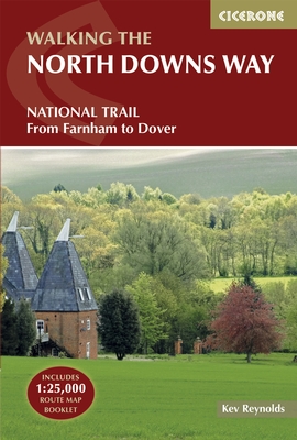
- Wandelgids The North Downs Way | Cicerone
- Guidebook to walking the North Downs Way National Trail, a 130 mile (208km) trail between Farnham and Dover, with an optional visit to Canterbury. Following the ancient Pilgrim's Way for much of the way, through pleasant countryside, this is one of the easier National Trails and the walk is described over 11 stages. With 1:25K OS map booklet. Read more
- Also available from:
- Bol.com, Netherlands
- Bol.com, Belgium
- Stanfords, United Kingdom
- The Book Depository, United Kingdom
Bol.com
Netherlands
2017
Netherlands
2017
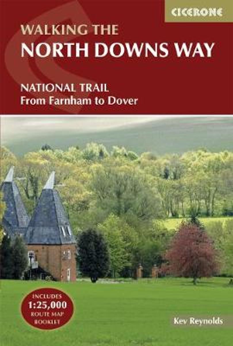
- The North Downs Way
- The North Downs Way National Trail is a 130 mile (208km) between the high downland of Farnham and the historic city of Dover on the Kent coast. The route is described in 11 day stages from west to east with an optional detour via Canterbury. Step-by-step route descriptions are fully illustrated with colour photographs and extracts from OS... Read more
Bol.com
Belgium
2017
Belgium
2017
- The North Downs Way
- The North Downs Way National Trail is a 130 mile (208km) between the high downland of Farnham and the historic city of Dover on the Kent coast. The route is described in 11 day stages from west to east with an optional detour via Canterbury. Step-by-step route descriptions are fully illustrated with colour photographs and extracts from OS... Read more

Stanfords
United Kingdom
2017
United Kingdom
2017
- The North Downs Way
- A guidebook to walking the North Downs Way National Trail, a 130 mile (208km) walk between the high downland of Farnham and the historic city of Dover on the Kent coast, with an optional visit to Canterbury. The route is described in 11 stages, and is fully illustrated with colour photographs and OS map extracts. The North Downs Way is one of... Read more

The Book Depository
United Kingdom
2017
United Kingdom
2017
- The North Downs Way
- National Trail from Farnham to Dover Read more
Bol.com
Netherlands
Netherlands
- Wad- en WierdenpadL LAW 5 Lauwersoog - Nieuweschans
- Wandelen in het zeekleigebied van Noord-Groningen. Deze wandeling biedt een kennismaking met de vele karakteristieke landschapselementen die herinneren aan de omgang met het water, o.a. dijken, restanten van oude zeegeulen, wierden en sluizen. Het Noord-Groningse landschap is voor wie niet uit deze omgeving komt verrassend. Vergezichten in het... Read more
- Also available from:
- Bol.com, Belgium
Bol.com
Belgium
Belgium
- Wad- en WierdenpadL LAW 5 Lauwersoog - Nieuweschans
- Wandelen in het zeekleigebied van Noord-Groningen. Deze wandeling biedt een kennismaking met de vele karakteristieke landschapselementen die herinneren aan de omgang met het water, o.a. dijken, restanten van oude zeegeulen, wierden en sluizen. Het Noord-Groningse landschap is voor wie niet uit deze omgeving komt verrassend. Vergezichten in het... Read more
De Zwerver
Netherlands
2006
Netherlands
2006
- Wandelgids Schwarzwald - Vogesen | Rother Bergverlag
- Uitstekende wandelgids van het Zwarte Woud en een deel van de Vogezen. Nauwkeurig beschreven met praktische info per tocht. De ‘Rother Wanderbücher’ behandelen telkens de 50 mooiste wandelingen, die variëren van eenvoudige kindvriendelijke wandelingen tot routes die aanzienlijk meer ervaring vereisen. Uitvoerige routebeschrijvingen, een... Read more
- Also available from:
- Bol.com, Netherlands
- Bol.com, Belgium
Bol.com
Netherlands
2006
Netherlands
2006
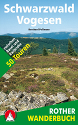
- Schwarzwald - Vogesen
- Die schönsten und spannendsten Wanderberge im Schwarzwald und in den Vogesen präsentiert dieser Führer in einer Auswahl von 50 Wandervorschlägen für jede Kondition. Vom alpinen Steig am Feldberg, der höchsten Erhebung der deutschen Mittelgebirge, spannt sich der Bogen bis zum Grand Ballon, dem höchsten Berg der Vogesen, vom Belchen als dem... Read more
Bol.com
Belgium
2006
Belgium
2006
- Schwarzwald - Vogesen
- Die schönsten und spannendsten Wanderberge im Schwarzwald und in den Vogesen präsentiert dieser Führer in einer Auswahl von 50 Wandervorschlägen für jede Kondition. Vom alpinen Steig am Feldberg, der höchsten Erhebung der deutschen Mittelgebirge, spannt sich der Bogen bis zum Grand Ballon, dem höchsten Berg der Vogesen, vom Belchen als dem... Read more
Bol.com
Netherlands
Netherlands
- More Baskets And How To Make Them
- More Baskets AND How to Make Them MARY WHITE a Author of How to Make Baskets Illustrated from photographs, and drawings by the author GARDEN CITY NEW YORK DOUBLEDAY, PAGE COMPANY 1916 MORE BASKETS AND HOW TO MAKE THEM z - -2 1 r i c 5 Z c 2 L - L v 2 y T .C I n C C 2 2s - L M CLC g .E 2 Copyright. 1903, by Doubleday, Page Cornpant Publirhtd,... Read more
- Also available from:
- Bol.com, Belgium
Bol.com
Belgium
Belgium
- More Baskets And How To Make Them
- More Baskets AND How to Make Them MARY WHITE a Author of How to Make Baskets Illustrated from photographs, and drawings by the author GARDEN CITY NEW YORK DOUBLEDAY, PAGE COMPANY 1916 MORE BASKETS AND HOW TO MAKE THEM z - -2 1 r i c 5 Z c 2 L - L v 2 y T .C I n C C 2 2s - L M CLC g .E 2 Copyright. 1903, by Doubleday, Page Cornpant Publirhtd,... Read more

Bol.com
Netherlands
Netherlands
- Guangzhou - Heart of the South
- Welcome to Guangzhou and Canton and Panyu. The city has changed its name at least three times over the centuries, and the people have changed with it. This tour guide for Guangzhou seeks to share with travelers the beauty of the southern capital. A place where each district in the older sections of town has a museum tucked around a corner,... Read more
- Also available from:
- Bol.com, Belgium
Bol.com
Belgium
Belgium
- Guangzhou - Heart of the South
- Welcome to Guangzhou and Canton and Panyu. The city has changed its name at least three times over the centuries, and the people have changed with it. This tour guide for Guangzhou seeks to share with travelers the beauty of the southern capital. A place where each district in the older sections of town has a museum tucked around a corner,... Read more

De Zwerver
Netherlands
Netherlands
- Also available from:
- Bol.com, Netherlands
- Bol.com, Belgium
- Stanfords, United Kingdom
- The Book Depository, United Kingdom

Bol.com
Netherlands
Netherlands
- Purbeck & South Dorset, Poole, Dorchester, Weymouth & Swanage
- OS Explorer is the Ordnance Survey's most detailed map and is recommended for anyone enjoying outdoor activities like walking, horse riding and off-road cycling. The OS Explorer range of OL maps now includes a digital version of the paper map, accessed through the OS smartphone app, OS Maps. Providing complete GB coverage the series details... Read more
Bol.com
Belgium
Belgium
- Purbeck & South Dorset, Poole, Dorchester, Weymouth & Swanage
- OS Explorer is the Ordnance Survey's most detailed map and is recommended for anyone enjoying outdoor activities like walking, horse riding and off-road cycling. The OS Explorer range of OL maps now includes a digital version of the paper map, accessed through the OS smartphone app, OS Maps. Providing complete GB coverage the series details... Read more

Stanfords
United Kingdom
United Kingdom
- Purbeck & South Dorset - Poole, Dorchester - Weymouth & Swanage OS Explorer Map OL15 (paper)
- Purbeck and the southern part of Dorset on a detailed topographic and GPS compatible map OL15, paper version, from the Ordnance Survey’s 1:25,000 Explorer series. Coverage extends from Poole and Swanage in the east to Bridport in the west, and includes Dorchester, Tolpuddle, Bere Regis, Wareham, Weymouth, Chesil Beach, Portland Bill, the final... Read more

The Book Depository
United Kingdom
United Kingdom

Stanfords
United Kingdom
United Kingdom
- Bury St Edmunds, Sudbury & Stowmarket OS Landranger Active Map 155 (waterproof)
- Suffolk around Bury St Edmunds, Sudbury and Stowmarket, including part of the E2 European Long-distance path, on a waterproof and tear-resistant OS Active version of map No. 155 from the Ordnance Survey’s Landranger series at 1:50,000, with contoured and GPS compatible topographic mapping plus tourist information.MOBILE DOWNLOADS: As well as... Read more
Kaarten

De Zwerver
Netherlands
Netherlands
- Wandelkaart 1 Stara Planina gebergte | Domino
- Stara Planina Central: Zlatitsa to Kalofer map at 1:50,000 from Bulgarian publishers Domino, contoured and GPS compatible, with hiking trails, accommodation options including a list of local mountain refuges, etc. The map is double-sided and covers the mountains from just west of Ribaritsa and Zlatitsa eastwards beyond Kalofer to the peak of... Read more
- Also available from:
- Stanfords, United Kingdom

Stanfords
United Kingdom
United Kingdom
- Stara Planina Central: Zlatitsa to Kalofer Domino Map
- Stara Planina Central: Zlatitsa to Kalofer map at 1:50,000 from Bulgarian publishers Domino, contoured and GPS compatible, with hiking trails, accommodation options including a list of local mountain refuges, etc. The map is double-sided and covers the mountains from just west of Ribaritsa and Zlatitsa eastwards beyond Kalofer to the peak of... Read more

De Zwerver
Netherlands
Netherlands
- Wandelkaart Sredna Gora - Bulgarije | Domino
- Pirin Mountains at 1:50,000 on a large, double-sided, contoured map with GPS waypoints for shelters and chalets, peaks, etc. and highlighting hiking routes. Topography is shown by contours at 40m intervals with additional relief shading and graphics and colouring for sandstone stacks, single rocks over 5m high, marshlands and different types of... Read more

De Zwerver
Netherlands
Netherlands
- Wandelkaart 2 Stara Planina gebergte | Domino
- Stara Planina Central: Uzana to Vratnik map at 1:50,000 from Bulgarian publishers Domino, contoured and GPS compatible, with hiking trails, accommodation options including a list of local mountain refuges, etc. The map is double-sided and covers the mountains from just west of the Uzana massif, the geographical centre of Bulgaria, eastwards to... Read more
- Also available from:
- Stanfords, United Kingdom

Stanfords
United Kingdom
United Kingdom
- Stara Planina Central: Uzana to Vratnik Domino Map
- Stara Planina Central: Uzana to Vratnik map at 1:50,000 from Bulgarian publishers Domino, contoured and GPS compatible, with hiking trails, accommodation options including a list of local mountain refuges, etc. The map is double-sided and covers the mountains from just west of the Uzana massif, the geographical centre of Bulgaria, eastwards to... Read more

De Zwerver
Netherlands
Netherlands
- Wandelkaart - Fietskaart Insel Rügen | Verlag Dr. Barthel
- Frei von Werbeanzeigen. reißfest, wetterfest durch Beschichtung mit hochwertiger nicht spiegelnder Folie, mit ausgewählten Straßennamen zur besseren Orientierung, farbig hervorgehobenen Ausflugszielen, Sehenswürdigkeiten der Umgebung in Text und Bild und alle regionalen und überregionalen Wander- und Radwanderwege sowie ausgewiesene... Read more

De Zwerver
Netherlands
Netherlands
- Wandelkaart 3 Stara Planina gebergte | Domino
- Stara Planina Western: Belogradchik to Berkovita map at 1:50,000 from Bulgarian publishers Domino, contoured and GPS compatible, with hiking trails, accommodation options including a list of local mountain refuges, etc. The map is double-sided and covers the mountains from the peak of Byala Voda near Belogradchik eastwards to just beyond... Read more
- Also available from:
- Stanfords, United Kingdom

Stanfords
United Kingdom
United Kingdom
- Stara Planina Western: Belogradchik to Berkovita Domino Map
- Stara Planina Western: Belogradchik to Berkovita map at 1:50,000 from Bulgarian publishers Domino, contoured and GPS compatible, with hiking trails, accommodation options including a list of local mountain refuges, etc. The map is double-sided and covers the mountains from the peak of Byala Voda near Belogradchik eastwards to just beyond... Read more

De Zwerver
Netherlands
Netherlands
- Wandelkaart 4 Stara Planina gebergte | Domino
- Stara Planina Western: Berkovita to Zlatitsa map at 1:50,000 from Bulgarian publishers Domino, contoured and GPS compatible, with hiking trails, accommodation options including a list of local mountain refuges, etc. The map is double-sided and covers the mountains from Varshets (directly north of Sofia) to just beyond Etrepole.Maps in the... Read more
- Also available from:
- Stanfords, United Kingdom

Stanfords
United Kingdom
United Kingdom
- Stara Planina Western: Berkovita to Zlatitsa Domino Map
- Stara Planina Western: Berkovita to Zlatitsa map at 1:50,000 from Bulgarian publishers Domino, contoured and GPS compatible, with hiking trails, accommodation options including a list of local mountain refuges, etc. The map is double-sided and covers the mountains from Varshets (directly north of Sofia) to just beyond Etrepole.Maps in the... Read more

De Zwerver
Netherlands
Netherlands
- Wandelkaart 5 Rila gebergte | Domino
- Rila Mountains at 1:50,000 on a large, double-sided, contoured map with GPS waypoints for shelters and chalets, peaks, etc. and highlighting hiking routes. Topography is shown by contours at 50m intervals with additional relief shading and graphics and colouring for scree, single rocks over 5m high, marshlands and pine scrub and forests. An... Read more
- Also available from:
- Stanfords, United Kingdom

Stanfords
United Kingdom
United Kingdom
- Rila Mountains Domino
- Rila Mountains at 1:50,000 on a large, double-sided, contoured map with GPS waypoints for shelters and chalets, peaks, etc. and highlighting hiking routes. Topography is shown by contours at 50m intervals with additional relief shading and graphics and colouring for scree, single rocks over 5m high, marshlands and pine scrub and forests. An... Read more

De Zwerver
Netherlands
Netherlands
- Wandelkaart 6 Pirin gebergte | Domino
- Pirin Mountains at 1:50,000 on a large, double-sided, contoured map with GPS waypoints for shelters and chalets, peaks, etc. and highlighting hiking routes. Topography is shown by contours at 40m intervals with additional relief shading and graphics and colouring for sandstone stacks, single rocks over 5m high, marshlands and different types of... Read more
- Also available from:
- Stanfords, United Kingdom

Stanfords
United Kingdom
United Kingdom
- Pirin Mountains Domino
- Pirin Mountains at 1:50,000 on a large, double-sided, contoured map with GPS waypoints for shelters and chalets, peaks, etc. and highlighting hiking routes. Topography is shown by contours at 40m intervals with additional relief shading and graphics and colouring for sandstone stacks, single rocks over 5m high, marshlands and different types of... Read more

De Zwerver
Netherlands
Netherlands
- Wandelkaart - Wegenkaart - landkaart 7 Westelijke Rhodopen - Western Rhodopes | Domino
- Western Rhodope Mountains at 1:100,000 on a contoured GPS compatible map from Domino extending from just west of the Pirin National Park to Asenovgrad in the north-east. The map is double-sided with a good overlap between the sides. Topography is shown by contours at 50m intervals with relief shading and spot heights, plus colouring for... Read more
- Also available from:
- Stanfords, United Kingdom

Stanfords
United Kingdom
United Kingdom
- Western Rhodope Mountains Domino Map
- Western Rhodope Mountains at 1:100,000 on a contoured GPS compatible map from Domino extending from just west of the Pirin National Park to Asenovgrad in the north-east. The map is double-sided with a good overlap between the sides. Topography is shown by contours at 50m intervals with relief shading and spot heights, plus colouring for... Read more

De Zwerver
Netherlands
Netherlands
- Wandelkaart Strandzha - Bulgarije | Domino
- Strandzha Mountains in the south-eastern corner of Bulgaria between Burgas to the Turkish border on a contoured and GPS compatible map from Domino showing local hiking trails and highlighting various interesting sites, with three more detailed enlargements at 1:25,000. Most place names are in both Latin and Cyrillic alphabet; map legend... Read more
- Also available from:
- Stanfords, United Kingdom

Stanfords
United Kingdom
United Kingdom
- Strandzha Mountains: Burgas to the Turkish Border Domino Map
- Strandzha Mountains in the south-eastern corner of Bulgaria between Burgas to the Turkish border on a contoured and GPS compatible map from Domino showing local hiking trails and highlighting various interesting sites, with three more detailed enlargements at 1:25,000. Most place names are in both Latin and Cyrillic alphabet; map legend... Read more
Bol.com
Netherlands
Netherlands
- Trage Paden RN - Topografische wandelkaart Rijk van Nijmegen
- Grote, samengestelde en gedetailleerde topografische wandelkaart, op schaal 1:25.000. Scheur- en watervast. Vele wandelroutes ingetekend, onder andere lange afstandsroutes, zoals het Pieterpad, het Grote Rivierenpad, het Airbornepad Market Garden, Streekpad Nijmegen, Maas en Peelliniepad en het Maas- Niederrheinpad. Daarnaast veel... Read more
- Also available from:
- Bol.com, Belgium
Bol.com
Belgium
Belgium
- Trage Paden RN - Topografische wandelkaart Rijk van Nijmegen
- Grote, samengestelde en gedetailleerde topografische wandelkaart, op schaal 1:25.000. Scheur- en watervast. Vele wandelroutes ingetekend, onder andere lange afstandsroutes, zoals het Pieterpad, het Grote Rivierenpad, het Airbornepad Market Garden, Streekpad Nijmegen, Maas en Peelliniepad en het Maas- Niederrheinpad. Daarnaast veel... Read more

De Zwerver
Netherlands
Netherlands
- Wandelkaart WKE2 La Palma | Freytag & Berndt
- Uitstekende wandelkaart van La Palma, tweezijdig, met ingetekende routes, hoogtelijnen en andere belangrijke informatie. Ook met fietsroutes, bovendien GPS geschikt! Read more
- Also available from:
- Bol.com, Netherlands
- Bol.com, Belgium
- The Book Depository, United Kingdom

Bol.com
Netherlands
Netherlands
- FB WKE2 La Palma
- Dubbelzijdige wandel- en vrijetijdskaart • toeristische tips • stadsplattegronden • fietspaden en mountainbikeroutes • GPS-punten • ski- en langlaufroutes Read more
Bol.com
Belgium
Belgium
- FB WKE2 La Palma
- Dubbelzijdige wandel- en vrijetijdskaart • toeristische tips • stadsplattegronden • fietspaden en mountainbikeroutes • GPS-punten • ski- en langlaufroutes Read more

The Book Depository
United Kingdom
United Kingdom
- La Palma Hiking + Leisure Map 1:30 000
- Uitstekende wandelkaart van La Palma, tweezijdig, met ingetekende routes, hoogtelijnen en andere belangrijke informatie. Ook met fietsroutes, bovendien GPS geschikt! Read more

Stanfords
United Kingdom
United Kingdom
- Transrhodopi - Long distance hiking and biking trail From Trigrad to Ivaylovgrad
- Western Rhodope Mountains at 1:100,000 on a contoured GPS compatible map from Domino extending from just west of the Pirin National Park to Asenovgrad in the north-east. The map is double-sided with a good overlap between the sides. Topography is shown by contours at 50m intervals with relief shading and spot heights, plus colouring for... Read more

Stanfords
United Kingdom
United Kingdom
- Luxembourg North
- One of two topographic survey maps of Luxembourg at 1:50,000, with contours at 10-metres intervals and additional relief shading. An overprint highlights long-distance footpaths, including the GR5 (E-2), cycle routes, and various places of interest, including campsites. The map covers an area of approximately 53 x 43 km / 33 x 27 miles. Map... Read more