
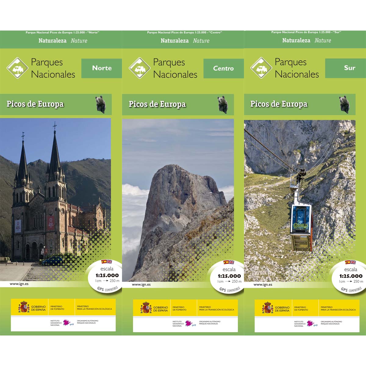
Picos de Europa
Beschrijving
Paden in deze regio
Links
Feiten
Verslagen
Gidsen en kaarten
Overnachting
Organisaties
Reisorganisaties
GPS
Anders
Boeken
Bol.com
Netherlands
Netherlands
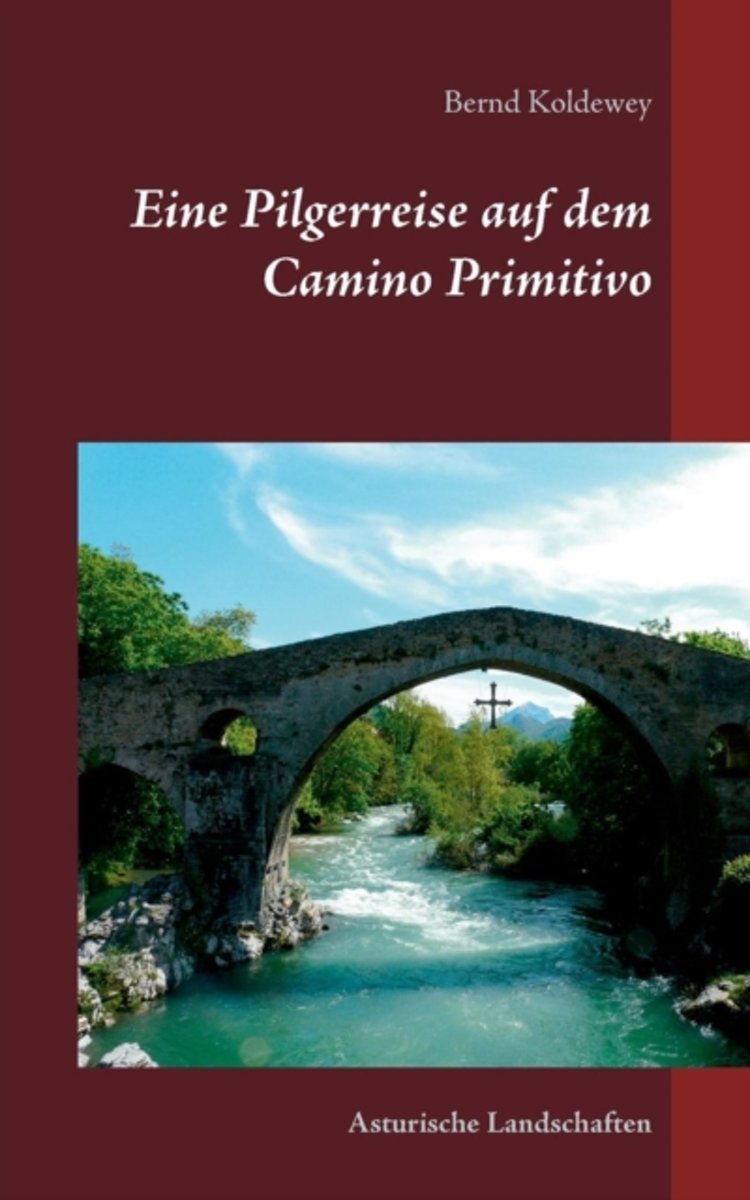
- Eine Pilgerreise Auf Dem Camino Primitivo
- Endlich war es wieder so weit, eine neue Pilgerreise in Spanien stand an. Anfang Mai 2013 machten wir uns auf den langen Weg nach Asturien. Von hier wollten wir den sogenannten ursprunglichen Jakobsweg den Camino Primitivo" erkunden. Er beginnt in Oviedo, der Hauptstadt des Furstentums Asturien und verlauft auf seinem 322 km langen Weg bis... Read more
- Also available from:
- Bol.com, Belgium
Bol.com
Belgium
Belgium
- Eine Pilgerreise Auf Dem Camino Primitivo
- Endlich war es wieder so weit, eine neue Pilgerreise in Spanien stand an. Anfang Mai 2013 machten wir uns auf den langen Weg nach Asturien. Von hier wollten wir den sogenannten ursprunglichen Jakobsweg den Camino Primitivo" erkunden. Er beginnt in Oviedo, der Hauptstadt des Furstentums Asturien und verlauft auf seinem 322 km langen Weg bis... Read more

Bol.com
Netherlands
Netherlands
- Enchanting Spain
- From Santiago de Compostela in the north-west to Granada in the south-east via Madrid in the centre, Enchanting Spain reveals the fascinating breadth and depth of this exuberant country. The Moorish Alhambra, Toledo's Jewish quarter, the Roman amphitheatre at Merida and Barcelona's Sagrada Familia, the famously unfinished cathedral, each show a... Read more
- Also available from:
- Bol.com, Belgium
Bol.com
Belgium
Belgium
- Enchanting Spain
- From Santiago de Compostela in the north-west to Granada in the south-east via Madrid in the centre, Enchanting Spain reveals the fascinating breadth and depth of this exuberant country. The Moorish Alhambra, Toledo's Jewish quarter, the Roman amphitheatre at Merida and Barcelona's Sagrada Familia, the famously unfinished cathedral, each show a... Read more
Bol.com
Netherlands
2015
Netherlands
2015
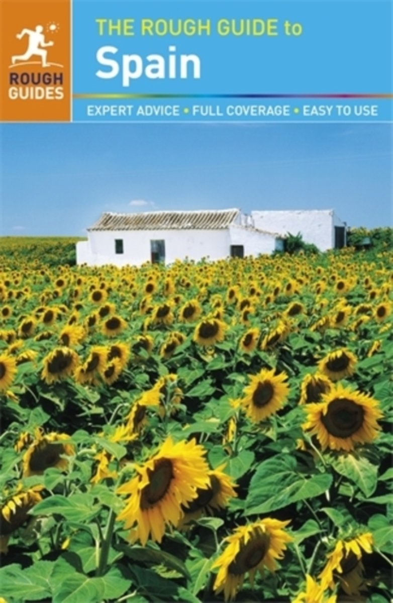
- Rough Guide - Spain
- The Rough Guide to Spain is the definitive guide to this captivating country, with in-depth coverage of everything from its classic cities to hidden island beaches.The introduction will help you choose where to go and what to see, inspired by dozens of stunning photos. The Things Not To Miss section runs through all the must-sees, while the... Read more
- Also available from:
- Bol.com, Belgium
Bol.com
Belgium
2015
Belgium
2015
- Rough Guide - Spain
- The Rough Guide to Spain is the definitive guide to this captivating country, with in-depth coverage of everything from its classic cities to hidden island beaches.The introduction will help you choose where to go and what to see, inspired by dozens of stunning photos. The Things Not To Miss section runs through all the must-sees, while the... Read more
Bol.com
Netherlands
Netherlands
- Insight Guides Northern Spain
- Insight Guides: all you need to inspire every step of your journey. An in-depth book, now with free app and eBook.Home to spectacular mountains, lush green valleys and a scenic coastline, Northern Spain is fast becoming a haven of green tourism. This new edition covers all the highlights, from the cultural Bilbao and elegant San Sebastian to... Read more
- Also available from:
- Bol.com, Belgium
Bol.com
Belgium
Belgium
- Insight Guides Northern Spain
- Insight Guides: all you need to inspire every step of your journey. An in-depth book, now with free app and eBook.Home to spectacular mountains, lush green valleys and a scenic coastline, Northern Spain is fast becoming a haven of green tourism. This new edition covers all the highlights, from the cultural Bilbao and elegant San Sebastian to... Read more
Bol.com
Netherlands
Netherlands
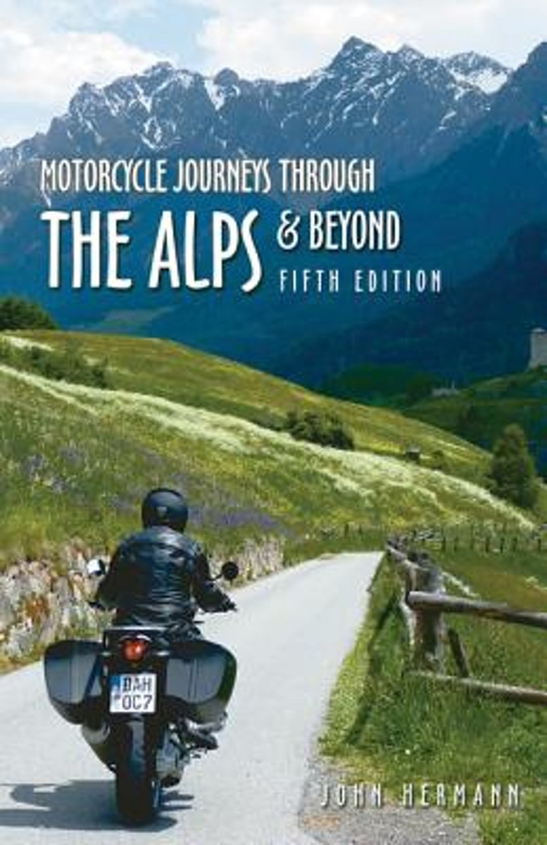
- Motorcycle Journeys Through the Alps & Beyond
- This fifth edition of John Hermann's classic alpine motorcycle touring guide is the complete, best loved resource for any traveler to the high and twisty roads of Europe. Covering more area than any previous edition, Hermann's fun-to-read text has been throughly updated and expanded, this time with more new roads in Switzerland and France. The... Read more
- Also available from:
- Bol.com, Belgium
Bol.com
Belgium
Belgium
- Motorcycle Journeys Through the Alps & Beyond
- This fifth edition of John Hermann's classic alpine motorcycle touring guide is the complete, best loved resource for any traveler to the high and twisty roads of Europe. Covering more area than any previous edition, Hermann's fun-to-read text has been throughly updated and expanded, this time with more new roads in Switzerland and France. The... Read more

Stanfords
United Kingdom
2015
United Kingdom
2015
- Picos de Europa: Car Tours and Walks
- Picos de Europa is the Sunflower Landscapes guide to exploring the best walking and vehicular touring possibilities in the region. The guide covers a range of routes including walks in the southern valleys of Liebana and the northern reaches of Cabrales and Covadonga. A fold-out touring map at the back of the book gives an overview of the... Read more

Stanfords
United Kingdom
United Kingdom
- DK Eyewitness Northern Spain
- Explore wild mountain terrain, vibrant cities and romantic coastline.Whether you want to trek the dramatic peaks of the Picos de Europa, appreciate contemporary art at Museo Guggenheim or hop from bar to bar in the side streets of San Sebastian, your DK Eyewitness travel guide makes sure you experience all that Northern Spain has to offer.Our... Read more


Stanfords
United Kingdom
United Kingdom
- Spanish Trails - A Guide to Walking the Spanish Mountains - The Mountains of Madrid
- An English-language guide to walking in the mountains to the north of Madrid, mainly but not exclusively within the National Park of the Sierra de Guadarrama. In this book, the third one in the Spanish Trails series, Phil Lawler and Tim Price present descriptions and sketch maps of 32 walks in the mountain ranges to the north of Madrid.It will... Read more
- Also available from:
- The Book Depository, United Kingdom

The Book Depository
United Kingdom
United Kingdom


The Book Depository
United Kingdom
United Kingdom
Kaarten
De Zwerver
Netherlands
Netherlands
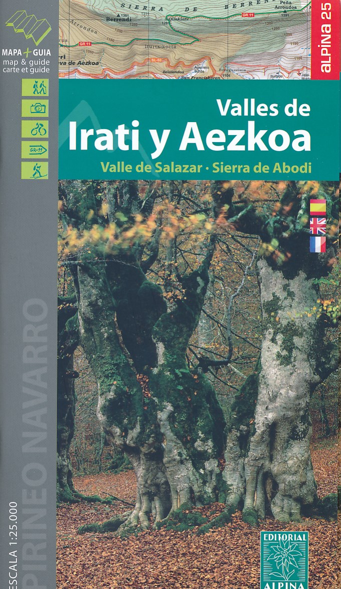
- Wandelkaart 01 Mapa de los Valles de Irati - Aezkoa (Roncesvalles) | Editorial Alpina
- Valles de Irati & Aezkoa in an extensive and very popular series of walking maps from Editorial Alpina covering the Pyrenees, Catalonia and other selected hiking areas in Spain, including Picos de Europa, Sierra Nevada and parts of Andalucía, Majorca, etc. Scales vary from 1:50,000 to 1:10,000, with the majority of the titles at 1:25,000. The... Read more
- Also available from:
- Stanfords, United Kingdom

Stanfords
United Kingdom
United Kingdom
- Valles de Irati y Aezkoa Editorial Alpina
- Valles de Irati & Aezkoa in an extensive and very popular series of walking maps from Editorial Alpina covering the Pyrenees, Catalonia and other selected hiking areas in Spain, including Picos de Europa, Sierra Nevada and parts of Andalucía, Majorca, etc. Scales vary from 1:50,000 to 1:10,000, with the majority of the titles at 1:25,000. The... Read more

De Zwerver
Netherlands
Netherlands
- Wandelkaart 55 Montseny Parc Natural | Editorial Alpina
- Montseny in an extensive and very popular series of walking maps from Editorial Alpina covering the Pyrenees, Catalonia and other selected hiking areas in Spain, including Picos de Europa, Sierra Nevada and parts of Andalucía, Majorca, etc. Scales vary from 1:50,000 to 1:10,000, with the majority of the titles at 1:25,000. The maps have... Read more
- Also available from:
- Stanfords, United Kingdom

Stanfords
United Kingdom
United Kingdom
- Montseny NP - Turo de l`Home - Les Agudas - Matagalls - la Calma Editorial Alpina 2-Map Set
- Montseny in an extensive and very popular series of walking maps from Editorial Alpina covering the Pyrenees, Catalonia and other selected hiking areas in Spain, including Picos de Europa, Sierra Nevada and parts of Andalucía, Majorca, etc. Scales vary from 1:50,000 to 1:10,000, with the majority of the titles at 1:25,000. The maps have... Read more
De Zwerver
Netherlands
Netherlands
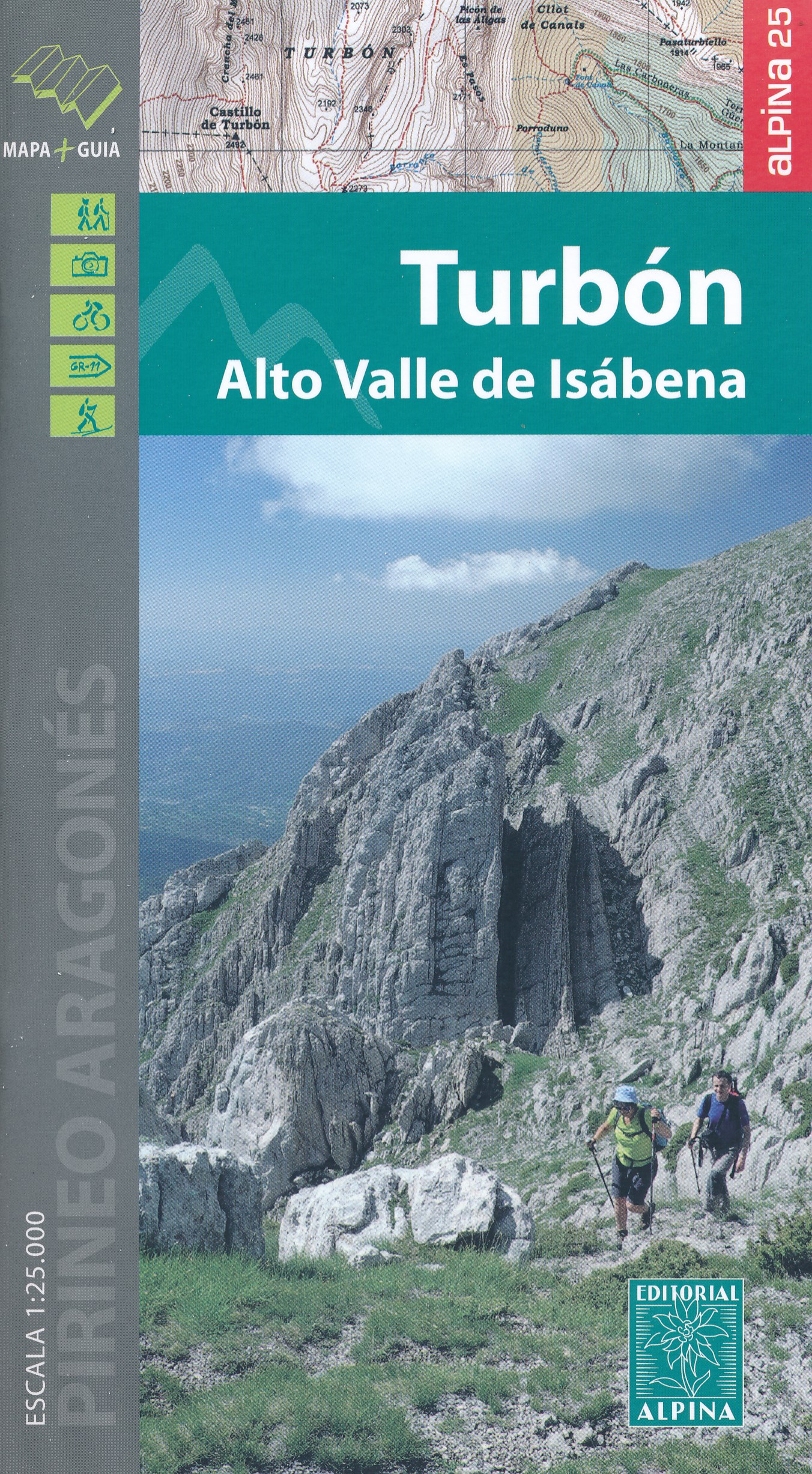
- Wandelkaart 17 Turbón, Alto Valle de Isábena | Editorial Alpina
- El Turbón - Alto Valle de Isábena in an extensive and very popular series of walking maps from Editorial Alpina covering the Pyrenees, Catalonia and other selected hiking areas in Spain, including Picos de Europa, Sierra Nevada and parts of Andalucía, Majorca, etc. Scales vary from 1:50,000 to 1:10,000, with the majority of the titles at... Read more
- Also available from:
- Stanfords, United Kingdom

Stanfords
United Kingdom
United Kingdom
- El Turbón – Alto Valle de Isábena Editorial Alpina
- El Turbón - Alto Valle de Isábena in an extensive and very popular series of walking maps from Editorial Alpina covering the Pyrenees, Catalonia and other selected hiking areas in Spain, including Picos de Europa, Sierra Nevada and parts of Andalucía, Majorca, etc. Scales vary from 1:50,000 to 1:10,000, with the majority of the titles at... Read more
De Zwerver
Netherlands
Netherlands
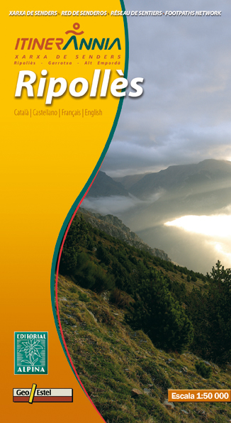
- Wandelkaart Ripolles | Editorial Alpina
- Zeer gedetailleerde wandelkaart van een klein deel van de Spaanse Pyreneeen. Met ingetekende wandelroutes en andere informatie. Uitstekende kaart. Met symbolen voor campings, hutten. Op de topografische wandelkaart worden o.a. berghutten, campings aangeduid en hoogtelijnen, ingetekende wandelroutes en de GR paden (doorgaande... Read more
- Also available from:
- Stanfords, United Kingdom

Stanfords
United Kingdom
United Kingdom
- Ripollès Editorial Alpina
- Ripollès in an extensive and very popular series of walking maps from Editorial Alpina covering the Pyrenees, Catalonia and other selected hiking areas in Spain, including Picos de Europa, Sierra Nevada and parts of Andalucía, Majorca, etc. Scales vary from 1:50,000 to 1:10,000, with the majority of the titles at 1:25,000. The maps have... Read more
De Zwerver
Netherlands
Netherlands
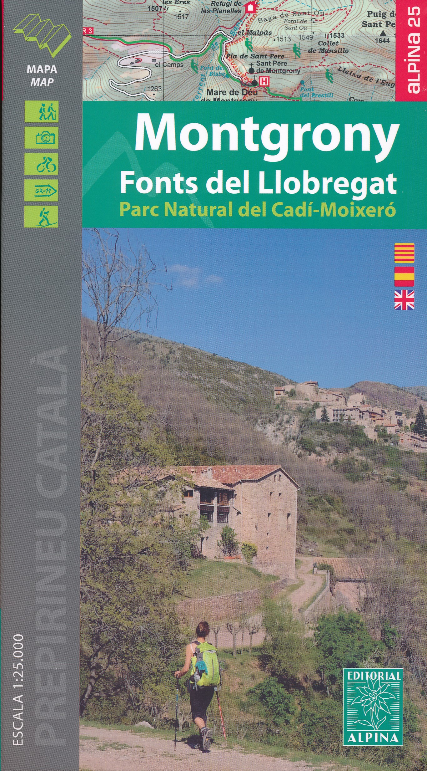
- Wandelkaart 38 Montgrony - Fonts del Llobregat | Editorial Alpina
- Montgrony in an extensive and very popular series of walking maps from Editorial Alpina covering the Pyrenees, Catalonia and other selected hiking areas in Spain, including Picos de Europa, Sierra Nevada and parts of Andalucía, Majorca, etc. Scales vary from 1:50,000 to 1:10,000, with the majority of the titles at 1:25,000. The maps have... Read more
- Also available from:
- Stanfords, United Kingdom

Stanfords
United Kingdom
United Kingdom
- Montgrony - Fonts del Llogregat - Parc Natural del Cadí-Moixerò Editorial Alpina
- Montgrony in an extensive and very popular series of walking maps from Editorial Alpina covering the Pyrenees, Catalonia and other selected hiking areas in Spain, including Picos de Europa, Sierra Nevada and parts of Andalucía, Majorca, etc. Scales vary from 1:50,000 to 1:10,000, with the majority of the titles at 1:25,000. The maps have... Read more
De Zwerver
Netherlands
Netherlands
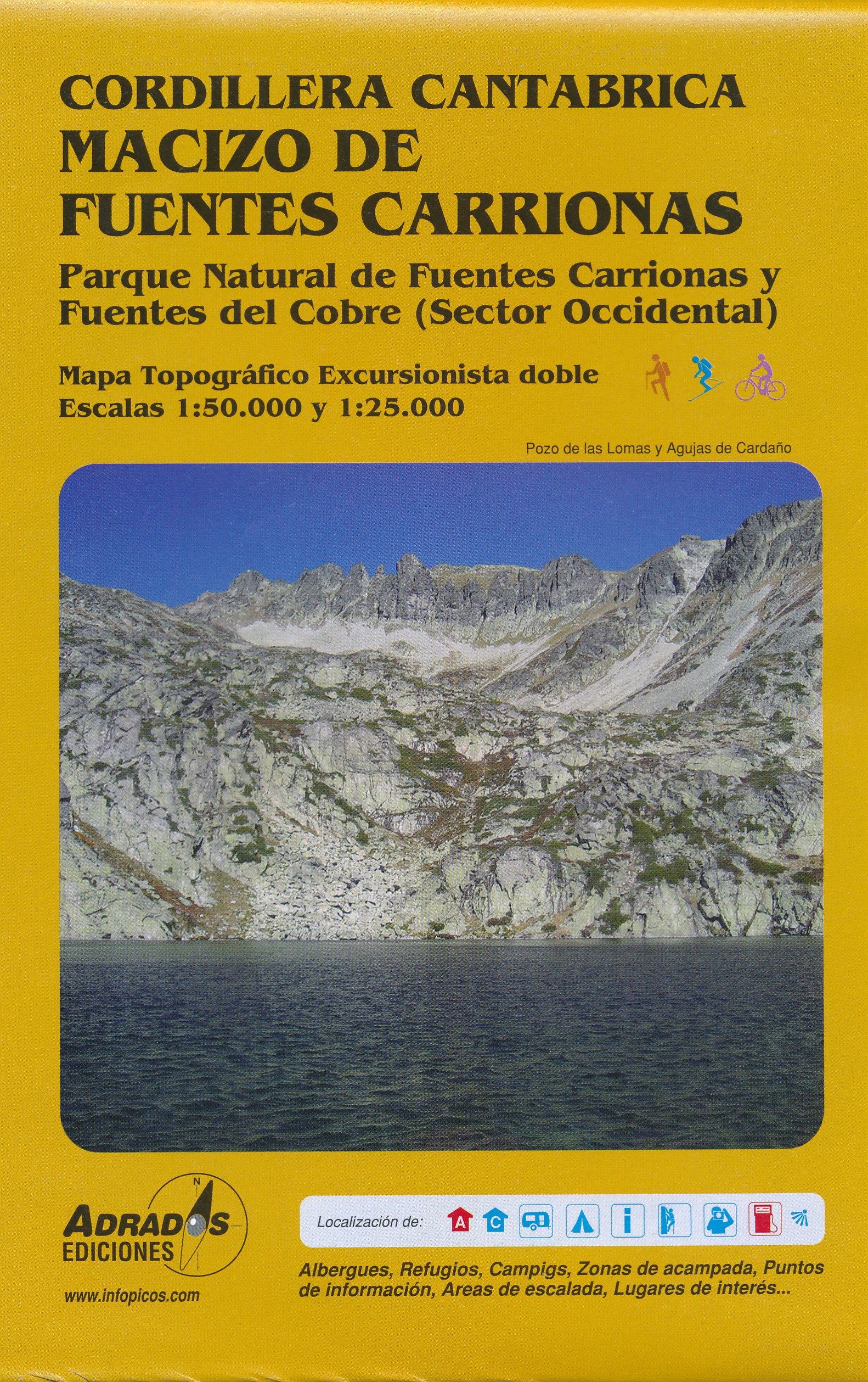
- Wandelkaart Macizo de Fuentes Carrionas | Adrados Ediciones
- Fuentes Carrionas Massif, just south of the Picos de Europa, on a detailed hiking map from Adrados Ediciones combining coverage at 1:60,000 of the western part of Fuentes Carrionas and Fuentes del Cobre Natural Park with more detailed mapping at 1:25,000 of Pe Read more
- Also available from:
- Stanfords, United Kingdom

Stanfords
United Kingdom
United Kingdom
- Fuentes Carrionas Massif Adrados Map PAPER
- Fuentes Carrionas Massif, just south of the Picos de Europa, on a detailed hiking map from Adrados Ediciones combining coverage at 1:50,000 of the western part of Fuentes Carrionas and Fuentes del Cobre Natural Park with more detailed mapping at 1:25,000 of Peña Prieta Massif.The main map at 1:50,000 has contours at 20m intervals with bold... Read more
De Zwerver
Netherlands
Netherlands
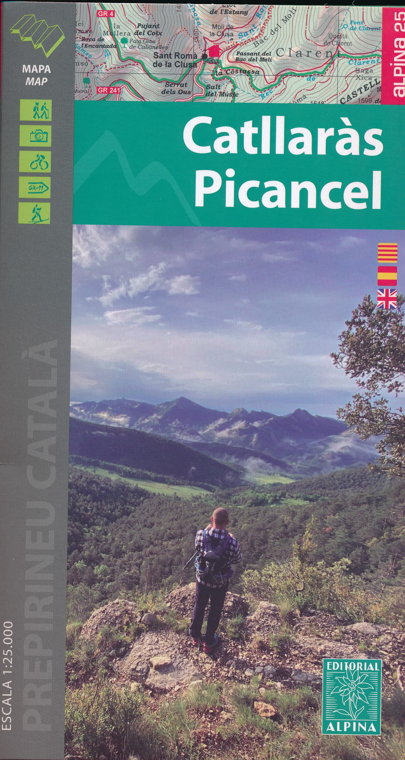
- Wandelkaart 39 Catllaràs Picancel | Editorial Alpina
- Catllaràs Picancel in an extensive and very popular series of walking maps from Editorial Alpina covering the Pyrenees, Catalonia and other selected hiking areas in Spain, including Picos de Europa, Sierra Nevada and parts of Andalucía, Majorca, etc. Scales vary from 1:50,000 to 1:10,000, with the majority of the titles at 1:25,000. The maps... Read more
- Also available from:
- Stanfords, United Kingdom

Stanfords
United Kingdom
United Kingdom
- Catllaràs - Picancel Editorial Alpina
- Catllaràs Picancel in an extensive and very popular series of walking maps from Editorial Alpina covering the Pyrenees, Catalonia and other selected hiking areas in Spain, including Picos de Europa, Sierra Nevada and parts of Andalucía, Majorca, etc. Scales vary from 1:50,000 to 1:10,000, with the majority of the titles at 1:25,000. The maps... Read more
De Zwerver
Netherlands
Netherlands
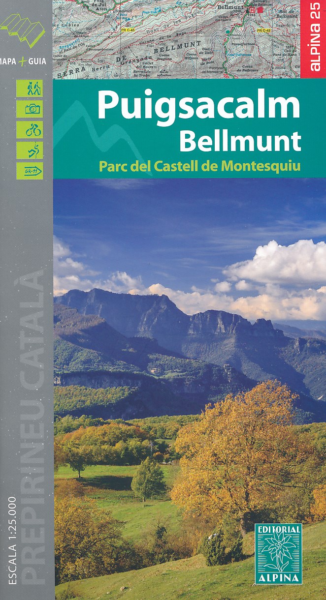
- Wandelkaart 45 Puigsacalm Bellmunt | Editorial Alpina
- Zeer gedetailleerde wandelkaart van een klein deel van de Spaanse Pyreneeen. Met ingetekende wandelroutes en andere informatie. Uitstekende kaart. Met symbolen voor campings, hutten. Op de topografische wandelkaart worden o.a. berghutten, campings aangeduid en hoogtelijnen, ingetekende wandelroutes en de GR paden (doorgaande... Read more
- Also available from:
- Stanfords, United Kingdom

Stanfords
United Kingdom
United Kingdom
- Puigsacalm - Bellmunt Editorial Alpina
- Puigsacalm - Bellmunt in an extensive and very popular series of walking maps from Editorial Alpina covering the Pyrenees, Catalonia and other selected hiking areas in Spain, including Picos de Europa, Sierra Nevada and parts of Andalucía, Majorca, etc. Scales vary from 1:50,000 to 1:10,000, with the majority of the titles at 1:25,000. The maps... Read more
De Zwerver
Netherlands
Netherlands
- Wandelkaart Picos de Europa, Macizos Central y Oriental | Adrados Ediciones
- Uitstekende wandelkaart van het oostelijk gedeelte van de Picos de Europa. Om het geheel compleet te krijgen heb je ook het westelijke deel nodig. Alle wandelroutes staan keurig ingetekend, topografische details als hoogtelijnen ontbreken niet en ook berghutten en campings zijn er op te vinden. (LOS URRIELES Y ANDARA). Voorzien van UTM grid dus... Read more
- Also available from:
- Stanfords, United Kingdom

Stanfords
United Kingdom
United Kingdom
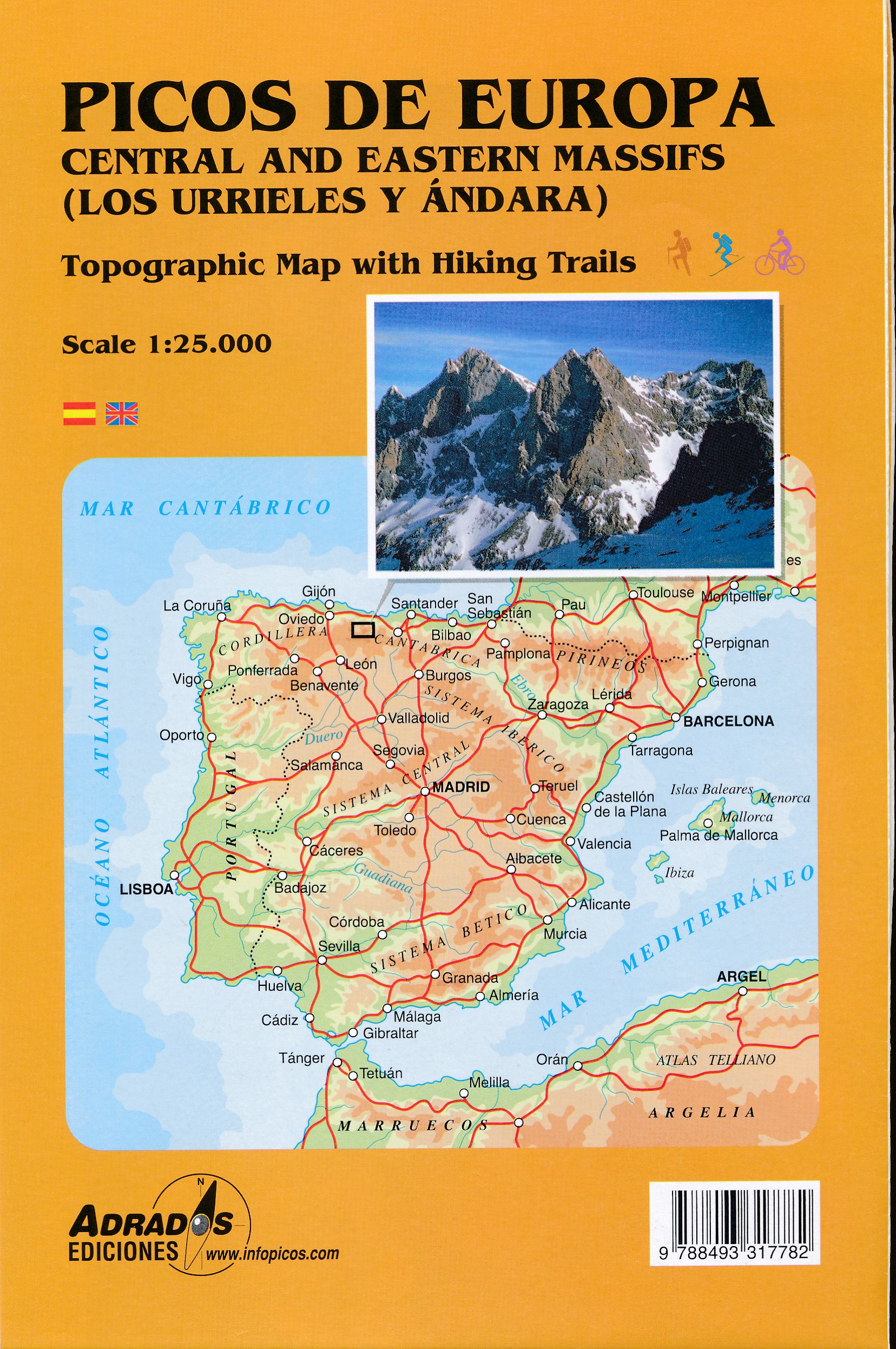
- Picos de Europa - Central and East Massifs: Los Urrieles and Andara Adrados Map PAPER
- Paper edition of Picos de Europa Central and East: Massifs Los Urrieles and Andarra, a contoured and GPS compatible map at 1:25,000 from Adrados Ediciones with an exceptionally vivid presentation of the terrain, plus on the reverse a panorama drawing of the area, a list of summits and caves with GPS waypoints, etc.Contours at 10m intervals (50m... Read more
De Zwerver
Netherlands
Netherlands
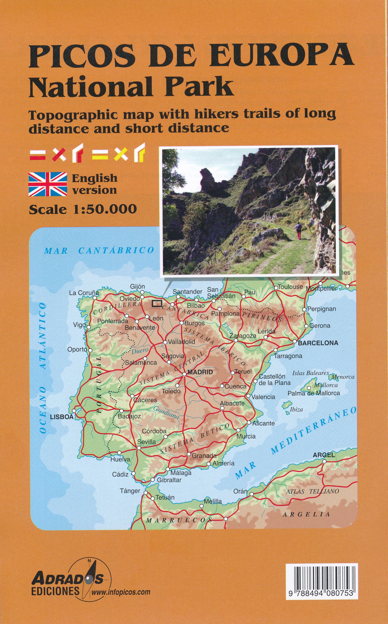
- Wandelkaart Picos de Europa National Park | Adrados Ediciones
- Picos de Europa National Park Short and Long-Distance Trails at 1:50,000 on an excellent, contoured and GPS compatible map from Adrados Ediciones highlighting three hiking routes which can be combined into a Tour of the Picos, plus English language descriptions of the routes and lists of mountain huts and refuges.The map covers the whole of the... Read more
- Also available from:
- Stanfords, United Kingdom

Stanfords
United Kingdom
United Kingdom
- Picos de Europa National Park Short and Long-Distance Trails
- Picos de Europa National Park Short and Long-Distance Trails at 1:50,000 on an excellent, contoured and GPS compatible map from Adrados Ediciones highlighting three hiking routes which can be combined into a Tour of the Picos, plus English language descriptions of the routes and lists of mountain huts and refuges.The map covers the whole of the... Read more
- Also available from:
- Stanfords, United Kingdom
Stanfords
United Kingdom
United Kingdom
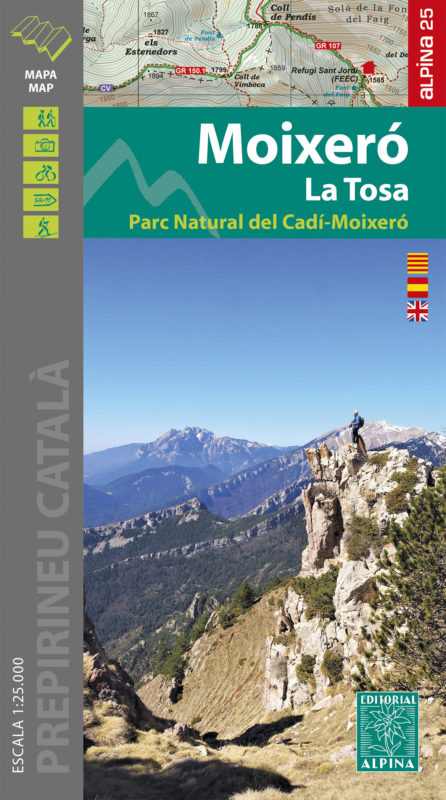
- Moixeró - La Tosa - Cadí-Moixeró Natural Park Editorial Alpina
- Moixeró - La Tosa in an extensive and very popular series of walking maps from Editorial Alpina covering the Pyrenees, Catalonia and other selected hiking areas in Spain, including Picos de Europa, Sierra Nevada and parts of Andalucía, Majorca, etc. Scales vary from 1:50,000 to 1:10,000, with the majority of the titles at 1:25,000. The maps... Read more
De Zwerver
Netherlands
Netherlands
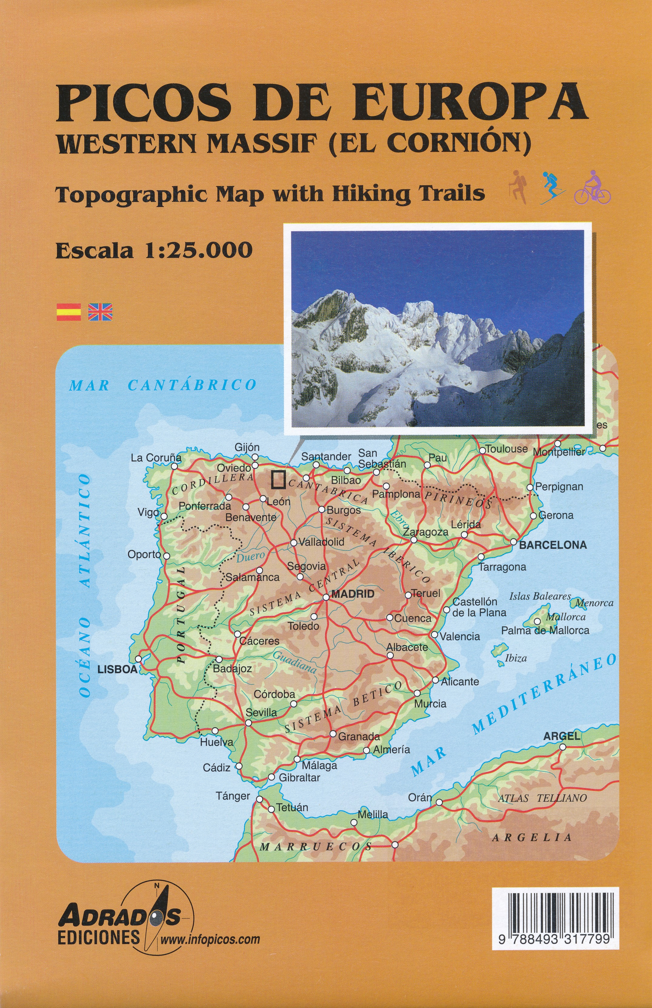
- Wandelkaart Picos de Europa, Macizo Occidental (El Cornion) | Adrados Ediciones
- Uitstekende wandelkaart van het westelijk gedeelte van de Picos de Europa. Om het geheel compleet te krijgen heb je ook het oostelijke deel nodig. Alle wandelroutes staan keurig ingetekend, topografische details als hoogtelijnen ontbreken niet en ook berghutten en campings zijn er op te vinden. (EL CORNION). Voorzien van UTM grid dus GPS... Read more
- Also available from:
- Stanfords, United Kingdom

Stanfords
United Kingdom
United Kingdom
- Picos de Europa Western Massif: El Cornion Adrados Map PAPER
- Paper edition of Picos de Europa West: El Cornion Massif, a contoured and GPS compatible map at 1:25,000 from Adrados Ediciones with an exceptionally vivid presentation of the terrain, plus on the reverse a panorama drawing of the area, a list of summits and caves with GPS waypoints, etc.Contours at 10m intervals, enhanced by bold shading and... Read more
De Zwerver
Netherlands
Netherlands
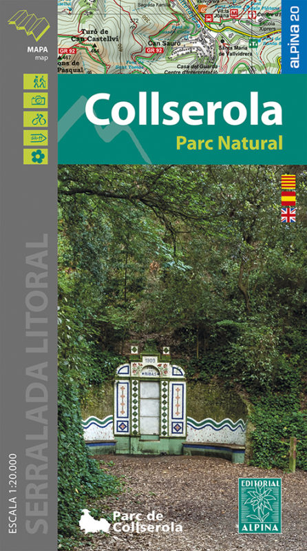
- Wandelkaart 61 Serra de Collserola | Editorial Alpina
- Collserola Natural Park in an extensive and very popular series of walking maps from Editorial Alpina covering the Pyrenees, Catalonia and other selected hiking areas in Spain, including Picos de Europa, Sierra Nevada and parts of Andalucía, Majorca, etc. Scales vary from 1:50,000 to 1:10,000, with the majority of the titles at 1:25,000. The... Read more
- Also available from:
- Stanfords, United Kingdom

Stanfords
United Kingdom
United Kingdom
- Collserola Parc Natural Editorial Alpina
- Collserola Natural Park in an extensive and very popular series of walking maps from Editorial Alpina covering the Pyrenees, Catalonia and other selected hiking areas in Spain, including Picos de Europa, Sierra Nevada and parts of Andalucía, Majorca, etc. Scales vary from 1:50,000 to 1:10,000, with the majority of the titles at 1:25,000. The... Read more