
Euskadi
Beschrijving
Autonomous region in the north of Spain.
Paden in deze landsdeel
Links
Feiten
Verslagen
Gidsen en kaarten
Overnachting
Organisaties
Reisorganisaties
GPS
Anders
Boeken
De Zwerver
Netherlands
2022
Netherlands
2022
De Zwerver
Netherlands
2022
Netherlands
2022
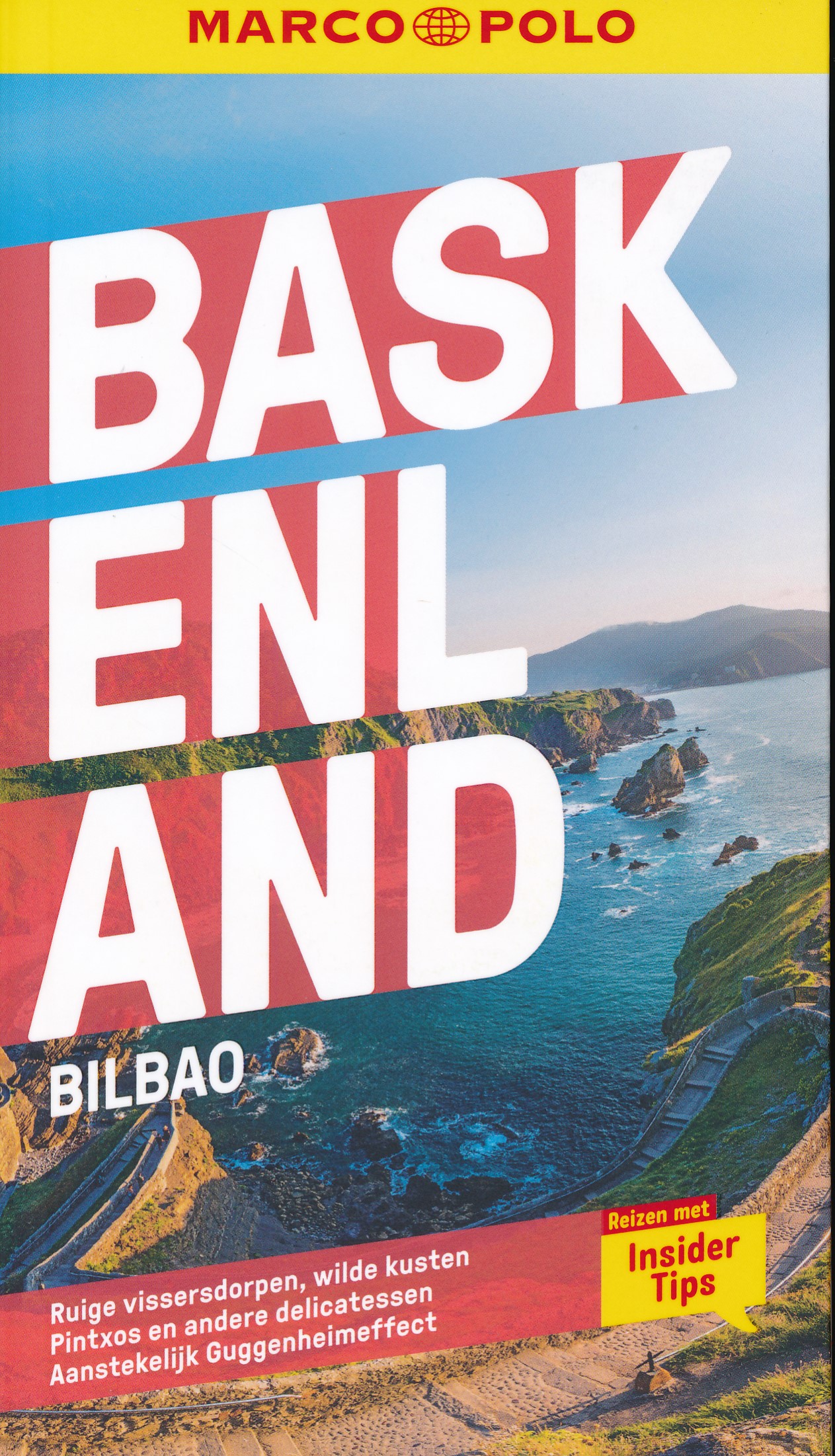
- Wandelgids Baskenland | Rother Bergverlag
- Uitstekende wandelgids met een groot aantal dagtochten in dal en hooggebergte. Met praktische informatie en enigszins beperkt kaartmateriaal! Wandelingen in verschillende zwaarte weergegeven in rood/blauw/zwart. 50 Höhenprofile; 50 Wanderkärtchen im Maßstab 1:50.000 / 1:25.000 / 1:75.000, eine Übersichtskarte; GPS-Tracks zum Download Felsige... Read more
De Zwerver
Netherlands
2019
Netherlands
2019
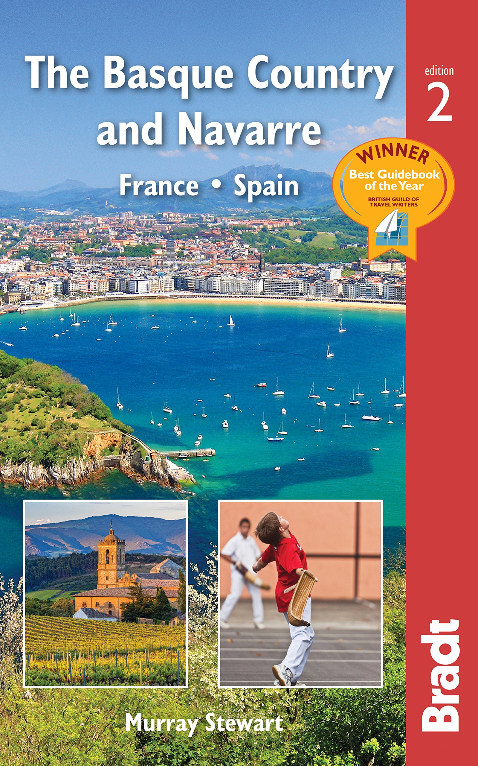
- Reisgids The Basque Country and Navarre - Baskenland | Bradt Travel Guides
- This new, thoroughly updated edition of Bradt`s award-winning guide to the Basque Country and Navarre remains the most comprehensive and in-depth guide available to this multi-lingual, multi-cultural borderland encompassing parts of southern France and northern Spain. This fully revised second edition includes all the elements required for an... Read more
- Also available from:
- Stanfords, United Kingdom

Stanfords
United Kingdom
2019
United Kingdom
2019
- Basque Country and Navarre: France and Spain Bradt Guide
- This new, thoroughly updated edition of Bradt`s award-winning guide to the Basque Country and Navarre remains the most comprehensive and in-depth guide available to this multi-lingual, multi-cultural borderland encompassing parts of southern France and northern Spain. This fully revised second edition includes all the elements required for an... Read more
- Also available from:
- Bol.com, Belgium

De Zwerver
Netherlands
2014
Netherlands
2014
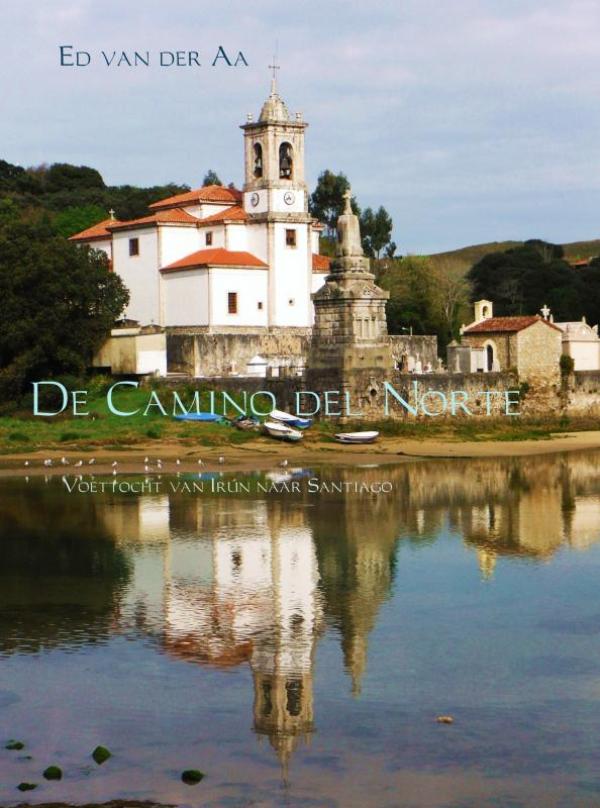
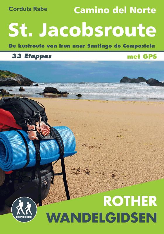
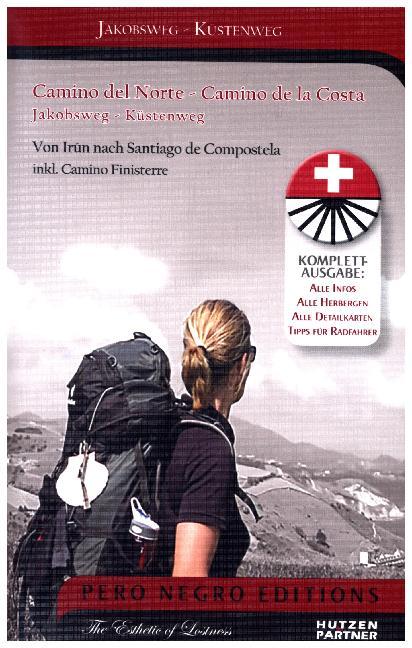
- Wandelgids St. Jacobsroute - noordroute Camino del Norte | Uitgeverij Elmar
- Steeds meer mensen zijn bekend met de Noordelijke kustroute van de Santiago de Compostela, oftewel de Sint Jacobsroute. Deze route wijkt iets af van de traditionele pelgrimsroute en loopt langs de Cantabrische kust. Deze route van de Camino loopt langs plaatsen zoals Bilbao, San Sebastian en Altamira. Deze Rother wandelgids voor de Camino del... Read more
- Also available from:
- Bol.com, Netherlands
- Bol.com, Belgium

Bol.com
Netherlands
2014
Netherlands
2014
- Rother Wandelgids / Camino del Norte
- Steeds meer mensen zijn bekend met de Noordelijke kustroute van de Santiago de Compostela, oftewel de Sint Jacobsroute. Deze route wijkt iets af van de traditionele pelgrimsroute en loopt langs de Cantabrische kust. Deze route van de Camino loopt langs plaatsen zoals Bilbao, San Sebastian en Altamira. Deze Rother wandelgids voor de Camino del... Read more
Bol.com
Belgium
2014
Belgium
2014
- Rother Wandelgids / Camino del Norte
- Steeds meer mensen zijn bekend met de Noordelijke kustroute van de Santiago de Compostela, oftewel de Sint Jacobsroute. Deze route wijkt iets af van de traditionele pelgrimsroute en loopt langs de Cantabrische kust. Deze route van de Camino loopt langs plaatsen zoals Bilbao, San Sebastian en Altamira. Deze Rother wandelgids voor de Camino del... Read more
Bol.com
Netherlands
2016
Netherlands
2016
- Landscapes of the Basque country of Spain and France
- Use this guide to tour and walk in the most beautiful landscapes of the Basque Country, which many believe is the home of Europe's oldest race and surviving language. Don't miss the awardwinning Guggenheim Museum in Bilbao, the San Fermines fiestas at Iruña-Pamplona, or stunning coastal resorts like Donostia-San Sebastián and Biarritz. But most... Read more
- Also available from:
- Bol.com, Belgium
- Stanfords, United Kingdom
Bol.com
Belgium
2016
Belgium
2016
- Landscapes of the Basque country of Spain and France
- Use this guide to tour and walk in the most beautiful landscapes of the Basque Country, which many believe is the home of Europe's oldest race and surviving language. Don't miss the awardwinning Guggenheim Museum in Bilbao, the San Fermines fiestas at Iruña-Pamplona, or stunning coastal resorts like Donostia-San Sebastián and Biarritz. But most... Read more

Stanfords
United Kingdom
2016
United Kingdom
2016
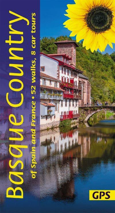
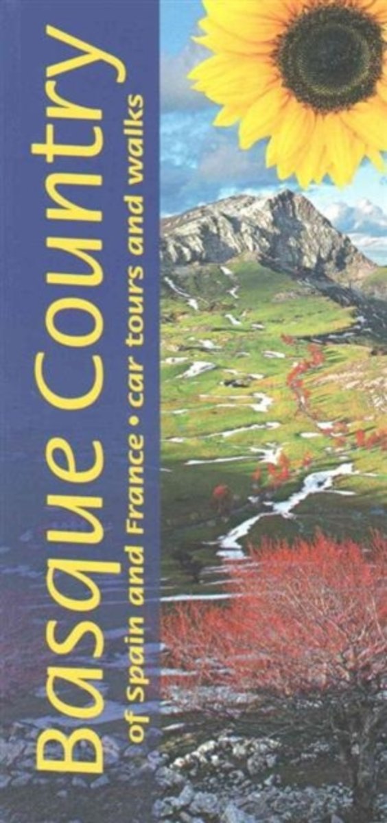
- Basque Country of Spain and France Sunflower Landscape Guide
- This is the first guide to bring together walks and drives in the Basque Country, which runs east from Bilbao in Spain to Biarritz in France. The book explores the coast and inland - throughout the seven provinces making up the area, including the lush green flanks of the Pyrenees with their picture-postcard villages and famous places like... Read more
Bol.com
Netherlands
Netherlands
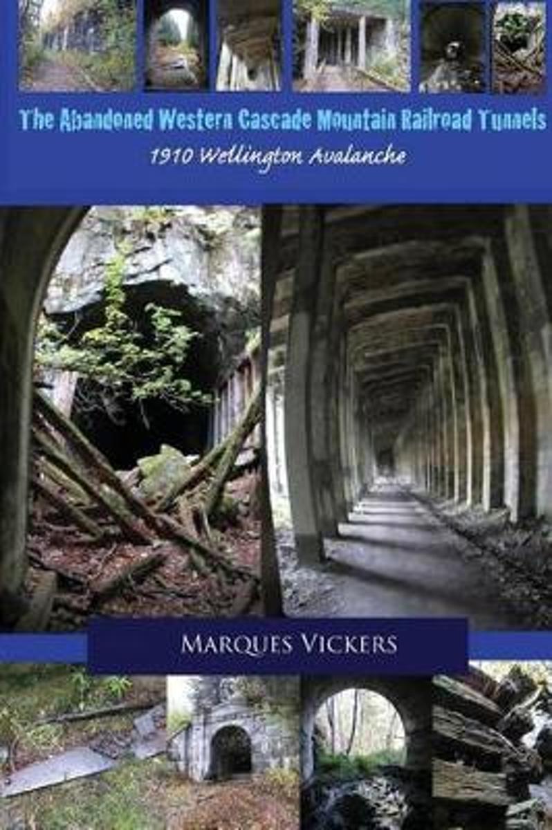
- The Abandoned Western Cascade Mountain Railroad Tunnels
- The creation of the train routes through the Western Washington Cascade Mountains proved a monumental challenge. The conflict arose between the engineering capabilities of man and the treacherous topography and inclimate weather of the region. The nine miles of track connecting the towns of Stevens Pass, Wellington and Scenic, Washington... Read more
- Also available from:
- Bol.com, Belgium
Bol.com
Belgium
Belgium
- The Abandoned Western Cascade Mountain Railroad Tunnels
- The creation of the train routes through the Western Washington Cascade Mountains proved a monumental challenge. The conflict arose between the engineering capabilities of man and the treacherous topography and inclimate weather of the region. The nine miles of track connecting the towns of Stevens Pass, Wellington and Scenic, Washington... Read more
Bol.com
Netherlands
Netherlands
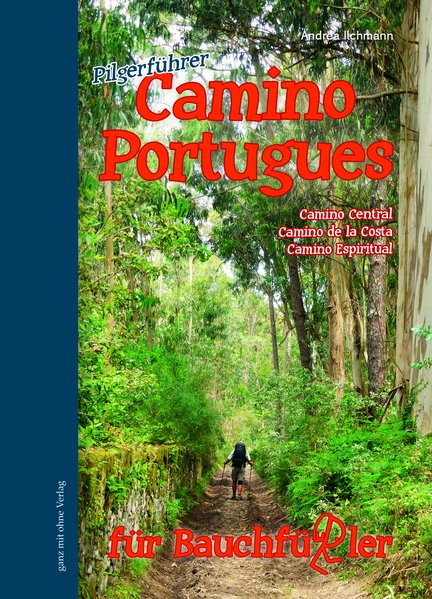
- Camino Portugues für Bauchfüßler
- Camino Central, Camino de la Costa, Camino Espiritual Read more
- Also available from:
- Bol.com, Belgium
Bol.com
Belgium
Belgium
- Camino Portugues für Bauchfüßler
- Camino Central, Camino de la Costa, Camino Espiritual Read more
Bol.com
Netherlands
2018
Netherlands
2018
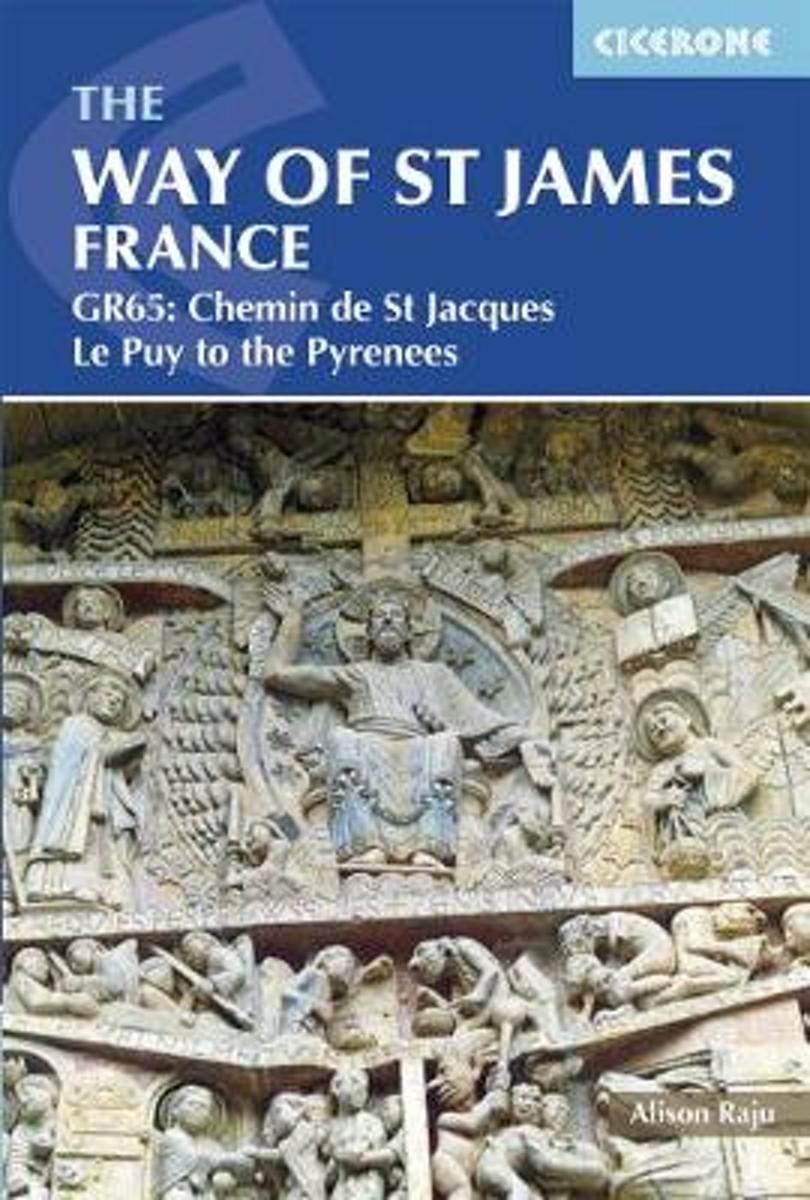
- The Way of St James - Le Puy to the Pyrenees
- This comprehensive guidebook describes the Way of St James (Camino de Santiago) pilgrim route through France. Also known as the Chemin de St Jacques or GR65, the 730km (454 mile) route runs from Le Puy-en-Velay in central France to Saint-Jean-Pied-de-Port in the Pyrenees. People have been walking it as a pilgrimage route for over 1000 years,... Read more
- Also available from:
- Bol.com, Belgium
Bol.com
Belgium
2018
Belgium
2018
- The Way of St James - Le Puy to the Pyrenees
- This comprehensive guidebook describes the Way of St James (Camino de Santiago) pilgrim route through France. Also known as the Chemin de St Jacques or GR65, the 730km (454 mile) route runs from Le Puy-en-Velay in central France to Saint-Jean-Pied-de-Port in the Pyrenees. People have been walking it as a pilgrimage route for over 1000 years,... Read more

De Zwerver
Netherlands
Netherlands
- Also available from:
- Bol.com, Netherlands
- Bol.com, Belgium
- Stanfords, United Kingdom
- The Book Depository, United Kingdom

Bol.com
Netherlands
Netherlands
- Purbeck & South Dorset, Poole, Dorchester, Weymouth & Swanage
- OS Explorer is the Ordnance Survey's most detailed map and is recommended for anyone enjoying outdoor activities like walking, horse riding and off-road cycling. The OS Explorer range of OL maps now includes a digital version of the paper map, accessed through the OS smartphone app, OS Maps. Providing complete GB coverage the series details... Read more
Bol.com
Belgium
Belgium
- Purbeck & South Dorset, Poole, Dorchester, Weymouth & Swanage
- OS Explorer is the Ordnance Survey's most detailed map and is recommended for anyone enjoying outdoor activities like walking, horse riding and off-road cycling. The OS Explorer range of OL maps now includes a digital version of the paper map, accessed through the OS smartphone app, OS Maps. Providing complete GB coverage the series details... Read more

Stanfords
United Kingdom
United Kingdom
- Purbeck & South Dorset - Poole, Dorchester - Weymouth & Swanage OS Explorer Map OL15 (paper)
- Purbeck and the southern part of Dorset on a detailed topographic and GPS compatible map OL15, paper version, from the Ordnance Survey’s 1:25,000 Explorer series. Coverage extends from Poole and Swanage in the east to Bridport in the west, and includes Dorchester, Tolpuddle, Bere Regis, Wareham, Weymouth, Chesil Beach, Portland Bill, the final... Read more

The Book Depository
United Kingdom
United Kingdom
Kaarten
De Zwerver
Netherlands
Netherlands
- Also available from:
- Stanfords, United Kingdom

Stanfords
United Kingdom
United Kingdom
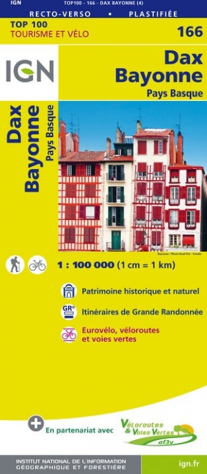
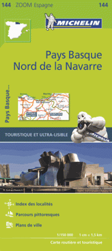
- Dax - Bayonne - Pays Basque IGN TOP100 166
- Discover the new double-sided laminated edition of TOP100 road maps of France from the Institut Géographique National (IGN); exceptionally detailed, contoured road maps which include the cycle paths and greenways of the AF3V (French Association for the Development of Cycle Paths and Greenways), ideal for exploring the French countryside by car,... Read more
De Zwerver
Netherlands
2023
Netherlands
2023
De Zwerver
Netherlands
2015
Netherlands
2015
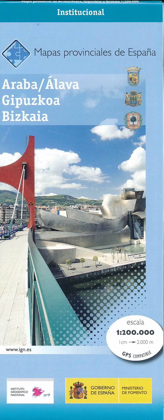
- Wegenkaart - landkaart Mapa Provincial Alava Guipuzcoa Vizcaya | CNIG - Instituto Geográfico Nacional
- Contoured, GPS-compatible, indexed road map at 1:200,000 from CNIG - Spain’s civilian survey organization, with exceptionally informative presentation of the landscape and highlighting for facilities and places of interest including campsites and paradors.Maps in CNIG’s 200K Provincial Series provide an excellent picture the topography through... Read more
- Also available from:
- Stanfords, United Kingdom

Stanfords
United Kingdom
2015
United Kingdom
2015
- Araba/Alava, Guipuzcoa & Vizcaya Provinces 200K CNIG Map No. 1
- Contoured, GPS-compatible, indexed road map at 1:200,000 from CNIG - Spain’s civilian survey organization, with exceptionally informative presentation of the landscape and highlighting for facilities and places of interest including campsites and paradors.Maps in CNIG’s 200K Provincial Series provide an excellent picture the topography through... Read more
De Zwerver
Netherlands
2017
Netherlands
2017
De Zwerver
Netherlands
Netherlands
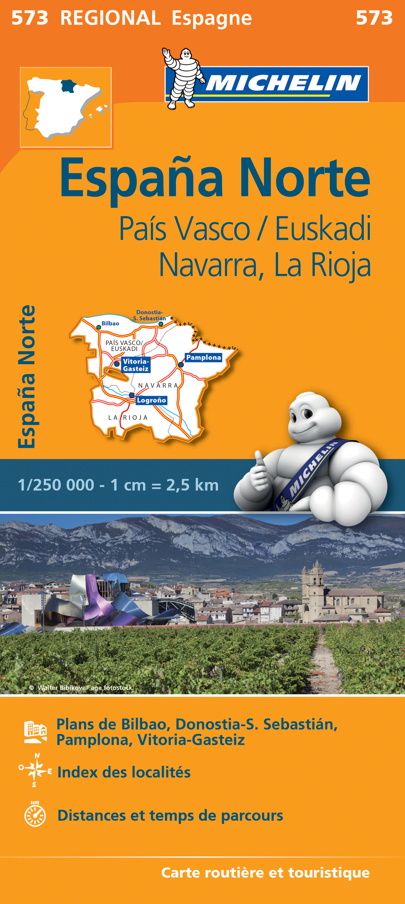
- Wegenkaart - landkaart 573 Pais Vasco - Euskadi - Navarra -La Rioja - Pamplona - Baskenland | Michelin
- Une carte fiable pour parcourir les régions d'Europe Read more