
Dalarna
Beschrijving
Paden in deze landsdeel
Links
Feiten
Verslagen
Gidsen en kaarten
Overnachting
Organisaties
Reisorganisaties
GPS
Anders
Boeken
.jpg)
De Zwerver
Netherlands
2014
Netherlands
2014
- Wandelgids Wandelen in Dalarna - Zweden | One Day Walks
- Veel Zweedser dan Dalarna zul je het niet vinden. Een groot deel van de Zweedse cultuur en folklore, van tradities en gebruiken die tot op de dag van vandaag worden gekoesterd en (her)beleefd, komen hier vandaan. Die culturele rijkdom laat zich goed combineren met het natuurschoon dat de provincie in overvloed te bieden heeft: uitgestrekte... Read more

De Zwerver
Netherlands
2017
Netherlands
2017
- Wandelgids 411 Kautokeino - Nordkap E1 | Conrad Stein Verlag
- Handzaam boekje met de routebeschrijving inclusief een heleboel praktische informatie. De beschrijving is uitstekend, maar kaarten zijn wat beperkt. Duits. Die 330 km lange Wanderung auf dem E1 von Kautokeino zum Nordkap ist ein unvergessliches Wanderabenteuer. In 15 Etappen laufen Sie durch die Wildnis Nordnorwegens und überqueren die... Read more
De Zwerver
Netherlands
2018
Netherlands
2018
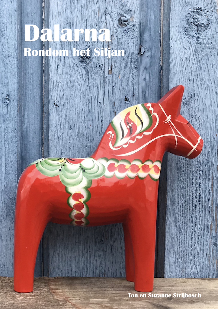
- Reisgids Dalarna - rondom het Siljan meer | Hem62
- In deze reisgids geven wij een kijk op Dalarna op basis van onze eigen ervaringen. Het is een reisgids geworden met een afwisseling van blogverhalen, informatie en toeristische tips. Read more

De Zwerver
Netherlands
2022
Netherlands
2022


De Zwerver
Netherlands
2022
Netherlands
2022
Bol.com
Netherlands
2014
Netherlands
2014
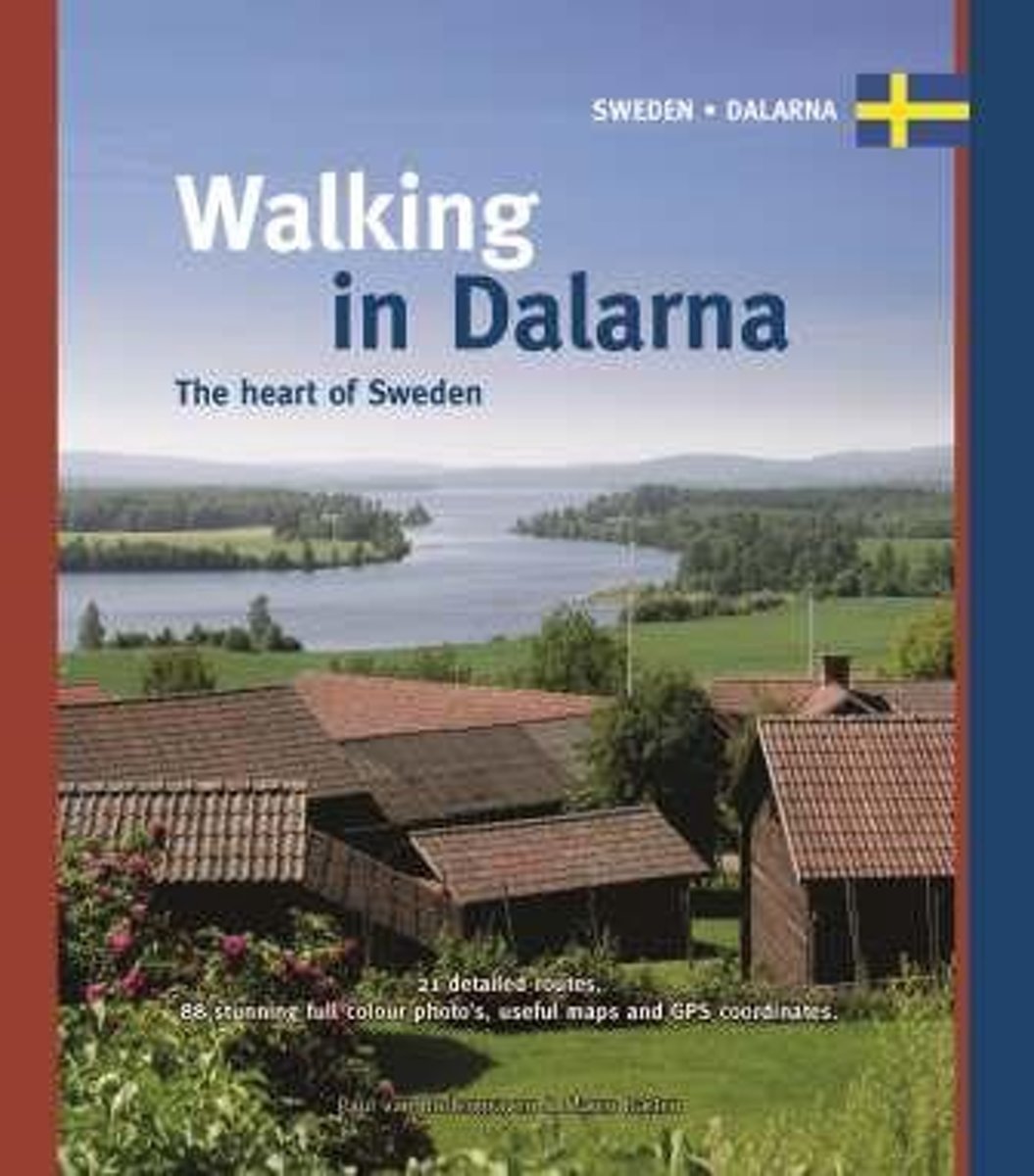
- Walking in Dalarna
- There is hardly anywhere more Swedish than Dalarna. A large part of the Swedish culture and folklore, from traditions to customs, which is cherished and (re)lived until this very day, comes from this region in the centre of the country. This cultural wealth can easily be combined with the natural beauty that the province has to offer in... Read more
- Also available from:
- Bol.com, Belgium
- Stanfords, United Kingdom
- The Book Depository, United Kingdom
Bol.com
Belgium
2014
Belgium
2014
- Walking in Dalarna
- There is hardly anywhere more Swedish than Dalarna. A large part of the Swedish culture and folklore, from traditions to customs, which is cherished and (re)lived until this very day, comes from this region in the centre of the country. This cultural wealth can easily be combined with the natural beauty that the province has to offer in... Read more

Stanfords
United Kingdom
2014
United Kingdom
2014
- Walking in Dalarna: The Heart of Sweden
- There is hardly anywhere more Swedish than Dalarna. A large part of the Swedish culture and folklore, from traditions to customs, which is cherished and (re)lived until this very day, comes from this region in the centre of the country. This cultural wealth can easily be combined with the natural beauty that the province has to offer in... Read more

Kaarten

De Zwerver
Netherlands
Netherlands
- Wandelkaart 63 Eggegebirge (Nordteil) mit Eggeweg, E1, Jakobspilgerweg | GeoMap
- Topographische Wanderkarte für den nördlichen Teil des Eggegebirges mit Eggeweg, E1, Jakobspilgerweg. 4. Auflage. Read more
De Zwerver
Netherlands
Netherlands
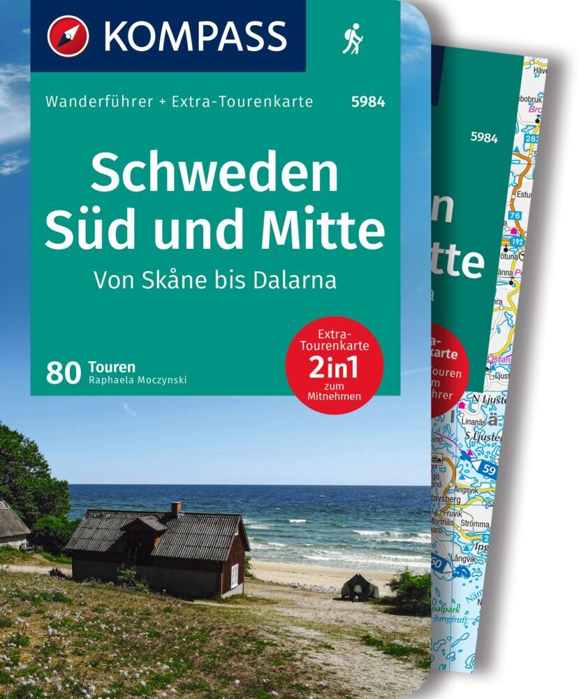
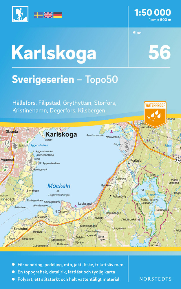
- Wandelkaart - Topografische kaart 56 Sverigeserien Karlskoga | Norstedts
- Sverigeserien is an outdoor map series consisting of 116 sheets with coverage of southern and central Sweden and the northern coastline. The map is suitable for outdoor activities such as hiking, excursions, trail running, hunting, fishing, riding, cycling, mountain biking, paddling, skating and much more. Every sheet covers an area of... Read more
De Zwerver
Netherlands
2017
Netherlands
2017
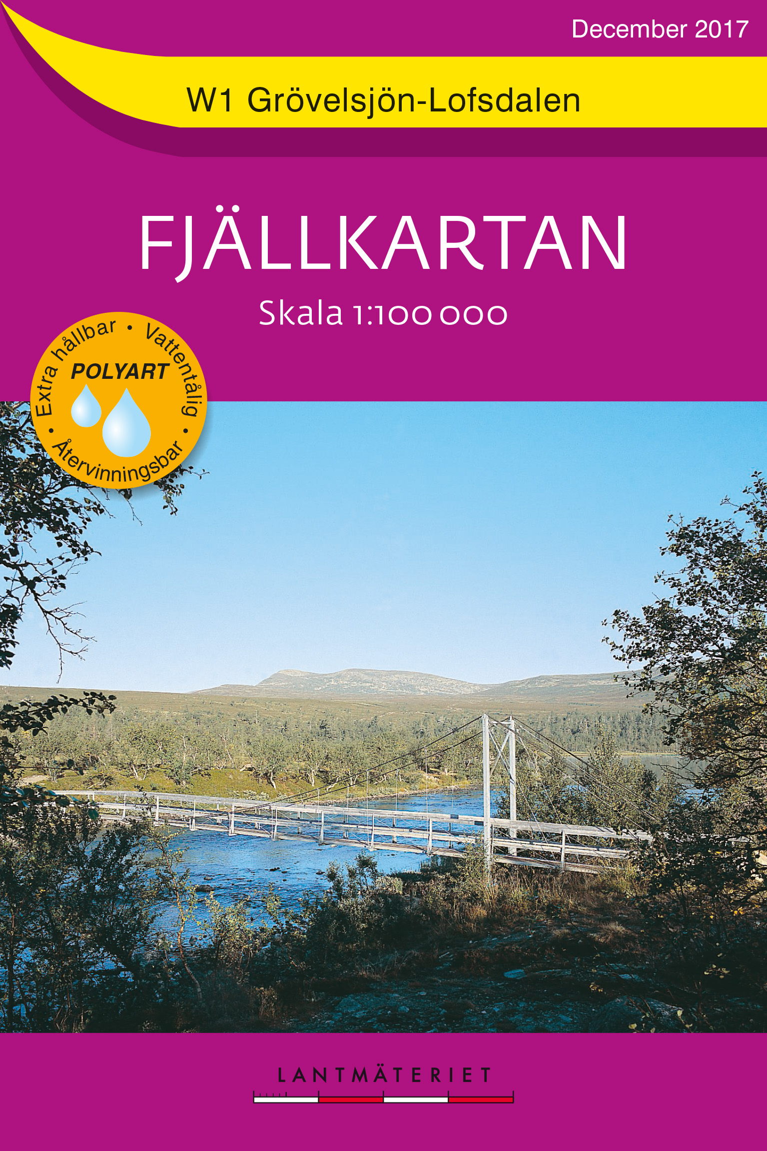
- Wandelkaart W1 Fjällkartan Grövelsjön - Lofsdalen | Lantmäteriet
- Mountain areas of central and northern Sweden on waterproof and tear-resistant, GPS compatible topographic �Fj�llkartan� maps at 1:100,000 and 1:50,000 from Lantm�teriet - the country�s national survey organization, with hiking and ski routes, campsites and youth hostels, etc. Relief is shown by contours at 20m intervals and enhanced by relief ... Read more
- Also available from:
- Stanfords, United Kingdom

Stanfords
United Kingdom
2017
United Kingdom
2017
- Grövelsjön - Lofsdalen Lantmateriet W1
- Mountain areas of central and northern Sweden on waterproof and tear-resistant, GPS compatible topographic “Fjällkartan” maps at 1:100,000 and 1:50,000 from Lantmäteriet - the country’s national survey organization, with hiking and ski routes, campsites and youth hostels, etc. Relief is shown by contours at 20m intervals and enhanced by relief... Read more
De Zwerver
Netherlands
Netherlands
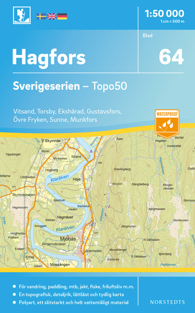
- Wandelkaart - Topografische kaart 64 Sverigeserien Hagfors | Norstedts
- Sverigeserien is an outdoor map series consisting of 116 sheets with coverage of southern and central Sweden and the northern coastline. The map is suitable for outdoor activities such as hiking, excursions, trail running, hunting, fishing, riding, cycling, mountain biking, paddling, skating and much more. Every sheet covers an area of... Read more
De Zwerver
Netherlands
Netherlands
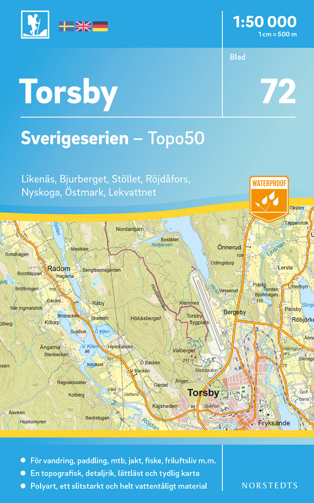
- Wandelkaart - Topografische kaart 72 Sverigeserien Torsby | Norstedts
- Sverigeserien is an outdoor map series consisting of 116 sheets with coverage of southern and central Sweden and the northern coastline. The map is suitable for outdoor activities such as hiking, excursions, trail running, hunting, fishing, riding, cycling, mountain biking, paddling, skating and much more. Every sheet covers an area of... Read more
De Zwerver
Netherlands
2022
Netherlands
2022
De Zwerver
Netherlands
Netherlands
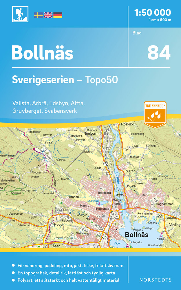
- Wandelkaart - Topografische kaart 84 Sverigeserien Bollnäs | Norstedts
- Sverigeserien is an outdoor map series consisting of 116 sheets with coverage of southern and central Sweden and the northern coastline. The map is suitable for outdoor activities such as hiking, excursions, trail running, hunting, fishing, riding, cycling, mountain biking, paddling, skating and much more. Every sheet covers an area of... Read more
De Zwerver
Netherlands
Netherlands
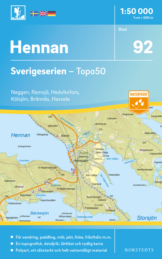
- Wandelkaart - Topografische kaart 92 Sverigeserien Hennan | Norstedts
- Sverigeserien is an outdoor map series consisting of 116 sheets with coverage of southern and central Sweden and the northern coastline. The map is suitable for outdoor activities such as hiking, excursions, trail running, hunting, fishing, riding, cycling, mountain biking, paddling, skating and much more. Every sheet covers an area of... Read more
De Zwerver
Netherlands
2022
Netherlands
2022
De Zwerver
Netherlands
Netherlands
De Zwerver
Netherlands
Netherlands
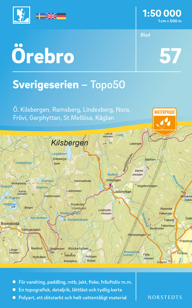
- Wandelkaart - Topografische kaart 57 Sverigeserien Örebro | Norstedts
- Sverigeserien is an outdoor map series consisting of 116 sheets with coverage of southern and central Sweden and the northern coastline. The map is suitable for outdoor activities such as hiking, excursions, trail running, hunting, fishing, riding, cycling, mountain biking, paddling, skating and much more. Every sheet covers an area of... Read more
De Zwerver
Netherlands
2017
Netherlands
2017
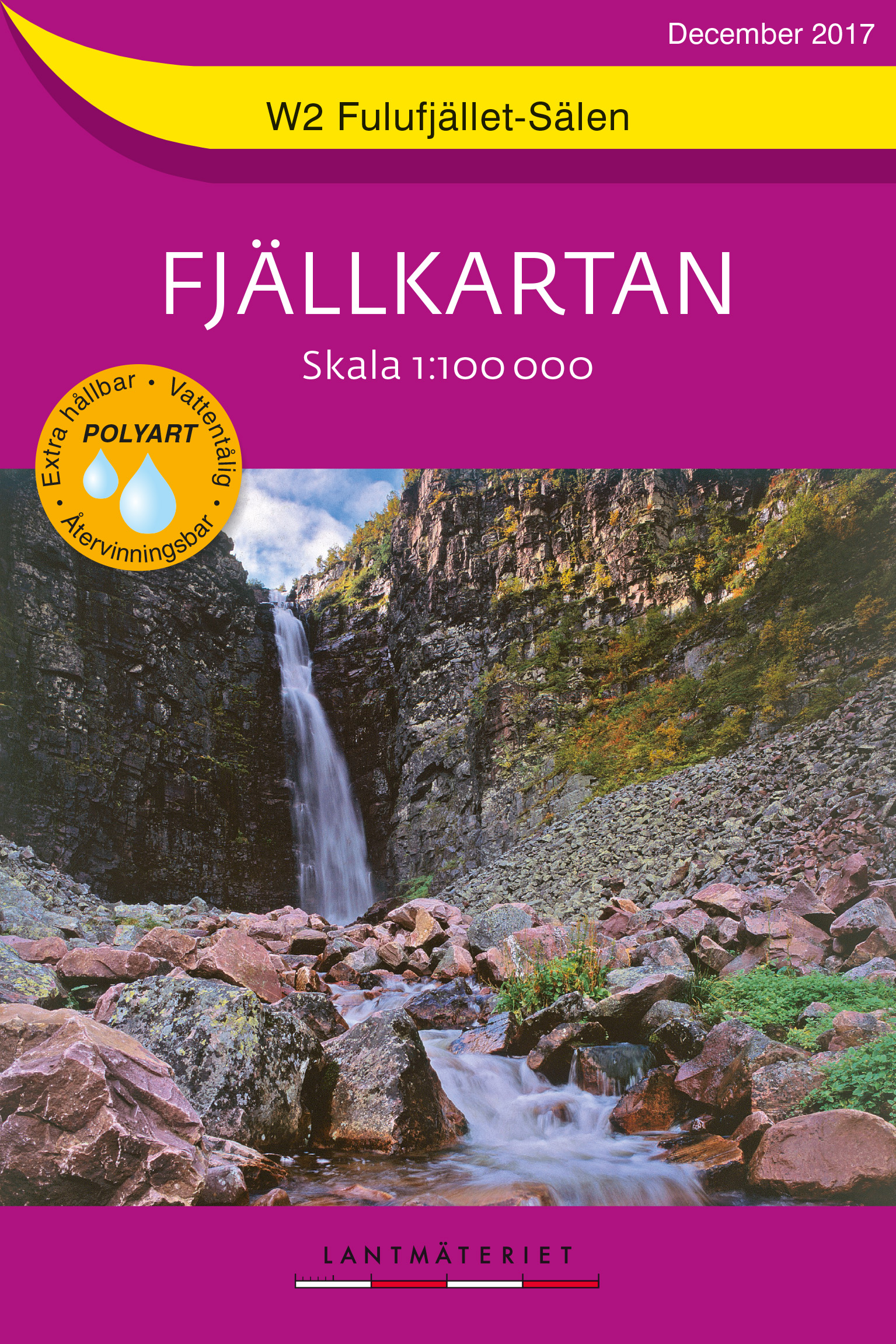
- Wandelkaart W2 Fjällkartan Fulufjället - Sälen | Lantmäteriet
- Mountain areas of central and northern Sweden on waterproof and tear-resistant, GPS compatible topographic �Fj�llkartan� maps at 1:100,000 and 1:50,000 from Lantm�teriet - the country�s national survey organization, with hiking and ski routes, campsites and youth hostels, etc. Relief is shown by contours at 20m intervals and enhanced by relief ... Read more
- Also available from:
- Stanfords, United Kingdom

Stanfords
United Kingdom
2017
United Kingdom
2017
- Fulufjället - Sälen Lantmateriet W2
- Mountain areas of central and northern Sweden on waterproof and tear-resistant, GPS compatible topographic “Fjällkartan” maps at 1:100,000 and 1:50,000 from Lantmäteriet - the country’s national survey organization, with hiking and ski routes, campsites and youth hostels, etc. Relief is shown by contours at 20m intervals and enhanced by relief... Read more
De Zwerver
Netherlands
Netherlands
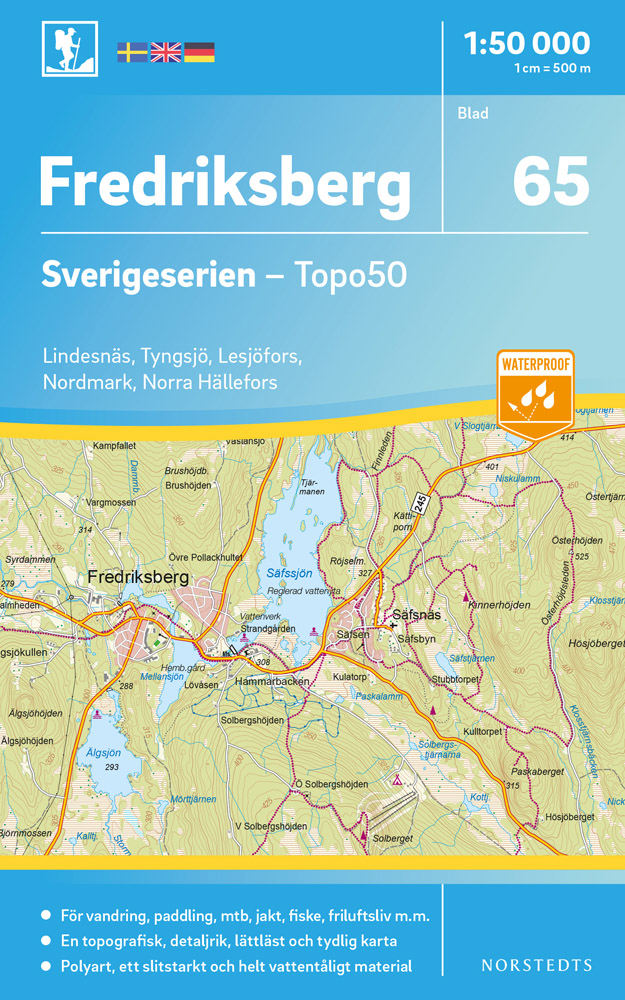
- Wandelkaart - Topografische kaart 65 Sverigeserien Fredriksberg | Norstedts
- Sverigeserien is an outdoor map series consisting of 116 sheets with coverage of southern and central Sweden and the northern coastline. The map is suitable for outdoor activities such as hiking, excursions, trail running, hunting, fishing, riding, cycling, mountain biking, paddling, skating and much more. Every sheet covers an area of... Read more
De Zwerver
Netherlands
Netherlands
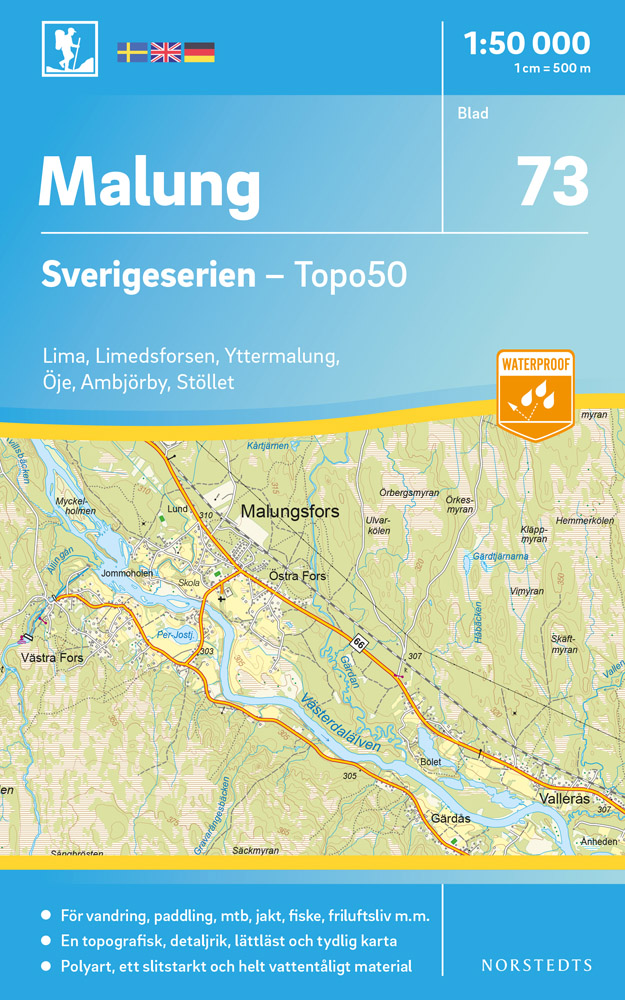
- Wandelkaart - Topografische kaart 73 Sverigeserien Malung | Norstedts
- Sverigeserien is an outdoor map series consisting of 116 sheets with coverage of southern and central Sweden and the northern coastline. The map is suitable for outdoor activities such as hiking, excursions, trail running, hunting, fishing, riding, cycling, mountain biking, paddling, skating and much more. Every sheet covers an area of... Read more