
Jura
Beschrijving

The Jura is the mountain range west and north of the Lake of Geneva, roughly situated between Mulhouse and Lyon, shared by France and Switzerland. The Jurassic period of our geoglogical timescale derives its name of this mountain range. The mountains are much older than the Alps. Large forests, long worn ridges, rich grounds: it is a very good area for hiking. The GR5 - E2 traverses the northern part of the Jura. GR9 - E4 lie in the southern part.
Kaart


Paden in deze regio
Links
Feiten
Verslagen
Gidsen en kaarten
Overnachting
Organisaties
Reisorganisaties
GPS
Anders
Boeken
De Zwerver
Netherlands
2021
Netherlands
2021
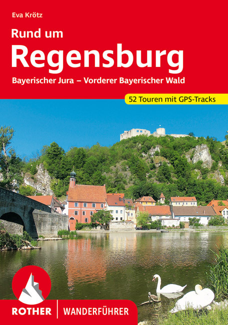
- Wandelgids Rund um Regensburg | Rother Bergverlag
- Uitstekende wandelgids met een groot aantal dagtochten in dal en hooggebergte. Met praktische informatie en beperkt kaartmateriaal! Wandelingen in verschillende zwaarte weergegeven in rood/blauw/zwart. Rund um das mittelalterliche Regensburg, das zum UNESCO-Welterbe zählt, laden abwechslungsreiche Naturlandschaften zu genussvollen Wanderungen... Read more

De Zwerver
Netherlands
2022
Netherlands
2022
De Zwerver
Netherlands
2013
Netherlands
2013
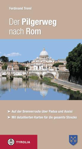
- Wandelgids - Pelgrimsroute Der Pilgerweg nach Rom | Tyrolia
- Auf der Brennerroute über Padua und Assisi. Abt-Albert-von Stade-Weg, Antoniusweg Cammino di Sant´Antonio, Franziskusweg Cammino di Assisi, Romweg Via di Roma. Mit detaillierten Karten für die gesamte Strecke. Read more
De Zwerver
Netherlands
2022
Netherlands
2022

De Zwerver
Netherlands
2021
Netherlands
2021


De Zwerver
Netherlands
2022
Netherlands
2022


De Zwerver
Netherlands
2023
Netherlands
2023

De Zwerver
Netherlands
2020
Netherlands
2020
De Zwerver
Netherlands
2021
Netherlands
2021
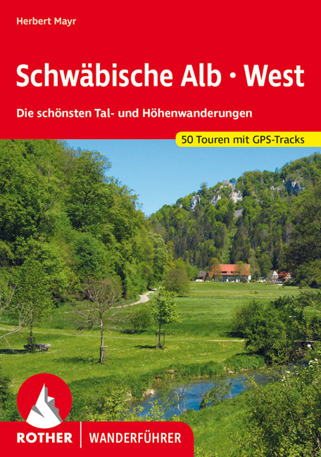
- Wandelgids Schwäbische Alb · West | Rother Bergverlag
- Uitstekende wandelgids met een groot aantal dagtochten in dal en hooggebergte. Met praktische informatie en beperkt kaartmateriaal! Wandelingen in verschillende zwaarte weergegeven in rood/blauw/zwart. Die Schwäbische Alb, dieses vielgestaltige Mittelgebirge nördlich des Donautals, zählt zu den beliebtesten Wanderregionen Deutschlands. Der... Read more
Kaarten

De Zwerver
Netherlands
2020
Netherlands
2020
- Wandelatlas - Pelgrimsroute (kaart) 161 Chemins de Compostelle GR65 | Michelin
- Véritable petit atlas détaillant chaque étape avec indications précises concernant les villes de départ et d'arrivée ainsi que pour les localités traversées (auberges, refuges, restaurants, pharmacies, gare, épiceries, Km parcourus, Km restants....).Ce petit atlas suit le chemin du... Read more

De Zwerver
Netherlands
2016
Netherlands
2016
- Wandelgids The Cretan Way E4 | Anavasi
- The Cretan Way is a 500km walking route which takes you from east to west across the varied and spectacular landscapes of Crete. It is the ideal way to discover the rural, mountainous and costal regions of this incredible island. This guide is based on a 28-day walk.This guide includes practical information, maps at a scale of 1:25.000 of... Read more
De Zwerver
Netherlands
Netherlands
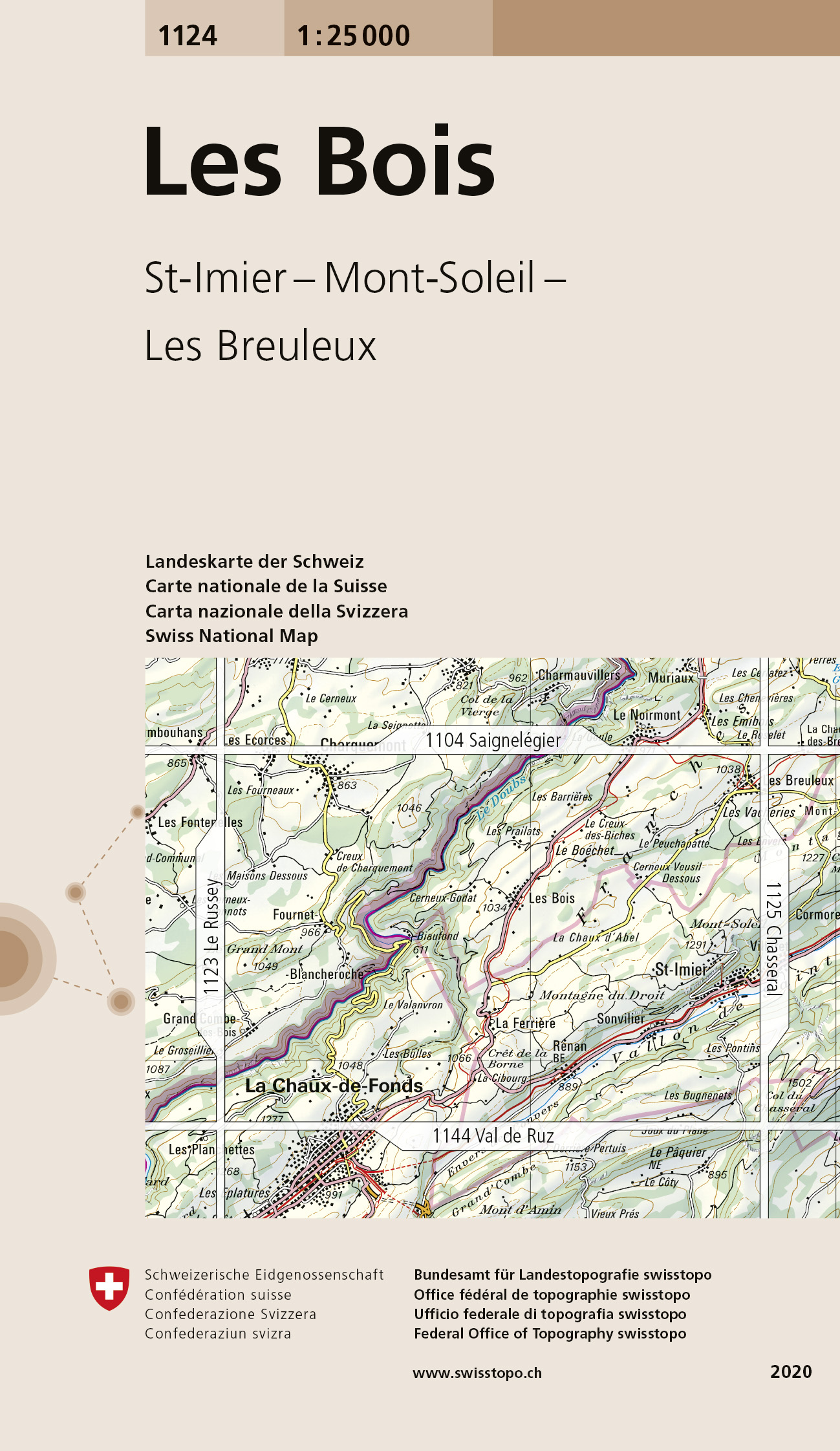
- Wandelkaart - Topografische kaart 1124 Les Bois | Swisstopo
- Map No. 1124, Les Bois, in the topographic survey of Switzerland at 1:25,000 from Bundesamt f Read more
De Zwerver
Netherlands
Netherlands
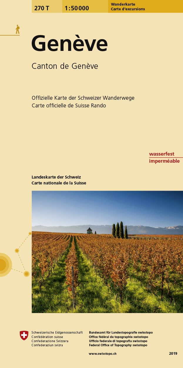
- Wandelkaart 270T Genève | Swisstopo
- Geneva area, map No. 270T, at 1:50,000 in a special hiking edition of the country Read more
De Zwerver
Netherlands
2024
Netherlands
2024
De Zwerver
Netherlands
Netherlands
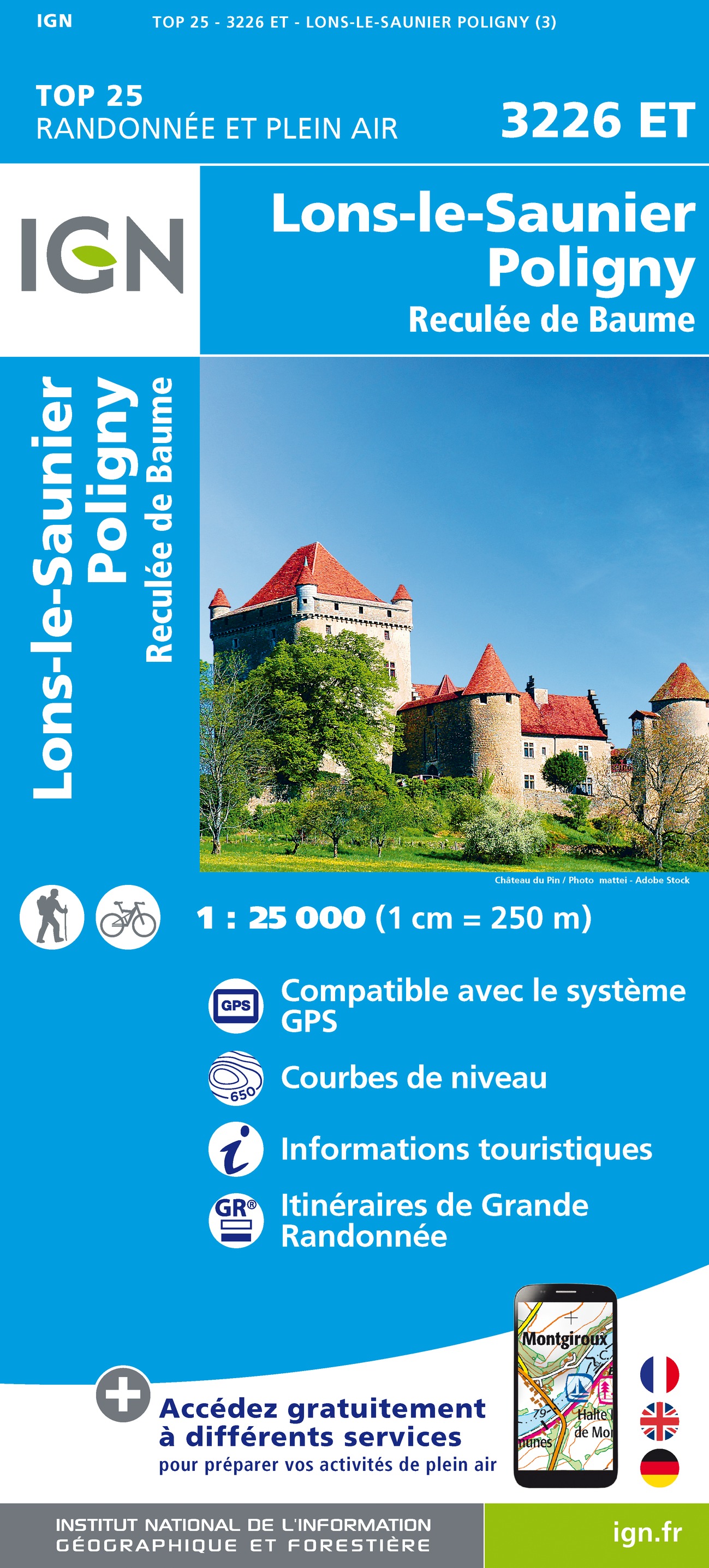
- Wandelkaart - Topografische kaart 3226ET Lons-le-Saunier - Poligny | IGN - Institut Géographique National
- Topographic survey of France at 1:25,000 in IGN`s excellent TOP25 / Série Bleue series. All the maps are GPS compatible, with a 1km UTM grid plus latitude and longitude lines at 5’ intervals. Contours are at 5m intervals except for mountainous areas where the maps have contours at 10m intervals, vividly enhanced by hill shading and graphics for... Read more
De Zwerver
Netherlands
Netherlands
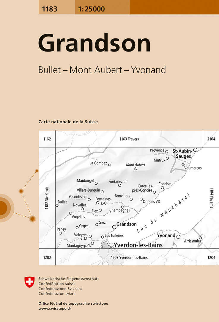
- Wandelkaart - Topografische kaart 1183 Grandson | Swisstopo
- Map No. 1183, Grandson, in the topographic survey of Switzerland at 1:25,000 from Bundesamt f Read more

De Zwerver
Netherlands
Netherlands
- Wandelkaart 04 Massiccio del Monte Bianco | IGC - Istituto Geografico Centrale
- The Mont Blanc Massif in a series contoured hiking maps at 1:50,000 with local trails, long-distance footpaths, mountain accommodation, etc, from the Turin based Istituto Geografico Centrale. This new edition published in late 2013 highlights, among other routes, the Alta Via 1 and the northern section of the Alta Via 2, both of which join up... Read more
De Zwerver
Netherlands
Netherlands
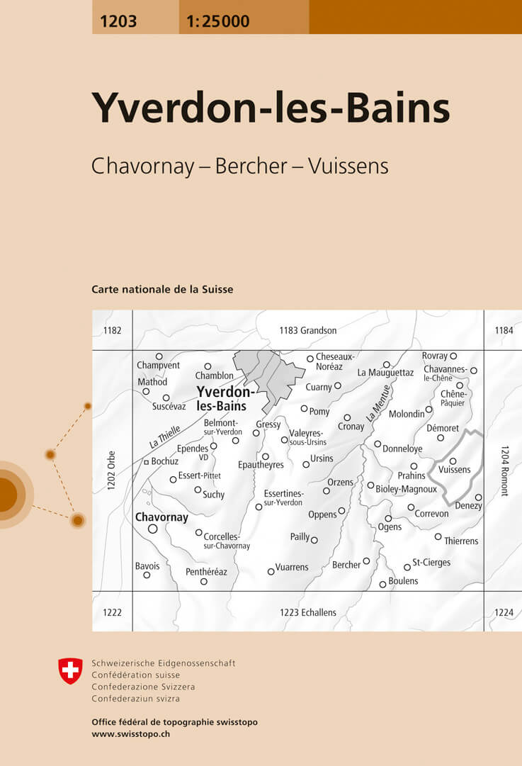
- Wandelkaart - Topografische kaart 1203 Yverdon | Swisstopo
- Map No. 1203, Yverdon-les-Bains, in the topographic survey of Switzerland at 1:25,000 from Bundesamt f Read more

De Zwerver
Netherlands
Netherlands
- Wandelkaart 6.11 Mt. Olympus | Anavasi
- Mt Olympus in a series of waterproof and tear-resistant hiking maps at scales varying from 1:50,000 to 1:10,000, with a UTM grid for GPS users. Contour interval varies depending on the scale, on most maps it is 20m. Relief shading, spot heights, springs, seasonal streams and, in most titles, landscape/land-use variations, e.g. forests,... Read more
De Zwerver
Netherlands
Netherlands
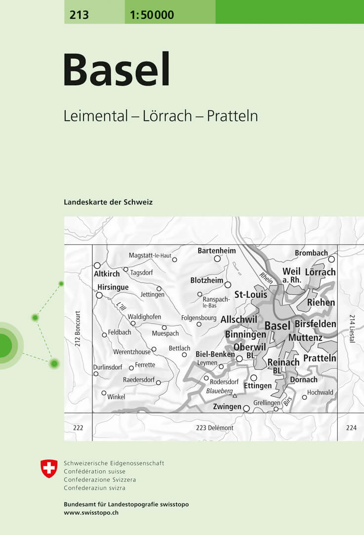
- Wandelkaart - Topografische kaart 213 Basel | Swisstopo
- Basel, map No. 213, in the standard topographic survey of Switzerland at 1:50,000 from Swisstopo, i.e. without the special overprint highlighting walking trails, local bus stops, etc, presented in Swisstopo Read more

De Zwerver
Netherlands
Netherlands
- Wandelkaart Strandzha - Bulgarije | Domino
- Strandzha Mountains in the south-eastern corner of Bulgaria between Burgas to the Turkish border on a contoured and GPS compatible map from Domino showing local hiking trails and highlighting various interesting sites, with three more detailed enlargements at 1:25,000. Most place names are in both Latin and Cyrillic alphabet; map legend... Read more
De Zwerver
Netherlands
Netherlands
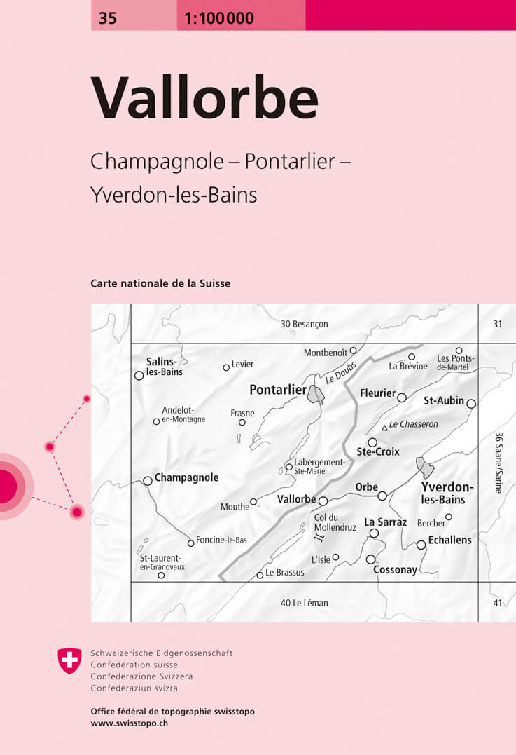
- Fietskaart - Topografische kaart - Wegenkaart - landkaart 35 Vallorbe | Swisstopo
- Map No. 35, Vallorbe, in the Swiss topographic survey at 1:100,000 published in 23 standard sheets (Nos. 26 - 48), with special larger maps centred on popular tourist destinations (Nos. 101 - 111). Swiss survey maps are highly regarded for their superb use of graphic relief and hill shading, presenting an almost 3-D picture of the country's... Read more
De Zwerver
Netherlands
Netherlands
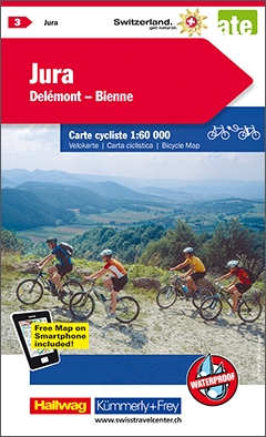
- Fietskaart 03 Jura, Delemont - Bienne | Kümmerly & Frey
- Jura Delémont - Bienne mit Ortsindex (3) ab 28.8 EURO Mit Ortindex Kümmerly und Frey Schweiz Radkarte Kümmerly & Frey Karte Read more