
Glen Coe
Beschrijving
Legendary valley in Scotland. Here, in 1692, the Massacre of Glencoe took place. History is adding to the popularity of Glen Coe. The other is the spectacular views from the valley grounds onto the mountains, U-shaped in the last ice age. The place is frequented by tourists. It's a very good spot for rock climbing too. Hikers on the West Highland Way can take a short side trip to visit Glen Coe.
Links
Feiten
Verslagen
Gidsen en kaarten
Overnachting
Organisaties
Reisorganisaties
GPS
Anders
Boeken
De Zwerver
Netherlands
2022
Netherlands
2022
- Also available from:
- Stanfords, United Kingdom

Stanfords
United Kingdom
2016
United Kingdom
2016
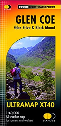
- Glen Coe - Glen Etive & Black Mount Harvey Ultramap XT40
- Glen Coe area of the Scottish Highlands, including Glen Etive and Black Mount, at 1:40,000 on a waterproof and tear-resistant, pocket-size Ultramap from Harvey Map Services with the same cartography as their Superwalker map of this area. The map is double-sided, with an overlap between the sides, and extends from Loch Leven, Kinlochmore and the... Read more
De Zwerver
Netherlands
2015
Netherlands
2015
- Also available from:
- Stanfords, United Kingdom

Stanfords
United Kingdom
2015
United Kingdom
2015
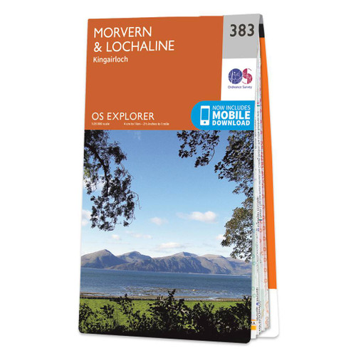
- Morvern & Lochaline - Kingairloch OS Explorer Map 383 (paper)
- Morvern, Lochaline and Kingairloch area on a detailed topographic and GPS compatible map No. 383, paper version, from the Ordnance Survey’s 1:25,000 Explorer series. MOBILE DOWNLOADS: this title and all the other OS Explorer maps include a code for downloading after purchase the digital version onto your smartphone or tablet for viewing on the... Read more
- Also available from:
- Stanfords, United Kingdom

Stanfords
United Kingdom
2016
United Kingdom
2016
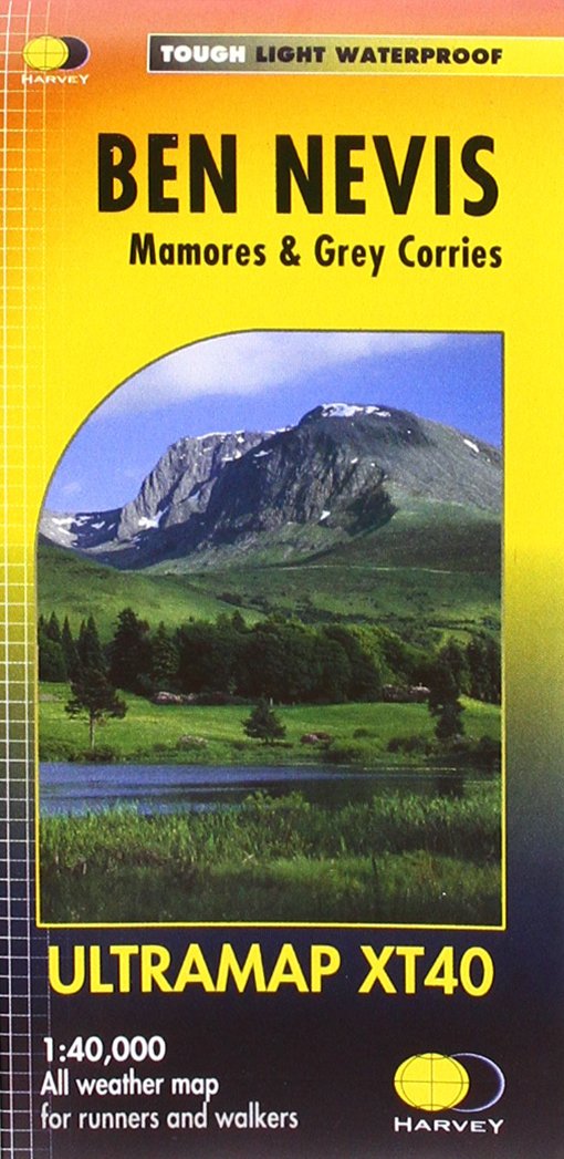
- Ben Nevis - Mamores & Grey Corries Harvey Ultramap XT40
- Ben Nevis with the Mamores and Grey Corries ranges at 1:40,000 on a waterproof and tear-resistant, pocket-size Ultramap from Harvey Map Services with the same cartography as their Superwalker map of this area. The peak of Ben Nevis is also shown in greater detail at 1:20,000. The map divides the area north/south, with a good overlap between the... Read more
Bol.com
Netherlands
Netherlands
- Rick Steves Scotland (Second Edition)
- Whether you take the high road or the low road, with Rick Steves on your side, Scotland can be yours!Inside Rick Steves Scotland you'll find:Comprehensive coverage for spending a week or more exploring ScotlandRick's strategic advice on how to get the most out of your time and money, with rankings of his must-see favoritesTop sights and hidden... Read more
- Also available from:
- Bol.com, Belgium
Bol.com
Belgium
Belgium
- Rick Steves Scotland (Second Edition)
- Whether you take the high road or the low road, with Rick Steves on your side, Scotland can be yours!Inside Rick Steves Scotland you'll find:Comprehensive coverage for spending a week or more exploring ScotlandRick's strategic advice on how to get the most out of your time and money, with rankings of his must-see favoritesTop sights and hidden... Read more
Bol.com
Netherlands
Netherlands
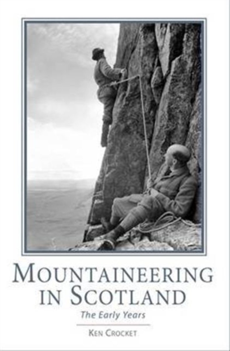
- Mountaineering in Scotland
- From Ken Crocket, author of Ben Nevis - Britain's Highest Mountain, comes the full story of the dawning of mountaineering in Scotland. It will shock many to discover that within a few years, Victorian climbers brought climbing in Scotland to technical levels not surpassed until the 1940s. The book breaks new ground as the comprehensive record... Read more
- Also available from:
- Bol.com, Belgium
Bol.com
Belgium
Belgium
- Mountaineering in Scotland
- From Ken Crocket, author of Ben Nevis - Britain's Highest Mountain, comes the full story of the dawning of mountaineering in Scotland. It will shock many to discover that within a few years, Victorian climbers brought climbing in Scotland to technical levels not surpassed until the 1940s. The book breaks new ground as the comprehensive record... Read more
Bol.com
Netherlands
2015
Netherlands
2015
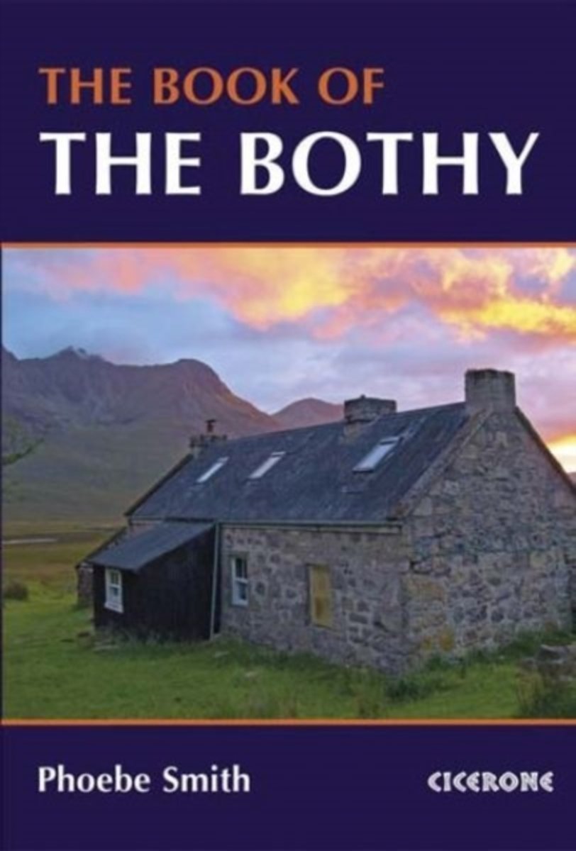
- The Book of the Bothy
- An introduction to some of the best bothies in the UK. Featuring 26 selected bothies, the author shares her memories of using these free 'stone tents' in some of the country's wildest and most remote locations. Alongside notes on legends and landscape, wildlife and history, the book is full of expert guidance and tips on how to make use of... Read more
- Also available from:
- Bol.com, Belgium
- The Book Depository, United Kingdom
Bol.com
Belgium
2015
Belgium
2015
- The Book of the Bothy
- An introduction to some of the best bothies in the UK. Featuring 26 selected bothies, the author shares her memories of using these free 'stone tents' in some of the country's wildest and most remote locations. Alongside notes on legends and landscape, wildlife and history, the book is full of expert guidance and tips on how to make use of... Read more

The Book Depository
United Kingdom
2015
United Kingdom
2015
- The Book of the Bothy
- A celebration of 26 of the author's favourite bothies, as she shares her memories of her favourite 'stone tents' all over the UK in remote and wild locations. Packed with expert advice on how to make use of these 'free, old, empty houses' from packing lists to bothy etiquette and the best walks into these remote locations. Read more
De Zwerver
Netherlands
2021
Netherlands
2021
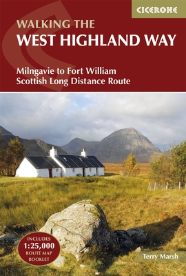
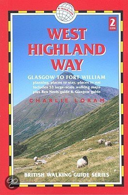
- Wandelgids West Highland Way | Cicerone
- Guidebook to walking the West Highland Way National Trail, a 95-mile Scottish long-distance route from Milngavie near Glasgow to Fort William, passing Loch Lomond and crossing Rannoch Moor. Suggested itineraries over 6 to 9 days. Includes accommodation guide and pull-out 1:25K OS map booklet. Read more
- Also available from:
- Bol.com, Netherlands
- Bol.com, Belgium
- The Book Depository, United Kingdom
Bol.com
Netherlands
2016
Netherlands
2016
- The West Highland Way
- A guidebook to Scotland's West Highland Way, a 95-mile walk from Milngavie near Glasgow to Fort William, passing Loch Lomond, crossing Rannoch Moor and finishing in the shadow of Britain's highest mountain. The walk, which takes roughly one week to complete, is described in seven stages, with each stage ranging from 8 to 20 miles. The guide... Read more
Bol.com
Belgium
2016
Belgium
2016
- The West Highland Way
- A guidebook to Scotland's West Highland Way, a 95-mile walk from Milngavie near Glasgow to Fort William, passing Loch Lomond, crossing Rannoch Moor and finishing in the shadow of Britain's highest mountain. The walk, which takes roughly one week to complete, is described in seven stages, with each stage ranging from 8 to 20 miles. The guide... Read more

The Book Depository
United Kingdom
2016
United Kingdom
2016
- The West Highland Way
- Milngavie to Fort William Scottish Long Distance Route Read more
Bol.com
Netherlands
Netherlands
- West Highland Way
- Fully revised second edition of the first of Trailblazer's 10-title series of British Walking Guides. The West Highland Way is the most popular long-distance path in the country, passing through some of the most spectacular scenery in all of Britain. From the outskirts of Glasgow it winds for 95 miles along the wooded banks of Loch Lomond,... Read more
- Also available from:
- Bol.com, Belgium
Bol.com
Belgium
Belgium
- West Highland Way
- Fully revised second edition of the first of Trailblazer's 10-title series of British Walking Guides. The West Highland Way is the most popular long-distance path in the country, passing through some of the most spectacular scenery in all of Britain. From the outskirts of Glasgow it winds for 95 miles along the wooded banks of Loch Lomond,... Read more
Bol.com
Netherlands
Netherlands
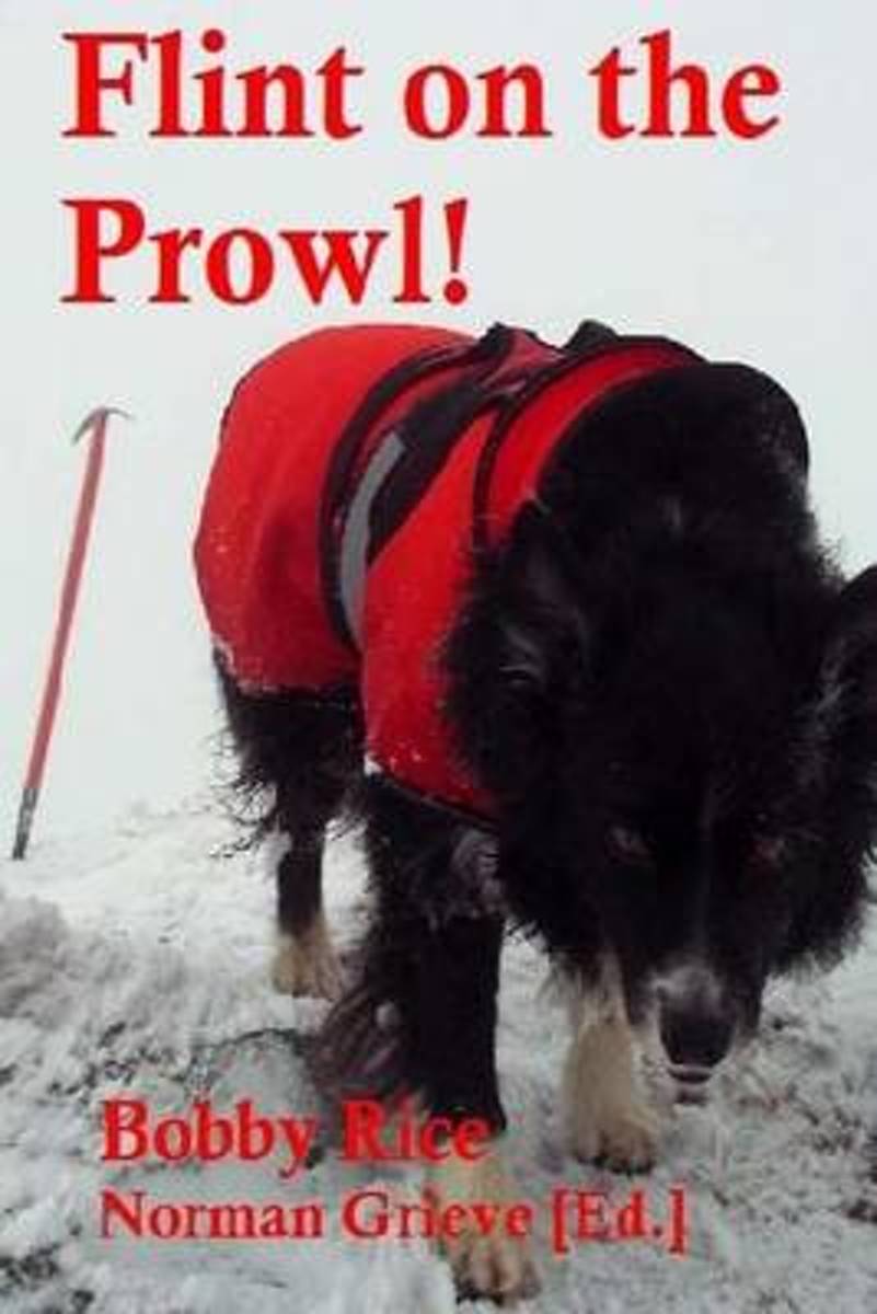
- Flint on the Prowl!
- p. 6 Mamores. p. 8 Glen Etive: Stob Coir an Albannaich & Meall nan Eun. p. 11 East of Loch Treig: Stob Coire Sgriodain & Chno Dearg. p. 15 Monadhliath tales: A'Chailleach, Carn Sgulain & Dearg. p. 19 Against the odds: a really nice day on Beinn Bhreac. p. 22 Beinn Luibhean. p. 24 Loch Cluanie to Glen Affric. p. 26 Cold night, beautiful day:... Read more
- Also available from:
- Bol.com, Belgium
Bol.com
Belgium
Belgium
- Flint on the Prowl!
- p. 6 Mamores. p. 8 Glen Etive: Stob Coir an Albannaich & Meall nan Eun. p. 11 East of Loch Treig: Stob Coire Sgriodain & Chno Dearg. p. 15 Monadhliath tales: A'Chailleach, Carn Sgulain & Dearg. p. 19 Against the odds: a really nice day on Beinn Bhreac. p. 22 Beinn Luibhean. p. 24 Loch Cluanie to Glen Affric. p. 26 Cold night, beautiful day:... Read more
Bol.com
Netherlands
2016
Netherlands
2016
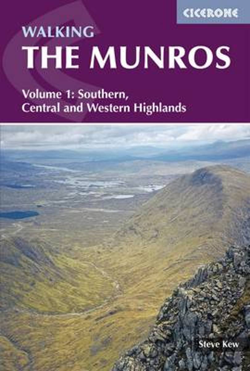
- Walking the Munros Vol 1 - Southern, Central and Western Highlands
- This guidebook presents 70 challenging and inspiring routes to climb 143 Munro mountains. Part of a two-part set, this second volume covers the northern Highlands (north of the Great Glen), the Cairngorms and Isle of Skye. Covering popular and lesser-known routes, it is ideal both for Munro-baggers and those who simply love great mountain... Read more
- Also available from:
- Bol.com, Belgium
Bol.com
Belgium
2016
Belgium
2016
- Walking the Munros Vol 1 - Southern, Central and Western Highlands
- This guidebook presents 70 challenging and inspiring routes to climb 143 Munro mountains. Part of a two-part set, this second volume covers the northern Highlands (north of the Great Glen), the Cairngorms and Isle of Skye. Covering popular and lesser-known routes, it is ideal both for Munro-baggers and those who simply love great mountain... Read more
Bol.com
Netherlands
Netherlands
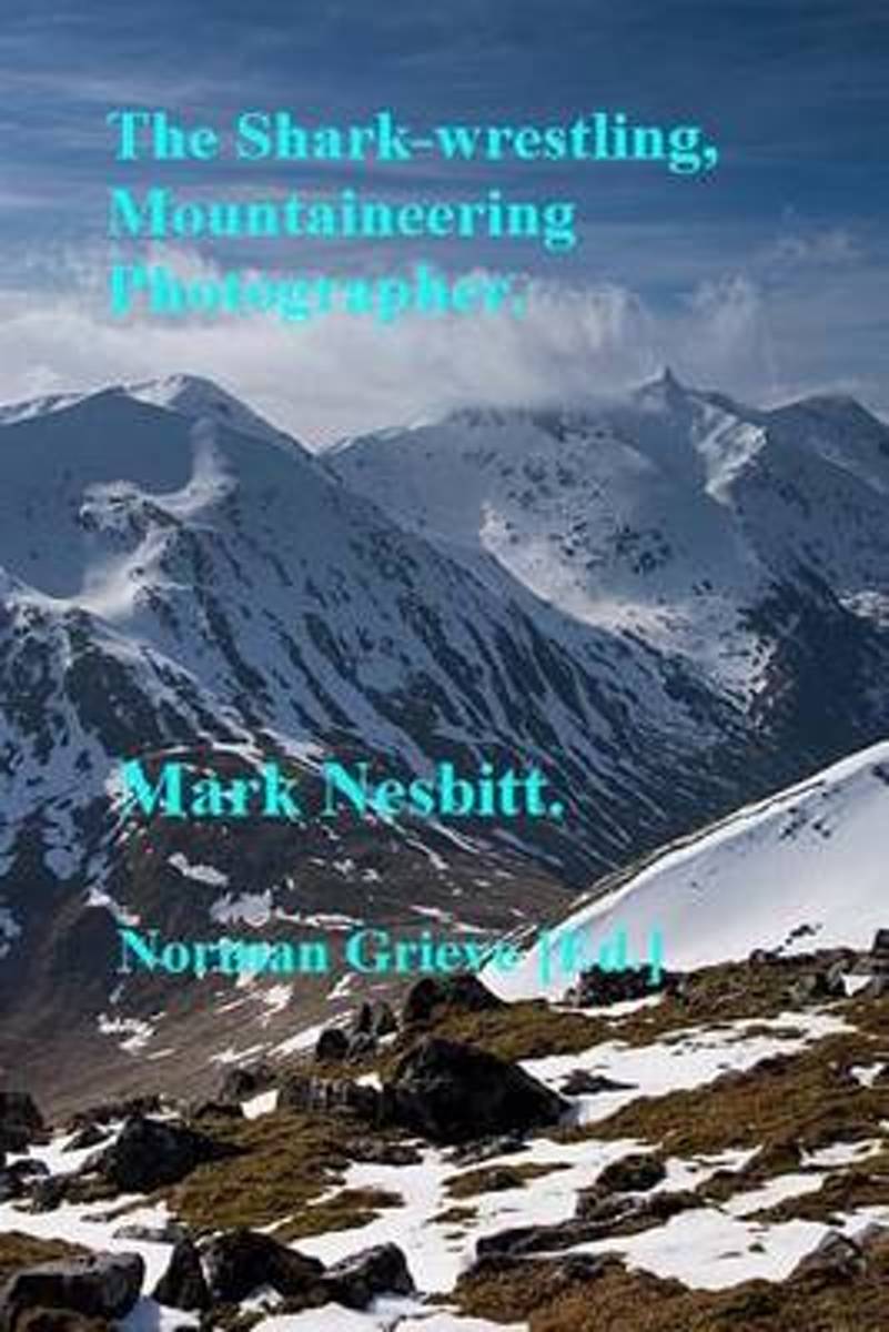
- The Shark Wrestling Mountaineering Photographer...
- P.3 Half a walk. P.12 Buachaille Etive Mor. P.24 Meall na Fearna, Malky Style. P.29 Buachaille Etive Beag. P.34 First Fail of the Year - Ben Starav etc. P.43 Glen Affric (1x3) +4 -1 = 4. P.57 An Caisteal, Beinn a'Chroin - Bog, Snow, Bog. P.71 Devils Point, Cairn Toul, Sgor an Lochain Uaine, Braeriach. P.82 White Mounth Munros - Fail. Lochnagar... Read more
- Also available from:
- Bol.com, Belgium
Bol.com
Belgium
Belgium
- The Shark Wrestling Mountaineering Photographer...
- P.3 Half a walk. P.12 Buachaille Etive Mor. P.24 Meall na Fearna, Malky Style. P.29 Buachaille Etive Beag. P.34 First Fail of the Year - Ben Starav etc. P.43 Glen Affric (1x3) +4 -1 = 4. P.57 An Caisteal, Beinn a'Chroin - Bog, Snow, Bog. P.71 Devils Point, Cairn Toul, Sgor an Lochain Uaine, Braeriach. P.82 White Mounth Munros - Fail. Lochnagar... Read more
Bol.com
Netherlands
2013
Netherlands
2013
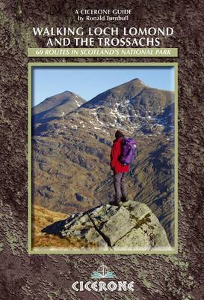
- Walking Loch Lomond and the Trossachs
- Guidebook to 73 walking routes in the hills of Loch Lomond and the Trossachs National Park in Scotland's Southern Highlands. Including 21 Munros on less-popular routes, as well plenty of Corbetts and Grahams. Hill summits of Ben Lomond, the Cobbler, Ben Lui and the Arrochar Alps have plenty of routes to explore. The routes in this guide range... Read more
- Also available from:
- Bol.com, Belgium
Bol.com
Belgium
2013
Belgium
2013
- Walking Loch Lomond and the Trossachs
- Guidebook to 73 walking routes in the hills of Loch Lomond and the Trossachs National Park in Scotland's Southern Highlands. Including 21 Munros on less-popular routes, as well plenty of Corbetts and Grahams. Hill summits of Ben Lomond, the Cobbler, Ben Lui and the Arrochar Alps have plenty of routes to explore. The routes in this guide range... Read more
De Zwerver
Netherlands
2017
Netherlands
2017
- Also available from:
- Bol.com, Netherlands
- Bol.com, Belgium
- Stanfords, United Kingdom
- The Book Depository, United Kingdom

Bol.com
Netherlands
2017
Netherlands
2017
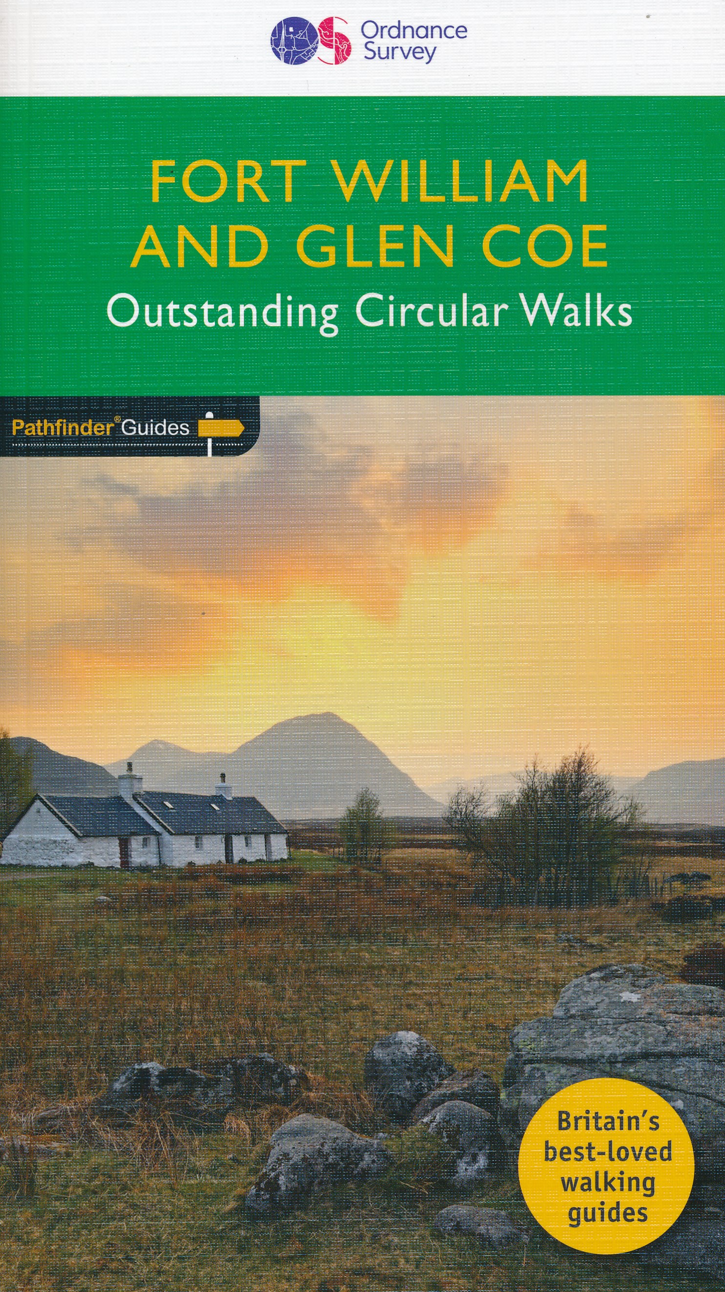
- Fort William & Glen Coe
- Fort William and Glen Coe encompass one of the greatest areas of sea and mountain landscape in Scotland, backed by some of the biggest and most demanding peaks. This is Scotland's fjord land, a drowned coastland with long sea arms wending far inland, and the walks range from Fort William at sea level to Ben Nevis, the highest summit in Britain.... Read more
Bol.com
Belgium
2017
Belgium
2017
- Fort William & Glen Coe
- Fort William and Glen Coe encompass one of the greatest areas of sea and mountain landscape in Scotland, backed by some of the biggest and most demanding peaks. This is Scotland's fjord land, a drowned coastland with long sea arms wending far inland, and the walks range from Fort William at sea level to Ben Nevis, the highest summit in Britain.... Read more

Stanfords
United Kingdom
2017
United Kingdom
2017
- Fort William and Glen Coe
- Fort William and Glen Coe encompass one of the greatest areas of sea and mountain landscape in Scotland, backed by some of the biggest and most demanding peaks. This is Scotland`s fjord land, a drowned coastland with long sea arms wending far inland, and the walks range from Fort William at sea level to Ben Nevis, the highest summit in Britain.... Read more

Bol.com
Netherlands
Netherlands
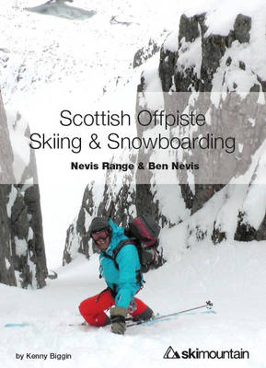
- Scottish Offpiste Skiing & Snowboarding
- The second in the Scottish Offpiste guidebook series, this colourful book focuses on the incredible mountains of Glencoe centred around the historic White Corries ski area. 93 routes, 230 pages, 210 full colour photos and diagrams - plus a completely new section on avalanche and mountain safety and decision making.This offpiste skiing and... Read more
- Also available from:
- Bol.com, Belgium
Bol.com
Belgium
Belgium
- Scottish Offpiste Skiing & Snowboarding
- The second in the Scottish Offpiste guidebook series, this colourful book focuses on the incredible mountains of Glencoe centred around the historic White Corries ski area. 93 routes, 230 pages, 210 full colour photos and diagrams - plus a completely new section on avalanche and mountain safety and decision making.This offpiste skiing and... Read more
Kaarten

De Zwerver
Netherlands
2022
Netherlands
2022
- Wandelkaart Ben Nevis | Harvey Maps
- Ben Nevis with the Mamores and Grey Corries ranges at 1:25,000 on a double-sided, waterproof and tear-resistant map from Harvey Map Services with the peak area shown in greater detail at 1:12,500. The map divides the area north/south, with a good overlap between the sides, extending from Fort William past Loch Treig to Chno Deang, plus south to... Read more
- Also available from:
- Stanfords, United Kingdom

Stanfords
United Kingdom
2022
United Kingdom
2022
- Ben Nevis - Mamores & Grey Corries Harvey Superwalker XT25
- Ben Nevis with the Mamores and Grey Corries ranges at 1:25,000 on a double-sided, waterproof and tear-resistant map from Harvey Map Services in their Superwalker series, with the peak area also shown in greater detail at 1:12,500. The map divides the area north/south, with a good overlap between the sides, extending from Fort William past Loch... Read more

Stanfords
United Kingdom
United Kingdom
- Glen Coe - Glen Etive & Black Mount Harvey Superwalker XT25
- Glen Coe area of the Scottish Highlands, including Glen Etive and Black Mount, at 1:25,000 on a light, waterproof and tear-resistant map from Harvey Map Services in their Superwalker series. The map is double-sided, with an overlap between the sides, and extends from Loch leven, Kinlochmore and the Blackwater Reservoir southwards to Loch Etive... Read more

De Zwerver
Netherlands
2018
Netherlands
2018
- Wandelkaart Ben Nevis & Glen Coe | Harvey Maps
- Waterproof mountain map of Ben Nevis & Glen Coe from Harvey at 1:40,000, with a geological map of the region on the reverse, an enlargement of Ben Nevis' summit, and advice on navigating the region safely.MAIN MAP: Topography is shown through clear altitude shading, spot heights, contours at 15m intervals, and index contours at 75m intervals. A... Read more
- Also available from:
- Stanfords, United Kingdom
- The Book Depository, United Kingdom

Stanfords
United Kingdom
2018
United Kingdom
2018
- Ben Nevis & Glen Coe Harvey British Mountain Map XT40
- Waterproof mountain map of Ben Nevis & Glen Coe from Harvey at 1:40,000, with a geological map of the region on the reverse, an enlargement of Ben Nevis` summit, and advice on navigating the region safely.*MAIN MAP:* Topography is shown through clear altitude shading, spot heights, contours at 15m intervals, and index contours at 75m intervals.... Read more

The Book Depository
United Kingdom
2018
United Kingdom
2018
- Ben Nevis and Glen Coe
- Waterproof mountain map of Ben Nevis & Glen Coe from Harvey at 1:40,000, with a geological map of the region on the reverse, an enlargement of Ben Nevis' summit, and advice on navigating the region safely.MAIN MAP: Topography is shown through clear altitude shading, spot heights, contours at 15m intervals, and index contours at 75m intervals. A... Read more