
Connecticut
Beschrijving
Connecticut, in the northeast, belongs to the New England region.
The state has attractive forest and woodland, but is also populated.
The Appalachian Trail crosses Connecticut. Other projects include the New England Trail (220 miles), the Eastern Continental Trail (5400 miles), the Metacomet Trail (117 miles) and the 150 mile Highlands Trail (under construction).
Kaart

Paden in deze landsdeel
Links
Feiten
Verslagen
Gidsen en kaarten
Overnachting
Organisaties
Reisorganisaties
GPS
Anders
Boeken

De Zwerver
Netherlands
2018
Netherlands
2018
- Wandelgids USA: Appalachian Trail | Conrad Stein Verlag
- Handzame overzichtsgids van deze geweldige en uitdagende lange afstands wandeling in het oosten van de USA: de Appalachian Trail. Het is een ideale gids om de hele tocht voor te bereiden en als basisgids bij je te hebben. Goede beschrijvingen van etappes en veel praktische informatie. Het enige wat mager is zijn dekaarten: goed voor overzicht... Read more

De Zwerver
Netherlands
Netherlands


De Zwerver
Netherlands
2021
Netherlands
2021

De Zwerver
Netherlands
2022
Netherlands
2022
- Reisgids New England | Rough Guides
- Practical travel guide to New England with a free eBook featuring points-of-interest structured lists of all sights and off-the-beaten-track treasures, with detailed colour-coded maps, practical details about what to see and to do in New England, how to get there and around, pre-departure information, as well as top time-saving tips, like a... Read more
- Also available from:
- Stanfords, United Kingdom

Stanfords
United Kingdom
2022
United Kingdom
2022
- The Rough Guide to New England (Compact Guide with Free eBook)
- Practical travel guide to New England with a free eBook featuring points-of-interest structured lists of all sights and off-the-beaten-track treasures, with detailed colour-coded maps, practical details about what to see and to do in New England, how to get there and around, pre-departure information, as well as top time-saving tips, like a... Read more

Bol.com
Netherlands
Netherlands
- Lost Souls
- In 2009, we started sharing stories about the joy adopted dogs bring to their new families with a little book full of short stories entitled Lost Souls: FOUND! Inspirational Stories of Adopted Boston Terriers. That book showcased the stories of 50+ fostered/adopted Boston Terriers, sold more than 2,000 copies, raised thousands of dollars for... Read more
- Also available from:
- Bol.com, Belgium
Bol.com
Belgium
Belgium
- Lost Souls
- In 2009, we started sharing stories about the joy adopted dogs bring to their new families with a little book full of short stories entitled Lost Souls: FOUND! Inspirational Stories of Adopted Boston Terriers. That book showcased the stories of 50+ fostered/adopted Boston Terriers, sold more than 2,000 copies, raised thousands of dollars for... Read more
Bol.com
Netherlands
Netherlands
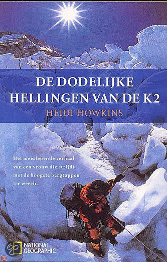
- De Dodelijke Hellingen Van De K2
- Voor bergbeklimmers is de K2 de ultieme uitdaging. De Mount Everest is hoger, maar de K2 is steiler, lastiger en dodelijker. Slechts 183 mannen en 5 vrouwen hebben de gevreesde top van de K2 bereikt sinds hij in 1954 ontdekt is, en van hen zijn er tenminste 21 nooit teruggekomen...Bij haar eerste poging in 1998 was Heidi Howkins een van de... Read more
- Also available from:
- Bol.com, Belgium
Bol.com
Belgium
Belgium
- De Dodelijke Hellingen Van De K2
- Voor bergbeklimmers is de K2 de ultieme uitdaging. De Mount Everest is hoger, maar de K2 is steiler, lastiger en dodelijker. Slechts 183 mannen en 5 vrouwen hebben de gevreesde top van de K2 bereikt sinds hij in 1954 ontdekt is, en van hen zijn er tenminste 21 nooit teruggekomen...Bij haar eerste poging in 1998 was Heidi Howkins een van de... Read more
Bol.com
Netherlands
Netherlands
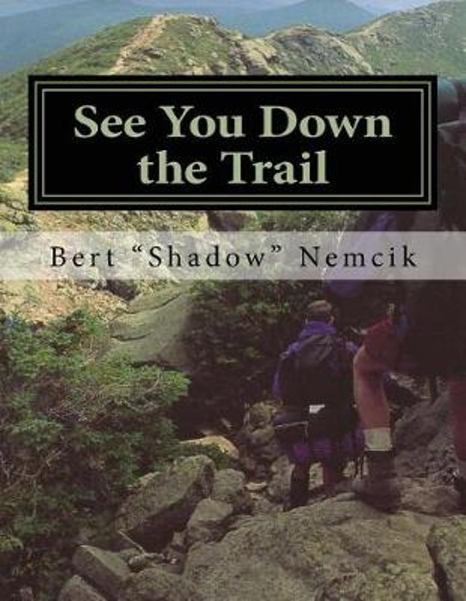
- See You Down the Trail
- In 1995, I rode my bicycle across America from Oregon to New Jersey. It took me 31 days and I traveled more than 3,250 miles. When I returned home, many friends and neighbors asked me if I were going to write about my adventure. For a few years, I resisted doing so until I felt the experience was far enough removed from the present to be... Read more
- Also available from:
- Bol.com, Belgium
Bol.com
Belgium
Belgium
- See You Down the Trail
- In 1995, I rode my bicycle across America from Oregon to New Jersey. It took me 31 days and I traveled more than 3,250 miles. When I returned home, many friends and neighbors asked me if I were going to write about my adventure. For a few years, I resisted doing so until I felt the experience was far enough removed from the present to be... Read more
Bol.com
Netherlands
Netherlands
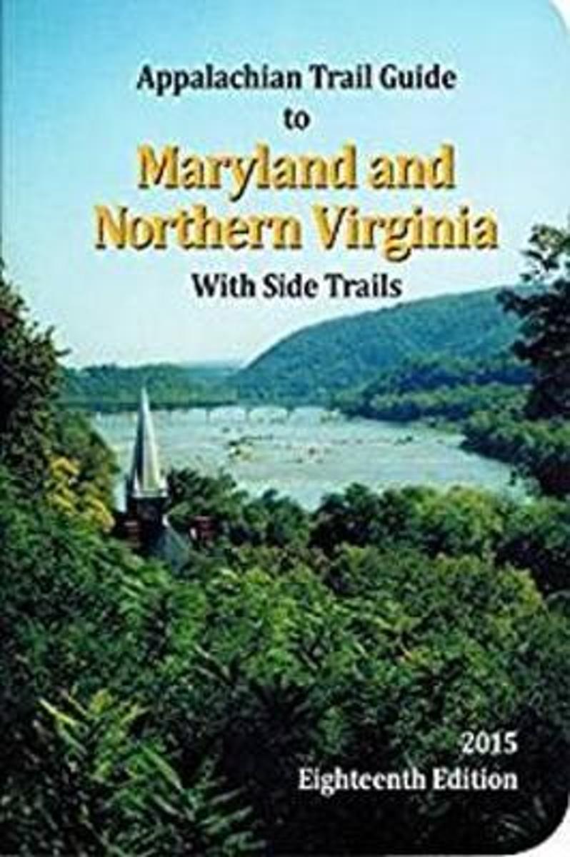
- Appalachian Trail Guide to Maryland-Northern Virginia
- The official guide to 95 miles of the Appalachian Trail from the Pennsylvania line, south through the center of Maryland, briefly into West Virginia through Harpers Ferry National Historical Park, and down along the West Virginia-Virginia line to the entrance to Shenandoah National Park. The book includes trail-route descriptions in a... Read more
- Also available from:
- Bol.com, Belgium
Bol.com
Belgium
Belgium
- Appalachian Trail Guide to Maryland-Northern Virginia
- The official guide to 95 miles of the Appalachian Trail from the Pennsylvania line, south through the center of Maryland, briefly into West Virginia through Harpers Ferry National Historical Park, and down along the West Virginia-Virginia line to the entrance to Shenandoah National Park. The book includes trail-route descriptions in a... Read more

Bol.com
Netherlands
Netherlands
- My Appalachian Trial I
- Steve Adams, a retired, overweight, 61-year-old Brit, who had never hiked in his life, decided one day that he wanted an adventure. Not willing to settle for just any old adventure, he decided to hike the entire length of Americas Appalachian Trail, a beguiling attraction for many hikers, both home-grown and from all corners of the globe.... Read more
- Also available from:
- Bol.com, Belgium
- The Book Depository, United Kingdom
Bol.com
Belgium
Belgium
- My Appalachian Trial I
- Steve Adams, a retired, overweight, 61-year-old Brit, who had never hiked in his life, decided one day that he wanted an adventure. Not willing to settle for just any old adventure, he decided to hike the entire length of Americas Appalachian Trail, a beguiling attraction for many hikers, both home-grown and from all corners of the globe.... Read more

Bol.com
Netherlands
Netherlands
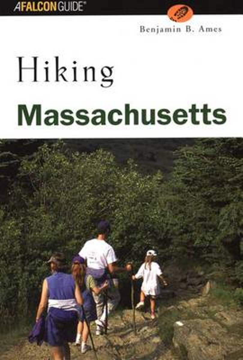
- Hiking Massachusetts
- Lace up your boots and sample 50 of the finest trails Massachusetts has to offer. This hiker's paradise offers not only mountaintop vistas but also historic landmarks and pristine seashore. Hike along cranberry bogs in Massasoit State Park, trace the edge of a cliff overlooking the Merrimack River in Maudslay State Park, follow the Appalachian... Read more
- Also available from:
- Bol.com, Belgium
Bol.com
Belgium
Belgium
- Hiking Massachusetts
- Lace up your boots and sample 50 of the finest trails Massachusetts has to offer. This hiker's paradise offers not only mountaintop vistas but also historic landmarks and pristine seashore. Hike along cranberry bogs in Massasoit State Park, trace the edge of a cliff overlooking the Merrimack River in Maudslay State Park, follow the Appalachian... Read more
Bol.com
Netherlands
Netherlands
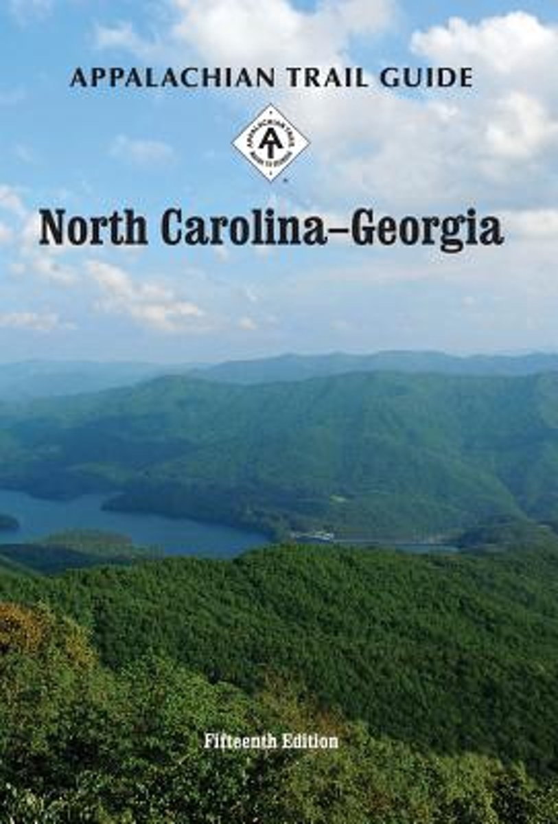
- Appalachian Trail Guide to North Carolina-Georgia
- The official guide to the 238 miles of the Appalachian Trail from its southern terminus on Springer Mountain in Georgia (about an hour north of Atlanta) to the eastern boundary of Great Smoky Mountains National Park on the North Carolina-Tennessee border. This guidebook comes with four five-color topographic maps printed on two sheets of... Read more
- Also available from:
- Bol.com, Belgium
Bol.com
Belgium
Belgium
- Appalachian Trail Guide to North Carolina-Georgia
- The official guide to the 238 miles of the Appalachian Trail from its southern terminus on Springer Mountain in Georgia (about an hour north of Atlanta) to the eastern boundary of Great Smoky Mountains National Park on the North Carolina-Tennessee border. This guidebook comes with four five-color topographic maps printed on two sheets of... Read more
Bol.com
Netherlands
Netherlands
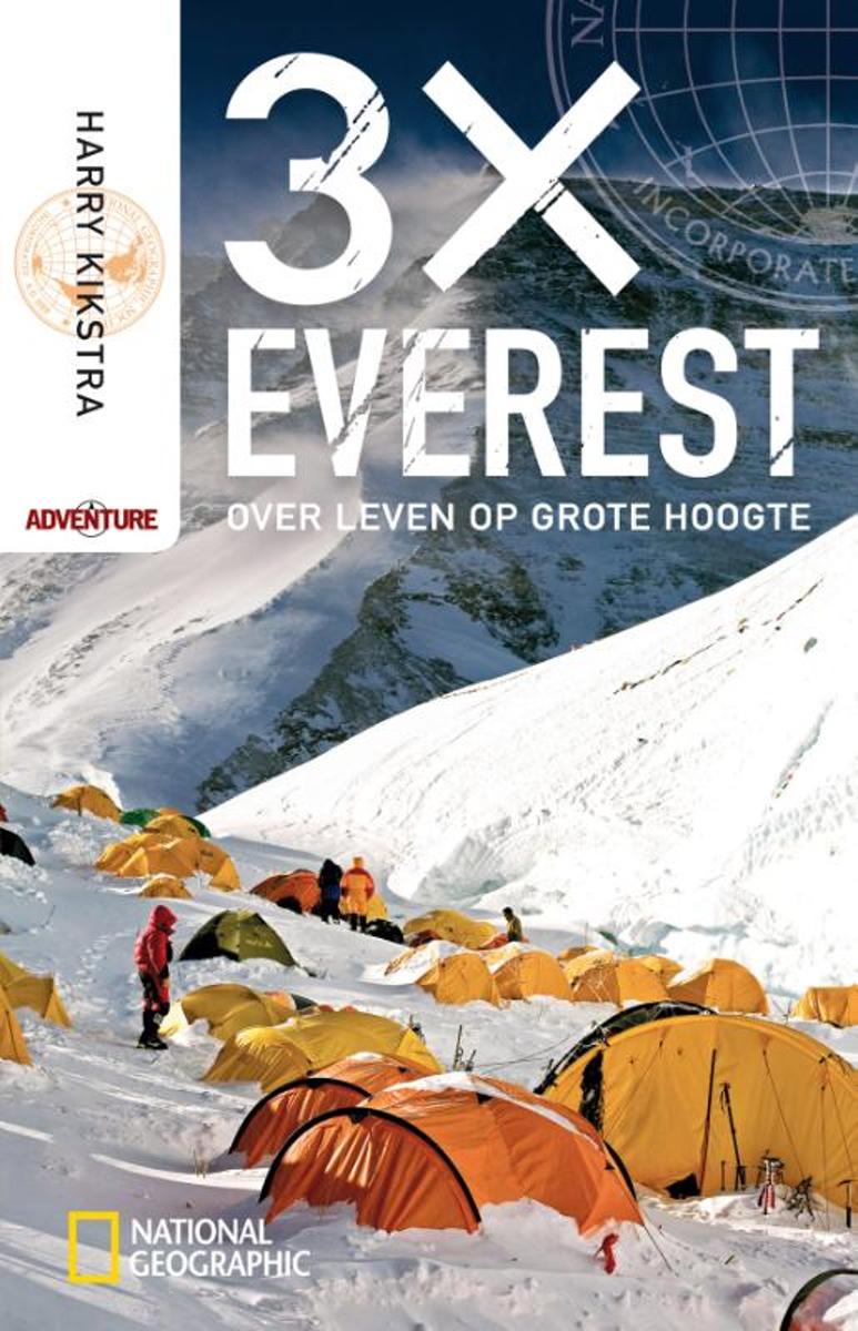
- 3x Everest
- De aan gekte grenzende fascinatie voor het hoogste punt op aarde Waarom wil iemand de top van de hoogste berg bereiken - en niet n keer maar drie keer? Voor Harry Kikstra dient het beklimmen van de Mount Everest geen ander doel dan avontuur om het avontuur; een persoonlijke uitdaging en plezier in het leven. In 2004 beklimt hij voor het eerst... Read more
- Also available from:
- Bol.com, Belgium
Bol.com
Belgium
Belgium
- 3x Everest
- De aan gekte grenzende fascinatie voor het hoogste punt op aarde Waarom wil iemand de top van de hoogste berg bereiken - en niet n keer maar drie keer? Voor Harry Kikstra dient het beklimmen van de Mount Everest geen ander doel dan avontuur om het avontuur; een persoonlijke uitdaging en plezier in het leven. In 2004 beklimt hij voor het eerst... Read more
Bol.com
Netherlands
Netherlands
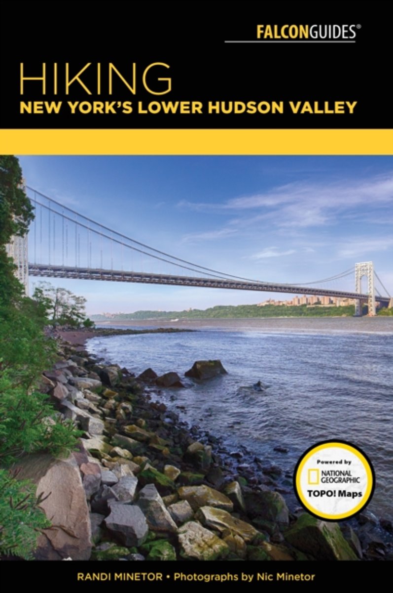
- Hiking New York's Lower Hudson Valley
- From the High Line on Manhattan's West Side to the historic Copake Iron Works in Taconic State Park, Hiking New York's Lower Hudson Valley features the best hiking routes between New York City and Albany, including several in the Catskills and western Connecticut. Whether you're looking for an unforgettable outdoor experience in the sloping... Read more
- Also available from:
- Bol.com, Belgium
Bol.com
Belgium
Belgium
- Hiking New York's Lower Hudson Valley
- From the High Line on Manhattan's West Side to the historic Copake Iron Works in Taconic State Park, Hiking New York's Lower Hudson Valley features the best hiking routes between New York City and Albany, including several in the Catskills and western Connecticut. Whether you're looking for an unforgettable outdoor experience in the sloping... Read more
Kaarten

Bol.com
Netherlands
Netherlands
- Springer & Cohutta Mountains, Chattahoochee National Forest
- Waterproof Tear-Resistant Topographic MapLocated just north of Atlanta, the Chattahoochee National Forest contains the southern terminus of the Appalachian Trail along with an abundance of recreational opportunities for outdoor enthusiasts of all interests.This detailed recreation map contains carefully researched trails, campsites,... Read more
- Also available from:
- Bol.com, Belgium
- Stanfords, United Kingdom
Bol.com
Belgium
Belgium
- Springer & Cohutta Mountains, Chattahoochee National Forest
- Waterproof Tear-Resistant Topographic MapLocated just north of Atlanta, the Chattahoochee National Forest contains the southern terminus of the Appalachian Trail along with an abundance of recreational opportunities for outdoor enthusiasts of all interests.This detailed recreation map contains carefully researched trails, campsites,... Read more

Stanfords
United Kingdom
United Kingdom
- Chattahoochee National Forest - Springer and Cohutta Mountains GA/SC 777
- Map No. 777, Chattahoochee National Forest: Springer and Cohutta Mountains, GA/SC, in an extensive series of GPS compatible, contoured hiking maps of USA’s national and state parks or forests and other popular recreational areas. Cartography based on the national topographic survey, with additional tourist information.The maps, with most titles... Read more

De Zwerver
Netherlands
Netherlands
- Wandelkaart - Topografische kaart 318 Mount Rogers High Country - Grayson Highlands State Park | National Geographic
- Prachtige geplastificeerde kaart van het bekende nationaal park. Met alle recreatieve voorzieningen als campsites, maar ook met topografische details en wandelroutes ed. Door uitgekiend kleurgebruik zeer prettig in gebruik. Scheur en watervast! National Geographic's Trails Illustrated map of Mount Rogers High Country and Grayson Highlands... Read more
- Also available from:
- Bol.com, Netherlands
- Bol.com, Belgium
- Stanfords, United Kingdom
- The Book Depository, United Kingdom

Bol.com
Netherlands
Netherlands
- Mount Rogers High Country
- Waterproof Tear-Resistant Topographic MapNational Geographic's Trails Illustrated map of Mount Rogers High Country and Grayson Highlands State Park, Southwest Virginia, is a two-sided, waterproof, topographic trail map designed to meet the needs of outdoor enthusiasts with unmatched durability and detail. This map was created in... Read more
Bol.com
Belgium
Belgium
- Mount Rogers High Country
- Waterproof Tear-Resistant Topographic MapNational Geographic's Trails Illustrated map of Mount Rogers High Country and Grayson Highlands State Park, Southwest Virginia, is a two-sided, waterproof, topographic trail map designed to meet the needs of outdoor enthusiasts with unmatched durability and detail. This map was created in... Read more

Stanfords
United Kingdom
United Kingdom
- Mount Rogers High Country VA
- Map No. 318 - Mount Rogers High Country in Virginia in an extensive series of GPS compatible, contoured hiking maps of USA’s national and state parks or forests and other popular recreational areas. Cartography based on the national topographic survey, with additional tourist information.The maps, with most titles now printed on light,... Read more

The Book Depository
United Kingdom
United Kingdom
- Mount Rogers High Country
- Trails Illustrated Other Rec. Areas Read more

De Zwerver
Netherlands
Netherlands
- Wandelkaart - Topografische kaart 747 Green Mountain National Forest North - Moosalamoo NRA - Rutland | National Geographic
- Prachtige geplastificeerde kaart van het bekende nationaal park. Met alle recreatieve voorzieningen als campsites, maar ook met topografische details en wandelroutes ed. Door uitgekiend kleurgebruik zeer prettig in gebruik. Scheur en watervast! National Geographic's Green Mountain National Forest North Trails Illustrated topographic map is... Read more
- Also available from:
- Bol.com, Netherlands
- Bol.com, Belgium
- Stanfords, United Kingdom
- The Book Depository, United Kingdom

Bol.com
Netherlands
Netherlands
- Green Mountains N.F., Moosalamoo NRA/Rutland
- Waterproof Tear-Resistant Topographic MapNational Geographic's Green Mountain National Forest North Trails Illustrated topographic map is the most comprehensive available for outdoor enthusiasts of all types. Designed to be easy-to-read, yet highly detailed this map includes a comprehensive road and trail network distinguishing between... Read more
Bol.com
Belgium
Belgium
- Green Mountains N.F., Moosalamoo NRA/Rutland
- Waterproof Tear-Resistant Topographic MapNational Geographic's Green Mountain National Forest North Trails Illustrated topographic map is the most comprehensive available for outdoor enthusiasts of all types. Designed to be easy-to-read, yet highly detailed this map includes a comprehensive road and trail network distinguishing between... Read more

Stanfords
United Kingdom
United Kingdom
- Green Mountain National Forest - Moosalamoo NRA - Rutland VT
- Map No. 747, Green Mountain National Forest: Moosalamoo NRA - Rutland area in Vermont, in an extensive series of GPS compatible, contoured hiking maps of USA’s national and state parks or forests and other popular recreational areas. Cartography based on the national topographic survey, with additional tourist information.The maps, with most... Read more

The Book Depository
United Kingdom
United Kingdom
- Green Mountains N.f., Moosalamoo Nra/rutland
- Trails Illustrated Other Rec. Areas Read more

De Zwerver
Netherlands
Netherlands
- Wandelkaart - Topografische kaart 316 Cades Cove - Elkmont - Great Smoky Mountains National Park | National Geographic
- Prachtige geplastificeerde kaart van het bekende nationaal park. Met alle recreatieve voorzieningen als campsites, maar ook met topografische details en wandelroutes ed. Door uitgekiend kleurgebruik zeer prettig in gebruik. Scheur en watervast! This title provides an increased scale of one of the most visited National Parks in the US, and one... Read more
- Also available from:
- Bol.com, Netherlands
- Bol.com, Belgium
- Stanfords, United Kingdom

Bol.com
Netherlands
Netherlands
- Cades Cove/elkmont, Great Smoky Mountains National Park
- Waterproof Tear-Resistant Topographic MapThis title provides an increased scale of one of the most visited National Parks in the US, and one of our more popular map titles. This increased scale will provide greater detail to the backcountry users and Appalachian Trail through-hikers.Park Introduction:Great Smoky Mountains National Park is... Read more
Bol.com
Belgium
Belgium
- Cades Cove/elkmont, Great Smoky Mountains National Park
- Waterproof Tear-Resistant Topographic MapThis title provides an increased scale of one of the most visited National Parks in the US, and one of our more popular map titles. This increased scale will provide greater detail to the backcountry users and Appalachian Trail through-hikers.Park Introduction:Great Smoky Mountains National Park is... Read more

Stanfords
United Kingdom
United Kingdom
- Cades Cove - Elkmont - Great Smoky Mountains National Park NC/TN
- Map No. 316, Great Smoky Mountains National Park: Cades Cove - Elkmont, NC/TN, in an extensive series of GPS compatible, contoured hiking maps of USA’s national and state parks or forests and other popular recreational areas. Cartography based on the national topographic survey, with additional tourist information.The maps, with most titles now... Read more