
New Hampshire
Beschrijving
New Hampshire, in the New England region, has its tips bordering on the Atlantic and Canada.
Prime destination for hikers are the White Mountains, with more than 1000 miles of trails.
157 Miles of the Appalachian Trail lie in New Hampshire. The Eastern Continental Trail and Great Eastern Trail are partly in this state. The New England Trail should touch on New Hampshire.
The Cohos Trail in the state is 162 miles long.
Kaart

Paden in deze landsdeel
Links
Feiten
Verslagen
Gidsen en kaarten
Overnachting
Organisaties
Reisorganisaties
GPS
Anders
Boeken
De Zwerver
Netherlands
2022
Netherlands
2022
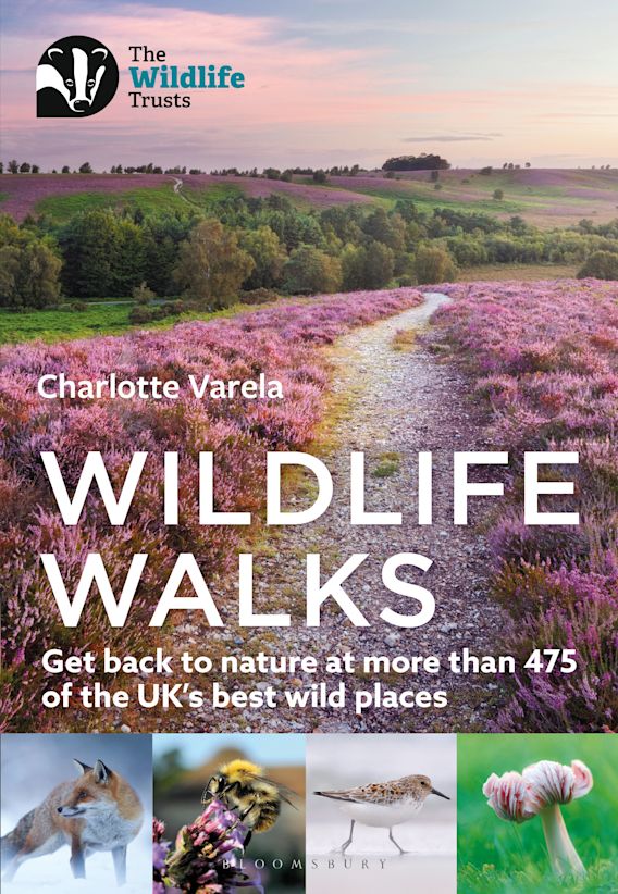
- Wandelgids Wildlife Walks | Bloomsbury
- Get back to nature at more than 475 of the UK's best wild places Read more


De Zwerver
Netherlands
Netherlands


De Zwerver
Netherlands
2018
Netherlands
2018
- Wandelgids USA: Appalachian Trail | Conrad Stein Verlag
- Handzame overzichtsgids van deze geweldige en uitdagende lange afstands wandeling in het oosten van de USA: de Appalachian Trail. Het is een ideale gids om de hele tocht voor te bereiden en als basisgids bij je te hebben. Goede beschrijvingen van etappes en veel praktische informatie. Het enige wat mager is zijn dekaarten: goed voor overzicht... Read more
De Zwerver
Netherlands
2020
Netherlands
2020
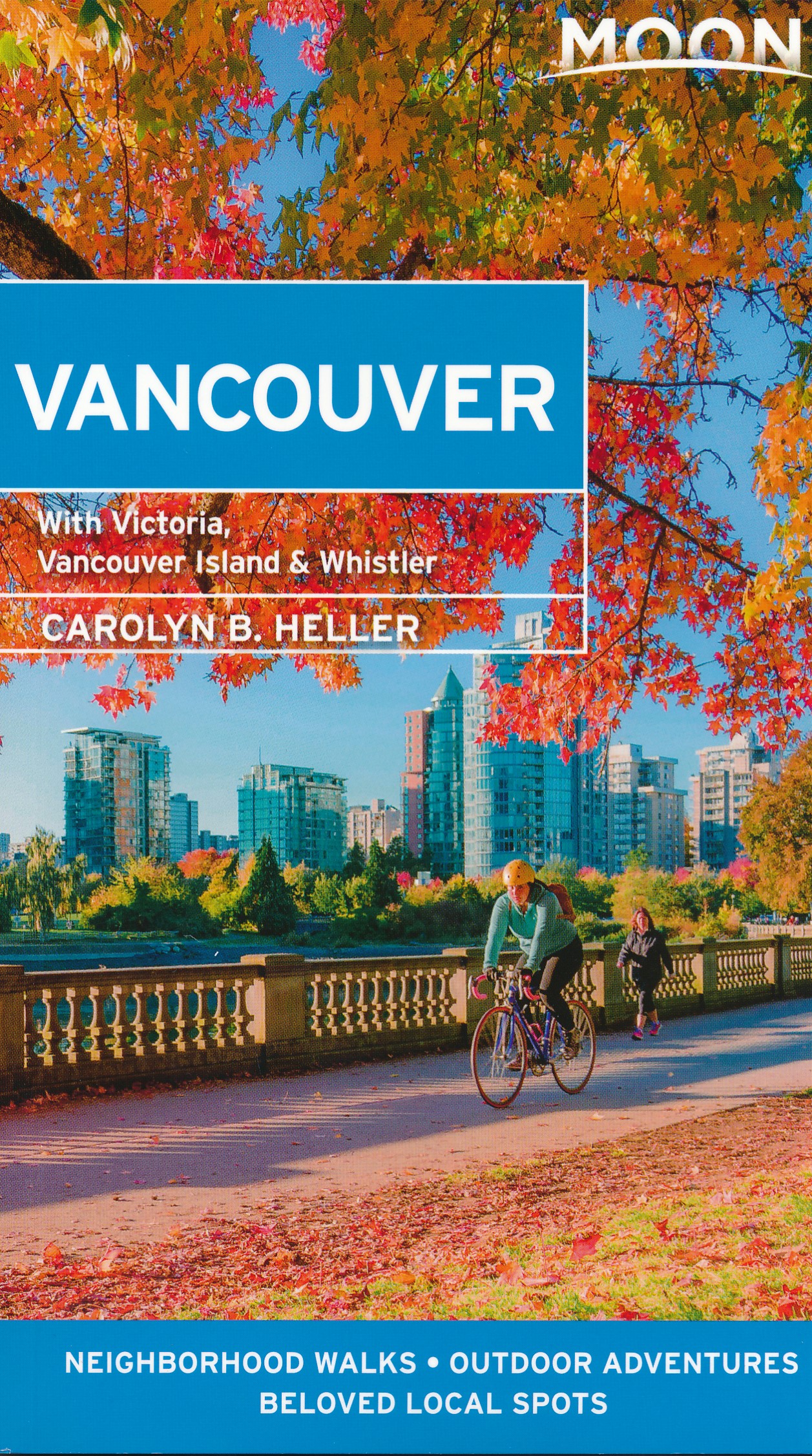
- Reisgids Vancouver | Moon Travel Guides
- Set on the edge of the Pacific and bursting with culture and life, Vancouver is a delight to explore. Immerse yourself in the best of the city with Moon Vancouver.* Explore the City: Navigate by neighbourhood or by activity with colour-coded maps, or follow one of our self-guided neighbourhood walks* See the Sights: Cycle along the coast at... Read more
De Zwerver
Netherlands
2017
Netherlands
2017
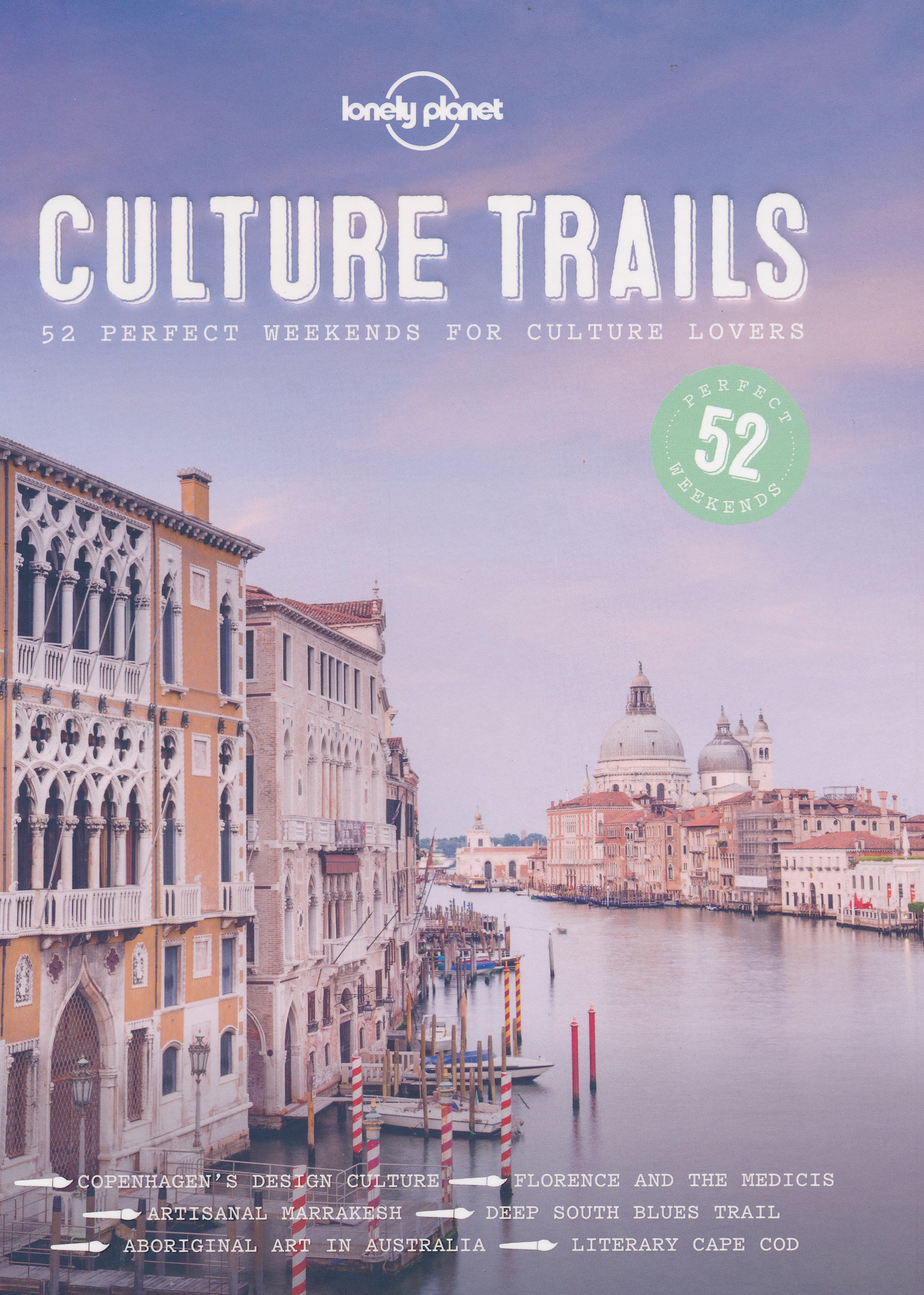
- Reisgids Culture Trails | Lonely Planet
- NEW 52 perfect weekends for culture lovers NEW Hemingway’s Cuba, jazz in New Orleans, the Italian Renaissance: whether it’s art, music, literature, cinema or TV, there’s something for everyone in this follow-up to Wine Trails and Food Trails. NEW In this comprehensive guide, we present ideas and itineraries for 52 weekends of culture... Read more
Bol.com
Netherlands
Netherlands
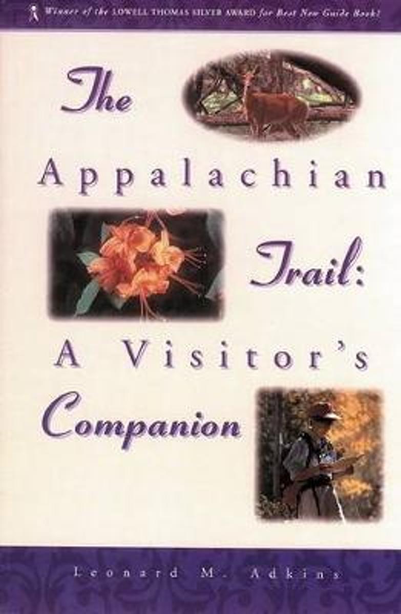
- The Appalachian Trail Visitor's Companion
- Finally, a comprehensive naturalist's guide to the Appalachian Trail. Never again will your shoulders ache from lugging dozens of guidebooks in your backpack. The Appalachian Trail: A Visitor's Companion contains all the essential information about the AT - from the trail's fascinating history to detailed information on the geology, trees,... Read more
- Also available from:
- Bol.com, Belgium
Bol.com
Belgium
Belgium
- The Appalachian Trail Visitor's Companion
- Finally, a comprehensive naturalist's guide to the Appalachian Trail. Never again will your shoulders ache from lugging dozens of guidebooks in your backpack. The Appalachian Trail: A Visitor's Companion contains all the essential information about the AT - from the trail's fascinating history to detailed information on the geology, trees,... Read more

Bol.com
Netherlands
Netherlands
- Small Stream Bass
- Small Stream Bass provides instruction, wisdom, and practical information for getting off the beaten path, exploring and enjoying America's small and overlooked bass streams. Bass are able to live in many streams that can't support trout. Gifford's book opens up a whole new world of fishing to the traditional trout fisherman. Drawing on years... Read more
- Also available from:
- Bol.com, Belgium
Bol.com
Belgium
Belgium
- Small Stream Bass
- Small Stream Bass provides instruction, wisdom, and practical information for getting off the beaten path, exploring and enjoying America's small and overlooked bass streams. Bass are able to live in many streams that can't support trout. Gifford's book opens up a whole new world of fishing to the traditional trout fisherman. Drawing on years... Read more
Bol.com
Netherlands
Netherlands
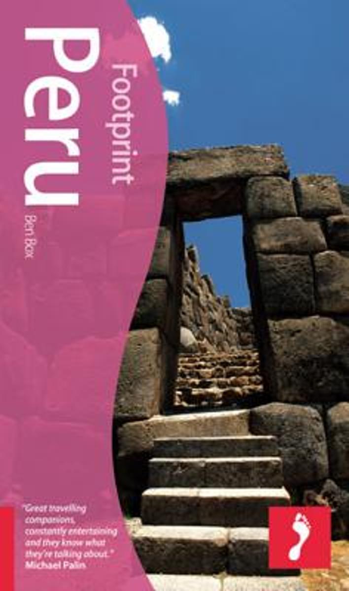
- Peru
- Peru is the heart of the Andes and home to the driest desert in the world. This is the only guide for free-spirited travellers who want to get beyond both the Gringo and the Inca trails with detailed accounts of the best off-the-beaten-track sites. Activity-packed for thrill-seekers visiting the country, Footprint Peru takes you surfing, white... Read more
- Also available from:
- Bol.com, Belgium
Bol.com
Belgium
Belgium
- Peru
- Peru is the heart of the Andes and home to the driest desert in the world. This is the only guide for free-spirited travellers who want to get beyond both the Gringo and the Inca trails with detailed accounts of the best off-the-beaten-track sites. Activity-packed for thrill-seekers visiting the country, Footprint Peru takes you surfing, white... Read more

Bol.com
Netherlands
Netherlands
- Visitor's Guide to the English Cotswolds
- The Visitor's Guide to the English Cotswolds - 4th Edition Including Stratford & Shakespeare Country If you're planning a visit to the English Cotswolds, you'll find this guide to be a valuable resource. The English Cotswolds are a chain of undulating, limestone foothills that encompass a quiet, idyllic world of sleepy little towns and villages... Read more
- Also available from:
- Bol.com, Belgium
Bol.com
Belgium
Belgium
- Visitor's Guide to the English Cotswolds
- The Visitor's Guide to the English Cotswolds - 4th Edition Including Stratford & Shakespeare Country If you're planning a visit to the English Cotswolds, you'll find this guide to be a valuable resource. The English Cotswolds are a chain of undulating, limestone foothills that encompass a quiet, idyllic world of sleepy little towns and villages... Read more

Bol.com
Netherlands
Netherlands
- Weird Hikes
- Fast-paced and spooky tales from the trailsArt Bernstein offers sixteen engaging stories of strange-but-true events that occurred while he was hiking. Sometimes poignant, always witty, these tales of unexplained phenomena, mythical beasts, and unusual incidents cover ground from the Grand Canyon to the Florida Everglades?from a chance encounter... Read more
- Also available from:
- Bol.com, Belgium
- The Book Depository, United Kingdom
Bol.com
Belgium
Belgium
- Weird Hikes
- Fast-paced and spooky tales from the trailsArt Bernstein offers sixteen engaging stories of strange-but-true events that occurred while he was hiking. Sometimes poignant, always witty, these tales of unexplained phenomena, mythical beasts, and unusual incidents cover ground from the Grand Canyon to the Florida Everglades?from a chance encounter... Read more

The Book Depository
United Kingdom
United Kingdom
- Weird Hikes
- A Collection Of Bizarre, Funny, And Absolutely True Hiking Stories Read more

Bol.com
Netherlands
Netherlands
- Halfway to Halfway & Other River Stories
- This is a collection of stories by, and usually about, river guides and outfitters. The tales focus on river related events that usually have little to do with whitewater. Many don't even take place on a river. All say a lot about the culture of guiding and the people attracted to wild places and the odd things that happen once they get there.... Read more
- Also available from:
- Bol.com, Belgium
Bol.com
Belgium
Belgium
- Halfway to Halfway & Other River Stories
- This is a collection of stories by, and usually about, river guides and outfitters. The tales focus on river related events that usually have little to do with whitewater. Many don't even take place on a river. All say a lot about the culture of guiding and the people attracted to wild places and the odd things that happen once they get there.... Read more

Bol.com
Netherlands
Netherlands
- Fasting for a Life Changing Breakthrough
- I was so tired. The past 5 years had taken a toll on my life and I was completely fed up You know that feeling deep down that you feel when you know you are destined for so much more that where you are in life? Well, that is exactly where I was at this point and I just knew something had to change. In fall 2014 I was on my way to Whole Foods... Read more
- Also available from:
- Bol.com, Belgium
Bol.com
Belgium
Belgium
- Fasting for a Life Changing Breakthrough
- I was so tired. The past 5 years had taken a toll on my life and I was completely fed up You know that feeling deep down that you feel when you know you are destined for so much more that where you are in life? Well, that is exactly where I was at this point and I just knew something had to change. In fall 2014 I was on my way to Whole Foods... Read more

Bol.com
Netherlands
Netherlands
- Kilimanjaro Diaries
- Nowhere else but Africa can you expect to be completely pampered when embarking on a week of hardship!This realization convinces housewife, mother of four, and expat blogger Eva Melusine Thieme that her idea to climb Mount Kilimanjaro as the crowning achievement of her three years in Africa isn t as crazy as it sounds. In fact, it has all the... Read more
- Also available from:
- Bol.com, Belgium
Bol.com
Belgium
Belgium
- Kilimanjaro Diaries
- Nowhere else but Africa can you expect to be completely pampered when embarking on a week of hardship!This realization convinces housewife, mother of four, and expat blogger Eva Melusine Thieme that her idea to climb Mount Kilimanjaro as the crowning achievement of her three years in Africa isn t as crazy as it sounds. In fact, it has all the... Read more
Kaarten
.jpg)
De Zwerver
Netherlands
Netherlands
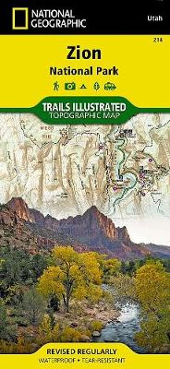
- Wandelkaart - Topografische kaart 214 Zion National Park | National Geographic
- Prachtige geplastificeerde kaart van het bekende nationaal park. Met alle recreatieve voorzieningen als campsites, maar ook met topografische details en wandelroutes ed. Door uitgekiend kleurgebruik zeer prettig in gebruik. Scheur en watervast! This National Geographic Trails Illustrated folded map offers comprehensive coverage of Zion National... Read more
- Also available from:
- Bol.com, Netherlands
- Bol.com, Belgium
- Stanfords, United Kingdom
- The Book Depository, United Kingdom
Bol.com
Netherlands
Netherlands
- Zion National Park
- Waterproof Tear-Resistant Topographic MapExplore the beauty and geological wonder of Utah's first national park with National Geographic's Trails Illustrated map of Zion National Park. Created in partnership with local land management agencies, this expertly researched map combines unmatched detail with useful information to help you get... Read more
Bol.com
Belgium
Belgium
- Zion National Park
- Waterproof Tear-Resistant Topographic MapExplore the beauty and geological wonder of Utah's first national park with National Geographic's Trails Illustrated map of Zion National Park. Created in partnership with local land management agencies, this expertly researched map combines unmatched detail with useful information to help you get... Read more

Stanfords
United Kingdom
United Kingdom
- Zion National Park UT NGS Trails Illustrated Map 214
- Map No. 214, Zion National Park, UT, in an extensive series of GPS compatible, contoured hiking maps of USA’s national and state parks or forests and other popular recreational areas. Cartography based on the national topographic survey, with additional tourist information.The maps, with most titles now printed on light, waterproof and... Read more


Bol.com
Netherlands
Netherlands
- Tenerife Hikers Maps
- Our latest hiking research on Tenerife has resulted in new editions of Walk! Tenerife and Tenerife Hikers' Super-Durable Maps being published in 2017. Thanks to Jan Kostura's 2016 research we have several new hiking adventures described in detail in Walk! Tenerife. Jan's gps records of his research for new routes and updating of current routes... Read more
- Also available from:
- Bol.com, Belgium
Bol.com
Belgium
Belgium
- Tenerife Hikers Maps
- Our latest hiking research on Tenerife has resulted in new editions of Walk! Tenerife and Tenerife Hikers' Super-Durable Maps being published in 2017. Thanks to Jan Kostura's 2016 research we have several new hiking adventures described in detail in Walk! Tenerife. Jan's gps records of his research for new routes and updating of current routes... Read more

De Zwerver
Netherlands
Netherlands
- Wandelkaart - Topografische kaart 747 Green Mountain National Forest North - Moosalamoo NRA - Rutland | National Geographic
- Prachtige geplastificeerde kaart van het bekende nationaal park. Met alle recreatieve voorzieningen als campsites, maar ook met topografische details en wandelroutes ed. Door uitgekiend kleurgebruik zeer prettig in gebruik. Scheur en watervast! National Geographic's Green Mountain National Forest North Trails Illustrated topographic map is... Read more
- Also available from:
- Bol.com, Netherlands
- Bol.com, Belgium
- Stanfords, United Kingdom
- The Book Depository, United Kingdom

Bol.com
Netherlands
Netherlands
- Green Mountains N.F., Moosalamoo NRA/Rutland
- Waterproof Tear-Resistant Topographic MapNational Geographic's Green Mountain National Forest North Trails Illustrated topographic map is the most comprehensive available for outdoor enthusiasts of all types. Designed to be easy-to-read, yet highly detailed this map includes a comprehensive road and trail network distinguishing between... Read more
Bol.com
Belgium
Belgium
- Green Mountains N.F., Moosalamoo NRA/Rutland
- Waterproof Tear-Resistant Topographic MapNational Geographic's Green Mountain National Forest North Trails Illustrated topographic map is the most comprehensive available for outdoor enthusiasts of all types. Designed to be easy-to-read, yet highly detailed this map includes a comprehensive road and trail network distinguishing between... Read more

Stanfords
United Kingdom
United Kingdom
- Green Mountain National Forest - Moosalamoo NRA - Rutland VT
- Map No. 747, Green Mountain National Forest: Moosalamoo NRA - Rutland area in Vermont, in an extensive series of GPS compatible, contoured hiking maps of USA’s national and state parks or forests and other popular recreational areas. Cartography based on the national topographic survey, with additional tourist information.The maps, with most... Read more

The Book Depository
United Kingdom
United Kingdom
- Green Mountains N.f., Moosalamoo Nra/rutland
- Trails Illustrated Other Rec. Areas Read more

Bol.com
Netherlands
Netherlands
- Springer & Cohutta Mountains, Chattahoochee National Forest
- Waterproof Tear-Resistant Topographic MapLocated just north of Atlanta, the Chattahoochee National Forest contains the southern terminus of the Appalachian Trail along with an abundance of recreational opportunities for outdoor enthusiasts of all interests.This detailed recreation map contains carefully researched trails, campsites,... Read more
- Also available from:
- Bol.com, Belgium
- Stanfords, United Kingdom
Bol.com
Belgium
Belgium
- Springer & Cohutta Mountains, Chattahoochee National Forest
- Waterproof Tear-Resistant Topographic MapLocated just north of Atlanta, the Chattahoochee National Forest contains the southern terminus of the Appalachian Trail along with an abundance of recreational opportunities for outdoor enthusiasts of all interests.This detailed recreation map contains carefully researched trails, campsites,... Read more

Stanfords
United Kingdom
United Kingdom
- Chattahoochee National Forest - Springer and Cohutta Mountains GA/SC 777
- Map No. 777, Chattahoochee National Forest: Springer and Cohutta Mountains, GA/SC, in an extensive series of GPS compatible, contoured hiking maps of USA’s national and state parks or forests and other popular recreational areas. Cartography based on the national topographic survey, with additional tourist information.The maps, with most titles... Read more

De Zwerver
Netherlands
2014
Netherlands
2014
- Wandelkaart Cape Wrath Trail South | Harvey Maps
- The southern section of the Cape Wrath Trail, from Fort William to Strathcarron presented at 1:40,000 on a light, waterproof and tear-resistant map from Harvey Map Services. The map covers this section of the trail on eight panels, showing both the western variant via Inverie and Shiel Bridge, and inland route along Loch Lochy and Invegarry.... Read more
- Also available from:
- Bol.com, Netherlands
- Bol.com, Belgium
- Stanfords, United Kingdom
- The Book Depository, United Kingdom

Bol.com
Netherlands
2014
Netherlands
2014
- Cape Wrath Trail South XT40
- Cape Wrath Trail is a challenging route from Fort William to Cape Wrath. It is around 200 miles long and passes through some of Scotland's wildest and most spectacular scenery. The trail has evolved from use and is not an officially recognised National Trail. There is no single definitive route. There are various ways of tackling the traverse... Read more
Bol.com
Belgium
2014
Belgium
2014
- Cape Wrath Trail South XT40
- Cape Wrath Trail is a challenging route from Fort William to Cape Wrath. It is around 200 miles long and passes through some of Scotland's wildest and most spectacular scenery. The trail has evolved from use and is not an officially recognised National Trail. There is no single definitive route. There are various ways of tackling the traverse... Read more

Stanfords
United Kingdom
2014
United Kingdom
2014
- Cape Wrath Trail South - Fort William to Strathcarron Harvey National Trail XT40
- The southern section of the Cape Wrath Trail, from Fort William to Strathcarron presented at 1:40,000 on a light, waterproof and tear-resistant map from Harvey Map Services. The map covers this section of the trail on eight panels, showing both the western variant via Inverie and Shiel Bridge, and inland route along Loch Lochy and Invegarry.... Read more


Bol.com
Netherlands
Netherlands
- Yorkshire Dales Mountain Biking
- This is a mountain biking guidebook to the Yorkshire Dales. Yorkshire Dales Mountain Biking - The North Dales is a user-friendly guide to the best riding in one of the country's most MTB-friendly national parks. The Yorkshire Dales have the lot: short riverside cruises on good trails, epic rides taking in big views, moorland singletrack and... Read more
- Also available from:
- Bol.com, Belgium
- Stanfords, United Kingdom
Bol.com
Belgium
Belgium
- Yorkshire Dales Mountain Biking
- This is a mountain biking guidebook to the Yorkshire Dales. Yorkshire Dales Mountain Biking - The North Dales is a user-friendly guide to the best riding in one of the country's most MTB-friendly national parks. The Yorkshire Dales have the lot: short riverside cruises on good trails, epic rides taking in big views, moorland singletrack and... Read more

Stanfords
United Kingdom
United Kingdom
- Yorkshire Dales Mountain Biking - the North Dales
- Vertebrate’s guide to mountain biking in the northern Yorkshire Dales covers 24 recommended mountain bike trails, routes and rides ranging from 8km to 53km. The routes themselves have been devised and tested by local riders to help you get the very best out of the North Dales trails.Each route is described with easy-to-follow instructions,... Read more
Bol.com
Netherlands
Netherlands
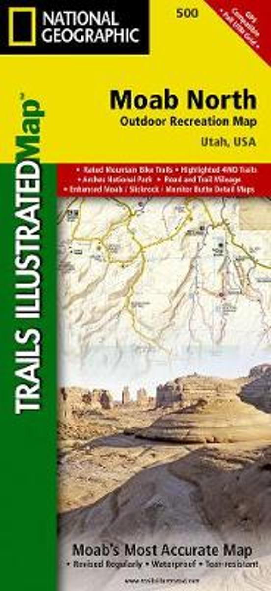
- Moab North
- Waterproof Tear-Resistant Topographic MapA popular destination for mountain biking, hiking, whitewater rafting, and four-wheeling, Moab offers adventure and recreation in one of the most iconic landscapes in the United States. National Geographic's Trails Illustrated map of Moab North was created in partnership with local land management... Read more
- Also available from:
- Bol.com, Belgium
- Stanfords, United Kingdom
Bol.com
Belgium
Belgium
- Moab North
- Waterproof Tear-Resistant Topographic MapA popular destination for mountain biking, hiking, whitewater rafting, and four-wheeling, Moab offers adventure and recreation in one of the most iconic landscapes in the United States. National Geographic's Trails Illustrated map of Moab North was created in partnership with local land management... Read more

Stanfords
United Kingdom
United Kingdom
- Moab North UT NGS Trails Illustrated Outdoor Recreation Map 500
- Map No. 500, Moab North Mountain Bike Map, in an extensive series of GPS compatible, contoured hiking maps of USA’s national and state parks or forests and other popular recreational areas. Cartography based on the national topographic survey, with additional tourist information.The maps, with most titles now printed on light, waterproof and... Read more

De Zwerver
Netherlands
Netherlands
- Wandelkaart - Topografische kaart 316 Cades Cove - Elkmont - Great Smoky Mountains National Park | National Geographic
- Prachtige geplastificeerde kaart van het bekende nationaal park. Met alle recreatieve voorzieningen als campsites, maar ook met topografische details en wandelroutes ed. Door uitgekiend kleurgebruik zeer prettig in gebruik. Scheur en watervast! This title provides an increased scale of one of the most visited National Parks in the US, and one... Read more
- Also available from:
- Bol.com, Netherlands
- Bol.com, Belgium
- Stanfords, United Kingdom

Bol.com
Netherlands
Netherlands
- Cades Cove/elkmont, Great Smoky Mountains National Park
- Waterproof Tear-Resistant Topographic MapThis title provides an increased scale of one of the most visited National Parks in the US, and one of our more popular map titles. This increased scale will provide greater detail to the backcountry users and Appalachian Trail through-hikers.Park Introduction:Great Smoky Mountains National Park is... Read more
Bol.com
Belgium
Belgium
- Cades Cove/elkmont, Great Smoky Mountains National Park
- Waterproof Tear-Resistant Topographic MapThis title provides an increased scale of one of the most visited National Parks in the US, and one of our more popular map titles. This increased scale will provide greater detail to the backcountry users and Appalachian Trail through-hikers.Park Introduction:Great Smoky Mountains National Park is... Read more

Stanfords
United Kingdom
United Kingdom
- Cades Cove - Elkmont - Great Smoky Mountains National Park NC/TN
- Map No. 316, Great Smoky Mountains National Park: Cades Cove - Elkmont, NC/TN, in an extensive series of GPS compatible, contoured hiking maps of USA’s national and state parks or forests and other popular recreational areas. Cartography based on the national topographic survey, with additional tourist information.The maps, with most titles now... Read more
Bol.com
Netherlands
Netherlands
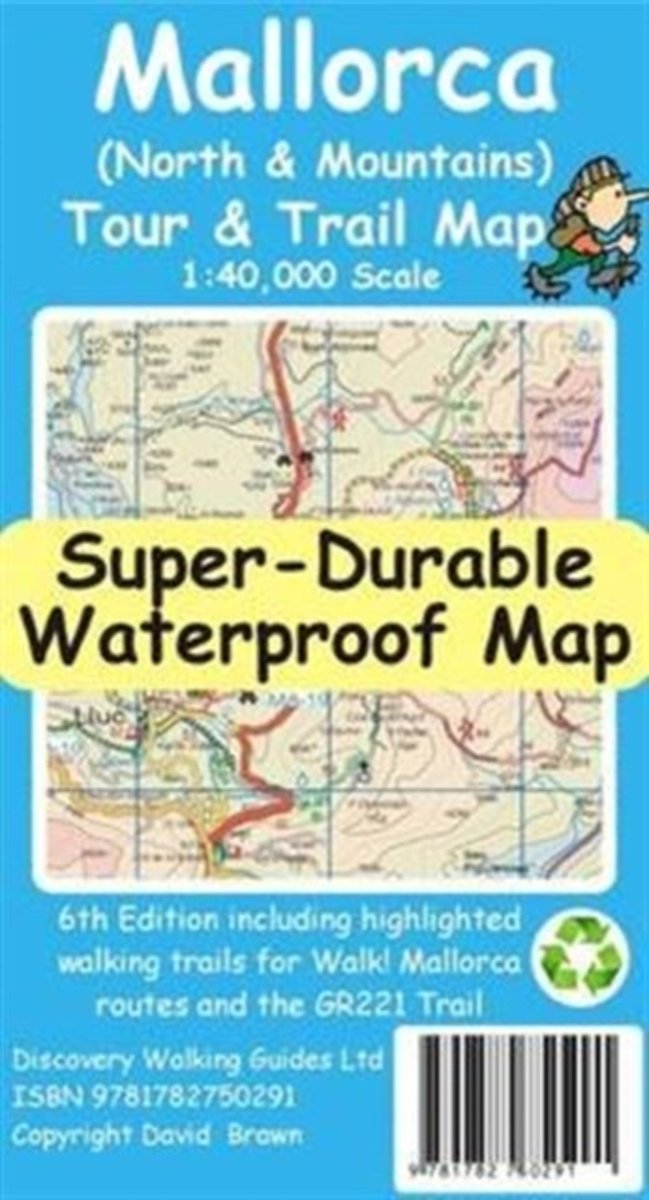
- Mallorca North & Mountains Tour & Trail Super-Durable Map
- Fully detailed Mallorca adventures with our new Mallorca North & Mountains Tour & Trail Super-Durable Map 6th edition by David Brawn and Walk! Mallorca guide book by Charles Davis. Our new 6th edition gives you a super detailed, up to date, map of the Tramuntana region stretching from Peguera-Costa Calma- Santa Ponca in the west then running... Read more
- Also available from:
- Bol.com, Belgium
Bol.com
Belgium
Belgium
- Mallorca North & Mountains Tour & Trail Super-Durable Map
- Fully detailed Mallorca adventures with our new Mallorca North & Mountains Tour & Trail Super-Durable Map 6th edition by David Brawn and Walk! Mallorca guide book by Charles Davis. Our new 6th edition gives you a super detailed, up to date, map of the Tramuntana region stretching from Peguera-Costa Calma- Santa Ponca in the west then running... Read more

De Zwerver
Netherlands
Netherlands
- Wandelkaart - Topografische kaart 219 Bryce Canyon National Park | National Geographic
- Prachtige geplastificeerde kaart van het bekende nationaal park. Met alle recreatieve voorzieningen als campsites, maar ook met topografische details en wandelroutes ed. Door uitgekiend kleurgebruik zeer prettig in gebruik. Scheur en watervast! This informative Trails Illustrated map will help you plan trips and explore the area in and around... Read more
- Also available from:
- Bol.com, Netherlands
- Bol.com, Belgium
- Stanfords, United Kingdom
- The Book Depository, United Kingdom

Bol.com
Netherlands
Netherlands
- Bryce Canyon National Park
- Waterproof Tear-Resistant Topographic MapNational Geographic's Trails Illustrated map of Bryce Canyon National Park is designed to meet the needs of outdoor enthusiasts by combining valuable information with unmatched detail of this unique landscape of hoodoos and forest. Created in partnership with local land management agencies, this... Read more
Bol.com
Belgium
Belgium
- Bryce Canyon National Park
- Waterproof Tear-Resistant Topographic MapNational Geographic's Trails Illustrated map of Bryce Canyon National Park is designed to meet the needs of outdoor enthusiasts by combining valuable information with unmatched detail of this unique landscape of hoodoos and forest. Created in partnership with local land management agencies, this... Read more

Stanfords
United Kingdom
United Kingdom
- Bryce Canyon National Park UT NGS Trails Illustrated Map 219
- Map No. 219, Bryce Canyon National Park, UT, in an extensive series of GPS compatible, contoured hiking maps of USA’s national and state parks or forests and other popular recreational areas. Cartography based on the national topographic survey, with additional tourist information.The maps, with most titles now printed on light, waterproof and... Read more

The Book Depository
United Kingdom
United Kingdom
- Bryce Canyon National Park
- Trails Illustrated National Parks Read more

Bol.com
Netherlands
Netherlands
- Wales Mountain Biking
- Wales Mountain Biking is the 12th title in Vertebrate Publishing's bestselling series of UK mountain biking guidebooks. This book showcases 20 routes in Wales, between 12km and 50km in length, suitable for all levels of mountain bikers. Split into three sections, South Wales, Mid Wales and North Wales, this book includes classic loops in the... Read more
- Also available from:
- Bol.com, Belgium
- Stanfords, United Kingdom
Bol.com
Belgium
Belgium
- Wales Mountain Biking
- Wales Mountain Biking is the 12th title in Vertebrate Publishing's bestselling series of UK mountain biking guidebooks. This book showcases 20 routes in Wales, between 12km and 50km in length, suitable for all levels of mountain bikers. Split into three sections, South Wales, Mid Wales and North Wales, this book includes classic loops in the... Read more

Stanfords
United Kingdom
United Kingdom
- Wales Mountain Biking
- Vertebrate’s guide to mountain biking in Wales covers 20 recommended mountain bike trails, routes and rides ranging from 12km to 50km. The routes themselves have been devised and tested by local riders to help you get the very best out of the Welsh trails.Each route is described with easy-to-follow instructions, information on difficulty,... Read more
Bol.com
Netherlands
Netherlands
- Theodore Roosevelt National Park/maah Daah Hey Trail
- Get the most trusted and popular recreation maps available. Each map is crafted in conjunction with local land managers and undergoes rigorous review and enhancement before being printed on waterproof, tear-resistant material. The maps are updated regularly to include detailed topographic information, clearly marked/named trails, recreational... Read more
- Also available from:
- Bol.com, Belgium
- Stanfords, United Kingdom
Bol.com
Belgium
Belgium
- Theodore Roosevelt National Park/maah Daah Hey Trail
- Get the most trusted and popular recreation maps available. Each map is crafted in conjunction with local land managers and undergoes rigorous review and enhancement before being printed on waterproof, tear-resistant material. The maps are updated regularly to include detailed topographic information, clearly marked/named trails, recreational... Read more

Stanfords
United Kingdom
United Kingdom
- Theodore Roosevelt National Park / Maah Daah Hey Trail ND
- Map No. 259, Theodore Roosevelt National Park/ Maah Daah Hey Trail in North Dakota, at 1:40,000 in an extensive series of GPS compatible, contoured hiking maps of USA’s national and state parks or forests and other popular recreational areas. Cartography based on the national topographic survey, with additional tourist information.The maps,... Read more

De Zwerver
Netherlands
Netherlands
- Wandelkaart - Topografische kaart 318 Mount Rogers High Country - Grayson Highlands State Park | National Geographic
- Prachtige geplastificeerde kaart van het bekende nationaal park. Met alle recreatieve voorzieningen als campsites, maar ook met topografische details en wandelroutes ed. Door uitgekiend kleurgebruik zeer prettig in gebruik. Scheur en watervast! National Geographic's Trails Illustrated map of Mount Rogers High Country and Grayson Highlands... Read more
- Also available from:
- Bol.com, Netherlands
- Bol.com, Belgium
- Stanfords, United Kingdom
- The Book Depository, United Kingdom

Bol.com
Netherlands
Netherlands
- Mount Rogers High Country
- Waterproof Tear-Resistant Topographic MapNational Geographic's Trails Illustrated map of Mount Rogers High Country and Grayson Highlands State Park, Southwest Virginia, is a two-sided, waterproof, topographic trail map designed to meet the needs of outdoor enthusiasts with unmatched durability and detail. This map was created in... Read more
Bol.com
Belgium
Belgium
- Mount Rogers High Country
- Waterproof Tear-Resistant Topographic MapNational Geographic's Trails Illustrated map of Mount Rogers High Country and Grayson Highlands State Park, Southwest Virginia, is a two-sided, waterproof, topographic trail map designed to meet the needs of outdoor enthusiasts with unmatched durability and detail. This map was created in... Read more

Stanfords
United Kingdom
United Kingdom
- Mount Rogers High Country VA
- Map No. 318 - Mount Rogers High Country in Virginia in an extensive series of GPS compatible, contoured hiking maps of USA’s national and state parks or forests and other popular recreational areas. Cartography based on the national topographic survey, with additional tourist information.The maps, with most titles now printed on light,... Read more

The Book Depository
United Kingdom
United Kingdom
- Mount Rogers High Country
- Trails Illustrated Other Rec. Areas Read more
Bol.com
Netherlands
Netherlands
- Channel Islands National Park
- Waterproof Tear-Resistant Topographic MapThis two-sided map includes San Miguel Island, Santa Rosa Island, Santa Cruz Island, Santa Barbara Island, and Anacapa Island. The map combines beautiful cartography that shows the topology and natural features of each island, along with hiking trails, camping spots, rest areas, notable ship... Read more
- Also available from:
- Bol.com, Belgium
- Stanfords, United Kingdom
Bol.com
Belgium
Belgium
- Channel Islands National Park
- Waterproof Tear-Resistant Topographic MapThis two-sided map includes San Miguel Island, Santa Rosa Island, Santa Cruz Island, Santa Barbara Island, and Anacapa Island. The map combines beautiful cartography that shows the topology and natural features of each island, along with hiking trails, camping spots, rest areas, notable ship... Read more

Stanfords
United Kingdom
United Kingdom
- Channel Islands National Park CA NGS Trails Illustrated Map 252
- Map No. 252, Channel Islands National Parkin California, at 1:25,000/1:50,000 in an extensive series of GPS compatible, contoured hiking maps of USA’s national and state parks or forests and other popular recreational areas. Cartography based on the national topographic survey, with additional tourist information.The maps, with most titles now... Read more

Stanfords
United Kingdom
United Kingdom
- Rasuwagadhi
- Rasuwagadhi, sheet no. 2885-10, in the topographic survey of Nepal at 1:50,000 published by the Nepali Government in the late 1990s and early 2000s and produced from remote sensing data by Finnish cartographers as part of that country’s international aid program. The maps cover 15’ x 15’ quadrangles.IMPORTANT – PLEASE NOTE BEFORE ORDERING:... Read more