
Wereld
Beschrijving
Links
Feiten
Verslagen
Gidsen en kaarten
Overnachting
Organisaties
Reisorganisaties
GPS
Anders
Boeken
De Zwerver
Netherlands
Netherlands

De Zwerver
Netherlands
2016
Netherlands
2016
- Reisgids The 50 greatest road trips of the world | Icon Books
- Reisgids met beschrijvingen van 50 van de mooiste autoroutes van de wereld. Met korte beschrijvingen, links naar verdere informatie en zwart-wit foto's ter illustratie. If you’ve ever dreamed of completing an epic car journey, The 50 Greatest Road Trips is for you. Packed full of the most exotic, exciting and iconic road trips across the... Read more

De Zwerver
Netherlands
2017
Netherlands
2017
- Reisgids Epic Drives of the World | Lonely Planet
- Een mooie gids, in luxe hardcover uitvoering, met de 50 mooiste roadtrips. Daarnaast nog 150 suggesties voor korte en lange ritjes. Buckle up for the next installment of Lonely Planet's Epic series: Epic Drives of the World. This beautifully illustrated hardcover features 50 classic road trips across the world, with 150 additional suggestions... Read more
De Zwerver
Netherlands
2023
Netherlands
2023
De Zwerver
Netherlands
2017
Netherlands
2017
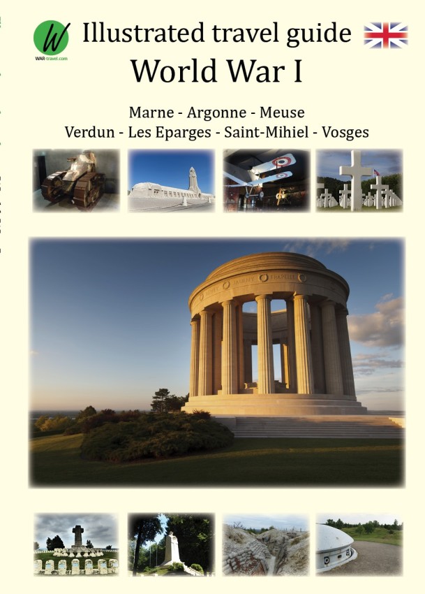
- Reisgids World War 1 north east - Eerste Wereldoorlog | War travel
- Marne - Argonne - Maas - Verdun - Les Eparges - Saint Mihiel - Vogezen Een zeer uitgebreide, royaal van foto's voorziene reisgids langs de 'bezienswaardigheden' van de 1e Wereldoorlog. Goede beschrijvingen en uitstekende kaarten waarmee je deze plekken kunt terugvinden in het veld. World War 1, also known as the Great War or ‘The War to End All... Read more

De Zwerver
Netherlands
2016
Netherlands
2016
- Reisgids 50 Bars to blow your mind | Lonely Planet
- Lonely Planet`s 50 Bars To Blow Your Mind handpicks the world`s most extraordinary drinking holes, from caverns and island party havens to a bar nestled in an ancient tree trunk. This pocket-sized gift book showcases 50 of the world`s best bars and is the perfect gift for anyone interested in the best places in the world for a drink. Whether... Read more

De Zwerver
Netherlands
2017
Netherlands
2017
- Reisgids - Emigratiegids Work Your Way Around the World | Trotman
- The Globetrotters Bible Read more

De Zwerver
Netherlands
2022
Netherlands
2022

De Zwerver
Netherlands
2019
Netherlands
2019
De Zwerver
Netherlands
2013
Netherlands
2013
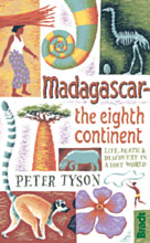
- Reisverhaal Madagascar - The Eighth Continent | Peter Tyson
- Madagascar: The Eighth Continent ab 12.99 EURO Life, Death and Discovery in a Lost World Read more

- Also available from:
- Stanfords, United Kingdom

Stanfords
United Kingdom
2019
United Kingdom
2019
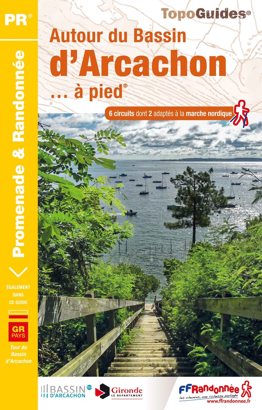
- Autour du Bassin d`Arcachon à pied
- Autour du Bassin d`Arcachon à pied, FFRP topoguide Ref. no. P331, with six local walks of varying length and difficulty, plus an 85km route around the basin. Each walk is presented on a separate colour extract from IGN’s topographic survey of France at 1:25,000, with its description cross-referenced to the map. Current edition of this title was... Read more

De Zwerver
Netherlands
2017
Netherlands
2017
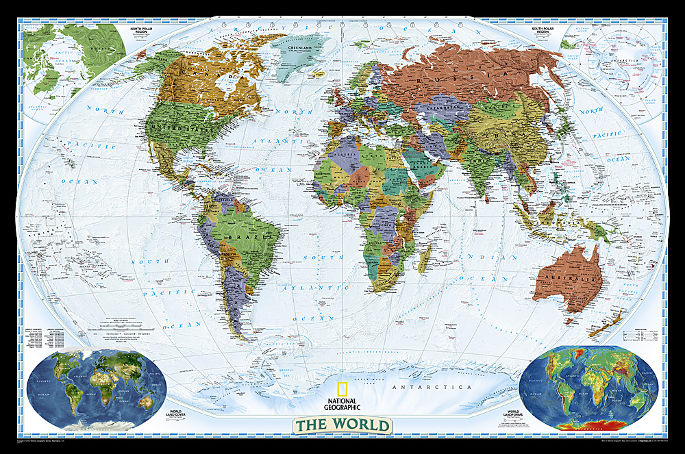
- Reisgids The World - alle landen | Lonely Planet
- Een bijzondere uitgave van Lonely Planet. Een reisgids voor de hele wereld met een luxe hardcover kaft. Hoogtepunten van alle landen van de wereld met een kleine kaart en geïllustreerd met foto's. Every country in the world, in one guidebook: The World: A Traveller’s Guide to the Planet. We've taken the highlights from the world's best... Read more
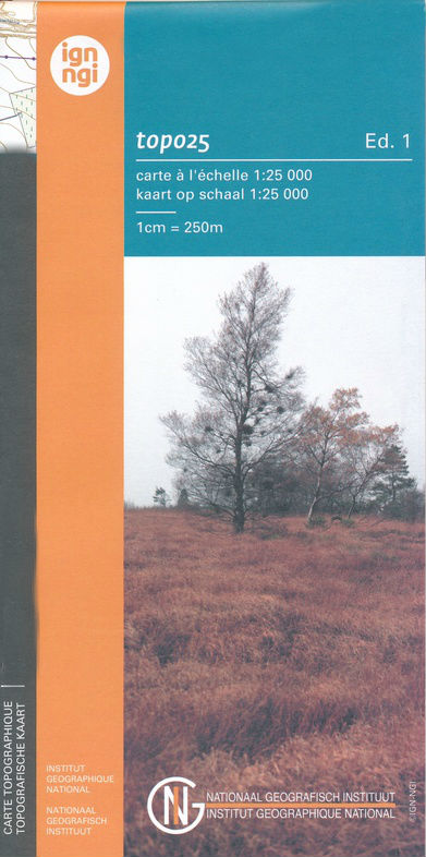
Kaarten
De Zwerver
Netherlands
Netherlands
- Also available from:
- Stanfords, United Kingdom

Stanfords
United Kingdom
United Kingdom
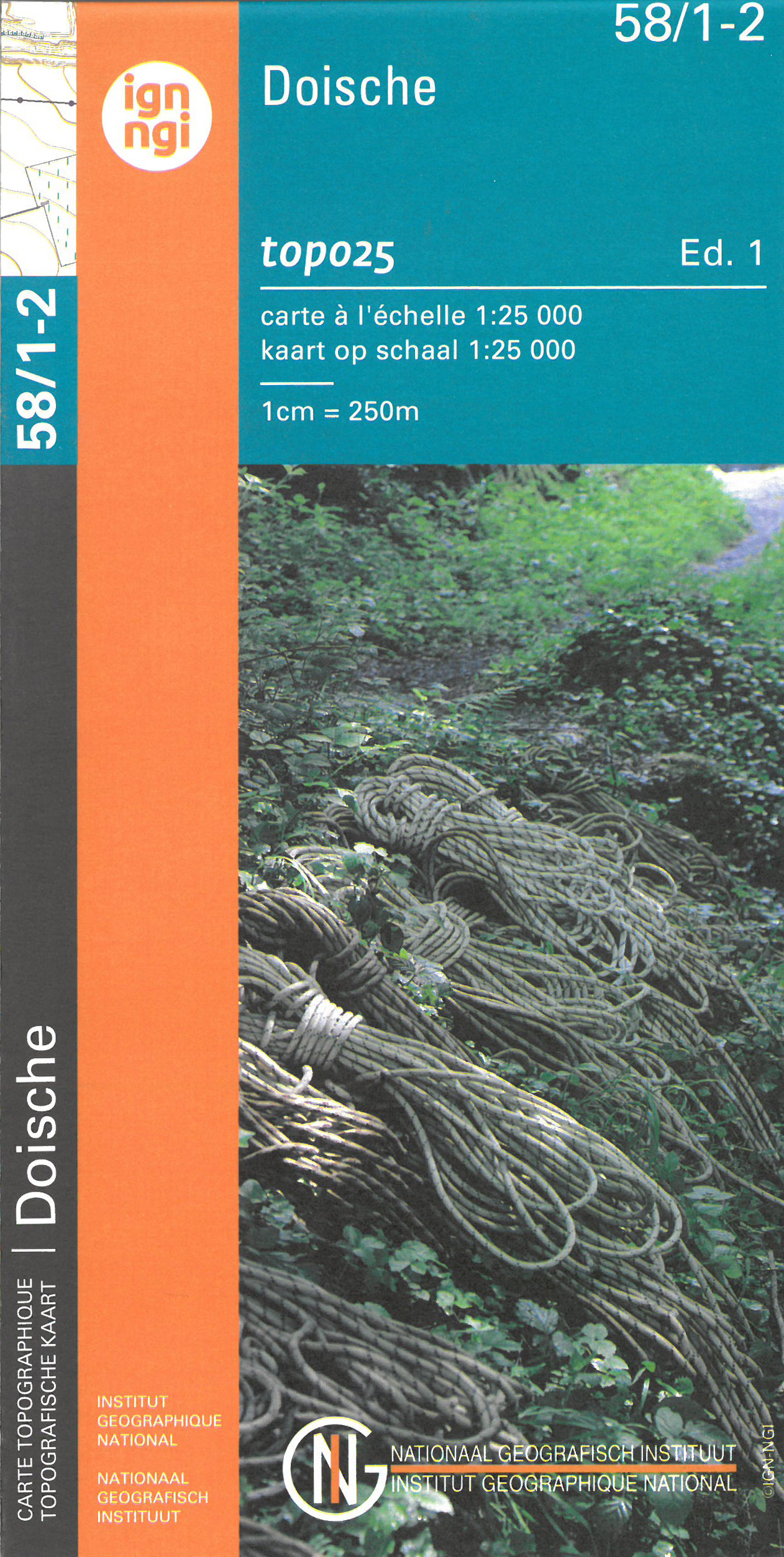
- Doische NGI Topo 58/1-2
- Topographical survey of Belgium at 1:20,000 from Nationaal Geografisch Instituut / Institut Géographique National, the country’s national survey organization. Each 20K map covers one quarter of the corresponding 1:50,000 map (with adjustments in the border and coastal areas). The maps provide all the information expected of topographic mapping... Read more
De Zwerver
Netherlands
Netherlands
- Also available from:
- Stanfords, United Kingdom

Stanfords
United Kingdom
United Kingdom
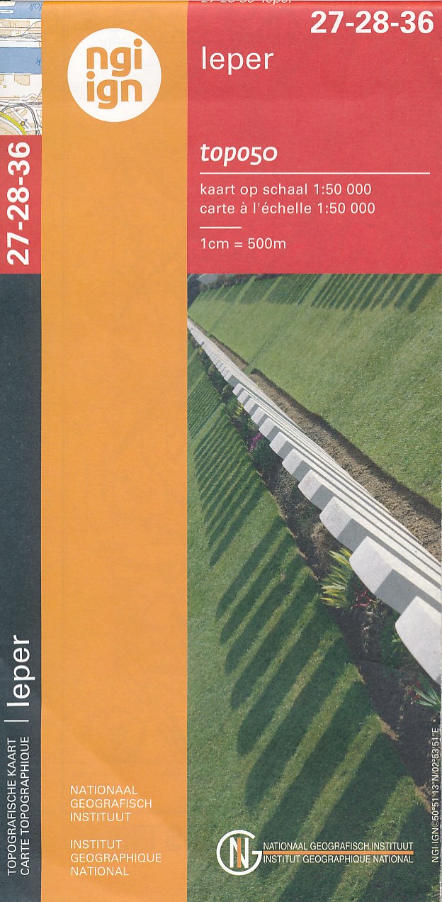
- Ieper NGI Topo 27-28-36 - WWI Ypres Salient Battlefields
- Ieper, map No. 27-28-36 in the topographic survey of Belgium at 1:50,000 covering the bulk of the Ypres Salient battleground of World War I. Coverage extends from the French border northwards to Passendale (Passchendaele) which is right at the top of the map, and includes Ploegstreet, Mesen (Messines), Zillebeke, Zonnebeke, Wijtschate... Read more
De Zwerver
Netherlands
Netherlands
- Also available from:
- Stanfords, United Kingdom
Stanfords
United Kingdom
United Kingdom
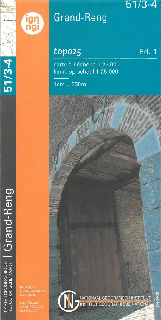
- Grand-Reng NGI Topo 51/3-4
- Topographical survey of Belgium at 1:20,000 from Nationaal Geografisch Instituut / Institut Géographique National, the country’s national survey organization. Each 20K map covers one quarter of the corresponding 1:50,000 map (with adjustments in the border and coastal areas). The maps provide all the information expected of topographic mapping... Read more
De Zwerver
Netherlands
Netherlands
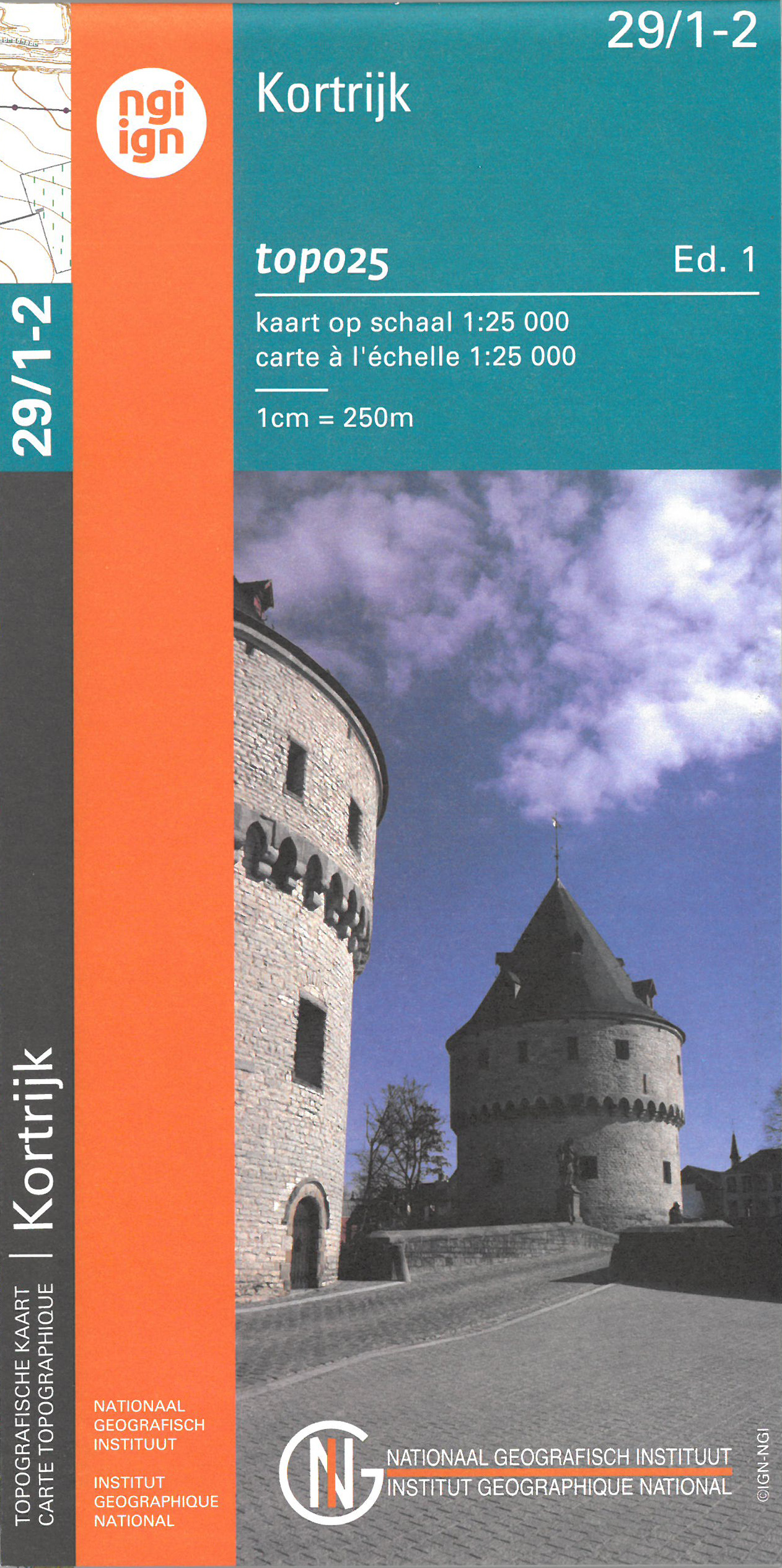
- Wandelkaart - Topografische kaart 29/1-2 Topo25 Kortrijk | NGI - Nationaal Geografisch Instituut
- Topographical survey of Belgium at 1:20,000 from Nationaal Geografisch Instituut / Institut Géographique National, the country’s national survey organization. Each 20K map covers one quarter of the corresponding 1:50,000 map (with adjustments in the border and coastal areas). The maps provide all the information expected of topographic mapping... Read more
- Also available from:
- Stanfords, United Kingdom

Stanfords
United Kingdom
United Kingdom
- Kortrijk NGITopo 29/1-2
- Topographical survey of Belgium at 1:20,000 from Nationaal Geografisch Instituut / Institut Géographique National, the country’s national survey organization. Each 20K map covers one quarter of the corresponding 1:50,000 map (with adjustments in the border and coastal areas). The maps provide all the information expected of topographic mapping... Read more
De Zwerver
Netherlands
Netherlands
- Also available from:
- Stanfords, United Kingdom

Stanfords
United Kingdom
United Kingdom
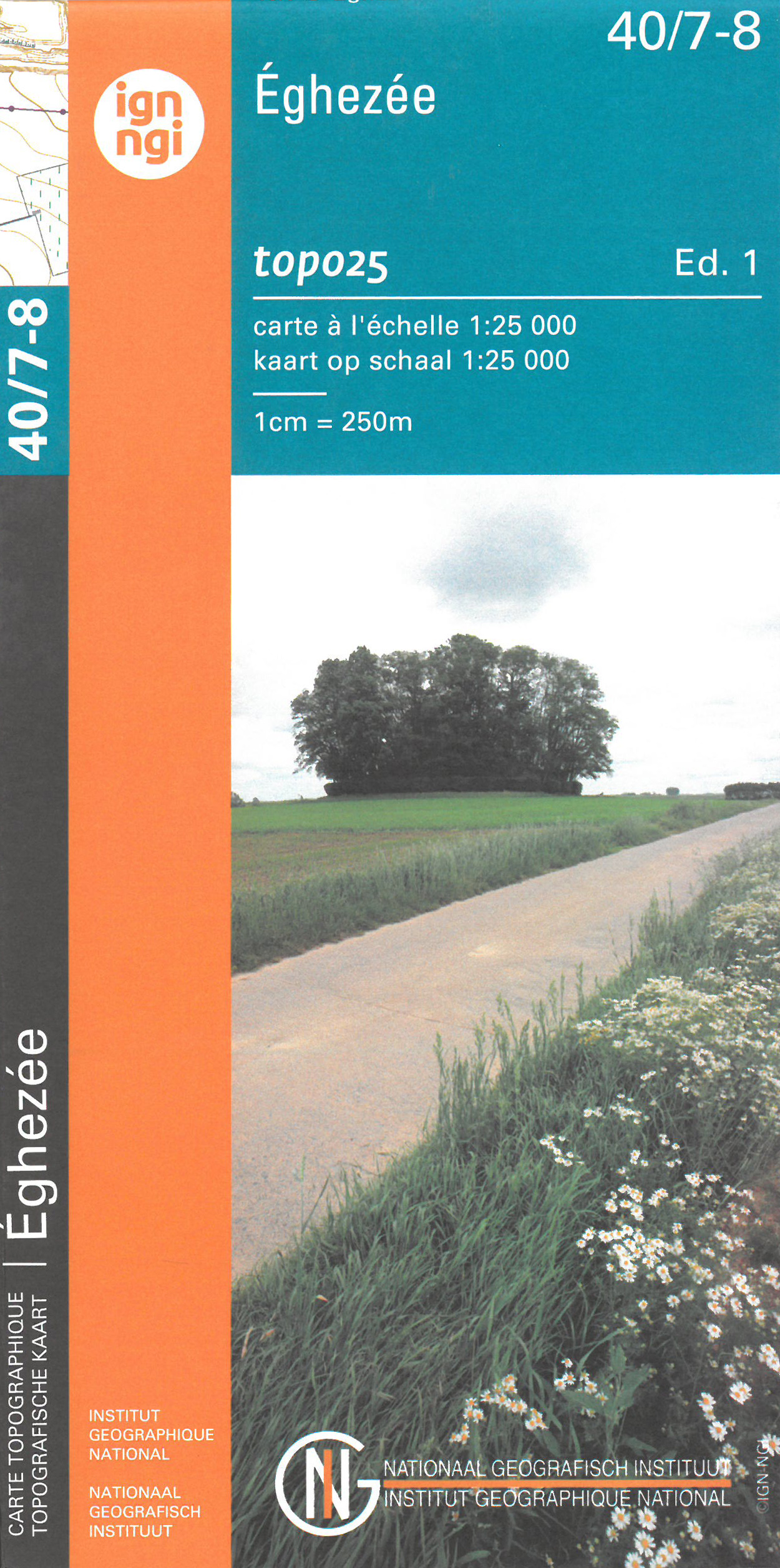
- Eghezee NGI Topo 40/7-8
- Topographical survey of Belgium at 1:20,000 from Nationaal Geografisch Instituut / Institut Géographique National, the country’s national survey organization. Each 20K map covers one quarter of the corresponding 1:50,000 map (with adjustments in the border and coastal areas). The maps provide all the information expected of topographic mapping... Read more
De Zwerver
Netherlands
Netherlands
- Also available from:
- Stanfords, United Kingdom

Stanfords
United Kingdom
United Kingdom
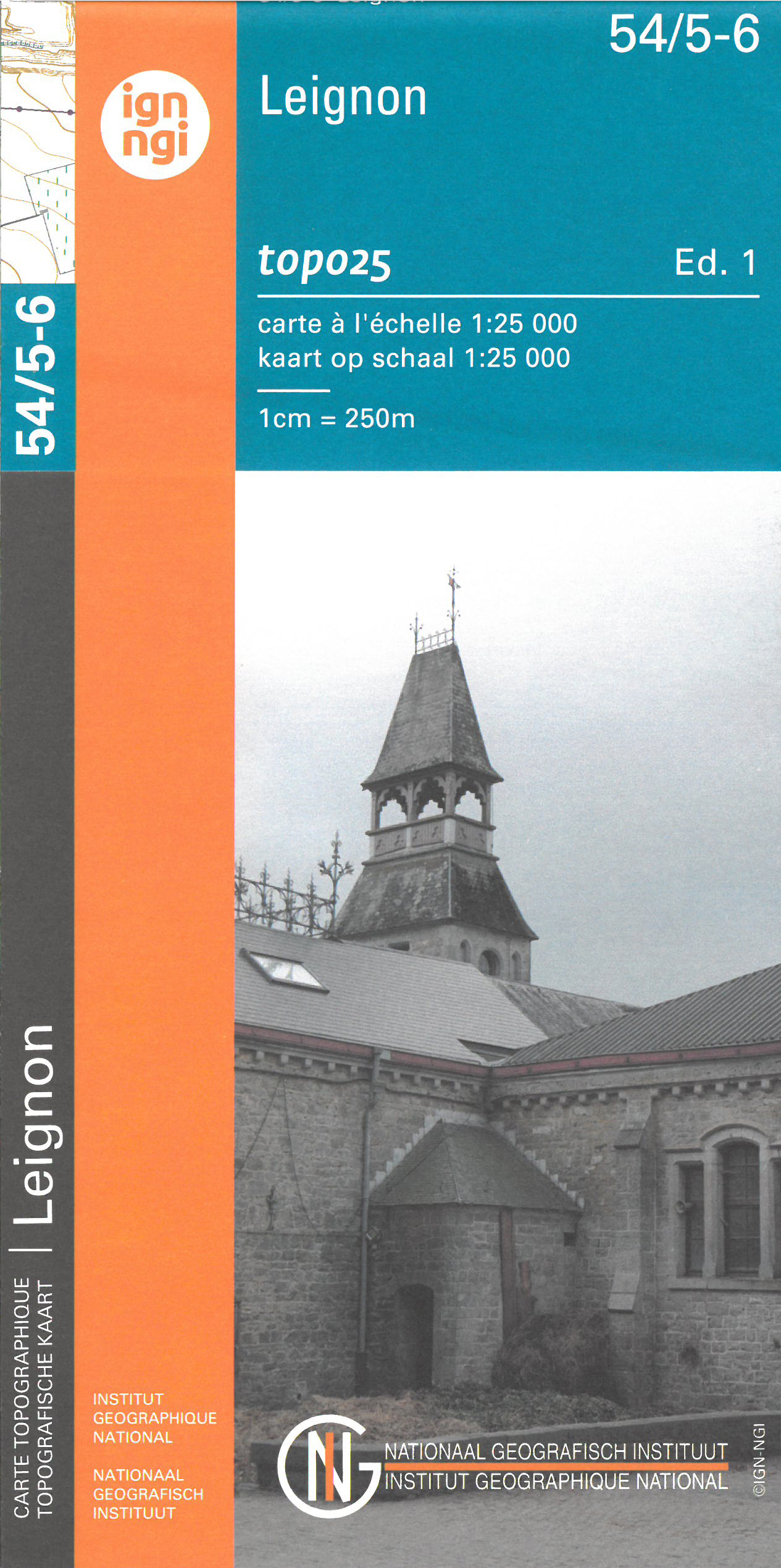
- Leignin NGI Topo 54/5-6
- Topographical survey of Belgium at 1:20,000 from Nationaal Geografisch Instituut / Institut Géographique National, the country’s national survey organization. Each 20K map covers one quarter of the corresponding 1:50,000 map (with adjustments in the border and coastal areas). The maps provide all the information expected of topographic mapping... Read more
De Zwerver
Netherlands
Netherlands
- Also available from:
- Stanfords, United Kingdom
Stanfords
United Kingdom
United Kingdom
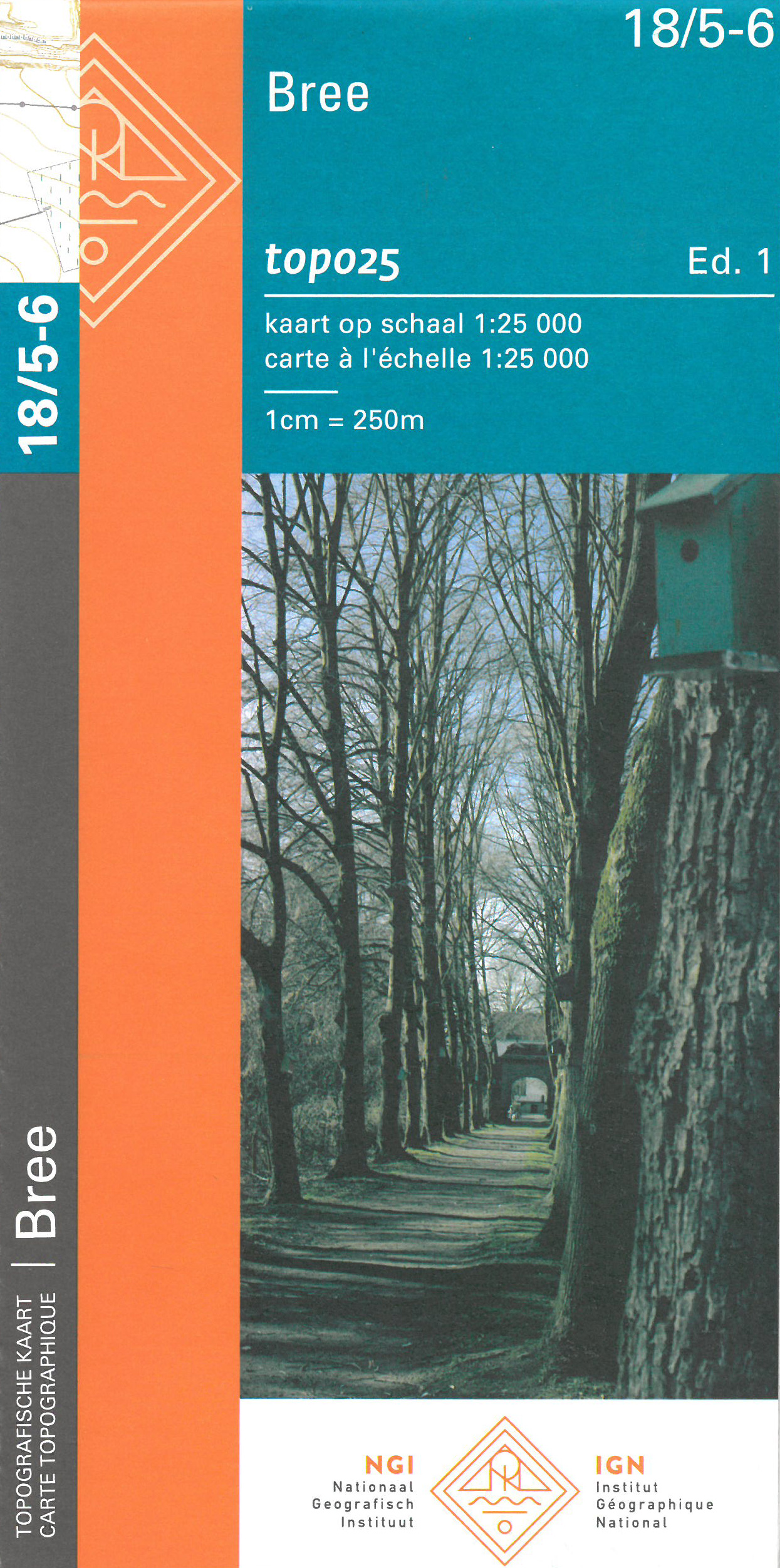
- Bree NGI Topo 18/5-6
- Topographical survey of Belgium at 1:20,000 from Nationaal Geografisch Instituut / Institut Géographique National, the country’s national survey organization. Each 20K map covers one quarter of the corresponding 1:50,000 map (with adjustments in the border and coastal areas). The maps provide all the information expected of topographic mapping... Read more
De Zwerver
Netherlands
Netherlands
- Also available from:
- Stanfords, United Kingdom

Stanfords
United Kingdom
United Kingdom
- Hoogstraten NGI Topo 08/1-2
- Topographical survey of Belgium at 1:20,000 from Nationaal Geografisch Instituut / Institut Géographique National, the country’s national survey organization. Each 20K map covers one quarter of the corresponding 1:50,000 map (with adjustments in the border and coastal areas). The maps provide all the information expected of topographic mapping... Read more
De Zwerver
Netherlands
Netherlands
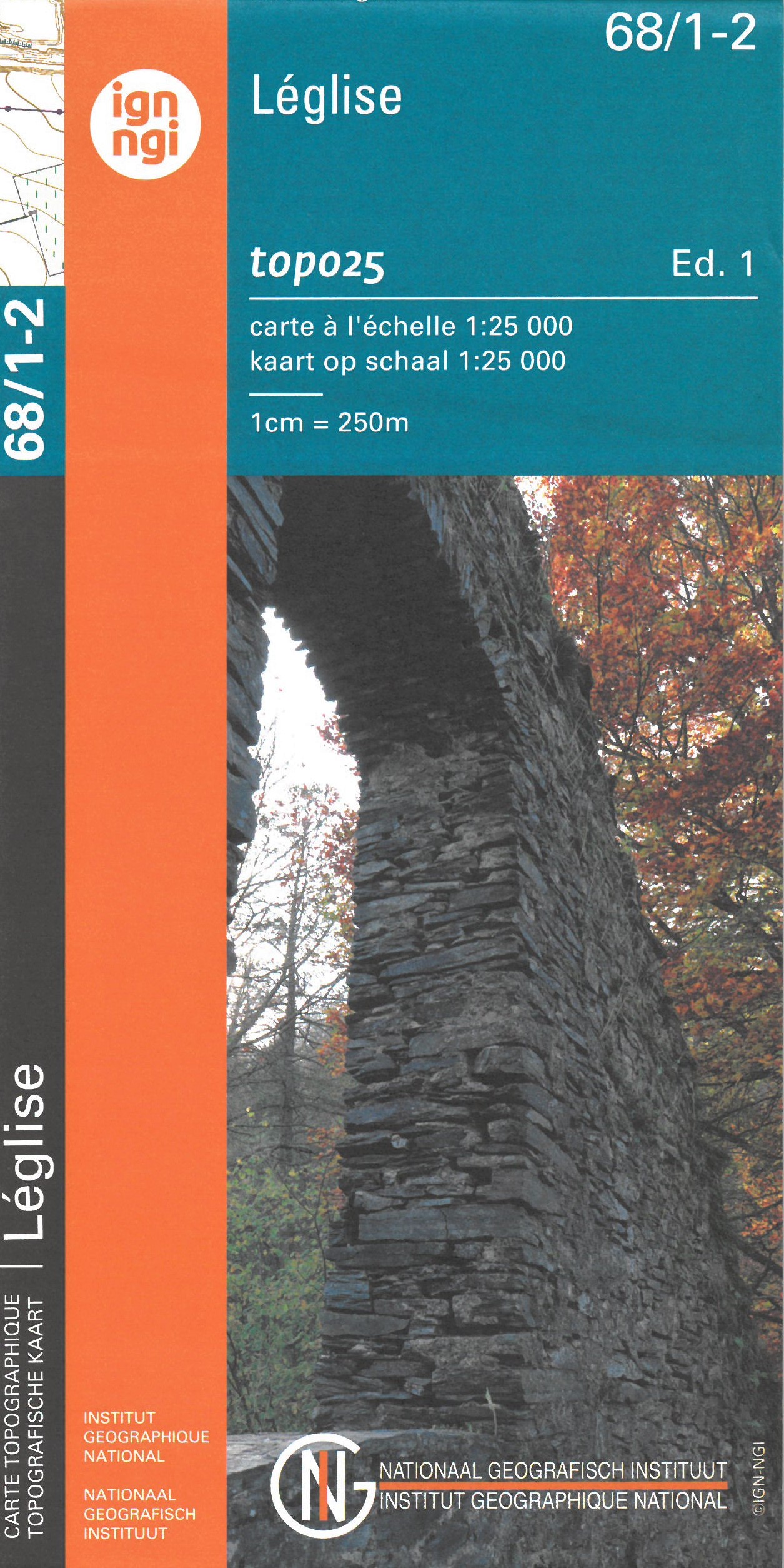
- Topografische kaart - Wandelkaart 68/1-2 Topo25 Leglise | NGI - Nationaal Geografisch Instituut
- Topographical survey of Belgium at 1:20,000 from Nationaal Geografisch Instituut / Institut Géographique National, the country’s national survey organization. Each 20K map covers one quarter of the corresponding 1:50,000 map (with adjustments in the border and coastal areas). The maps provide all the information expected of topographic mapping... Read more
- Also available from:
- Stanfords, United Kingdom

Stanfords
United Kingdom
United Kingdom
- Leglise NGI Topo 68/1-2
- Topographical survey of Belgium at 1:20,000 from Nationaal Geografisch Instituut / Institut Géographique National, the country’s national survey organization. Each 20K map covers one quarter of the corresponding 1:50,000 map (with adjustments in the border and coastal areas). The maps provide all the information expected of topographic mapping... Read more
De Zwerver
Netherlands
Netherlands
- Also available from:
- Stanfords, United Kingdom
Stanfords
United Kingdom
United Kingdom
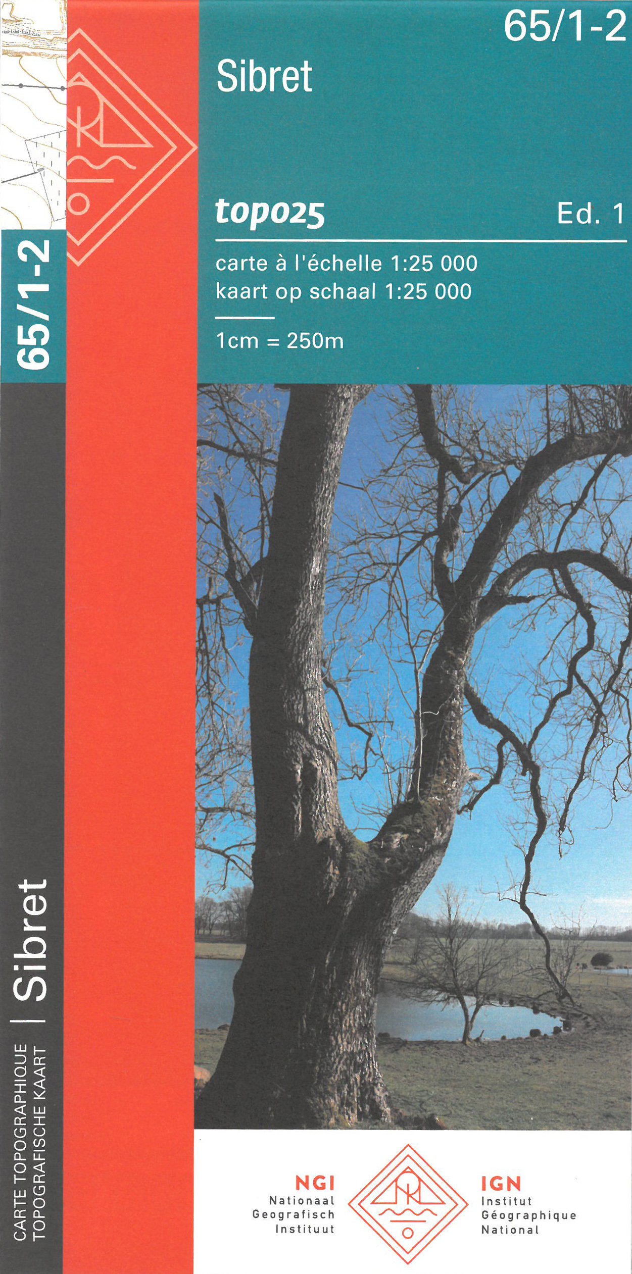
- Sibret NGI Topo 65/1-2
- Topographical survey of Belgium at 1:20,000 from Nationaal Geografisch Instituut / Institut Géographique National, the country’s national survey organization. Each 20K map covers one quarter of the corresponding 1:50,000 map (with adjustments in the border and coastal areas). The maps provide all the information expected of topographic mapping... Read more
De Zwerver
Netherlands
Netherlands
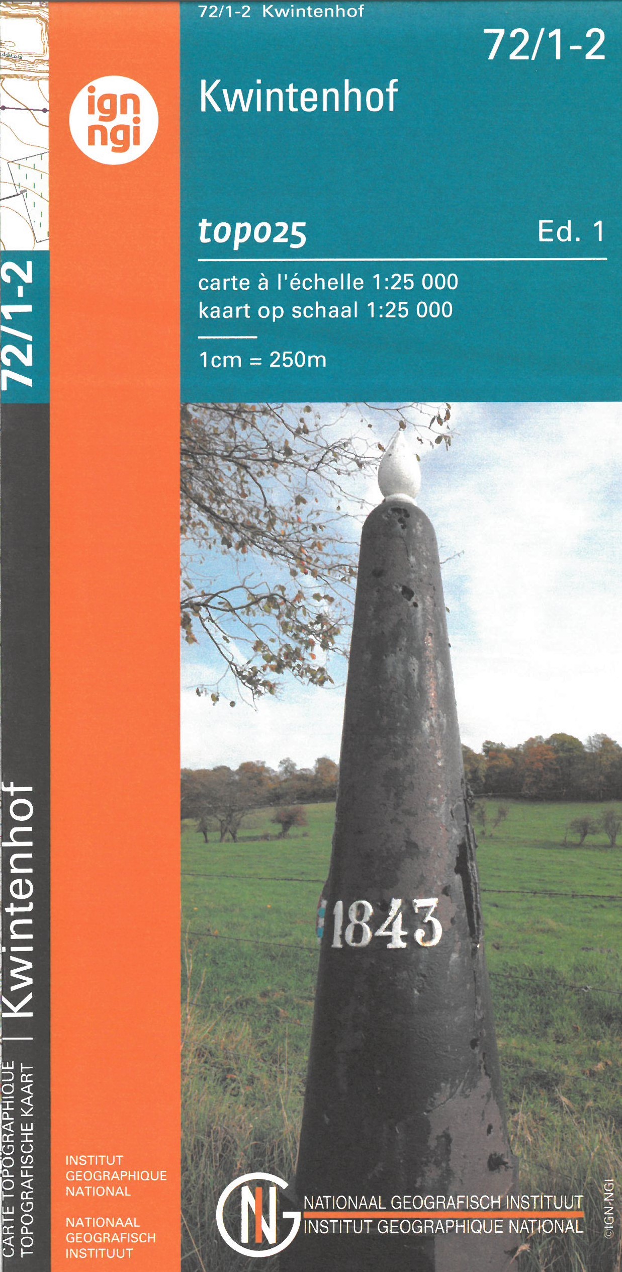
- Wandelkaart - Topografische kaart 72/1-2 Topo25 Kwintenhof | NGI - Nationaal Geografisch Instituut
- Topographical survey of Belgium at 1:20,000 from Nationaal Geografisch Instituut / Institut Géographique National, the country’s national survey organization. Each 20K map covers one quarter of the corresponding 1:50,000 map (with adjustments in the border and coastal areas). The maps provide all the information expected of topographic mapping... Read more
- Also available from:
- Stanfords, United Kingdom

Stanfords
United Kingdom
United Kingdom
- Kwintenhof NGI Topo 72/1-2
- Topographical survey of Belgium at 1:20,000 from Nationaal Geografisch Instituut / Institut Géographique National, the country’s national survey organization. Each 20K map covers one quarter of the corresponding 1:50,000 map (with adjustments in the border and coastal areas). The maps provide all the information expected of topographic mapping... Read more
De Zwerver
Netherlands
Netherlands
- Also available from:
- Stanfords, United Kingdom
Stanfords
United Kingdom
United Kingdom
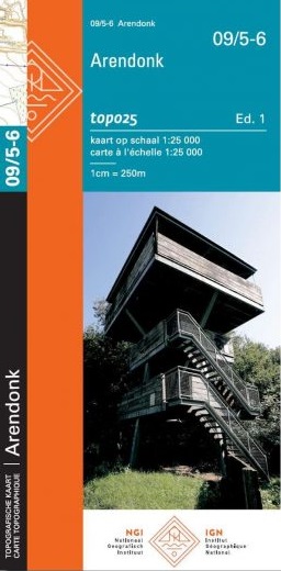
- Arendonk NGI Topo 09/5-6
- Topographical survey of Belgium at 1:20,000 from Nationaal Geografisch Instituut / Institut Géographique National, the country’s national survey organization. Each 20K map covers one quarter of the corresponding 1:50,000 map (with adjustments in the border and coastal areas). The maps provide all the information expected of topographic mapping... Read more