De Zwerver
Netherlands
2008
De Zwerver
Netherlands
2023
De Zwerver
Netherlands
2019
De Zwerver
Netherlands
2022
De Zwerver
Netherlands
» Click to open
Stanfords
United Kingdom
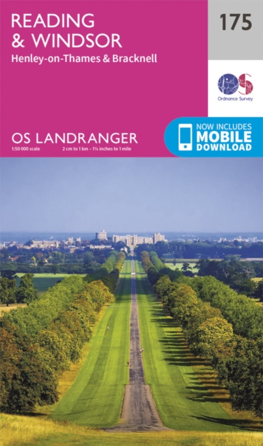
  • Reading & Windsor - Henley-on-Thames & Bracknell OS Landranger Map 175 (paper)
  • Reading – Windsor area, including a section of the Thames Path / E2 European Long-distance Path, on a paper version of map No. 175 from the Ordnance Survey’s Landranger series at 1:50,000, with contoured and GPS compatible topographic mapping plus tourist information.MOBILE DOWNLOADS: As well as the physical edition of the map, each Landranger... Read more
» Click to close
De Zwerver
Netherlands
» Click to open
Stanfords
United Kingdom
  • Birmingham, Wolverhampton & The Black Country OS Landranger Map 139 (paper)
  • Birmingham with the surrounding area including the Black Country, Wolverhampton, Walsall, Solihull, Stourbridge, Bromsgrove and a section of the E2 European Long-distance Path on a paper version of map No. 139 from the Ordnance Survey’s Landranger series at 1:50,000, with contoured and GPS compatible topographic mapping plus tourist... Read more
» Click to close
De Zwerver
Netherlands
» Click to open
Stanfords
United Kingdom
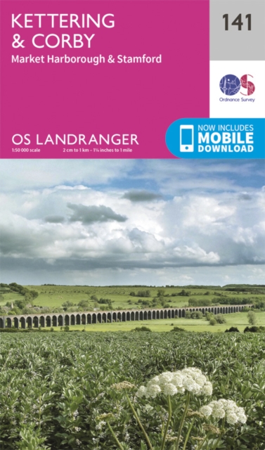
  • Kettering, Corby, Market Harborough & Stamford OS Landranger Map 141 (paper)
  • The area around Kettering, Corby, Market Harborough and Stamford, including Rockingham Forest and part of the E2 European Long-distance Path, on a paper version of map No. 141 from the Ordnance Survey’s Landranger series at 1:50,000, with contoured and GPS compatible topographic mapping plus tourist information.MOBILE DOWNLOADS: As well as the... Read more
» Click to close
De Zwerver
Netherlands
Bol.com
Netherlands
» Click to open
Bol.com
Belgium
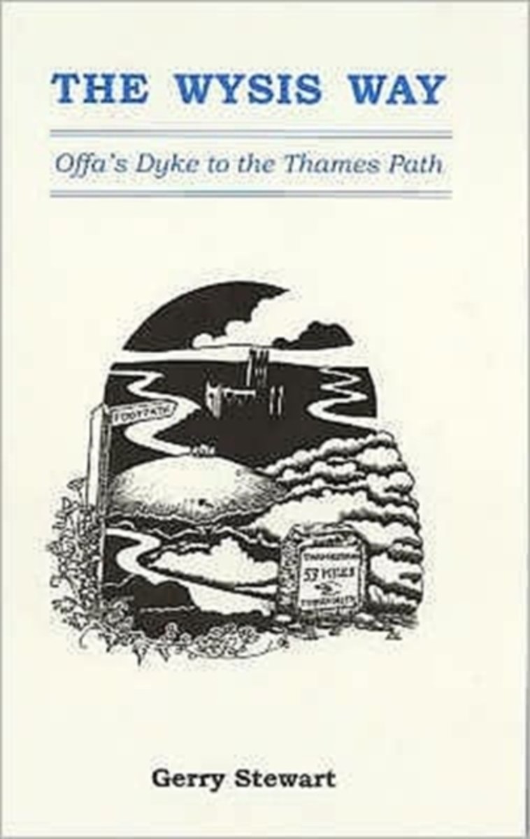
  • The Wysis Way
  • A walk of 55 miles through Gloucestershire between the rivers Wye, Severn & Thames, and linking two national trails, the Offa's Dyke Path & The Thames Path.From the Wye bridge at Monmouth the Wysis Way follows Offa's Dyke Path up to the Kymin before striking off eastwards through the Forest of Dean to the prominence of May Hill where the view... Read more
» Click to close
De Zwerver
Netherlands
2017
» Click to open
Bol.com
Netherlands
2017
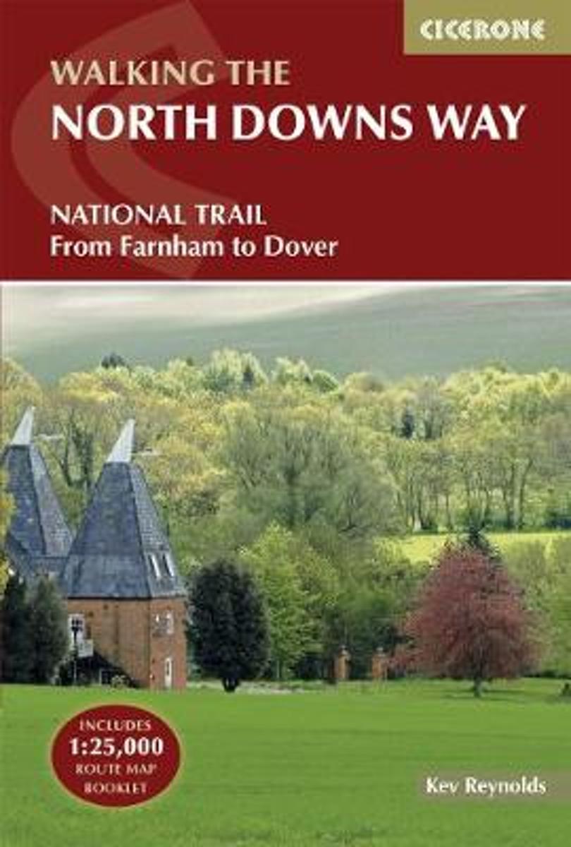
  • The North Downs Way
  • The North Downs Way National Trail is a 130 mile (208km) between the high downland of Farnham and the historic city of Dover on the Kent coast. The route is described in 11 day stages from west to east with an optional detour via Canterbury. Step-by-step route descriptions are fully illustrated with colour photographs and extracts from OS... Read more
Bol.com
Belgium
2017
  • The North Downs Way
  • The North Downs Way National Trail is a 130 mile (208km) between the high downland of Farnham and the historic city of Dover on the Kent coast. The route is described in 11 day stages from west to east with an optional detour via Canterbury. Step-by-step route descriptions are fully illustrated with colour photographs and extracts from OS... Read more
Stanfords
United Kingdom
2017
  • The North Downs Way
  • A guidebook to walking the North Downs Way National Trail, a 130 mile (208km) walk between the high downland of Farnham and the historic city of Dover on the Kent coast, with an optional visit to Canterbury. The route is described in 11 stages, and is fully illustrated with colour photographs and OS map extracts. The North Downs Way is one of... Read more
The Book Depository
United Kingdom
2017
» Click to close
Bol.com
Netherlands
» Click to open
Bol.com
Belgium
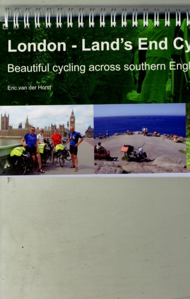
  • London - Land's End Cycle Route
  • This king of guidebooks takes you onto a unique trail of traffic-calmed cycle routes in southern England from London to Land's End; ideal if you love cycling, but don't like traffic! A variety of landscapes, a high density of famous English landmarks and word-class cycle routes like the Bristol and Bath Railway Path, Camel Trail, Devon Coast to... Read more
» Click to close
Bol.com
Netherlands
2015
» Click to open
Bol.com
Belgium
2015
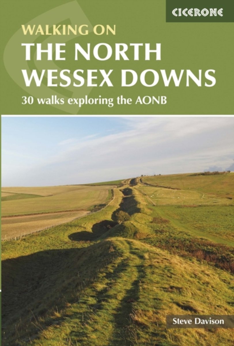
  • Walking in the North Wessex Downs
  • Guidebook to 30 circular day walks in the North Wessex Downs Area of Outstanding Natural Beauty (AONB). The routes, which range from 4 to 13 miles long take in parts of four counties - Berkshire, Hampshire, Wiltshire and Oxfordshire. The walks allow you to explore parts of the Ridgeway National Trail, the Kennet and Avon Canal and stunning... Read more
» Click to close
Bol.com
Netherlands
2018
» Click to open
Bol.com
Belgium
2018
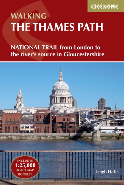
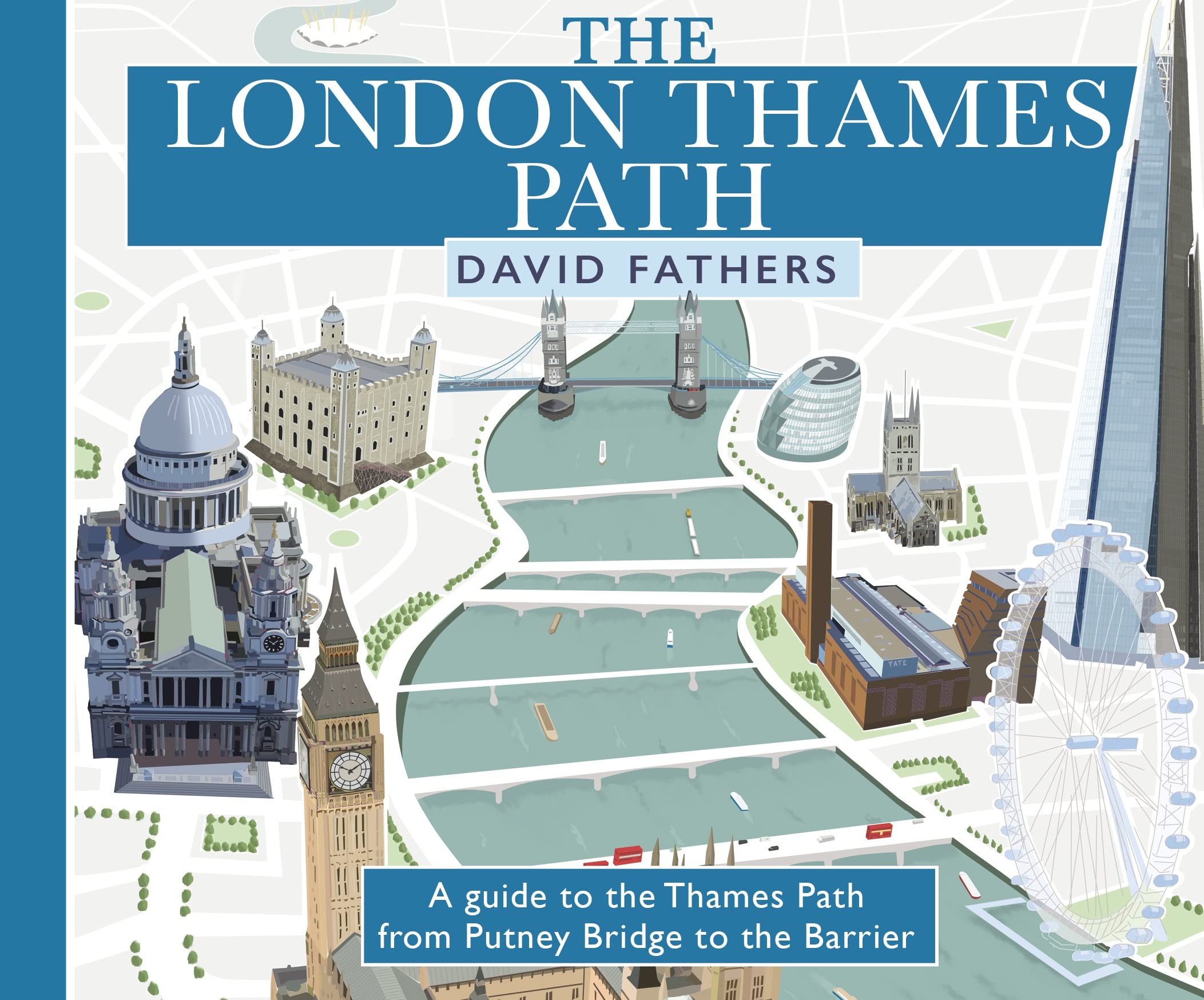
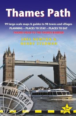
  • Thames Path
  • Practical, all-in-one guide to walking the Thames Path National Trail from the Costwolds to the Thames Barrier in London, including large-scale trail maps, places to stay, places to eat and public transport information. The Thames Path's National Trail runs for 184 miles (294km) from the river's source at Thames Head near Kemble in the... Read more
Stanfords
United Kingdom
2018
  • Thames Path: Thames Head to the Thames Barrier (London)
  • Practical, all-in-one guide to walking the Thames Path National Trail from the Costwolds to the Thames Barrier in London, including large-scale trail maps, places to stay, places to eat and public transport information. The Thames Path`s National Trail runs for 184 miles (294km) from the river`s source at Thames Head near Kemble in the... Read more
» Click to close
Bol.com
Netherlands
» Click to open
Bol.com
Belgium
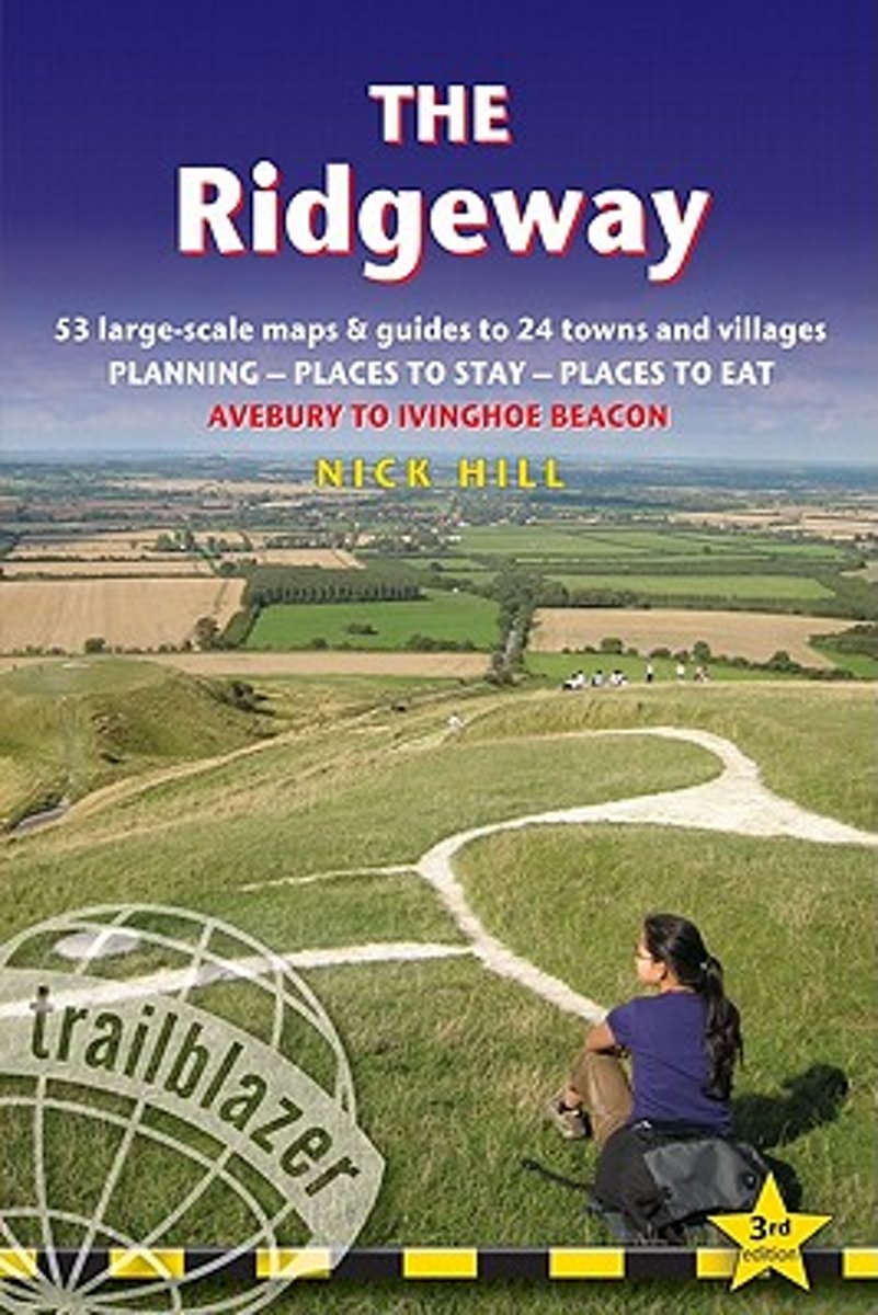
  • Trailblazer The Ridgeway
  • Practical guide to walking the whole of the Ridgeway National Trail. The Ridgeway path begins near Avebury and runs 87 miles across the high chalk downs of Wiltshire, into the Thames Valley and on to the Chiltern Hills of Buckinghamshire, finishing at Ivinghoe Beacon near Aylesbury. Includes: Ridgeway map, 53 large-scale maps (1:20,000), guides... Read more
» Click to close
De Zwerver
Netherlands
2016
» Click to open
Bol.com
Netherlands
2016
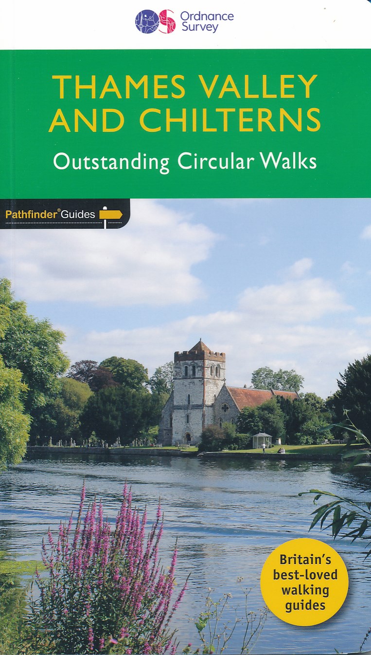
  • Thames Valley & Chilterns
  • The Chilterns form part of the long line of chalk hills stretching intermittently across southern and eastern England. It is an area characterised by beech woods and dry valleys, and these natural features are explored in the routes. The Thames Valley is steeped in history, from Windsor Castle and Richmond Park to Runnymede Meadows, where the... Read more
Bol.com
Belgium
2016
  • Thames Valley & Chilterns
  • The Chilterns form part of the long line of chalk hills stretching intermittently across southern and eastern England. It is an area characterised by beech woods and dry valleys, and these natural features are explored in the routes. The Thames Valley is steeped in history, from Windsor Castle and Richmond Park to Runnymede Meadows, where the... Read more
The Book Depository
United Kingdom
2016
  • Thames Valley & Chilterns
  • The Chilterns form part of the long line of chalk hills stretching intermittently across southern and eastern England. It is an area characterised by beech woods and dry valleys, and these natural features are explored in the routes. The Thames Valley is steeped in history, from Windsor Castle and Richmond Park to Runnymede Meadows, where the... Read more
» Click to close