De Zwerver
Netherlands
2024
De Zwerver
Netherlands
2023
De Zwerver
Netherlands
2016
» Click to open
Stanfords
United Kingdom
2016
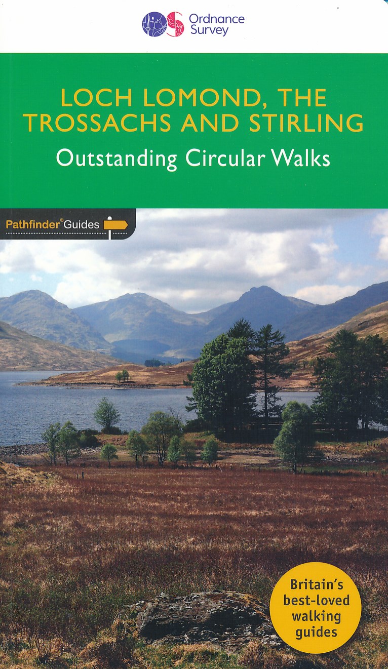
  • Loch Lomond, The Trossachs: 2016
  • The walks in this guide introduce the many facets of the Southern Highlands and range from easy loch-side strolls to strenuous expeditions onto some of the area`s highest mountains. Walking in Scotland is quite different from walking south of the border. In England there are only eight summits that top 3000 ft, while in Scotland there are 277,... Read more
» Click to close
De Zwerver
Netherlands
2021
De Zwerver
Netherlands
2021
» Click to open
Stanfords
United Kingdom
2021
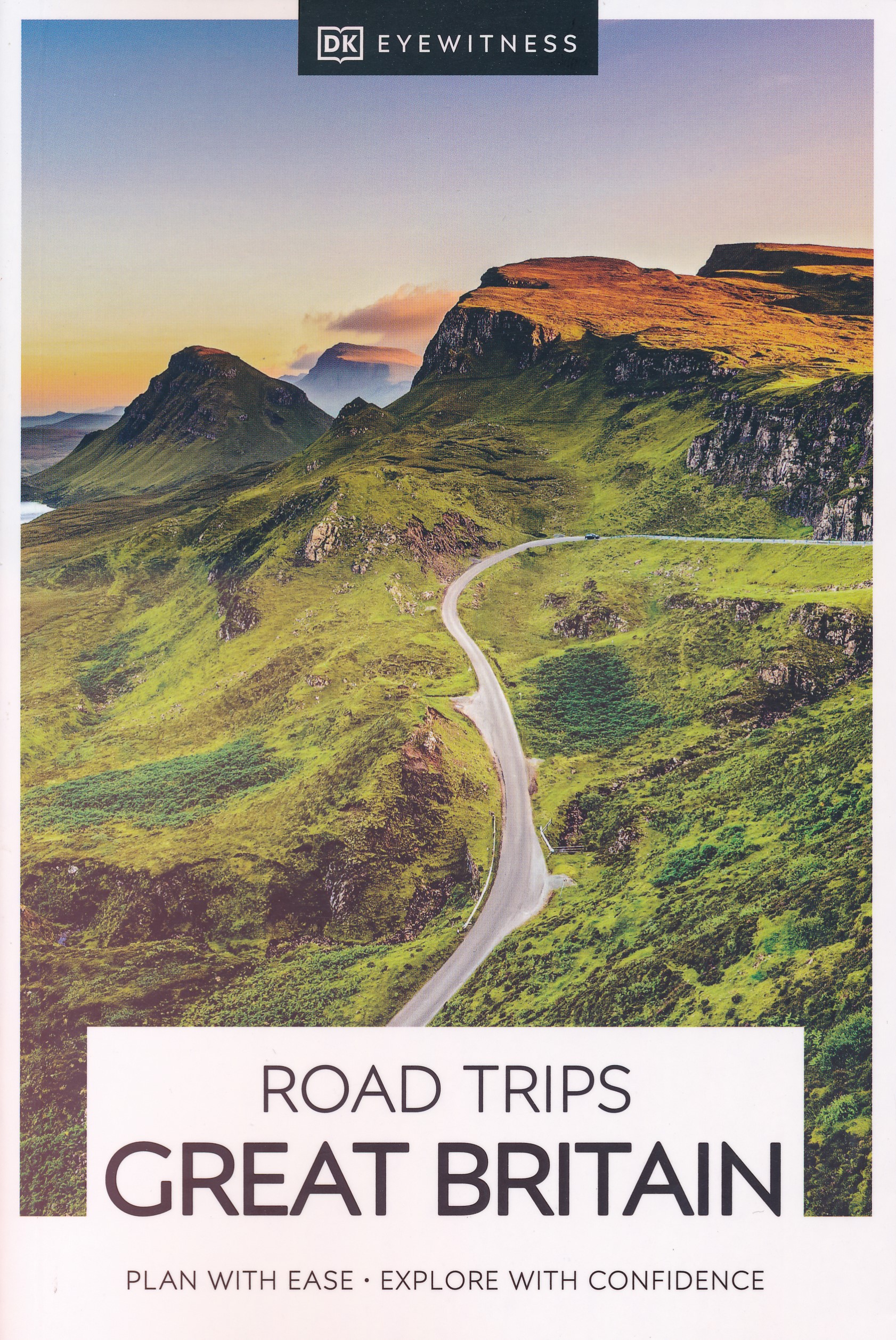
  • DK Eyewitness Road Trips Great Britain
  • With its idyllic market towns, romantic castle ruins and stunning natural landscapes, Great Britain is the perfect destination for a leisurely road trip. It`s yours to explore with Road Trips Great Britain, which contains 25 drives across the country, from the sweeping sandy beaches of Cornwall to the dramatic peaks of the Scottish... Read more
» Click to close
De Zwerver
Netherlands
2023
De Zwerver
Netherlands
2020
De Zwerver
Netherlands
» Click to open
Stanfords
United Kingdom
  • Reading & Windsor - Henley-on-Thames & Bracknell OS Landranger Map 175 (paper)
  • Reading – Windsor area, including a section of the Thames Path / E2 European Long-distance Path, on a paper version of map No. 175 from the Ordnance Survey’s Landranger series at 1:50,000, with contoured and GPS compatible topographic mapping plus tourist information.MOBILE DOWNLOADS: As well as the physical edition of the map, each Landranger... Read more
» Click to close
De Zwerver
Netherlands
2015
» Click to open
Stanfords
United Kingdom
2015
» Click to close
De Zwerver
Netherlands
» Click to open
Stanfords
United Kingdom
  • Birmingham, Wolverhampton & The Black Country OS Landranger Map 139 (paper)
  • Birmingham with the surrounding area including the Black Country, Wolverhampton, Walsall, Solihull, Stourbridge, Bromsgrove and a section of the E2 European Long-distance Path on a paper version of map No. 139 from the Ordnance Survey’s Landranger series at 1:50,000, with contoured and GPS compatible topographic mapping plus tourist... Read more
» Click to close
De Zwerver
Netherlands
2016
» Click to open
Stanfords
United Kingdom
2016
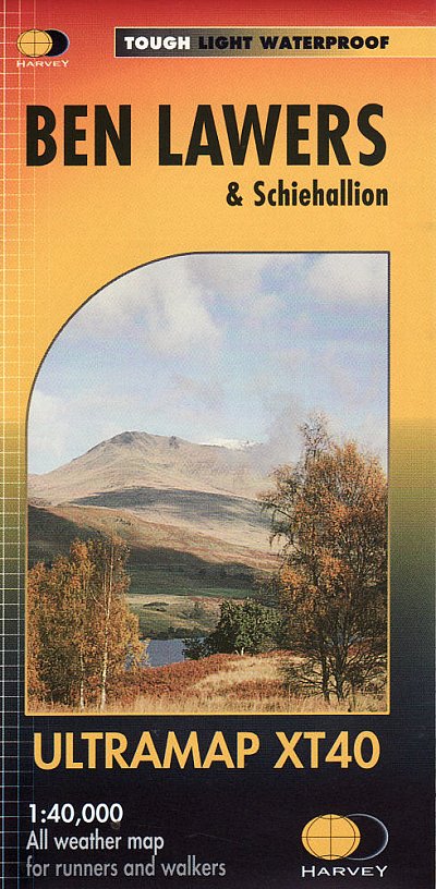
  • Ben Lawers & Schiehallion Harvey Ultramap XT40
  • Ben Lawers area of the Scottish Highlands with the peak of Schiehallion at 1:40,000 on a waterproof and tear-resistant, pocket-size Ultramap from Harvey Map Services with the same cartography as their Superwalker map of this area. The map is double-sided, with a small overlap between the sides, and coverage extends from Kinloch Rannoch and Loch... Read more
» Click to close
De Zwerver
Netherlands
» Click to open
Stanfords
United Kingdom
» Click to close
De Zwerver
Netherlands
» Click to open
Stanfords
United Kingdom
  • MacGillycuddy`s Reeks Harvey Superwalker XT30
  • Includes the whole of the Killarney National Park.Detailed map for hillwalkers of MacGillycuddy`s Reeks at 1:30,000 scale.Summit enlargement of Carrauntoohil at 1:15,000.Shows tracks, paths and cliffs in detail. As used by Mountain Rescue Ireland.PLEASE NOTE: this title is also available as a pocket-size Ultramap with its scale reduced to... Read more
» Click to close
De Zwerver
Netherlands
2016
» Click to open
Stanfords
United Kingdom
2016
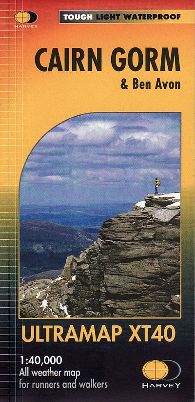
  • Cairn Gorm & Ben Avon Harvey Ultramap XT40
  • Cairn Gorm and Ben Avon area in the heart of the Scottish Highlands at 1:40,000 on a waterproof and tear-resistant, pocket-size Ultramap from Harvey Map Services with the same cartography as their Superwalker map of the area. The peak of Cairn Gorm is on the eastern side of the map, with coverage extending north to Glanmore and the outskirts of... Read more
» Click to close
De Zwerver
Netherlands
» Click to open
Stanfords
United Kingdom
  • Kettering, Corby, Market Harborough & Stamford OS Landranger Map 141 (paper)
  • The area around Kettering, Corby, Market Harborough and Stamford, including Rockingham Forest and part of the E2 European Long-distance Path, on a paper version of map No. 141 from the Ordnance Survey’s Landranger series at 1:50,000, with contoured and GPS compatible topographic mapping plus tourist information.MOBILE DOWNLOADS: As well as the... Read more
» Click to close