De Zwerver
Netherlands
2022
De Zwerver
Netherlands
2008
De Zwerver
Netherlands
2021
» Click to open
Stanfords
United Kingdom
2021
  • Walking in the North Wessex Downs: 30 walks exploring the AONB
  • Guidebook to 30 circular walks in the North Wessex Downs Area of Outstanding Natural Beauty (AONB). The routes, which range from 7 to 21km (4 to 13 miles), take in parts of four counties - Berkshire, Hampshire, Wiltshire and Oxfordshire.The North Wessex Downs are accessible hills rising above the towns and rural plains of southern England and... Read more
» Click to close
De Zwerver
Netherlands
2023
De Zwerver
Netherlands
2019
De Zwerver
Netherlands
De Zwerver
Netherlands
» Click to open
Stanfords
United Kingdom
  • Birmingham, Wolverhampton & The Black Country OS Landranger Map 139 (paper)
  • Birmingham with the surrounding area including the Black Country, Wolverhampton, Walsall, Solihull, Stourbridge, Bromsgrove and a section of the E2 European Long-distance Path on a paper version of map No. 139 from the Ordnance Survey’s Landranger series at 1:50,000, with contoured and GPS compatible topographic mapping plus tourist... Read more
» Click to close
De Zwerver
Netherlands
» Click to open
Stanfords
United Kingdom
  • Kettering, Corby, Market Harborough & Stamford OS Landranger Map 141 (paper)
  • The area around Kettering, Corby, Market Harborough and Stamford, including Rockingham Forest and part of the E2 European Long-distance Path, on a paper version of map No. 141 from the Ordnance Survey’s Landranger series at 1:50,000, with contoured and GPS compatible topographic mapping plus tourist information.MOBILE DOWNLOADS: As well as the... Read more
» Click to close
De Zwerver
Netherlands
» Click to open
Stanfords
United Kingdom
  • Aylesbury, Leighton Buzzard, Thame & Berkhamsted OS Landranger Map 165 (paper)
  • Aylesbury, Leighton Buzzard and Thame area, including Chiltern Hills with part of the Ridgeway, on a paper version of map No. 165 from the Ordnance Survey’s Landranger series at 1:50,000, with contoured and GPS compatible topographic mapping plus tourist information.MOBILE DOWNLOADS: As well as the physical edition of the map, each Landranger... Read more
» Click to close
De Zwerver
Netherlands
» Click to open
Stanfords
United Kingdom
  • Reading & Windsor - Henley-on-Thames & Bracknell OS Landranger Map 175 (paper)
  • Reading – Windsor area, including a section of the Thames Path / E2 European Long-distance Path, on a paper version of map No. 175 from the Ordnance Survey’s Landranger series at 1:50,000, with contoured and GPS compatible topographic mapping plus tourist information.MOBILE DOWNLOADS: As well as the physical edition of the map, each Landranger... Read more
» Click to close
Bol.com
Netherlands
» Click to open
Bol.com
Belgium
  • Trailblazer The Ridgeway
  • Practical guide to walking the whole of the Ridgeway National Trail. The Ridgeway path begins near Avebury and runs 87 miles across the high chalk downs of Wiltshire, into the Thames Valley and on to the Chiltern Hills of Buckinghamshire, finishing at Ivinghoe Beacon near Aylesbury. Includes: Ridgeway map, 53 large-scale maps (1:20,000), guides... Read more
» Click to close
De Zwerver
Netherlands
2016
» Click to open
Bol.com
Netherlands
2016
  • The Kennet and Avon Canal
  • This guidebook to walking along the Kennet & Avon Canal covers the 94 mile (152km) route from Reading to Bristol. The canal walk is split into 7 stages of fairly easy, level walking, of between 9¾ and 18½ miles, with advice on splitting on shortening the stages if needed. The book also includes 20 easy circular walks, ranging from 4¼ to 9... Read more
Bol.com
Belgium
2016
  • The Kennet and Avon Canal
  • This guidebook to walking along the Kennet & Avon Canal covers the 94 mile (152km) route from Reading to Bristol. The canal walk is split into 7 stages of fairly easy, level walking, of between 9¾ and 18½ miles, with advice on splitting on shortening the stages if needed. The book also includes 20 easy circular walks, ranging from 4¼ to 9... Read more
Stanfords
United Kingdom
2016
  • The Kennet and Avon Canal: The Full Canal Walk and 20 Day Walks
  • This guidebook to walking along the Kennet & Avon Canal covers the 94 mile (152km) route from Reading to Bristol. The canal walk is split into 7 stages of fairly easy, level walking, of between 93/4 and 181/2 miles, with advice on splitting on shortening the stages if needed. The book also includes 20 easy circular walks, ranging from 4 to 9... Read more
The Book Depository
United Kingdom
2016
» Click to close
Bol.com
Netherlands
» Click to open
Bol.com
Belgium
  • Fodor's Essential Great Britain
  • Written by locals, Fodor's travel guides have been offering expert advice for all tastes and budgets for 80 years. People travel to Great Britain for the hipness of London, the cozy thatched-roof villages of the Cotswolds, or the wild moors and lochs of Scotland, but all want the most worthwhile destinations and savvy travel tips at a glance.... Read more
» Click to close
Bol.com
Netherlands
2016
» Click to open
Bol.com
Belgium
2016
  • The Ridgeway Map Booklet
  • All the mapping you need to walk the Ridgeway National Trail an 87-mile (139km) route through southern England from Avebury in Wiltshire to Ivinghoe Beacon in Buckinghamshire. Following a ridge of chalk hills through the Chiltern Hills AONB and North Wessex Downs AONB, the Ridgeway is usually completed over 6-8 days and can be walked all year... Read more
Stanfords
United Kingdom
2016
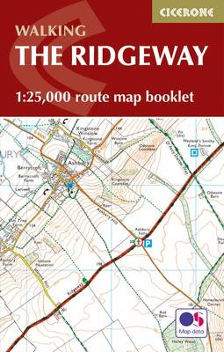
  • The Ridgeway Cicerone Map Booklet
  • All the mapping you need to walk the Ridgeway National Trail an 87-mile (139km) route through southern England from Avebury in Wiltshire to Ivinghoe Beacon in Buckinghamshire. Following a ridge of chalk hills through the Chiltern Hills AONB and North Wessex Downs AONB, the Ridgeway is usually completed over 6-8 days and can be walked all year... Read more
The Book Depository
United Kingdom
2016
» Click to close
Bol.com
Netherlands
» Click to open
Bol.com
Belgium
  • South East Mountain Biking
  • South East Mountain Biking Ridgeway and Chilterns - a compact guide to some of the best mountain biking in Southern England, west of London.The Chilterns and the area either side of the Ridgeway west of London are criss-crossed with byways and bridleways, allowing you to escape onto fine woodland tracks and out into big open chalk country,... Read more
» Click to close