De Zwerver
Netherlands
2022
De Zwerver
Netherlands
2015
» Click to open
Stanfords
United Kingdom
2015
  • Glen Esk & Glen Tanar - Aboyne & Mount Keen OS Explorer Map OL54 (paper)
  • Glen Esk and Glen Tanar area the Scottish Highlands on a detailed topographic and GPS compatible map OL54, paper version, from the Ordnance Survey’s 1:25,000 Explorer series. Coverage includes part of the Cairngorms National Park with a Munro peak of Mount Keen, the Forest of Birse, Aboyne, a section of the Deeside Way, etc.MOBILE DOWNLOADS:... Read more
» Click to close
De Zwerver
Netherlands
» Click to open
Stanfords
United Kingdom
» Click to close
De Zwerver
Netherlands
» Click to open
Stanfords
United Kingdom
  • Loch Laggan & Creag Meagaidh - Corrieyairick Pass OS Explorer Map OL55 (paper)
  • Loch Laggan and Creag Meagaidh area of the Scottish Highlands on a detailed topographic and GPS compatible map OL55, paper version, from the Ordnance Survey’s 1:25,000 Explorer series. Coverage includes a section of the Cairngorms National Park, the Corrieyairack Pass and Forest, six Munro peaks including Cael Charn and Carn Liath, Badenoch,... Read more
» Click to close
De Zwerver
Netherlands
2016
» Click to open
Stanfords
United Kingdom
2016
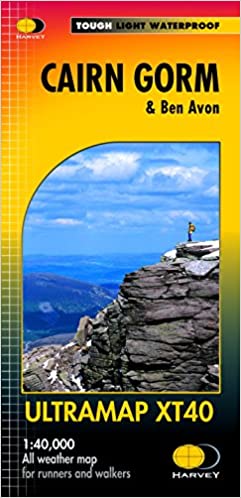
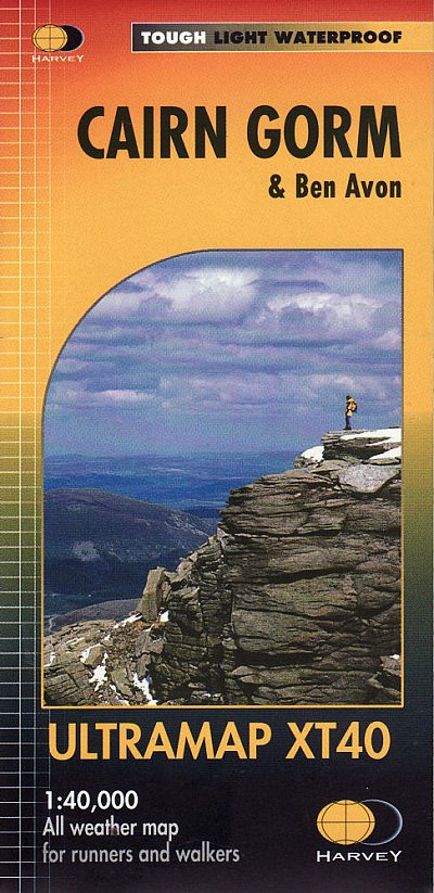
  • Cairn Gorm & Ben Avon Harvey Ultramap XT40
  • Cairn Gorm and Ben Avon area in the heart of the Scottish Highlands at 1:40,000 on a waterproof and tear-resistant, pocket-size Ultramap from Harvey Map Services with the same cartography as their Superwalker map of the area. The peak of Cairn Gorm is on the eastern side of the map, with coverage extending north to Glanmore and the outskirts of... Read more
» Click to close
De Zwerver
Netherlands
2015
» Click to open
Stanfords
United Kingdom
2015
  • Aboyne, Alford & Strathdon OS Explorer Map OL59 (paper)
  • Aboyne, Alford and Strathdon area of the Scottish Highlands on a detailed topographic and GPS compatible map OL59, paper version, from the Ordnance Survey’s 1:25,000 Explorer series. Coverage includes part of the Cairngorms National Park, Ballater, Lochs Davan and Kinord, the Deeside Way, etc. MOBILE DOWNLOADS: this title and all the other OS... Read more
» Click to close
De Zwerver
Netherlands
» Click to open
Stanfords
United Kingdom
  • Discover Cairngorms National Park
  • Cairngorms National Park on a contoured and GPS compatible map at 1:120,000 from Footprint Walks, with street plans of main towns plus on the reverse extensive tourist information including useful contact details, etc. The map covers the whole of the national park area, extending from Bridge of Avon and Grantown-on Spey to Pitlochry, and from... Read more
» Click to close
De Zwerver
Netherlands
2015
» Click to open
Stanfords
United Kingdom
2015
  • Atholl - Glen Tilt, Beinn Dearg & Carn nan Gabhar OS Explorer Map OL51 (paper)
  • Atholl area the Cairngorms National Park on a detailed topographic and GPS compatible map OL51, paper version, from the Ordnance Survey’s 1:25,000 Explorer series. Coverage includes the Forest of Atholl, Glen Tilt, Glen Garry, 10 Munro peaks including Beinn Dearg, Carn nan Gabhar, A’ Bhuidheanach Bheag, Carn na Caim, etc.MOBILE DOWNLOADS: this... Read more
» Click to close
Bol.com
Netherlands
» Click to open
Bol.com
Belgium
  • Rick Steves Snapshot Scottish Highlands
  • You can count on Rick Steves to tell you what you really need to know when traveling in the Scottish Highlands.In this compact guide, Rick Steves covers the essential spots of the region, including Loch Ness, Balmoral Castle, and Inverness. Follow the Speyside Whisky trail, cut through the Cairngorms, spot kelpies in Falkirk, and admire Loch... Read more
» Click to close
Bol.com
Netherlands
2008
» Click to open
Bol.com
Belgium
2008
  • Backpacker's Britain
  • A guidebook to backpacking routes in the Central and Southern Highlands of Scotland with all its wild mountains, rocky coasts and long, winding glens. It offers a range of trekking routes from a superb traverse of all the 4000ft peaks, to classic through-routes in the Cairngorms and many weekend circuits over the highest peaks in Britain - all... Read more
» Click to close
Bol.com
Netherlands
2014
» Click to open
Bol.com
Belgium
2014
  • Scotland's Mountain Ridges
  • In this practical guide to navigating with a GPS, navigation expert Pete Hawkins explains how to get the best from your GPS. He breaks down the jargon into understandable English and takes you through GPS navigation in a clear and structured way. He recognizes that strong traditional navigational skills are the basis for effective GPS... Read more
The Book Depository
United Kingdom
2014
» Click to close
Bol.com
Netherlands
» Click to open
Bol.com
Belgium
  • Cairngorm Ranger
  • A comprehensive guide to Cairn Gorm, the most popular mountain in the Cairngorms National Park. Written by the Head Ranger of the Cairngorm Mountain Ranger Service. A magnificent gift and reference book illustrated with over 100 pictures. Cairn Gorm is a high granite mountain in the Grampian Highlands of Scotland which is rarely far from... Read more
» Click to close
Bol.com
Netherlands
» Click to open
Bol.com
Belgium
» Click to close
Bol.com
Netherlands
2011
» Click to open
Bol.com
Belgium
2011
  • Winter Climbs in the Cairngorms
  • This guide, now in its sixth edition, offers a selection of some of the best winter routes to be found in the Cairngorms and on Creag Meagaidh. The granite peaks of the former have extensive areas of high plateau and four peaks of over 4000ft, while the latter is noted for its classic ice routes. There is superb winter climbing to be had in... Read more
» Click to close
Bol.com
Netherlands
2007
» Click to open
Bol.com
Belgium
2007
  • The Speyside Way
  • The Speyside Way runs for 80 miles (129 km) from the fishing port of Buckie to Aviemore in the foothills of the Cairngorms. Following the lovely valley of the River Spey, you walk through countryside rich in malt whisky and wildlife, along riverside paths, railway trackbed and forest and moorland tracks. This fully revised edition of the... Read more
» Click to close