Stanfords
United Kingdom
2018
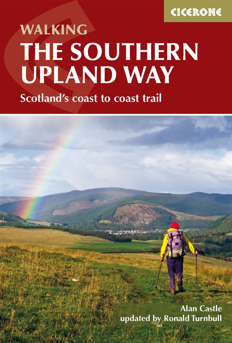
- Southern Upland Way
- The Southern Upland Way is Scotland`s coast-to-coast walk and the longest of the nation`s Great Trails. 215 miles long, it links the pretty harbour village of Portpatrick on the west coast with Cockburnspath, a little south of Dunbar, in the east. The walk is at times a strenuous one, crossing the remote high moorland of the Galloway Hills,... Read more