De Zwerver
Netherlands
2020
De Zwerver
Netherlands
2023
De Zwerver
Netherlands
2019
Bol.com
Netherlands
2018
» Click to open
Bol.com
Belgium
2018
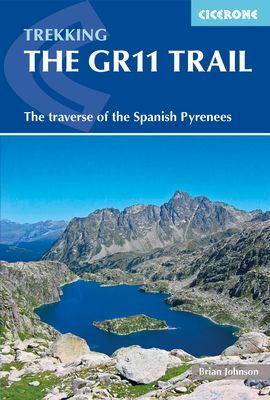
  • The GR11 Trail
  • This comprehensive guidebook to the GR11 trail, which runs 820km from the Atlantic to the Mediterranean, provides everything trekkers will need to take up the challenge - detailed route description, excellent photographs, lots of background information and unique custom-produced maps. This glorious traverse of the Pyrenees, on the Spanish side,... Read more
The Book Depository
United Kingdom
2018
» Click to close
De Zwerver
Netherlands
2010
» Click to open
Bol.com
Netherlands
2010
  • The Pyrenees
  • A resource book covering the finest walks, treks and climbs in the High Pyrenees for 400km between France and Spain, from the Cirque de Lescun, on the edge of the Basque country in the west, to the Carlit massif and the Cerdagne to the east of Andorra. The book is divided into five regional chapters: the Western Valleys; Cirques and Canyons;... Read more
Bol.com
Belgium
2010
  • The Pyrenees
  • A resource book covering the finest walks, treks and climbs in the High Pyrenees for 400km between France and Spain, from the Cirque de Lescun, on the edge of the Basque country in the west, to the Carlit massif and the Cerdagne to the east of Andorra. The book is divided into five regional chapters: the Western Valleys; Cirques and Canyons;... Read more
Stanfords
United Kingdom
2010
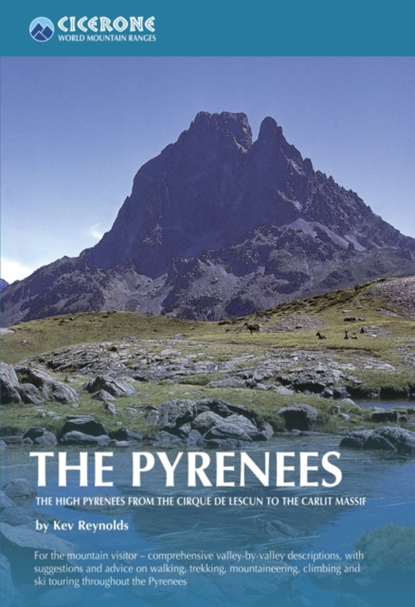
  • The Pyrenees: The High Pyrenees from the Cirque de Lescun to the Carlit Massif
  • The Pyrenees is accomplished walker Kev Reynolds’ large-format Cicerone guide to one of Europe’s most famous and impressive mountain ranges. The guide gives a valley-by-valley description of the High Pyrenees from west to east and is a very useful reference to help identify the best locations for walking, mountaineering, skiing and climbing.... Read more
The Book Depository
United Kingdom
2010
» Click to close
Bol.com
Netherlands
2012
» Click to open
Bol.com
Belgium
2012
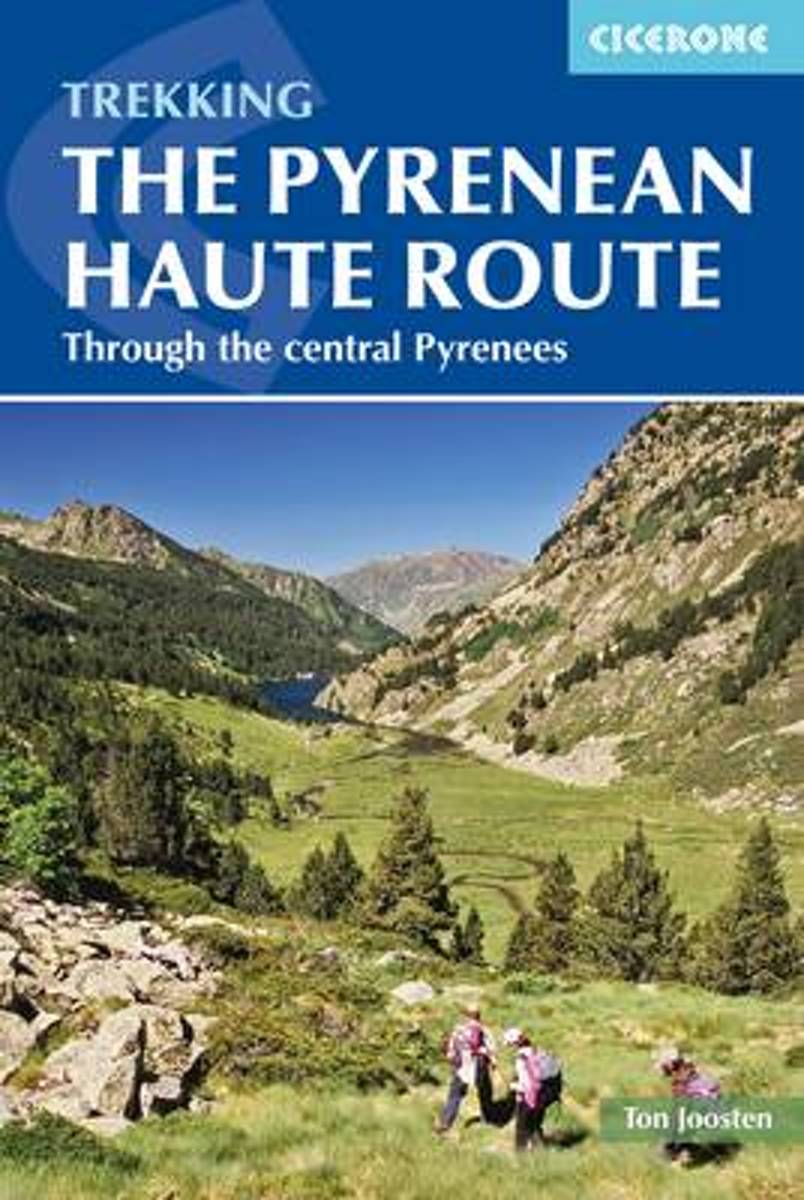
  • The Pyrenean Haute Route
  • The Pyrenean High-Level Route is probably the most beautiful, spectacular and challenging trek in the Pyrenees. Unlike the GR10 and GR11, the trek from Hendaye to Banyuls-sur-Mer crosses the French Spanish border many times, exploring both sides of the mountain range and staying as close as possible to the main ridge of the Pyrenees. The 800km... Read more
» Click to close
De Zwerver
Netherlands
» Click to open
Bol.com
Netherlands
  • Purbeck & South Dorset, Poole, Dorchester, Weymouth & Swanage
  • OS Explorer is the Ordnance Survey's most detailed map and is recommended for anyone enjoying outdoor activities like walking, horse riding and off-road cycling. The OS Explorer range of OL maps now includes a digital version of the paper map, accessed through the OS smartphone app, OS Maps. Providing complete GB coverage the series details... Read more
Bol.com
Belgium
  • Purbeck & South Dorset, Poole, Dorchester, Weymouth & Swanage
  • OS Explorer is the Ordnance Survey's most detailed map and is recommended for anyone enjoying outdoor activities like walking, horse riding and off-road cycling. The OS Explorer range of OL maps now includes a digital version of the paper map, accessed through the OS smartphone app, OS Maps. Providing complete GB coverage the series details... Read more
Stanfords
United Kingdom
» Click to close
Bol.com
Netherlands
» Click to open
Bol.com
Belgium
  • Through The Spanish Pyrenees
  • Walking the GR11 (La Senda) trek, as described in this guidebook, takes you through Spain's Pyrenees from the Atlantic at Iruns to the Mediterranean at Calaques, and is one of the world's great trekking routes. The Spanish Pyrenees present a wonderland to the holidaymaker, whether backpacker, botanist, canoeist, cyclist, entomologist,... Read more
» Click to close
Stanfords
United Kingdom
2019
Stanfords
United Kingdom
Stanfords
United Kingdom
Stanfords
United Kingdom
De Zwerver
Netherlands
» Click to open
Stanfords
United Kingdom
  • Exeter, Sidmouth, Exmouth & Teignmouth OS Landranger Map 192 (paper)
  • Exeter and Sidmouth area, including a section of the South West Coast Path / E9 European Long-distance Path, on a paper version of map No. 192 from the Ordnance Survey’s Landranger series at 1:50,000, with contoured and GPS compatible topographic mapping plus tourist information.MOBILE DOWNLOADS: As well as the physical edition of the map, each... Read more
The Book Depository
United Kingdom
» Click to close
Stanfords
United Kingdom
» Click to open
» Click to close
Stanfords
United Kingdom
» Click to open
The Book Depository
United Kingdom
» Click to close