Bol.com
Netherlands
Netherlands
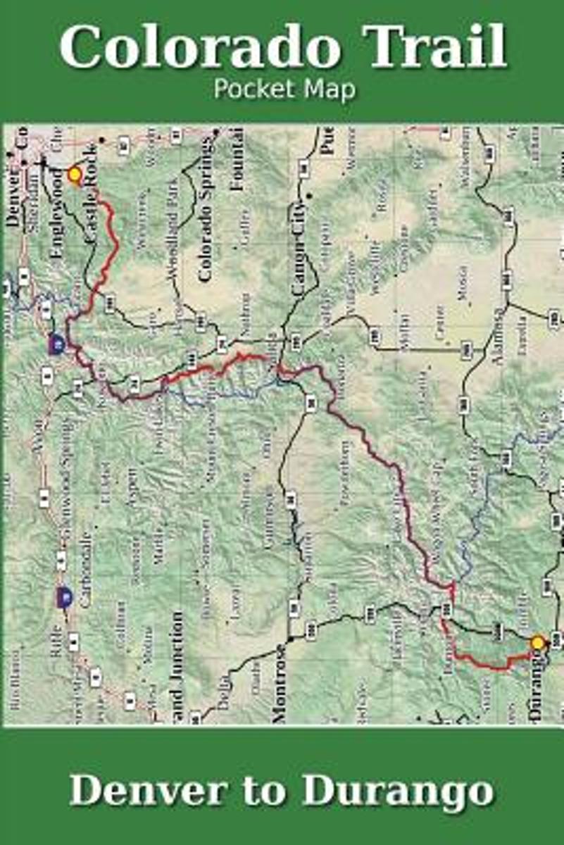
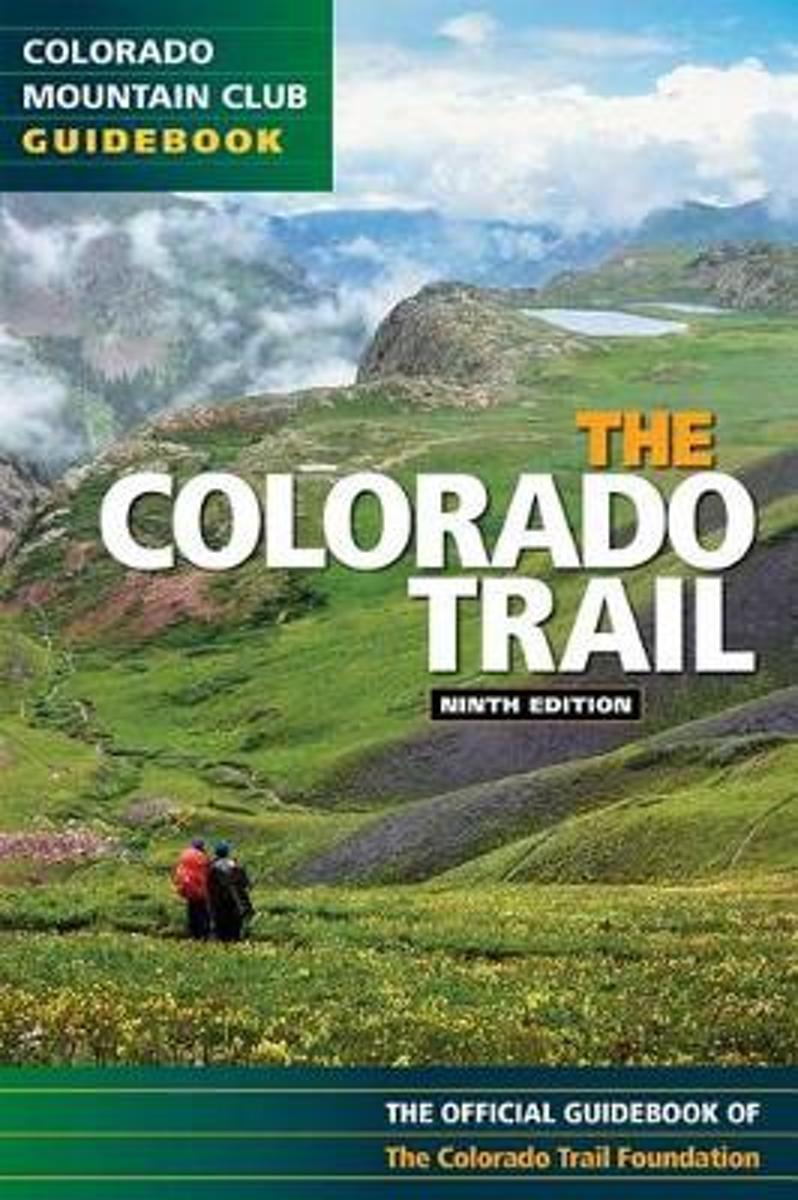
- The Colorado Trail
- Exploring all 468 miles of the Colorado Trail, this official guidebook is updated with the latest information on dozens of side trips, nearby towns, natural history, and safety considerations. Includes handy trip logs and full-color maps with GPS coordinates for each of the 28 segments. 86 color photos. Read more
- Also available from:
- Bol.com, Belgium
- The Book Depository, United Kingdom
Bol.com
Belgium
Belgium
- The Colorado Trail
- Exploring all 468 miles of the Colorado Trail, this official guidebook is updated with the latest information on dozens of side trips, nearby towns, natural history, and safety considerations. Includes handy trip logs and full-color maps with GPS coordinates for each of the 28 segments. 86 color photos. Read more