De Zwerver
Netherlands
2023
De Zwerver
Netherlands
2015
» Click to open
Stanfords
United Kingdom
2015
  • North Pennines: Teesdale & Weardale OS Explorer Map OL31 (paper)
  • The northern part of the Pennines including Teesdale and Weardale on a detailed topographic and GPS compatible map OL31, paper version, from the Ordnance Survey’s 1:25,000 Explorer series. Coverage include Barnard Castle, Middleton-in-Teesdale, Stanhope, Blagill, Gilderdale Forest, Milburn Forest, Hamsterley Forest, Middleton Common, the peaks... Read more
» Click to close
De Zwerver
Netherlands
2015
» Click to open
Stanfords
United Kingdom
2015
» Click to close
De Zwerver
Netherlands
2022
De Zwerver
Netherlands
De Zwerver
Netherlands
2022
» Click to open
Bol.com
Netherlands
2017
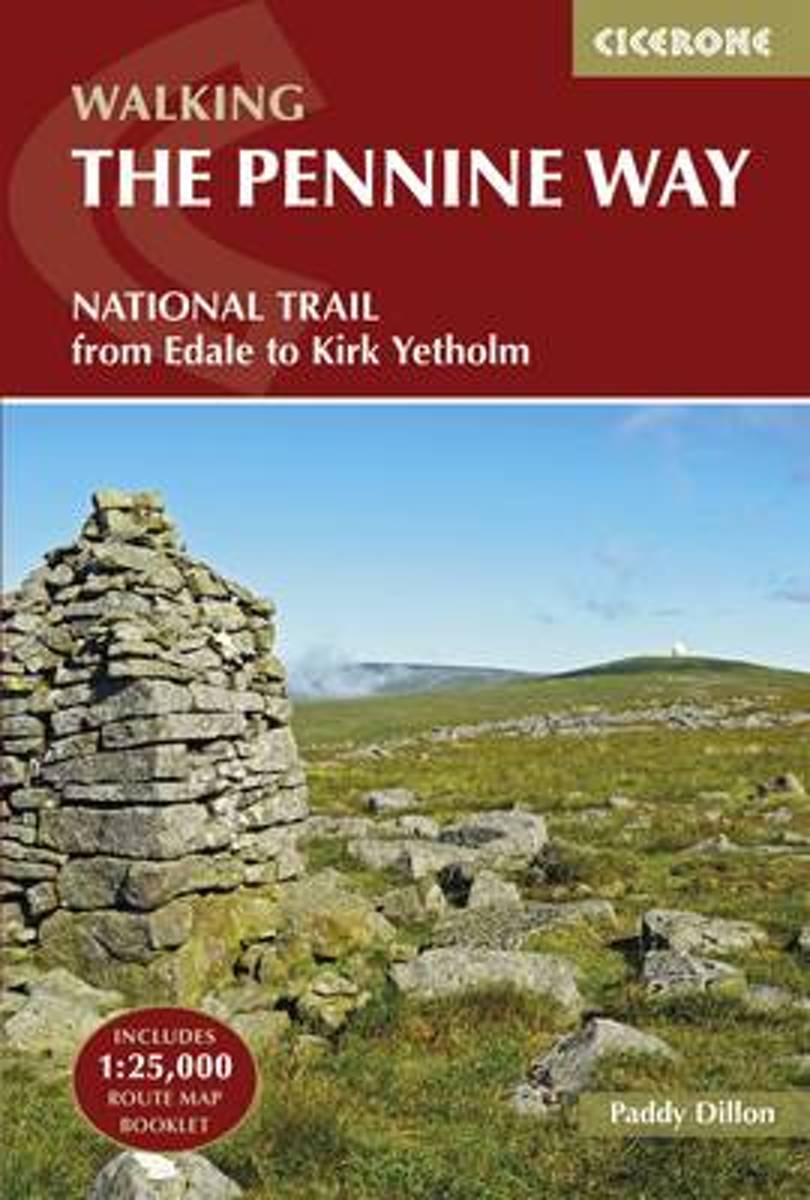
  • The Pennine Way
  • The Pennine Way is Britain's oldest, toughest long-distance footpath - and arguably its most iconic. Now a National Trail, the 427km (2651/2 mile) route from Edale in Derbyshire to Kirk Yetholm in the Scottish Borders offers wayfarers the opportunity to immerse themselves in wild beauty of the North. The Pennines boast rolling hills, sweeping... Read more
Bol.com
Belgium
2017
  • The Pennine Way
  • The Pennine Way is Britain's oldest, toughest long-distance footpath - and arguably its most iconic. Now a National Trail, the 427km (2651/2 mile) route from Edale in Derbyshire to Kirk Yetholm in the Scottish Borders offers wayfarers the opportunity to immerse themselves in wild beauty of the North. The Pennines boast rolling hills, sweeping... Read more
Stanfords
United Kingdom
2017
  • The Pennine Way: From Edale to Kirk Yetholm
  • The Pennine Way is Britain`s oldest, toughest long-distance footpath - and arguably its most iconic. Now a National Trail, the 427km (2651/2 mile) route from Edale in Derbyshire to Kirk Yetholm in the Scottish Borders offers wayfarers the opportunity to immerse themselves in wild beauty of the North. The Pennines boast rolling hills, sweeping... Read more
The Book Depository
United Kingdom
2017
» Click to close
Bol.com
Netherlands
» Click to open
Bol.com
Belgium
  • See You in Kirk Yetholm
  • The Pennine Way. The grandfather of walking trails in the UK. For over 60 years walkers have been drawn to its journey across wild and empty moorland, murky bogs, cloud covered summits and endless rain. Yet somehow it has a hypnotic charm that persuades people to walk it, even if they never intended to do so.People like Andrew Bowden. Despite... Read more
» Click to close
De Zwerver
Netherlands
2016
» Click to open
Bol.com
Netherlands
2016
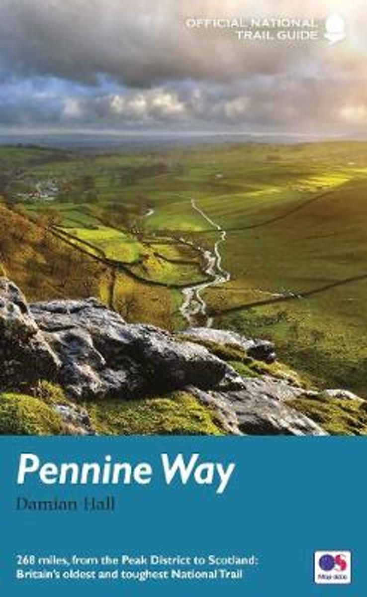
  • Pennine Way
  • To replace its previous two-volume guide to the Pennine Way, Aurum now publishes an entirely new one-volume guide for the 21st-century walker. The Pennine Way is Britain' s toughest long-distance path, running 268 miles from Derbyshire' s Peak District up through the Yorkshire Dales, Cumbria and Northumberland into the Scottish Borders. Until... Read more
Bol.com
Belgium
2016
  • Pennine Way
  • To replace its previous two-volume guide to the Pennine Way, Aurum now publishes an entirely new one-volume guide for the 21st-century walker. The Pennine Way is Britain' s toughest long-distance path, running 268 miles from Derbyshire' s Peak District up through the Yorkshire Dales, Cumbria and Northumberland into the Scottish Borders. Until... Read more
Stanfords
United Kingdom
2016
  • Pennine Way National Trail
  • The Pennine Way, the whole 431-km/268 mile route from Edale in the Peak District to Kirk Yetholm in the Scottish Borders, in a series of walking guides to the National Trails in England and Wales with colour extracts from the Ordnance Survey`s Explorer series at 1:25,000 showing points along the route cross-referenced to the text. The maps... Read more
The Book Depository
United Kingdom
2016
» Click to close
Bol.com
Netherlands
2017
» Click to open
Bol.com
Belgium
2017
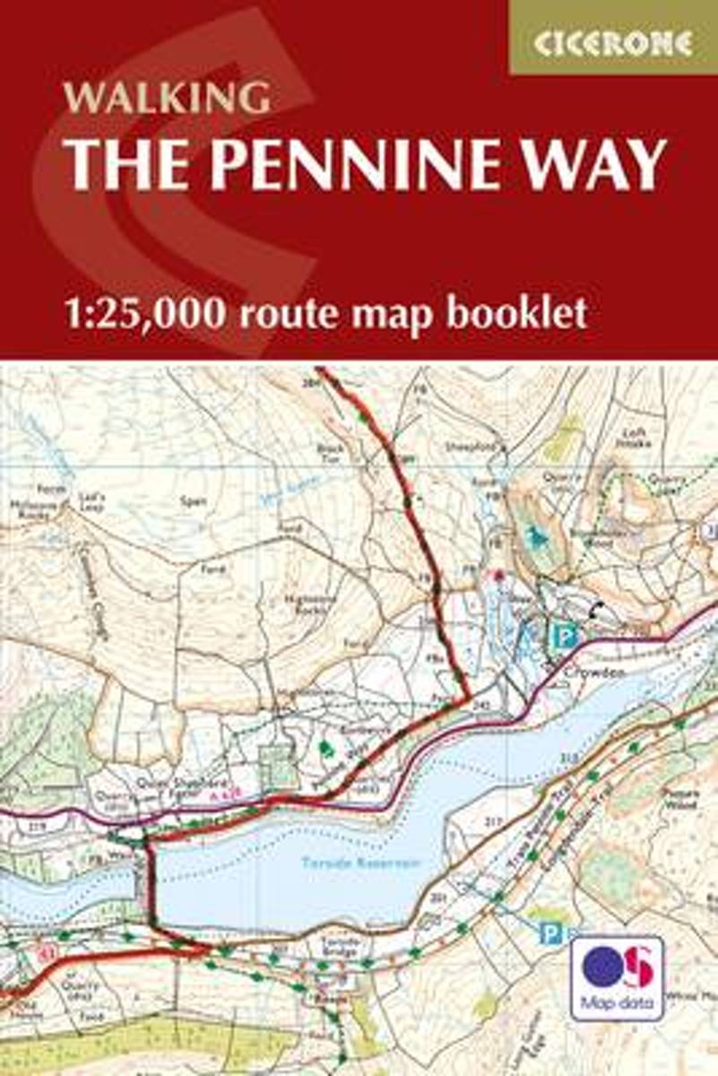
  • Pennine Way Map Booklet
  • Britain's oldest, toughest and best-known long-distance footpath, the Pennine Way stretches 427km (266 miles) from Edale in Derbyshire to Kirk Yetholm in the Scottish Borders. Showcasing the wild beauty of the North, it crosses three National Parks - the Peak District, Yorkshire Dales and Northumberland National Park - plus the North Pennines... Read more
Stanfords
United Kingdom
2017
  • Pennine Way Cicerone Map Booklet
  • Britain`s oldest, toughest and best-known long-distance footpath, the Pennine Way stretches 427km (2651/2 miles) from Edale in Derbyshire to Kirk Yetholm in the Scottish Borders. Showcasing the wild beauty of the North, it crosses three National Parks - the Peak District, Yorkshire Dales and Northumberland National Park - plus the North... Read more
The Book Depository
United Kingdom
2017
» Click to close
Bol.com
Netherlands
2010
» Click to open
Bol.com
Belgium
2010
  • The Big Walks of the North
  • From the Great Glen Way to the Coast to Coast Path, there is no better way to discover the spectacular diversity of northern Britain's landscape than on foot. Whether you enjoy exploring green and gently rolling dales or tackling rugged mountain paths, there are walks here to keep you rambling all year round.An indefatigable walker, David... Read more
» Click to close
Bol.com
Netherlands
» Click to open
Bol.com
Belgium
  • The 50 Greatest Walks of the World
  • Barry Stone, author of 1,001 Walks You Must Experience Before You Die, delves into some of the lesser-known aspects of the world's most famous and not-quite-famous-yet trails.The perfect accompaniment to practical guidebooks, Stone relates how slings and carabiners kept him from falling headlong off the Sydney Harbour Bridge, and reports on the... Read more
Stanfords
United Kingdom
  • The 50 Greatest Walks of the World
  • Barry Stone, author of 1001 Walks You Must Experience Before You Die, delves into some of the lesser-known aspects of the world`s most famous - and not-quite-famous-yet - trails. The perfect accompaniment to practical guidebooks, Stone relates how slings and carabiners kept him from falling headlong off the Sydney Harbour Bridge, and reports on... Read more
» Click to close
Bol.com
Netherlands
» Click to open
Bol.com
Belgium
  • Howling at the Moon
  • One of the country's toughest walks, the Pennine Way stretches for 270 remote, lonely miles along the backbone of England. It was Britain's first long-distance trail and it's still the best known. It's also the yardstick by which all serious walkers are measured.Pause for a pint at the highest pub in England.Follow in the footsteps of the Roman... Read more
» Click to close
Bol.com
Netherlands
» Click to open
Bol.com
Belgium
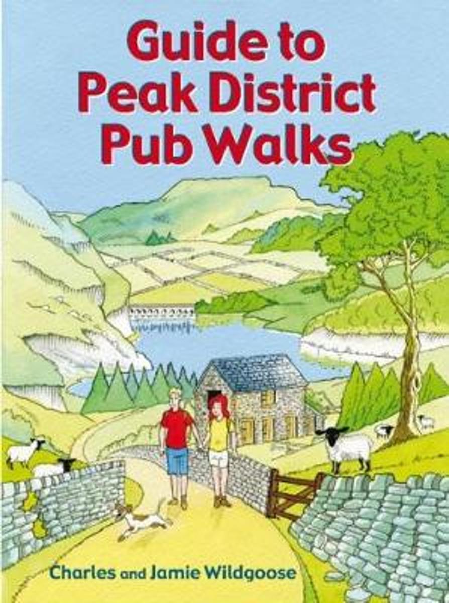
  • Guide to Peak District Pub Walks
  • Discover the beauty of the Peak District with this guide to some of the finest walking in the country. Routes include walks beside Dovestone, Ladybower and Redmires reservoirs, the Monsal Trail, and the ancient hillfort of Carl Wak. Explore the Norman-built Peveril Castle at Castleton, the magnificence of Chatsworth House and the beauty of the... Read more
Stanfords
United Kingdom
  • Guide to Peak District Pub Walks
  • Discover the beauty of the Peak District with this guide to some of the finest walking in the country. Routes include walks beside Dovestone, Ladybower and Redmires reservoirs, the Monsal Trail, and the ancient hillfort of Carl Wak. Explore the Norman-built Peveril Castle at Castleton, the magnificence of Chatsworth House and the beauty of the... Read more
The Book Depository
United Kingdom
» Click to close
Bol.com
Netherlands
2014
» Click to open
Bol.com
Belgium
2014
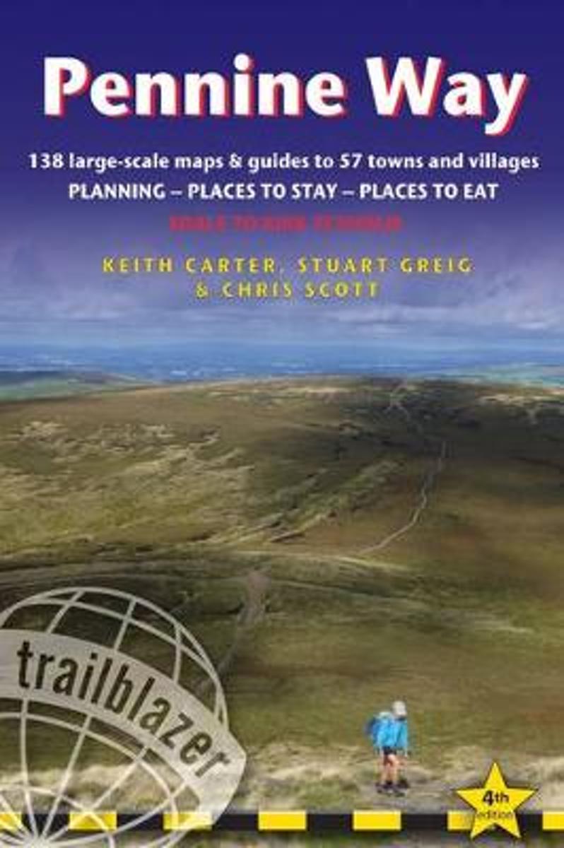
  • Pennine Way
  • Britain's best-known National Trail winds for 256 miles through three National Parks - the Peak District, Yorkshire Dales and Northumberland. This superb footpath showcases Britain's finest upland scenery, while touching the literary landscape of the Bronte family and Roman history along Hadrian's Wall. *138 large-scale walking maps - at just... Read more
» Click to close
Bol.com
Netherlands
» Click to open
Bol.com
Belgium
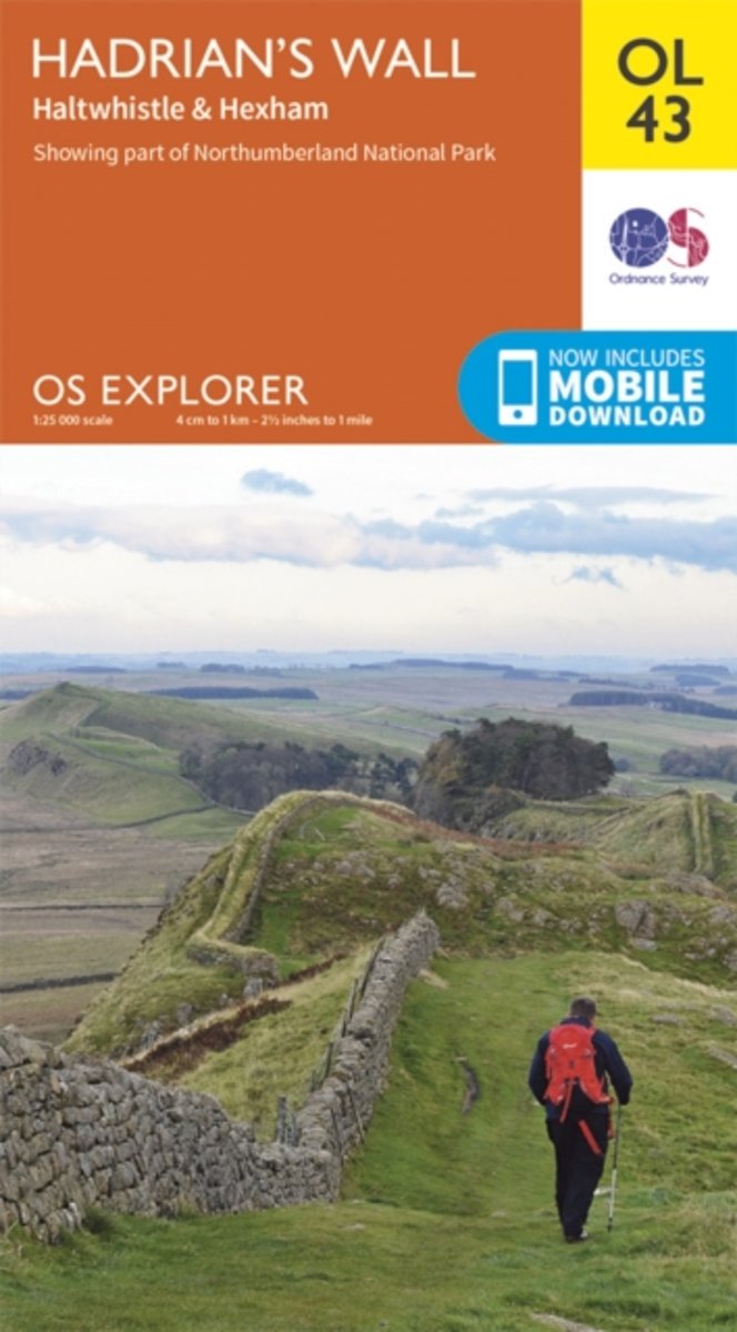
  • Hadrian's Wall, Haltwhistle & Hexham
  • OS Explorer is the Ordnance Survey's most detailed map and is recommended for anyone enjoying outdoor activities like walking, horse riding and off-road cycling. The OS Explorer range of OL maps now includes a digital version of the paper map, accessed through the OS smartphone app, OS Maps. Providing complete GB coverage the series details... Read more
» Click to close