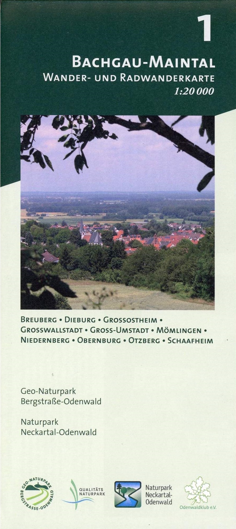
Bachgau-Maintal 1:20.000 ab 8.9 EURO Wander- und Radwanderkarte. Mit Breuberg, Dieburg, Großostheim, Großwallstadt, Groß-Umstadt, Mömlingen, Niedernberg, Obernburg, Otzberg und Schaafheim Odenwald Freizeitkarte Naturpark Neckartal-Odenwald Geo-Naturpark Bergstraße-Odenwald. 1. AuflageRead more
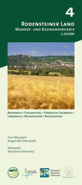
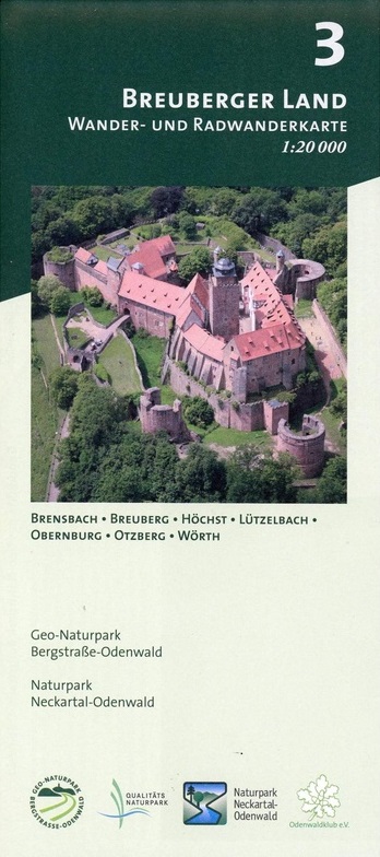
Breuberger Land 1:20.000 ab 8.9 EURO Wander- und Radwanderkarte. Mit Brensbach, Breuberg, Höchst, Lützelbach, Obernburg, Otzberg und Wörth Odenwald Freizeitkarte Naturpark Neckartal-Odenwald Geo-Naturpark Bergstraße-Odenwald. 1. AuflageRead more
Map No. 126, Alta Val Marecchia, in a series of GPS compatible hiking maps at 1:50,000 from the Istituto Geografico Adriatico, covering parts of central Italy: eastern Tuscany, with northern Umbria and the Marches, plus the south-eastern of part of Emilia-Romagna.The maps have contours at 50m intervals with additional shading and numerous spot...Read more
Map No. 18, Monte Fumaiolo - Alto Tevere, in series of contoured, GPS compatible hiking maps at 1:25,000 from the Istituto Geografico Adriatico, covering mainly the spine of the Apennines along the borders of Tuscany, Emilia-Romagna, Umbria and the Marches.Map in this series have contours at 25m intervals with additional shading and numerous...Read more
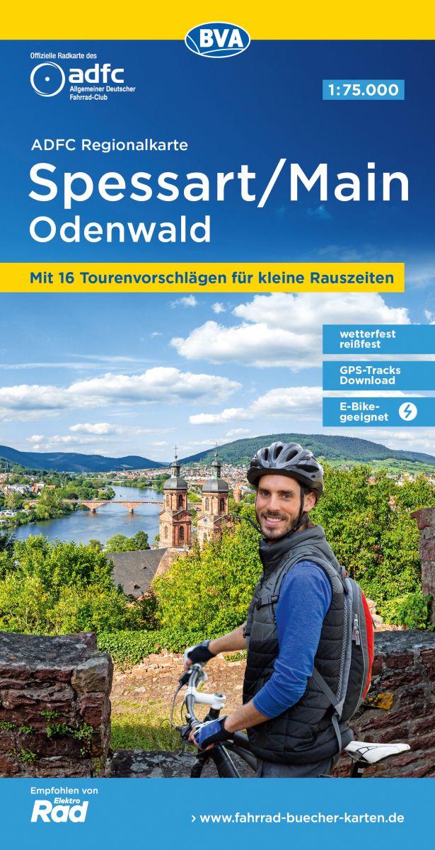
Cycling atlas of the Rhine - Neckar region of Germany at 1:75,000 in a series of handy size spiral bound atlases from Verlag Esterbauer, Europe’s leading publishers of cycling maps. The guide includes over 1000km of cycling trails in the region between Worms and Karlsruhe, including around Heidelberg and in the Odenwald Natural Park.Cycling...Read more
Monti Sibillini National Park at 1:25,000 on a double-sided contoured map from Edizioni Multigraphic highlighting local waymarked hiking routes including the GAS – Grand Anello dei Sibilini, the circular tour around the mountains.The map has contours at 25m intervals with colouring for woodlands. Waymarked routes are highlighted and annotated...Read more