De Zwerver
Netherlands
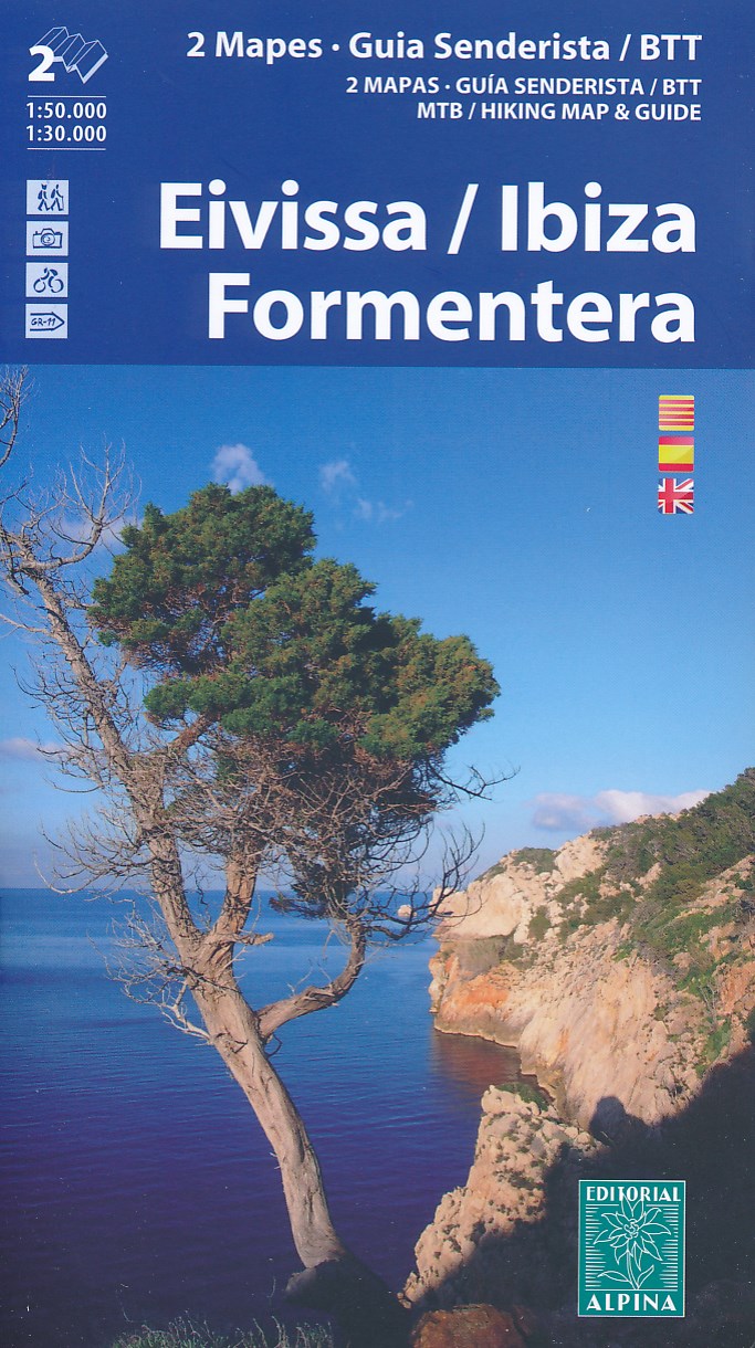
- Wandelkaart - Fietskaart 77 Ibiza en Formentera | Editorial Alpina
- Ibiza at 1:50,000 and Formentera at 1:30,000 on a contoured and GPS compatible map from Editorial Alpina highlighting hiking, cycling and mountain bike routes, with English language descriptions of several recommended trails on both islands.The map is double-sided, presenting on one side Ibiza at 1:50,000 with contour lines at 20m intervals,... Read more

Stanfords
United Kingdom
- Ibiza - Formentera Editorial Alpina
- Ibiza at 1:50,000 and Formentera at 1:30,000 on a contoured and GPS compatible map from Editorial Alpina highlighting hiking, cycling and mountain bike routes, with English language descriptions of several recommended trails on both islands.The map is double-sided, presenting on one side Ibiza at 1:50,000 with contour lines at 20m intervals,... Read more
De Zwerver
Netherlands
De Zwerver
Netherlands
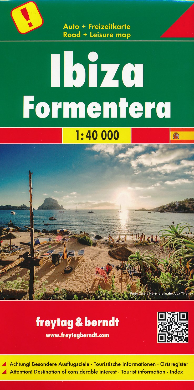
- Wandelkaart - Wegenkaart - landkaart Ibiza - Formentera | Freytag & Berndt
- Gedetailleerde wegenkaart van Ibiza en Formentera die ook als wandelkaart goed te gebruiken is. Er staan ook een aantal wandelingen ingetekend. Toeristisch belangrijke zaken als stranden, bezienswaardigheden, vuurtorens, maar ook zaken als benzinepompen staan met symbolen aangegeven op deze kaart. Nadeel is het feit dat deze niet... Read more

Stanfords
United Kingdom
- Ibiza - Formentera F&B
- Ibiza and Formentera at 1:40,000 on a road map from Freytag & Berndt prominently highlighting the two islands’ best sights which have multilingual descriptions in the index booklet attached to the map cover. Road network is shown on a base with topography indicated by relief shading with spot heights, plus colouring for woodlands. Driving... Read more
De Zwerver
Netherlands
Bol.com
Netherlands
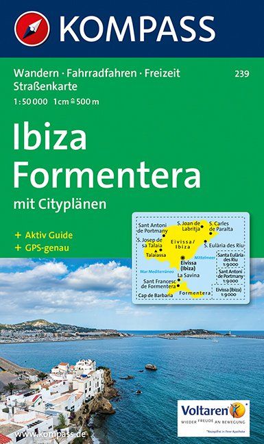
- Ibiza, Formentera WK239
- Toeristische kaart voor wandelen, fietsen en vrije tijd met activiteitengids en stadsplattegronden • goed leesbare schaal van 1:50 000 • te gebruiken met GPS • met praktische informatie over de regio • wandel- en fietspaden • aanbevolen routes • kastelen • uitzichtpunten • stranden en baaien • toeristische informatie • veel topografische... Read more
Bol.com
Belgium
- Ibiza, Formentera WK239
- Toeristische kaart voor wandelen, fietsen en vrije tijd met activiteitengids en stadsplattegronden • goed leesbare schaal van 1:50 000 • te gebruiken met GPS • met praktische informatie over de regio • wandel- en fietspaden • aanbevolen routes • kastelen • uitzichtpunten • stranden en baaien • toeristische informatie • veel topografische... Read more

Stanfords
United Kingdom
- Sant Francesc de Formentera 25K CNIG Topographic Survey Map No. 824-IV/849-II
- Topographic coverage of the Balearic Islands at 1:25,000 published by the Instituto Geográfico Nacional – Centro Nacional de Información Geografica, the country’s civilian survey organization. The maps have contours at 10m intervals and colouring and/or graphics to show different types of vegetation or land use. Boundaries of national parks and... Read more
Stanfords
United Kingdom
- Pilar de la Mola 25K Formentera CNIG Topographic Survey Map No. 825-III/850-I
- Topographic coverage of the Balearic Islands at 1:25,000 published by the Instituto Geográfico Nacional – Centro Nacional de Información Geografica, the country’s civilian survey organization. The maps have contours at 10m intervals and colouring and/or graphics to show different types of vegetation or land use. Boundaries of national parks and... Read more
Stanfords
United Kingdom
- S`Espalmador 25K Formentera CNIG Topographic Survey Map No. 824-II/825-I
- Topographic coverage of the Balearic Islands at 1:25,000 published by the Instituto Geográfico Nacional – Centro Nacional de Información Geografica, the country’s civilian survey organization. The maps have contours at 10m intervals and colouring and/or graphics to show different types of vegetation or land use. Boundaries of national parks and... Read more

Stanfords
United Kingdom
- 3200 Islas Baleares Chart Atlas - 2018 edition
- Chart atlas covering the Islas Baleares - Ibiza, Formentera, Mallorca, Cabrera and Menorca. 25 sheets provide all of the necessary information for passage planning and detailed approaches to the harbours and anchorages of this appealing cruising ground. In loose-leaf A2 format in a tough plastic wallet.A voucher code to download the relevant... Read more

Stanfords
United Kingdom
- Formentera CNIG Topo 824/825/849
- Topographic coverage of the Balearic Islands at 1:50,000 in the MTN50 (Mapa Topográfico Nacional) series from the Instituto Geográfico Nacional – Centro Nacional de Información Geografica, the country’s civilian survey organization. The maps have contours at 20m intervals, enhanced by relief shading, plus colouring and/or graphics to show... Read more