De Zwerver
Netherlands
- Wandelkaart 312 Minor Cyclades | Terrain maps
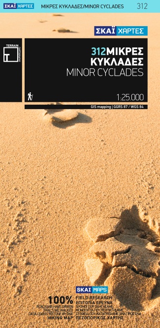
- Minor Cyclades Islands: Heraklia, Schinousa, Keros, Koufonisia, Donoussa at 1:25,000 on a contoured, GPS compatible hiking map published by Terrain Cartography group together with Skai Maps, and printed on light, waterproof and tear-resistant Polyart plastic paper, with extensive tourist information.Topography is very well presented by... Read more

Stanfords
United Kingdom
- Minor Cyclades Islands: Heraklia, Schinousa, Keros, Koufonisia, Donoussa Terrain Editions 312
- Minor Cyclades Islands: Heraklia, Schinousa, Keros, Koufonisia, Donoussa at 1:25,000 on a contoured, GPS compatible hiking map published by Terrain Cartography group together with Skai Maps, and printed on light, waterproof and tear-resistant Polyart plastic paper, with extensive tourist information.Topography is very well presented by... Read more
De Zwerver
Netherlands
De Zwerver
Netherlands
- Wandelkaart 301 Tzia ( Kea ) | Terrain maps
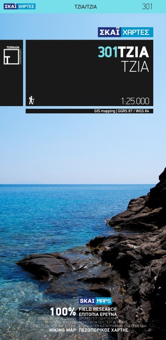
- Kea (Tzia) at 1:25,000 on a contoured, GPS compatible hiking map published by Terrain Cartography group together with Skai Maps, and printed on light, waterproof and tear-resistant Polyart plastic paper, with extensive tourist information.Topography is very well presented by contours, enhanced by spot heights, subtle relief shading and... Read more

Stanfords
United Kingdom
- Kea / Tzia Terrain Editions 301
- Greek island of Kea (Tzia) on a light, waterproof and tear-resistant, contoured and GPS compatible map at 1:25,000 from Terrain Editions. The reverse side includes descriptions of ten specially selected hiking trails. All place names are shown in both Greek and Latin alphabet. Map legend and all the text include English.Maps of the Greek... Read more
De Zwerver
Netherlands
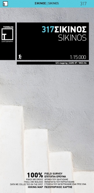
- Wandelkaart 317 Sikinos | Terrain maps
- Gedetailleerde wegenkaart en wandelkaart met alle kleine wegen, wandelpaden, hoogtelijnen en toeristische informatie aangegeven. Alle tekst is tweetalig in Engels en Grieks en de waterproof kaart is geschikt voor gebruik met GPS. This is a great map because: It comes in the detailed scale of 1:15,000, showing everything with great clarity, and... Read more
De Zwerver
Netherlands
De Zwerver
Netherlands
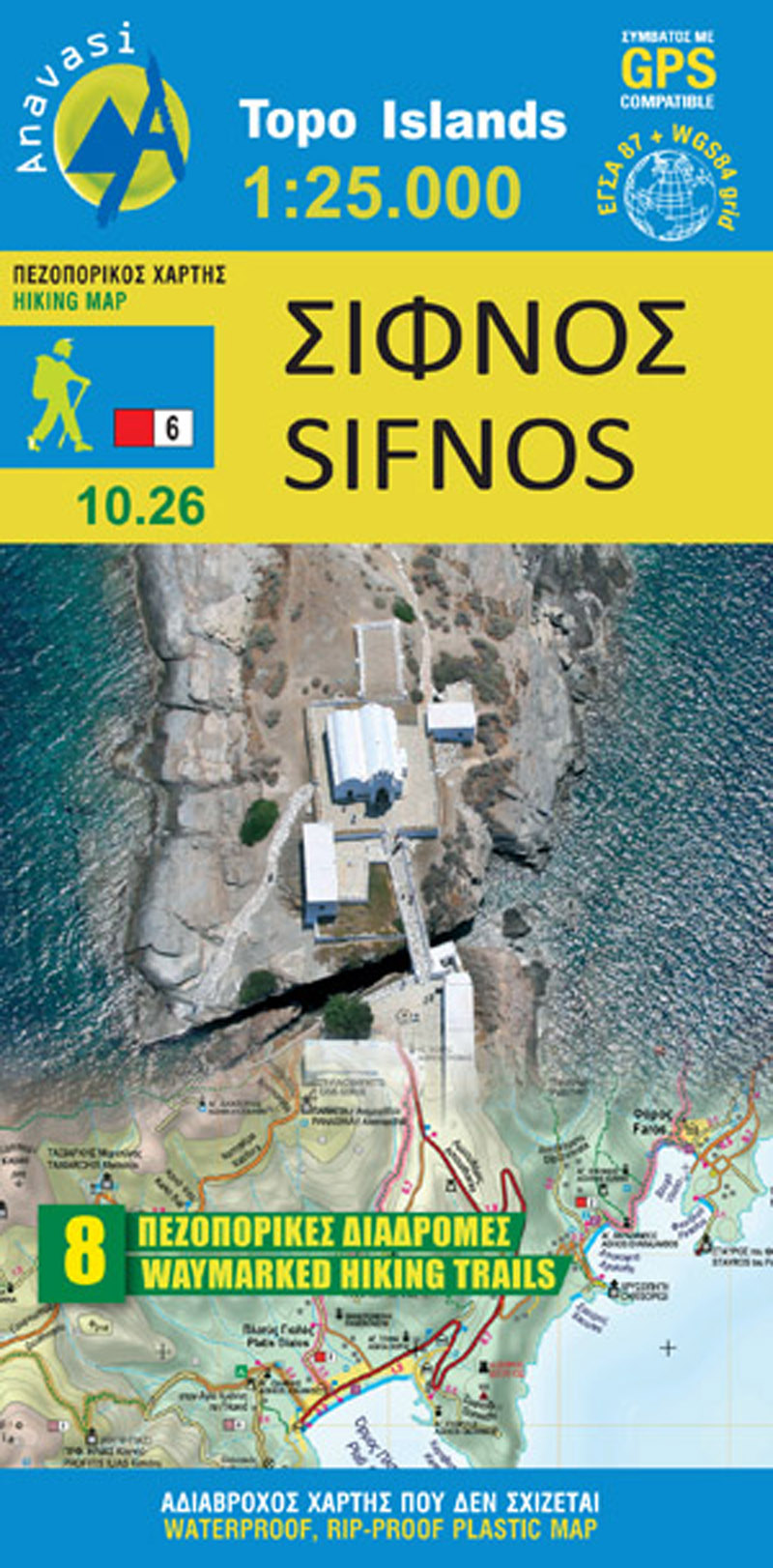
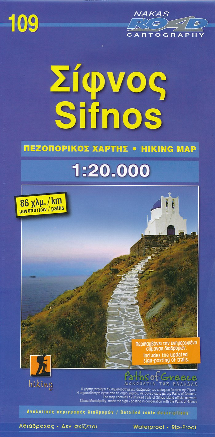
- Wandelkaart 10.26 Sifnos | Anavasi
- Sifnos in the Cyclades on light, a waterproof and tear-resistant, contoured and GPS compatible map at 1:25,000 from Anavasi for exploring the island on foot or by car, highlighting eight recommended hiking trails, plus descriptions of 11 most interesting locations on Sifnos.Landscape is vividly shown by contours at 20m with altitude colouring,... Read more

Stanfords
United Kingdom
- Sifnos Anavasi 10.26
- Sifnos in the Cyclades on light, a waterproof and tear-resistant, contoured and GPS compatible map at 1:25,000 from Anavasi for exploring the island on foot or by car, highlighting eight recommended hiking trails, plus descriptions of 11 most interesting locations on Sifnos.Landscape is vividly shown by contours at 20m with altitude colouring,... Read more
De Zwerver
Netherlands
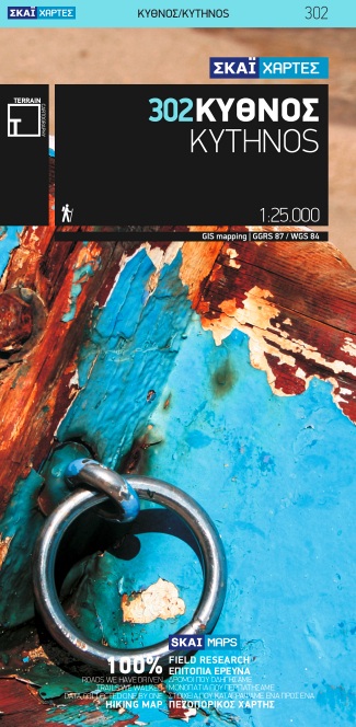
- Wandelkaart 302 Kythnos | Terrain maps
- Kythnos at 1:25,000 on a contoured, GPS compatible hiking map published by Terrain Cartography group together with Skai Maps, and printed on light, waterproof and tear-resistant Polyart plastic paper, with extensive tourist information.Topography is very well presented by contours, enhanced by spot heights, subtle relief shading and additional... Read more

Stanfords
United Kingdom
- Kythnos Terrain Editions 302
- Greek island of Kythnos on a light, waterproof and tear-resistant, contoured and GPS compatible map at 1:25,000 from Terrain Editions, with astreet plan of the Hora of Kythnos at 1:2,500, plus descriptions of 13 specially selected hiking trails. All place names are shown in both Greek and Latin alphabet. Map legend and all the text include... Read more
De Zwerver
Netherlands
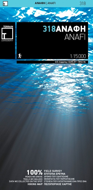
- Wandelkaart 318 Anafi | Terrain maps
- Gedetailleerde wegenkaart en wandelkaart met alle kleine wegen, wandelpaden, hoogtelijnen en toeristische informatie aangegeven. Alle tekst is tweetalig in Engels en Grieks en de waterproof kaart is geschikt voor gebruik met GPS. This is a great map because: First and foremost, it is the only existing –to date- GIS map of Anafi. It is made with... Read more
De Zwerver
Netherlands
De Zwerver
Netherlands
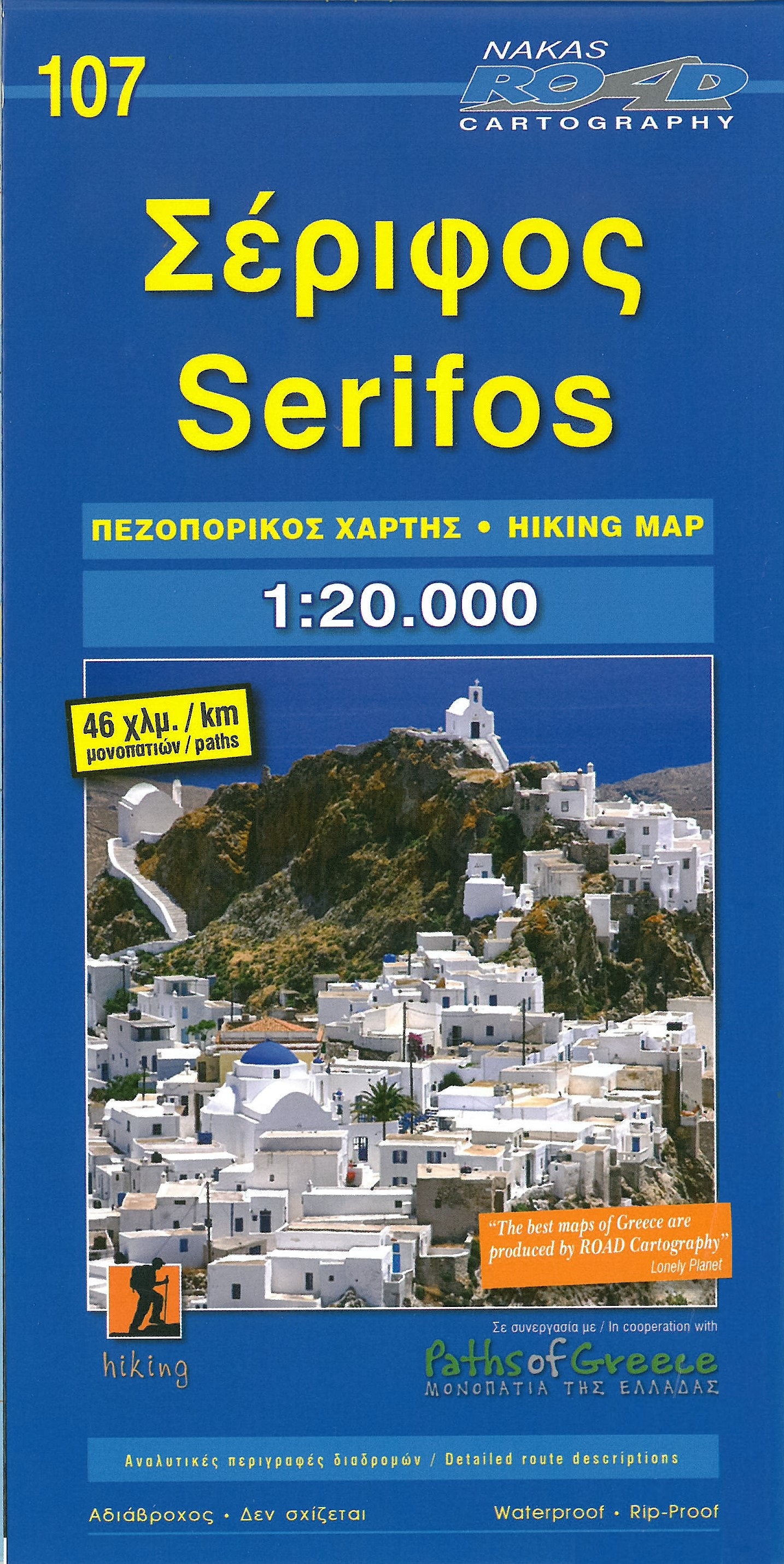
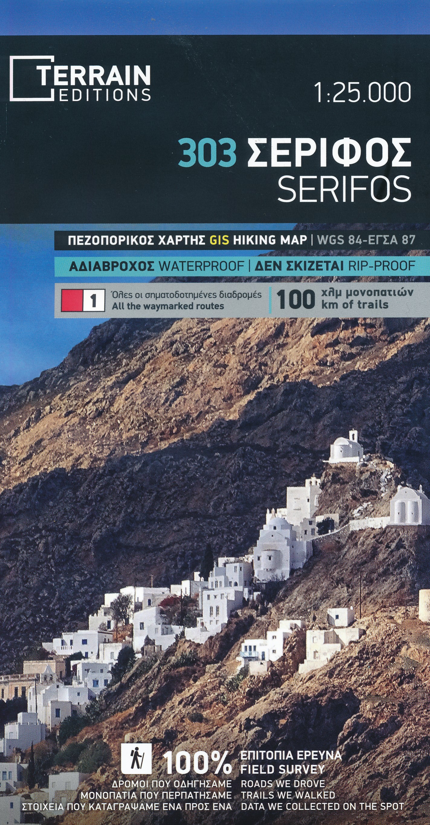
- Wandelkaart 303 Serifos | Terrain maps
- Serifos at 1:20,000 on a contoured, GPS compatible hiking map published by Terrain Cartography group together with Skai Maps, and printed on light, waterproof and tear-resistant Polyart plastic paper, with extensive tourist information.Topography is very well presented by contours, enhanced by spot heights, subtle relief shading and additional... Read more

Stanfords
United Kingdom
- Serifos Terrain Editions 303
- Serifos at 1:20,000 on a contoured, GPS compatible hiking map published by Terrain Cartography group together with Skai Maps, and printed on light, waterproof and tear-resistant Polyart plastic paper, with extensive tourist information.Topography is very well presented by contours, enhanced by spot heights, subtle relief shading and additional... Read more
De Zwerver
Netherlands
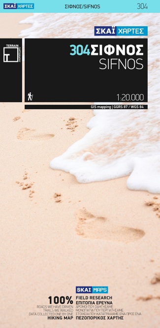
- Wandelkaart 304 Sifnos | Terrain maps
- Sifnos at 1:20,000 on a contoured, GPS compatible hiking map published by Terrain Cartography group together with Skai Maps, and printed on light, waterproof and tear-resistant Polyart plastic paper, with extensive tourist information.Topography is very well presented by contours, enhanced by spot heights, subtle relief shading and additional... Read more

Stanfords
United Kingdom
- Sifnos Terrain Editions 304
- Sifnos at 1:20,000 on a contoured, GPS compatible hiking map published by Terrain Cartography group together with Skai Maps, and printed on light, waterproof and tear-resistant Polyart plastic paper, with extensive tourist information.Topography is very well presented by contours, enhanced by spot heights, subtle relief shading and additional... Read more
De Zwerver
Netherlands
De Zwerver
Netherlands
De Zwerver
Netherlands
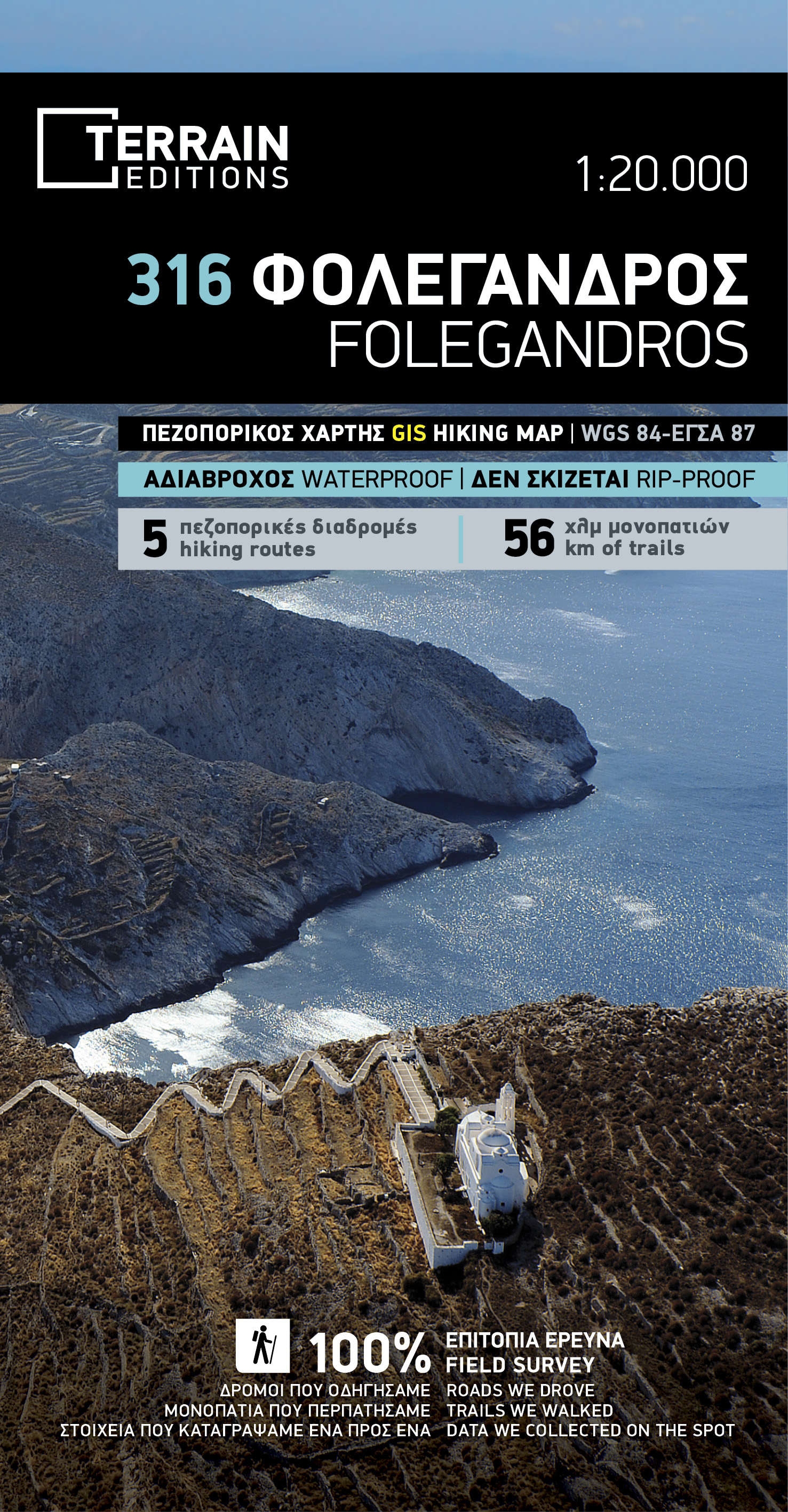
- Wandelkaart 316 Folegandros | Terrain maps
- Folegandros on a light, waterproof and tear-resistant, contoured and GPS compatible map at 1:20,000 from Terrain Editions, with a large street plan of the Hora of Folegandros at 1:2,000 annotated with various facilities. On the reverse is general information about the island, plus descriptions of eight hiking trails. All place names are shown... Read more

Stanfords
United Kingdom
- Folegandros Terrain Editions 316
- Folegandros on a light, waterproof and tear-resistant, contoured and GPS compatible map at 1:20,000 from Terrain Editions, with a large street plan of the Hora of Folegandros at 1:2,000 annotated with various facilities. On the reverse is general information about the island, plus descriptions of eight hiking trails. All place names are shown... Read more
De Zwerver
Netherlands
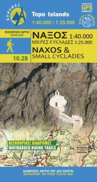
- Wandelkaart - Wegenkaart - landkaart 10.28 Naxos | Anavasi
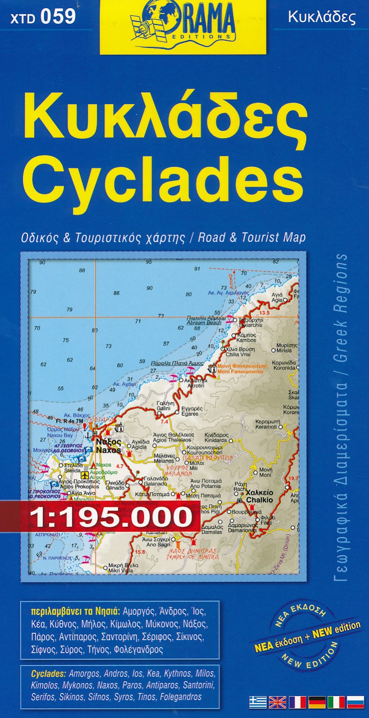
- Naxos on light, a waterproof and tear-resistant, contoured and GPS compatible map at 1:40,000 from Anavasi, highlighting 10 recommended hiking trails, plus on the reverse coverage of six smaller nearby islands in the Cyclades: Donoussa, Irakleia, Schoinousa / Schinousa, Upper and Lower Koufonisi, plus Keros.On one side is the map of Naxos.... Read more

Stanfords
United Kingdom
- Naxos & Small Cyclades Anavasi 10.28
- Naxos on light, a waterproof and tear-resistant, contoured and GPS compatible map at 1:40,000 from Anavasi, highlighting 10 recommended hiking trails, plus on the reverse coverage of six smaller nearby islands in the Cyclades: Donoussa, Irakleia, Schoinousa / Schinousa, Upper and Lower Koufonisi, plus Keros.On one side is the map of Naxos.... Read more