De Zwerver
Netherlands
Netherlands
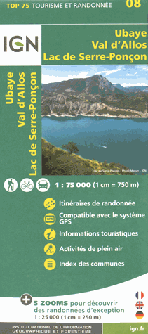
- Fietskaart - Wandelkaart 08 Ubaye, Val d'Allos, Lac de Serre-Poncon | IGN - Institut Géographique National
- Une carte générale de très grande lisibilité au 1/75 000 + 5 extraits de TOP25 au 1/25 000 en une seule carte ! Read more
- Also available from:
- Stanfords, United Kingdom

Stanfords
United Kingdom
United Kingdom
- Ubaye - Val d`Allos - Lac de Serre-Ponçon IGN 75008
- Ubaye - Val d`Allos - Lac de Serre-Ponçon region in a series of GPS compatible, contoured TOP 75 maps at 1:75,000 from the IGN, highlighting local and long-distance hiking paths, cycling routes and sites for other recreational activities. The map includes five large panels showing the areas around Petite Epervière, Grande Séolane, Aiguilles de... Read more