De Zwerver
Netherlands
2018
» Click to open
Stanfords
United Kingdom
2018
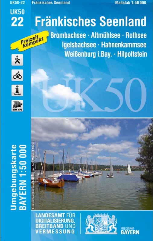
  • Franconia Lake District UK50-22
  • Franconia Lake District, map no. 50-22 covering an area around Altmühlsee, Rothsee, Bronbachsee, Ingelsbachsee, Hahnenkamm and Dennenloher See, in a series of special contoured and GP-compatible recreational maps from the Bavarian state survey organization, with cartography of the German topographic survey at 1:50,000 and extensive additional... Read more
» Click to close
De Zwerver
Netherlands
» Click to open
Stanfords
United Kingdom
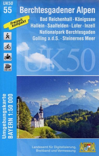
  • Berchtesgaden Alps - Bad Reichenhall - Konigssee UK50-55
  • Berchtesgaden Alps: Königssee - Bad Reichenhall area, map no. 50-55 including Hallein, Lofer and Saalfelden, in a series of special contoured and GP-compatible recreational maps from the Bavarian state survey organization, with cartography of the German topographic survey at 1:50,000 and extensive additional tourist overprint highlighting... Read more
» Click to close
De Zwerver
Netherlands
» Click to open
Stanfords
United Kingdom
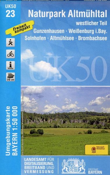
  • Altmuhltal NP West UK50-23
  • The western part of the Altmühl Valley Regional Park, map no. 50-23 covering an area around Weißenburg, Eichstätt, Gunzenhausen and Monheim, in a series of special contoured and GP-compatible recreational maps from the Bavarian state survey organization, with cartography of the German topographic survey at 1:50,000 and extensive additional... Read more
» Click to close
De Zwerver
Netherlands
» Click to open
Stanfords
United Kingdom
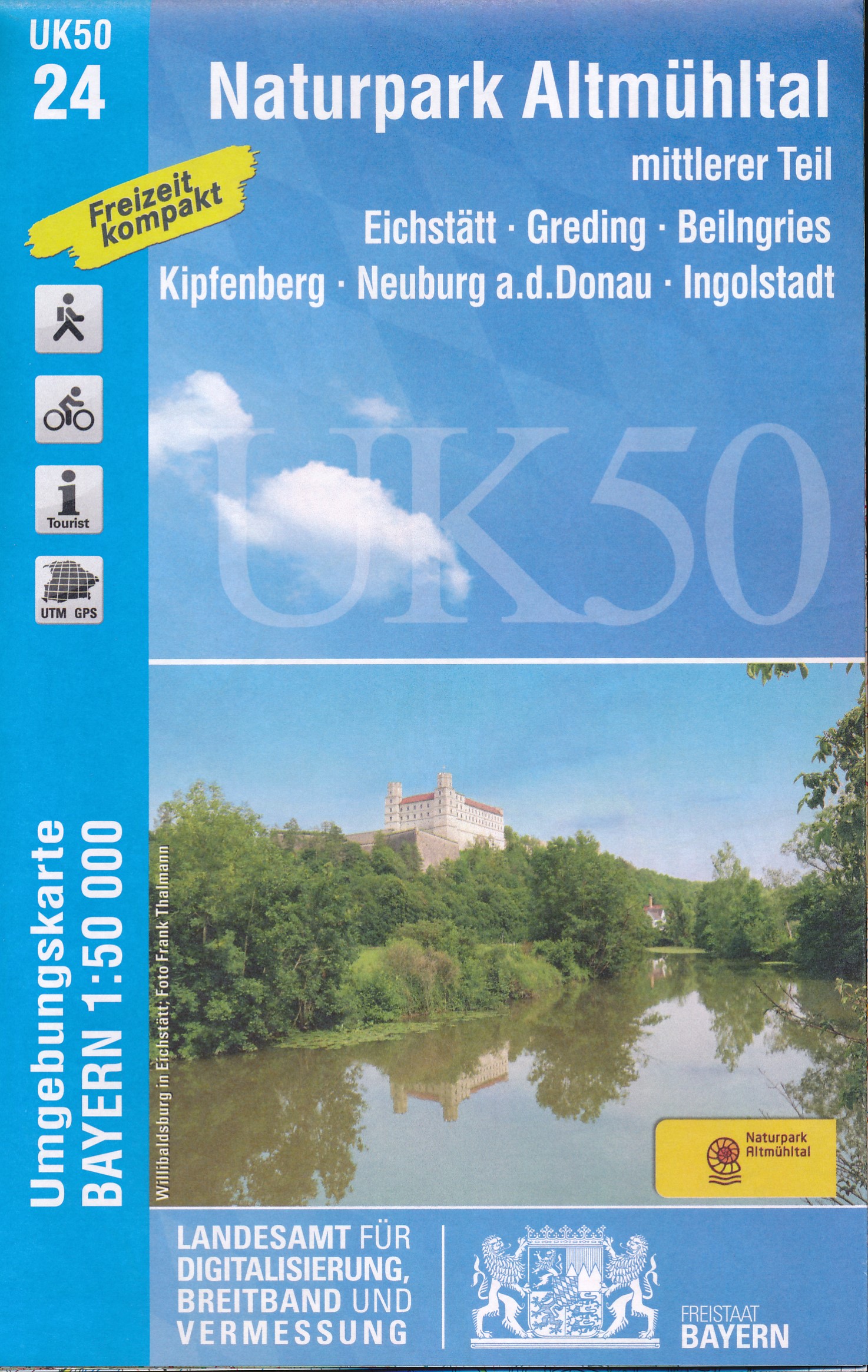
  • Altmuhltal NP Central UK50-24
  • The middle part of the Altmühl Valley Regional Park, map no. 50-24, in a series of special contoured and GP-compatible recreational maps from the Bavarian state survey organization, with cartography of the German topographic survey at 1:50,000 and extensive additional tourist overprint highlighting waymarked hiking trails and cycling routes,... Read more
» Click to close
De Zwerver
Netherlands
» Click to open
Stanfords
United Kingdom
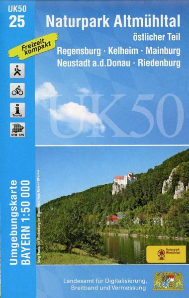
  • Altmuhltal NP East UK50-25
  • The eastern part of the Altmühl Valley Regional Park and the western environs of Regensburg, map no. 50-25 covering an area which includes Parsberg, Riedenburg, Mainburg and Kehlheim, in a series of special contoured and GP-compatible recreational maps from the Bavarian state survey organization, with cartography of the German topographic... Read more
» Click to close
Bol.com
Netherlands
» Click to open
Bol.com
Belgium
  • Frauenau 1 : 25 000
  • Frauenau in a series of GPS compatible recreational editions of the Bavarian topographic survey at 1:25,000, with waymarked hiking trails and cycling routes, campsites and youth hostels, etc. Coverage includes Bayerisch Eisenstein, Lindberg, Gro Read more
» Click to close
Stanfords
United Kingdom
Stanfords
United Kingdom
Stanfords
United Kingdom
Stanfords
United Kingdom
Stanfords
United Kingdom
Stanfords
United Kingdom
Stanfords
United Kingdom
Stanfords
United Kingdom
Stanfords
United Kingdom