De Zwerver
Netherlands
De Zwerver
Netherlands
De Zwerver
Netherlands
De Zwerver
Netherlands

Stanfords
United Kingdom
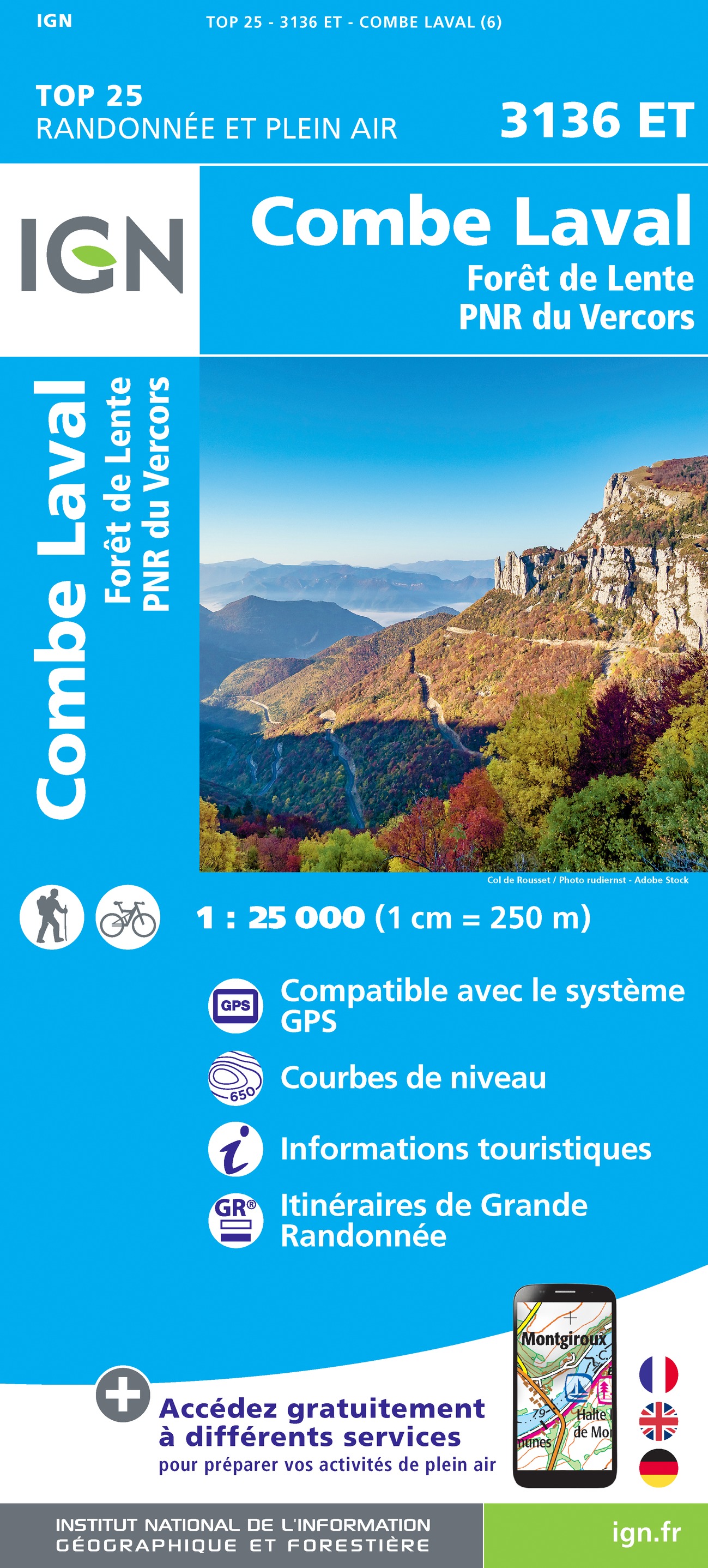
- Combe Laval - Foret de Lente - PNR du Vercors IGN 3136ET
- Topographic survey of France at 1:25,000 in IGN`s excellent TOP25 / Série Bleue series. All the maps are GPS compatible, with a 1km UTM grid plus latitude and longitude lines at 5’ intervals. Contours are at 5m intervals except for mountainous areas where the maps have contours at 10m intervals, vividly enhanced by hill shading and graphics for... Read more
De Zwerver
Netherlands
De Zwerver
Netherlands

Stanfords
United Kingdom
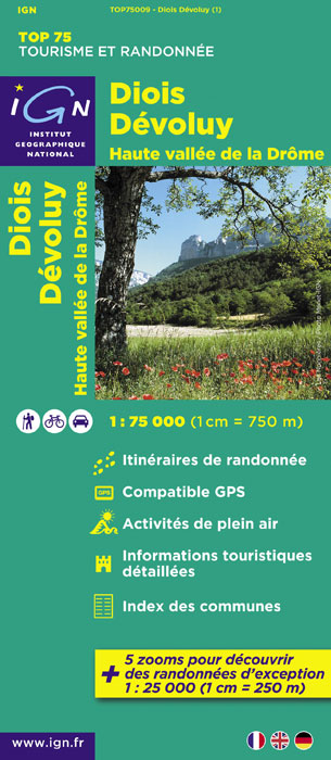
- Diois - Dévoluy - Haute Vallée de la Drôme IGN 75009
- Diois - Dévoluy - Haute Vallée de la Drôme region in a series of GPS compatible, contoured TOP 75 maps at 1:75,000 from the IGN, highlighting local and long-distance hiking paths, cycling routes and sites for other recreational activities. The map includes five large panels showing the areas around Valdrôme, Montagne de Céüse, Grange Tête de... Read more
De Zwerver
Netherlands
De Zwerver
Netherlands
De Zwerver
Netherlands

Stanfords
United Kingdom
- Mont-Ventoux IGN 3140ET
- Topographic survey of France at 1:25,000 in IGN`s excellent TOP25 / Série Bleue series. All the maps are GPS compatible, with a 1km UTM grid plus latitude and longitude lines at 5’ intervals. Contours are at 5m intervals except for mountainous areas where the maps have contours at 10m intervals, vividly enhanced by hill shading and graphics for... Read more
De Zwerver
Netherlands
De Zwerver
Netherlands

Stanfords
United Kingdom
- Luc-en-Diois - Valdrome - Col de Cabre IGN 3238OT
- Topographic survey of France at 1:25,000 in IGN`s excellent TOP25 / Série Bleue series. All the maps are GPS compatible, with a 1km UTM grid plus latitude and longitude lines at 5’ intervals. Contours are at 5m intervals except for mountainous areas where the maps have contours at 10m intervals, vividly enhanced by hill shading and graphics for... Read more
De Zwerver
Netherlands

De Zwerver
Netherlands
De Zwerver
Netherlands

Stanfords
United Kingdom
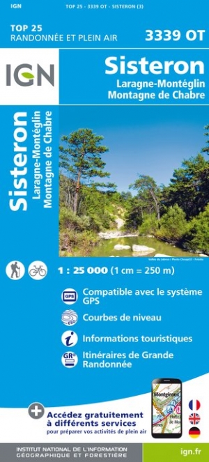
- Sisteron - Laragne-Monteglin - Montagne de Chabre IGN 3339OT
- Topographic survey of France at 1:25,000 in IGN`s excellent TOP25 / Série Bleue series. All the maps are GPS compatible, with a 1km UTM grid plus latitude and longitude lines at 5’ intervals. Contours are at 5m intervals except for mountainous areas where the maps have contours at 10m intervals, vividly enhanced by hill shading and graphics for... Read more

De Zwerver
Netherlands
Stanfords
United Kingdom
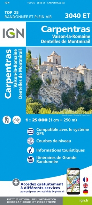
- Carpentras - Vaison-la-Romaine - Dentelles de Montmirail IGN 3040ET
- Between 2014 and 2019, the IGN renewed its entire Serie Bleue collection.A new map for optimal readability, with better geometric precision and enriched tourist information.A new format twice as large: the format of the new Serie Bleue is equivalent to that of the Top 25 and the number of references will thus be divided by 2.For most maps, the... Read more


