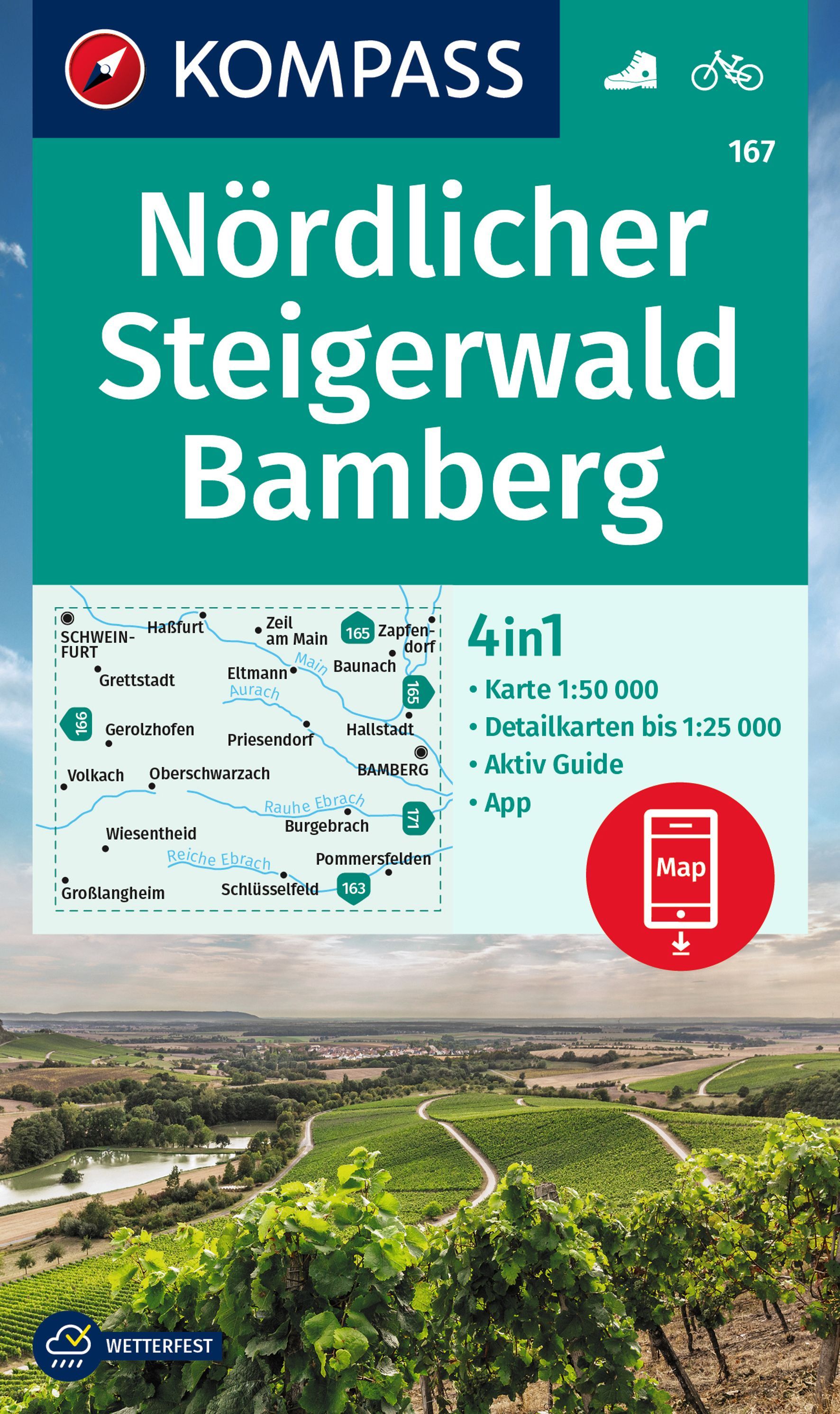
The northern part of the Steigerwald Regional Park, map no. 50-8 covering an area around Bamberg, Haßfurt, Kitzingen and Schweinfurt, in a series of special contoured and GP-compatible recreational maps from the Bavarian state survey organization, with cartography of the German topographic survey at 1:50,000 and extensive additional tourist...Read more