De Zwerver
Netherlands

Stanfords
United Kingdom
- Lier - Nijlen NGI Topo 16/5-6
- Topographical survey of Belgium at 1:20,000 from Nationaal Geografisch Instituut / Institut Géographique National, the country’s national survey organization. Each 20K map covers one quarter of the corresponding 1:50,000 map (with adjustments in the border and coastal areas). The maps provide all the information expected of topographic mapping... Read more
De Zwerver
Netherlands

Stanfords
United Kingdom
- Bertogne NGI Topo 60/7-8
- Topographical survey of Belgium at 1:20,000 from Nationaal Geografisch Instituut / Institut Géographique National, the country’s national survey organization. Each 20K map covers one quarter of the corresponding 1:50,000 map (with adjustments in the border and coastal areas). The maps provide all the information expected of topographic mapping... Read more
De Zwerver
Netherlands
Stanfords
United Kingdom
- Rouvroy NGI Topo 71/5-6
- Topographical survey of Belgium at 1:20,000 from Nationaal Geografisch Instituut / Institut Géographique National, the country’s national survey organization. Each 20K map covers one quarter of the corresponding 1:50,000 map (with adjustments in the border and coastal areas). The maps provide all the information expected of topographic mapping... Read more
De Zwerver
Netherlands

Stanfords
United Kingdom
- Zele NGI Topo 22/3-4
- Topographical survey of Belgium at 1:20,000 from Nationaal Geografisch Instituut / Institut Géographique National, the country’s national survey organization. Each 20K map covers one quarter of the corresponding 1:50,000 map (with adjustments in the border and coastal areas). The maps provide all the information expected of topographic mapping... Read more
De Zwerver
Netherlands
Stanfords
United Kingdom
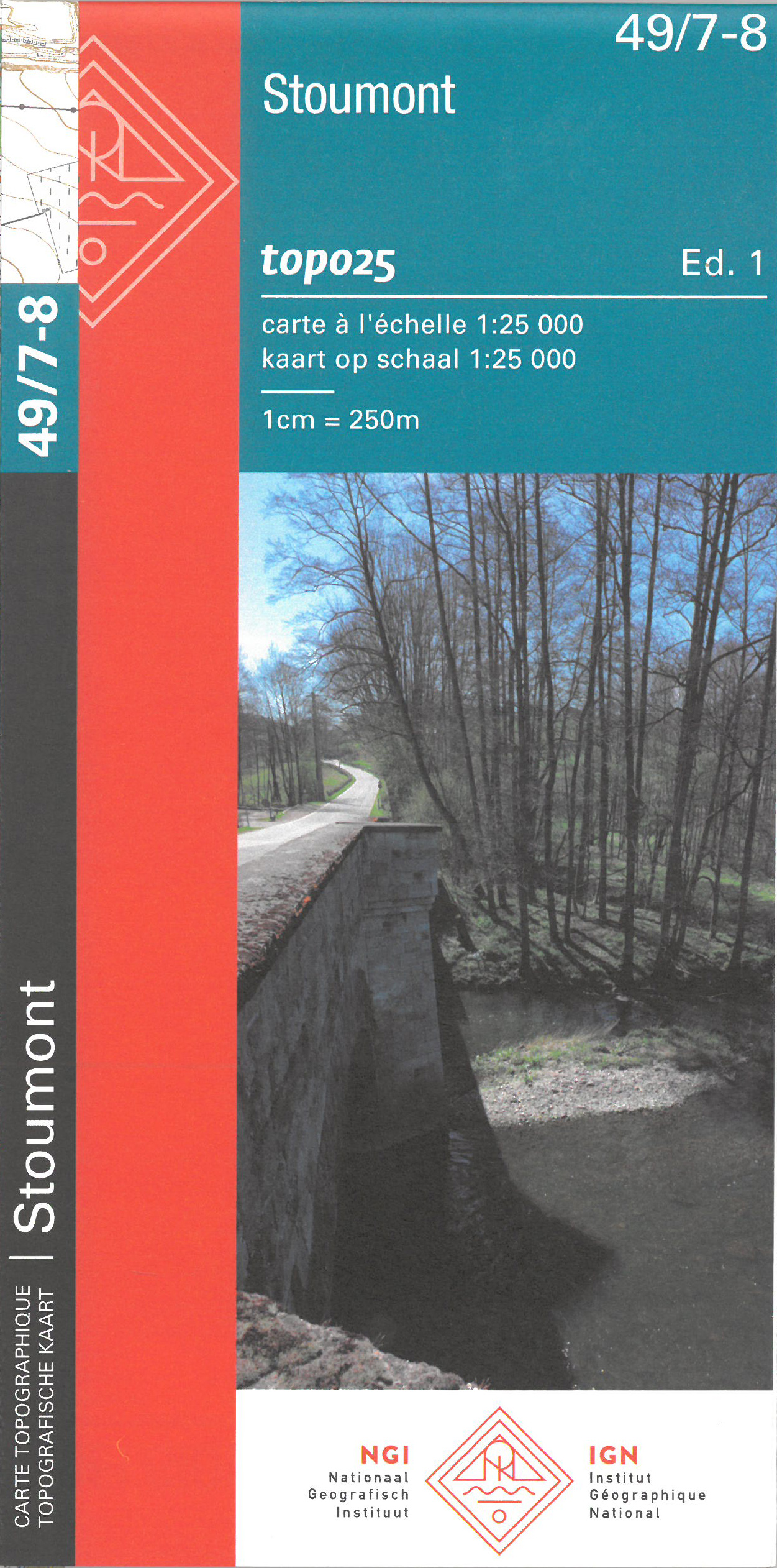
- Stoumont NGI Topo 49/7-8
- Topographical survey of Belgium at 1:20,000 from Nationaal Geografisch Instituut / Institut Géographique National, the country’s national survey organization. Each 20K map covers one quarter of the corresponding 1:50,000 map (with adjustments in the border and coastal areas). The maps provide all the information expected of topographic mapping... Read more
De Zwerver
Netherlands

Stanfords
United Kingdom
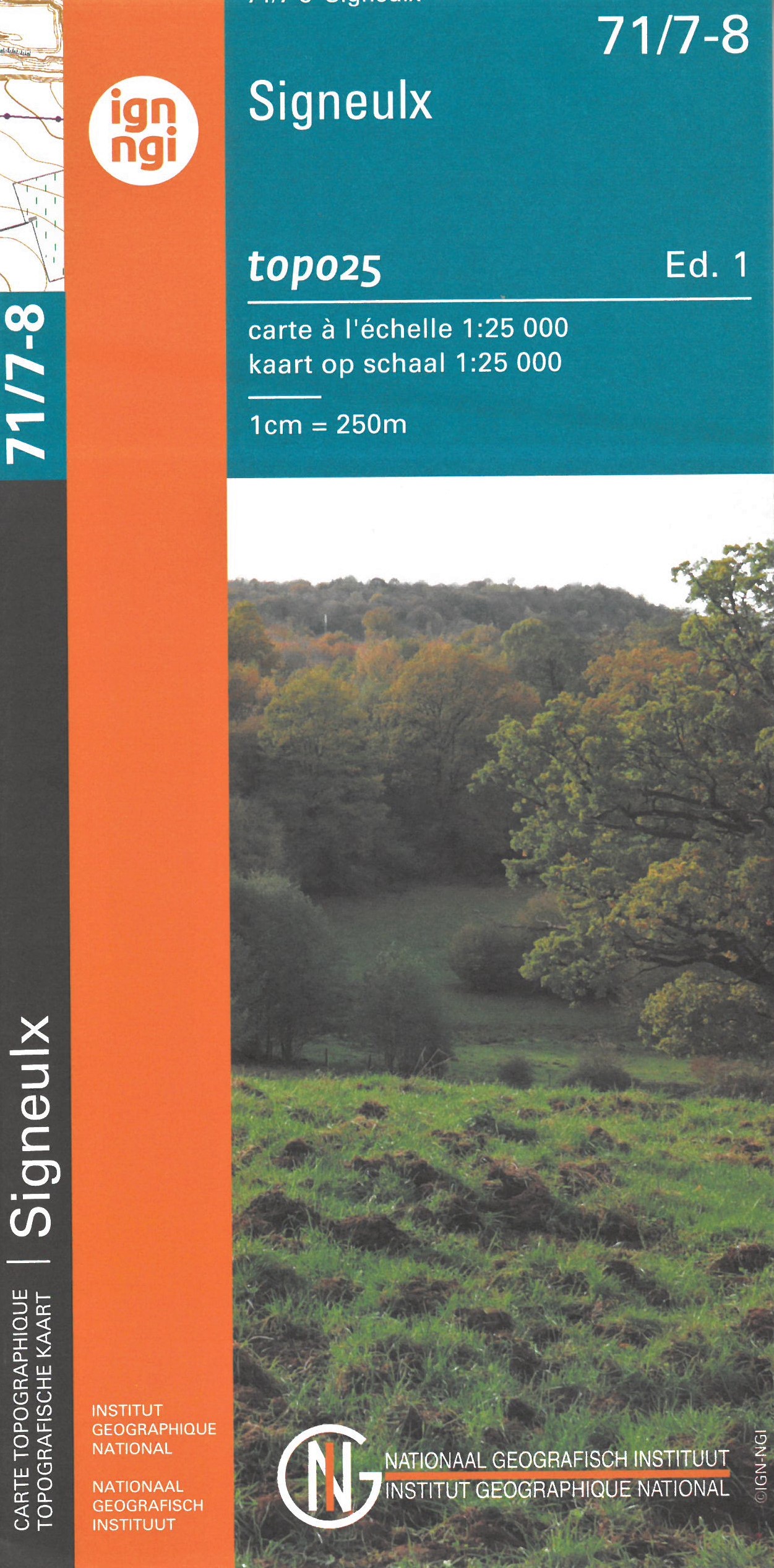
- Signeulx NGI Topo 71/7-8
- Topographical survey of Belgium at 1:20,000 from Nationaal Geografisch Instituut / Institut Géographique National, the country’s national survey organization. Each 20K map covers one quarter of the corresponding 1:50,000 map (with adjustments in the border and coastal areas). The maps provide all the information expected of topographic mapping... Read more
De Zwerver
Netherlands

Stanfords
United Kingdom
- Lommel NGI Topo 17/3-4
- Topographical survey of Belgium at 1:20,000 from Nationaal Geografisch Instituut / Institut Géographique National, the country’s national survey organization. Each 20K map covers one quarter of the corresponding 1:50,000 map (with adjustments in the border and coastal areas). The maps provide all the information expected of topographic mapping... Read more
De Zwerver
Netherlands
De Zwerver
Netherlands
De Zwerver
Netherlands
Stanfords
United Kingdom
- Couvin NGI Topo 57/7-8
- Topographical survey of Belgium at 1:20,000 from Nationaal Geografisch Instituut / Institut Géographique National, the country’s national survey organization. Each 20K map covers one quarter of the corresponding 1:50,000 map (with adjustments in the border and coastal areas). The maps provide all the information expected of topographic mapping... Read more
De Zwerver
Netherlands
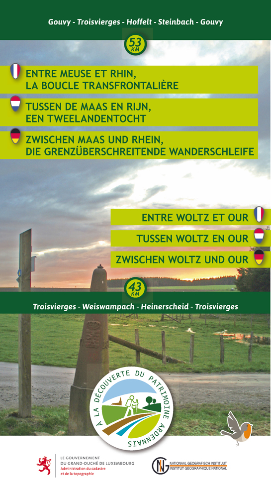
- Wandelkaart 01 Pays de Herve | Mini-Ardenne
- De wandelkaarten van Mini-Ardenne zijn volledig nieuw en op schaal 1/25000. De kaarten doen u belanden in een netwerk van honderden kilometers paden voor wandelaars, fietsers en ruiters. Door het gebruik van knooppunten (elk knooppunt is gelinkt aan een plaats), kunnen zowel de beginnende als de geoefende wandelaars de Ardennen en zijn... Read more

Stanfords
United Kingdom
- Pays de Herve Mini-Ardenne
- Ardennes Recreational Maps at a scale of 1:25,000 enable you to discover the Ardennes from junction to junction, each associated with a locality, through a network of hiking, cycling or riding paths.The network of mini walks consists of suggested routes with kilometre distance marked showing field boundaries and urbanised built up areas. ... Read more
De Zwerver
Netherlands
Stanfords
United Kingdom
- Tubize NGI Topo 39/1-2
- Topographical survey of Belgium at 1:20,000 from Nationaal Geografisch Instituut / Institut Géographique National, the country’s national survey organization. Each 20K map covers one quarter of the corresponding 1:50,000 map (with adjustments in the border and coastal areas). The maps provide all the information expected of topographic mapping... Read more
De Zwerver
Netherlands
Stanfords
United Kingdom
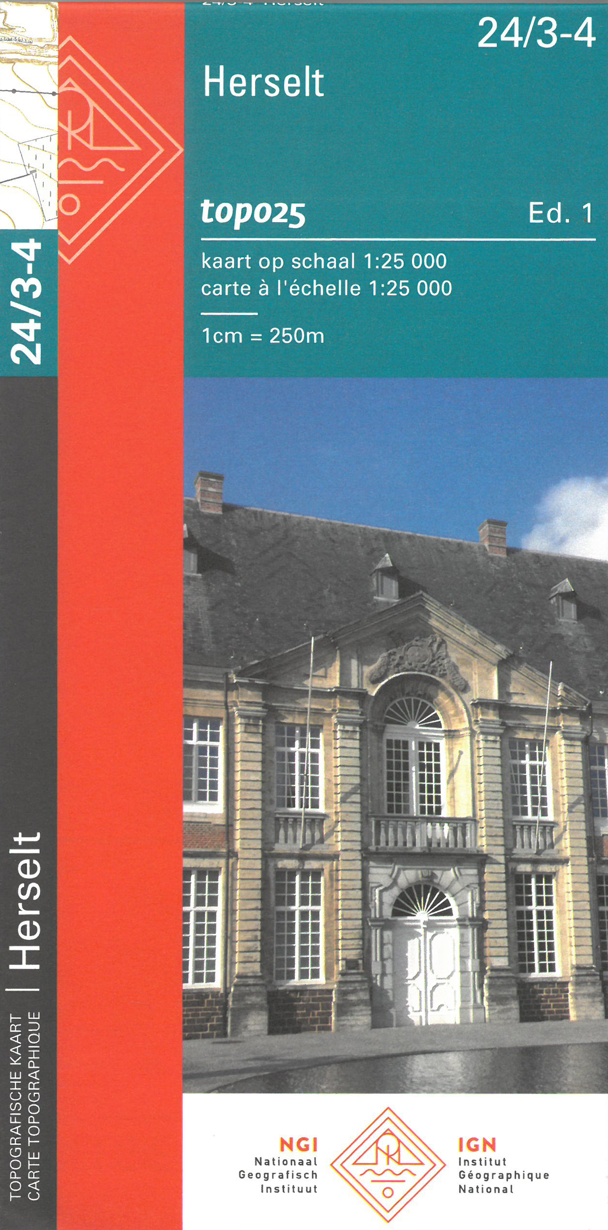
- Herselt NGI Topo 24/3-4
- Topographical survey of Belgium at 1:20,000 from Nationaal Geografisch Instituut / Institut Géographique National, the country’s national survey organization. Each 20K map covers one quarter of the corresponding 1:50,000 map (with adjustments in the border and coastal areas). The maps provide all the information expected of topographic mapping... Read more
De Zwerver
Netherlands
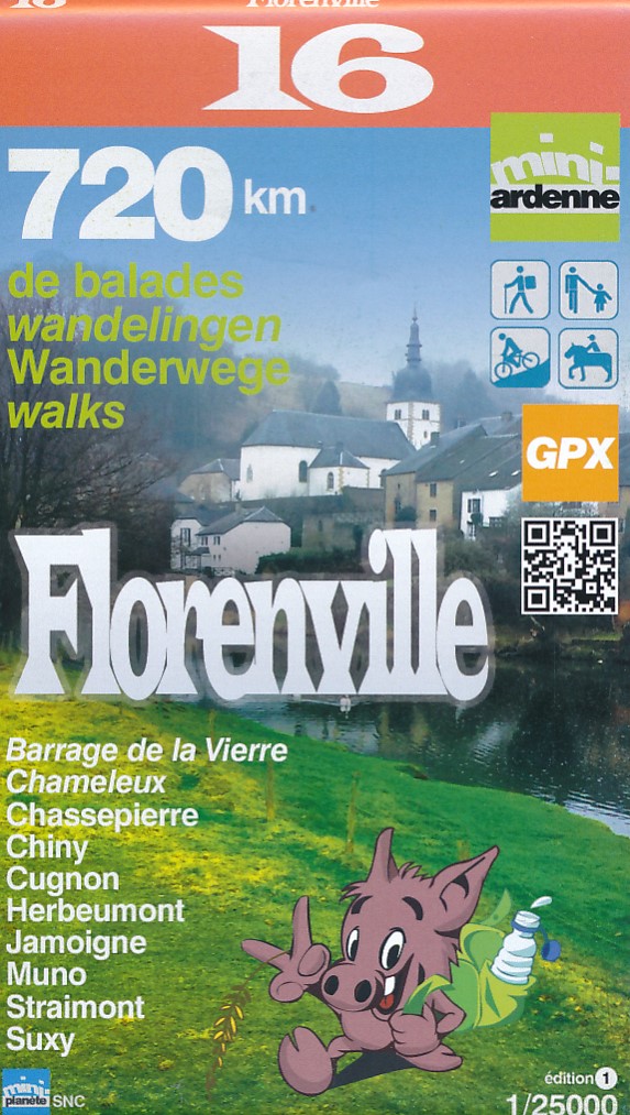
- Wandelkaart 16 Pays de la Semois - Florenville | Mini-Ardenne
- Handige overzichtelijke wandelkaart op een schaal van 1:25.000 van een deel van de Ardennen. In deze kaartenserie hebben de makers gekozen voor een belangrijke toeristische plaats als basis van de kaart. Naast een groot aantal ingetekende wandelroutes en paden met markering en knooppunten staan er ook toeristische bezienswaardigheden op en... Read more

Stanfords
United Kingdom
- Florenville Mini-Ardenne
- Ardennes Recreational Maps at a scale of 1:25,000 enable you to discover the Ardennes from junction to junction, each associated with a locality, through a network of hiking, cycling or riding paths. The network of mini walks consists of suggested routes with kilometre distance marked showing field boundaries and urbanised built up areas.... Read more
De Zwerver
Netherlands
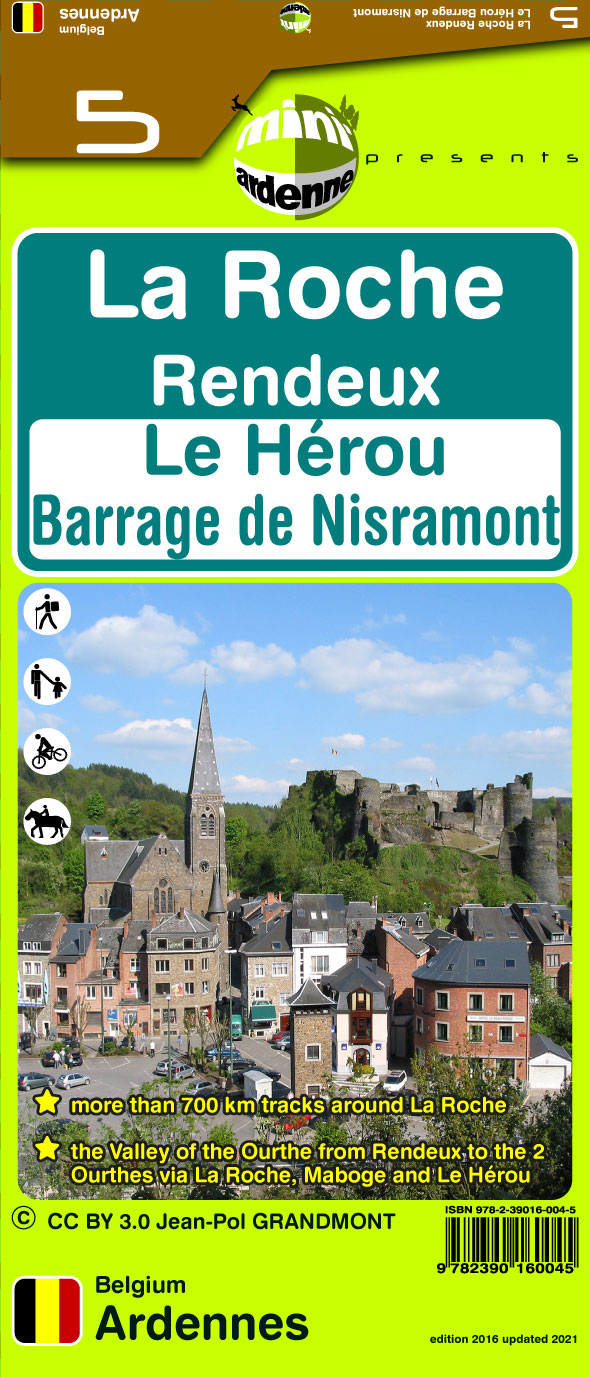
- Wandelkaart 05 La Roche | Mini-Ardenne
- De wandelkaarten van Mini-Ardenne zijn volledig nieuw en op schaal 1/25000. De kaarten doen u belanden in een netwerk van honderden kilometers paden voor wandelaars, fietsers en ruiters. Door het gebruik van knooppunten (elk knooppunt is gelinkt aan een plaats), kunnen zowel de beginnende als de geoefende wandelaars de Ardennen en zijn... Read more
