Lahntal on a waterproof, tear-resistant, GPS compatible cycling map at 1:75,000 from the ADFC (Allgemeiner Deutscher Fahrrad-Club - the official German cycling federation), in a series of maps with extensive overprint for long-distance and local cycling routes. GPS waypoints, route profiles, details of online links for information about...Read more
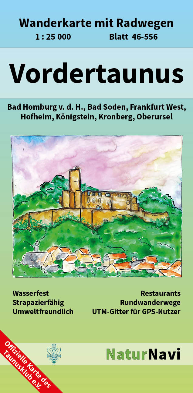
Vordertaunus 1 : 25 000, Blatt 46-556 ab 8.9 EURO Wanderkarte mit Radwegen. Bad Homburg v. d. H. , Bad Soden, Frankfurt West, Hofheim, K�nigstein, Kronberg, Oberursel NaturNavi Wanderkarte mit Radwegen. 1. AuflageRead more
Deutschland 05 Hessen 1 : 200 000 ab 10.9 EURO Touristische Informationen. Ortsregister mit Postleitzahlen. GPS-tauglich Deutschland Freytag & Berndt Auto + FreizeitkarteRead more
Deutschland 06 Thüringen 1 : 200 000 ab 10.9 EURO Touristische Informationen. Ortsregister mit Postleitzahlen. GPS-tauglich Deutschland Freytag & Berndt Autokarte. NeuauflageRead more
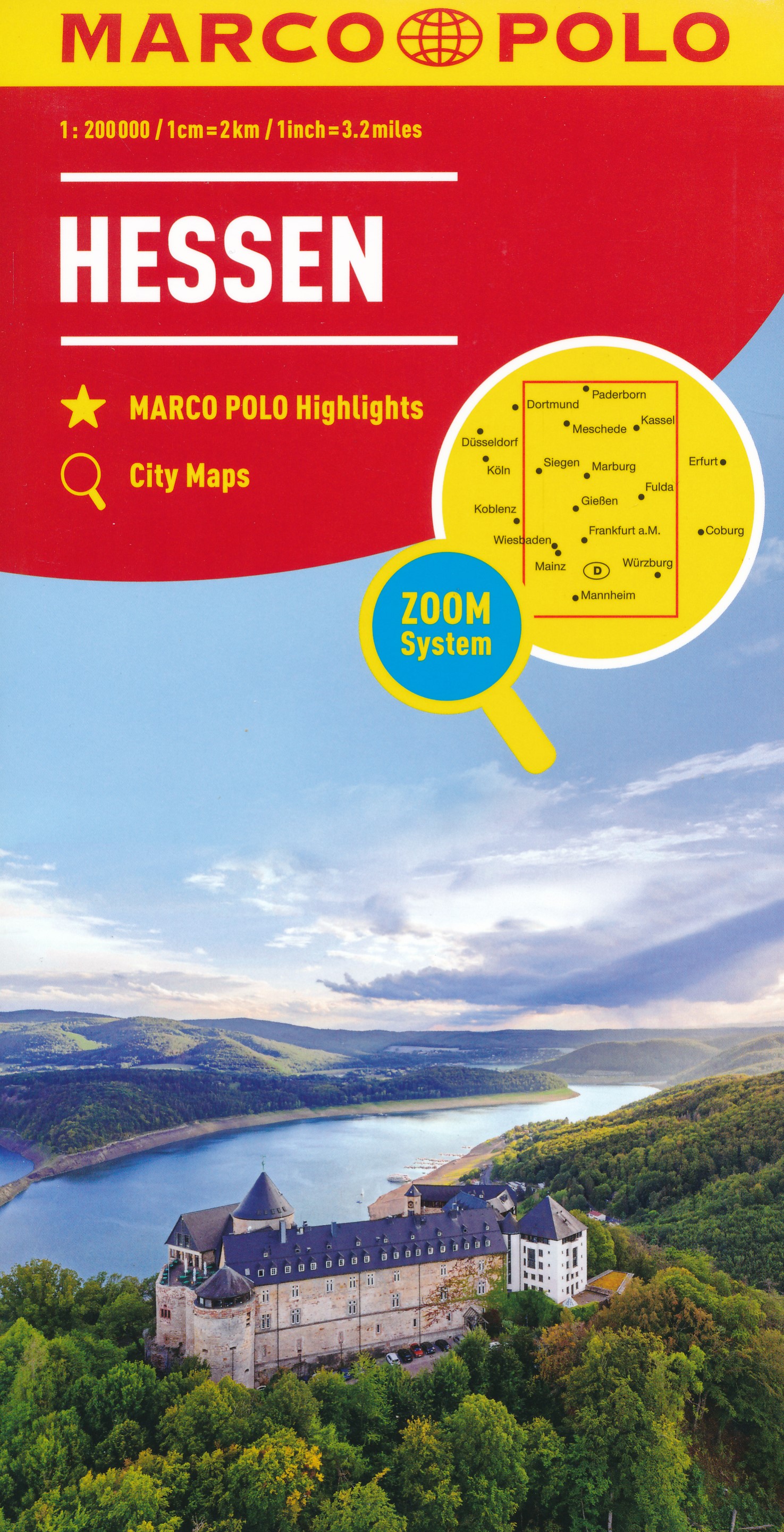
German state of Hesse on an indexed road map at 1:200,000 in the MairDumont’s Marco Polo series, prominently highlighting interesting locations and protected areas. A 95-page index booklet includes city centre street plans plus enlargements at 1:100,000 showing in greater detail the environs and road access to Darmstadt, Frankfurt, Gießen,...Read more
German state of Hesse on an indexed road map at 1:200,000 in the MairDumont’s Marco Polo series, prominently highlighting interesting locations and protected areas. A 95-page index booklet includes city centre street plans plus enlargements at 1:100,000 showing in greater detail the environs and road access to Darmstadt, Frankfurt, Gießen,...Read more
Stara Planina Western: Berkovita to Zlatitsa map at 1:50,000 from Bulgarian publishers Domino, contoured and GPS compatible, with hiking trails, accommodation options including a list of local mountain refuges, etc. The map is double-sided and covers the mountains from Varshets (directly north of Sofia) to just beyond Etrepole.Maps in the...Read more
Stara Planina Western: Berkovita to Zlatitsa map at 1:50,000 from Bulgarian publishers Domino, contoured and GPS compatible, with hiking trails, accommodation options including a list of local mountain refuges, etc. The map is double-sided and covers the mountains from Varshets (directly north of Sofia) to just beyond Etrepole.Maps in the...Read more
Strandzha Mountains in the south-eastern corner of Bulgaria between Burgas to the Turkish border on a contoured and GPS compatible map from Domino showing local hiking trails and highlighting various interesting sites, with three more detailed enlargements at 1:25,000. Most place names are in both Latin and Cyrillic alphabet; map legend...Read more
Strandzha Mountains in the south-eastern corner of Bulgaria between Burgas to the Turkish border on a contoured and GPS compatible map from Domino showing local hiking trails and highlighting various interesting sites, with three more detailed enlargements at 1:25,000. Most place names are in both Latin and Cyrillic alphabet; map legend...Read more
Rhine - Neckar Region on a waterproof, tear-resistant, GPS compatible cycling map at 1:75,000 from the ADFC (Allgemeiner Deutscher Fahrrad-Club - the official German cycling federation), in a series of maps with extensive overprint for long-distance and local cycling routes. GPS waypoints, route profiles, details of online links for information...Read more
Limburg a.d. Lahn und Umgebung 1 : 25 000, Blatt 43-558 ab 9.5 EURO Wanderkarte mit Radwegen, Elz, Diez, Hadamar, Hünfelden NaturNavi Wanderkarte mit Radwegen. 1. AuflageRead more