De Zwerver
Netherlands
Netherlands
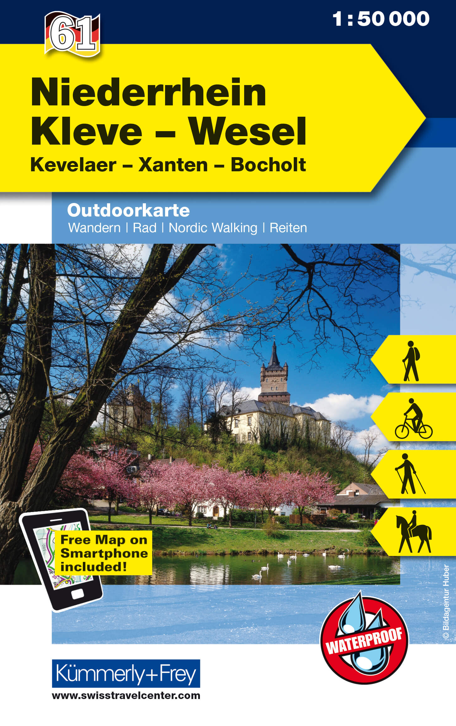
- Wandelkaart 61 Outdoorkarte Niederrhein, Kleve - Wesel | Kümmerly & Frey
- Lower Rhine - Kleve - Wesel area in western Germany at 1:50,000 from Kümmerly+Frey in a series GPS compatible, double-sided maps printed on durable, waterproof and tear-resistant plastic paper; contoured, with hiking and cycle routes, other recreational activities, etc.Maps in this series are at a scale of either 1:50,000 or 1:35,000. Contour... Read more
- Also available from:
- Stanfords, United Kingdom

Stanfords
United Kingdom
United Kingdom
- Lower Rhine - Kleve - Wesel - Xanten K+F Outdoor Map 61
- Lower Rhine - Kleve - Wesel area in western Germany at 1:50,000 from Kümmerly+Frey in a series GPS compatible, double-sided maps printed on durable, waterproof and tear-resistant plastic paper; contoured, with hiking and cycle routes, other recreational activities, etc.Maps in this series are at a scale of either 1:50,000 or 1:35,000. Contour... Read more