De Zwerver
Netherlands
Netherlands
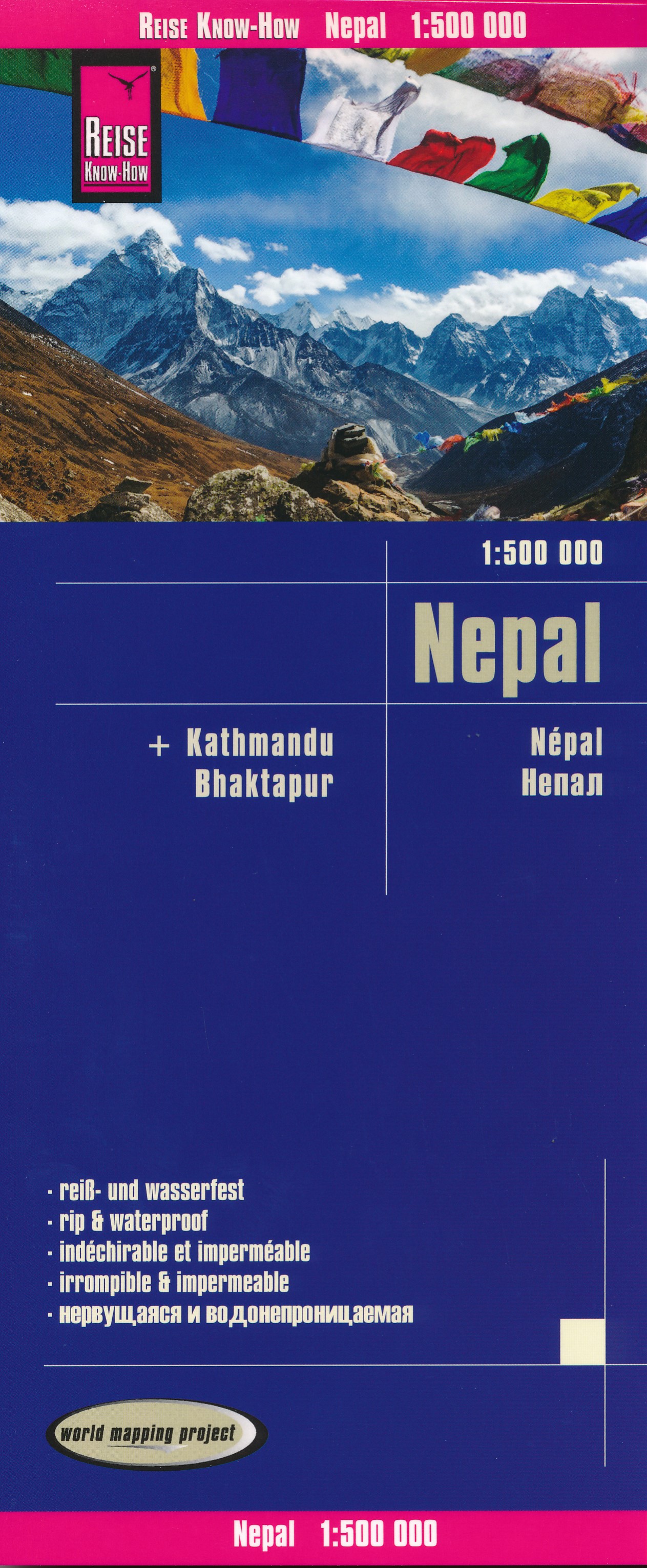
- Wegenkaart - landkaart Nepal | Reise Know-How Verlag
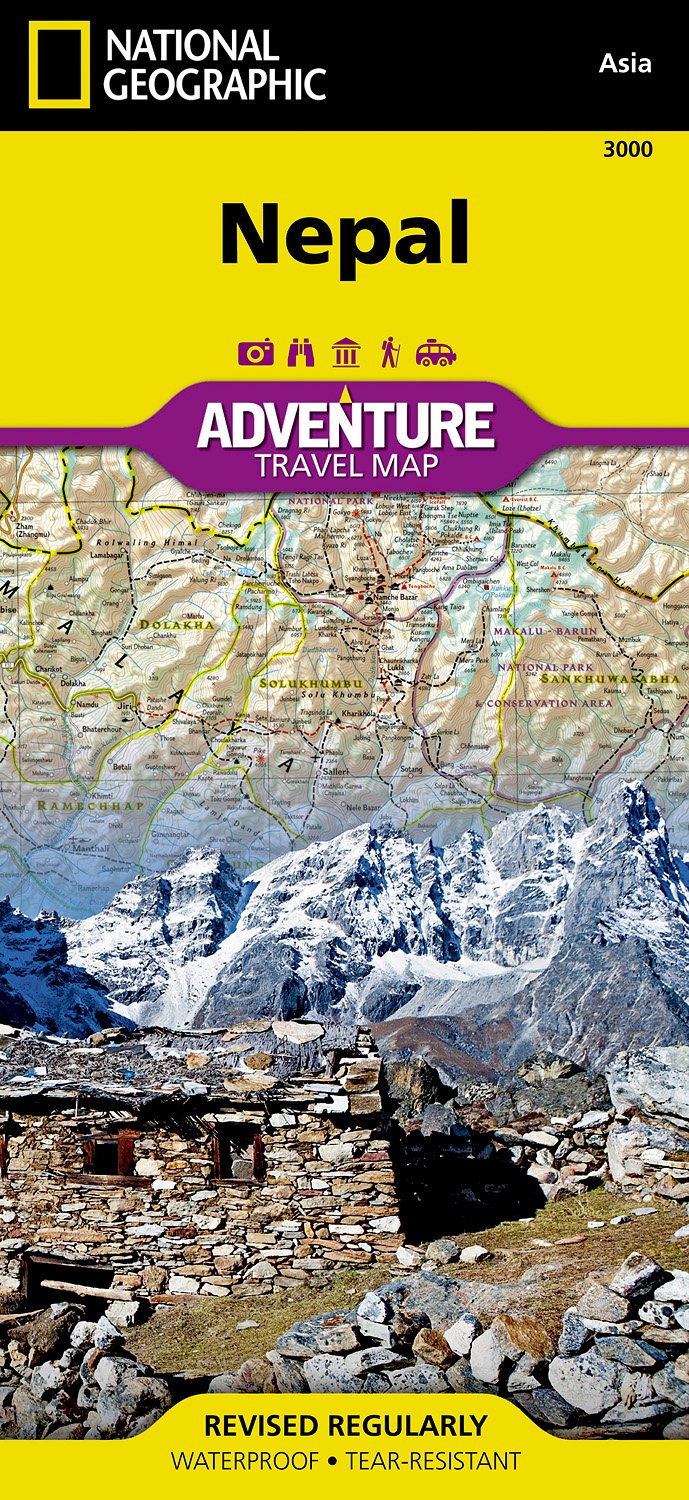
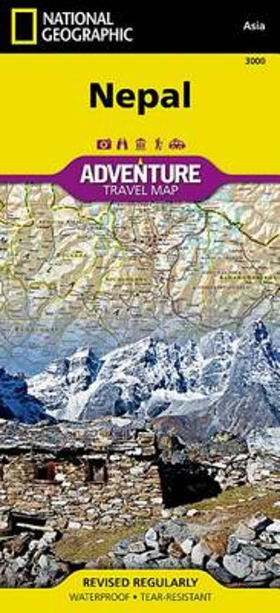
- Nepal on an indexed, waterproof and tear-resistant road map, ideal for locating the country`s numerous famous peaks, with topographic and tourist information, and enlargements for Kathmandu, Pokhara, and Chitwan regions, plus Bhaktapur. The map, published by Reise Know-How as part of their highly acclaimed World Mapping Project, is double-sided... Read more
- Also available from:
- Stanfords, United Kingdom

Stanfords
United Kingdom
United Kingdom
- Nepal Reise Know-How
- Nepal on an indexed, waterproof and tear-resistant road map, ideal for locating the country`s numerous famous peaks, with topographic and tourist information, and enlargements for Kathmandu, Pokhara, and Chitwan regions, plus Bhaktapur. The map, published by Reise Know-How as part of their highly acclaimed World Mapping Project, is double-sided... Read more