De Zwerver
Netherlands
2024
De Zwerver
Netherlands
2022
» Click to open
Stanfords
United Kingdom
2022
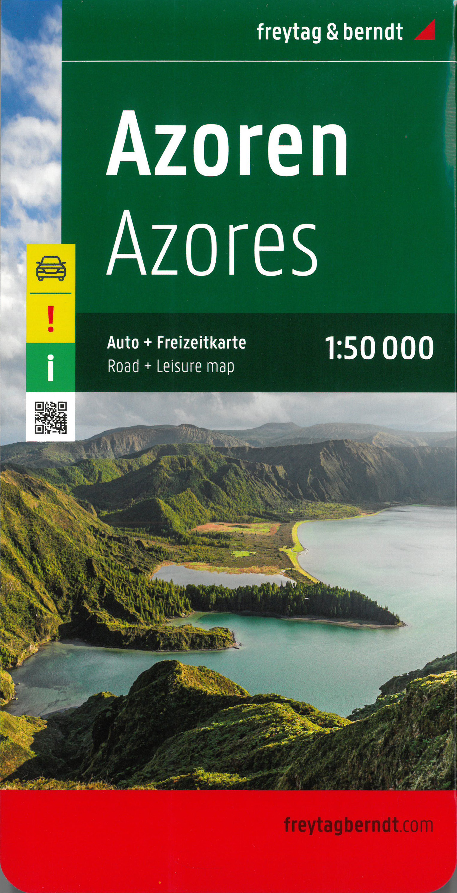
  • Azores F&B
  • This large double-sided road map of the Azores, at 1:50,000 from Freytag & Berndt, shows the islands both individually and as a group and comes with an attached index and concise leisure guide booklet. This map shows main and minor roads, motorways and toll roads, sections under construction or closed to traffic. Conveniently highlighted are... Read more
» Click to close
De Zwerver
Netherlands
2017
De Zwerver
Netherlands
» Click to open
Stanfords
United Kingdom
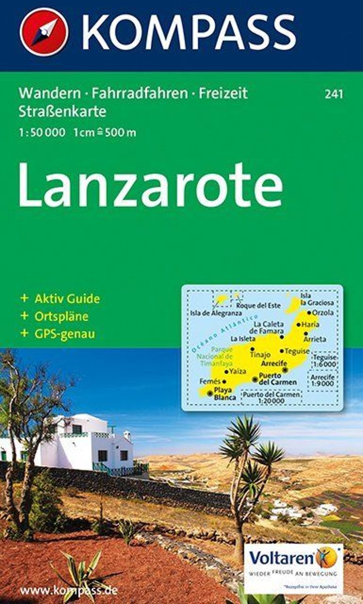
  • Lanzarote Kompass 241
  • Lanzarote at 1:50,000 on a contoured and GPS compatible map from Kompass, with extensive tourist overprint, plus street plans of Arrecife, Puerto del Carmen and Teguise. Coverage includes the nearby islands of Graciosa, Montaña Clara and Alwegranza.Topography is vividly presented by contours at 50m intervals, enhanced by relief shading plus... Read more
» Click to close
De Zwerver
Netherlands
De Zwerver
Netherlands
Bol.com
Netherlands
» Click to open
Bol.com
Belgium
  • Lanzarote WK241
  • Toeristische kaart voor wandelen, fietsen en vrije tijd met activiteitengids en stadsplattegronden • goed leesbare schaal van 1:50 000 • te gebruiken met GPS • met praktische informatie over de regio • wandel- en fietspaden • aanbevolen routes • kastelen • uitzichtpunten • stranden en baaien • toeristische informatie • veel topografische... Read more
» Click to close
Bol.com
Netherlands
2019
» Click to open
Bol.com
Belgium
2019
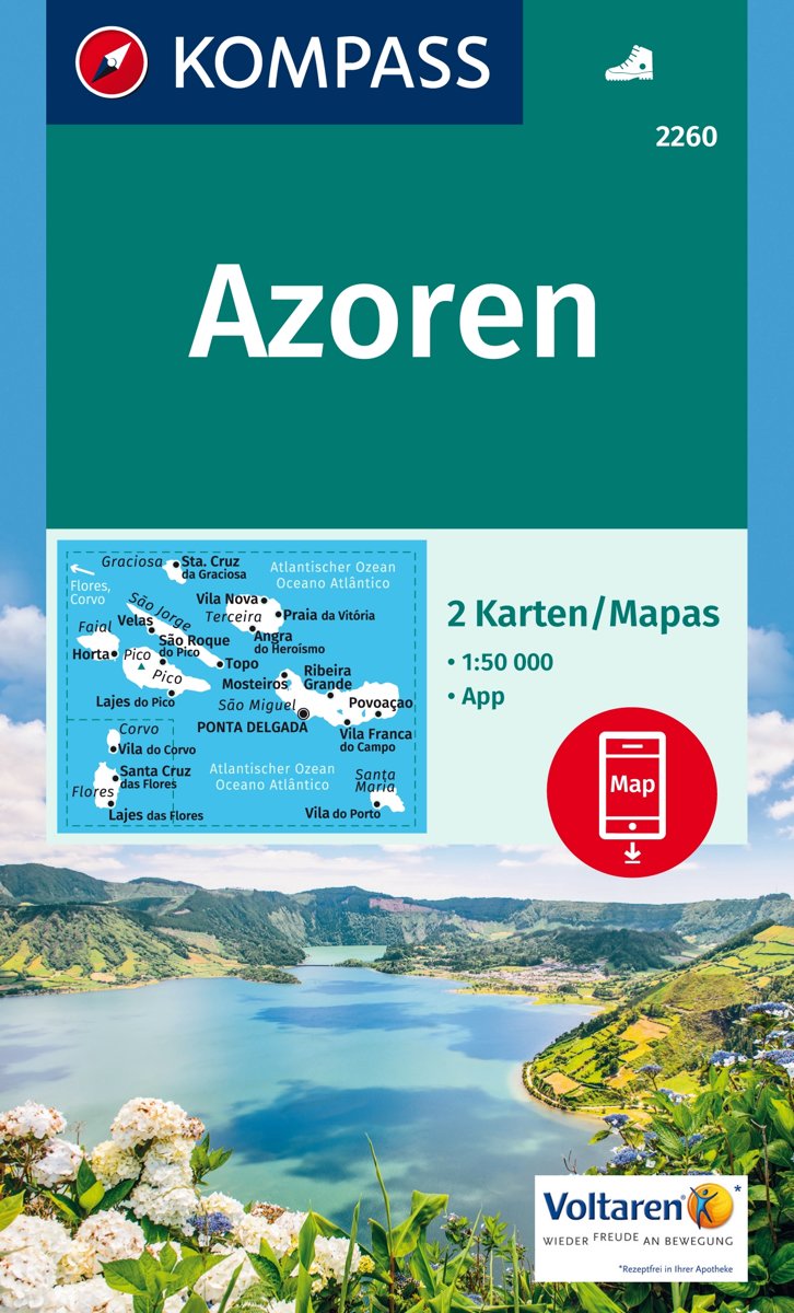
  • Azoren 1:50 000
  • . Die neun Azoren-Inseln gehören zu Portugal und liegen mitten im Atlantik - 1500 km von der Küste Portugals und 3500 km von Amerika entfernt; sie sind vulkanischen Ursprungs, wetterbedingt sehr grün und bieten ein gut markiertes Wandernetz.. Der Archipel besteht aus drei Inselgruppen - die östliche Gruppe mit Sao Miguel und Santa Maria, die... Read more
Stanfords
United Kingdom
2019
  • Azores Kompass 2-Map Set 2260
  • The Azores at 1:50,000 on a set of two double-sided, contoured and GPS compatible maps from Kompass, with grading of hiking trails according to the difficulty of the terrain, plus places of interest and facilities including campsites and selected hotels, beaches and watersport sites, golf courses, local bus stops, etc. One map covers São Jorge,... Read more
» Click to close
Stanfords
United Kingdom
Stanfords
United Kingdom
Stanfords
United Kingdom
Stanfords
United Kingdom
Stanfords
United Kingdom
Stanfords
United Kingdom
Stanfords
United Kingdom