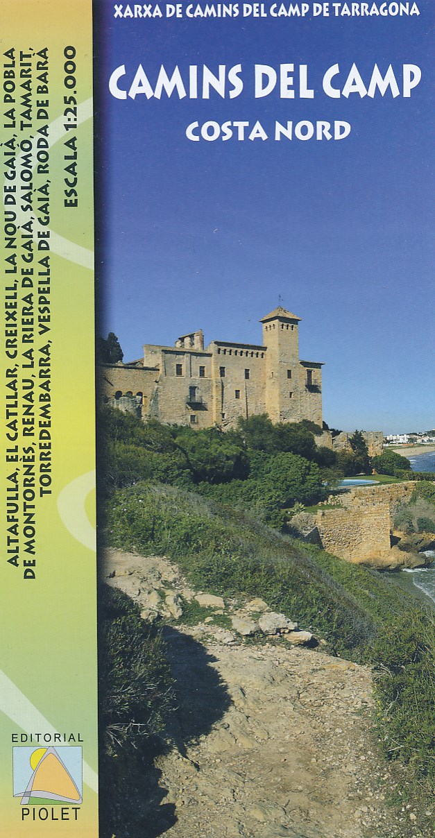
The coast of Costa Dorada from Tarragona eastwards to Creixell and its hinterland at 1:25,000 in a series of GPS compatible maps from Editorial Piolet with cartography based on SpainRead more
The coast of Costa Dorada from Tarragona eastwards to Creixell and its hinterland at 1:25,000 in a series of GPS compatible maps from Editorial Piolet with cartography based on Spain’s civilian topographic survey overprinted with hiking routes and other tourist information. In addition to the PR and GR hiking routes, the map highlights several...Read more
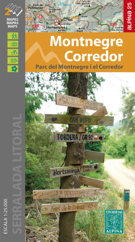
The Montnegre - Corredor Natural Park on the Costa Brava presented by Editorial Alpina at 1:25,000 on a contoured and GPS compatible map with an overprint highlighting hiking trails, various accommodation options, etc.Topography is shown by contours at 10m intervals, relief shading and vegetation colouring. In addition to footpaths, the...Read more
The Montnegre - Corredor Natural Park on the Costa Brava presented by Editorial Alpina at 1:25,000 on a contoured and GPS compatible map with an overprint highlighting hiking trails, various accommodation options, etc.Topography is shown by contours at 10m intervals, relief shading and vegetation colouring. In addition to footpaths, the...Read more
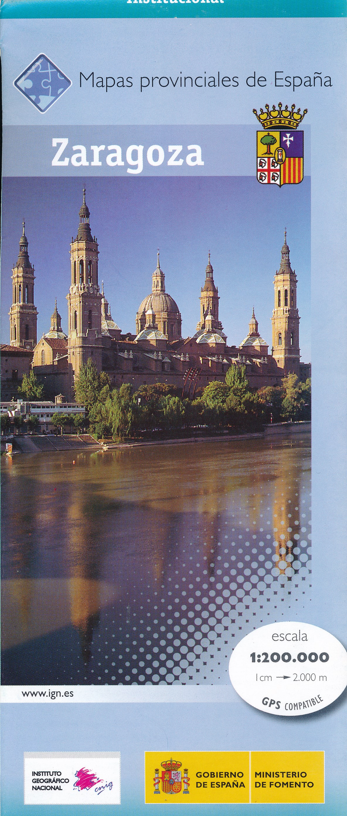
Zaragoza Province of Spain at 1:200,000 in a series of contoured, GPS-compatible, indexed road maps at 1:200,000 from the IGN/CNIG, the country’s civilian survey organization, with exceptionally informative presentation of the landscape and highlighting for facilities and places of interest including campsites and paradors.Maps in this series...Read more
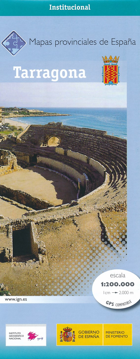
Contoured, GPS-compatible, indexed road map at 1:200,000 from CNIG - Spain’s civilian survey organization, with exceptionally informative presentation of the landscape and highlighting for facilities and places of interest including campsites and paradors.Maps in CNIG’s 200K Provincial Series provide an excellent picture the topography through...Read more
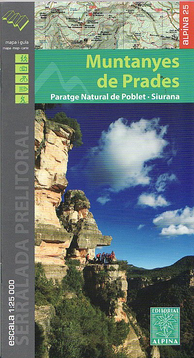
Wandelkaart Muntanyes de Prades, Paratge Natural de Poblet - Siurana - Mapa excursionista y guia Editorial Alpina schaal 1:25.000 met UTM grid. Op de topografische wandelkaart worden o.a. berghutten, campings aangeduid en hoogtelijnen, ingetekende wandelroutes en de GR paden (doorgaande langeafstandswandelpaden). Map of the Mountains of Prades...Read more
Montseny in an extensive and very popular series of walking maps from Editorial Alpina covering the Pyrenees, Catalonia and other selected hiking areas in Spain, including Picos de Europa, Sierra Nevada and parts of Andalucía, Majorca, etc. Scales vary from 1:50,000 to 1:10,000, with the majority of the titles at 1:25,000. The maps have...Read more
Montseny in an extensive and very popular series of walking maps from Editorial Alpina covering the Pyrenees, Catalonia and other selected hiking areas in Spain, including Picos de Europa, Sierra Nevada and parts of Andalucía, Majorca, etc. Scales vary from 1:50,000 to 1:10,000, with the majority of the titles at 1:25,000. The maps have...Read more
Contoured, GPS-compatible, indexed road map at 1:200,000 from CNIG - Spain’s civilian survey organization, with exceptionally informative presentation of the landscape and highlighting for facilities and places of interest including campsites and paradors.Maps in CNIG’s 200K Provincial Series provide an excellent picture the topography through...Read more