De Zwerver
Netherlands
Netherlands
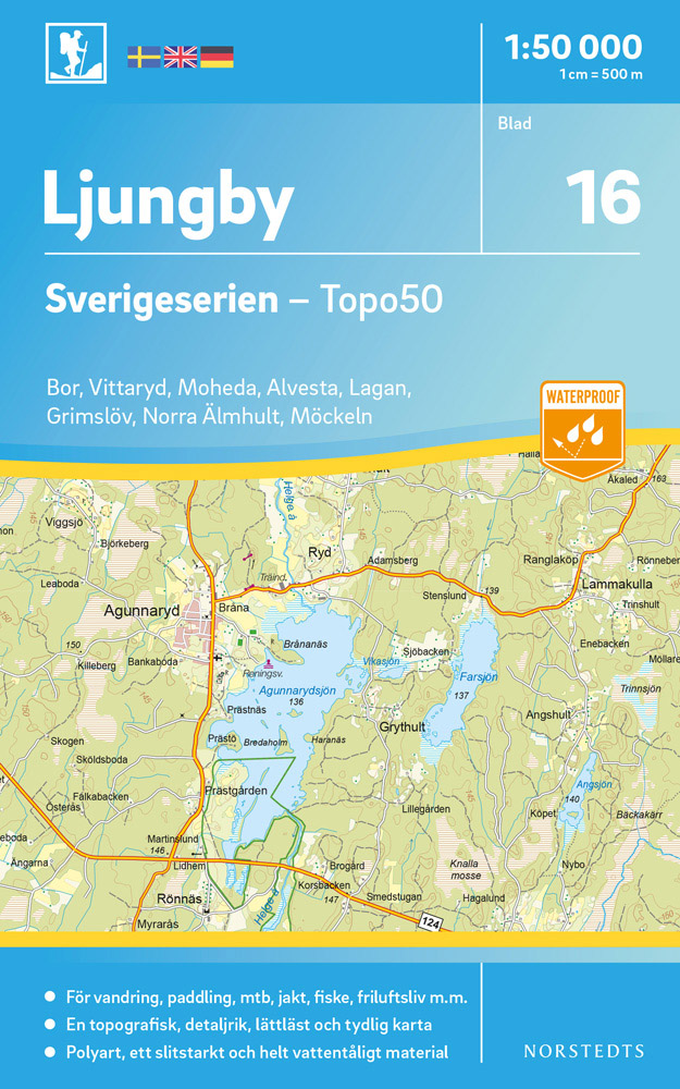
- Wandelkaart - Topografische kaart 16 Sverigeserien Ljungby | Norstedts
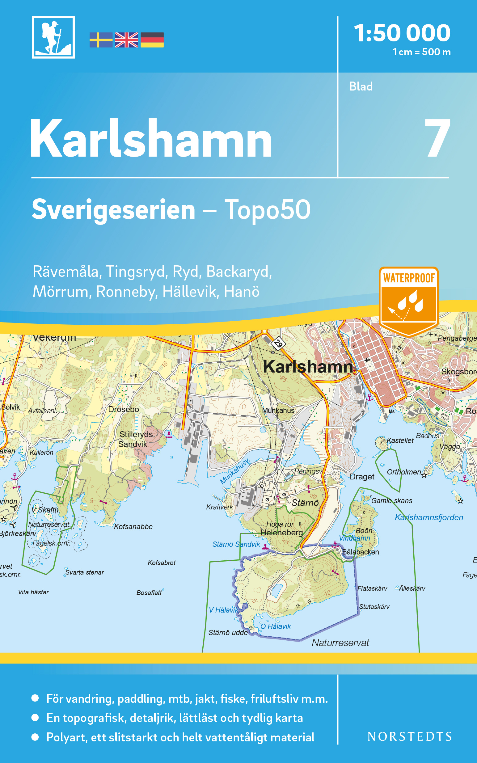
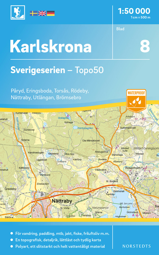
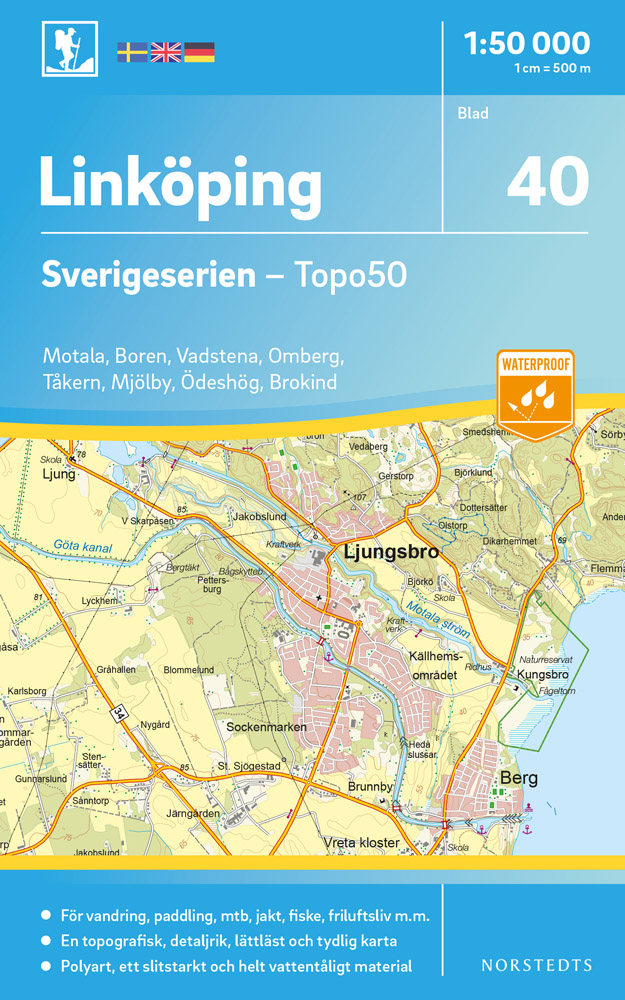
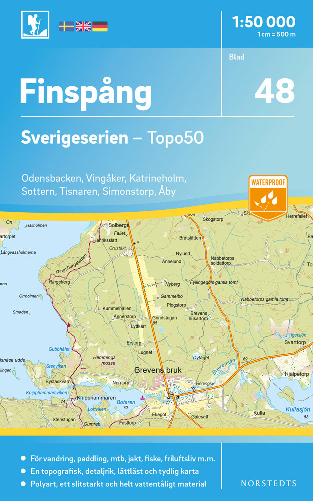
- Sverigeserien is an outdoor map series consisting of 116 sheets with coverage of southern and central Sweden and the northern coastline. The map is suitable for outdoor activities such as hiking, excursions, trail running, hunting, fishing, riding, cycling, mountain biking, paddling, skating and much more. Every sheet covers an area of... Read more