De Zwerver
Netherlands
» Click to open
Stanfords
United Kingdom
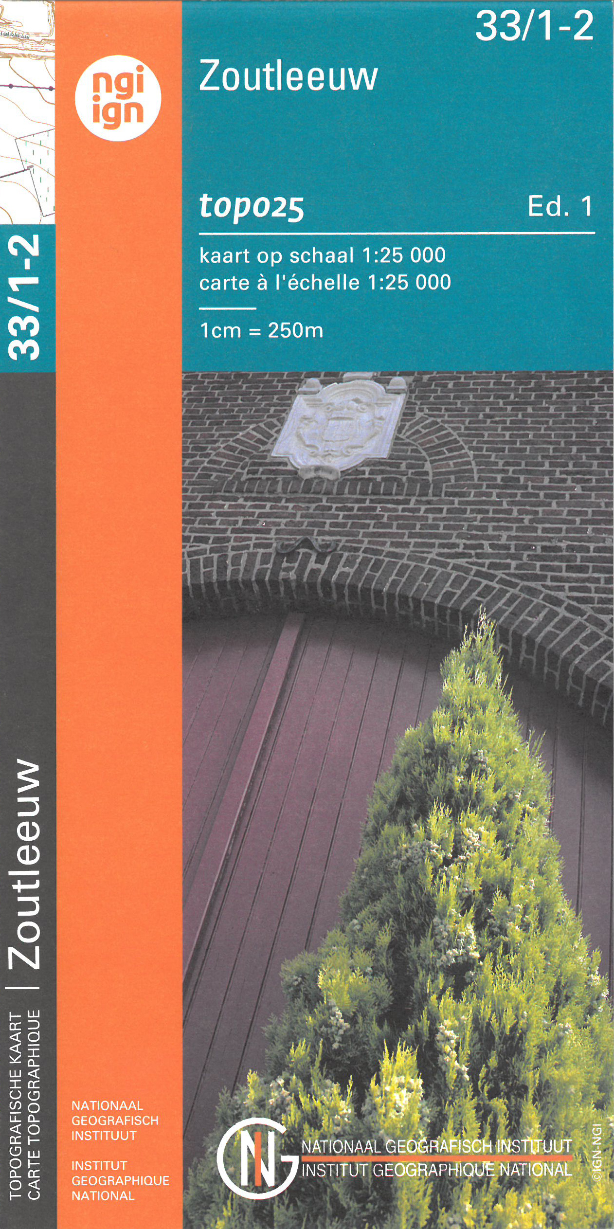
  • Zoutleeuw NGI Topo 33/1-2
  • Topographical survey of Belgium at 1:20,000 from Nationaal Geografisch Instituut / Institut Géographique National, the country’s national survey organization. Each 20K map covers one quarter of the corresponding 1:50,000 map (with adjustments in the border and coastal areas). The maps provide all the information expected of topographic mapping... Read more
» Click to close
De Zwerver
Netherlands
De Zwerver
Netherlands
» Click to open
Stanfords
United Kingdom
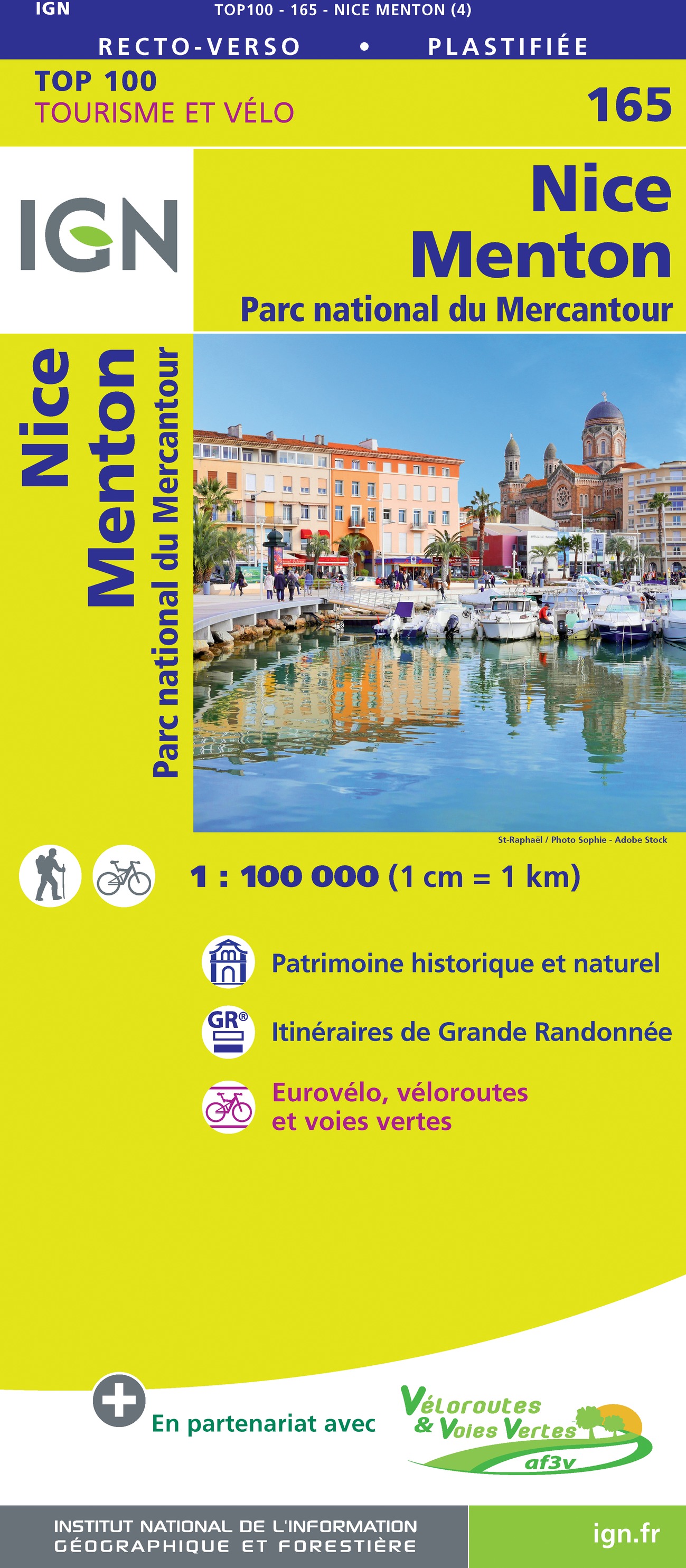
  • Nice - Menton - PN du Mercantour IGN TOP100 165
  • Discover the new double-sided laminated edition of TOP100 road maps of France from the Institut Géographique National (IGN); exceptionally detailed, contoured road maps which include the cycle paths and greenways of the AF3V (French Association for the Development of Cycle Paths and Greenways), ideal for exploring the French countryside by car,... Read more
» Click to close
De Zwerver
Netherlands
De Zwerver
Netherlands
» Click to open
Stanfords
United Kingdom
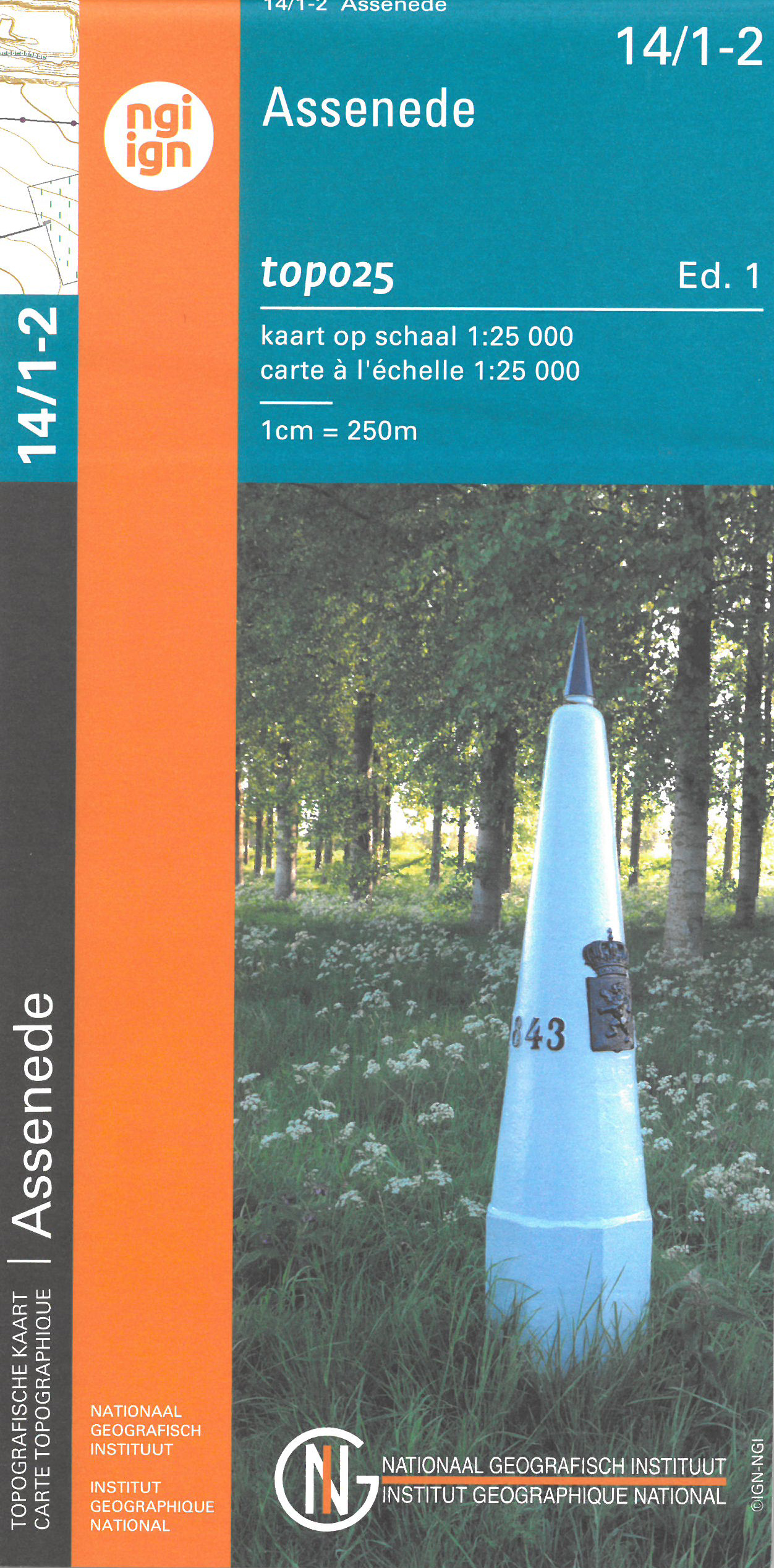
  • Assenede NGI Topo 14/1-2
  • Topographical survey of Belgium at 1:20,000 from Nationaal Geografisch Instituut / Institut Géographique National, the country’s national survey organization. Each 20K map covers one quarter of the corresponding 1:50,000 map (with adjustments in the border and coastal areas). The maps provide all the information expected of topographic mapping... Read more
» Click to close
De Zwerver
Netherlands
» Click to open
Stanfords
United Kingdom
  • Hoogstraten NGI Topo 08/1-2
  • Topographical survey of Belgium at 1:20,000 from Nationaal Geografisch Instituut / Institut Géographique National, the country’s national survey organization. Each 20K map covers one quarter of the corresponding 1:50,000 map (with adjustments in the border and coastal areas). The maps provide all the information expected of topographic mapping... Read more
» Click to close
De Zwerver
Netherlands
» Click to open
Stanfords
United Kingdom
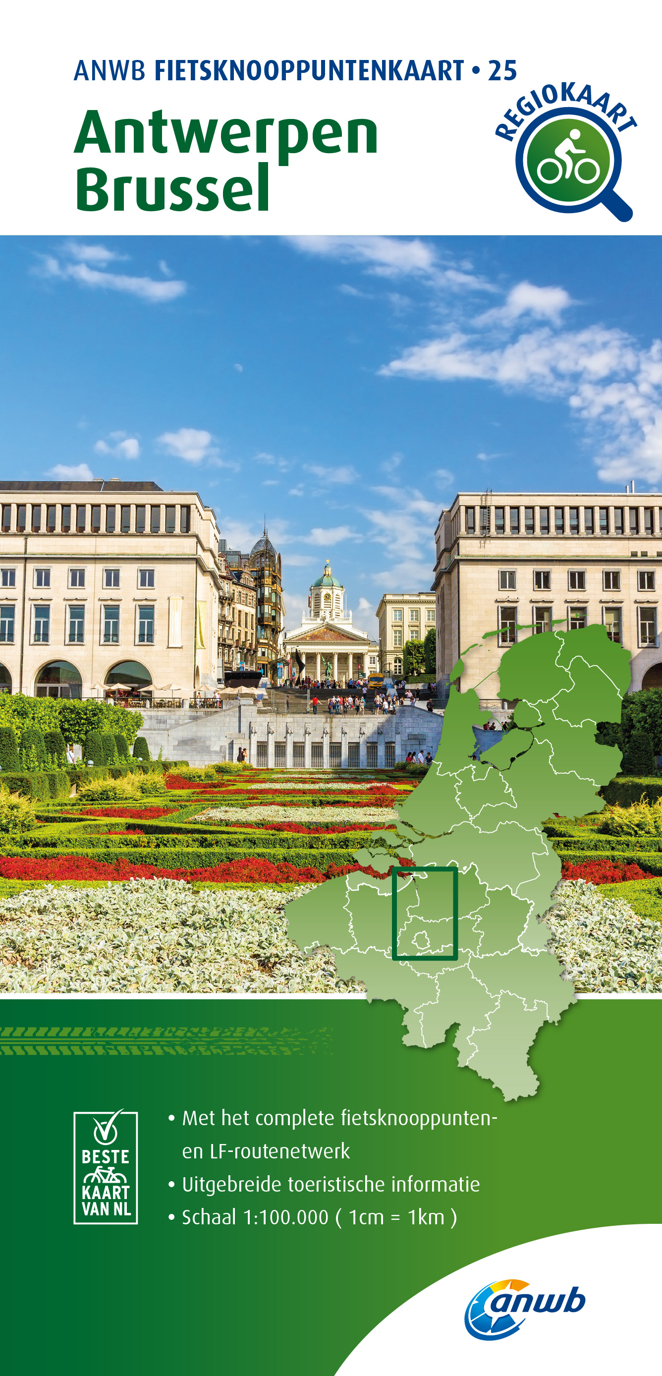
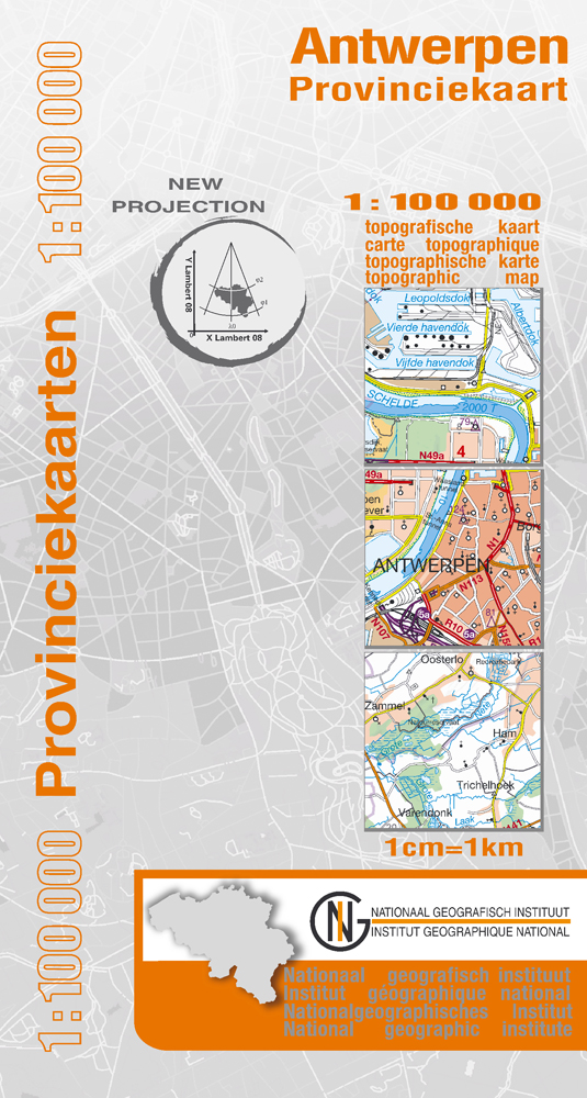
  • Antwerp Province
  • Antwerp Province at 1:100,000 in a series of GPS compatible topographic maps from the Nationaal Geografisch Instituut/Institut Géographique National, Belgium`s national survey organization, each with a separate index booklet covering the whole country.Described by the publishers as a topographic series, the maps do carry all the information... Read more
» Click to close
De Zwerver
Netherlands
» Click to open
Stanfords
United Kingdom
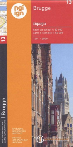
  • Bruges NGI Topo 13
  • Topographical survey of Belgium at 1:50,000 from the country’s national survey organization, Nationaal Geografisch Instituut / Institut Géographique National. Contour interval varies according to the terrain, from 2.5 metres in the coastal areas to 10 metres in the Ardennes. The maps provide all the information expected of topographic mapping... Read more
» Click to close
De Zwerver
Netherlands
De Zwerver
Netherlands
» Click to open
Stanfords
United Kingdom
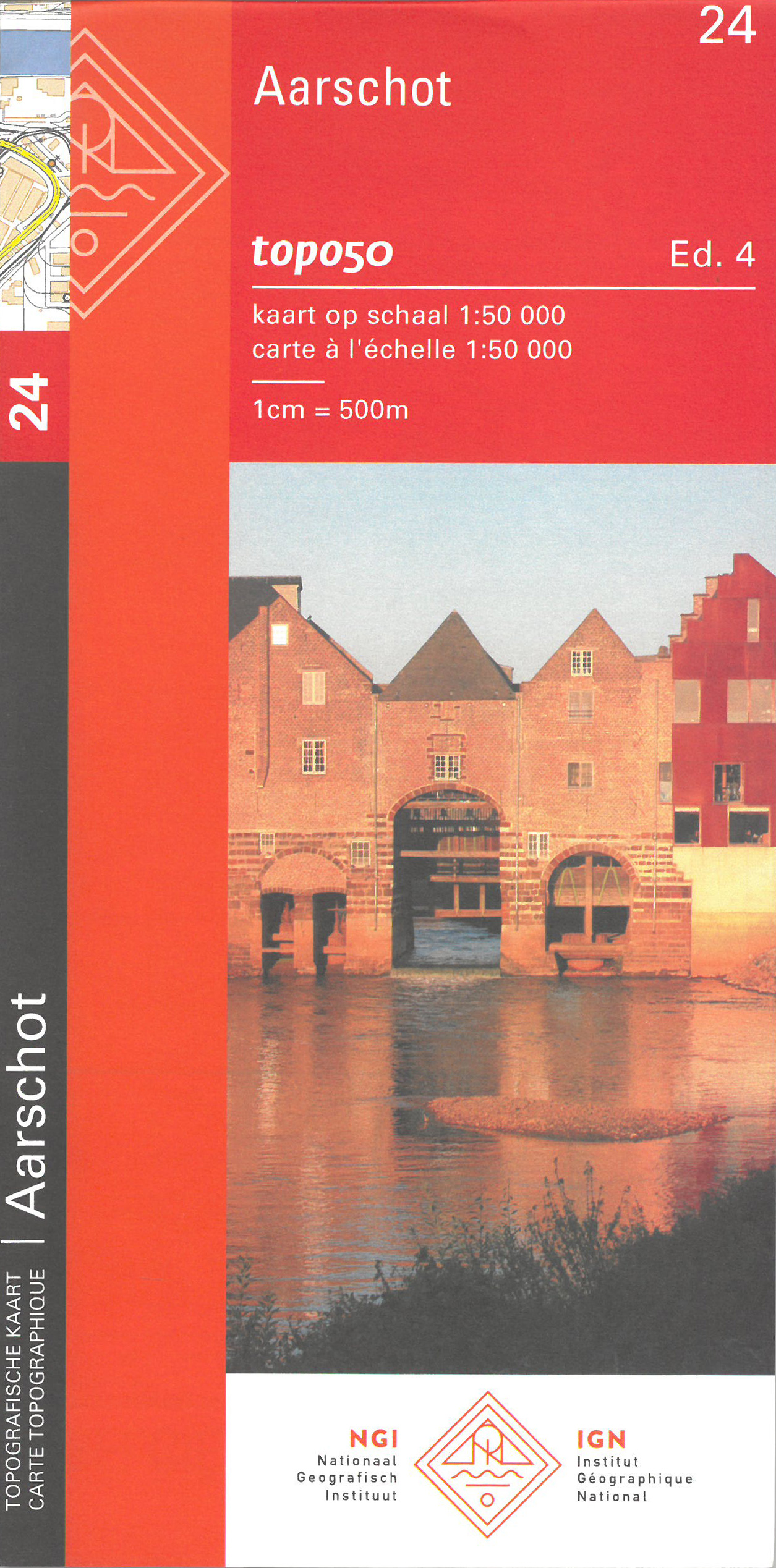
  • Aarschot NGI Topo 24
  • Topographical survey of Belgium at 1:50,000 from the country’s national survey organization, Nationaal Geografisch Instituut / Institut Géographique National. Contour interval varies according to the terrain, from 2.5 metres in the coastal areas to 10 metres in the Ardennes. The maps provide all the information expected of topographic mapping... Read more
» Click to close
De Zwerver
Netherlands
2019
De Zwerver
Netherlands
» Click to open
Stanfords
United Kingdom
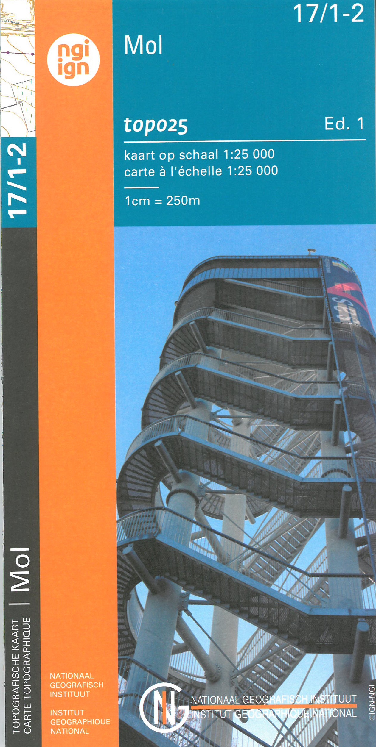
  • Mol NGI Topo 17/1-2
  • Topographical survey of Belgium at 1:20,000 from Nationaal Geografisch Instituut / Institut Géographique National, the country’s national survey organization. Each 20K map covers one quarter of the corresponding 1:50,000 map (with adjustments in the border and coastal areas). The maps provide all the information expected of topographic mapping... Read more
» Click to close
De Zwerver
Netherlands
2021
De Zwerver
Netherlands
» Click to open
Stanfords
United Kingdom
  • Hannut NGI Topo 41/1-2
  • Topographical survey of Belgium at 1:20,000 from Nationaal Geografisch Instituut / Institut Géographique National, the country’s national survey organization. Each 20K map covers one quarter of the corresponding 1:50,000 map (with adjustments in the border and coastal areas). The maps provide all the information expected of topographic mapping... Read more
» Click to close
De Zwerver
Netherlands
» Click to open
Stanfords
United Kingdom
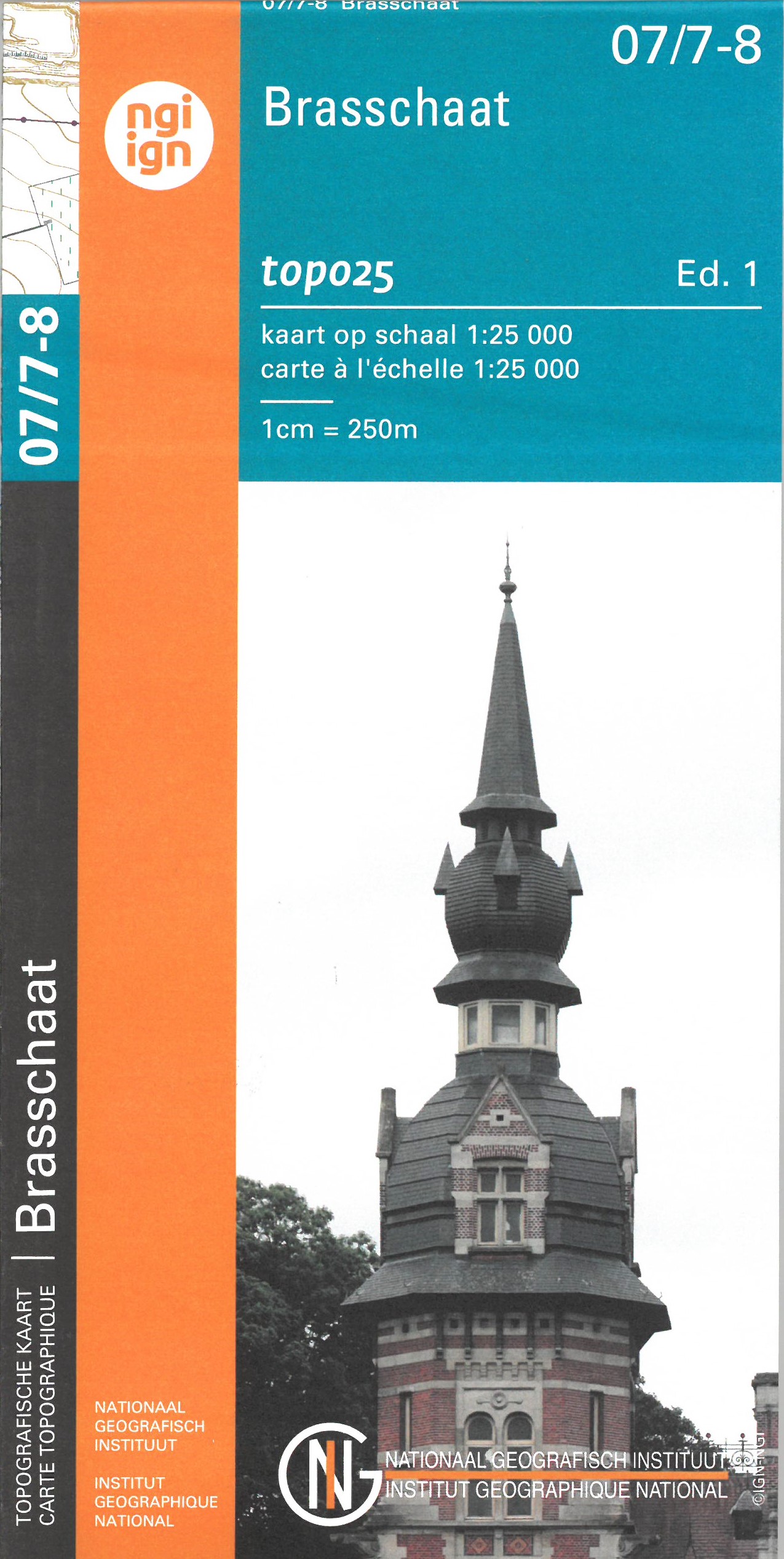
  • Brasschaat NGI Topo 7/7-8
  • Topographical survey of Belgium at 1:20,000 from Nationaal Geografisch Instituut / Institut Géographique National, the country’s national survey organization. Each 20K map covers one quarter of the corresponding 1:50,000 map (with adjustments in the border and coastal areas). The maps provide all the information expected of topographic mapping... Read more
» Click to close