De Zwerver
Netherlands
Netherlands
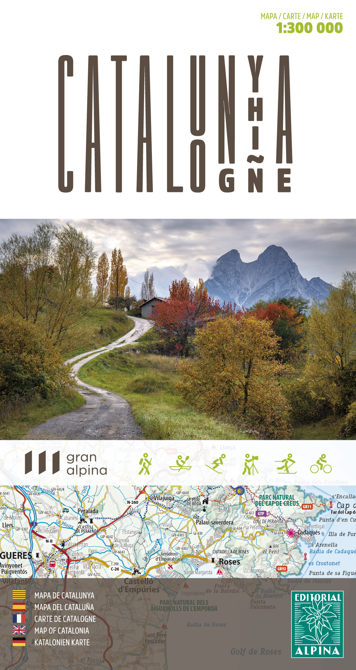
- Wandelkaart - Wegenkaart - landkaart Catalunya - Catalonië Overzichtskaart LAW | Editorial Alpina
- Een handige overzichtskaart van Catalonië waarop alle GR-s en andere lange astands wandelpaden staan ingetekend. Waar mogelijk is er ook extra informatie toegevoegd als berghutten en toeristische hoogtepunten van de regio. Een mooie kaart als je een langere route in dit gebied wilt plannen. Read more