De Zwerver
Netherlands
Netherlands
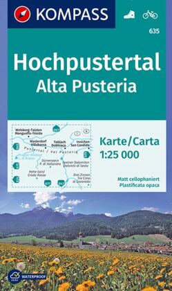
- Wandelkaart 635 Hochpustertal - Alta Pusteria | Kompass
- Map No. 635, Alta Pusteria/Hochpustertal, at 1:25,000 from Kompass printed on sturdy, waterproof and tear-resistant synthetic paper in a series providing detailed coverage of the Dolomites and the Lake Garda area. Maps in this series supplement the publishers' main series of walking maps of Italy at 1:50,000 and have a more detailed base and... Read more
- Also available from:
- Stanfords, United Kingdom

Stanfords
United Kingdom
United Kingdom
- Alta Pusteria / Hochpustertal Kompass 635
- Map No. 635, Alta Pusteria/Hochpustertal, at 1:25,000 from Kompass printed on sturdy, waterproof and tear-resistant synthetic paper in a series providing detailed coverage of the Dolomites and the Lake Garda area. Maps in this series supplement the publishers` main series of walking maps of Italy at 1:50,000 and have a more detailed base and... Read more