
De Zwerver
Netherlands
- Wandelkaart 08 Alpi marittime e Liguri | IGC - Istituto Geografico Centrale
- A cross-border area of the Maritime and Ligurian Alps at 1:50,000, with coverage on the Italian side including Limone, Alpi Maritime PN and Alta Valle Pesio e Tanaro PN, plus in France Tende, Vallée des Merveilles and Saorge, in a series contoured hiking maps with local trails, long-distance footpaths, mountain accommodation, etc. from the... Read more

Stanfords
United Kingdom
- Maritime and Ligurian Alps IGC 8
- A cross-border area of the Maritime and Ligurian Alps at 1:50,000, with coverage on the Italian side including Limone, Alpi Maritime PN and Alta Valle Pesio e Tanaro PN, plus in France Tende, Vallée des Merveilles and Saorge, in a series contoured hiking maps with local trails, long-distance footpaths, mountain accommodation, etc. from the... Read more
Bol.com
Netherlands
- Kompass WK2450 Cinque Terre
- Deze Kompass wandelkaart is ideaal om uw route uit te stippelen en om onderweg te gebruiken • naast de bekende bestemmingen, worden ook de minder bekende vermeld • openbaar vervoer bij begin- of eindpunt van een route aangegeven • eenvoudige wandelingen tot pittige (berg)tochten, voor getrainde en ongetrainde wandelaars • met heel veel nieuwe... Read more
Bol.com
Belgium
- Kompass WK2450 Cinque Terre
- Deze Kompass wandelkaart is ideaal om uw route uit te stippelen en om onderweg te gebruiken • naast de bekende bestemmingen, worden ook de minder bekende vermeld • openbaar vervoer bij begin- of eindpunt van een route aangegeven • eenvoudige wandelingen tot pittige (berg)tochten, voor getrainde en ongetrainde wandelaars • met heel veel nieuwe... Read more

Stanfords
United Kingdom
- Riviera di Ponente: Finale Ligure to Albenga 25K Ed. Multigraphic Map No. 104
- Map No. 104, covering at 1:25,000 the coast of the Italian Riviera from Finale Ligure to Albenga and inland beyond Monte Carmo. The map is part of a series of walking maps from Edizioni Multigraphic covering the Ligurian Alps and the coast, the crest of the Apennines along the border between Tuscany with the neighbouring regions, and parts of... Read more

Stanfords
United Kingdom
- Gruppi Argentera e Marguareis Edizioni Multigraphic 109/115
- Gruppi Argentera e Marguareis, map no. 109/115 at 1:25,000 from Edizioni Multigraphic covering the Italian Alps along the southern part of the border between Piedmont and France, south of Cuneo. Coverage includes the Pallanfre Reserve, Colle di Tenda / Col de Tende, and Parco Naturale Valle Pesio. Map corners give latitude and longitude based... Read more

Stanfords
United Kingdom

Stanfords
United Kingdom
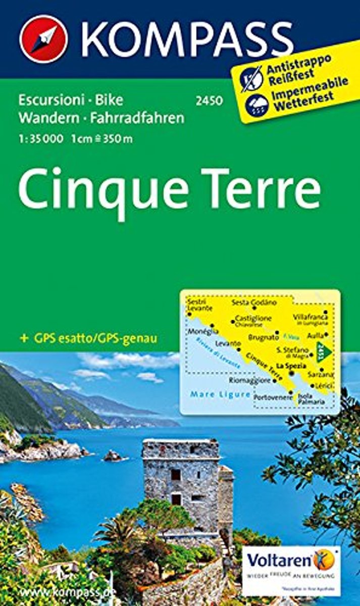
- Cinque Terre Kompass 2450
- Cinque Terra area of the Ligurian Coast on a double-sided, contoured and GPS compatible recreational map at 1:50,000 from Kompass, printed on durable, waterproof and tear-resistant synthetic paper. Coverage Montemarcello Magra Regional Park. In addition to numerous local hiking trails and long-distance routes such as the Alta Via dei Monti... Read more

Stanfords
United Kingdom
- Monti Sibillini National Park Edizioni Multigraphic 60/61
- Monti Sibillini National Park at 1:25,000 on a double-sided contoured map from Edizioni Multigraphic highlighting local waymarked hiking routes including the GAS – Grand Anello dei Sibilini, the circular tour around the mountains.The map has contours at 25m intervals with colouring for woodlands. Waymarked routes are highlighted and annotated... Read more
Stanfords
United Kingdom
- Riviera di Ponente - Albisola Marina to Noli Edizioni Multigraphic 103
- Map No. 103, covering at 1:25,000 the coast of the Italian Riviera from Albisola Marina across Savona to Noli and inland to Altare. The map is part of a series of walking maps from Edizioni Multigraphic covering the Ligurian Alps and the coast, the crest of the Apennines along the border between Tuscany with the neighbouring regions, and parts... Read more

Stanfords
United Kingdom

Stanfords
United Kingdom
- Alta Via dei Monti Liguri Central - Passo dei Giovi to Sella Giassina
- Alta Via dei Monti Liguri in the Genoa Province: the central part from Passo dei Giovi to Sella Giassina presented at 1:25,000 on a contoured and GPS compatible map from Edizioni Multigraphic showing the high route and local paths, refuges, places of interest, plus on the reverse lovely drawings of local views and monuments.Contours at 20m... Read more

Stanfords
United Kingdom