De Zwerver
Netherlands
Netherlands
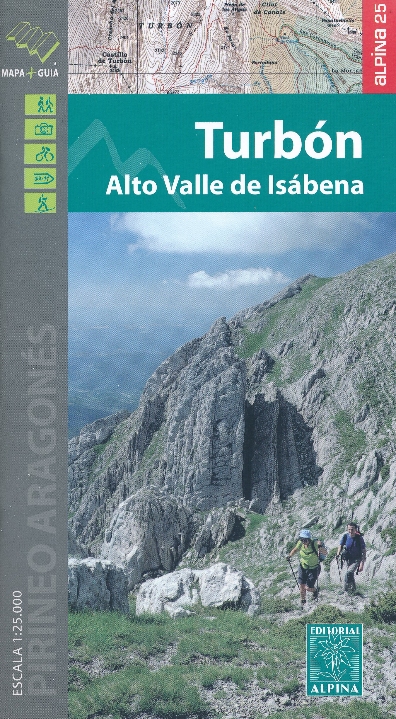
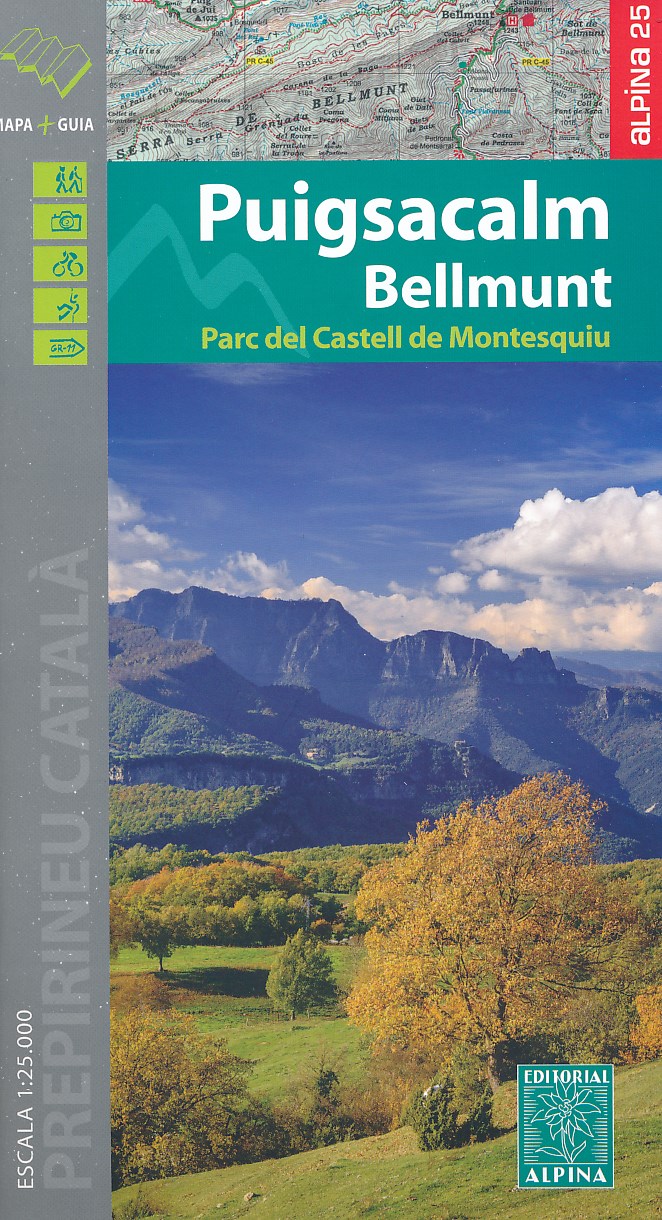
- Wandelkaart 45 Puigsacalm Bellmunt | Editorial Alpina
- Zeer gedetailleerde wandelkaart van een klein deel van de Spaanse Pyreneeen. Met ingetekende wandelroutes en andere informatie. Uitstekende kaart. Met symbolen voor campings, hutten. Op de topografische wandelkaart worden o.a. berghutten, campings aangeduid en hoogtelijnen, ingetekende wandelroutes en de GR paden (doorgaande... Read more
- Also available from:
- Stanfords, United Kingdom

Stanfords
United Kingdom
United Kingdom
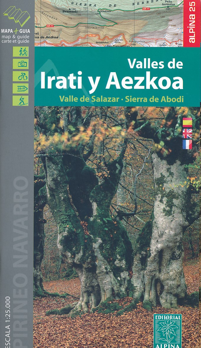
- Puigsacalm - Bellmunt Editorial Alpina
- Puigsacalm - Bellmunt in an extensive and very popular series of walking maps from Editorial Alpina covering the Pyrenees, Catalonia and other selected hiking areas in Spain, including Picos de Europa, Sierra Nevada and parts of Andalucía, Majorca, etc. Scales vary from 1:50,000 to 1:10,000, with the majority of the titles at 1:25,000. The maps... Read more